Bavarian Scenic Ride
A road cycling route starting from Brennberg
Enjoy a scenic ride through the Bavarian countryside, passing by charming villages and natural landmarks.
Map

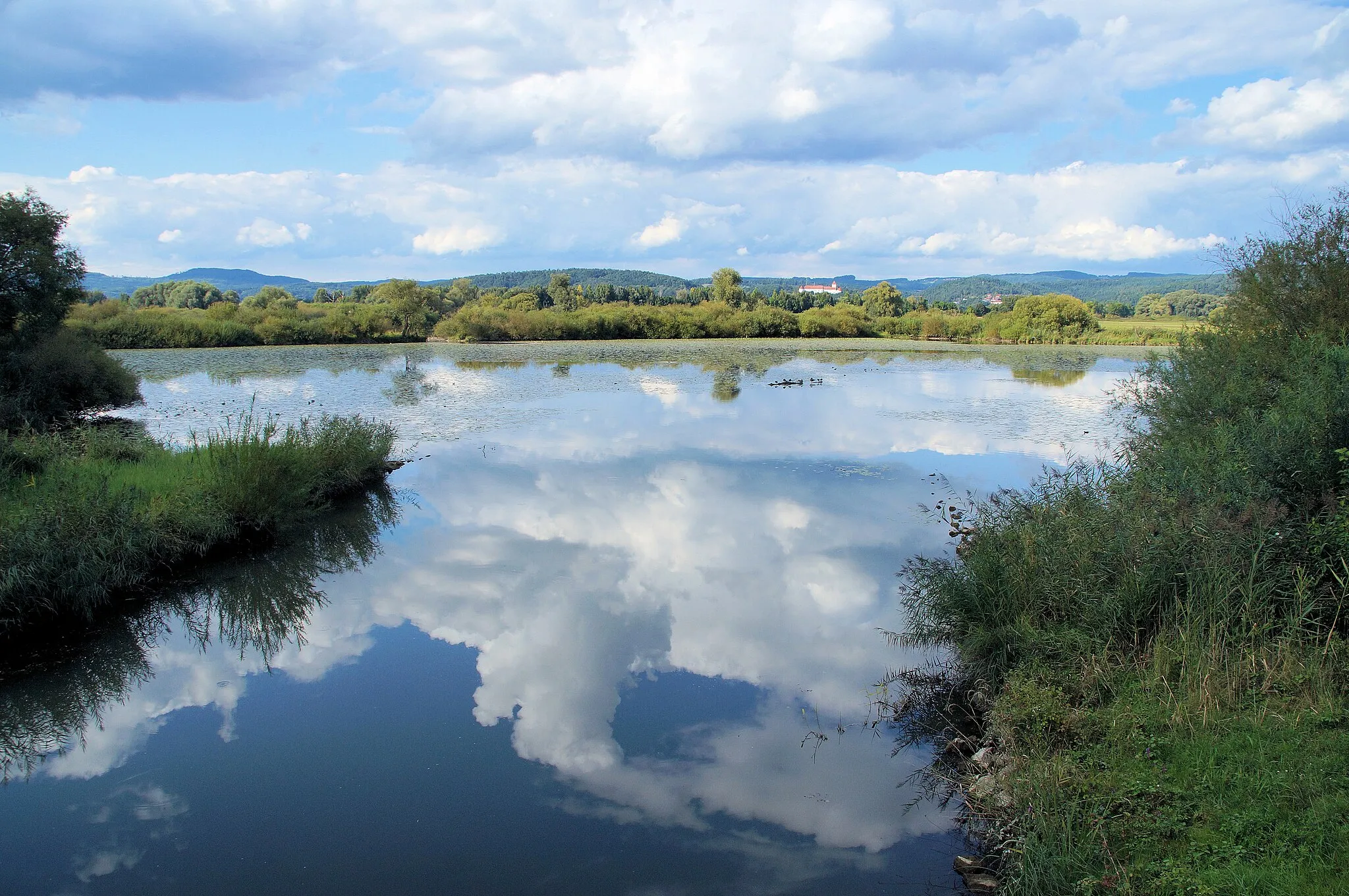
Experience the beauty of the Bavarian countryside on this road cycling route. With a distance of 47 km and an ascent of 806 m, this route offers a scenic ride suitable for cyclists of intermediate level. Along the way, you'll pass by Pfaffenfang, a small village with traditional Bavarian houses and picturesque surroundings. Walderbach, another highlight of the ride, is known for its historic monastery and tranquil atmosphere. The route also includes attractions such as Geiselberg, a charming hill offering panoramic views, and Marienstein, a natural landmark with impressive rock formations. Overall, this route provides an opportunity to immerse yourself in the peaceful ambiance and natural beauty of the Bavarian countryside.
road
47 km
806 m
Chill
Route profile
Highlights on the route
0 km
0 km
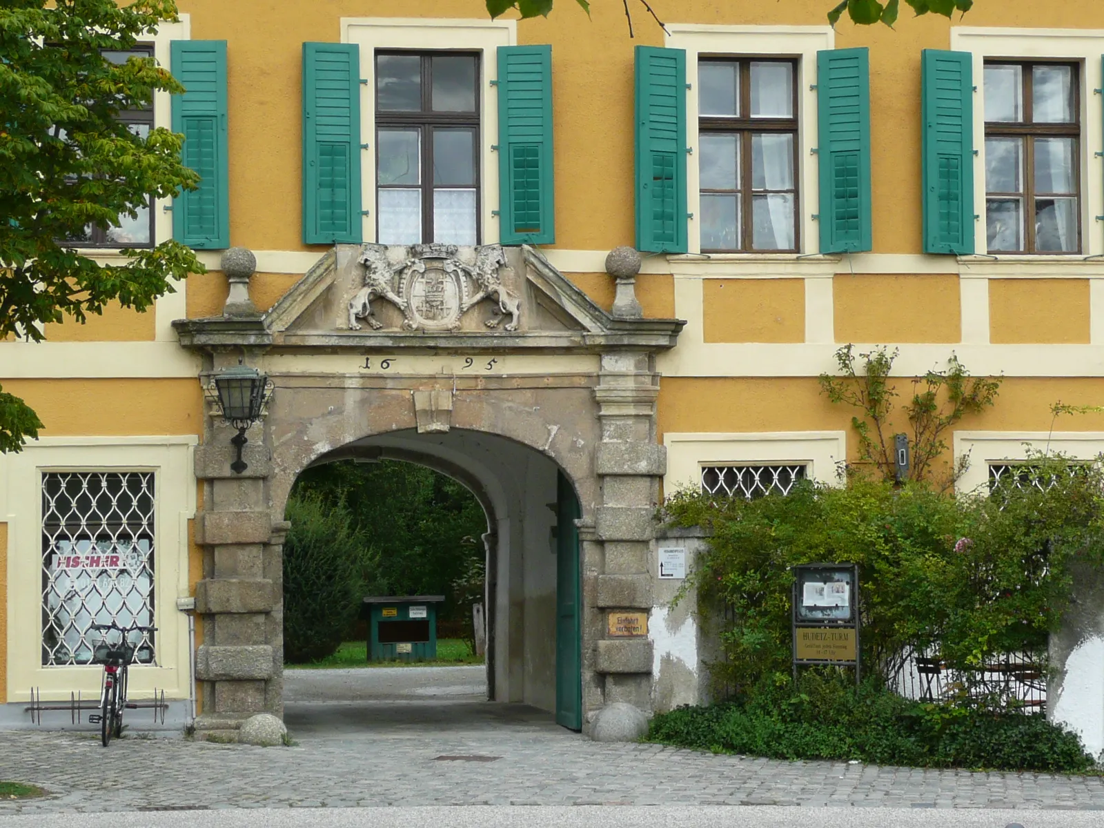
Start: Brennberg Village centerBrennberg: Unleash your cycling spirit amidst the pristine beauty of Brennberg.
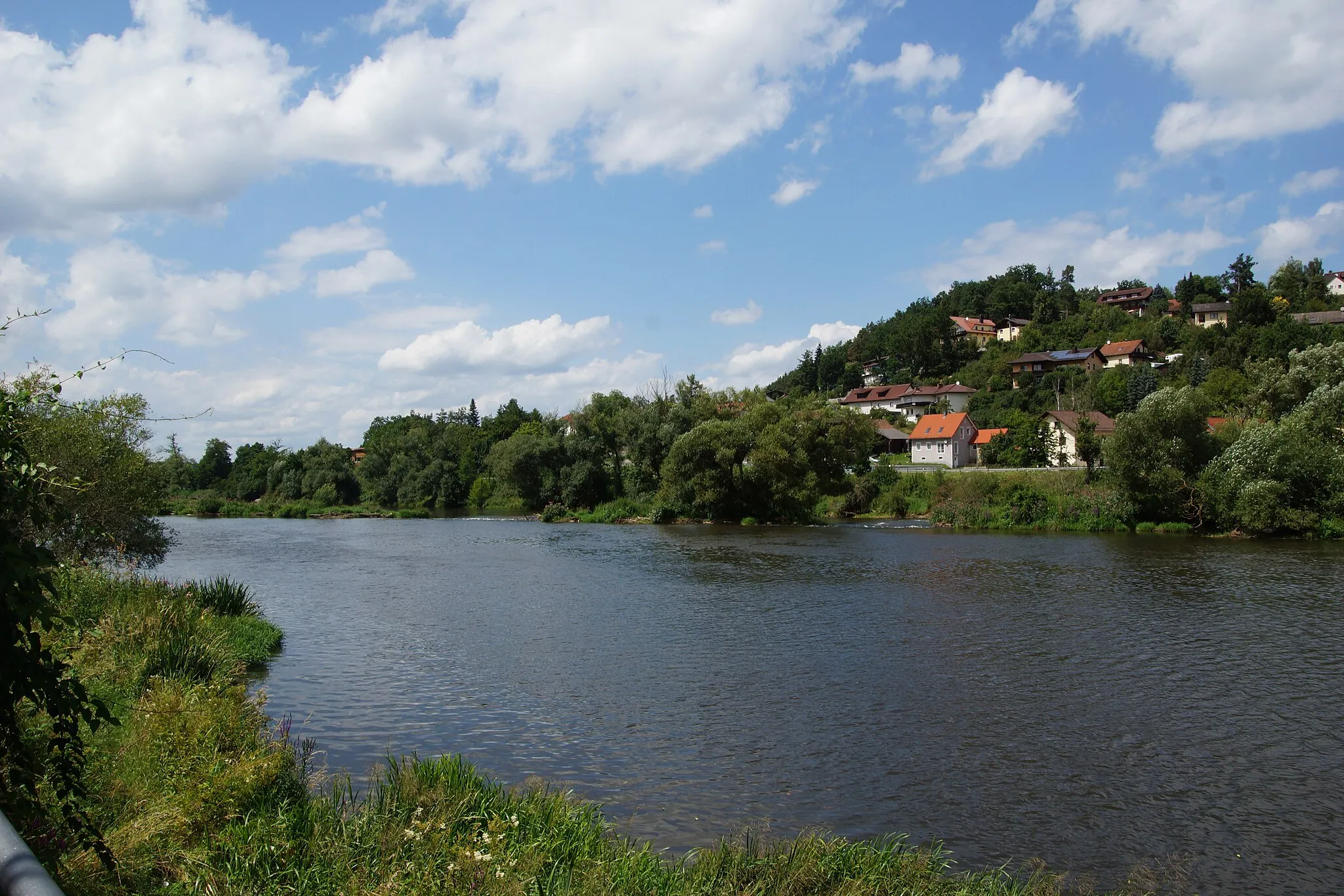
Brennberg, located in the Oberpfalz region of Germany, is a hidden gem for road and gravel cyclists. The town is surrounded by lush forests and rolling hills, offering a tranquil escape for cyclists seeking solitude in nature. Brennberg itself boasts well-paved roads and gravel paths, perfect for leisurely rides or more intense training sessions. Cyclists can also explore the nearby Bavarian Forest, which provides challenging climbs and stunning panoramic views. With its peaceful ambiance and scenic landscapes, Brennberg is a lesser-known but highly rewarding destination for cycling enthusiasts.9 km
9 km
PfaffenfangVillagePfaffenfang is a small Bavarian village with traditional architecture and lush green surroundings, providing a serene atmosphere for cyclists.
24 km
24 km
DeifelsbuxnViewpointDeifelsbuxn is a unique rock formation located near the village of Walderbach, offering an interesting geological highlight along the route.
26 km
26 km
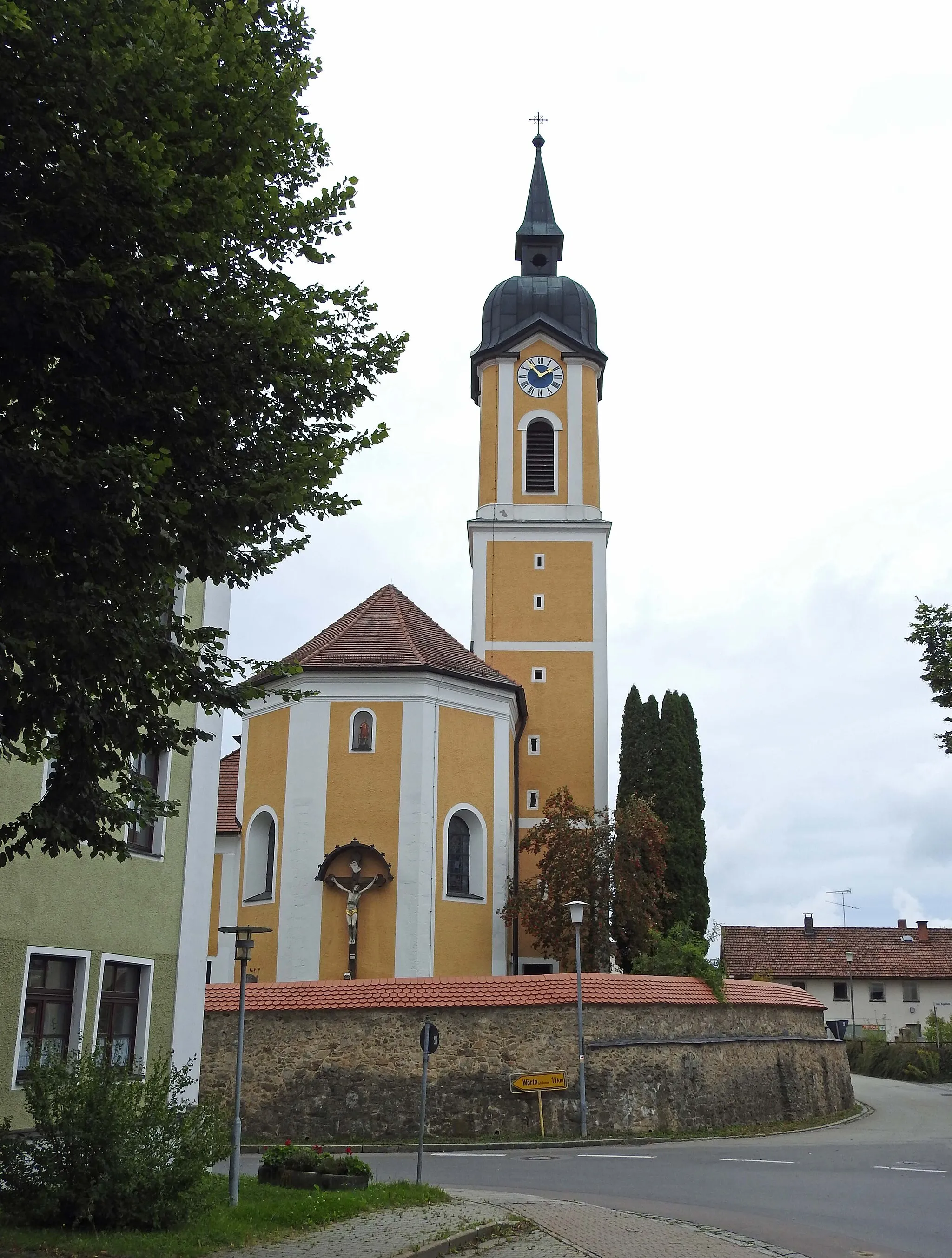
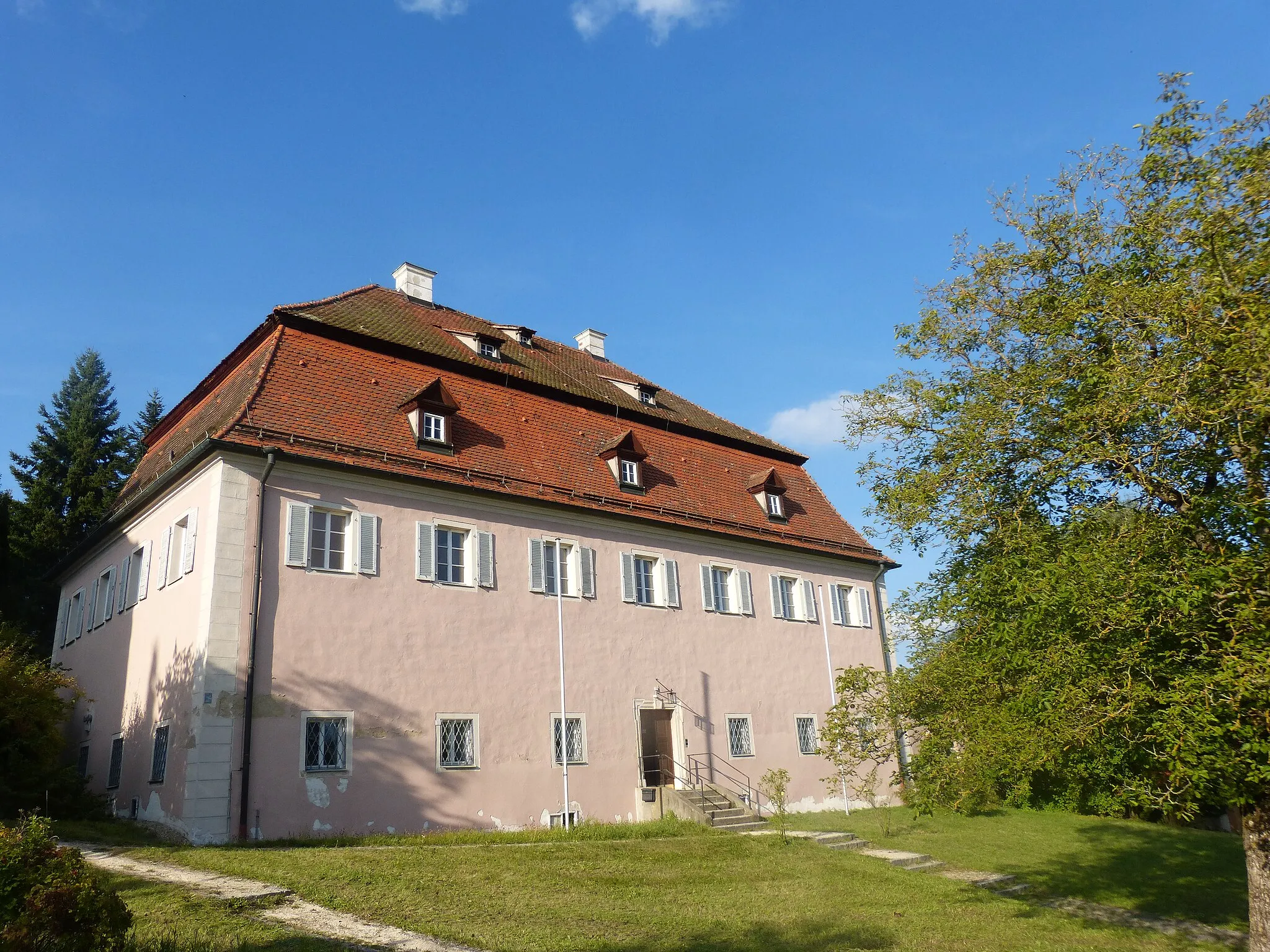
WalderbachVillageWalderbach is home to a historic monastery with beautiful architecture and tranquil surroundings, offering a peaceful spot for a break or reflection.
33 km
33 km
Geiselberg550 mPeakGeiselberg is a scenic hill offering panoramic views of the surrounding countryside, making it an ideal spot for rest and photo opportunities.
38 km
38 km
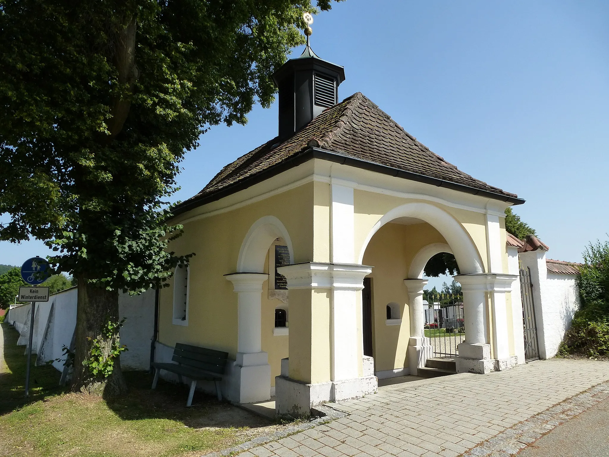
MariensteinHamletMarienstein is a natural landmark characterized by unique rock formations, providing a fascinating sight along the route.
47 km
47 km
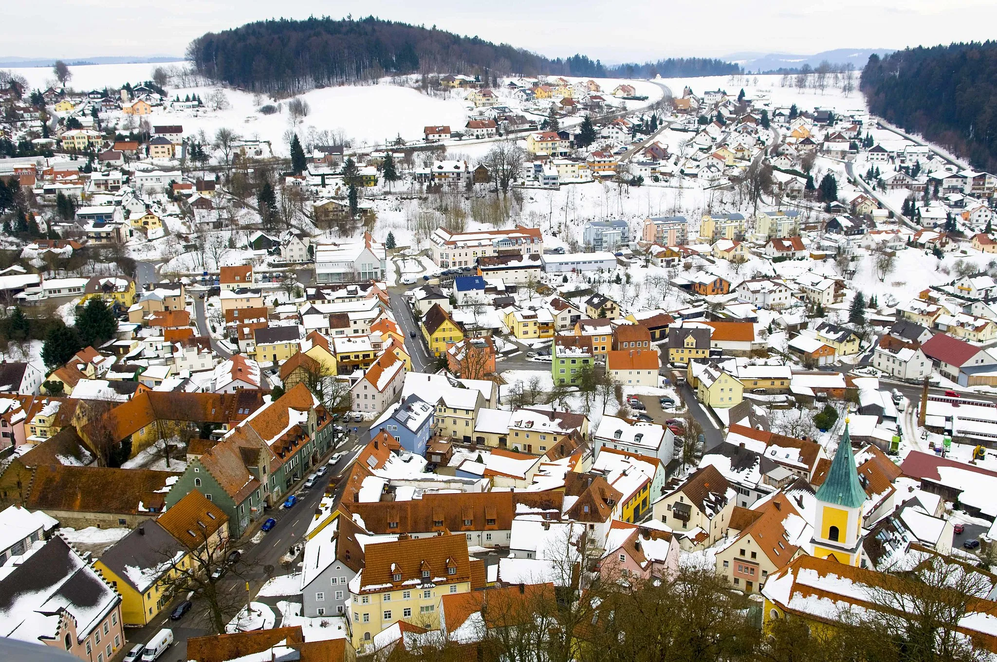
BrennbergVillageBrennberg, located near the starting point, is a picturesque village with a rich history and beautiful views over the surrounding countryside.
47 km
47 km
Finish: Brennberg Village centerBrennberg: Unleash your cycling spirit amidst the pristine beauty of Brennberg.
Cycling routes from Brennberg:
Discover the Charm of Bernhardswald and Lambertsneukirchen Bavarian Scenic Ride Scenic Road Cycling in Altenthann and Dangelsdorfer Berg Exploring Historic Routes From Burgruine Brennberg to Wörth an der Donau Explore Brennberg and the Surrounding Castles The Hills of Bernhardswald and Donaustauf Danube Loop via Time Hill Cultural and Natural Highlights Gravel Adventure to Falkenstein Castle
Cycling routes nearby: