Bavarian Forest Explorer
A gravel cycling route starting from Grafenwiesen
Discover the beauty of the Bavarian Forest on this 81 km gravel route
Map
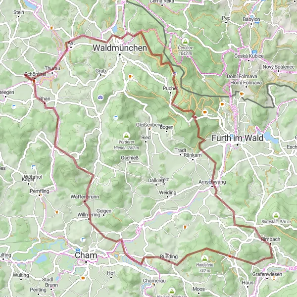
Embark on an adventure through the enchanting Bavarian Forest on this 81 km gravel route. With a total ascent of 1493 meters, this challenging route will delight intermediate and experienced riders alike. Highlights along the way include Runding, Aussichtsplattform, Galgenberg, Waffenbrunn, Lixendöferinger Bierl, Hocha, Kreuzfelsen, Arnschwang, and Schlossberg.
gravel
81 km
1493 m
Tough
Route profile
Highlights on the route
0 km
0 km
Start: Thürnhofen Village centerGrafenwiesen: Cycling Paradise in Oberpfalz
Grafenwiesen, located in the Oberpfalz region of Germany, offers a diverse range of cycling opportunities for both road and gravel cyclists. The area is blessed with scenic routes that wind through picturesque villages and breathtaking landscapes. Road cyclists can enjoy well-paved roads with challenging climbs and exhilarating descents. Gravel cyclists can explore the surrounding forest trails and gravel paths, immersing themselves in the tranquility of nature. Nearby, the famous Klaislinger Forest is a popular destination for mountain bikers. With its stunning views and varied terrains, Grafenwiesen is a must-visit for cycling enthusiasts.10 km
10 km
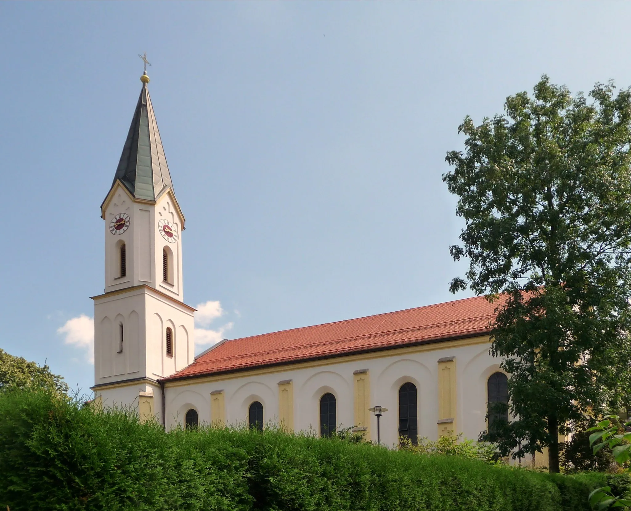
RundingVillageStop by the peaceful village of Runding, known for its charming Bavarian architecture and panoramic views of the surrounding forest.
10 km
10 km
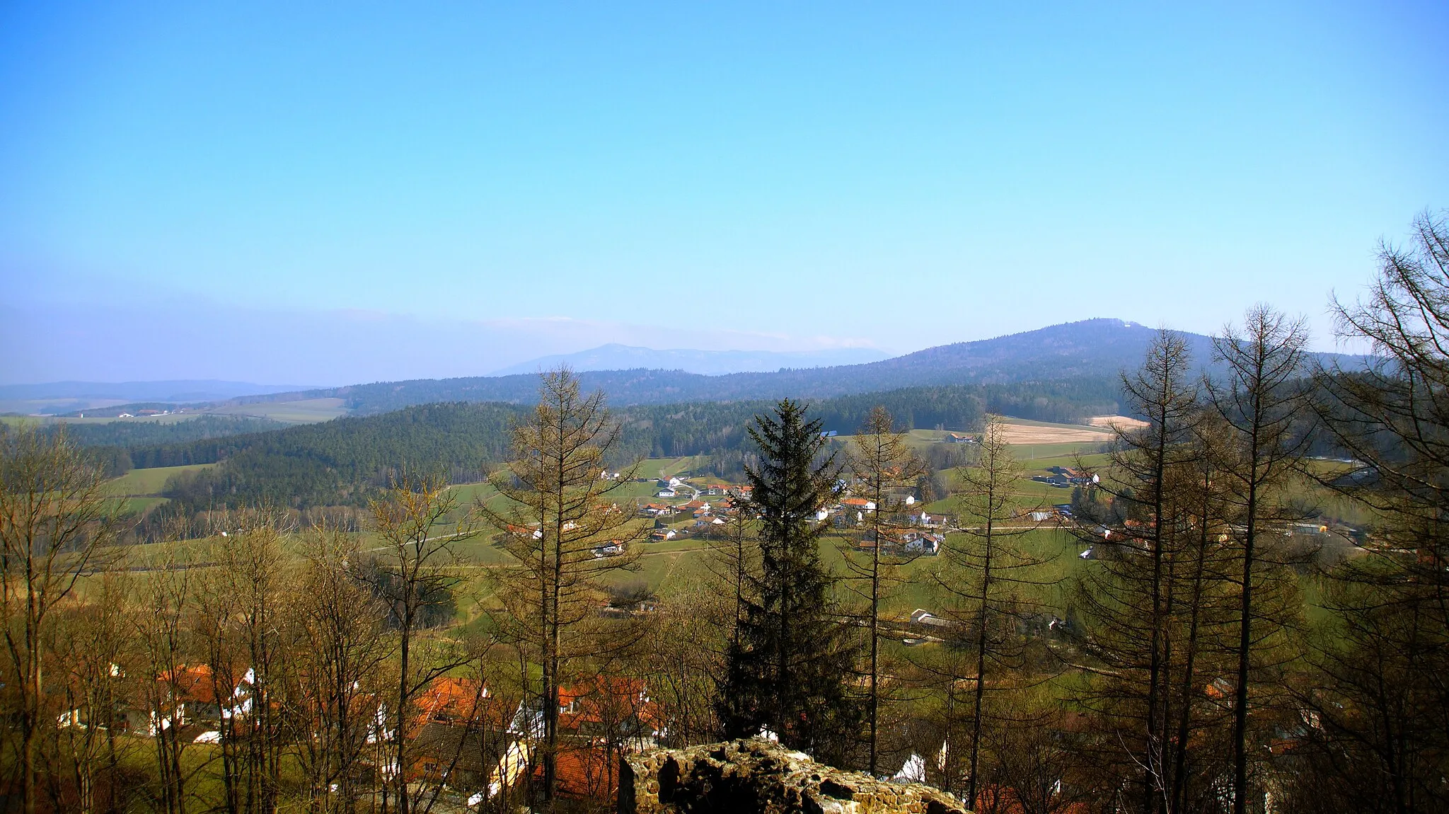
AussichtsplattformViewpointTake in the stunning vistas from the Aussichtsplattform, a viewpoint that offers panoramic views of the Bavarian Forest.
17 km
17 km
Galgenberg415 mPeakClimb Galgenberg, a scenic hill offering breathtaking views of the surrounding landscape and Bavarian villages.
22 km
22 km
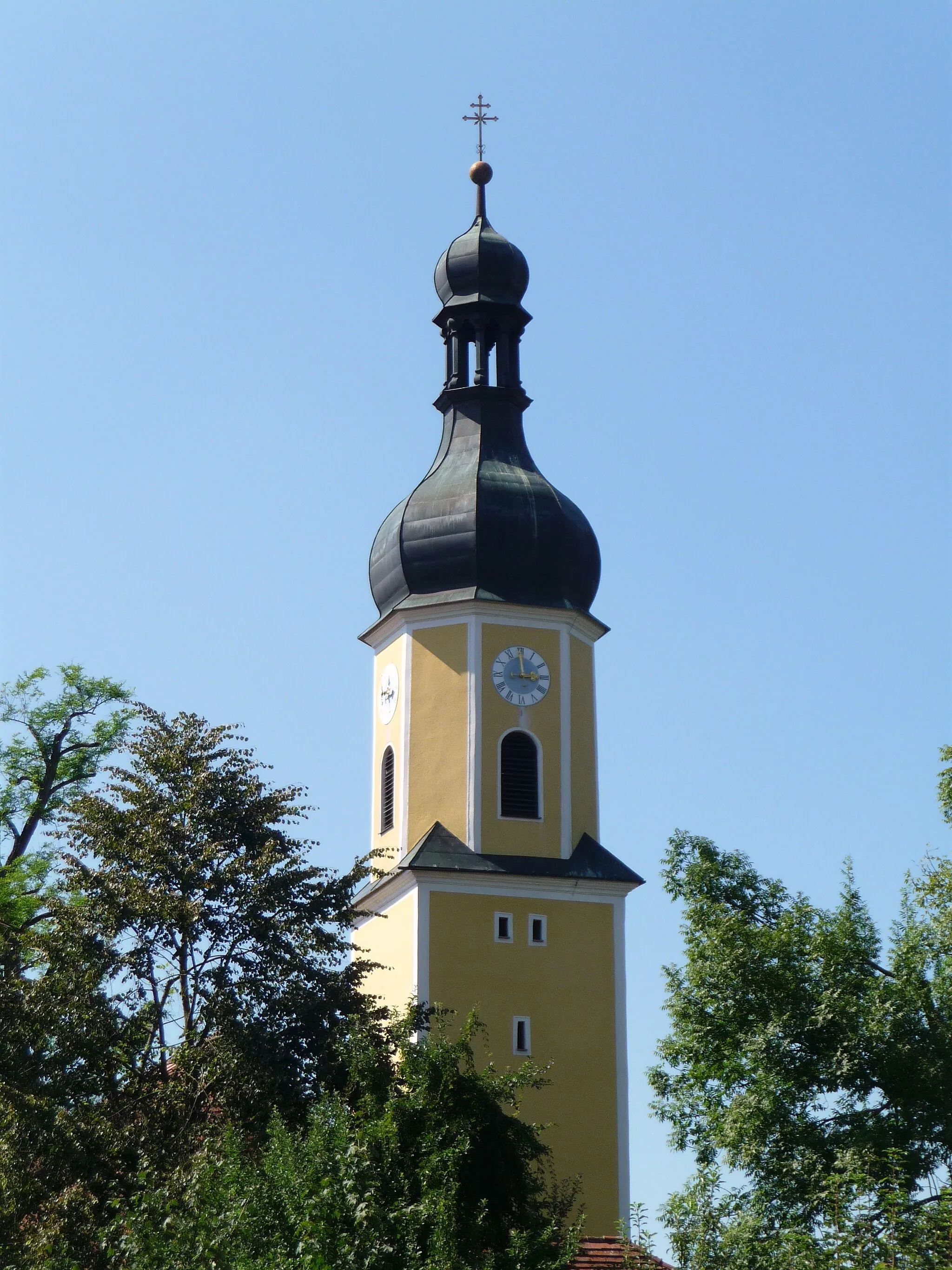
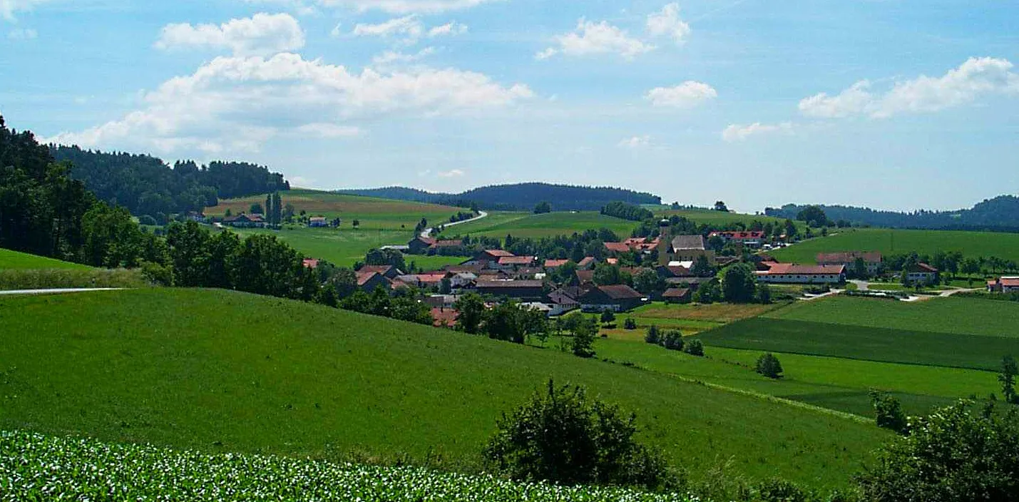
WaffenbrunnVillageExplore the picturesque village of Waffenbrunn, famous for its historic buildings and traditional Bavarian charm.
32 km
32 km
Lixendöferinger Bierl491 mPeakVisit Lixendöferinger Bierl, a traditional Bavarian brewery known for its quality craft beers and delicious cuisine.
46 km
46 km
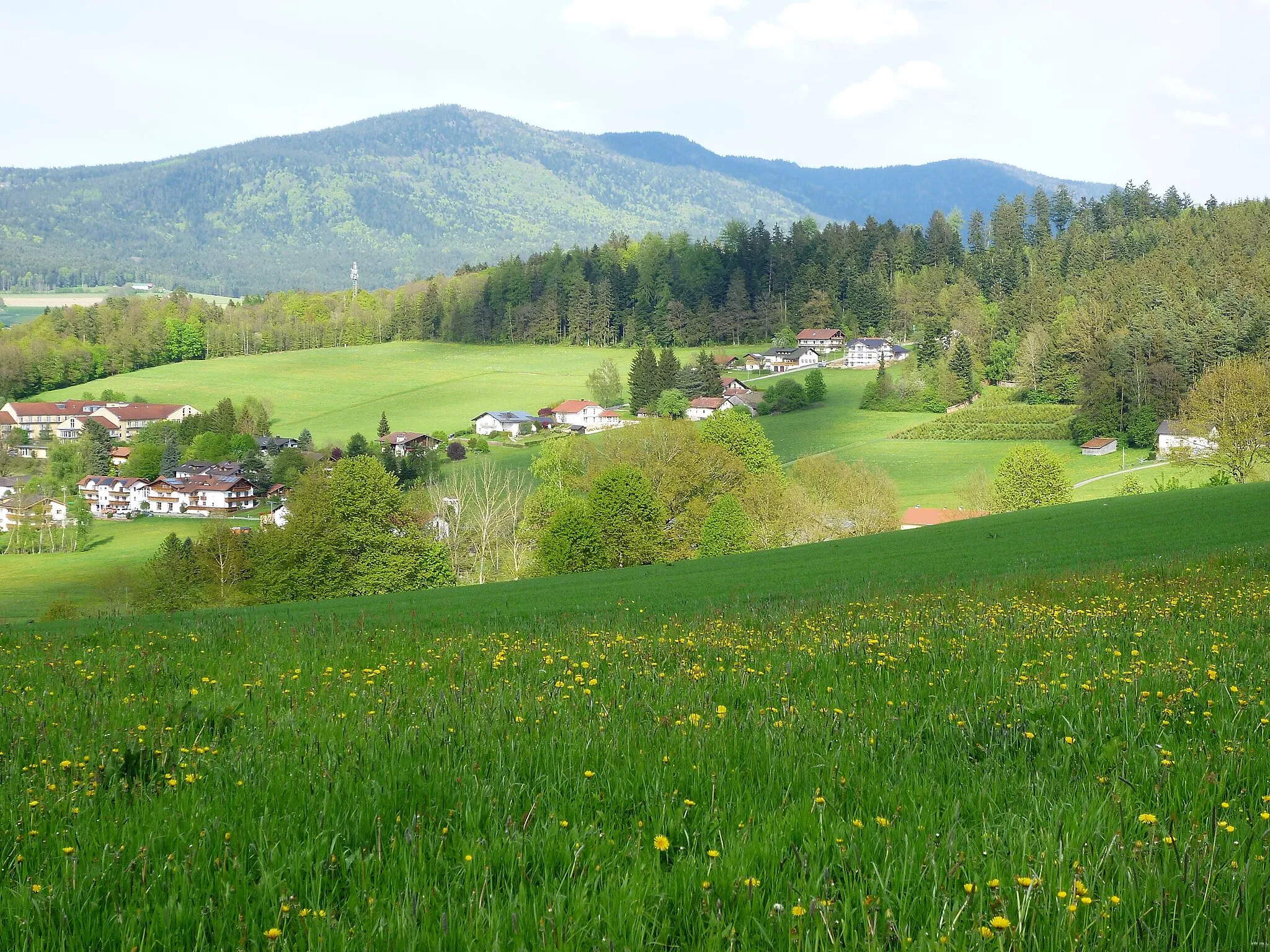
HochaVillageClimb Hocha, a mountain peak with stunning panoramic views of the Bavarian Forest and surrounding countryside.
58 km
58 km
Kreuzfelsen938 mPeak70 km
70 km
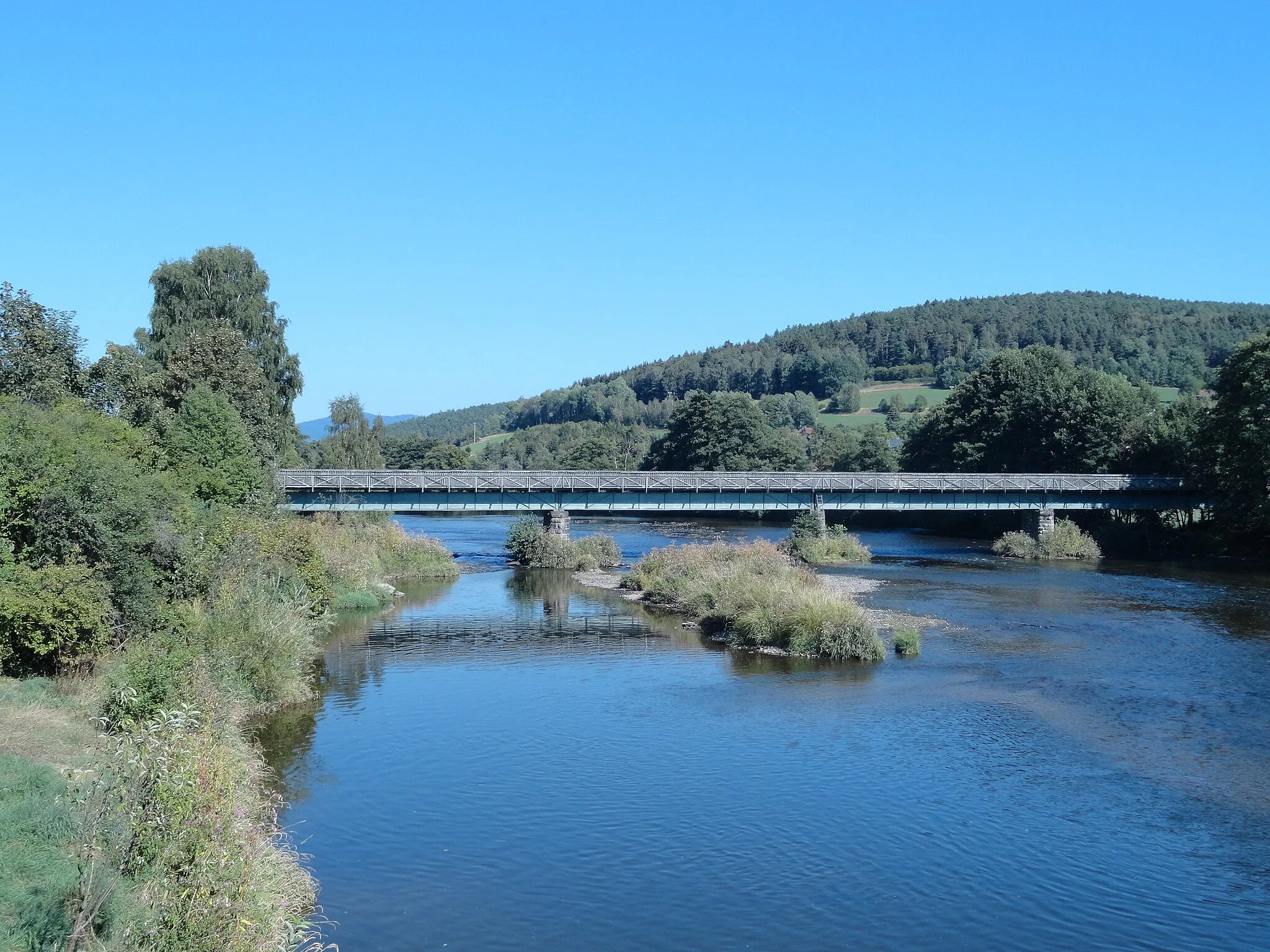
ArnschwangVillageExplore Arnschwang, a picturesque village located on the banks of the River Chamb, offering beautiful views and a peaceful atmosphere.
77 km
77 km
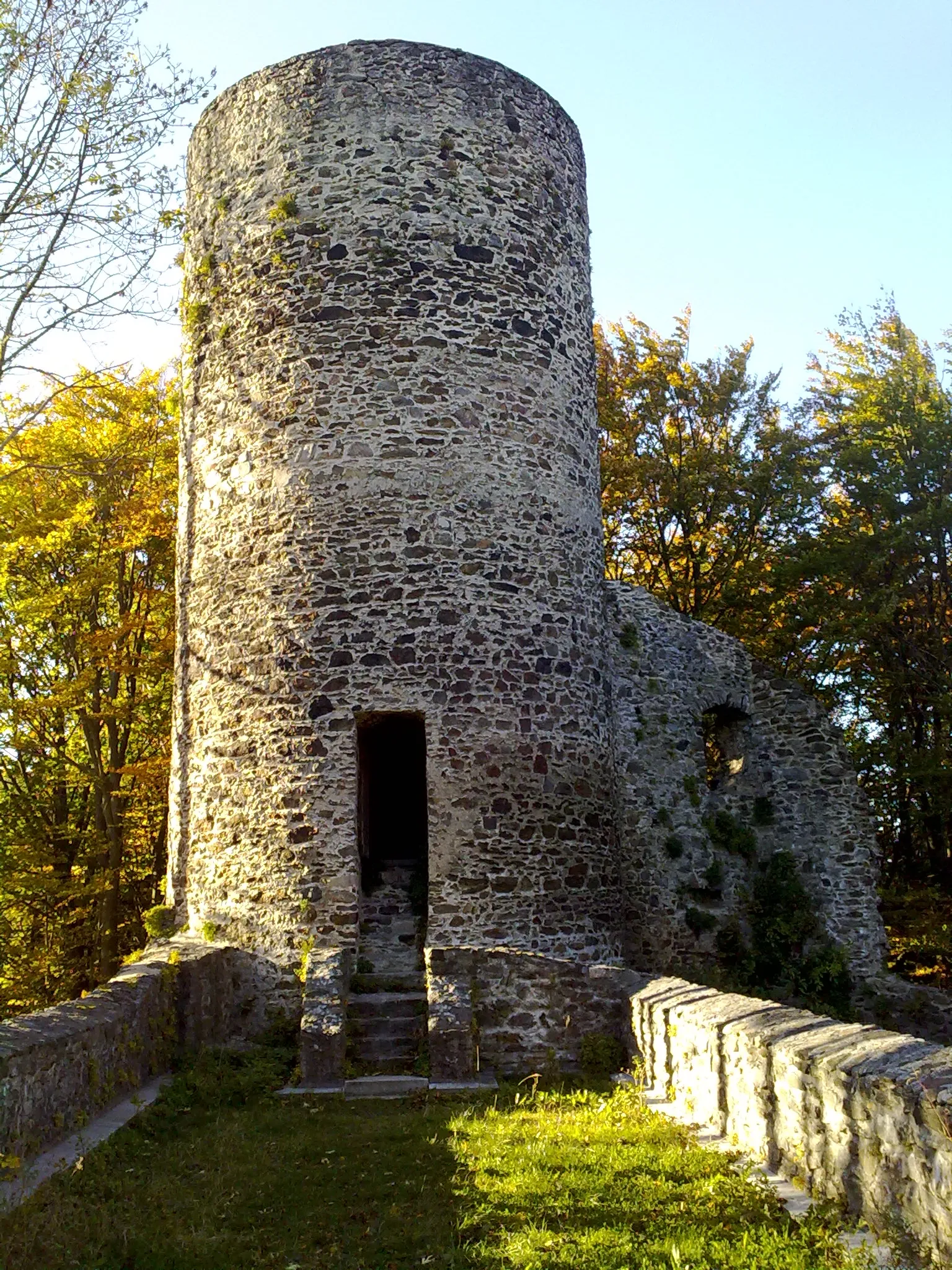
Schlossberg700 mPeakDiscover the historical ruins of Schlossberg, an ancient fortress with a fascinating history and amazing views of the Bavarian Forest.
81 km
81 km
Finish: Thürnhofen Village centerGrafenwiesen: Cycling Paradise in Oberpfalz
Cycling routes from Grafenwiesen:
Cycling routes nearby: