Silver Lake Challenge
A road cycling route starting from Grafenwiesen
Take on the epic Silver Lake Challenge on this 107 km road route
Map

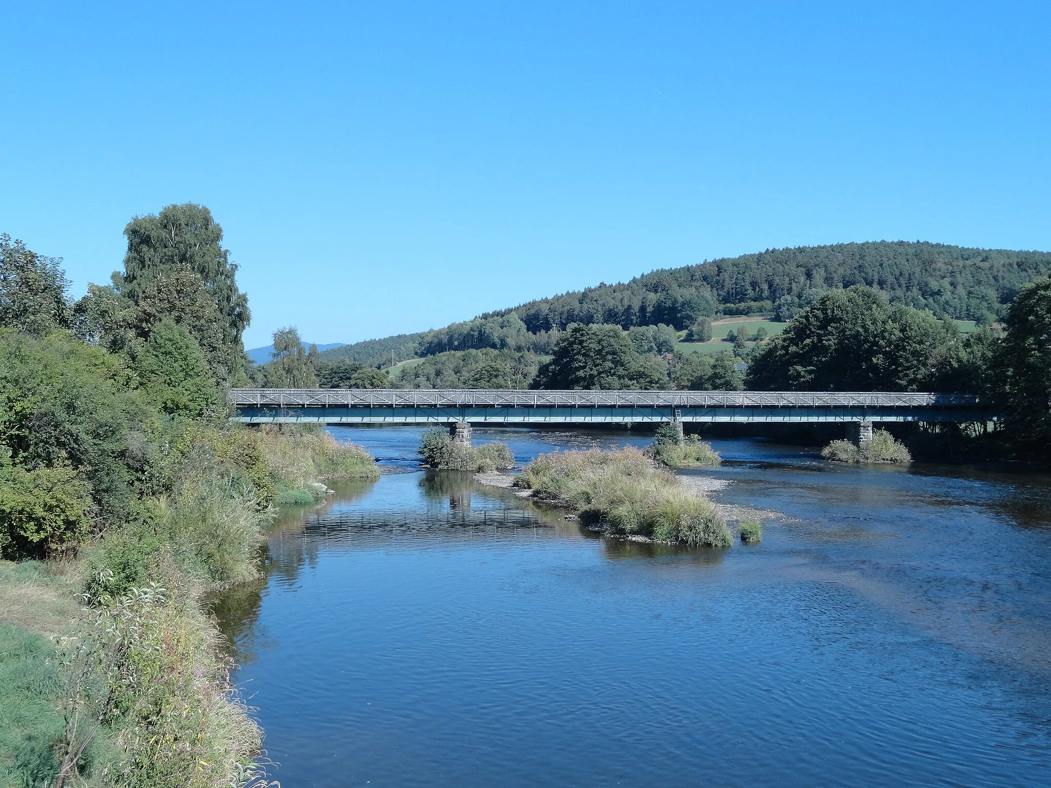
Challenge yourself on the legendary Silver Lake Challenge, an epic 107 km road route that will test your endurance and cycling skills. With a total ascent of 2069 meters, this route is suitable for experienced road cyclists seeking a thrilling adventure. Highlights include Hohenwarth, Brändriegel, Dešenice, Na Vápenici, Jesení, Dveře, Železná Ruda, Hindenburgkanzel, and Arrach.
road
107 km
2069 m
Savage
Route profile
Highlights on the route
0 km
0 km
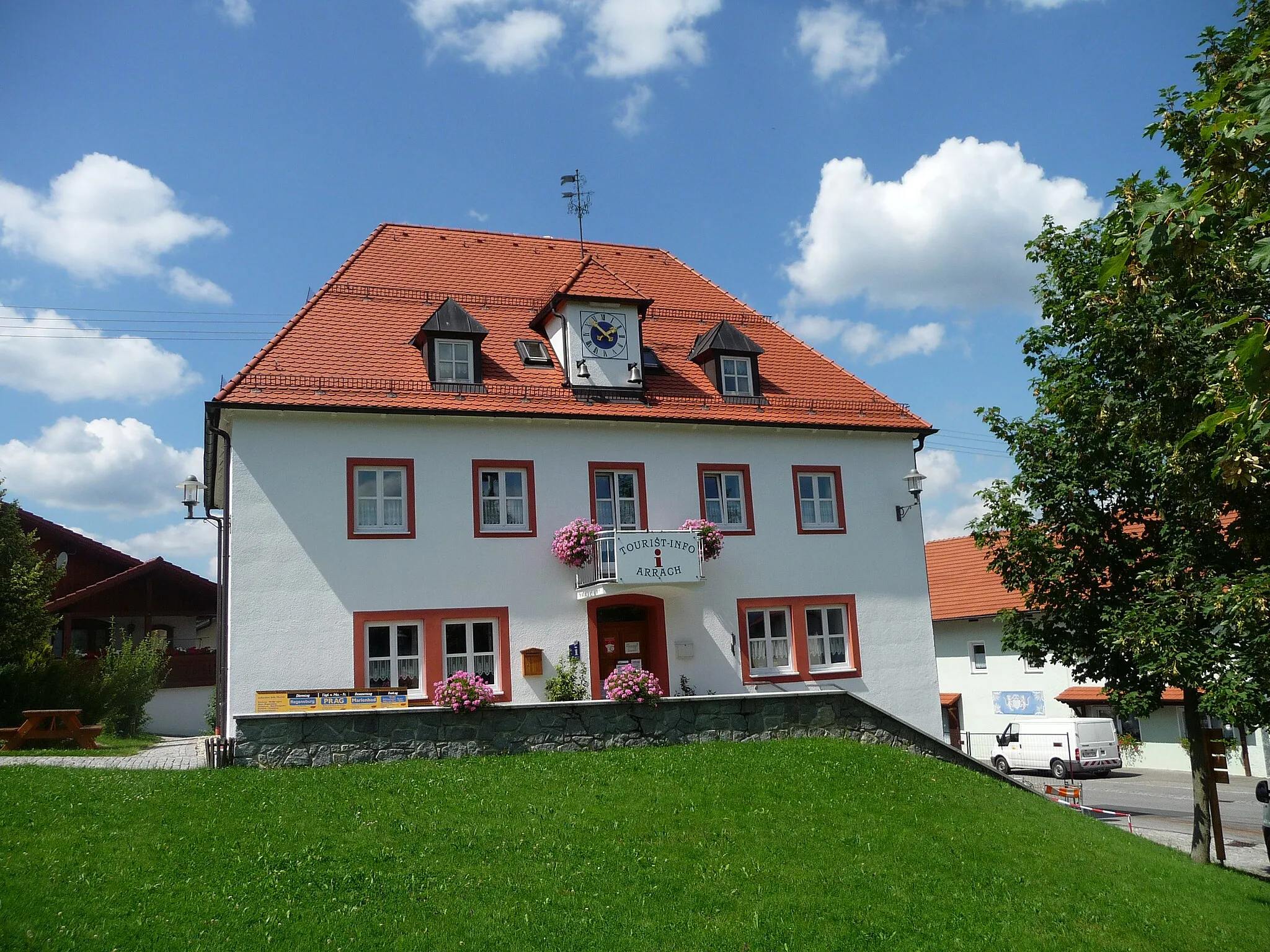
Start: Unterzettling Village centerGrafenwiesen: Cycling Paradise in Oberpfalz
Grafenwiesen, located in the Oberpfalz region of Germany, offers a diverse range of cycling opportunities for both road and gravel cyclists. The area is blessed with scenic routes that wind through picturesque villages and breathtaking landscapes. Road cyclists can enjoy well-paved roads with challenging climbs and exhilarating descents. Gravel cyclists can explore the surrounding forest trails and gravel paths, immersing themselves in the tranquility of nature. Nearby, the famous Klaislinger Forest is a popular destination for mountain bikers. With its stunning views and varied terrains, Grafenwiesen is a must-visit for cycling enthusiasts.2 km
2 km
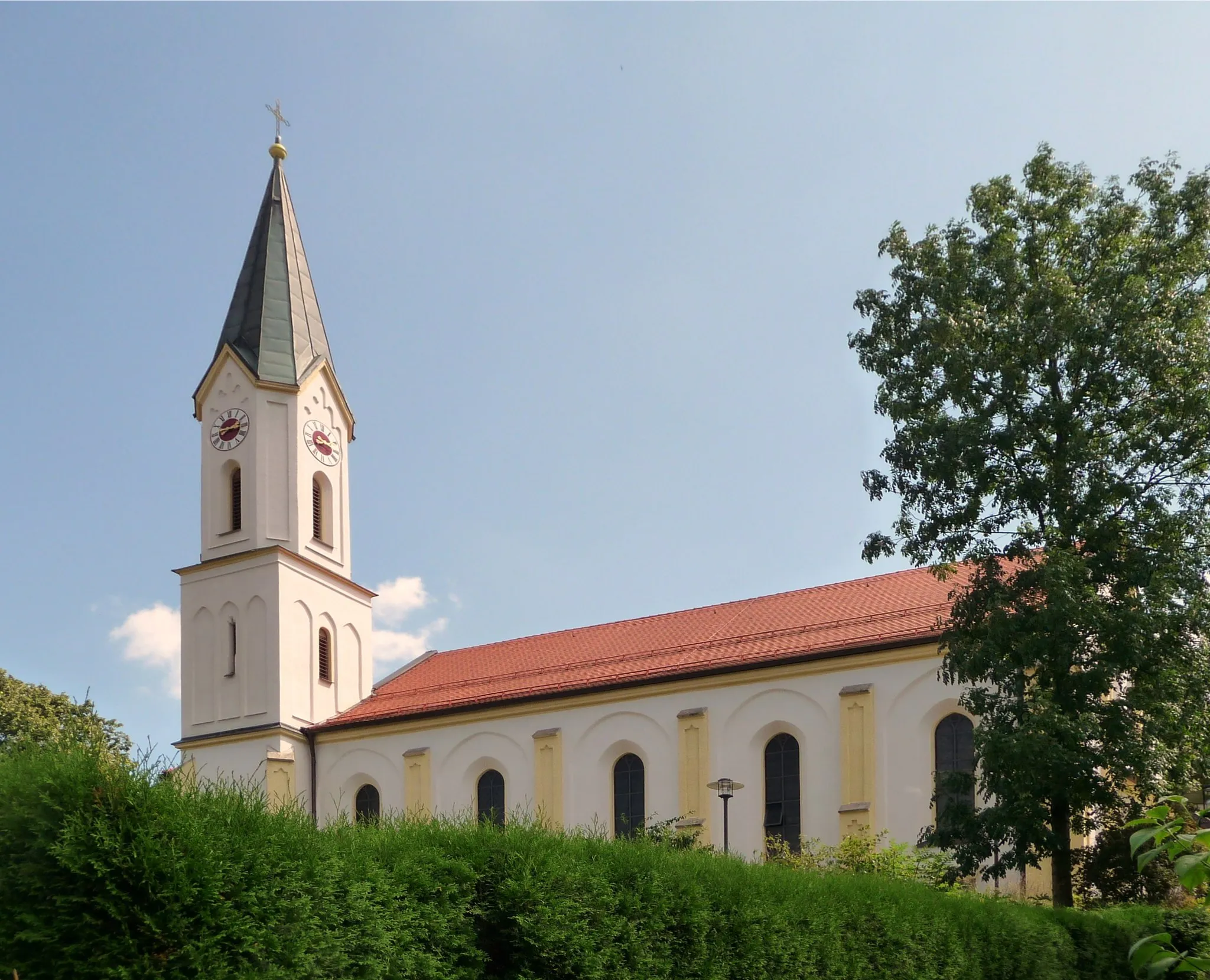
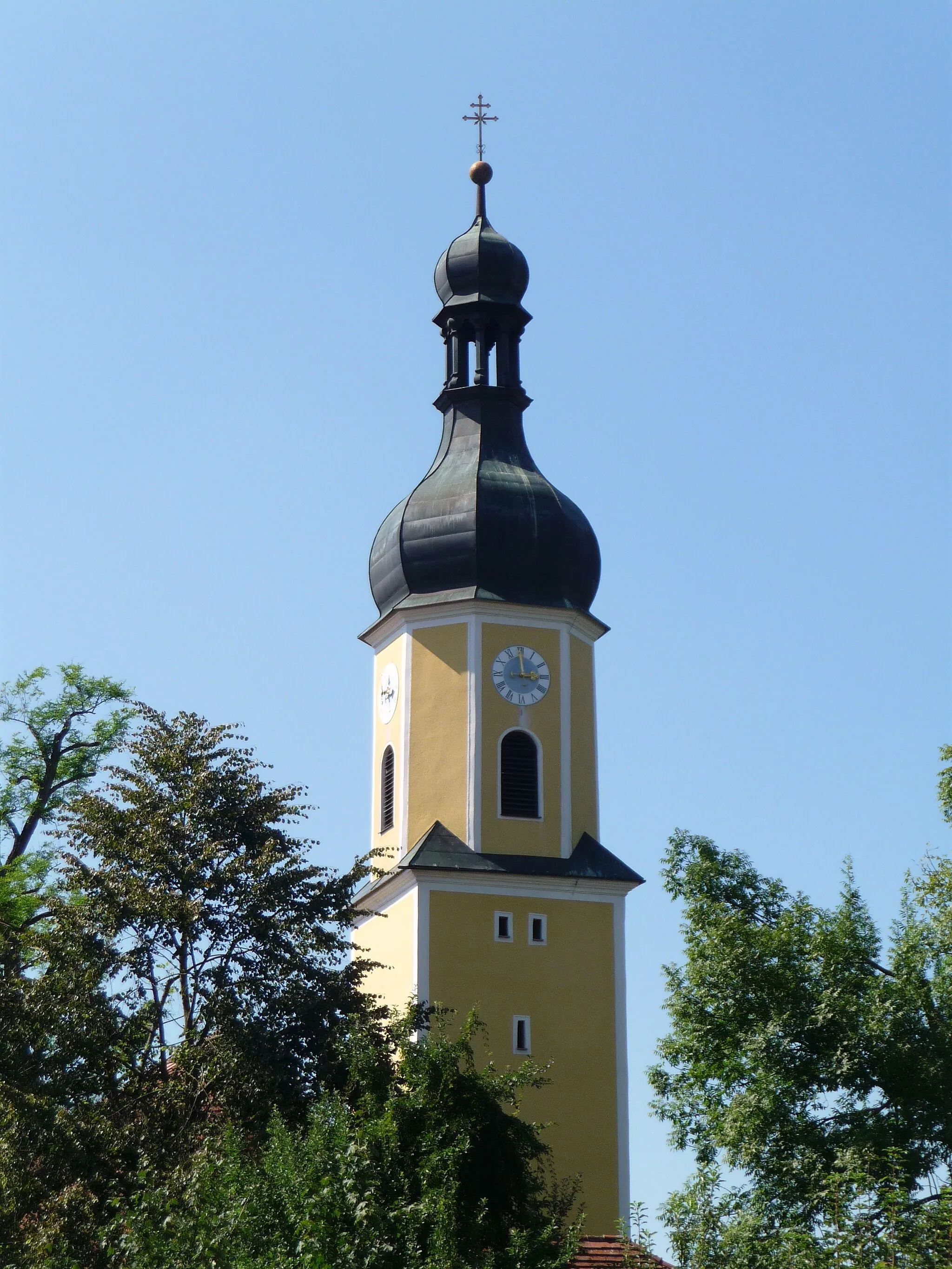
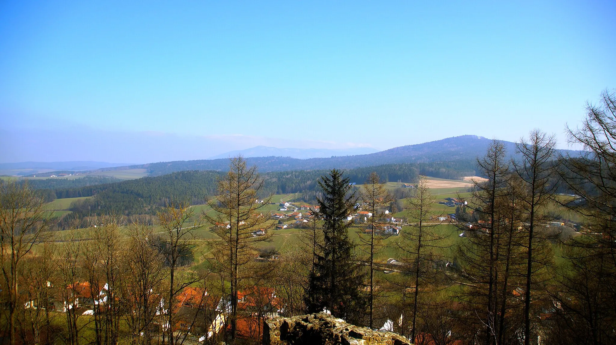
HohenwarthVillagePass through Hohenwarth, a charming village nestled at the foot of the Bavarian Forest, known for its scenic beauty and cultural heritage.
15 km
15 km
Brändriegel705 mPeakFace the challenge of Brändriegel, a steep climb renowned for its high gradient and stunning views of the surrounding landscape.
30 km
30 km
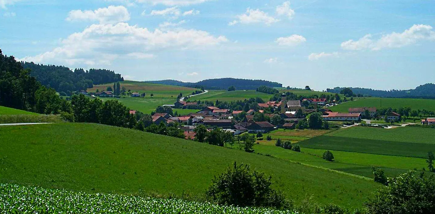
DešeniceVillageExperience the charming village of Dešenice, known for its traditional Czech architecture and welcoming locals.
37 km
37 km
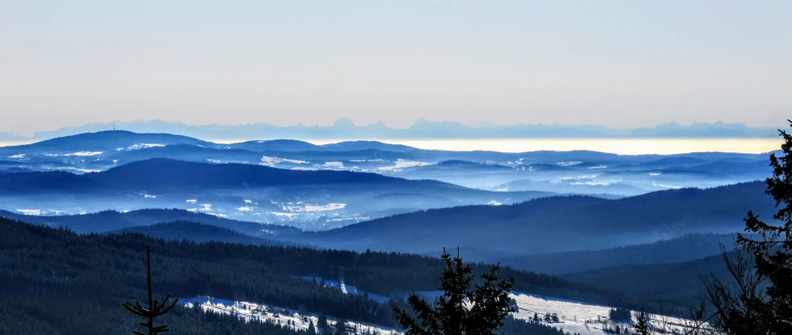
Na Vápenici532 mPeakVisit Na Vápenici, a scenic viewpoint offering panoramic views of the Šumava National Park and surrounding mountains.
47 km
47 km
JeseníHamletMarvel at the beauty of Jesení, a small village known for its picturesque streets, colorful houses, and traditional Czech craftsmanship.
61 km
61 km
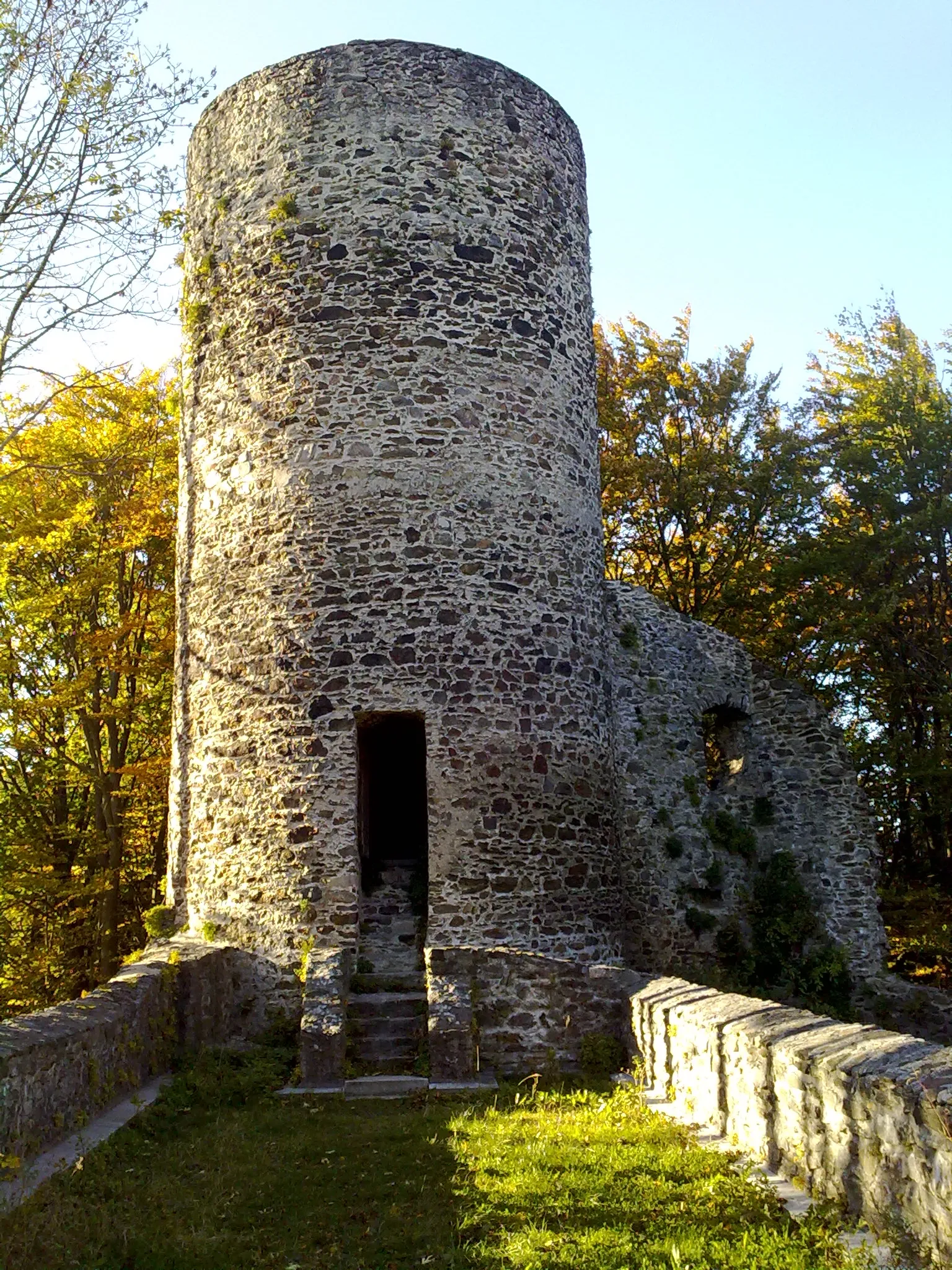
DveřeViewpointExplore the imposing rock formations and stunning nature of Dveře (The Doors), a popular destination for hikers and climbers.
69 km
69 km
Železná RudaTownDiscover Železná Ruda, a charming mountain town with excellent ski slopes, hiking trails, and unique alpine architecture.
81 km
81 km
Hindenburgkanzel1062 mPeakAdmire the panoramic views from the Hindenburgkanzel, a scenic viewpoint offering breathtaking vistas of the surrounding Bavarian countryside.
100 km
100 km
ArrachVillageConquer the Arrach Pass, a challenging climb known for its steep gradients and rewarding views of the Bavarian Forest.
107 km
107 km
Finish: Unterzettling Village centerGrafenwiesen: Cycling Paradise in Oberpfalz
Cycling routes from Grafenwiesen:
Cycling routes nearby: