The Oberpfalz Challenge
A road cycling route starting from Hohenfels
Conquer the rolling hills of Oberpfalz on this challenging road cycling route
Map

The Oberpfalz Challenge is a demanding road cycling route that takes you through the scenic landscapes and picturesque villages of the Oberpfalz region in Germany. With a total distance of 95 kilometers and an elevation gain of 1,248 meters, this route is sure to test the endurance and climbing skills of even the most experienced cyclists. The constantly changing terrain, with its steep ascents and thrilling descents, offers a thrilling and rewarding riding experience for adventure seekers.
road
95 km
1248 m
Tough
Route profile
Highlights on the route
0 km
0 km
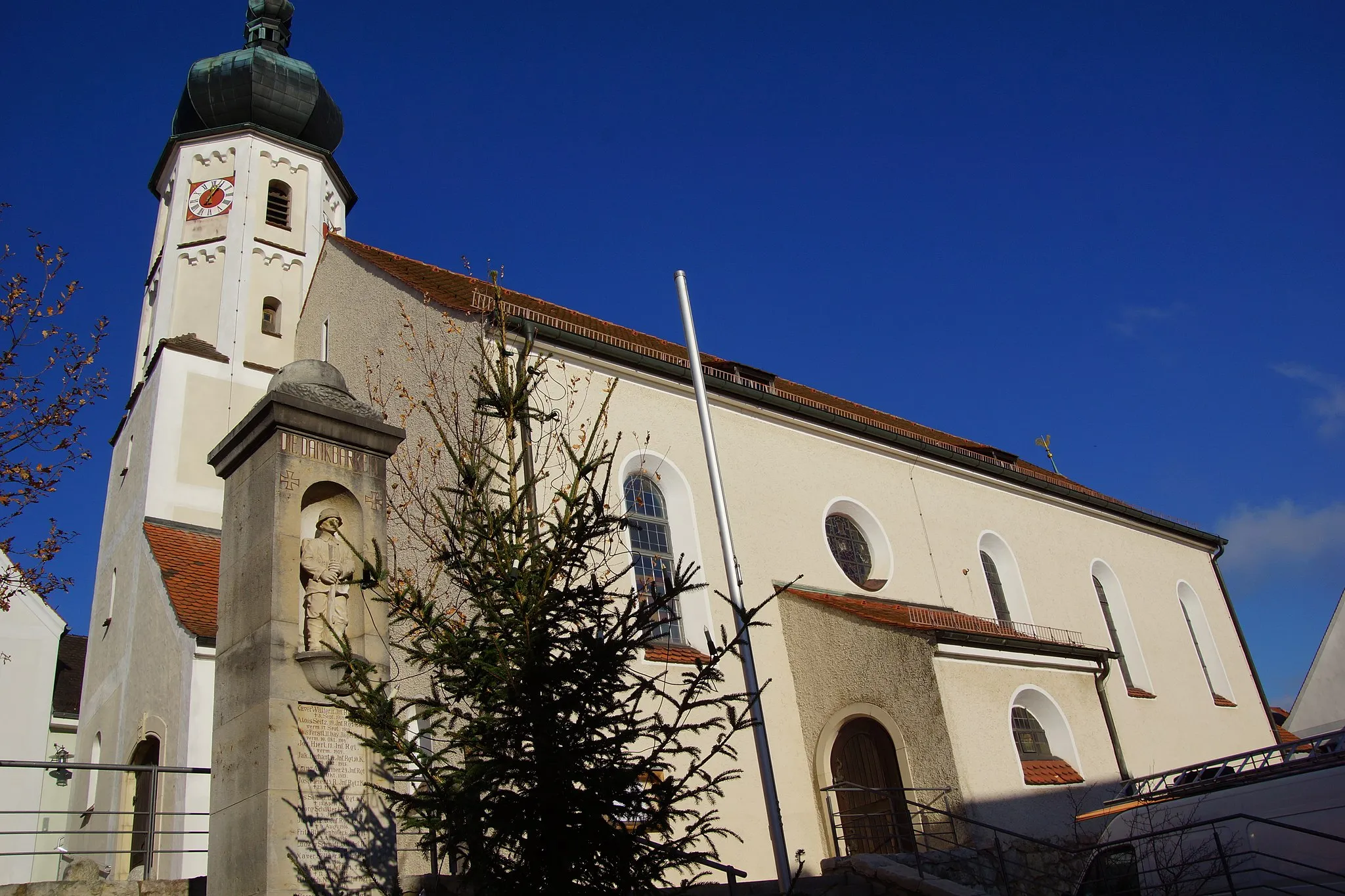
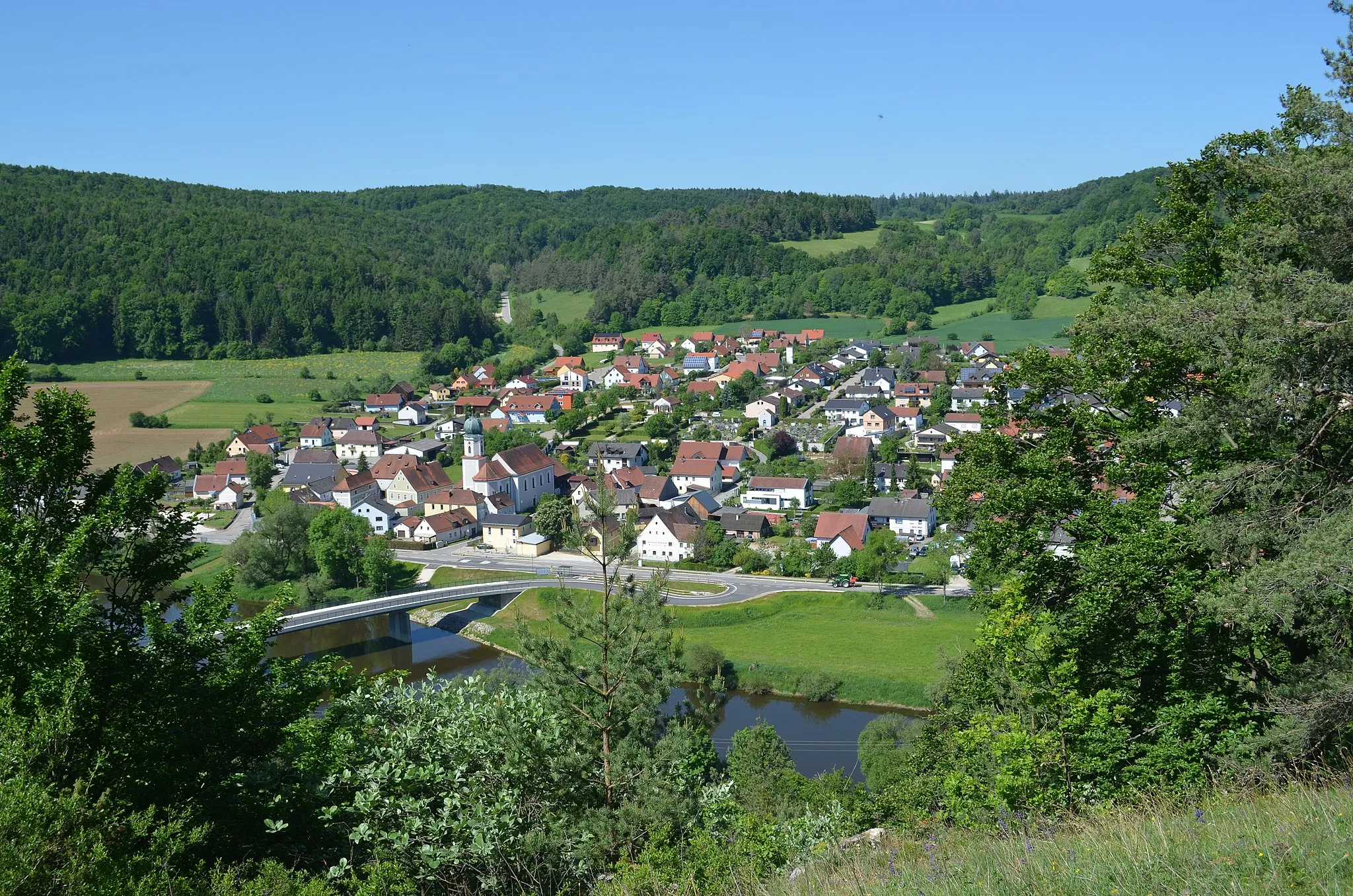
Start: Hohenfels Village centerHohenfels: Cycling paradise with challenging climbs
Hohenfels in Oberpfalz, Germany, offers a pleasant experience for road and gravel cyclists with its scenic routes and cyclist-friendly infrastructure. The locality is surrounded by green landscapes and charming villages, perfect for exploring on two wheels. Cyclists can also take on the challenge of ascending the nearby Schwarzachklamm, a steep and demanding climb popular among cycling enthusiasts. Overall, Hohenfels is a cyclist's paradise, providing a mix of challenging climbs and stunning scenery.12 km
12 km
KreuzbergfelsenViewpointAt a distance of 12 kilometers from the start, you'll find the impressive Kreuzbergfelsen. This towering rock formation offers stunning panoramic views of the surrounding countryside.
12 km
12 km
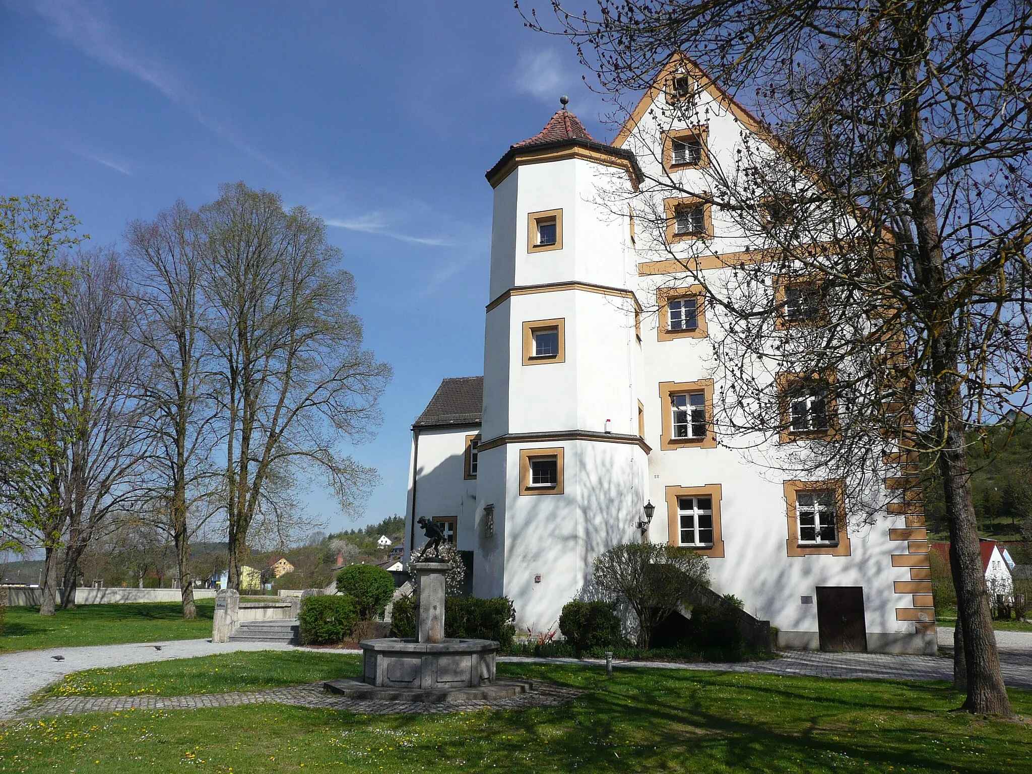
SchmidmühlenVillageLocated 12 kilometers into the route, Schmidmühlen is a charming village famous for its historic watermill. Take a moment to explore the picturesque streets and enjoy a refreshing break.
34 km
34 km
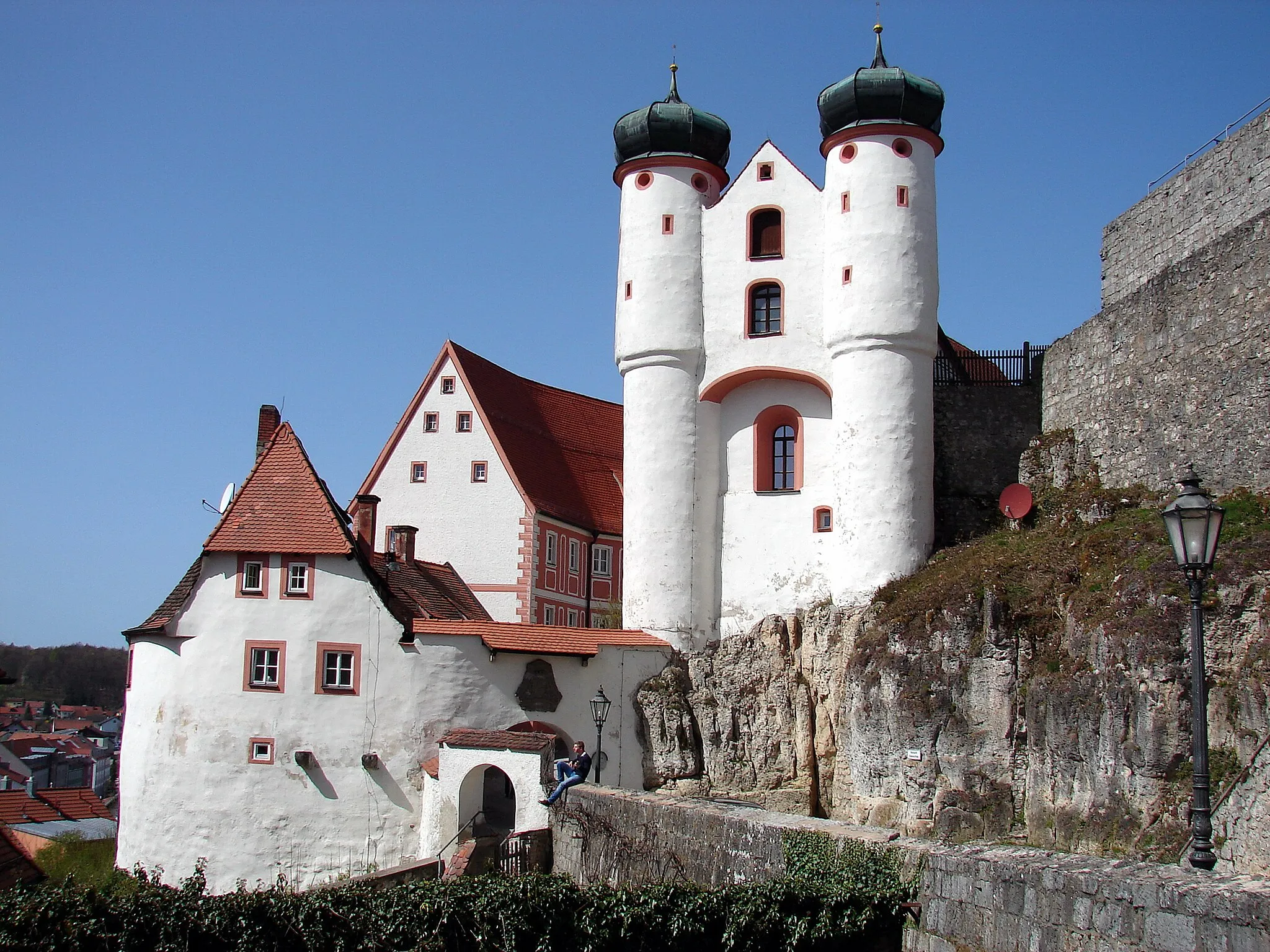
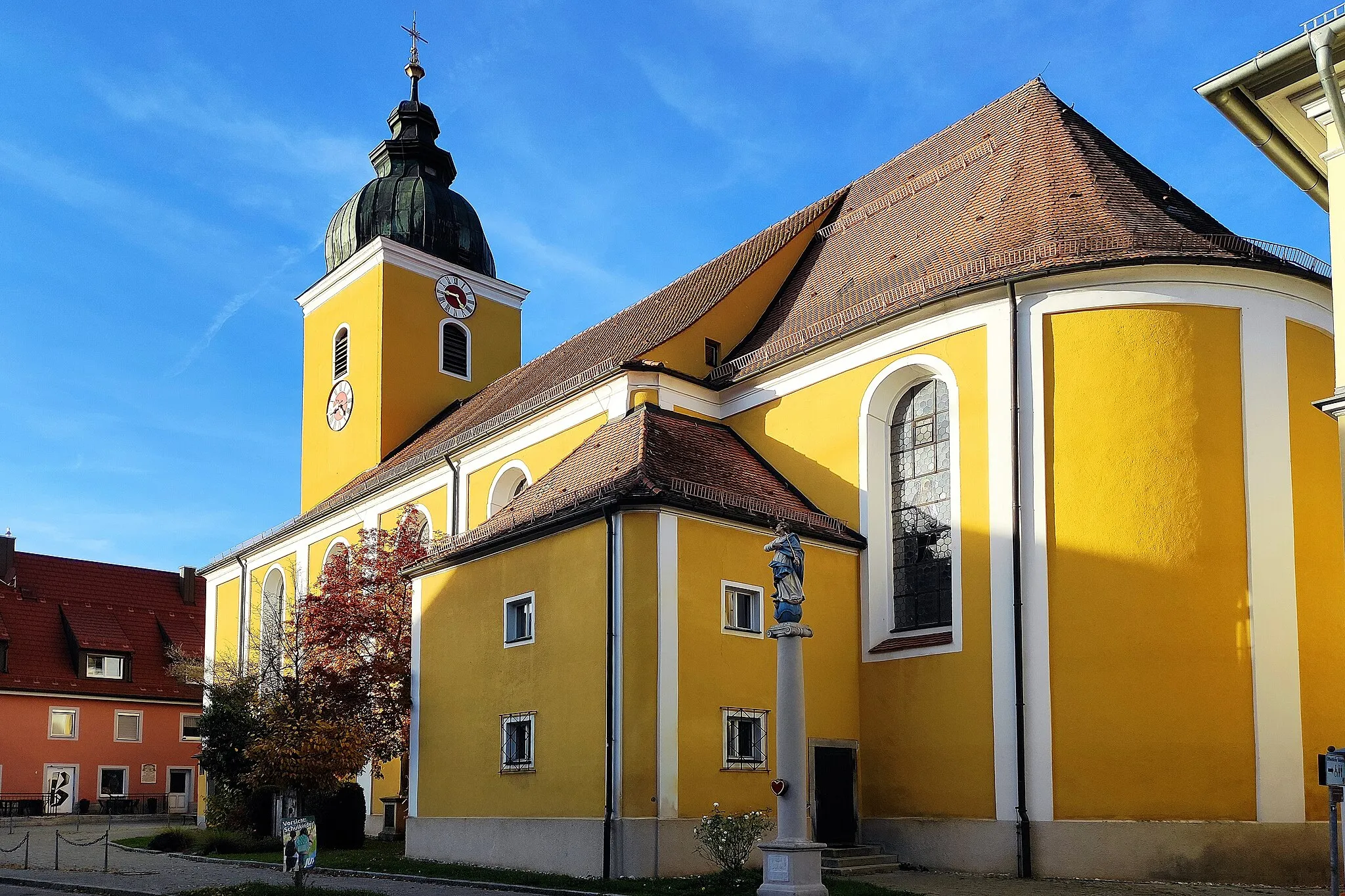
KöferingVillageAfter covering 34 kilometers, you'll pass through the quaint town of Köfering. Admire the well-preserved medieval architecture and visit the beautiful St. Anna Church.
47 km
47 km
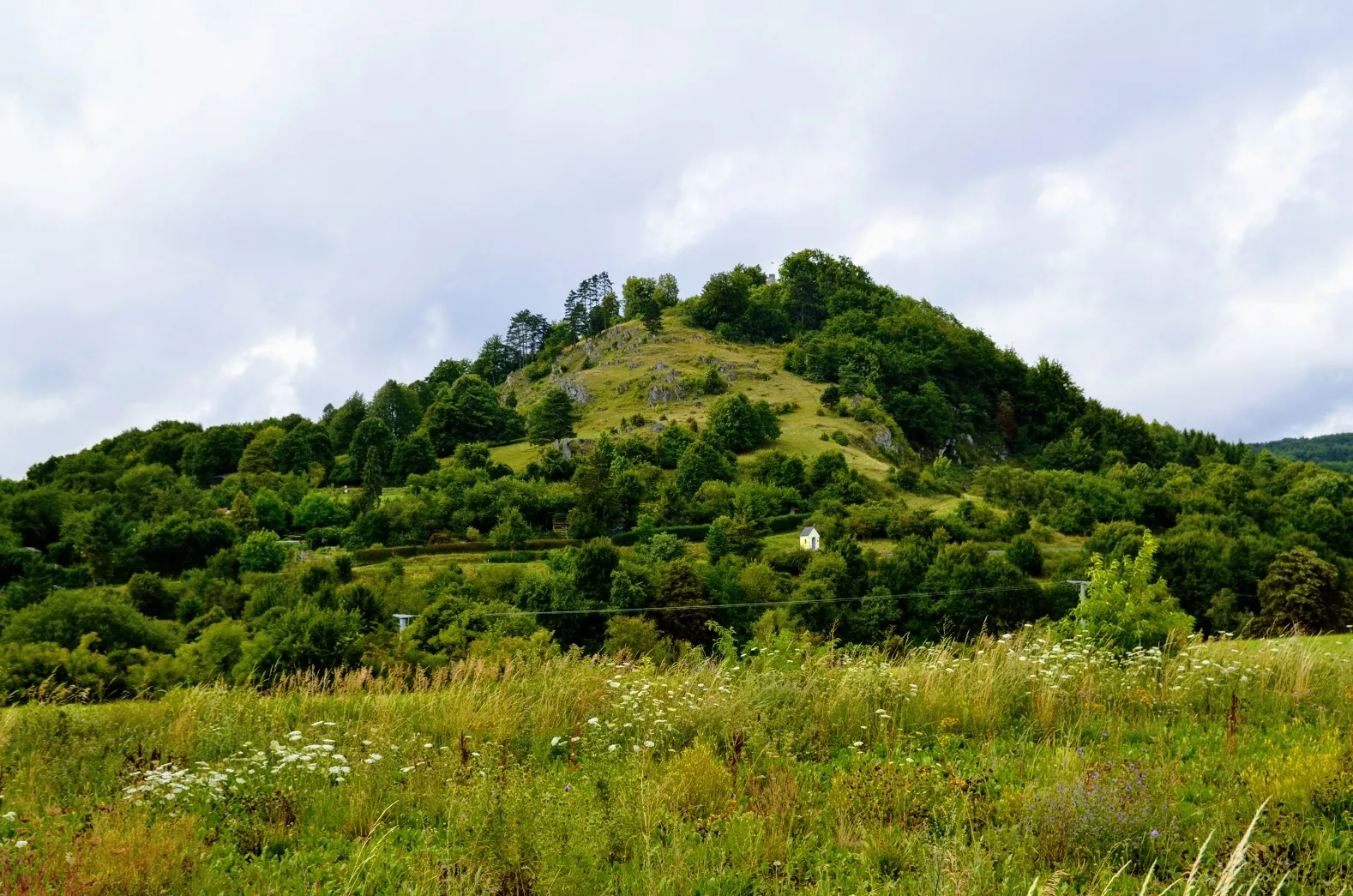
Oberer Kolmberg443 mPeakPrepare for a challenging climb at the 47-kilometer mark as you tackle Oberer Kolmberg. This steep ascent will test your climbing skills, but the breathtaking views at the top make it all worth it.
48 km
48 km
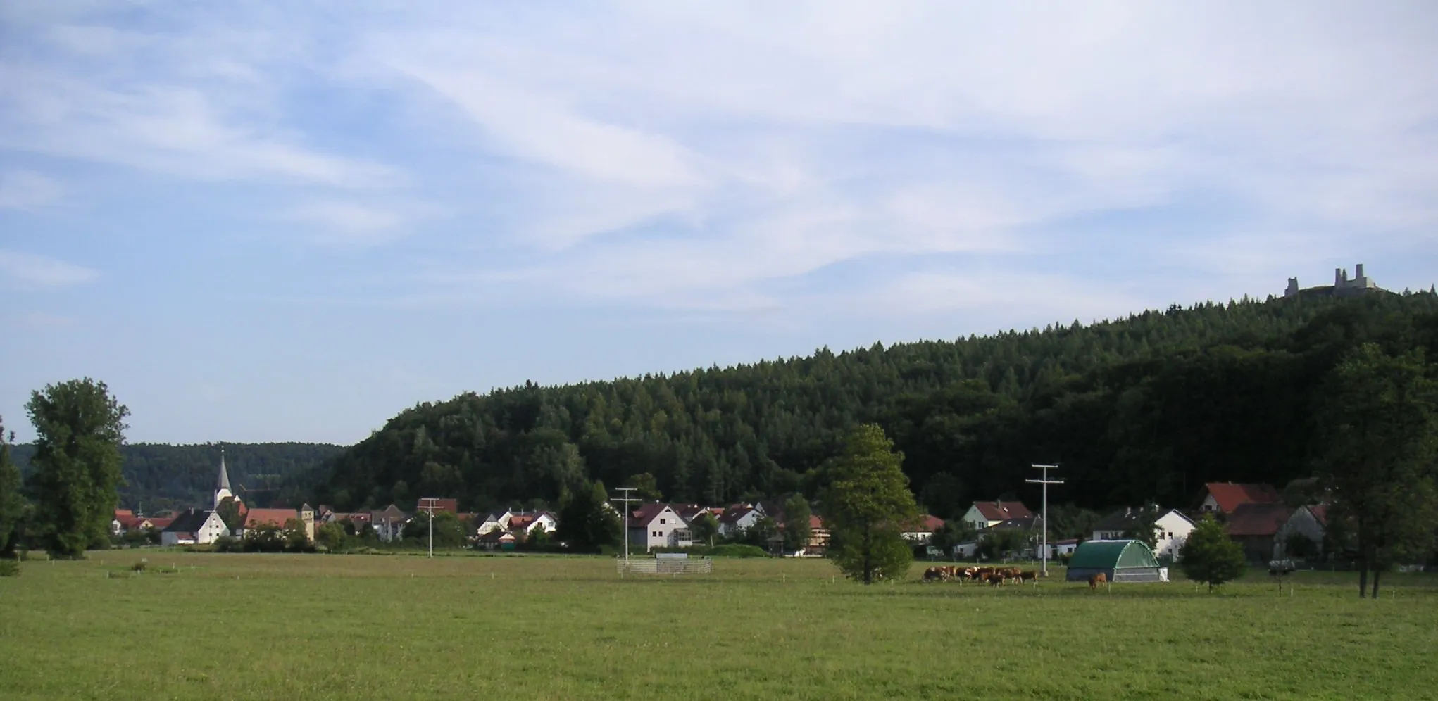
EtsdorfVillageAs you approach the 48-kilometer mark, the village of Etsdorf will captivate you with its picturesque vineyards and charming traditional houses. Take a moment to savor the peaceful ambiance and natural beauty of this scenic spot.
57 km
57 km
PittersbergVillageAt the 57-kilometer mark, you'll reach the summit of Pittersberg. Enjoy the sense of achievement as you take in the panoramic views of the Oberpfalz countryside.
75 km
75 km
PottenstettenVillagePottenstetten, located 75 kilometers into the route, is a delightful village known for its traditional Bavarian architecture. Take a break and explore the charming streets filled with half-timbered houses and small shops.
88 km
88 km
CarolinenhütteHamletAround the 88-kilometer mark, you'll pass by Carolinenhütte, a former ironworks site with historical significance. While less visually striking, it offers insights into the industrial history of the region.
95 km
95 km
Bergkreuz GmaisbergViewpointThe final highlight of the route is the Bergkreuz Gmaisberg, located 95 kilometers into the ride. This cross-shaped monument stands on the Gmaisberg hill and provides a fitting end to the challenging journey.
95 km
95 km
Finish: Hohenfels Village centerHohenfels: Cycling paradise with challenging climbs
Cycling routes from Hohenfels:
Hohenfels to Kreuzbergfelsen Gravel Adventure through the Oberpfalz Forest Rugged Gravel Tour of Oberpfalz Hohenfels Gravel Adventure Hohenfels - Carolinenhütte The Gravel Loop: Hohenfels Explorer Hohenfels - Bergkreuz Gmaisberg (Gravel) The Road Adventure: Oberpfalz Explorer Hohenfels - Bergkreuz Gmaisberg The Oberpfalz Challenge
Cycling routes nearby: