Grasanger Gravel Challenge
A gravel cycling route starting from Illschwang
Conquer the challenging Grasanger gravel climb and enjoy breathtaking views
Map
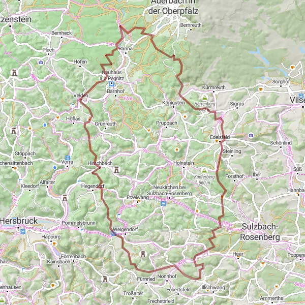
Embark on this gravel cycling route that features the challenging Grasanger climb. With an ascent of 1747 meters and a distance of 82 kilometers, it's a route recommended for experienced gravel riders seeking a challenge. The highlight of the journey is the majestic Grasanger, known for its steep incline and breathtaking views.
gravel
82 km
1747 m
Savage
Route profile
Highlights on the route
0 km
0 km
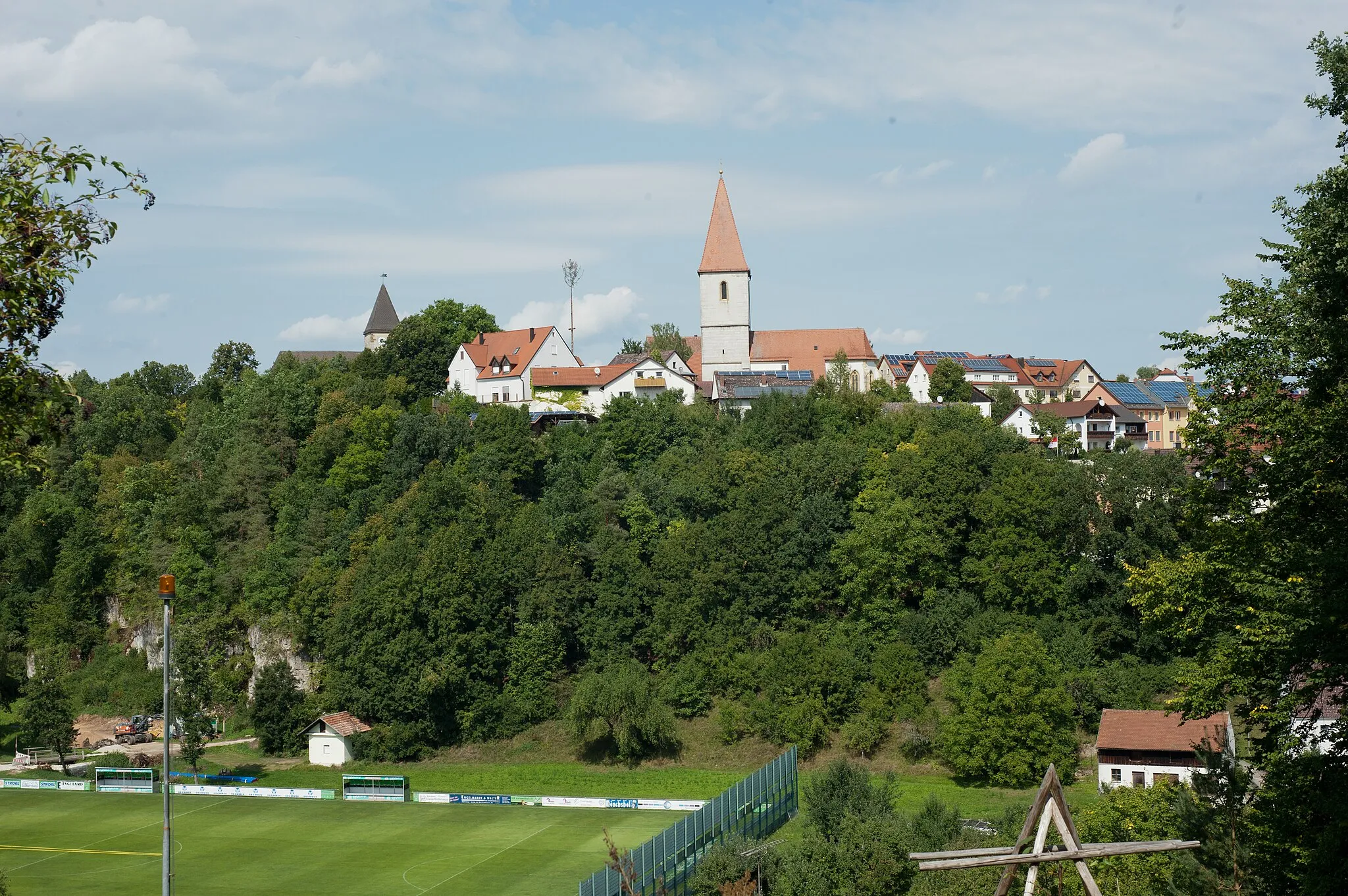
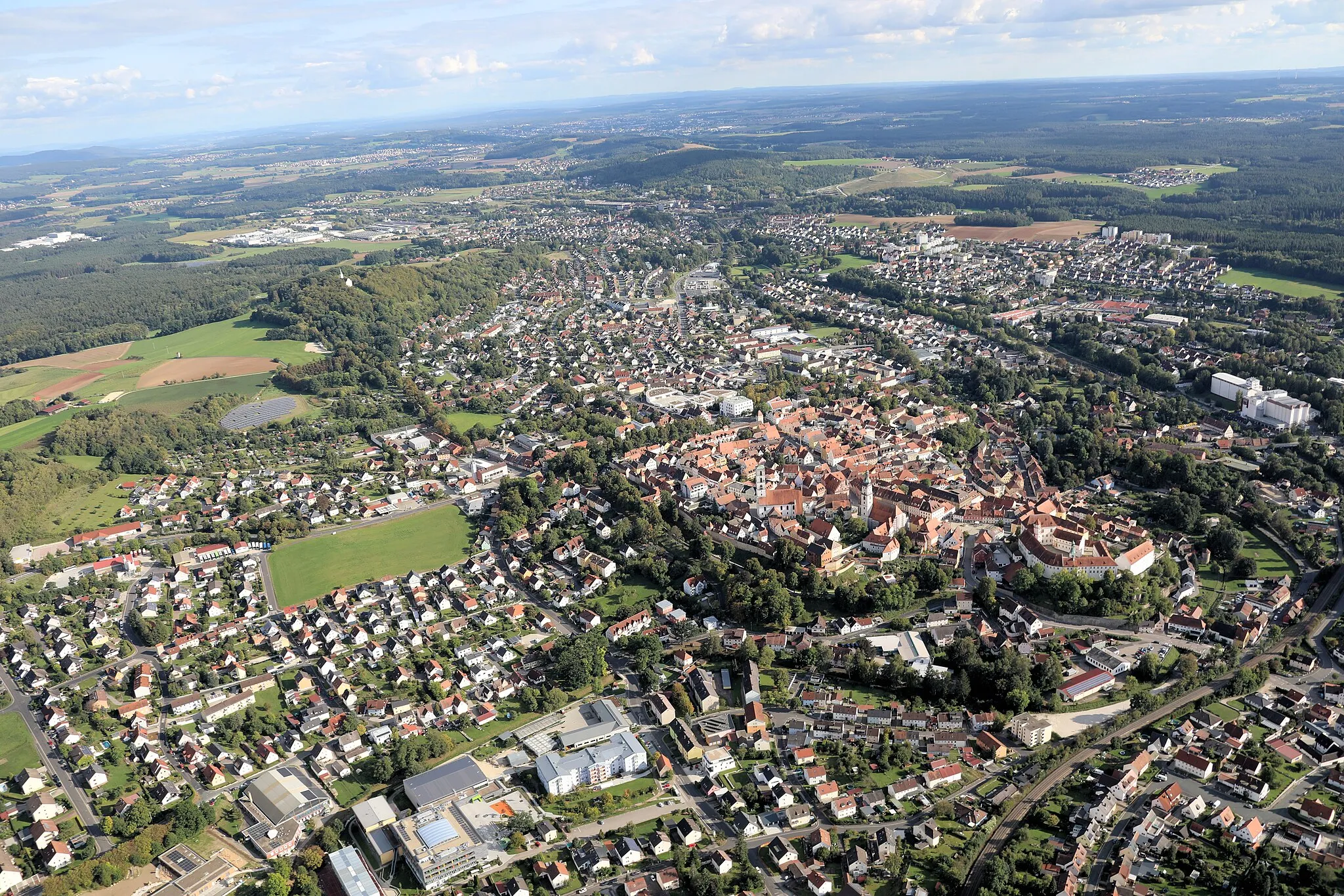
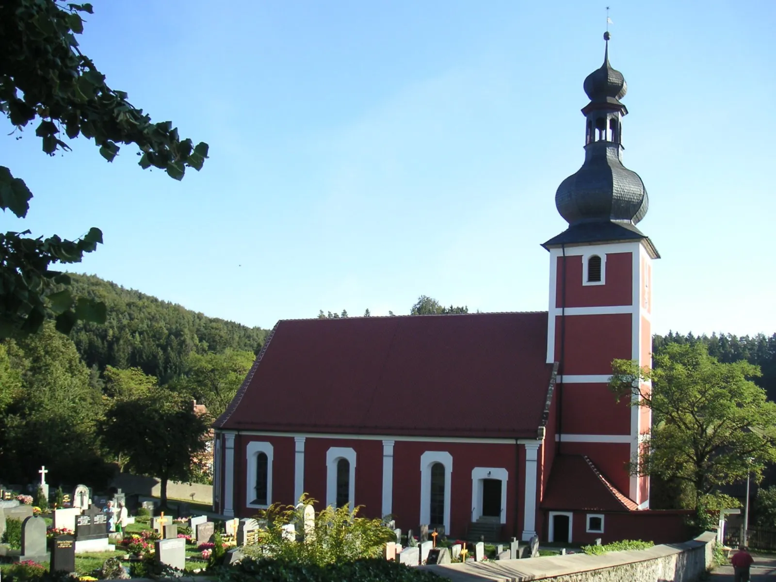
Start: Einsricht Village centerIllschwang: Cycling paradise in Oberpfalz
Illschwang is a small locality located in the state of Oberpfalz, Germany. From a cyclist's point of view, the area offers diverse cycling routes suitable for both road and gravel cyclists. The rolling hills and scenic landscapes make for enjoyable rides. Nearby, there are several well-known climbs, including the Hohenstein, which provides a challenging ascent for experienced cyclists. Overall, Illschwang is a great destination for cyclists looking to explore the beautiful countryside of Oberpfalz.5 km
5 km
Grasanger563 mPeakConquer the challenging climb up Grasanger, known for its steep incline and testing endurance.
10 km
10 km
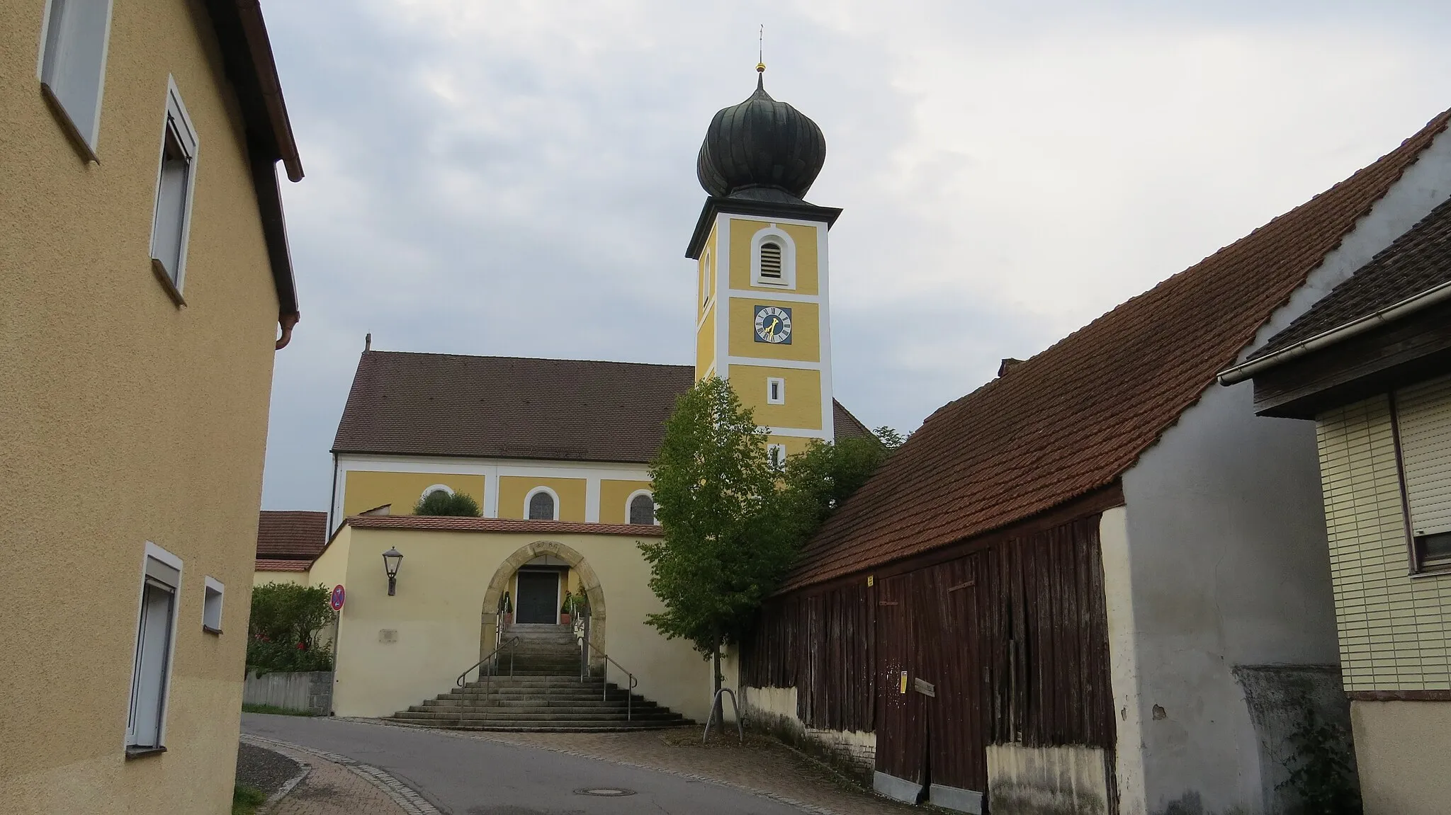
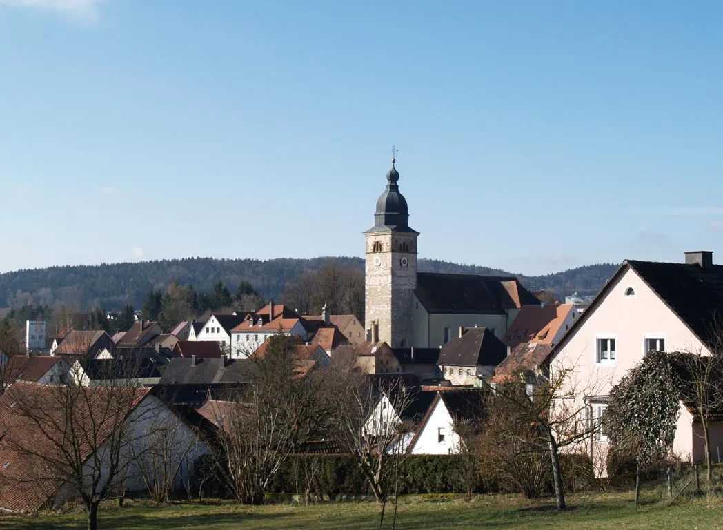
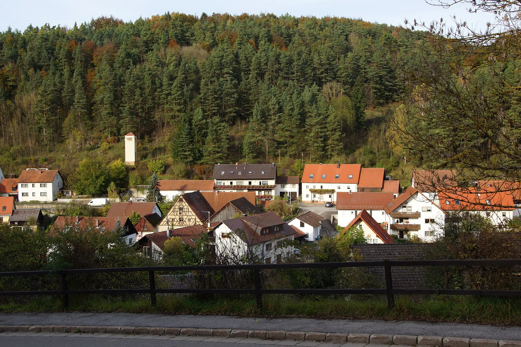
WeigendorfVillageExplore the charming village of Weigendorf and soak in the tranquil countryside atmosphere.
18 km
18 km
Rutschen591 mPeakGet your adrenaline pumping as you ride down the thrilling Rutschen slope, known for its sharp turns and exciting descents.
20 km
20 km
HirschbachVillageImmerse yourself in nature at Hirschbach, a serene spot offering tranquil hiking trails and idyllic landscapes.
31 km
31 km
Schwalbenstein472 mPeakExperience the thrill of riding through Schwalbenstein, an ancient cliffside fortress known for its historical significance and stunning views.
32 km
32 km
Neuhaus a.d.PegnitzVillagePass through the charming town of Neuhaus a.d.Pegnitz and marvel at its beautifully preserved medieval architecture.
46 km
46 km
Hohe TanneHamletRide through the captivating Hohe Tanne forest, known for its scenic beauty and tranquil atmosphere.
56 km
56 km
Kühloch580 mPeakExplore the hidden gem of Kühloch, a secluded natural area offering peaceful hiking trails and stunning scenic viewpoints.
76 km
76 km
Scheibe495 mPeakGet your legs pumping and enjoy the challenging climb up the legendary Scheibe slope, known for testing even the most experienced cyclists.
82 km
82 km
Finish: Einsricht Village centerIllschwang: Cycling paradise in Oberpfalz
Cycling routes nearby: