The Wappenstein Loop
A road cycling route starting from Mitterteich
Discover the picturesque countryside around Mitterteich on this road cycling route
Map
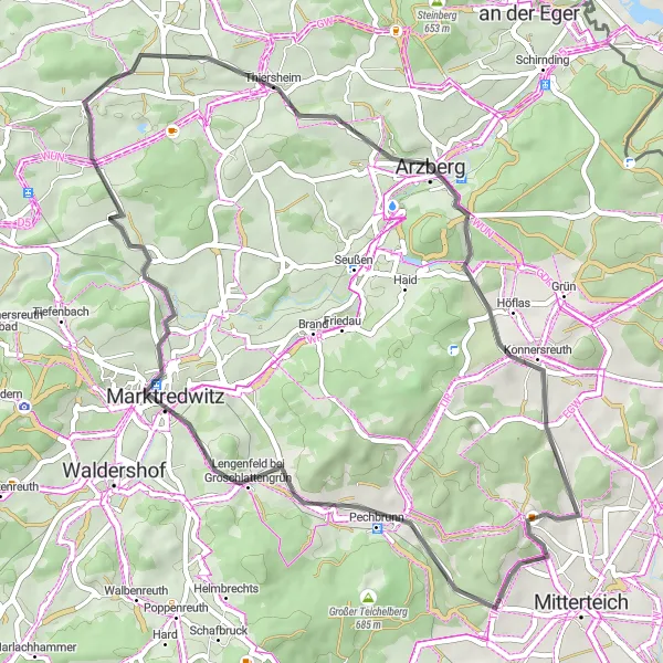
This road cycling route takes you through the beautiful countryside near Mitterteich in Oberpfalz, Germany. The route is a loop of 50 kilometers with a total ascent of 710 meters. The scenic highlights along the way include the Wappenstein at 8 kilometers, Marktredwitz at 13 kilometers, Thiersheim at 30 kilometers, Arzberg at 35 kilometers, and Streuleite at 44 kilometers.
road
50 km
710 m
Tough
Route profile
Highlights on the route
0 km
0 km
Start: Kleinbüchlberg Village centerMitterteich: Mitterteich - Discover picturesque routes and peaceful roads.
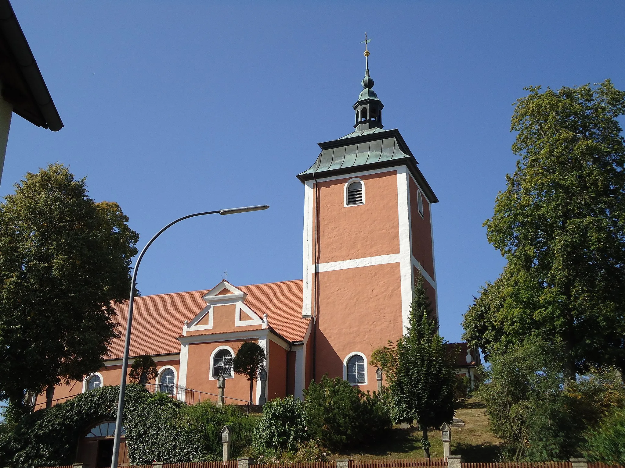
Mitterteich in Oberpfalz, Germany offers decent cycling opportunities for road and gravel cyclists. The town and its surroundings have picturesque routes and peaceful roads that can be explored by enthusiasts. While there are no famous cycling spots or well-known climbs directly in Mitterteich, the charming atmosphere and varied landscapes make it a pleasant location for cycling. Mitterteich ranks at a 3 in terms of its cycling appeal.8 km
8 km
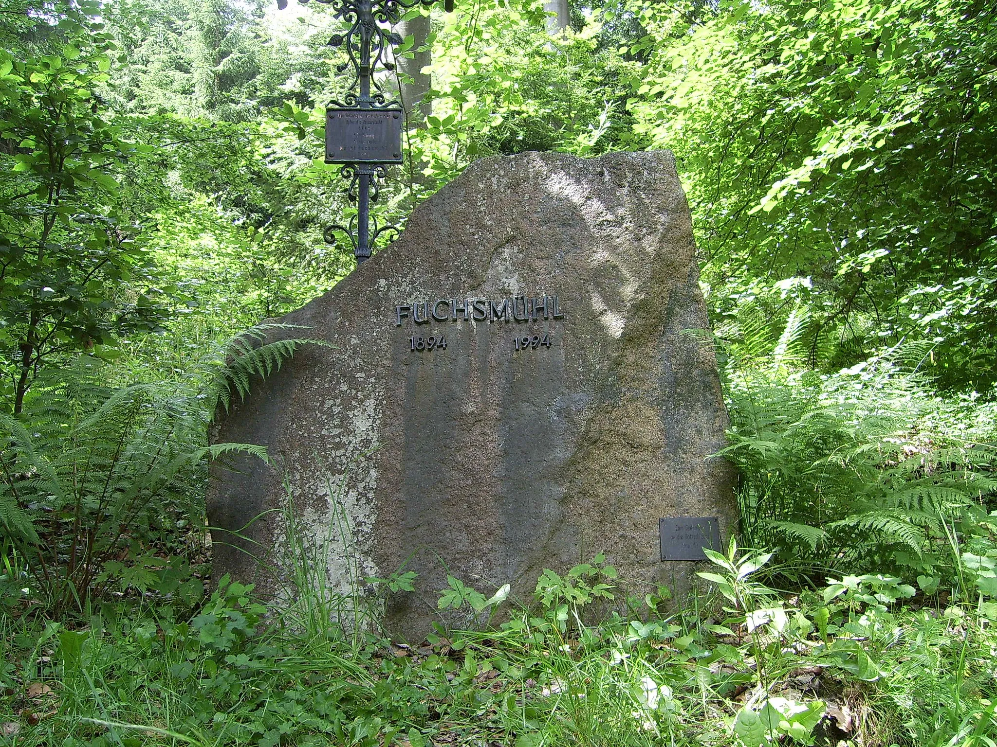
Wappenstein672 mPeakAt the 8-kilometer mark, you'll find the Wappenstein, an ancient rock monument with inscriptions dating back centuries. Take a moment to explore the history and enjoy the peaceful surroundings.
13 km
13 km
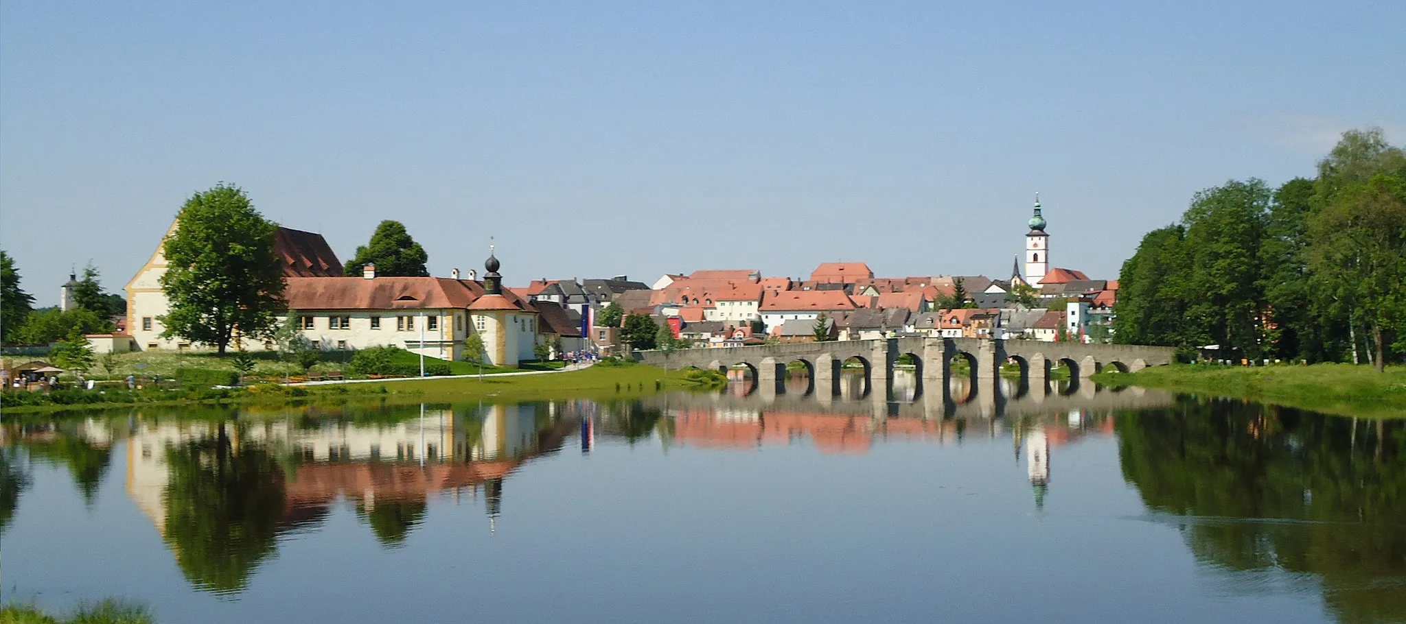
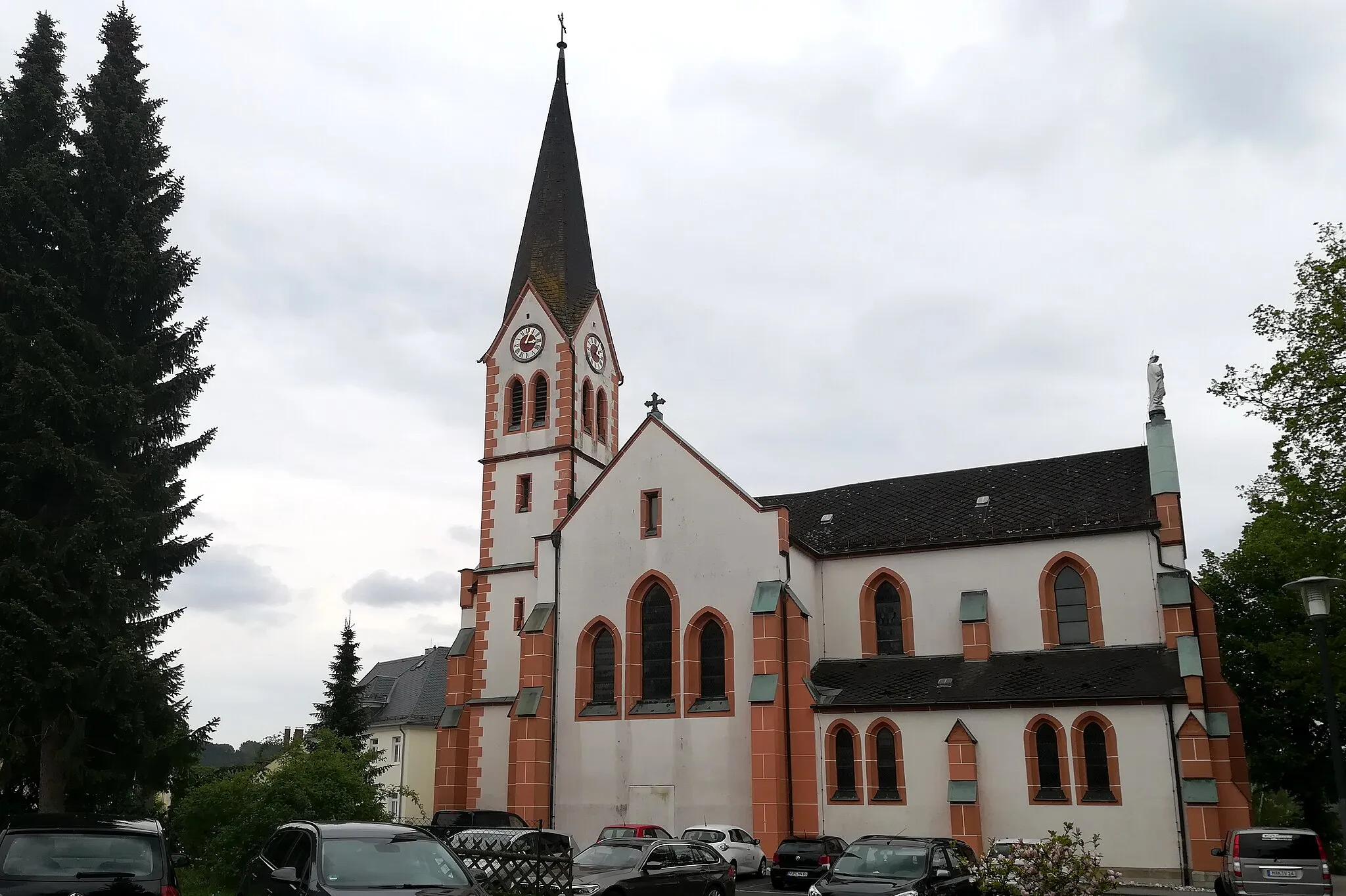
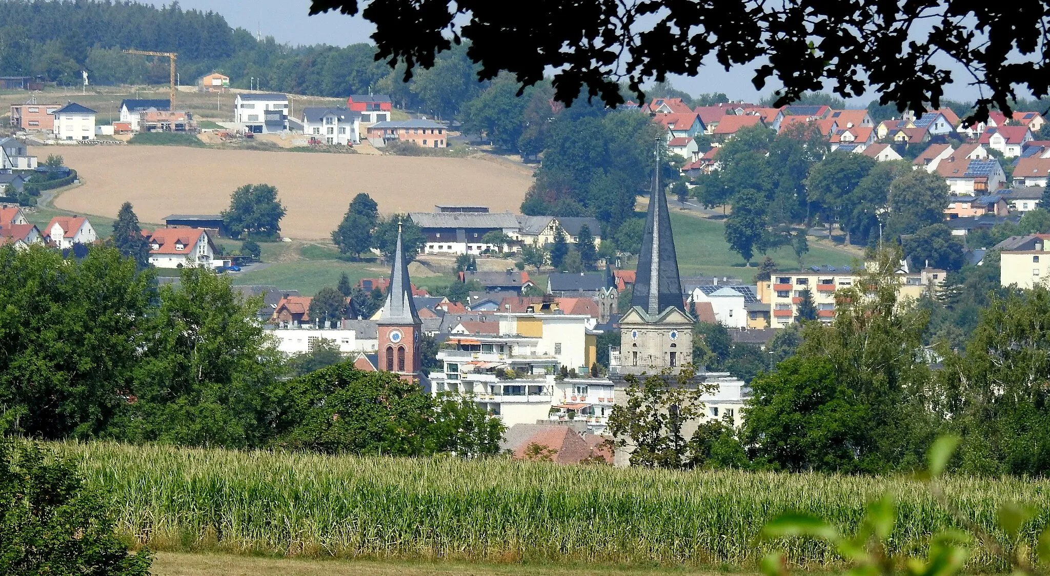
MarktredwitzTownPass through the charming town of Marktredwitz at the 13-kilometer mark. Take a break and explore its historic buildings, local shops, and cafes.
30 km
30 km
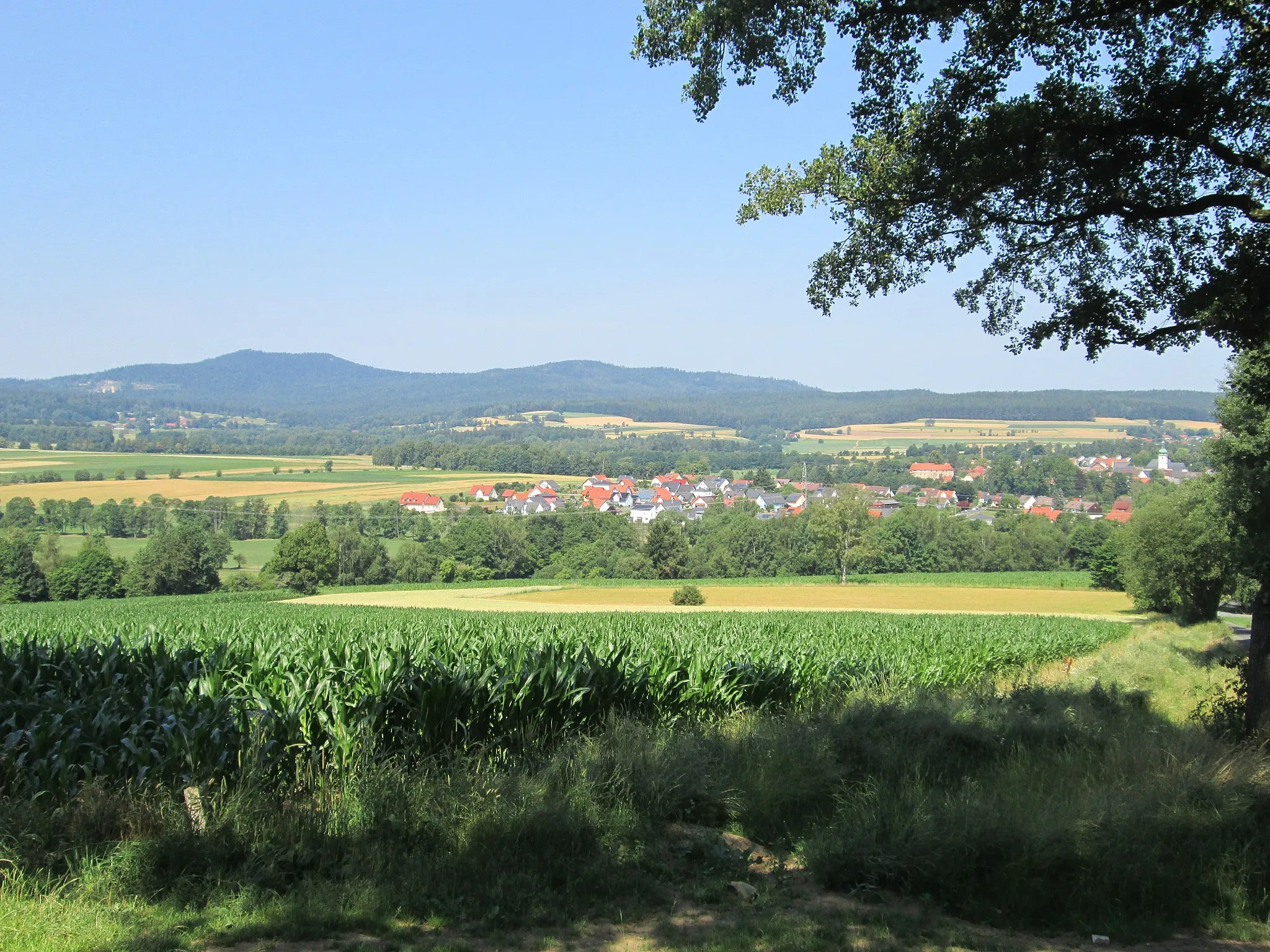
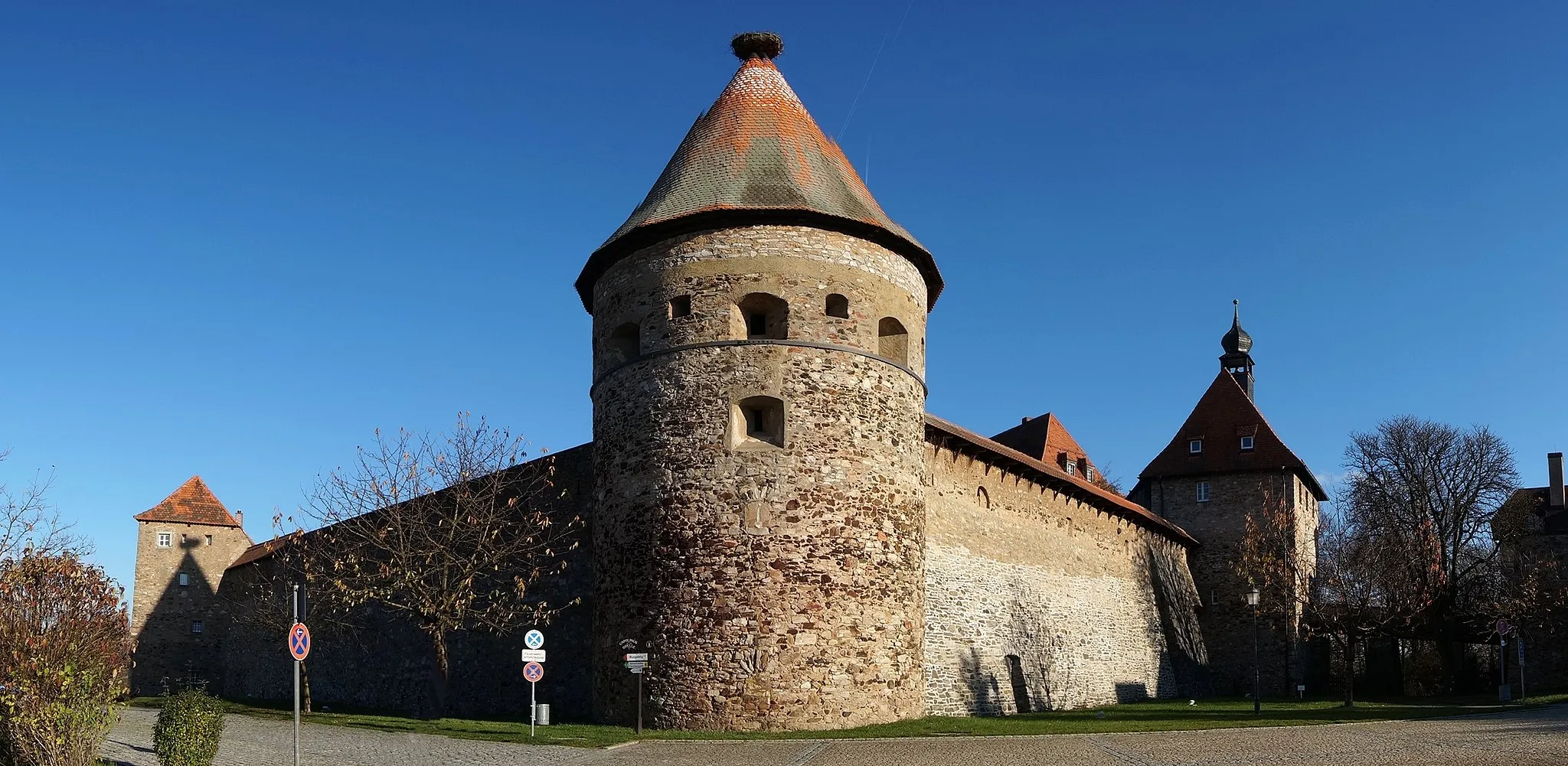
ThiersheimVillageArriving at Thiersheim at the 30-kilometer mark, you'll be greeted by its well-preserved castle and charming streets. Enjoy the picturesque views of this quaint town.
35 km
35 km
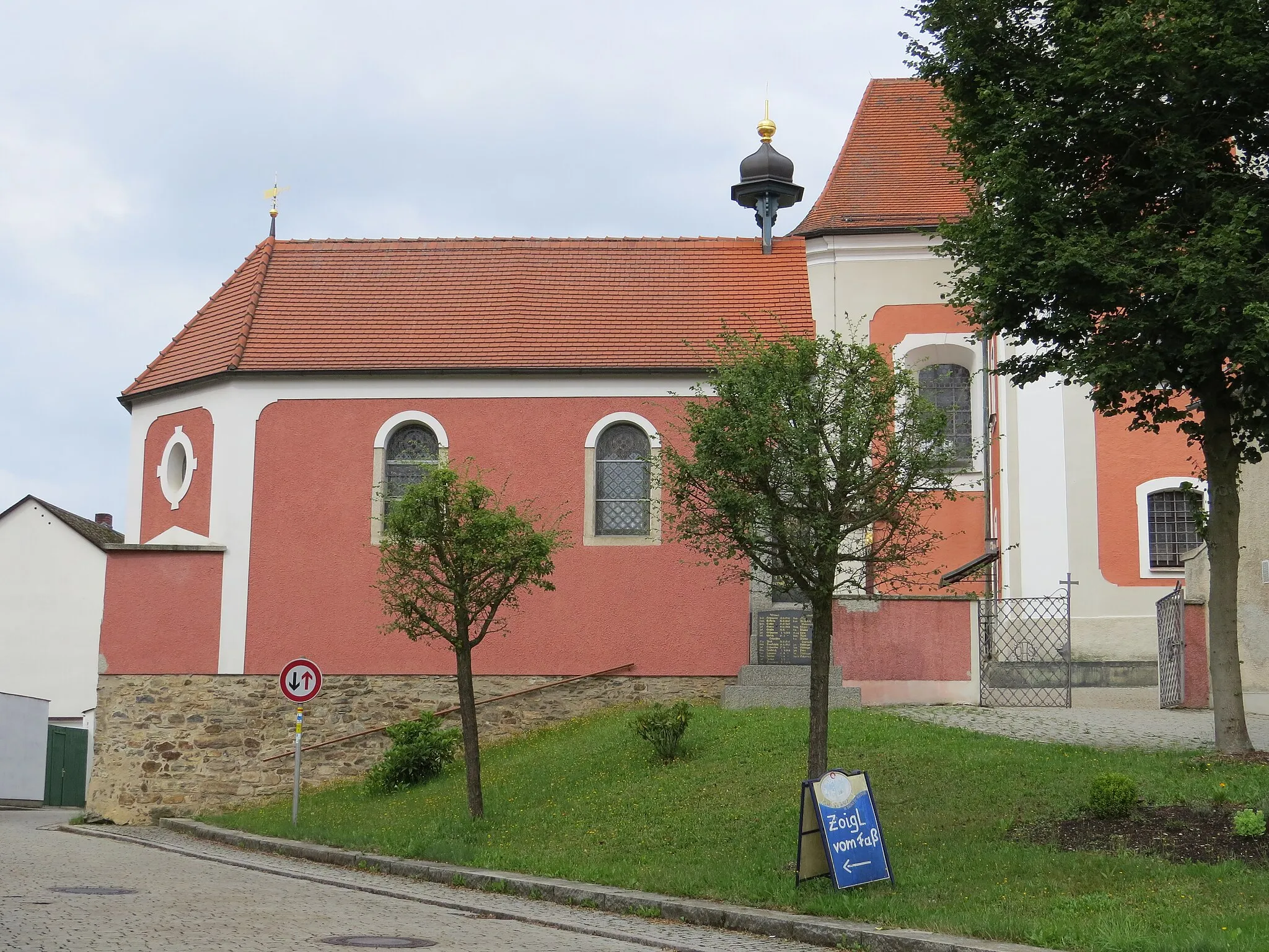
ArzbergTownArzberg, located at the 35-kilometer mark, is known for its fine porcelain. Stop by one of the local shops and admire the craftsmanship before continuing on your journey.
44 km
44 km
Streuleite582 mPeakAt the 44-kilometer mark, you'll reach Streuleite, a nature reserve known for its unique rock formations. Take a moment to appreciate the natural beauty of this area.
50 km
50 km
Finish: Kleinbüchlberg Village centerMitterteich: Mitterteich - Discover picturesque routes and peaceful roads.
Cycling routes from Mitterteich:
Cycling routes nearby: