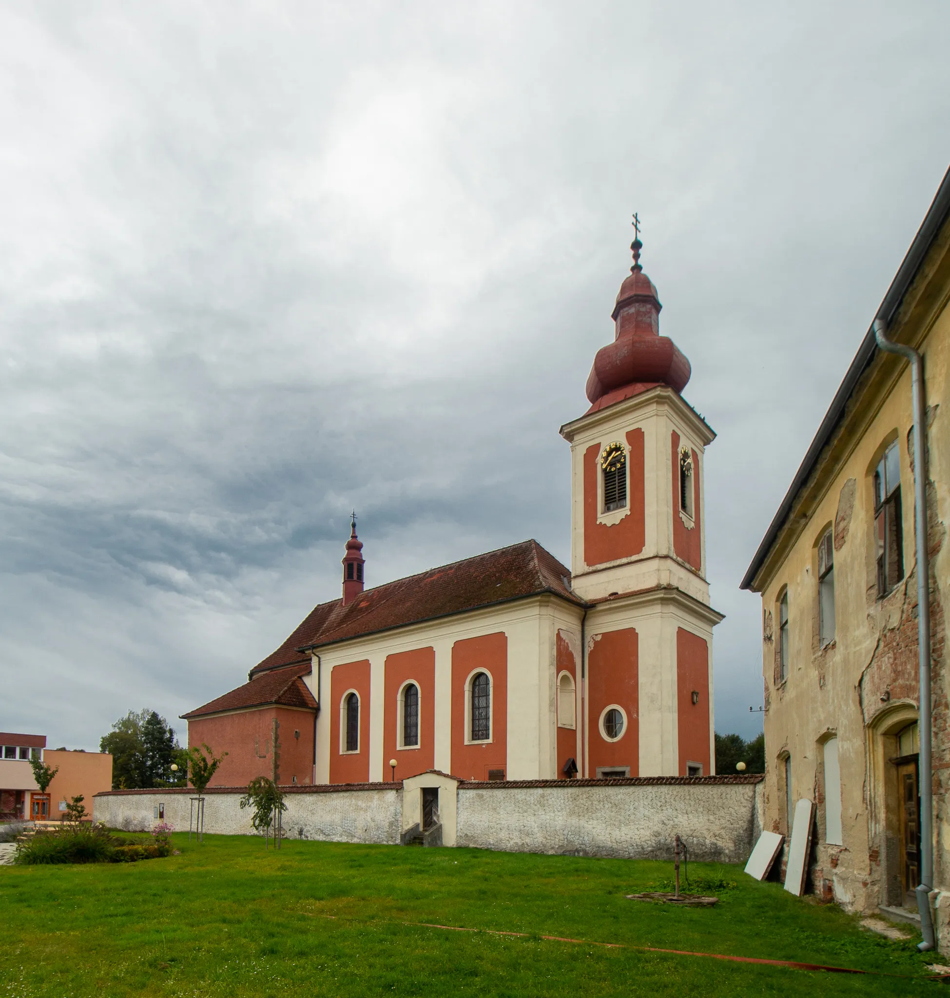
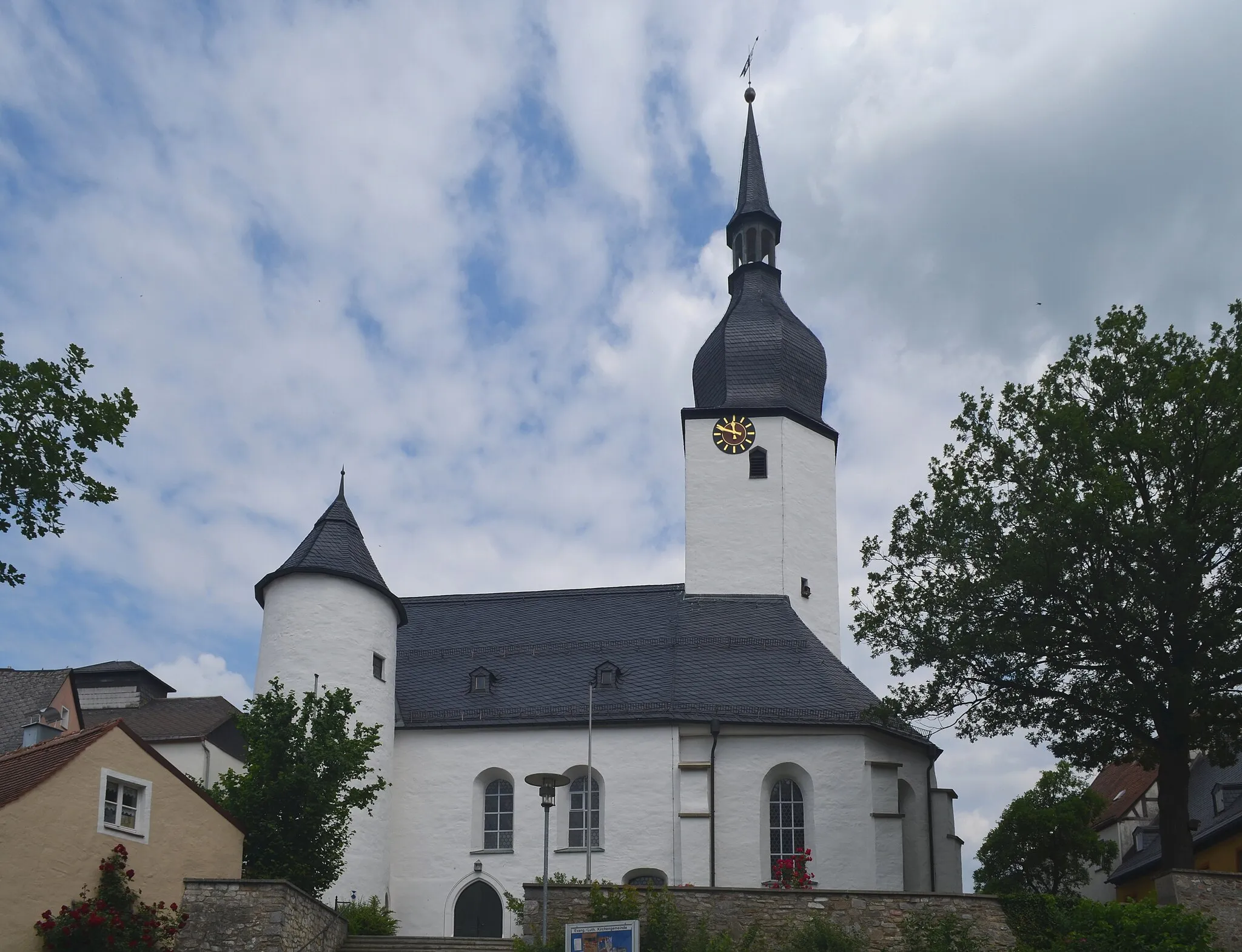
Discover endless vineyards and tackle challenging climbs in the picturesque locality of Hohenberg an der Eger.
Cycling routes from Hohenberg an der Eger
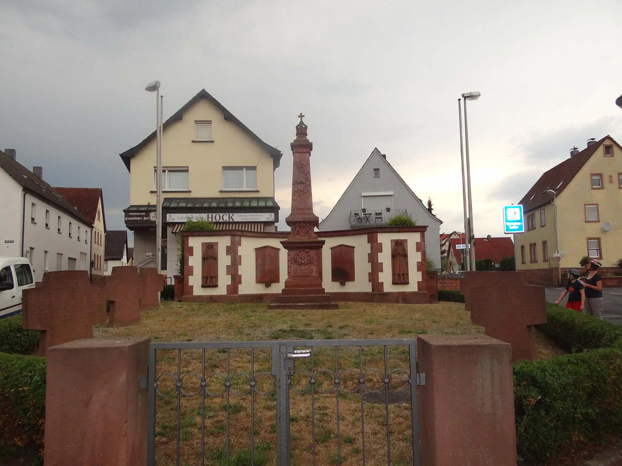
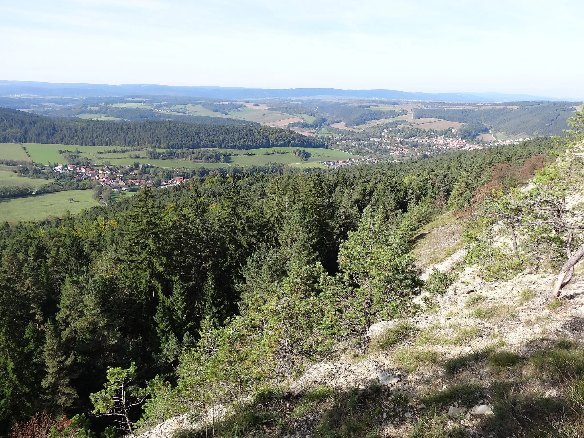
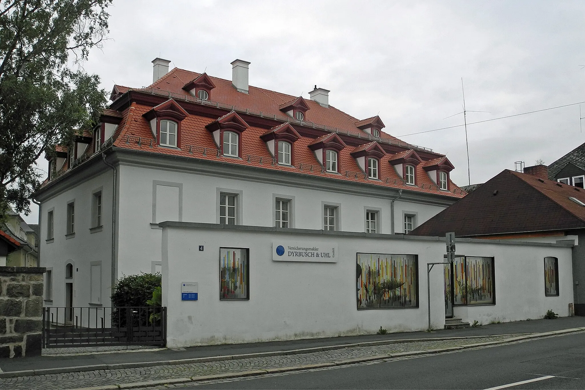
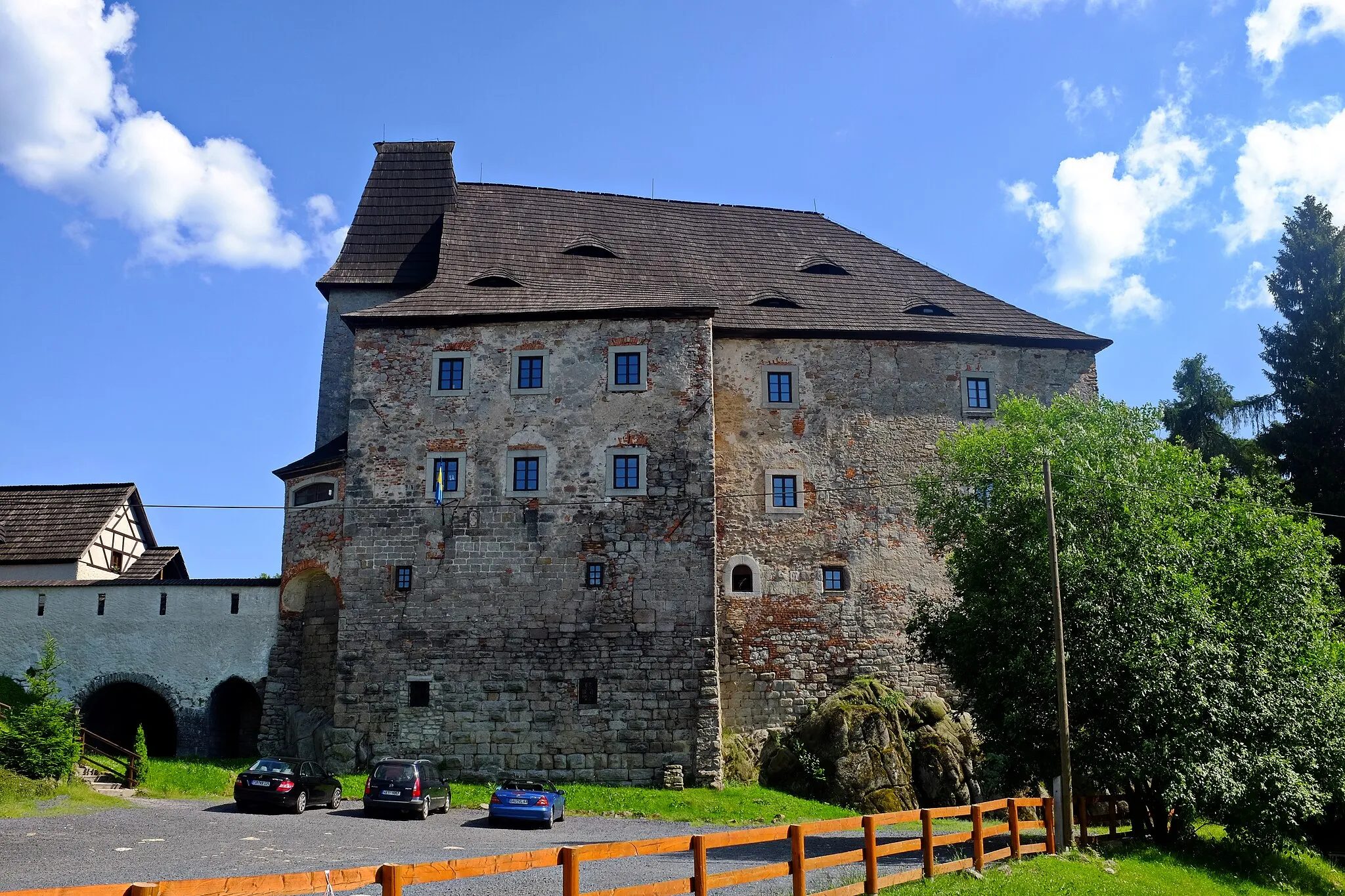
Hohenberg an der Eger is a cycling-friendly locality situated in the Oberfranken region of Germany. This area is known for its rolling hills and vast vineyards, making it a perfect destination for road cyclists looking for challenging climbs and scenic landscapes. The well-marked routes around Hohenberg provide opportunities for both long-distance rides and shorter loops. A well-known cycling spot nearby is the Ochsenkopf, a popular mountain with various routes suitable for both road and gravel cyclists. Hohenberg an der Eger is a dream come true for cycling enthusiasts who love both nature and wine culture.
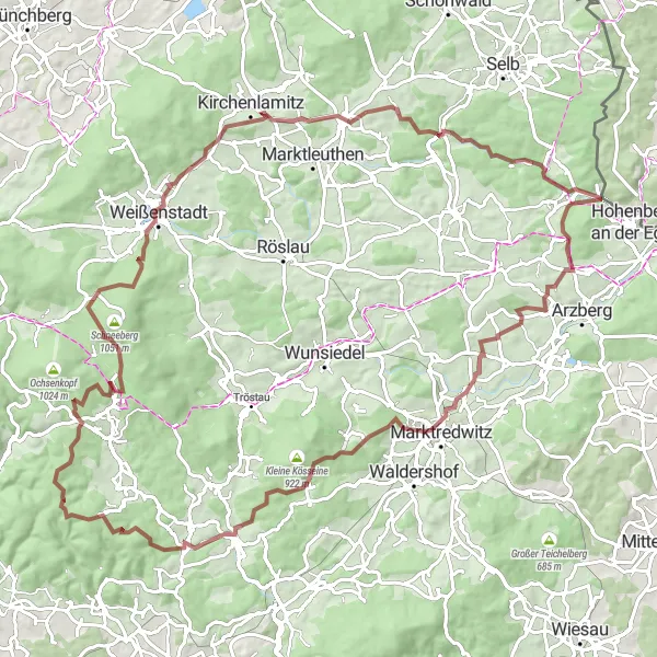
Hohenberg Gravel Circuit
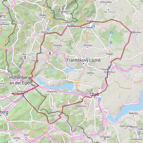
A thrilling gravel route exploring the beautiful countryside near Hohenberg an der Eger
This gravel circuit offers riders a thrilling adventure through the stunning countryside near Hohenberg an der Eger. With a total distance of 59 kilometers and an ascent of 637 meters, this route is suitable for both intermediate and advanced riders. The highlights along the route include Hazlov, Skalná, Hvězdárna, Cheb, Bismarckova rozhledna, and Schirnding - each offering unique attractions to explore. Overall, this gravel circuit provides a distinct and enjoyable cycling experience.
Cycle through the picturesque landscapes of the Fichtel Mountains and enjoy breathtaking panoramic views
This road-based cycling route takes you on a scenic journey through the enchanting Fichtel Mountains. Starting near Hohenberg an der Eger, the route passes appealing highlights such as Preisberg, Pechbrunn, and Kulmain, offering stunning views of the surrounding countryside. As you venture further, the route leads you to Kornberg and Tröstau, known for their idyllic setting and tranquil atmosphere. The final stop of Thiersheim provides a cozy ambiance with its historic buildings and charming town center. Overall, this route promises an immersive experience in the natural beauty of the Fichtel Mountains, capturing the essence of serenity and peacefulness.
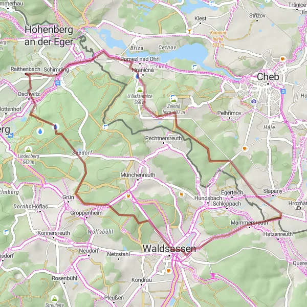
Explore the scenic gravel paths of Mitterteich and its surroundings
Discover the beauty of the Mitterteich region on this 62-kilometer gravel adventure. With rolling hills, forested trails, and intriguing cultural highlights, this route promises an exciting and immersive cycling experience.
A scenic road route passing through historic towns and offering breathtaking views of the surrounding countryside
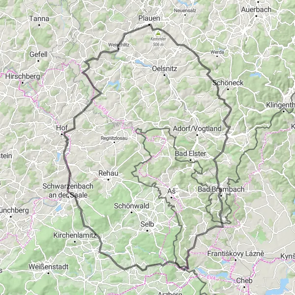
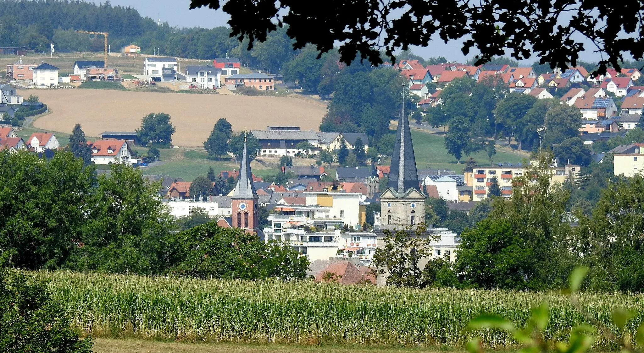
This road-based cycling route takes you through picturesque villages and offers stunning views of the charming Oberfranken region. Starting near Hohenberg an der Eger, the route passes notable highlights such as Thierstein, Lenker, and Schwarzenbach an der Saale before reaching the city of Hof. From Hof, the route continues through Wachthübel, Kienberg, and Plauen, taking you deep into the beautiful landscape. The final stop before reaching the destination of Markneukirchen is Bad Brambach, known for its soothing thermal baths. Overall, this route provides an immersive experience of the region's history, culture, and natural beauty.
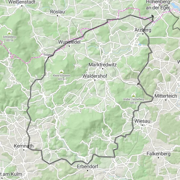
Embark on a challenging road cycling tour, conquering numerous hills near Hohenberg an der Eger
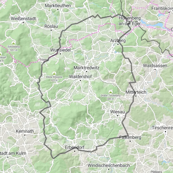
Get ready for a challenging road cycling tour near Hohenberg an der Eger. This 113-kilometer route features several steep ascents and descents, with an elevation gain of 1663 meters. With highlights including Arzberg, Streuleite, Falkenberg, Geißbühl, Krummennaab, Kusch, Neusorg im Fichtelgebirge, Aussichtsplattform, Mallerberg, Thierstein, and Stráně, this tour offers plenty of diversity for cyclists seeking a challenging adventure.
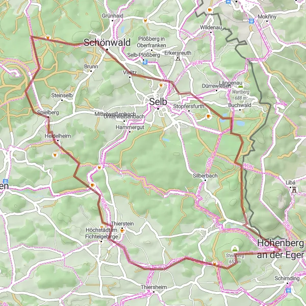
Hohenberg an der Eger Loop
A scenic loop starting from Hohenberg an der Eger
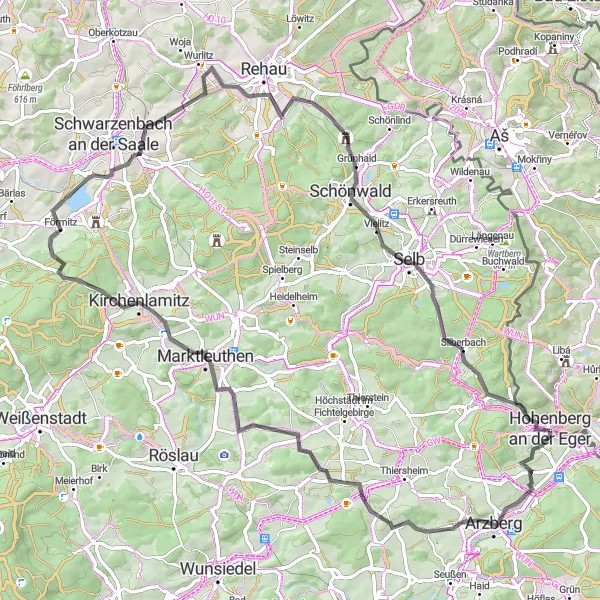
This route takes you on a beautiful cycling journey starting from Hohenberg an der Eger. With a total distance of 79 kilometers and an ascent of 1134 meters, it is suitable for amateur cyclists who are looking for a moderately challenging ride. The route features several highlights along the way, including the Aussichtsturm Wartberg and the Bibersberg. Explore the charming towns of Marktleuthen and Schnittlein as you make your way through picturesque countryside. The Rosenbühl and Schönwald offer breathtaking views, while the Stráně will leave a lasting impression.
Hohenberg Road Adventure
An exhilarating road cycling adventure with stunning scenic routes near Hohenberg an der Eger
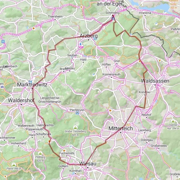
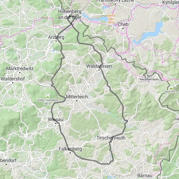
Embark on an exhilarating road cycling adventure near Hohenberg an der Eger. This 86-kilometer route with an ascent of 1158 meters offers scenic countryside views and exciting challenges for riders. Highlights along the route include Dietzenberg, Waldsassen, Fischkasten, Tirschenreuth, Hellebarden, Wiesau, Preisberg, and Arzberg, each offering unique attractions and sights to explore. With a moderate difficulty level, this road adventure is perfect for well-trained amateur cyclists seeking a memorable experience.
Embark on an epic gravel adventure starting from Marktredwitz
Prepare for an exhilarating cycling adventure through stunning landscapes with this 99-kilometer long gravel route starting from Marktredwitz. With a challenging ascent of 1631 meters, this route is suitable for well-trained amateur cyclists seeking a thrilling off-road experience. Along the way, you'll encounter several highlights including the Kohlberg and Hirschensprung. Explore the picturesque town of Marktredwitz and marvel at the beauty of Nußhardt and Schwarzenhammer. With its epicness and varied highlights, this route guarantees an unforgettable cycling experience.
Schirnding Gravel Loop
A scenic gravel loop starting from Schirnding
Enjoy a thrilling gravel adventure with this 38-kilometer long route starting from Schirnding. Suitable for amateur gravel cyclists, the route offers an ascent of 596 meters and takes you through picturesque landscapes. Marvel at the Bismarckova rozhledna and explore the beautiful forests of Waldsassen. With its moderate difficulty and scenic highlights, this route is perfect for those looking for an exciting off-road cycling experience.
The Gravel Adventure
Embark on an adventurous gravel ride through beautiful landscapes near Hohenberg an der Eger
Get your adrenaline pumping on this thrilling gravel ride through the beautiful landscapes near Hohenberg an der Eger. With a distance of 50 kilometers and an ascent of 778 meters, this route offers a mix of challenging terrain and breathtaking scenery. Highlights along the way include Steinberg, Thierstein, Rabenberg, Schönwald, and Mezný vrch, each providing unique experiences for gravel enthusiasts. Prepare for an epic adventure with this exhilarating cycling route.
Cycling routes nearby:

Nearby regions: