Schirnding Gravel Loop
A gravel cycling route starting from Hohenberg an der Eger
A scenic gravel loop starting from Schirnding
Map
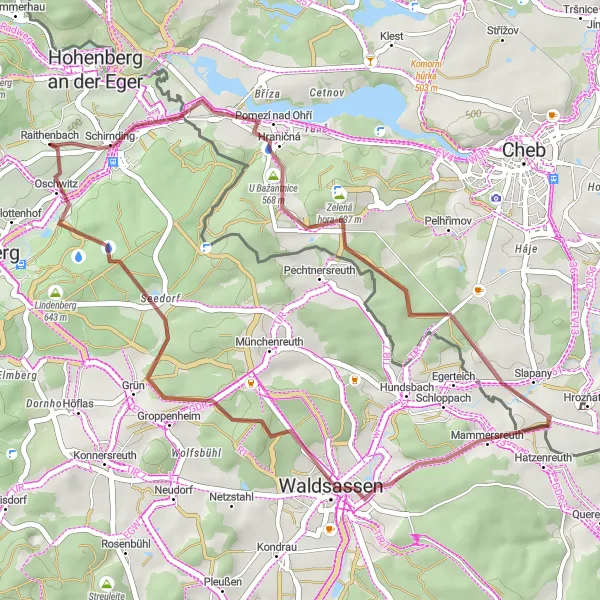
Enjoy a thrilling gravel adventure with this 38-kilometer long route starting from Schirnding. Suitable for amateur gravel cyclists, the route offers an ascent of 596 meters and takes you through picturesque landscapes. Marvel at the Bismarckova rozhledna and explore the beautiful forests of Waldsassen. With its moderate difficulty and scenic highlights, this route is perfect for those looking for an exciting off-road cycling experience.
gravel
38 km
596 m
Chill
Route profile
Highlights on the route
0 km
0 km
Start: Raithenbach Village centerHohenberg an der Eger: Discover endless vineyards and tackle challenging climbs in the picturesque locality of Hohenberg an der Eger.
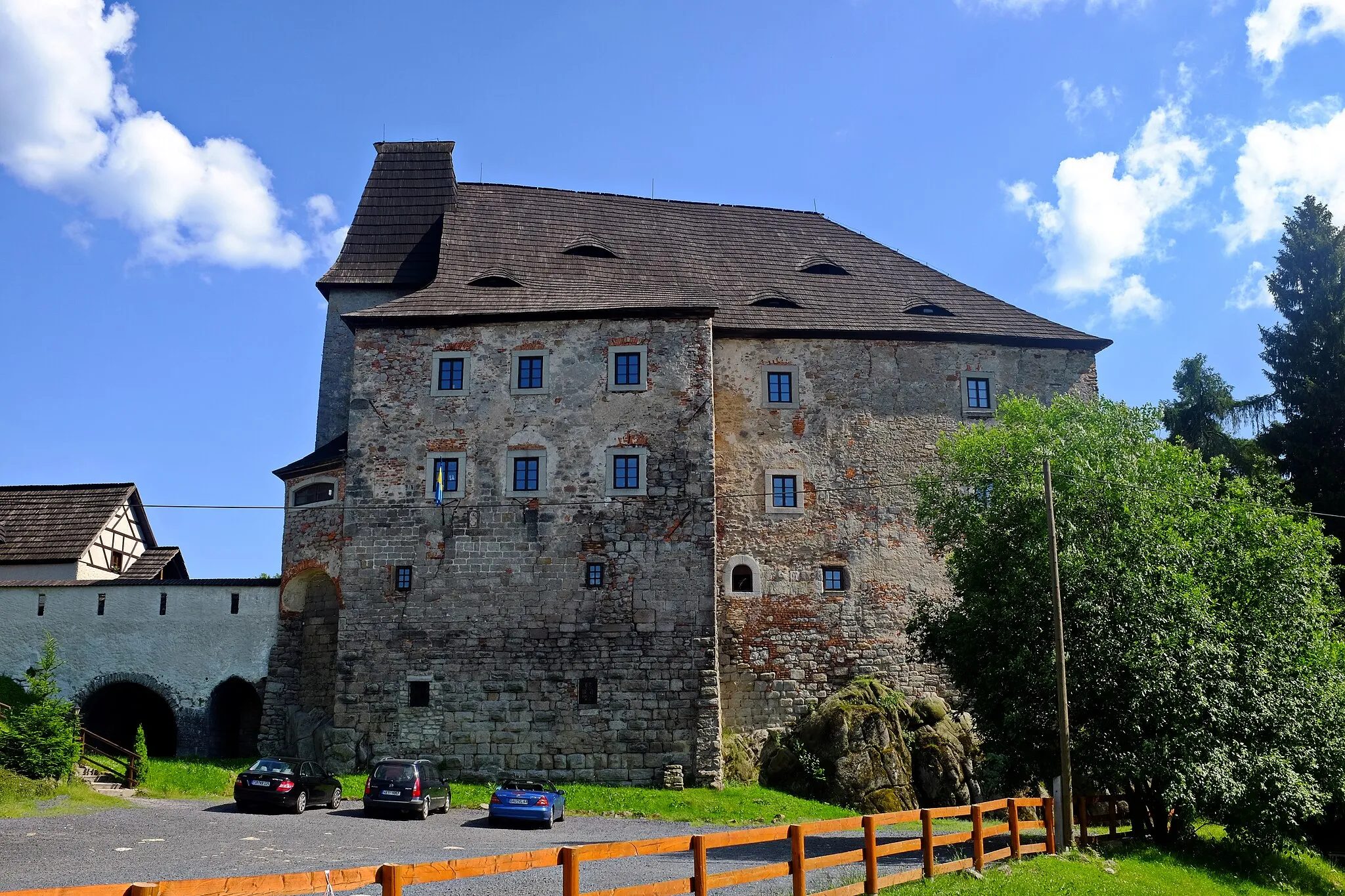
Hohenberg an der Eger is a cycling-friendly locality situated in the Oberfranken region of Germany. This area is known for its rolling hills and vast vineyards, making it a perfect destination for road cyclists looking for challenging climbs and scenic landscapes. The well-marked routes around Hohenberg provide opportunities for both long-distance rides and shorter loops. A well-known cycling spot nearby is the Ochsenkopf, a popular mountain with various routes suitable for both road and gravel cyclists. Hohenberg an der Eger is a dream come true for cycling enthusiasts who love both nature and wine culture.1 km
1 km
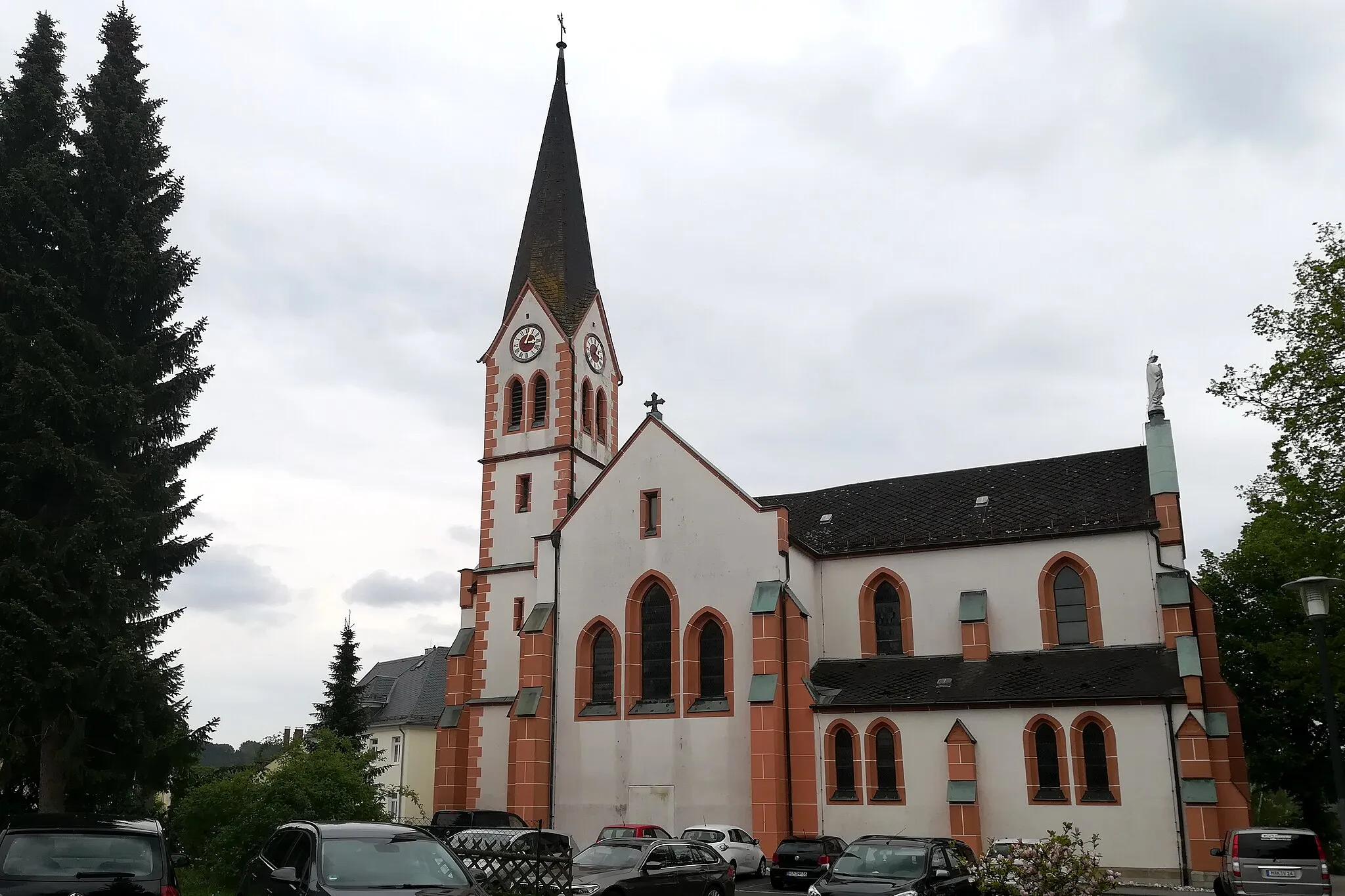
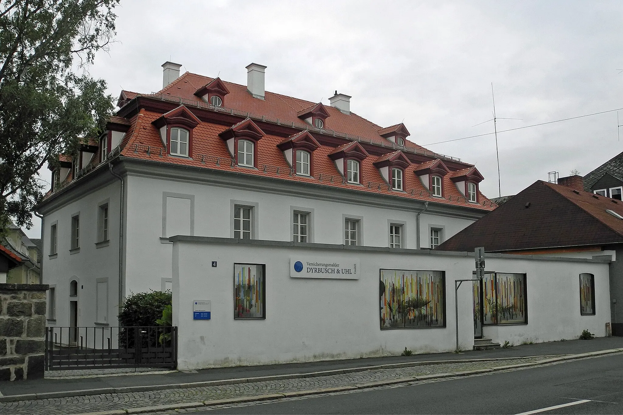
SchirndingVillageSchirnding is a Bavarian town known for its traditional architecture and hospitality.
10 km
10 km
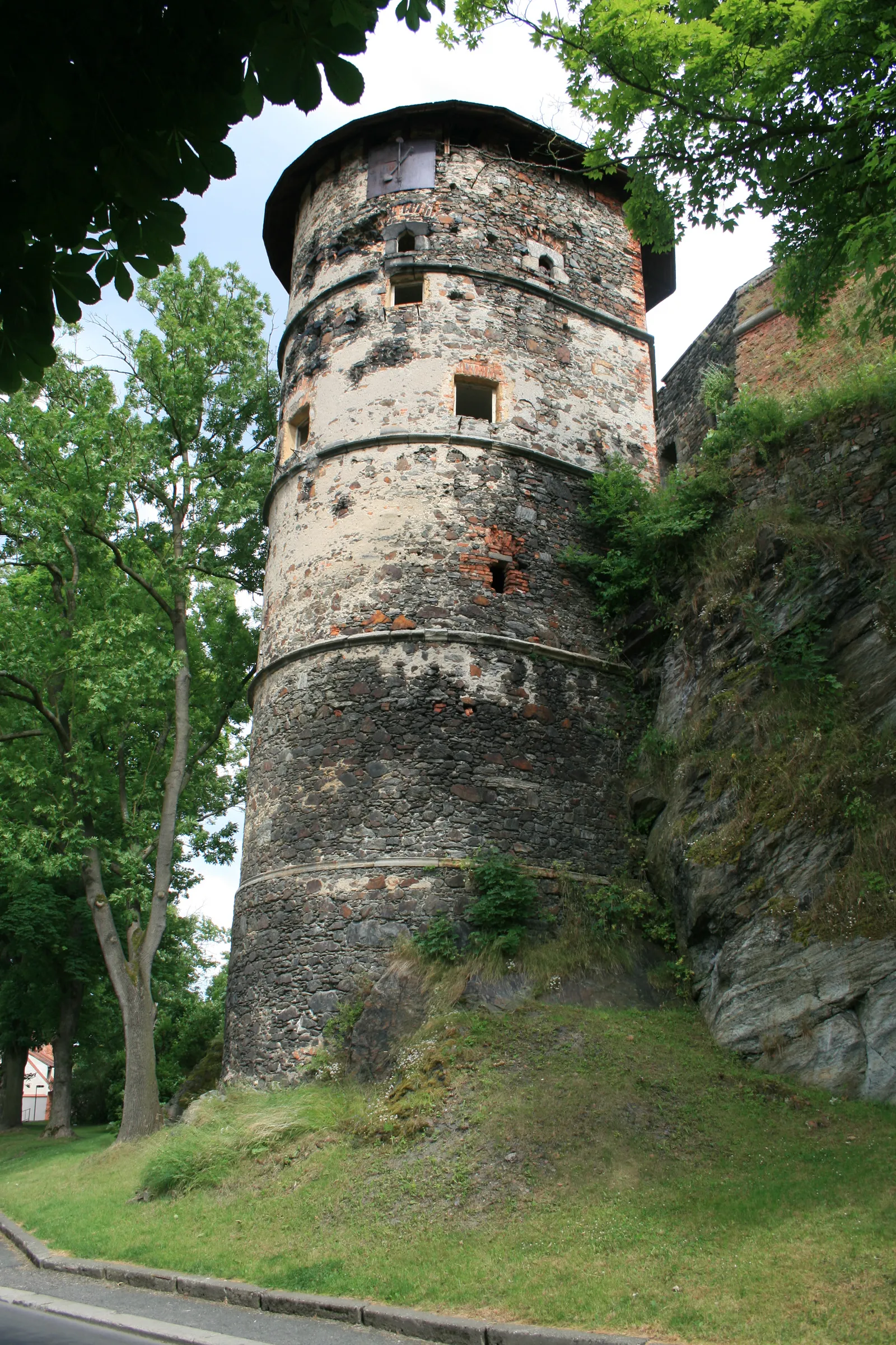
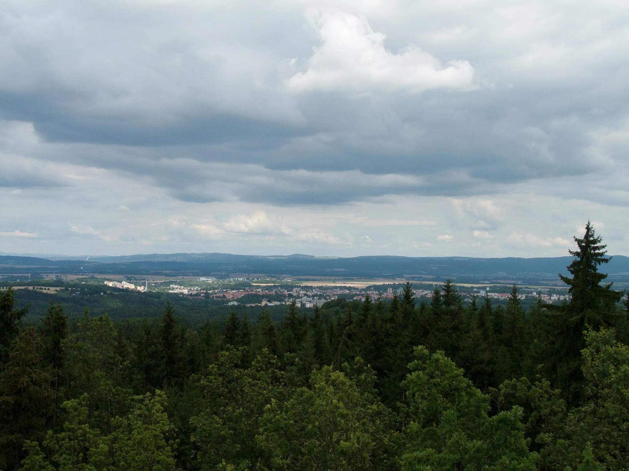
Bismarckova rozhlednaViewpointBismarckova rozhledna is a lookout tower offering panoramic views of the surrounding countryside.
24 km
24 km
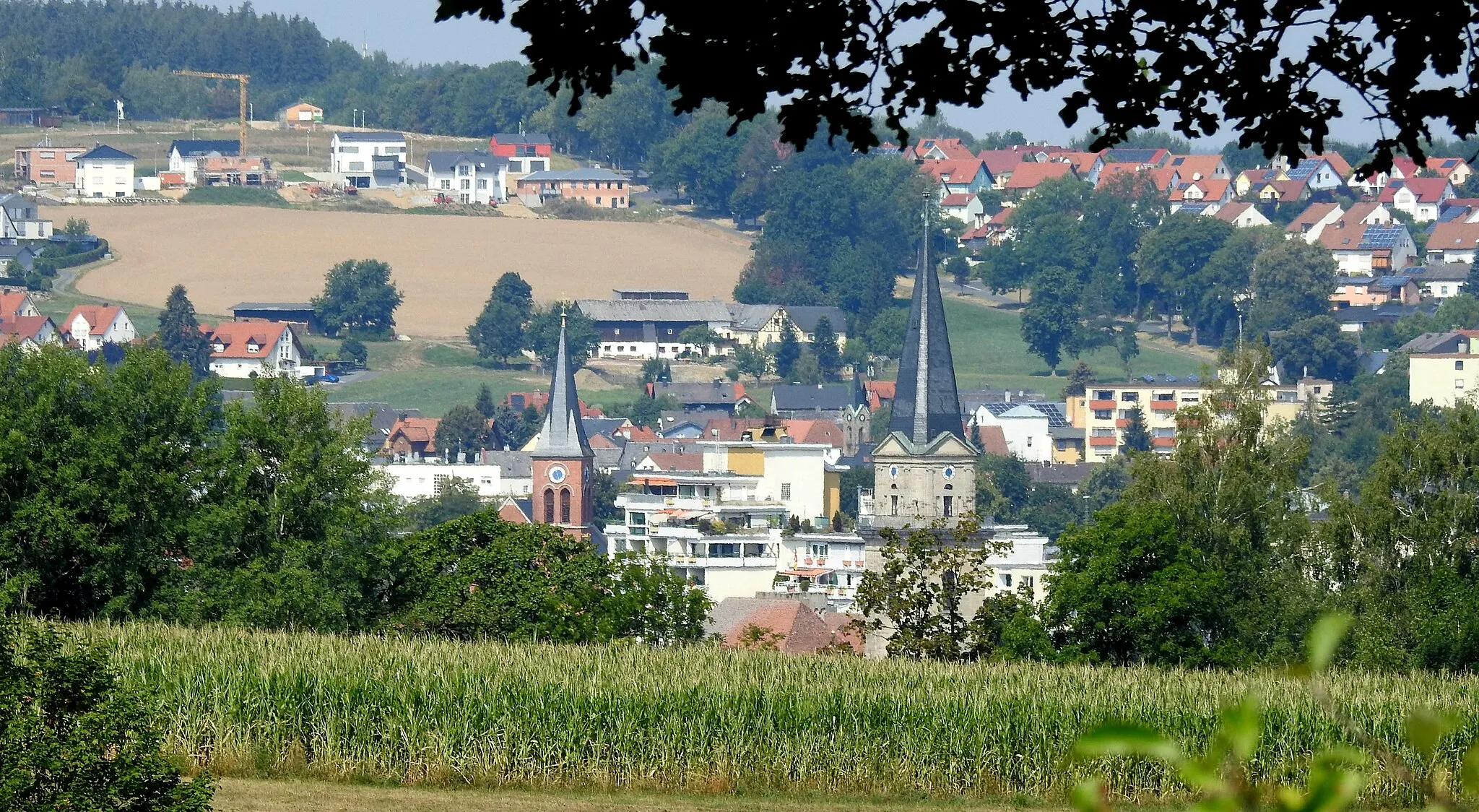
WaldsassenTownWaldsassen is a charming town with beautiful forests and hiking trails.
38 km
38 km
Finish: Raithenbach Village centerHohenberg an der Eger: Discover endless vineyards and tackle challenging climbs in the picturesque locality of Hohenberg an der Eger.
Cycling routes from Hohenberg an der Eger:
Hohenberg Gravel Circuit Hohenberg Road Adventure The Challenging Hills Tour Scenic Hills Ride The Gravel Adventure Cycling Route to Markneukirchen via Plauen Scenic Road Cycling Route through the Fichtel Mountains Gravel Route to Kraftwerk Hirschsprung via Thierstein Großwendern Gravel Loop Mitterteich Gravel Adventure Hohenberg an der Eger Loop Schirnding Gravel Loop Marktredwitz Gravel Adventure
Cycling routes nearby: