Mitterteich Gravel Adventure
A gravel cycling route starting from Hohenberg an der Eger
Explore the scenic gravel paths of Mitterteich and its surroundings
Map
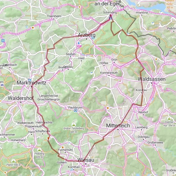
Discover the beauty of the Mitterteich region on this 62-kilometer gravel adventure. With rolling hills, forested trails, and intriguing cultural highlights, this route promises an exciting and immersive cycling experience.
gravel
62 km
808 m
Tough
Route profile
Highlights on the route
0 km
0 km
Start: Schirnding Village centerHohenberg an der Eger: Discover endless vineyards and tackle challenging climbs in the picturesque locality of Hohenberg an der Eger.
Hohenberg an der Eger is a cycling-friendly locality situated in the Oberfranken region of Germany. This area is known for its rolling hills and vast vineyards, making it a perfect destination for road cyclists looking for challenging climbs and scenic landscapes. The well-marked routes around Hohenberg provide opportunities for both long-distance rides and shorter loops. A well-known cycling spot nearby is the Ochsenkopf, a popular mountain with various routes suitable for both road and gravel cyclists. Hohenberg an der Eger is a dream come true for cycling enthusiasts who love both nature and wine culture.8 km
8 km
Dietzenberg626 mPeakDietzenberg is a renowned rock formation with unique geological characteristics and stunning views.
14 km
14 km
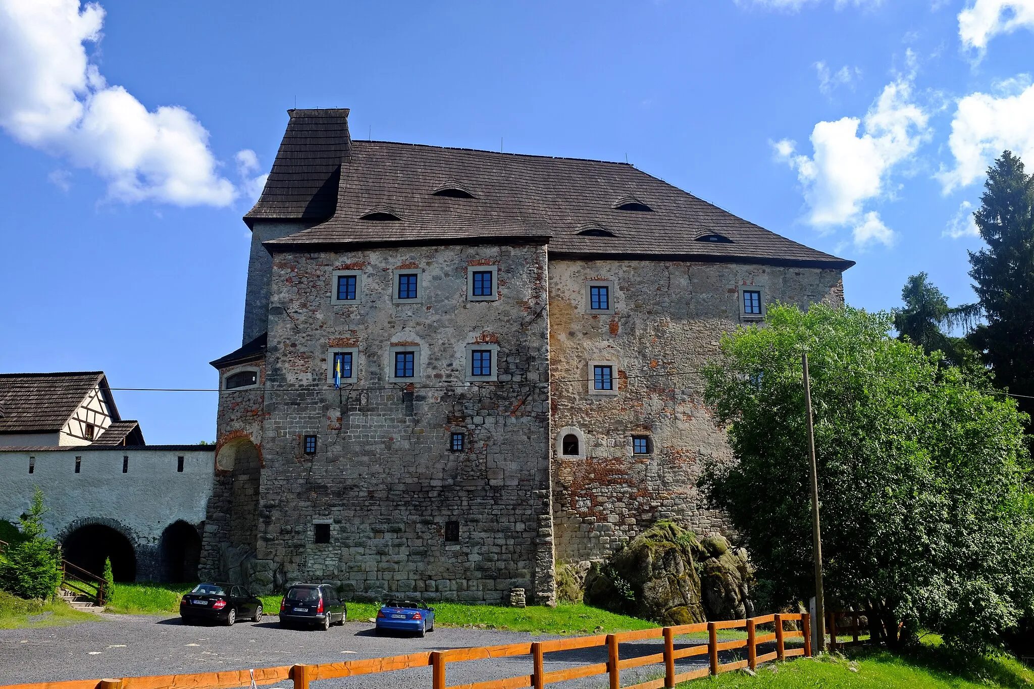
KondrauVillageKondrau is a charming village with traditional Franconian architecture and a rich cultural heritage.
21 km
21 km
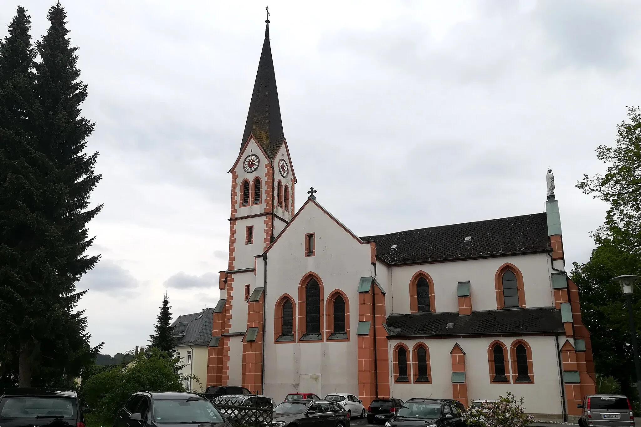
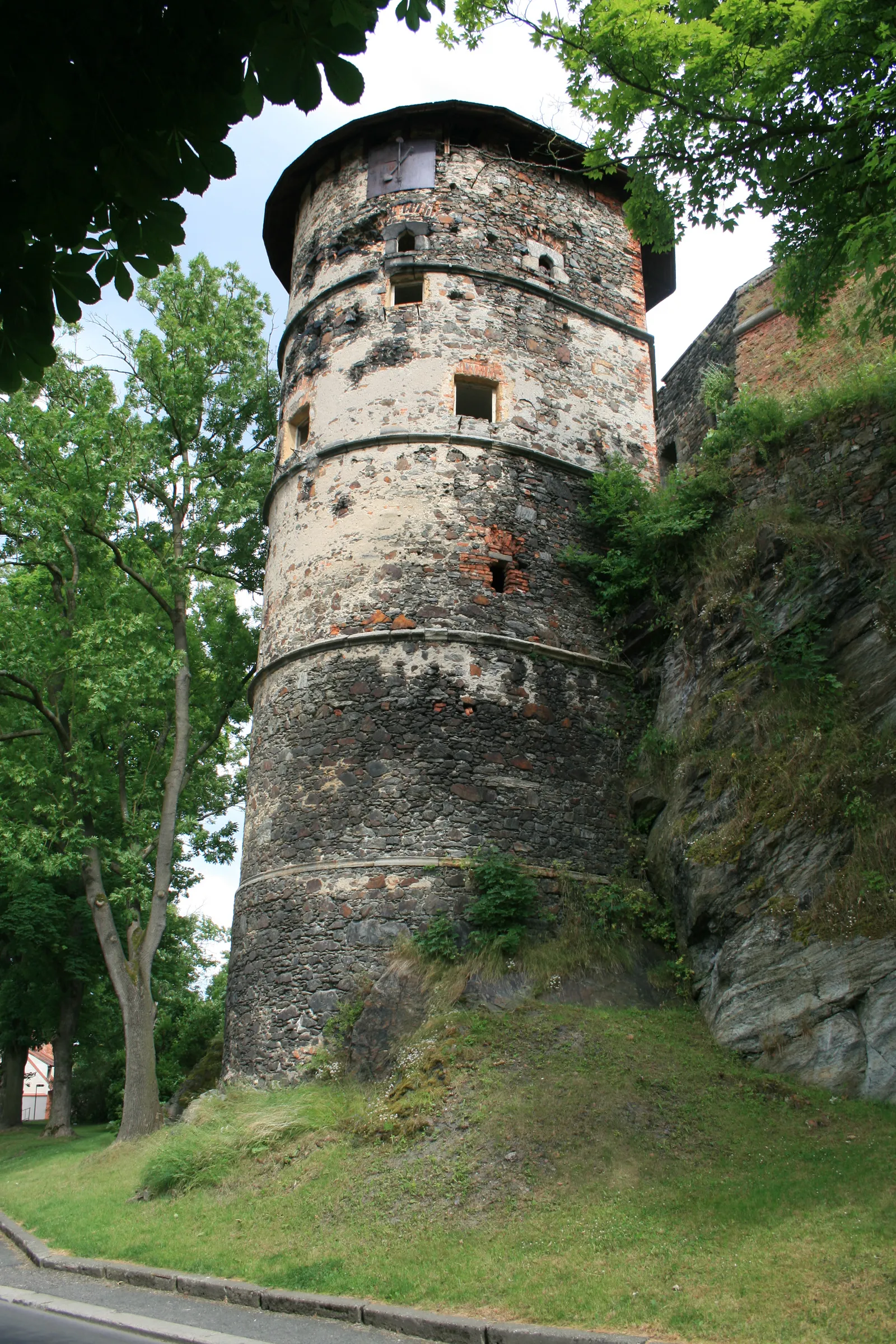
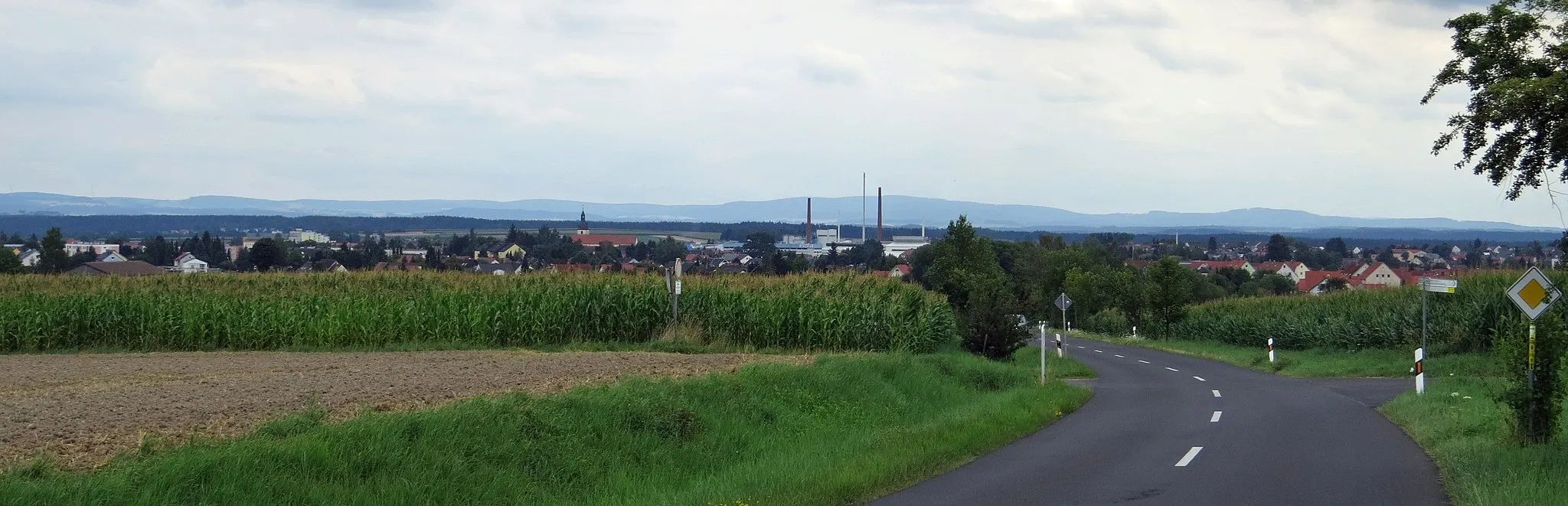
MitterteichTownMitterteich is a historic town that dates back to the Middle Ages and showcases impressive examples of Gothic and Baroque architecture.
33 km
33 km
Hackelstein730 mPeak ViewpointHackelstein is a rocky outcrop surrounded by dense forests, offering a tranquil and picturesque respite.
44 km
44 km
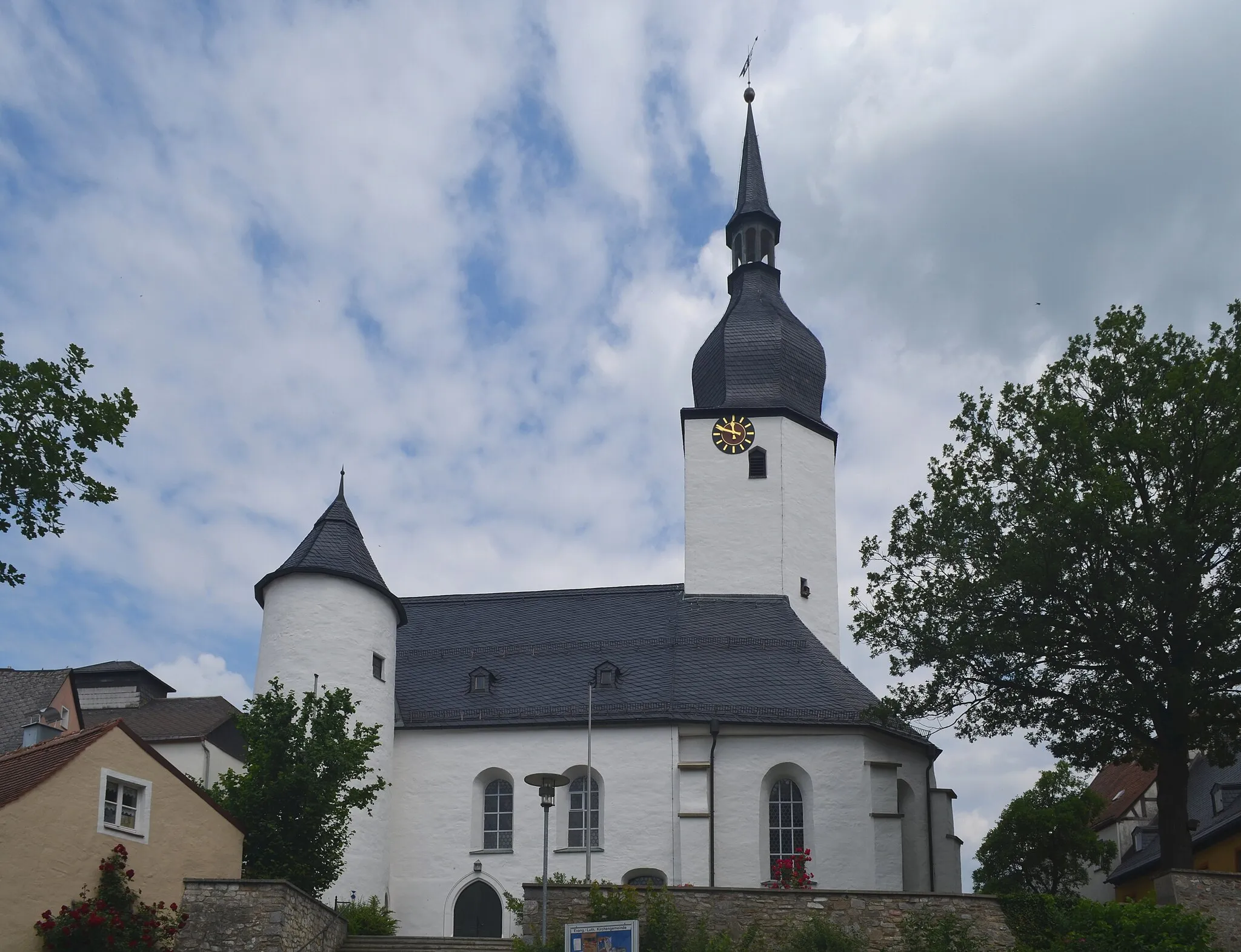
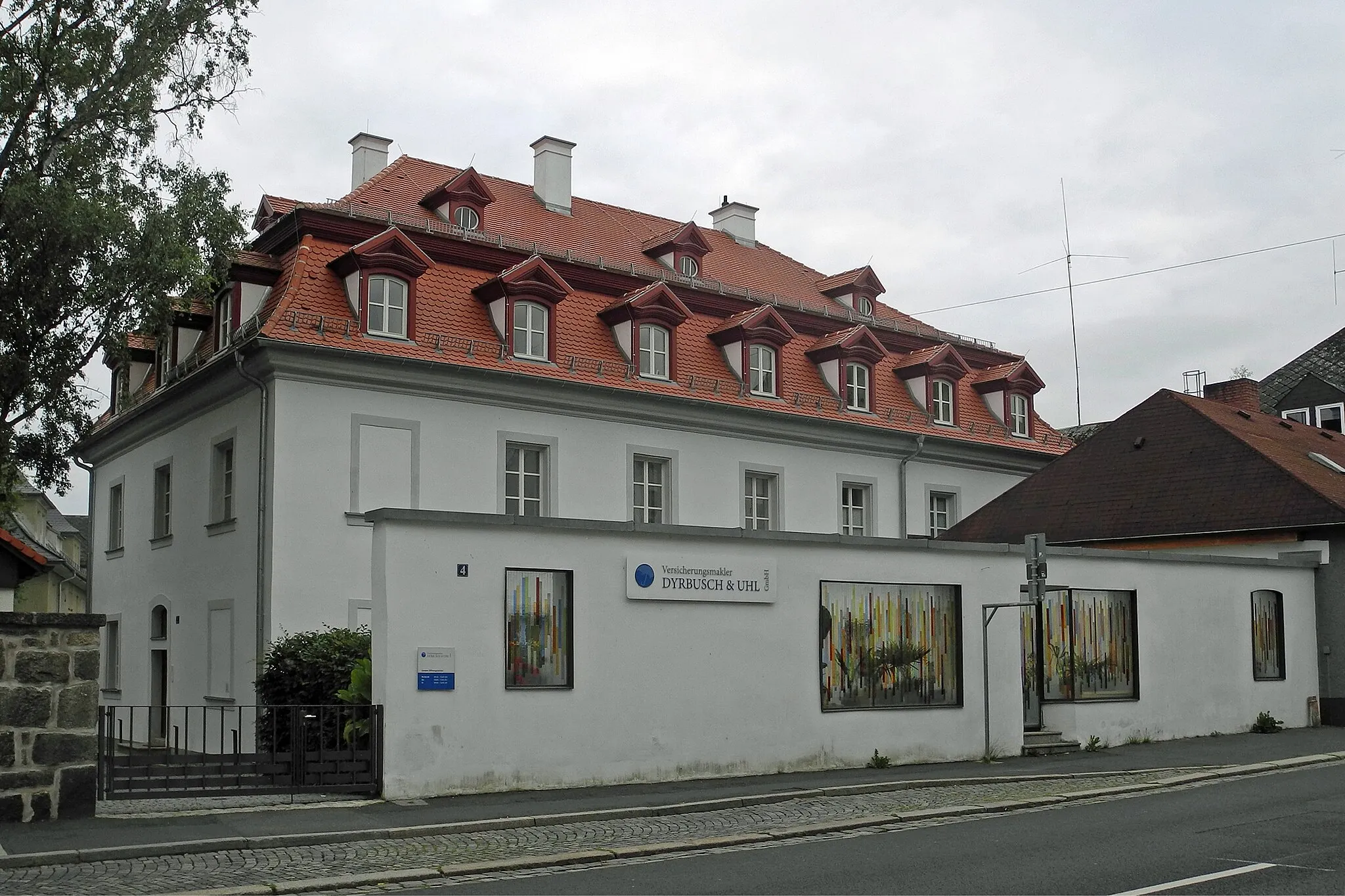
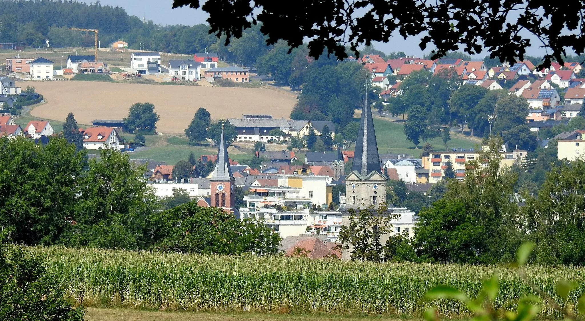
MarktredwitzTownMarktredwitz is a vibrant market town with a bustling city center, historic buildings, and a lively cultural scene.
52 km
52 km
Kohlberg528 mPeakKohlberg is an idyllic village nestled in the foothills of the Fichtel Mountains, known for its natural beauty and outdoor recreation opportunities.
58 km
58 km
SchlottenhofVillageSchlottenhof is a small hamlet that boasts a delightful mix of traditional Franconian architecture and charming rural landscapes.
62 km
62 km
Finish: Schirnding Village centerHohenberg an der Eger: Discover endless vineyards and tackle challenging climbs in the picturesque locality of Hohenberg an der Eger.
Cycling routes from Hohenberg an der Eger:
Hohenberg Gravel Circuit Hohenberg Road Adventure The Challenging Hills Tour Scenic Hills Ride The Gravel Adventure Cycling Route to Markneukirchen via Plauen Scenic Road Cycling Route through the Fichtel Mountains Gravel Route to Kraftwerk Hirschsprung via Thierstein Großwendern Gravel Loop Mitterteich Gravel Adventure Hohenberg an der Eger Loop Schirnding Gravel Loop Marktredwitz Gravel Adventure
Cycling routes nearby: