Wackersdorf - Eigenberg - Stamsried Loop
A road cycling route starting from Wackersdorf
Admire the scenic countryside and visit historic landmarks, including the charming town of Stamsried.
Map

Take on this challenging road cycling route that spans 108 kilometers from Wackersdorf to Stamsried. Along the way, you'll be greeted with breathtaking views of the picturesque countryside and have the opportunity to visit historic landmarks, including Eigenberg and Stamsried. With an ascent of 1,541 meters, this route is best suited for well-trained cyclists seeking a rewarding adventure. Highlights along the route include Eigenberg, Murglhof, Eichelstein, Oberviechtach, Winklarn, Degenberg, Grafenkirchen, Steinberg, Stamsried, Haselberg, and Warmersdorf.
road
108 km
1541 m
Savage
Route profile
Highlights on the route
0 km
0 km
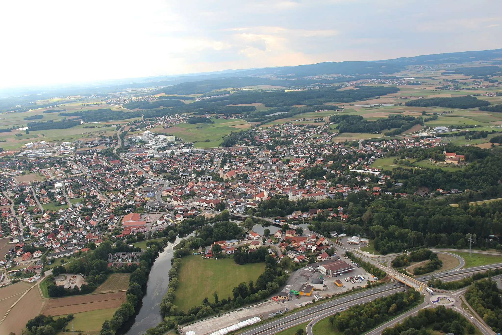
Start: Wackersdorf Village centerWackersdorf: Exploring the picturesque landscapes and conquering the Steinberg climb in Wackersdorf.
Wackersdorf is a town located in the Oberpfalz region of Germany. It offers a mix of road and gravel cycling routes through the beautiful Bavarian countryside. The area is known for its scenic landscapes, including rolling hills and expansive forests. A well-known cycling spot nearby is the Steinberg climb, which attracts cyclists looking for a challenging ascent. Wackersdorf also has cycling-friendly amenities such as bike shops and repair services, making it a convenient destination for cyclists exploring the Oberpfalz region.8 km
8 km
Eigenberg424 mPeakEigenberg is a small hill known for its scenic views of the surrounding countryside and charming traditional houses.
15 km
15 km
MurglhofHamletMurglhof is an ancient farmstead with rustic buildings and a unique atmosphere.
26 km
26 km
Eichelstein585 mPeakEichelstein is a picturesque village located amidst rolling hills and dense forests, offering a tranquil escape.
29 km
29 km
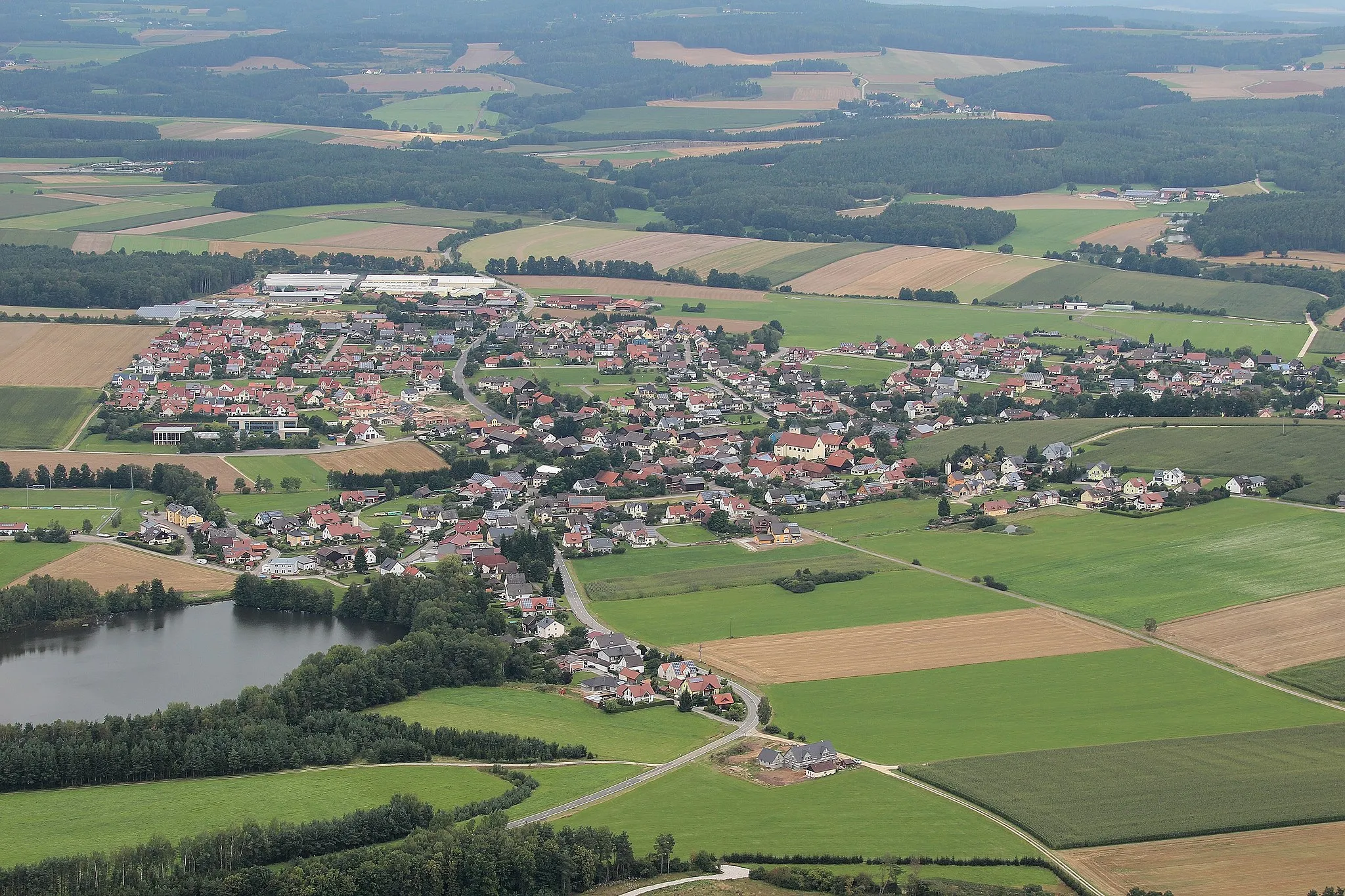
OberviechtachTownOberviechtach is a historic town with beautiful architecture, including a well-preserved castle and charming streets.
36 km
36 km
WinklarnVillageWinklarn is a peaceful village surrounded by green meadows and forests, creating a serene atmosphere.
49 km
49 km
Degenberg526 mPeakDegenberg is a scenic hill that rewards cyclists with stunning panoramic views of the surrounding landscapes.
63 km
63 km
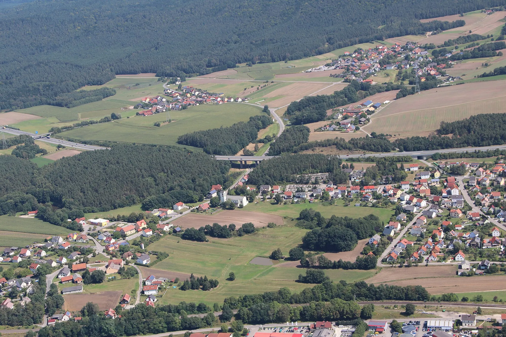
GrafenkirchenVillageGrafenkirchen is a quaint Bavarian town with charming architecture and a welcoming atmosphere.
66 km
66 km
Steinberg603 mPeakSteinberg is a picturesque village located amidst rolling hills and surrounded by pristine nature.
74 km
74 km
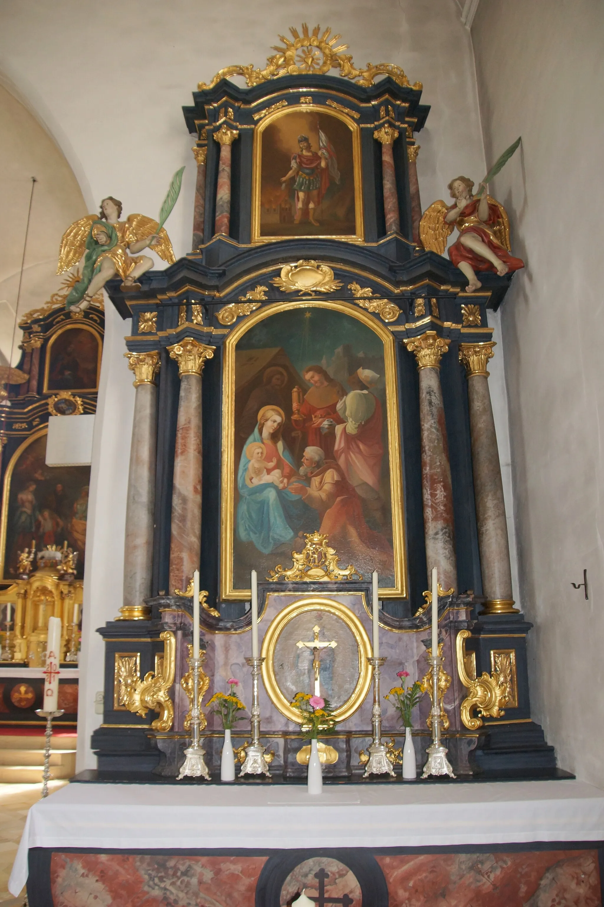
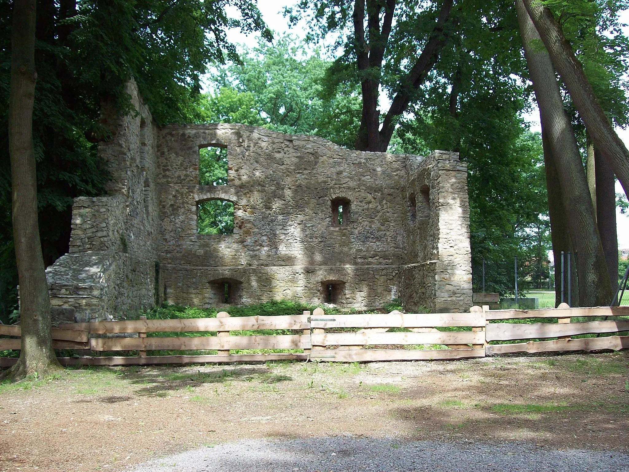
StamsriedVillageStamsried is a historic town with a well-preserved castle and beautiful Baroque buildings.
79 km
79 km
Haselberg489 mPeakHaselberg is a vantage point that offers breathtaking panoramic views of the scenic countryside.
101 km
101 km
WarmersdorfVillageWarmersdorf is a charming village with traditional Bavarian houses and well-tended gardens, creating a picturesque setting.
108 km
108 km
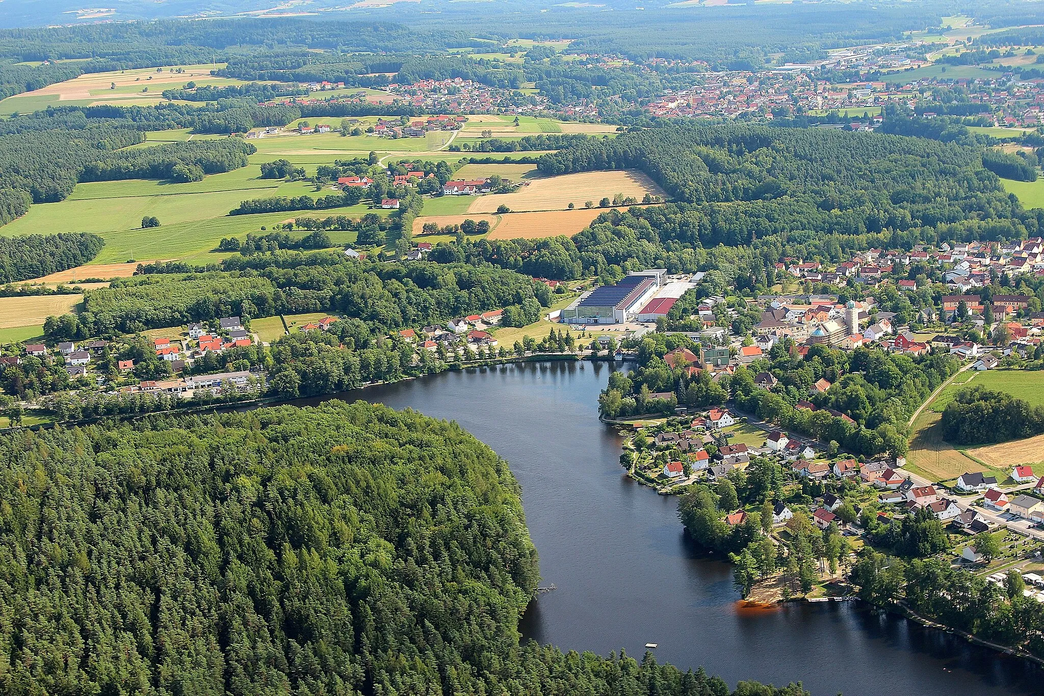
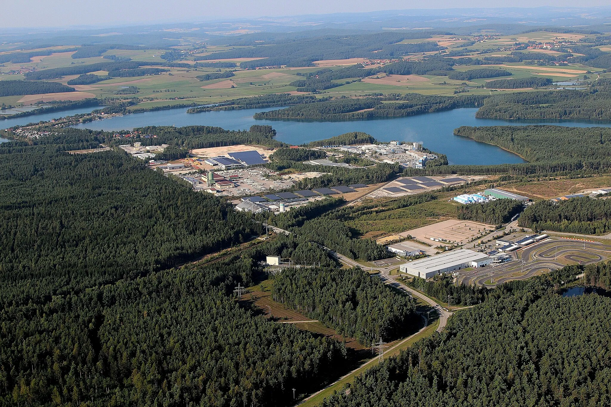
WackersdorfVillageWackersdorf is a small town known for its recreational facilities, including a lake and a karting track.
108 km
108 km
Finish: Wackersdorf Village centerWackersdorf: Exploring the picturesque landscapes and conquering the Steinberg climb in Wackersdorf.
Cycling routes from Wackersdorf:
Wackersdorf - Maxhütte-Haidhof - Alberndorf Loop Wackersdorf - Steinbuckel - Blick über Kronstetten Loop Wackersdorf - Altenschwand - Steinberg am See Loop Eicherlberg and Nittenau Scenic Route Wackersdorf - Rauberweiherhaus - Tannenberg Loop Münchshofen and Schmidmühlen Loop Alpenblick and Kallmünz Adventure Wackersdorf - Eigenberg - Stamsried Loop Cham and Roding Loop Through the Wilderness
Cycling routes nearby: