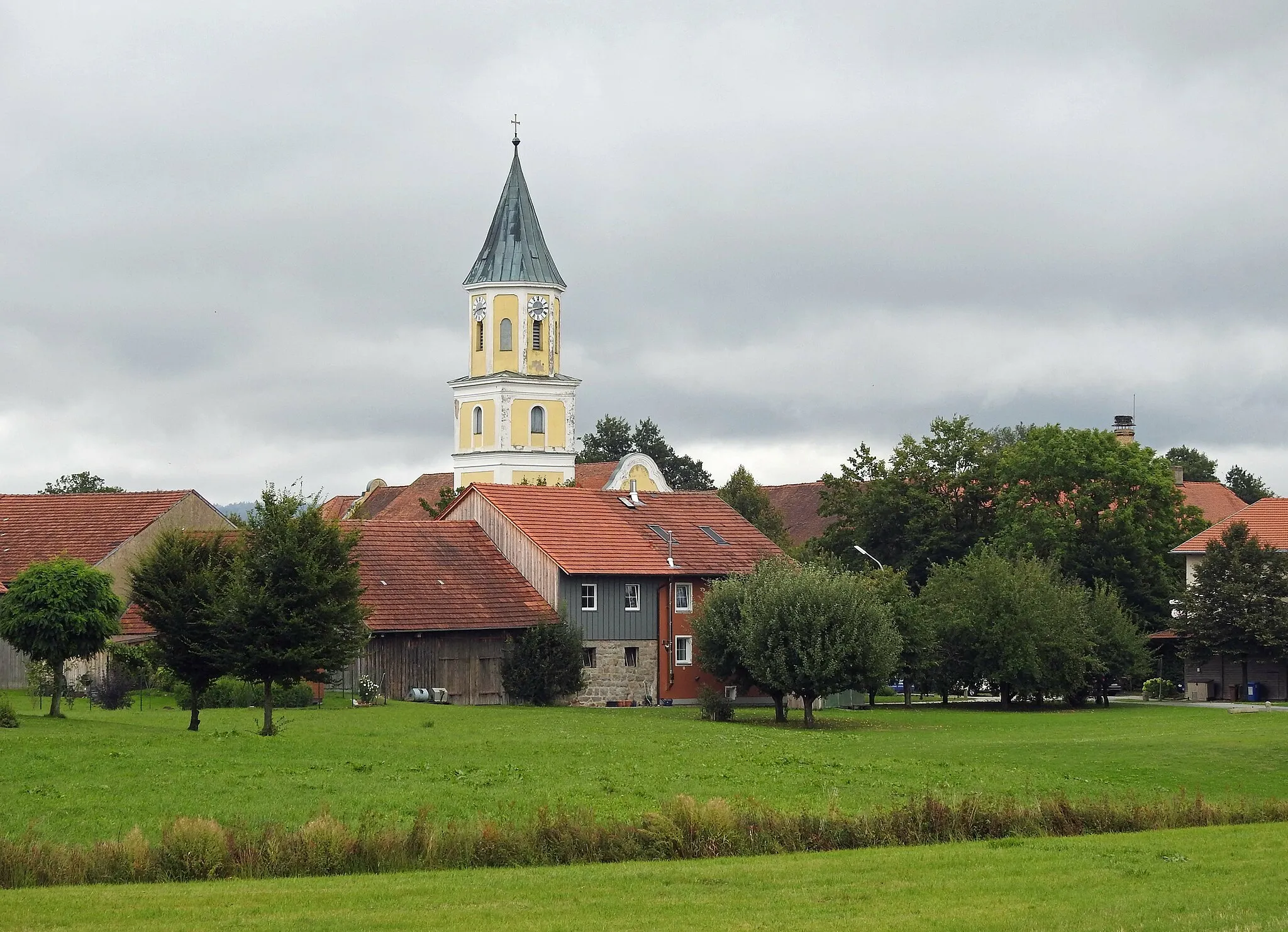
Immerse yourself in nature and experience thrilling rides in Waffenbrunn.
Cycling routes from Waffenbrunn
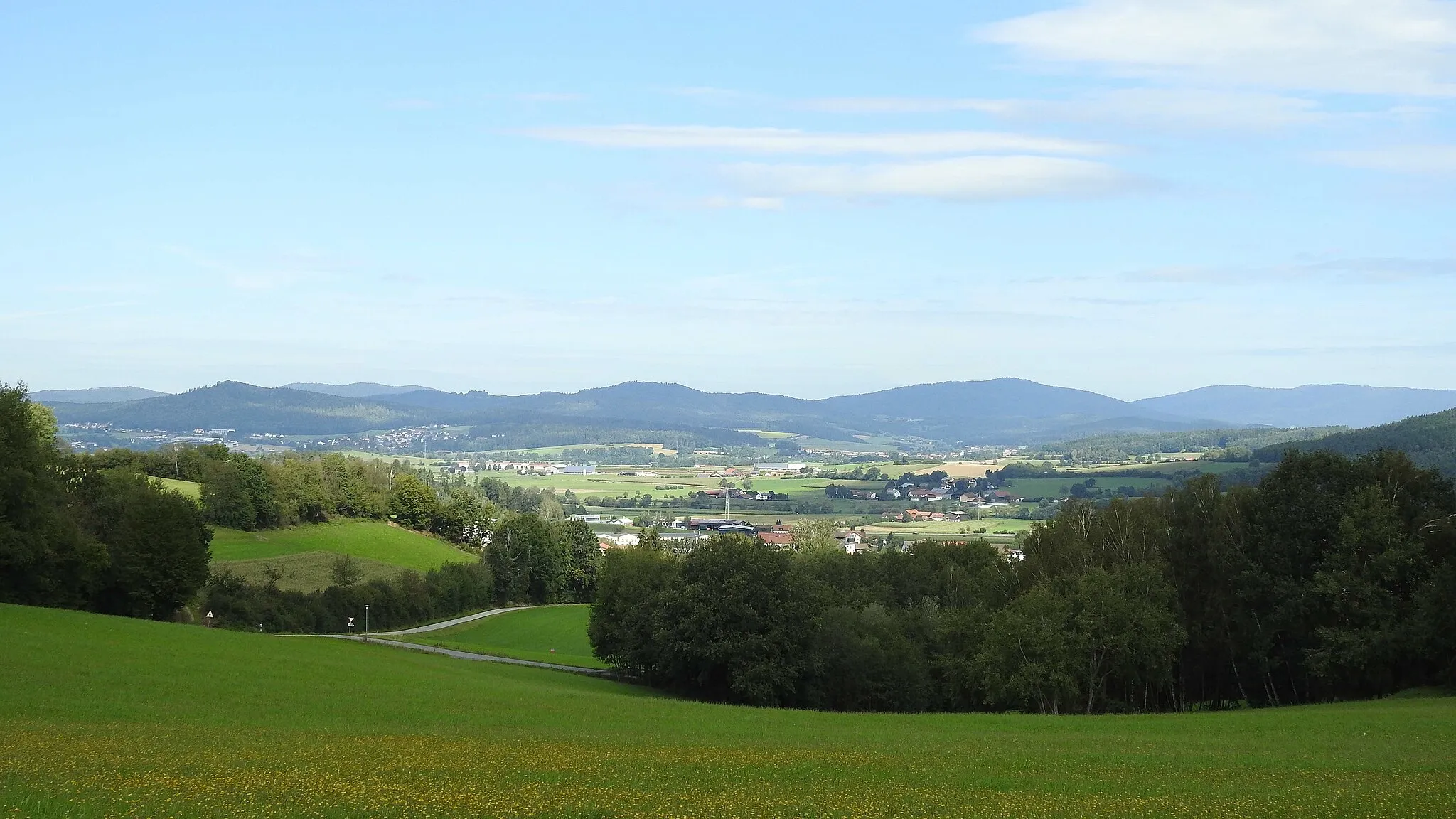
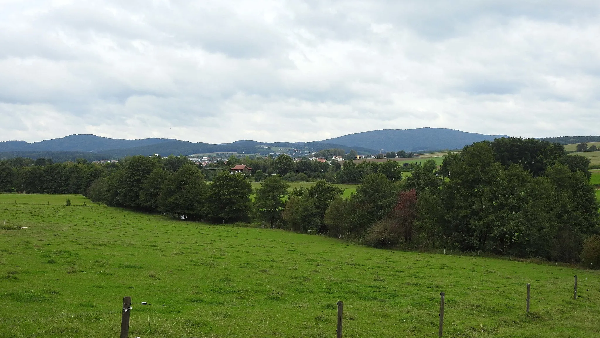
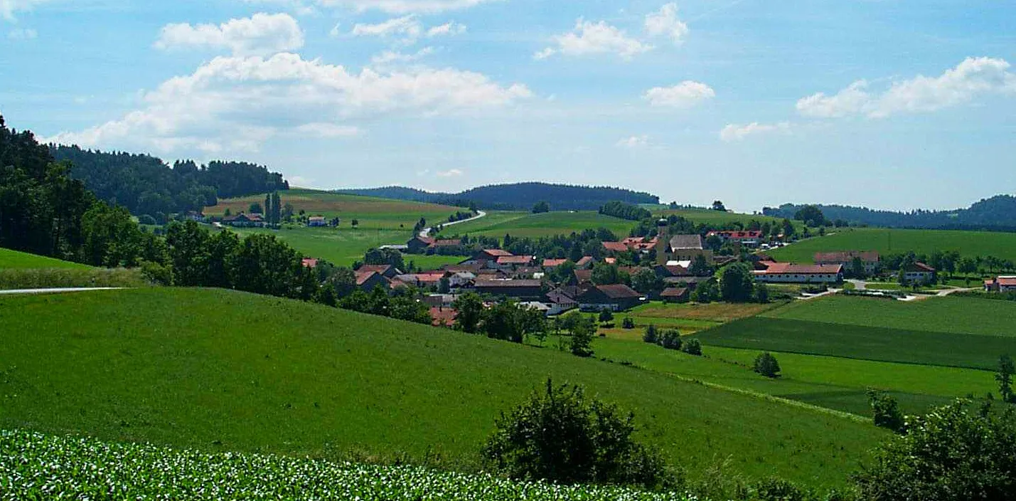
Located in the Upper Palatinate region of Germany, Waffenbrunn offers a diverse range of cycling opportunities. Road and gravel cyclists will appreciate the well-kept roads and scenery, which provide the perfect backdrop for enjoyable rides. Waffenbrunn is surrounded by beautiful forests and landscapes, showcasing the area's natural beauty. Additionally, this locality is situated near the Bavarian Forest, an excellent destination for cyclers seeking challenging climbs and stunning views. With its cycling-friendly infrastructure and captivating surroundings, Waffenbrunn is a fantastic place to explore on two wheels.

Embark on an epic gravel adventure in the Hochwald region near Waffenbrunn.
This 81 km gravel cycling route near Waffenbrunn takes you on an exciting adventure through the rugged Hochwald region. With a challenging ascent of 1686 meters, this route is suited for experienced gravel cyclists. Explore diverse landscapes, from dense forests to open meadows, and discover highlights like Degenberg and Plattenberg. Enjoy the thrill of conquering hilly terrain and take in the breathtaking views along the way.
The Katzenbühl Road Loop
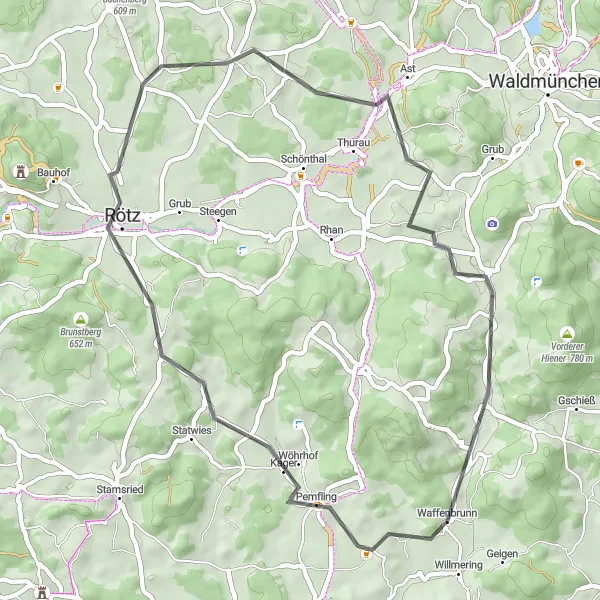
Experience the scenic beauty of the Katzenbühl region during this road cycling route near Waffenbrunn.
This 46 km road cycling route near Waffenbrunn takes you through the picturesque Katzenbühl region. With a moderate ascent of 580 meters, this route is suitable for moderately trained cyclists. Enjoy the stunning views along the way, pass through quaint villages like Pemfling and Rötz, and challenge yourself on the steep climb up the Schafberg. The route also offers highlights like Hiltersried and Balbersdorf, perfect for nature enthusiasts.
Walderbach Gravel Adventure

An adventurous gravel route with cultural highlights
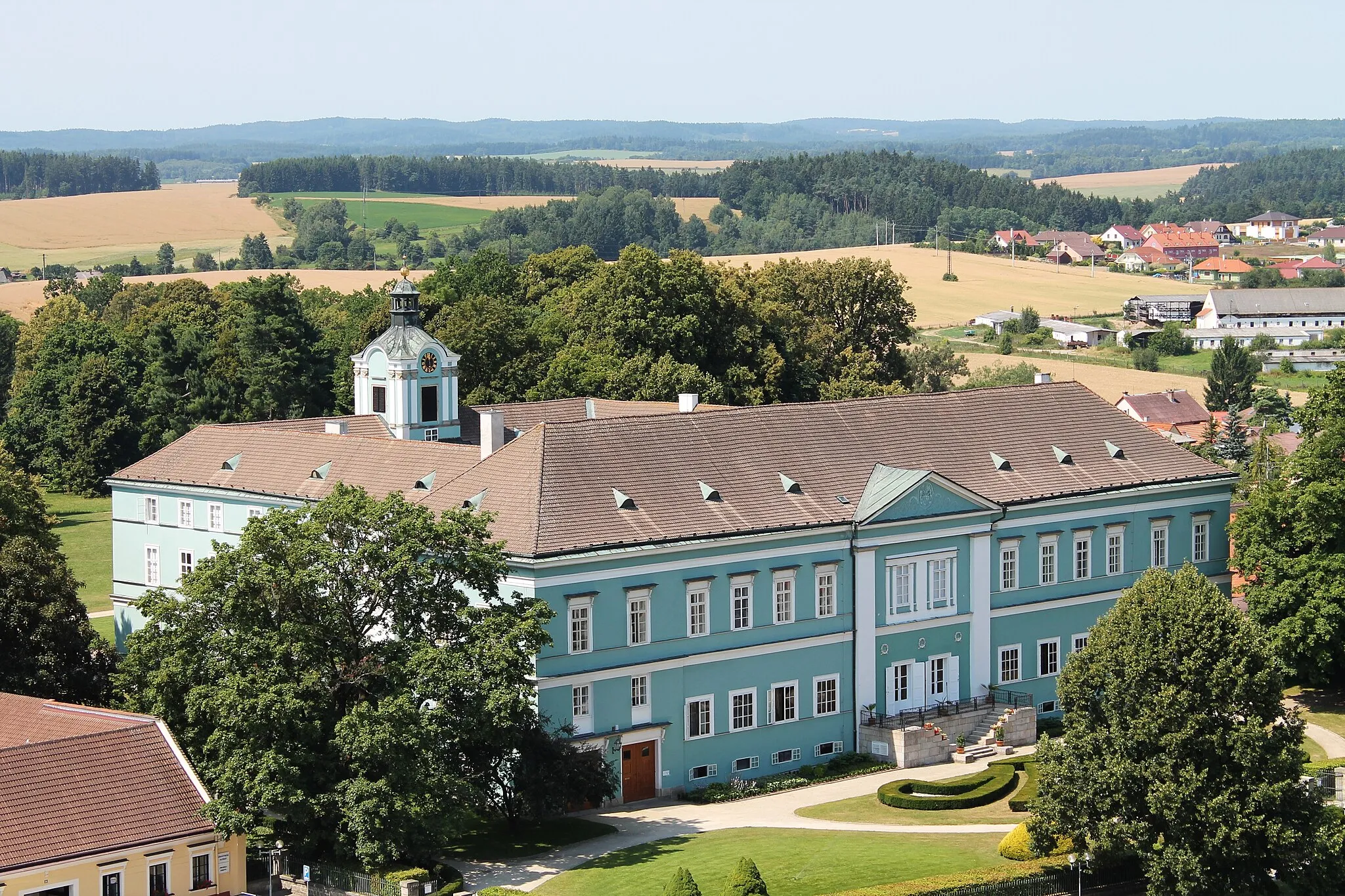
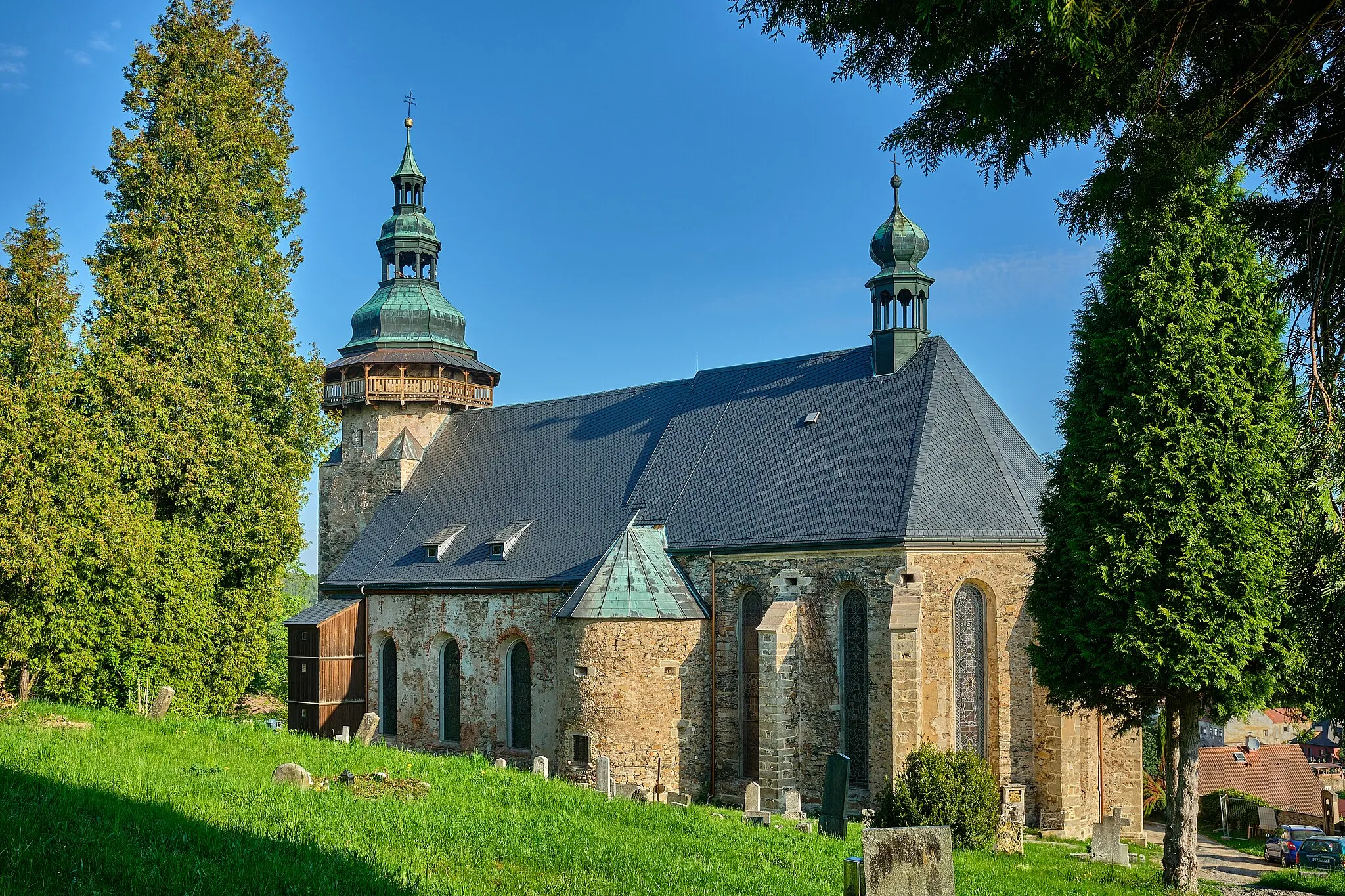
Explore an adventurous gravel route near Waffenbrunn covering a distance of 86km with a total ascent of 1084m. The highlights along the way include Waffenbrunn, your starting point at 2km, where you can marvel at the historic buildings and beautiful surroundings. Continue to Katzenbühl at 5km, a small village surrounded by picturesque nature. Steinriegel at 15km treats you with stunning panoramic views of the countryside. At 21km, you'll find the Rokoko-Kirche in Walderbach, known for its rococo architecture and intriguing history. Deifelsbuxn at 34km offers unique rock formations and a natural wonder to explore. As you reach Bruck in der Oberpfalz at 49km, you'll traverse through picturesque streets and admire the charming village atmosphere. Neukirchen-Balbini at 63km showcases traditional Bavarian architecture and a relaxed atmosphere. Schindberg at 79km immerses you in nature's beauty with its lush forests and idyllic setting. Finally, Grafenkirchen at 81km welcomes you with its rural charm and cultural highlights.
Legends of Oberpfalz
A challenging road route with legendary climbs and epic scenery
Experience the legends of Oberpfalz on this challenging road route covering a distance of 98km with a total ascent of 1732m. The route starts at Grosser Buchberg, which offers magnificent panoramic views as you begin your journey. Zandt at 14km treats you to stunning landscapes and rolling hills. Gallner Berg at 28km provides a challenging climb with rewarding views from the top. As you reach Rattiszell at 32km, pause to appreciate the idyllic setting and natural beauty. At Saulburg, 45km into the ride, you can marvel at the picturesque village and surrounding countryside. Kobelberg at 50km showcases the region's cultural heritage with its historic sites and charming streets. Lauberberg at 63km immerses you in nature's beauty with its tranquil atmosphere and expansive views. Pösing at 84km offers scenic and serene surroundings, perfect for a break. Finally, Mühlbühl at 89km and Prienzing at 97km welcome you with their charm and cultural attractions to complete your extraordinary journey through the legends of Oberpfalz.
The Waldmünchen Road Adventure
Experience the breathtaking beauty of Waldmünchen during this challenging road cycling adventure.
This 75 km road cycling route near Waffenbrunn takes you through the captivating landscapes of Waldmünchen. With an elevation gain of 1295 meters, this route is suitable for well-trained cyclists. Explore the charming town of Waldmünchen, pass through picturesque villages like Nemanice and Trhanov, and take in the beauty of Voithenberghütte. Challenge yourself on the climb to Dachsberg and be rewarded with unforgettable views of the surrounding nature.
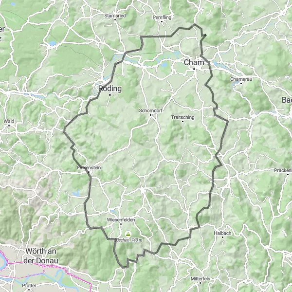
The Roding Road Trip
Embark on a challenging road trip exploring the scenic landscapes around Roding.
This 99 km road cycling route near Waffenbrunn takes you on a challenging journey through the diverse landscapes around Roding. With an elevation gain of 1590 meters, this route is suitable for experienced cyclists. Immerse yourself in the beauty of the Bavarian countryside, visit attractions like Altenthann and Katzenbühl, and enjoy the peacefulness of riding through the Ponholzmühle area. The route also includes highlights such as Haselberg and Weinberg, offering breathtaking views and memorable experiences.

A scenic road route with breathtaking panoramic views
Embark on a scenic road route near Waffenbrunn that takes you on a journey through stunning panoramas. Covering a distance of 91km with a total ascent of 1424m, this route is suitable for road cyclists seeking beautiful landscapes. Highlights along the route include Traitsching at 17km, where you can marvel at the rolling hills and picturesque countryside. The Schanzenberg at 17km offers panoramic views that are worth the climb. As you continue, you'll encounter Viechtberg at 33km, known for its impressive viewpoint and the opportunity to capture memorable photos. Wiesenfelden at 35km offers charming scenery with lush green fields and forests. The Naturschutzgebiet Hölle at 53km allows you to immerse yourself in nature's beauty with its protected area. Martinsneukirchen at 59km treats you with its rural charm and peaceful ambiance. In Roding at 74km, you can explore the town and learn about its rich history. The Steinriegel at 78km offers panoramic views over the surrounding countryside, and Katzenbühl at 88km leads you through quaint Bavarian villages. Finally, the Rhanwalting at 89km provides a serene and tranquil spot to unwind after a memorable ride.
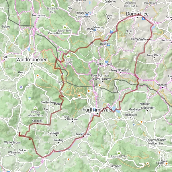
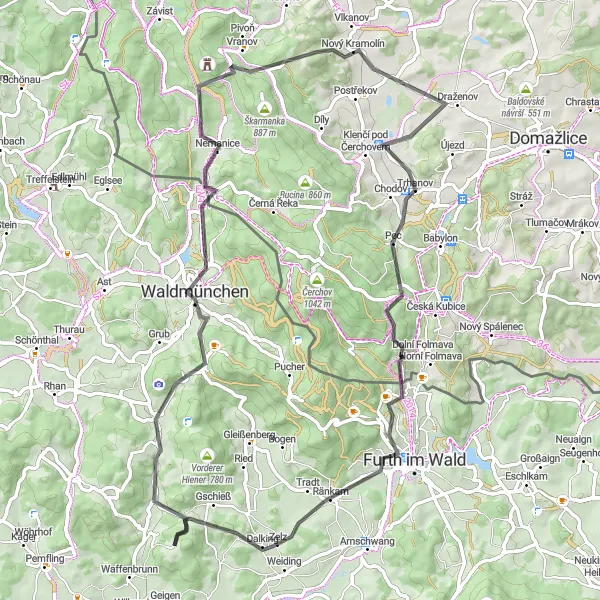
Push your limits on this exhilarating gravel cycling route near Waffenbrunn.
This 85 km gravel cycling route near Waffenbrunn takes you on a challenging adventure through diverse landscapes. With an elevation gain of 1487 meters, this route demands physical fitness and gravel cycling skills. Experience the thrill of riding through picturesque meadows, conquer the climb up to Čerchov, and explore highlights like Domažlice and Furth im Wald. Enjoy the stunning views and test your limits on this epic gravel loop.
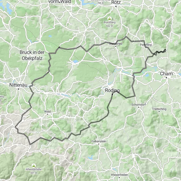
Feuerstein Loop
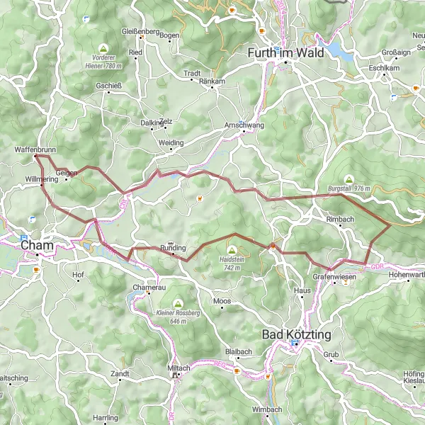
A challenging gravel route with stunning views on Feuerstein
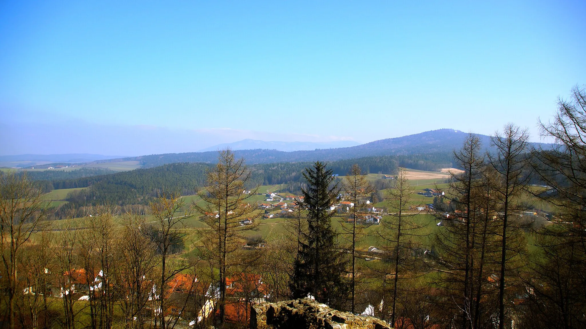
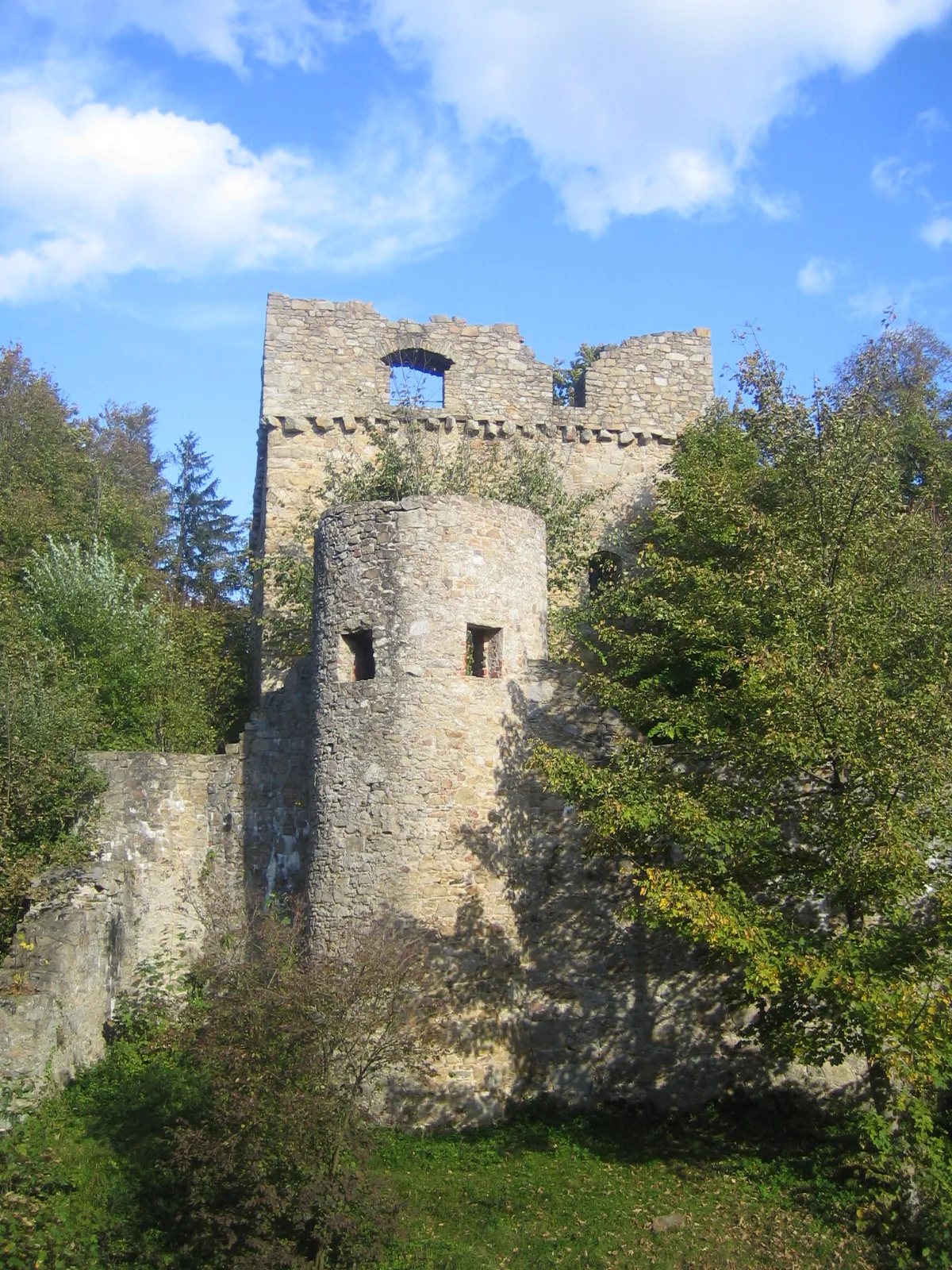
This gravel route near Waffenbrunn offers a challenging ride with a total ascent of 924m over a distance of 49km. The highlights along the way include the Feuerstein viewpoint at 7km, which offers stunning panoramic views of the surrounding landscapes. You'll also pass through Zenching at 14km, where you can take a break and admire the beautiful countryside. As you continue, you'll come across Burgstall at 20km, an ancient hilltop site with historic significance. The route rewards you with breathtaking views on Grafenwiesen at 27km, and you'll pass through Runding at 38km, known for its charming village atmosphere. One of the highest points on the route is the Aussichtsplattform at 38km, where you can stop and enjoy the expansive vistas. The Galgenberg at 45km offers a peaceful and serene spot with great views, and finally, you'll reach Willmering at 48km, a picturesque village that completes the journey.
Cham Road Loop

A scenic road loop through historic towns and countryside
Embark on a picturesque road loop near Waffenbrunn, covering a distance of 48km with a total ascent of 671m. The route starts in Cham, a historic town with charming architecture and rich history. As you continue, you'll pass through Lindenberg at 14km, treating you with its scenic beauty and picturesque countryside. Roding at 21km, known for its fascinating Stadtsilhouette and the meandering Regenfluss, offers a unique sight. Marvel at the panoramic views from Stamsried at 33km, with its medieval castle and quaint streets. Kettenberg at 35km immerses you in nature's tranquility with its peaceful ambiance and lush forests. Pemfling at 42km allows you to explore the rural countryside and unwind in its serene atmosphere. Finally, the route takes you through Katzenbühl at 45km, where you can experience the charm of quaint Bavarian villages before returning to Cham.
Cycling routes nearby:

Nearby regions: