The Katzenbühl Road Loop
A road cycling route starting from Waffenbrunn
Experience the scenic beauty of the Katzenbühl region during this road cycling route near Waffenbrunn.
Map
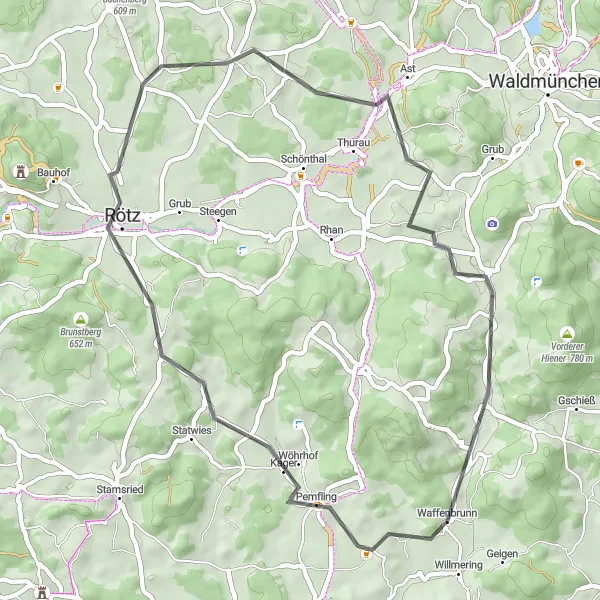
This 46 km road cycling route near Waffenbrunn takes you through the picturesque Katzenbühl region. With a moderate ascent of 580 meters, this route is suitable for moderately trained cyclists. Enjoy the stunning views along the way, pass through quaint villages like Pemfling and Rötz, and challenge yourself on the steep climb up the Schafberg. The route also offers highlights like Hiltersried and Balbersdorf, perfect for nature enthusiasts.
road
46 km
580 m
Tough
Route profile
Highlights on the route
0 km
0 km
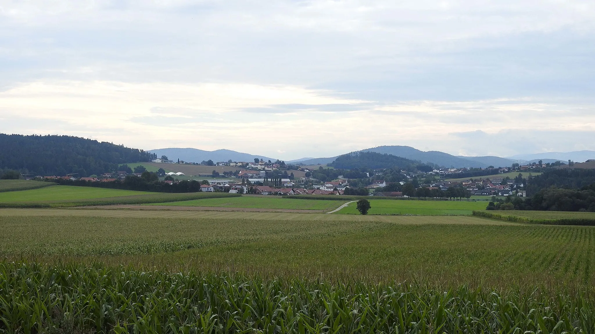
Start: Waffenbrunn Village centerWaffenbrunn: Immerse yourself in nature and experience thrilling rides in Waffenbrunn.
Located in the Upper Palatinate region of Germany, Waffenbrunn offers a diverse range of cycling opportunities. Road and gravel cyclists will appreciate the well-kept roads and scenery, which provide the perfect backdrop for enjoyable rides. Waffenbrunn is surrounded by beautiful forests and landscapes, showcasing the area's natural beauty. Additionally, this locality is situated near the Bavarian Forest, an excellent destination for cyclers seeking challenging climbs and stunning views. With its cycling-friendly infrastructure and captivating surroundings, Waffenbrunn is a fantastic place to explore on two wheels.3 km
3 km
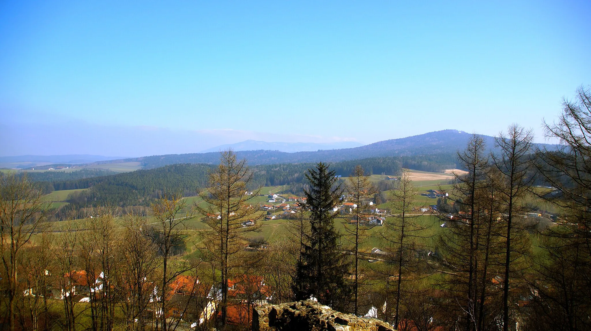
Katzenbühl444 mPeakExplore the charming village of Katzenbühl and take in its traditional Bavarian architecture.
5 km
5 km
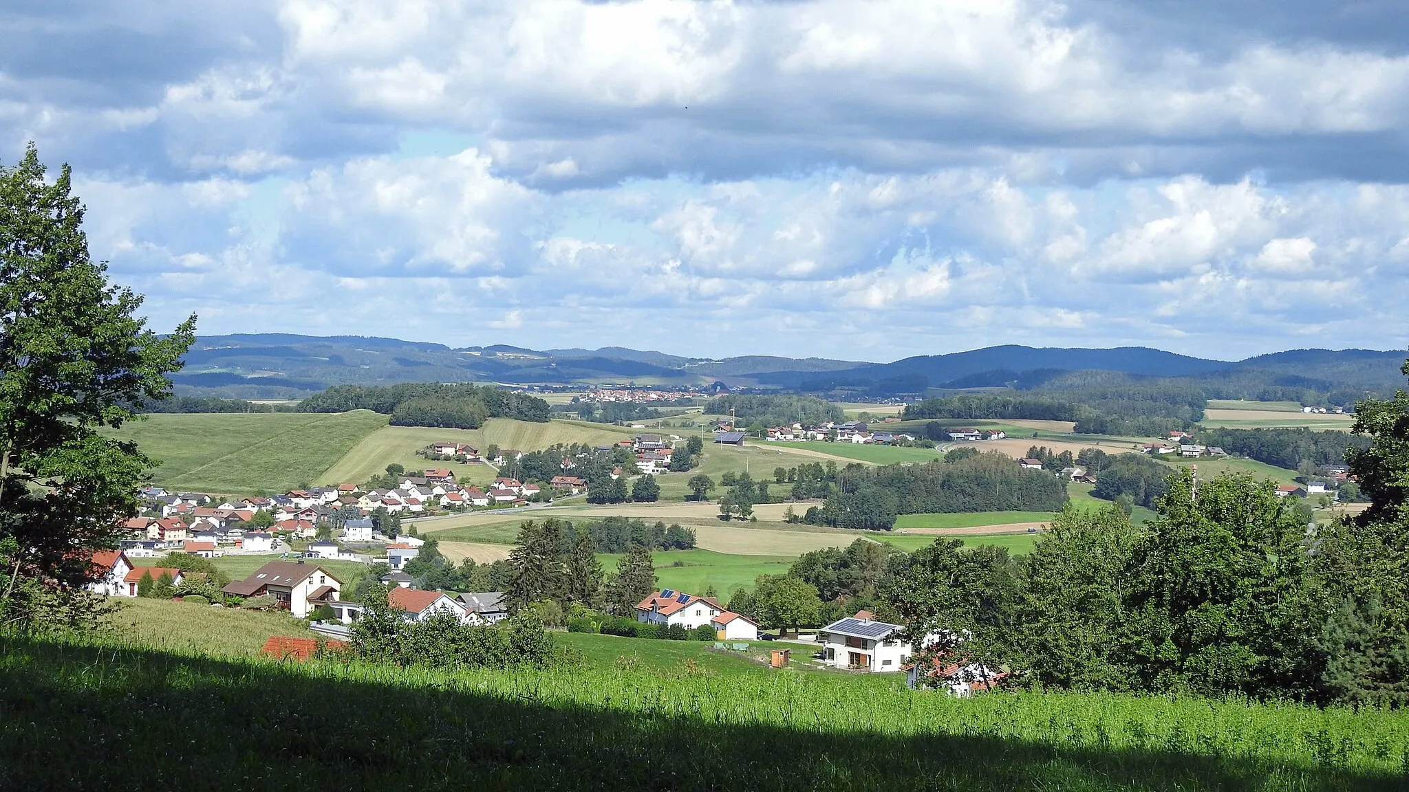
PemflingVillagePemfling is a must-visit highlight on this route, offering beautiful panoramic views of the surrounding countryside.
12 km
12 km
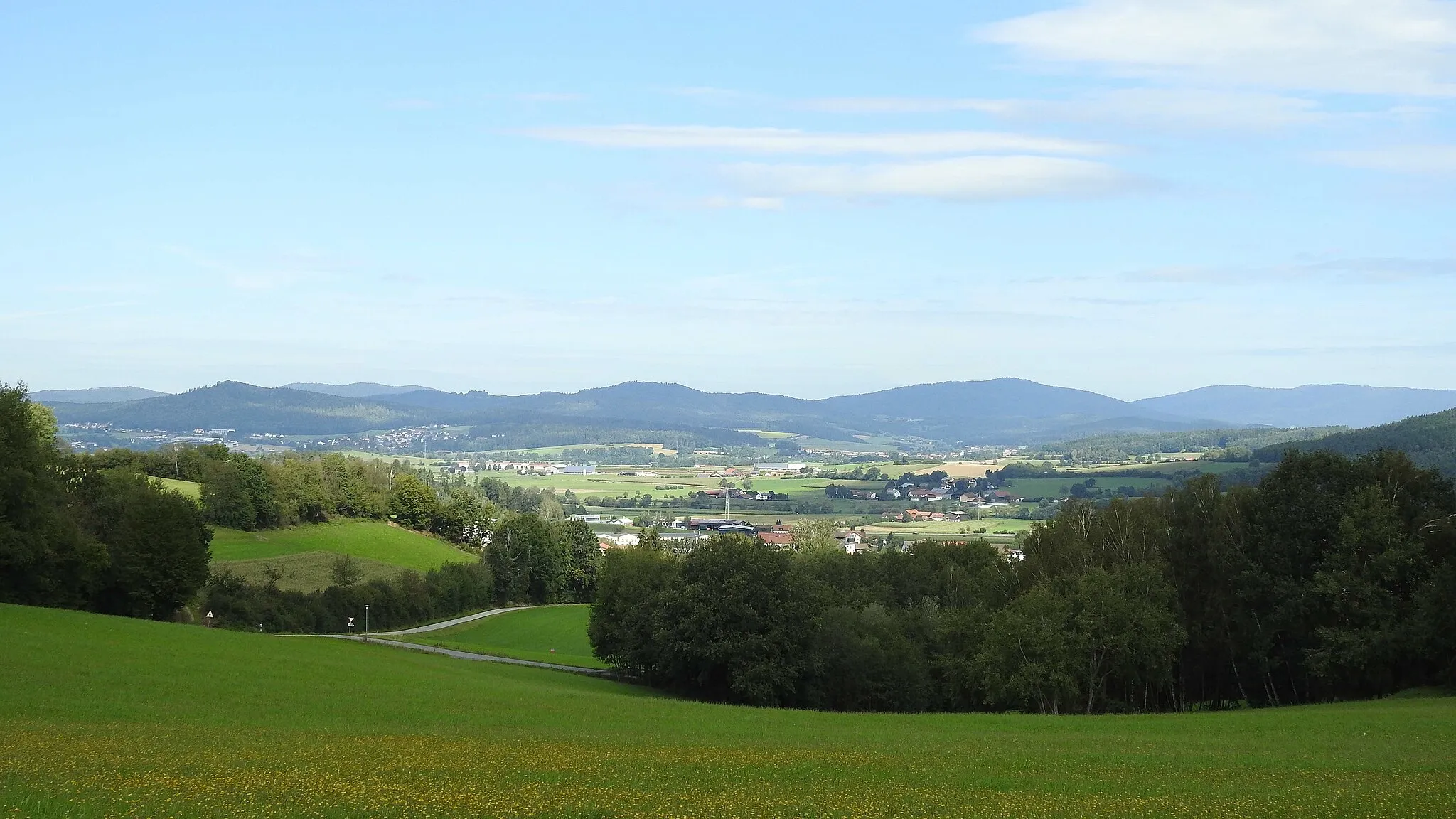
Schafberg542 mPeakConquer the challenging climb up the Schafberg and be rewarded with breathtaking views from the top.
17 km
17 km
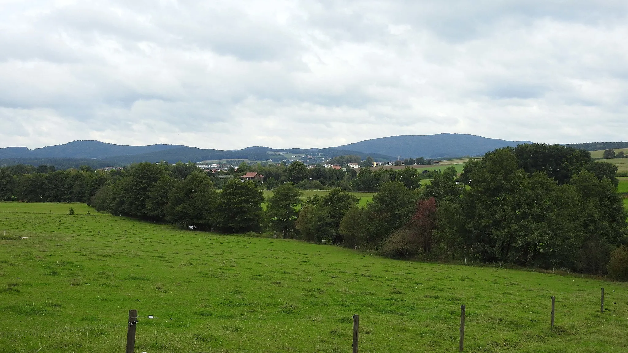
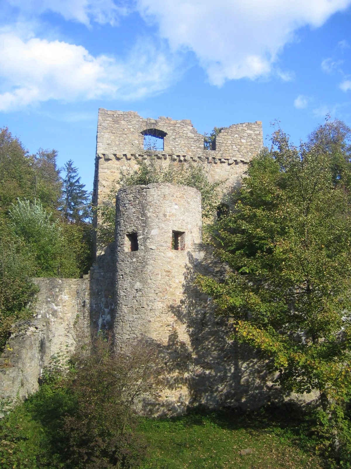
RötzTownVisit the historic town of Rötz, known for its well-preserved medieval buildings and charming atmosphere.
25 km
25 km
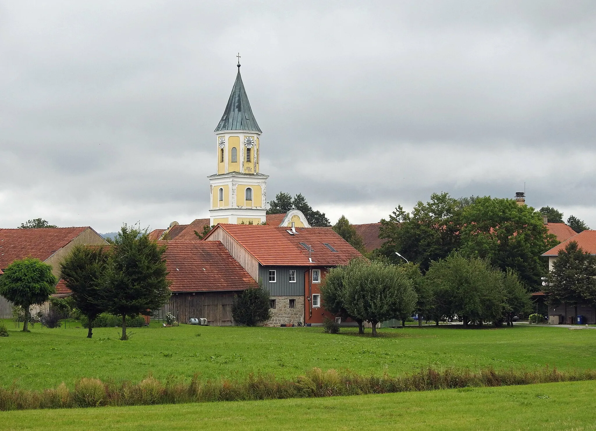
HiltersriedVillageMake a stop at Hiltersried, a small village surrounded by rolling hills and lush greenery.
36 km
36 km
Bleschenberg596 mPeakBleschenberg offers stunning views of the surrounding forests and meadows, making it a perfect place for a photo stop.
42 km
42 km
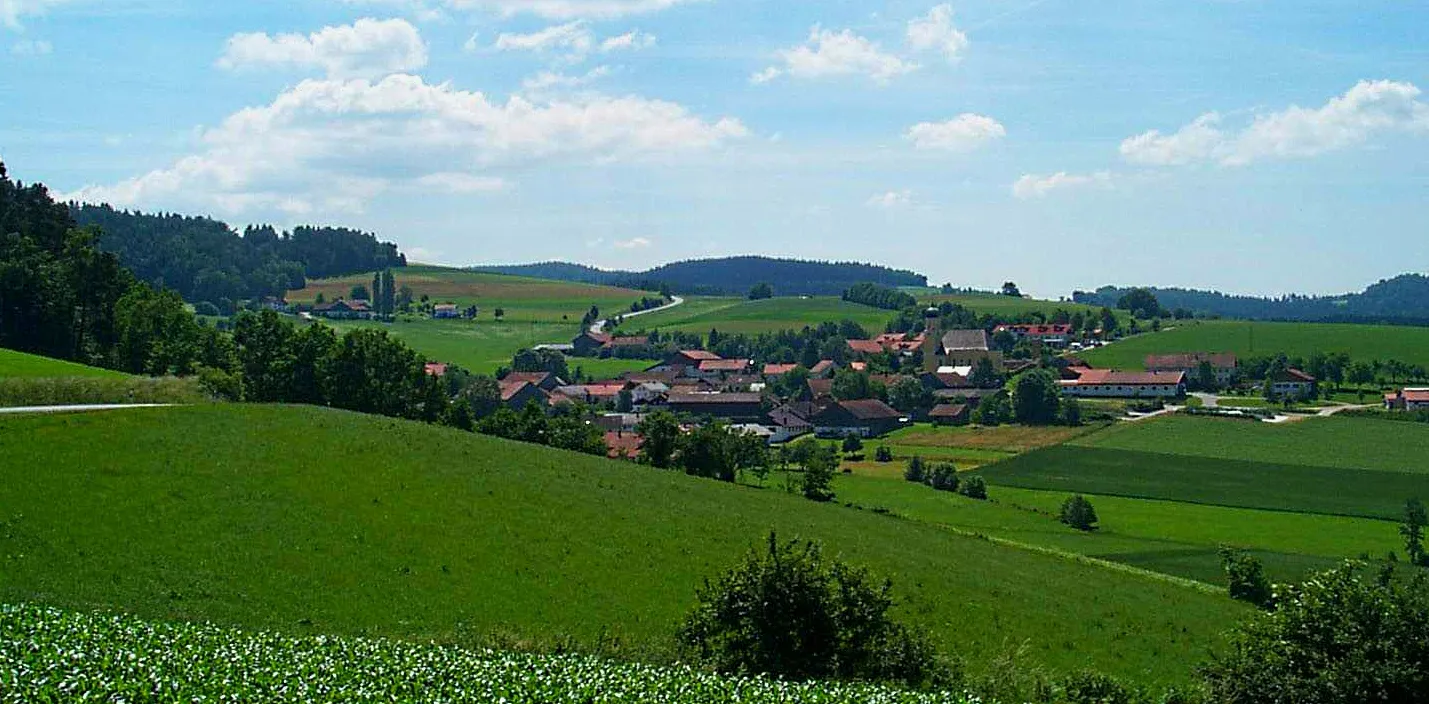
BalbersdorfVillagePass through Balbersdorf, a quiet village with traditional Bavarian houses and friendly locals.
45 km
45 km
Försterhöhe451 mPeakEnjoy the peaceful atmosphere at Försterhöhe, a scenic spot with picturesque views of the countryside.
46 km
46 km
Finish: Waffenbrunn Village centerWaffenbrunn: Immerse yourself in nature and experience thrilling rides in Waffenbrunn.
Cycling routes nearby: