The Challenging Gravel Loop
A gravel cycling route starting from Waffenbrunn
Push your limits on this exhilarating gravel cycling route near Waffenbrunn.
Map
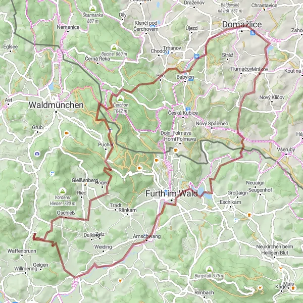
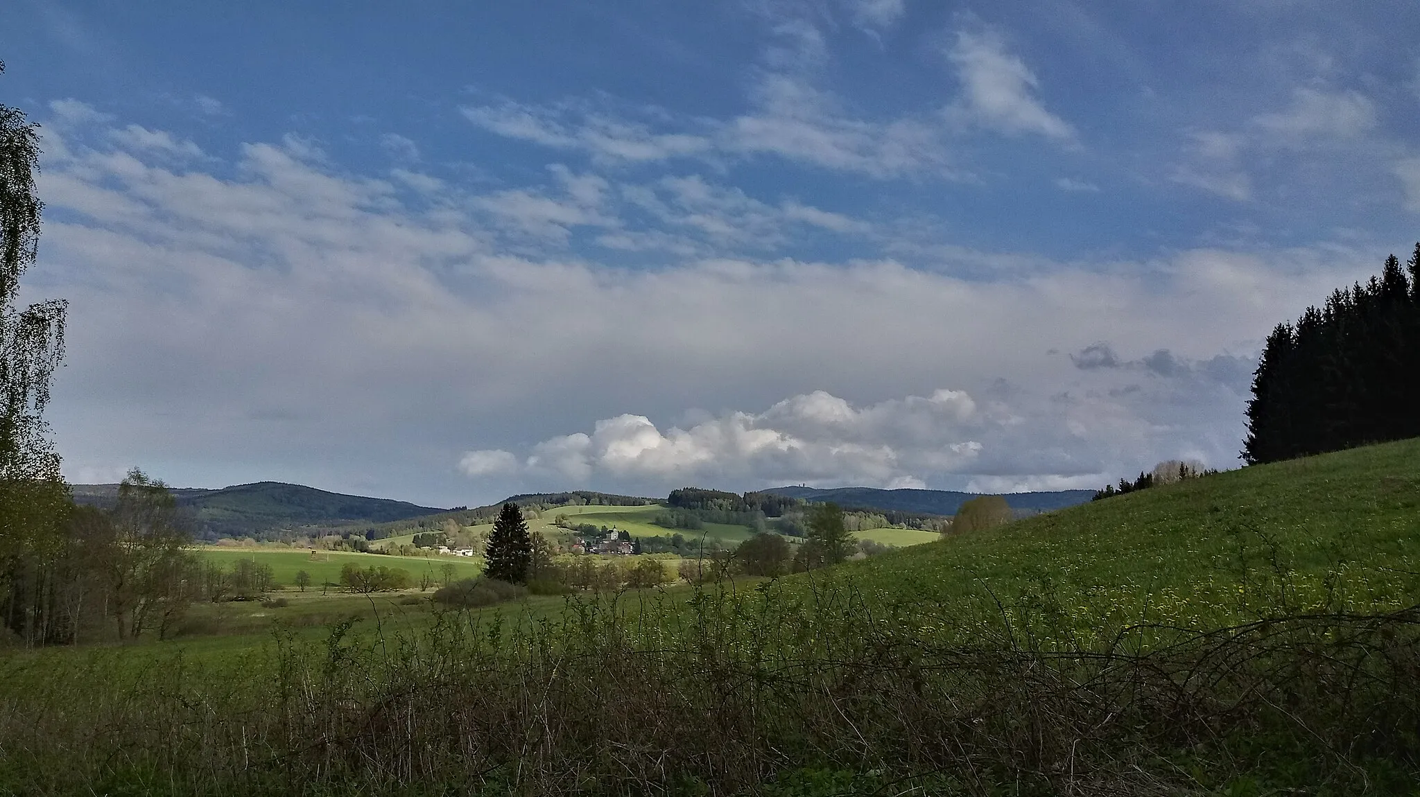
This 85 km gravel cycling route near Waffenbrunn takes you on a challenging adventure through diverse landscapes. With an elevation gain of 1487 meters, this route demands physical fitness and gravel cycling skills. Experience the thrill of riding through picturesque meadows, conquer the climb up to Čerchov, and explore highlights like Domažlice and Furth im Wald. Enjoy the stunning views and test your limits on this epic gravel loop.
gravel
85 km
1487 m
Tough
Route profile
Highlights on the route
0 km
0 km
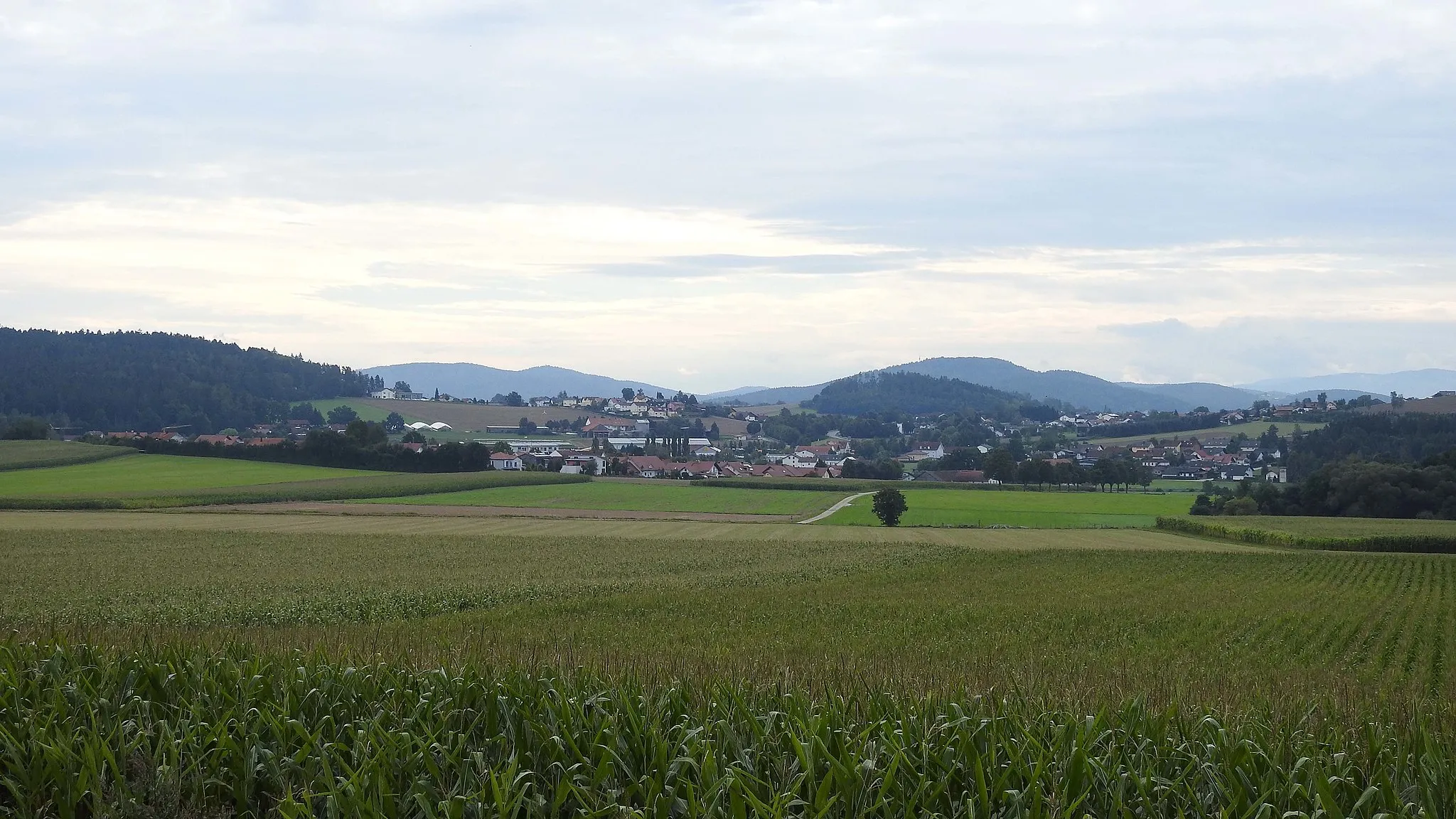
Start: Klessing Village centerWaffenbrunn: Immerse yourself in nature and experience thrilling rides in Waffenbrunn.
Located in the Upper Palatinate region of Germany, Waffenbrunn offers a diverse range of cycling opportunities. Road and gravel cyclists will appreciate the well-kept roads and scenery, which provide the perfect backdrop for enjoyable rides. Waffenbrunn is surrounded by beautiful forests and landscapes, showcasing the area's natural beauty. Additionally, this locality is situated near the Bavarian Forest, an excellent destination for cyclers seeking challenging climbs and stunning views. With its cycling-friendly infrastructure and captivating surroundings, Waffenbrunn is a fantastic place to explore on two wheels.10 km
10 km
LixenriedVillageLixenried is a hidden gem for gravel cyclists, with its peaceful surroundings and scenic trails.
13 km
13 km
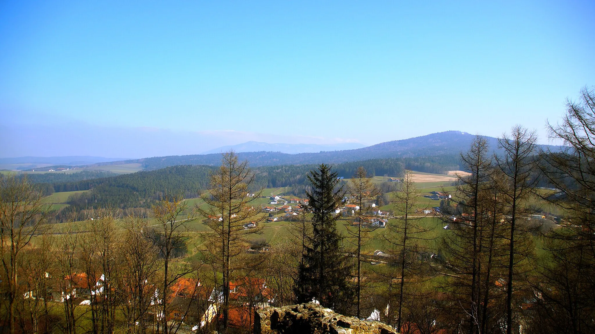
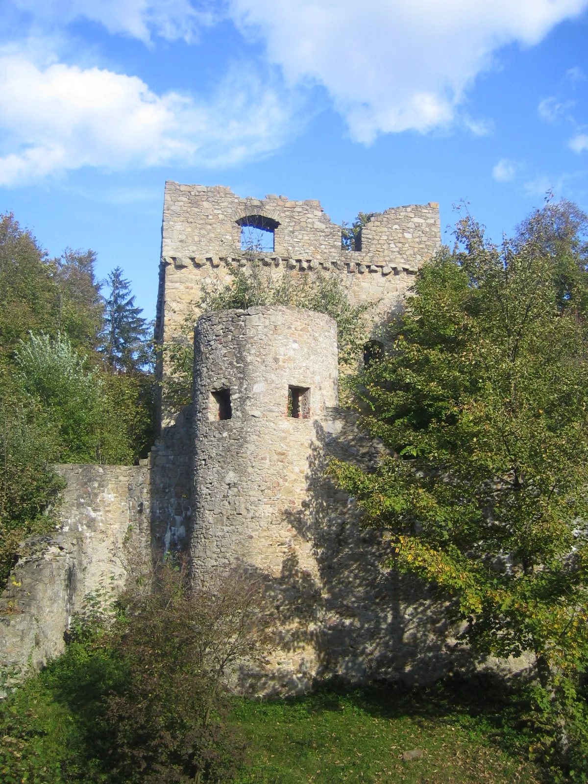
Burgstall627 mPeakExplore the ancient castle ruin of Burgstall, offering picturesque views and a touch of history.
25 km
25 km
Čerchov1042 mPeakConquer the Čerchov peak, the highest point of the route, and enjoy panoramic vistas of the surrounding landscapes.
33 km
33 km
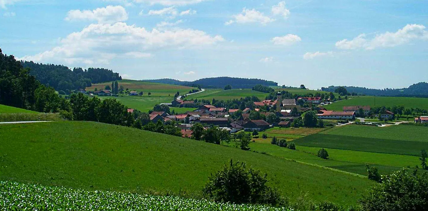
BabylonVillageBabylon surprises with its enchanting beauty, intertwined with nature and home to majestic landmarks.
40 km
40 km
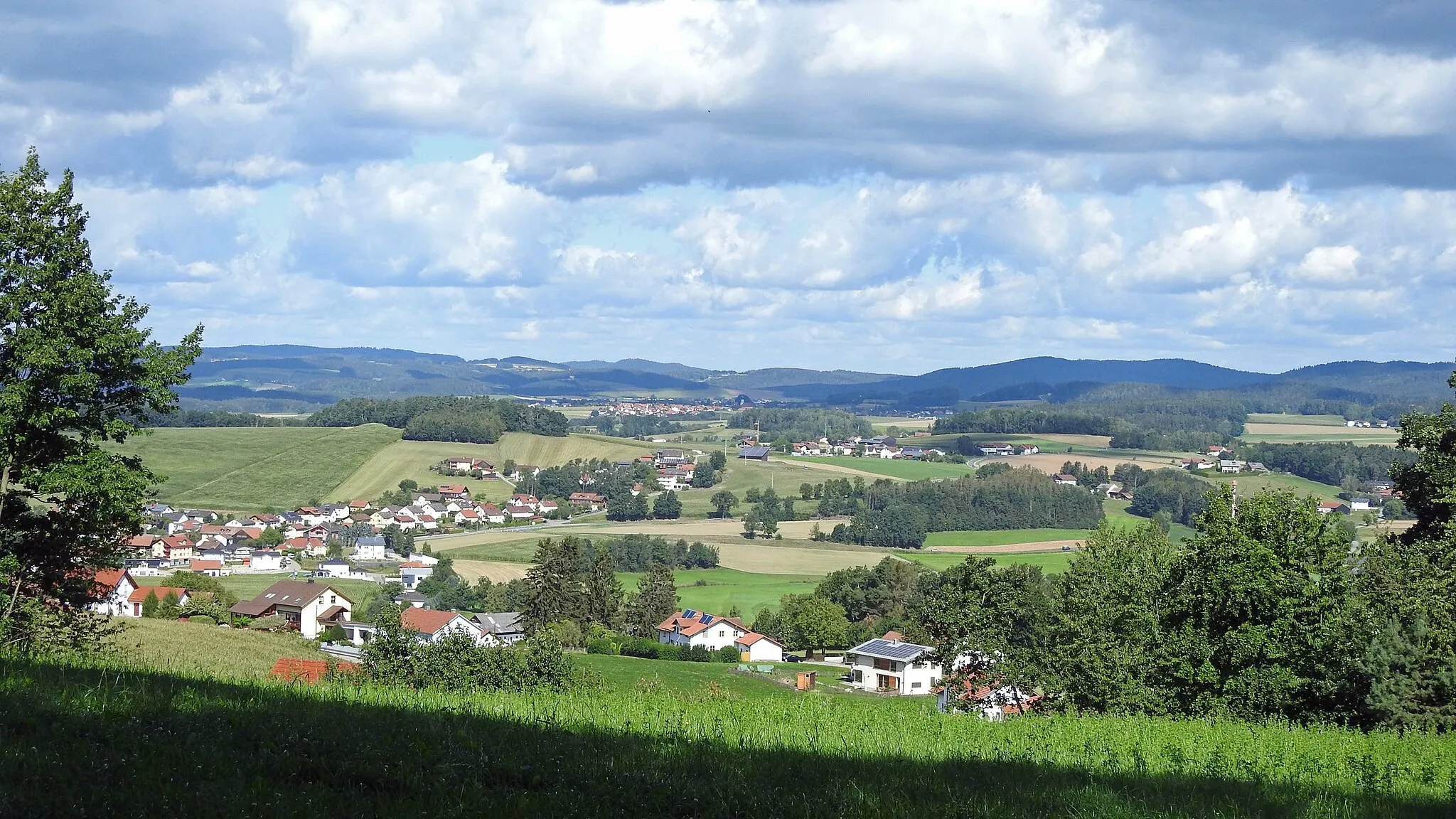
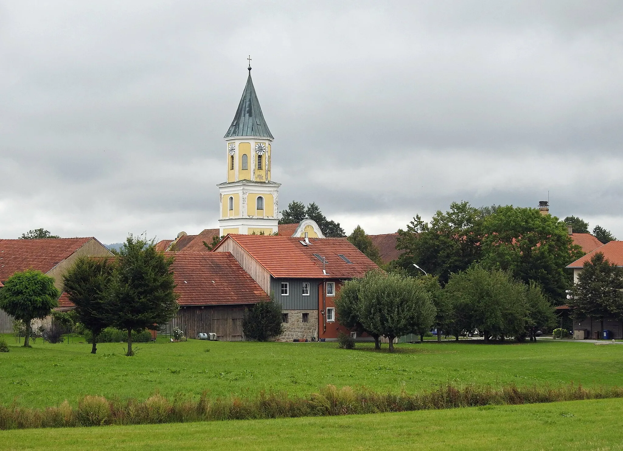
DomažliceTownDomažlice offers rich historical and cultural heritage, including well-preserved medieval buildings and charming streets worth exploring.
48 km
48 km
Přední Vrchovo557 mPeakPřední Vrchovo rewards cyclists with scenic trails, surrounded by untouched nature and breathtaking views.
65 km
65 km
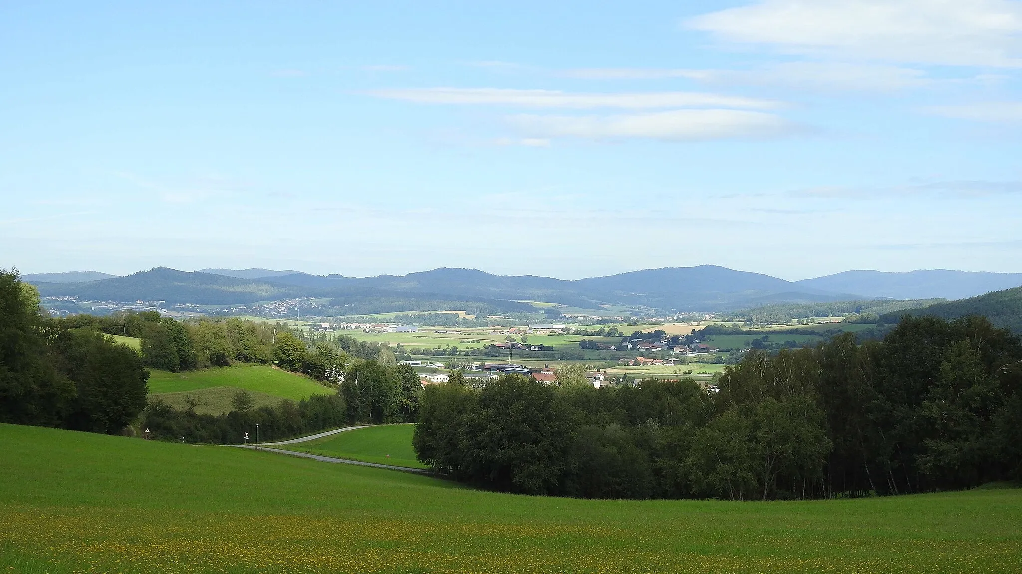
Furth im WaldTownFurth im Wald captivates visitors with its unique blend of nature, history, and cultural attractions.
77 km
77 km
Feuerstein413 mPeakFeuerstein, known for its panoramic vistas and awe-inspiring trails, is a highlight of this gravel loop.
85 km
85 km
Finish: Klessing Village centerWaffenbrunn: Immerse yourself in nature and experience thrilling rides in Waffenbrunn.
Cycling routes nearby: