Tannberg and Wörth an der Donau Road Route
A road cycling route starting from Walderbach
An exciting road route featuring Tannberg and Wörth an der Donau highlights
Map
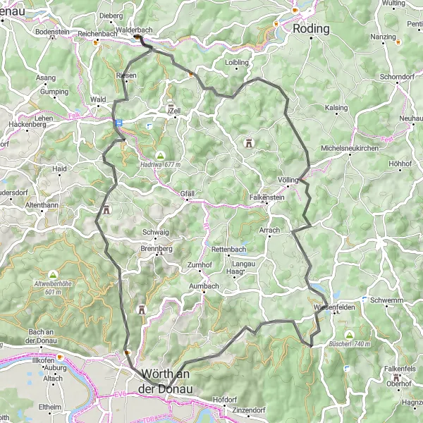
Embark on this epic road route that takes you through beautiful landscapes and includes highlights such as Tannberg and Wörth an der Donau. With a total ascent of 1360 meters and a distance of 71 kilometers, this route offers a challenging adventure for experienced cyclists. Enjoy the scenic views from Tannberg and explore the cultural attractions of Wörth an der Donau. This route is perfect for road cycling enthusiasts seeking a thrilling and rewarding journey.
road
71 km
1360 m
Tough
Route profile
Highlights on the route
0 km
0 km
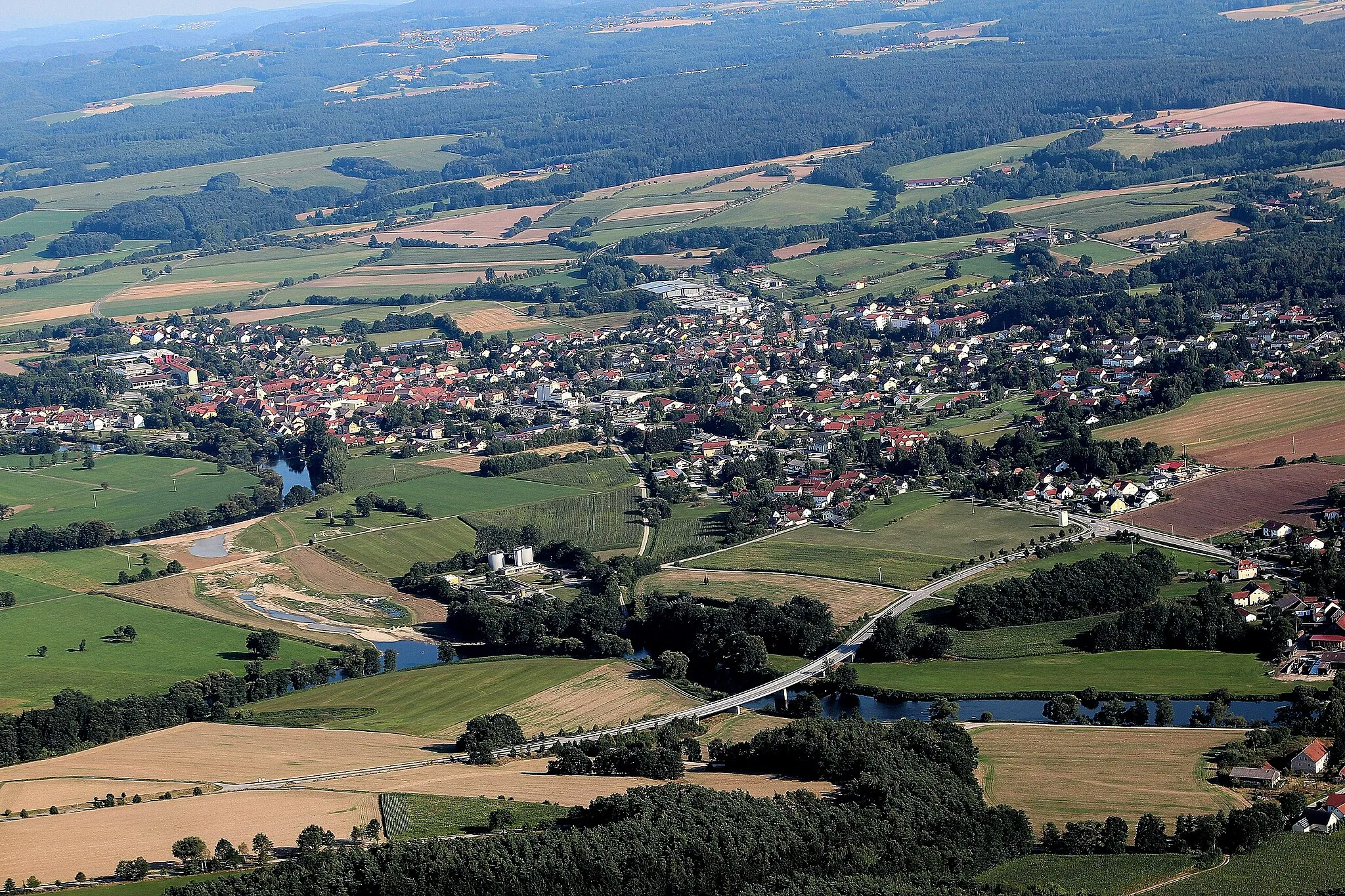
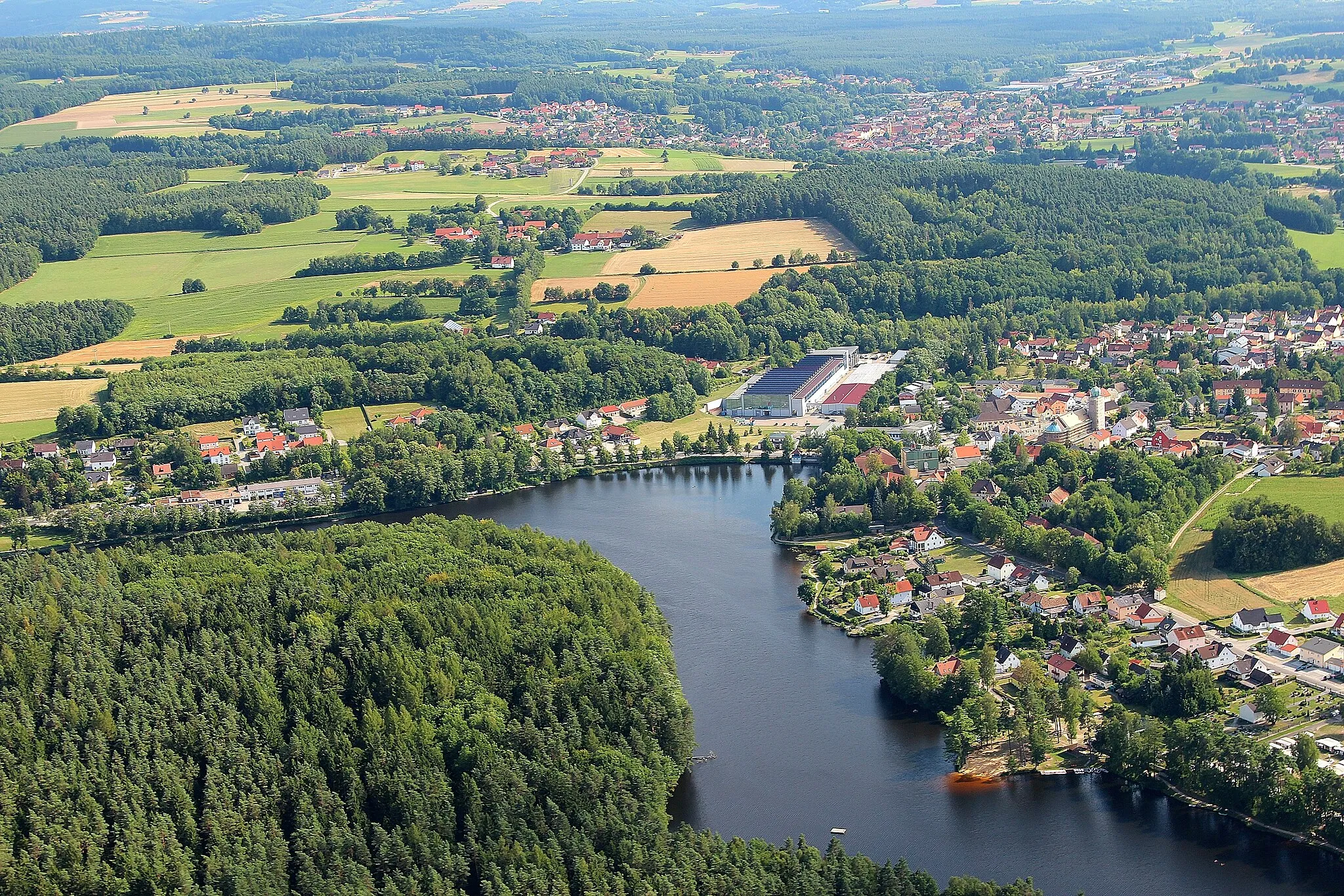
Start: Walderbach Village centerWalderbach: Tranquil village amidst rolling hills and scenic landscapes.
Walderbach is a small village in Germany, located in the Oberpfalz region. From the perspective of a road and gravel cyclist, Walderbach offers a quiet and scenic cycling experience. The village is surrounded by rolling hills and beautiful landscapes, ideal for leisurely rides or more challenging climbs. Nearby, cyclists can find the Falkenfels Castle, a popular destination for tourists and a great spot to take in the panoramic views. With its peaceful atmosphere and natural beauty, Walderbach is a suitable destination for cyclists looking to explore the Oberpfalz region.4 km
4 km
Tannberg505 mPeakPass by Tannberg and enjoy the serene natural surroundings. Take a moment to appreciate the tranquility of this hidden gem before continuing your ride.
10 km
10 km
ZimmeringVillageStop at Zimmering and take a refreshing break at one of the local cafes. The town is known for its charming architecture and friendly locals.
28 km
28 km
WiesenfeldenVillageMake a stop in Wiesenfelden and visit the local church, known for its stunning architecture and historical significance. Take a leisurely stroll through the town's charming streets.
31 km
31 km
Kobelberg703 mPeakKobelberg offers panoramic views of the surrounding landscape and is a popular spot for cyclists to enjoy a peaceful moment. Take a photo at the viewpoint to capture the beauty of the area.
42 km
42 km
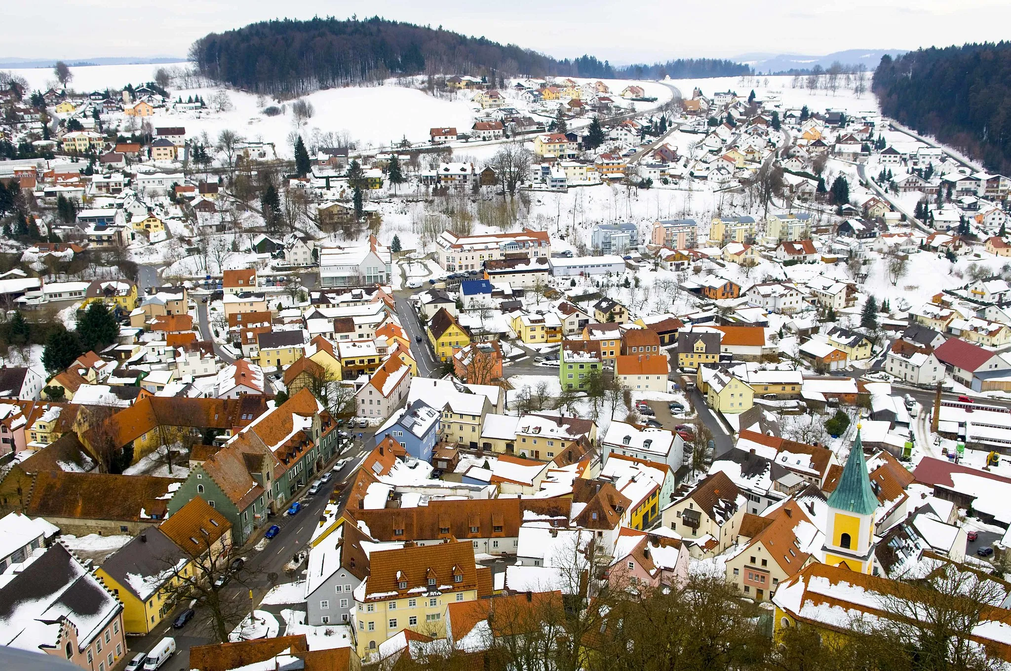
Wörth an der DonauTownWörth an der Donau is a beautiful town with a rich history and cultural heritage. Explore the medieval castle and wander through the charming streets lined with traditional Bavarian houses.
43 km
43 km
Schloßberg380 mPeakDiscover the hidden treasures of Schloßberg, including the ruins of Burgruine Siegenstein. Enjoy the panoramic views from the top and imagine life in medieval times.
56 km
56 km
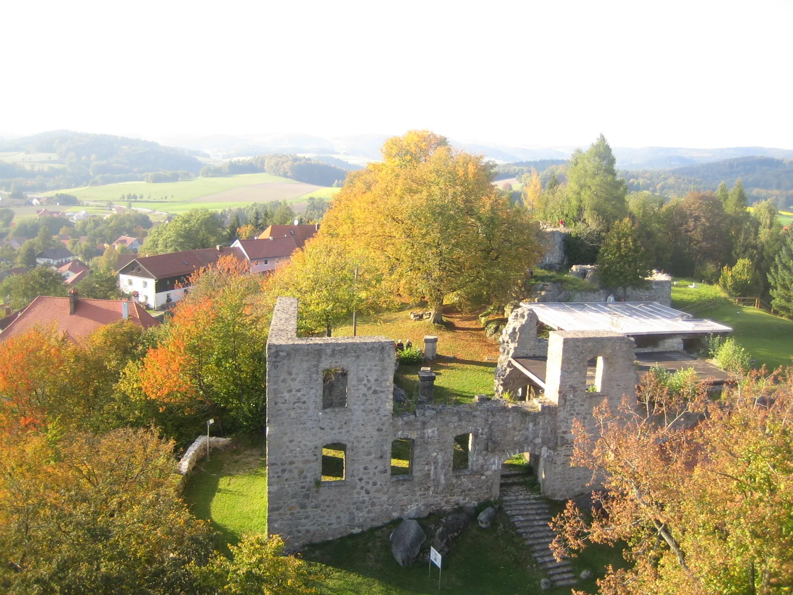
Burgruine SiegensteinCastleBurgruine Siegenstein is a legendary spot for cyclists and history enthusiasts. Explore the ruins and learn about the fascinating stories behind this ancient castle.
66 km
66 km
Steinberg582 mPeakSavor the challenge of conquering Steinberg, a famous cycling spot known for its steep and scenic routes. Take in the breathtaking views as you reach the summit.
71 km
71 km
Finish: Walderbach Village centerWalderbach: Tranquil village amidst rolling hills and scenic landscapes.
Cycling routes from Walderbach:
Walderbach Gravel Loop Walderbach to Neubäu am See Loop Scenic Tour around Walderbach Walderbach Gravel Adventure Walderbach to Martinsneukirchen Loop Hirtenberg and Schlossbergturm Gravel Route Tannberg and Wörth an der Donau Road Route Geilersberg and Stockberg Gravel Route Nittenau and Neubäu am See Road Route Gravel Loop from Walderbach Oberpfalz Gravel Adventure
Cycling routes nearby: