Danube Hill Tour
A road cycling route starting from Worth an der Donau
Explore the rolling hills and scenic villages along the Danube River
Map
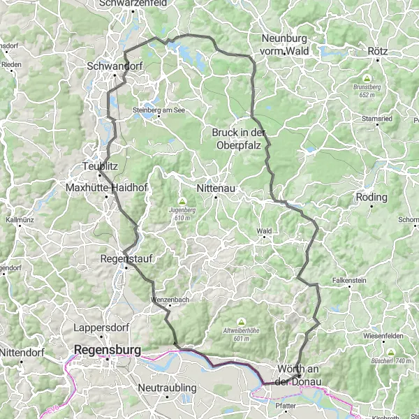
The Danube Hill Tour is a challenging road cycling route that takes you through picturesque villages and stunning landscapes. Starting near Wörth an der Donau, this 129 km route features a total ascent of 1527 meters. The relatively long distance and significant elevation gain make it suitable for well-trained amateur cyclists.
road
129 km
1527 m
Tough
Route profile
Highlights on the route
0 km
0 km
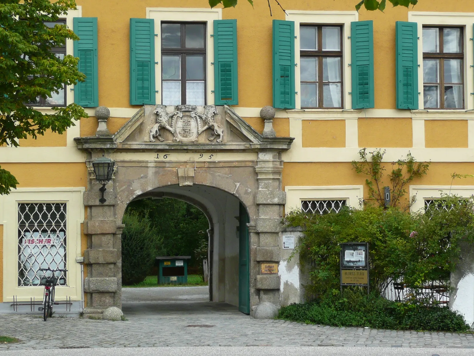
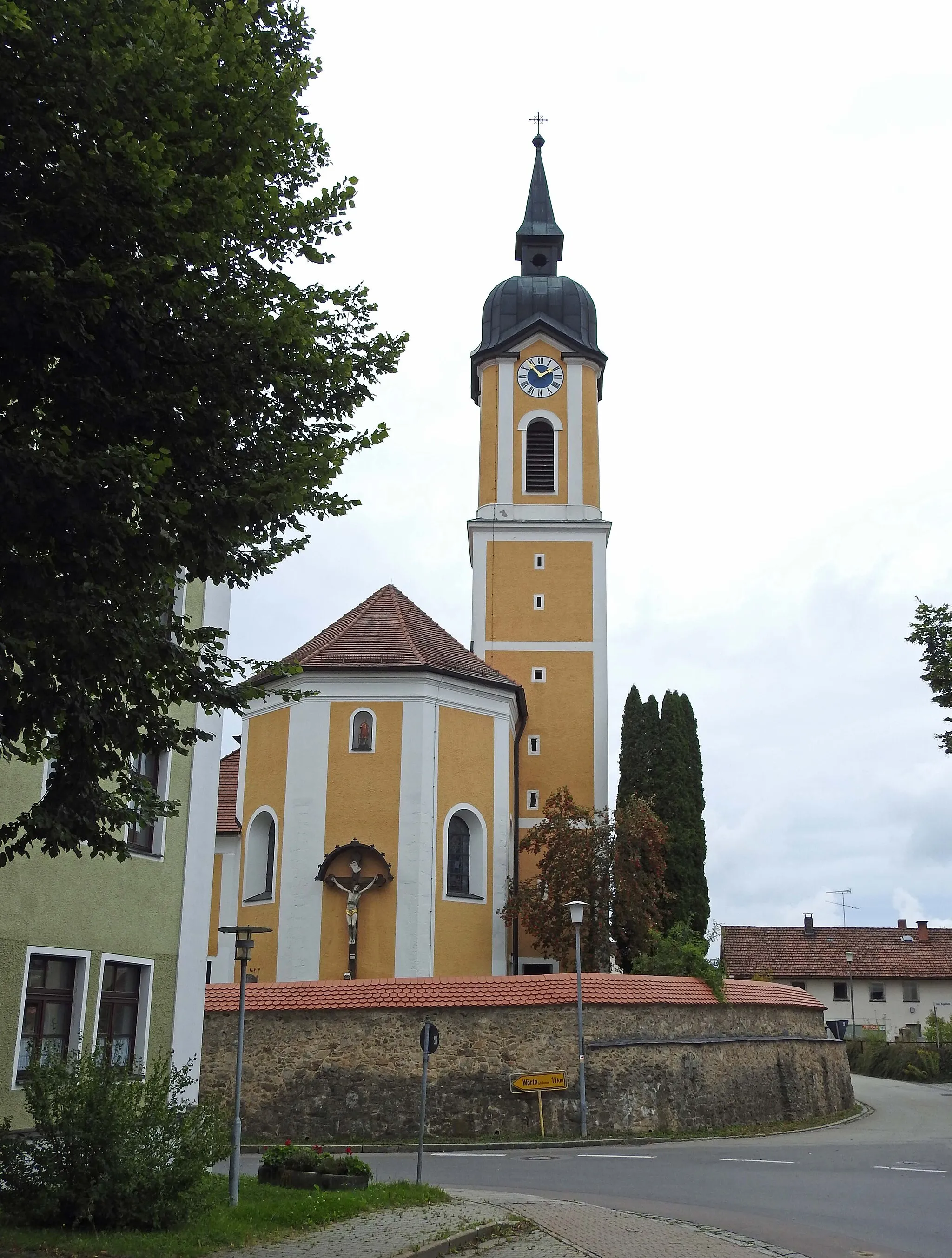
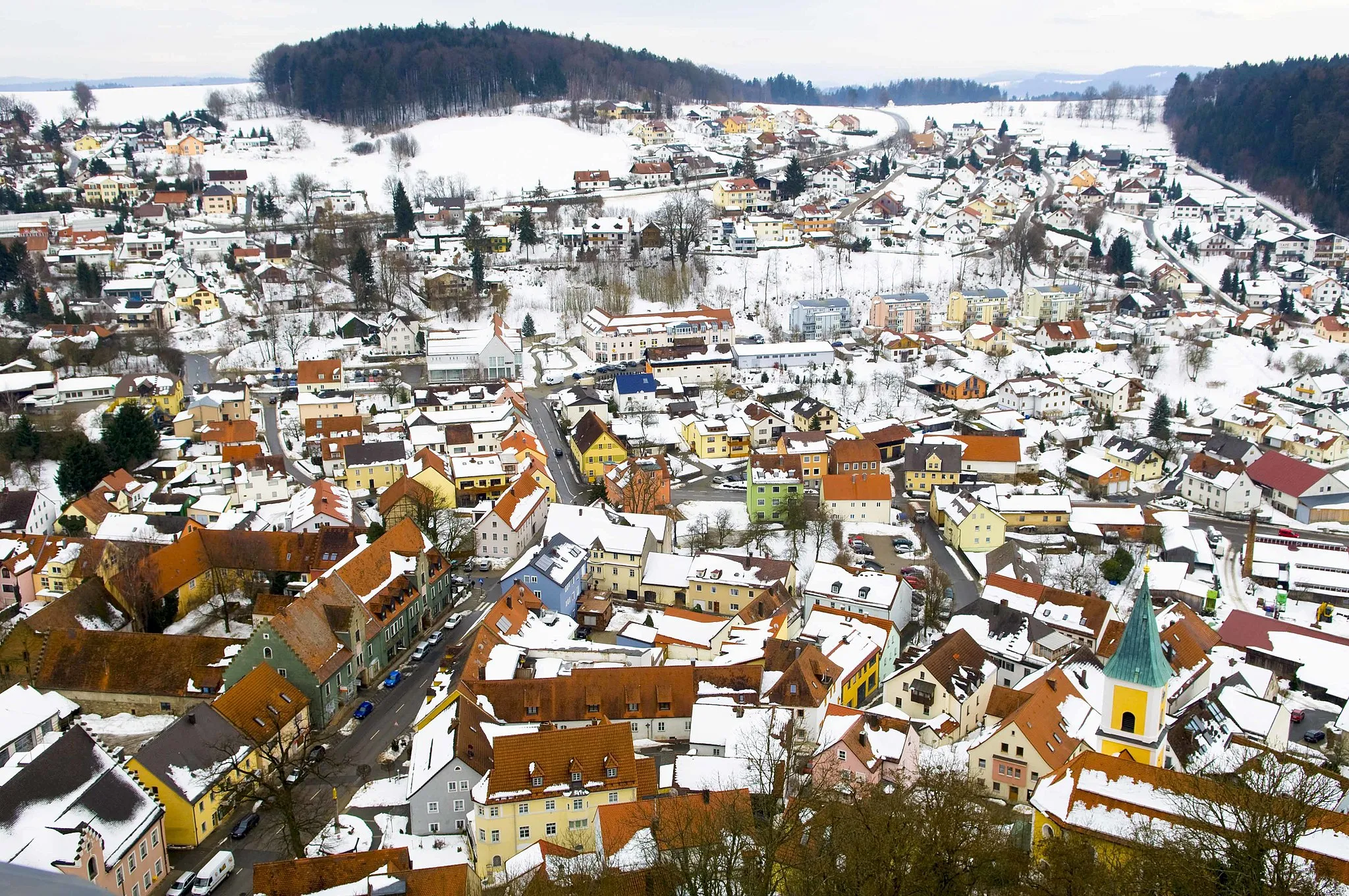
Start: Wörth an der Donau City centerWörth an der Donau: Cycling Paradise in Oberpfalz
Wörth an der Donau in Oberpfalz, Germany is a cyclist's paradise. The town is situated in a beautiful region with rolling hills and charming countryside roads. Road cyclists can enjoy smooth asphalt and challenging climbs, while gravel cyclists can explore the numerous off-road paths and trails. Wörth an der Donau is known as a popular destination for cycling enthusiasts, attracting both local and international riders. The town also hosts various cycling events and races throughout the year. A must-visit cycling spot nearby is the Bavarian Forest National Park, offering breathtaking views and challenging terrain for experienced cyclists.14 km
14 km
Scheuchenberg540 mPeakStop by Scheuchenberg for panoramic views of the Danube River and surrounding countryside.
17 km
17 km
DonaustaufVillageVisit Donaustauf and admire the magnificent Walhalla temple towering above the river.
33 km
33 km
SchlossbergturmViewpointClimb up the Schlossbergturm in Regensburg for breathtaking views of the city.
37 km
37 km
Schloss RamspauCastleExplore the medieval charm of Schloss Ramspau and its beautiful surroundings.
46 km
46 km
PavillonViewpointTake a break at Pavillon and enjoy some refreshments with a view of the Danube River.
46 km
46 km
TeublitzTownVisit Teublitz and discover its historical architecture and quaint streets.
64 km
64 km
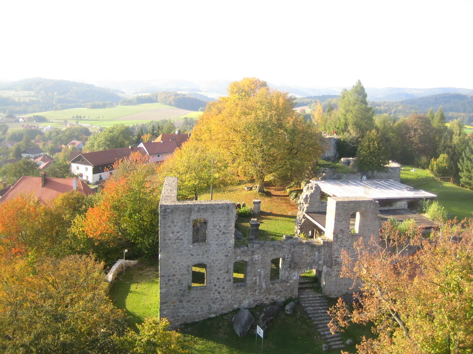
Schloss FronbergCastleStop by Schloss Fronberg and learn about its rich history, dating back to the 12th century.
71 km
71 km
Kulm432 mPeakAdmire the panoramic views from the summit of Kulm, offering a glimpse of the Bavarian Forest.
79 km
79 km
Zanglberg502 mPeakCycle through the scenic Zanglberg with its tranquil landscapes and charming villages.
85 km
85 km
ErzhäuserVillagePass through Erzhäuser and enjoy the quiet countryside roads surrounded by pastoral beauty.
101 km
101 km
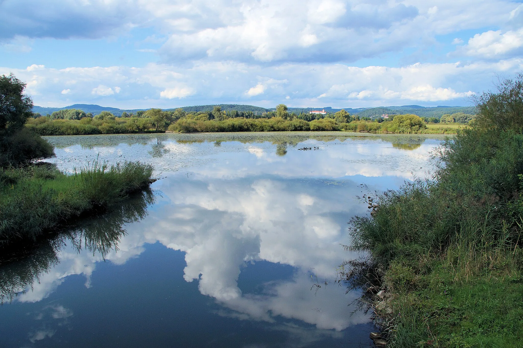
WalderbachVillageStop by Walderbach to stroll along the banks of the Danube River and soak in picturesque views.
109 km
109 km
Geiselberg550 mPeakClimb to the top of Geiselberg where you'll be rewarded with stunning panoramic views of the surrounding countryside.
118 km
118 km
Naturschutzgebiet HölleViewpointDiscover the unique flora and fauna of the Naturschutzgebiet Hölle, a nature conservation area.
120 km
120 km
RöhrenhofHamletRest and refuel at Röhrenhof, a cozy countryside inn offering delicious local cuisine.
128 km
128 km
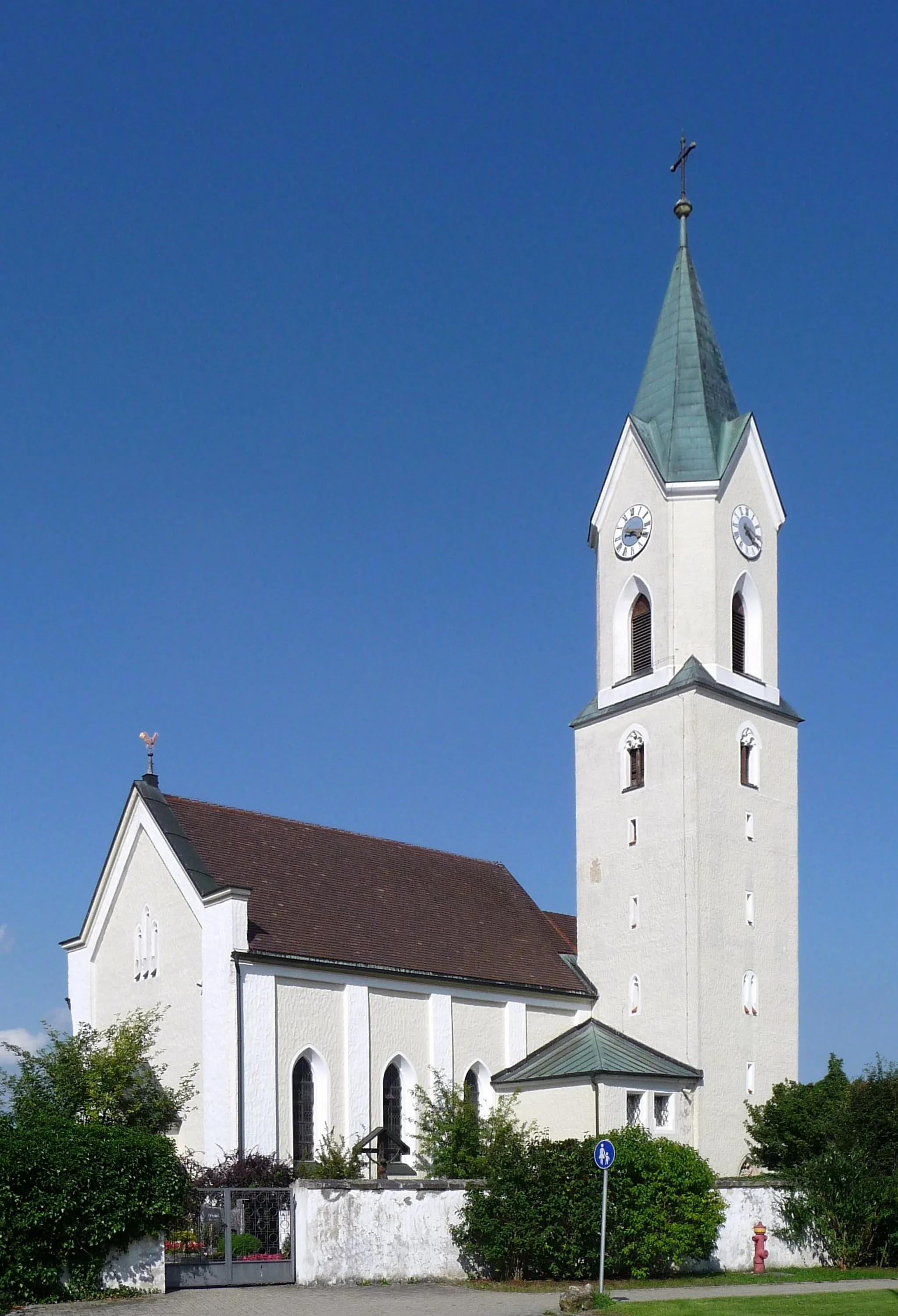
EidenzellHamletPass through the charming village of Eidenzell and take a moment to appreciate its rural beauty.
128 km
128 km
Sauberg443 mPeakVisit Sauberg and explore its quaint streets and historical landmarks.
129 km
129 km
Finish: Wörth an der Donau City centerWörth an der Donau: Cycling Paradise in Oberpfalz
Cycling routes from Worth an der Donau:
Cycling routes nearby: