Ascending the Heights of Hinterweidenthal
A gravel cycling route starting from Hauenstein
Embark on a challenging gravel ride through the scenic Hinterweidenthal region.
Map
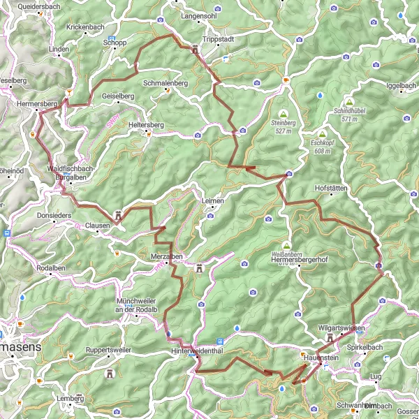
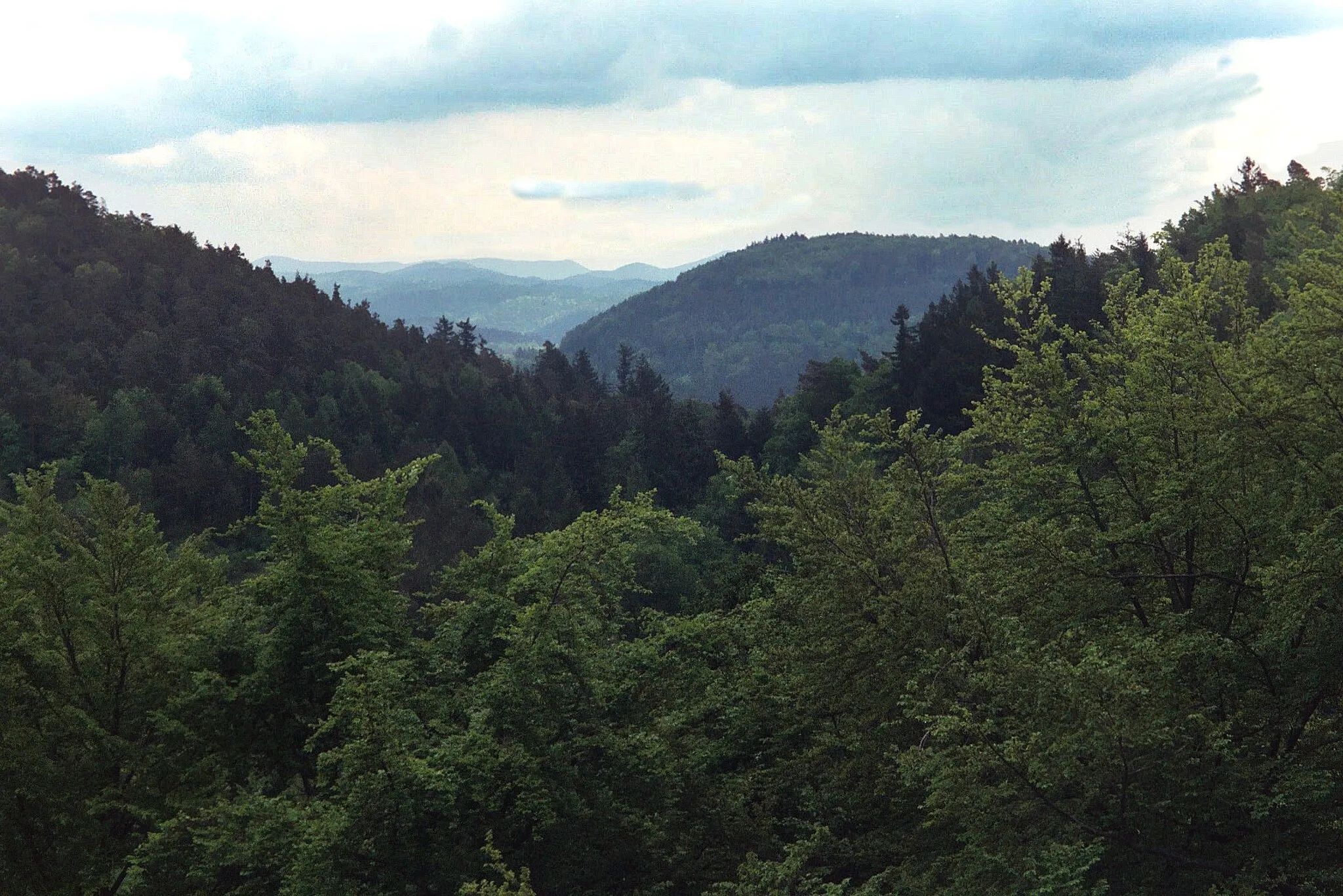
Get ready for a thrilling and physically demanding journey as you navigate the challengs of Hinterweidenthal. With a total ascent of 1806 meters over 88 kilometers, this gravel route will test your endurance. Highlights include the stunning views from Handschuh-Kopf and Schwallhübel, as well as the opportunity to visit historic sites like PLATTE and the Hortenkopf.
gravel
88 km
1806 m
Tough
Route profile
Highlights on the route
0 km
0 km
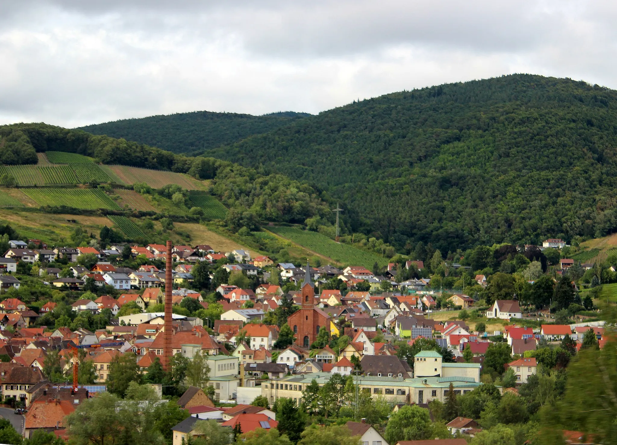
Start: Hauenstein Village centerHauenstein: Charming region with routes through vineyards
Hauenstein, situated in Rheinhessen-Pfalz, Germany, is a charming region for road and gravel cyclists. The area offers diverse routes through vineyards, countryside, and small scenic villages. Cyclists can explore the German Wine Route nearby and experience the vineyard landscapes. While not renowned for legendary climbs, Hauenstein ensures scenic rides with moderate hills and plenty of opportunities to indulge in local wine and culinary delights.14 km
14 km
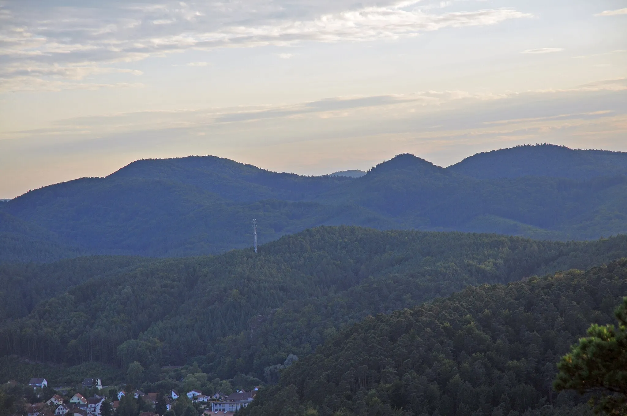
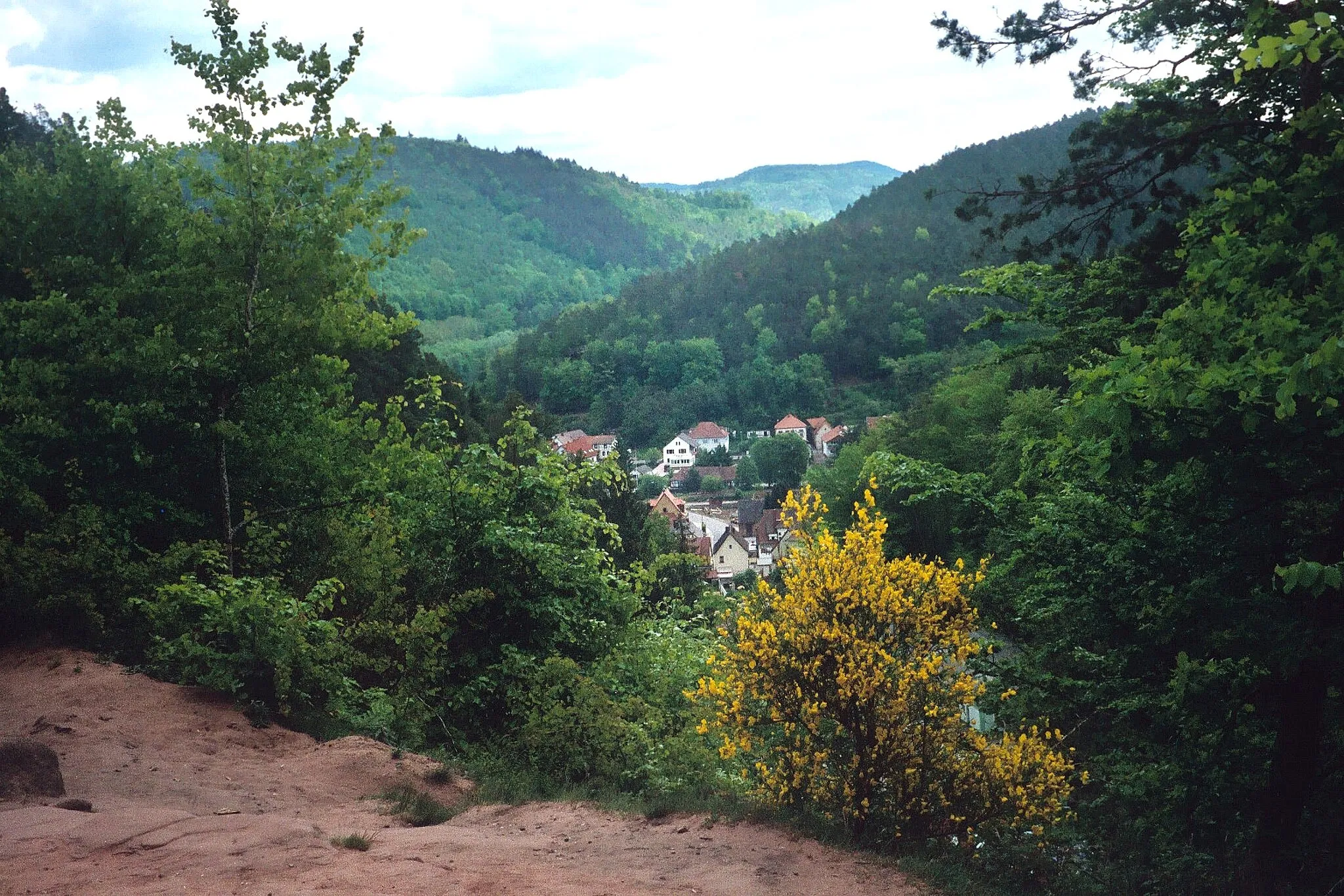
HinterweidenthalVillageMarvel at the beautiful nature surrounding Hinterweidenthal as you ascend into the colorful hills.
14 km
14 km
Handschuh-Kopf329 mPeakTake in the panoramic scenery from Handschuh-Kopf, a peak offering picturesque views of the region.
22 km
22 km
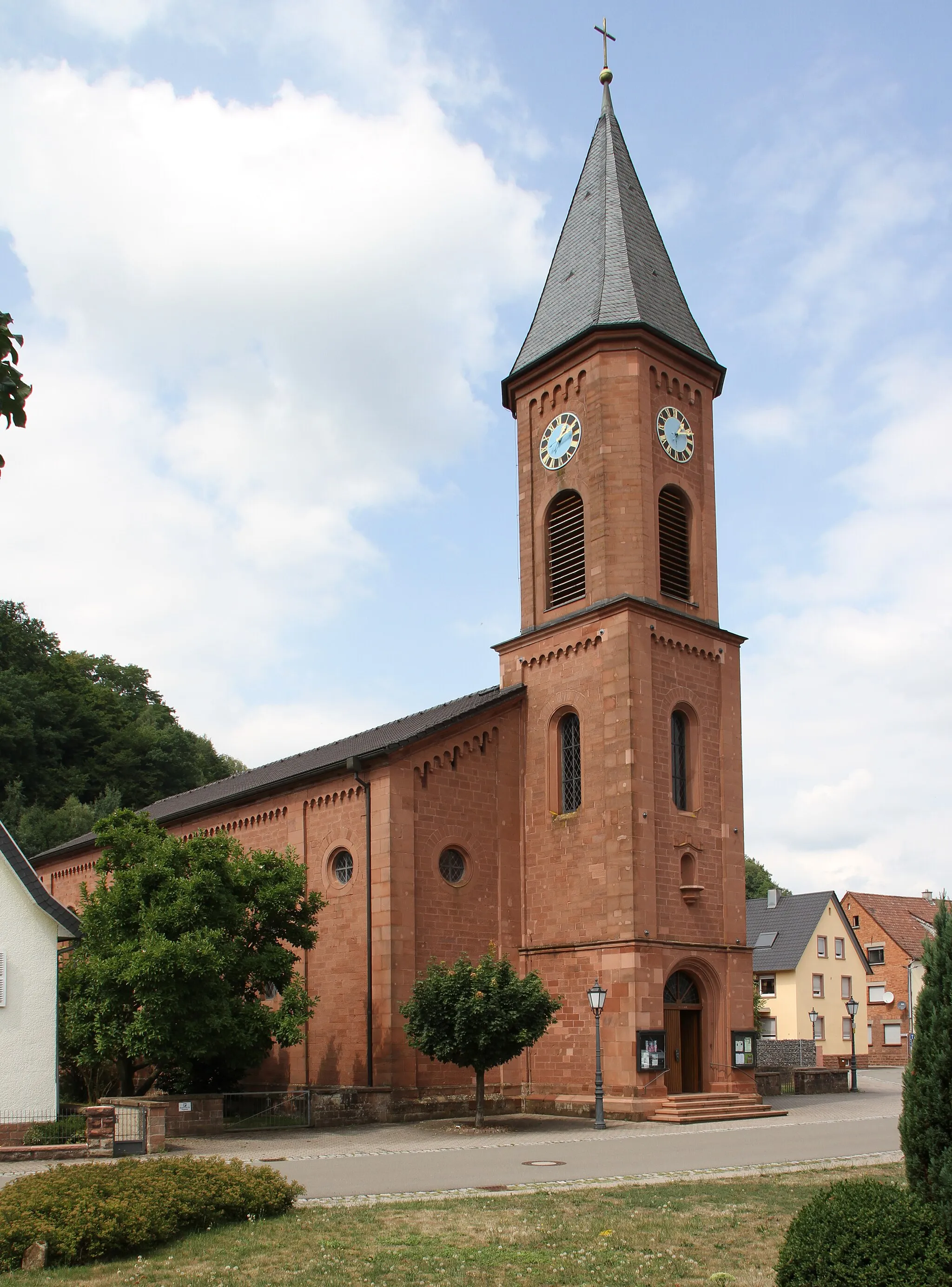
MerzalbenVillageAdmire the beauty of Merzalben, a small village with traditional architecture and a peaceful atmosphere.
31 km
31 km
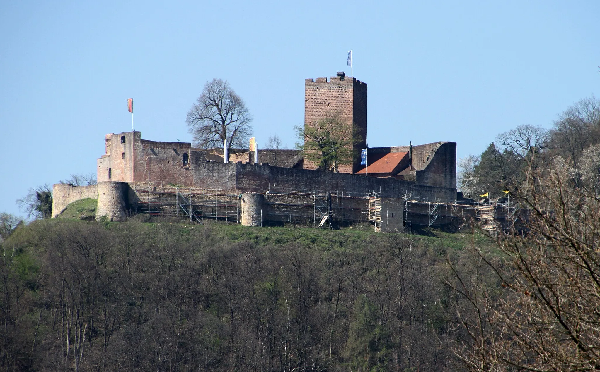
PLATTEViewpointPLATTE is a historic site that lacks cycling-specific attractions but offers a glimpse into the region's past.
41 km
41 km
HermersbergVillageCycle through Hermersberg, a village known for its charming homes and picturesque surroundings.
51 km
51 km
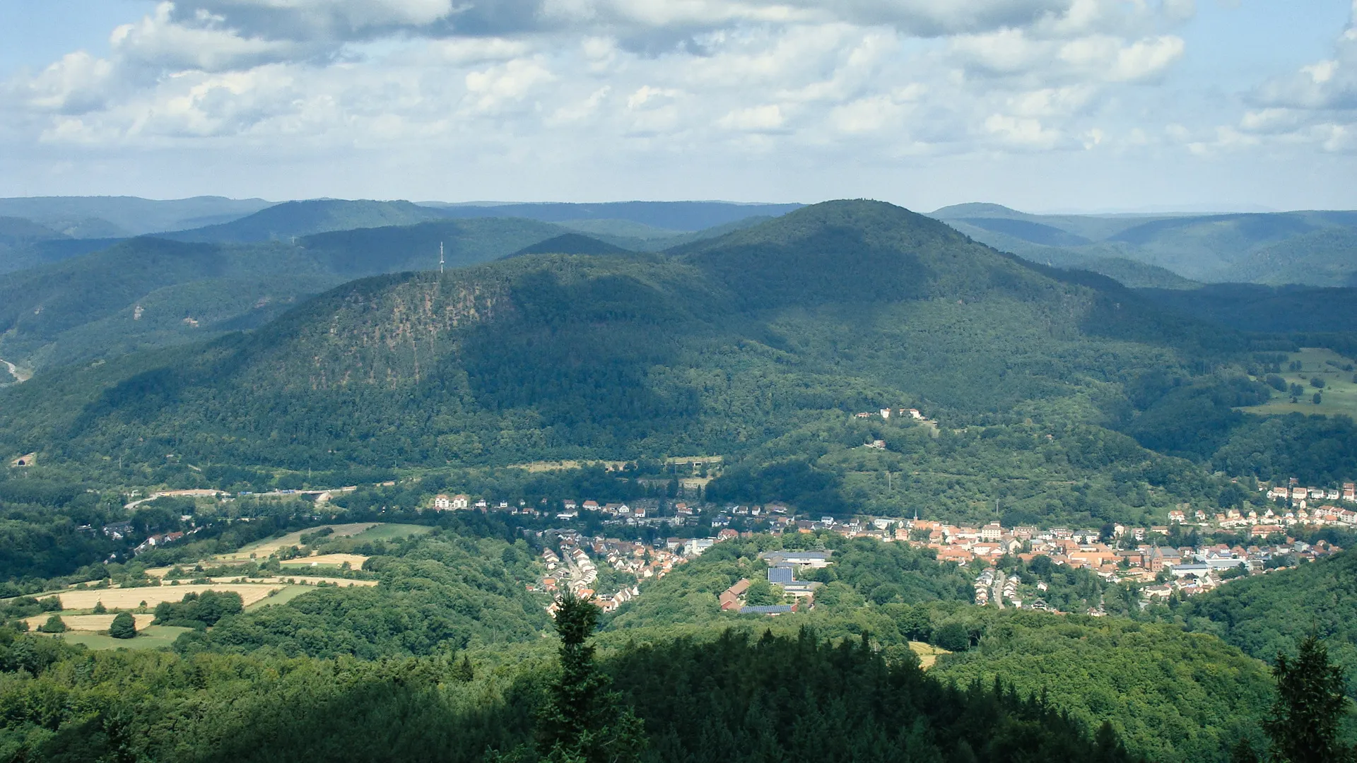
Schwallhübel434 mPeakExplore the enchanting beauty of Schwallhübel, a hill perfect for panoramic views of the rolling landscape.
71 km
71 km
Hortenkopf606 mPeakImmerse yourself in the natural landscapes of Hortenkopf, a peak perfect for outdoor enthusiasts.
85 km
85 km
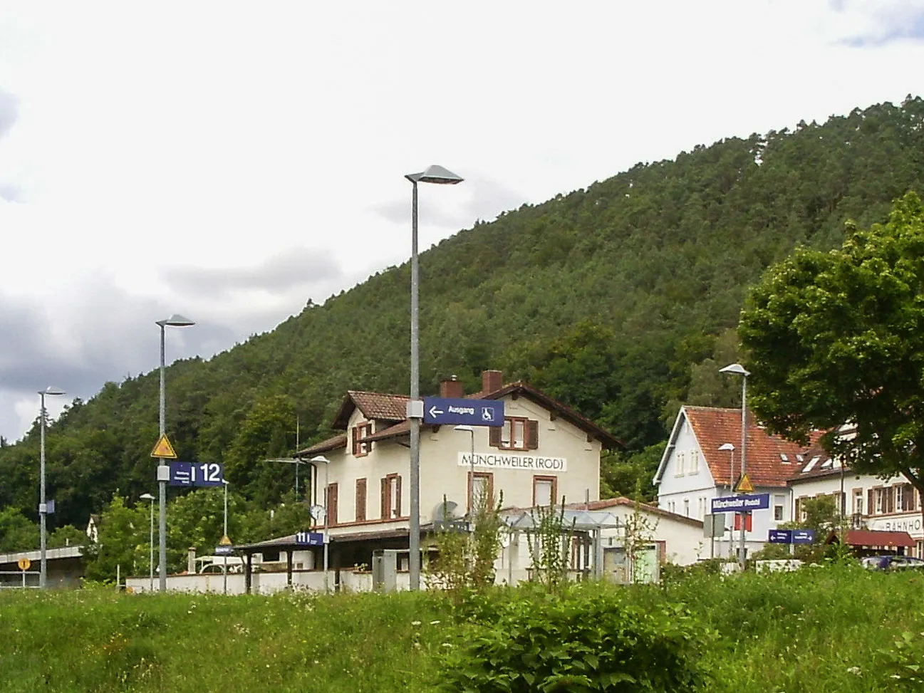
WilgartswiesenVillageDiscover the hidden gem of Wilgartswiesen, a small village nestled amidst breathtaking scenery.
86 km
86 km
Neding336 mPeak ViewpointPass by Neding, a quaint village with limited attractions but a peaceful atmosphere.
88 km
88 km
Finish: Hauenstein Village centerHauenstein: Charming region with routes through vineyards
Cycling routes from Hauenstein:
Cycling routes nearby: