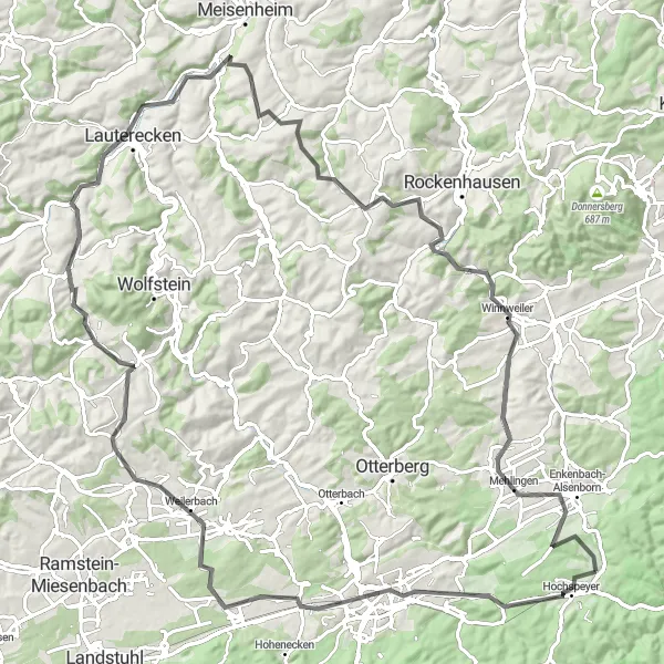
Exploring scenic routes in Rheinhessen-Pfalz, Germany
Cycling routes from Hochspeyer
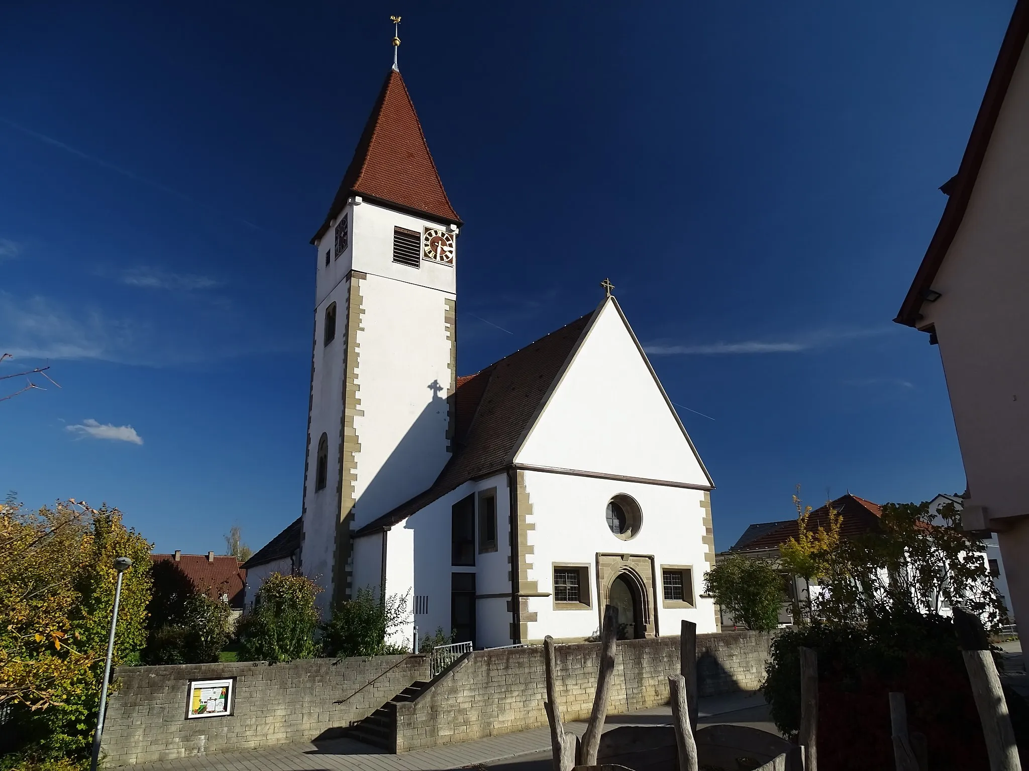
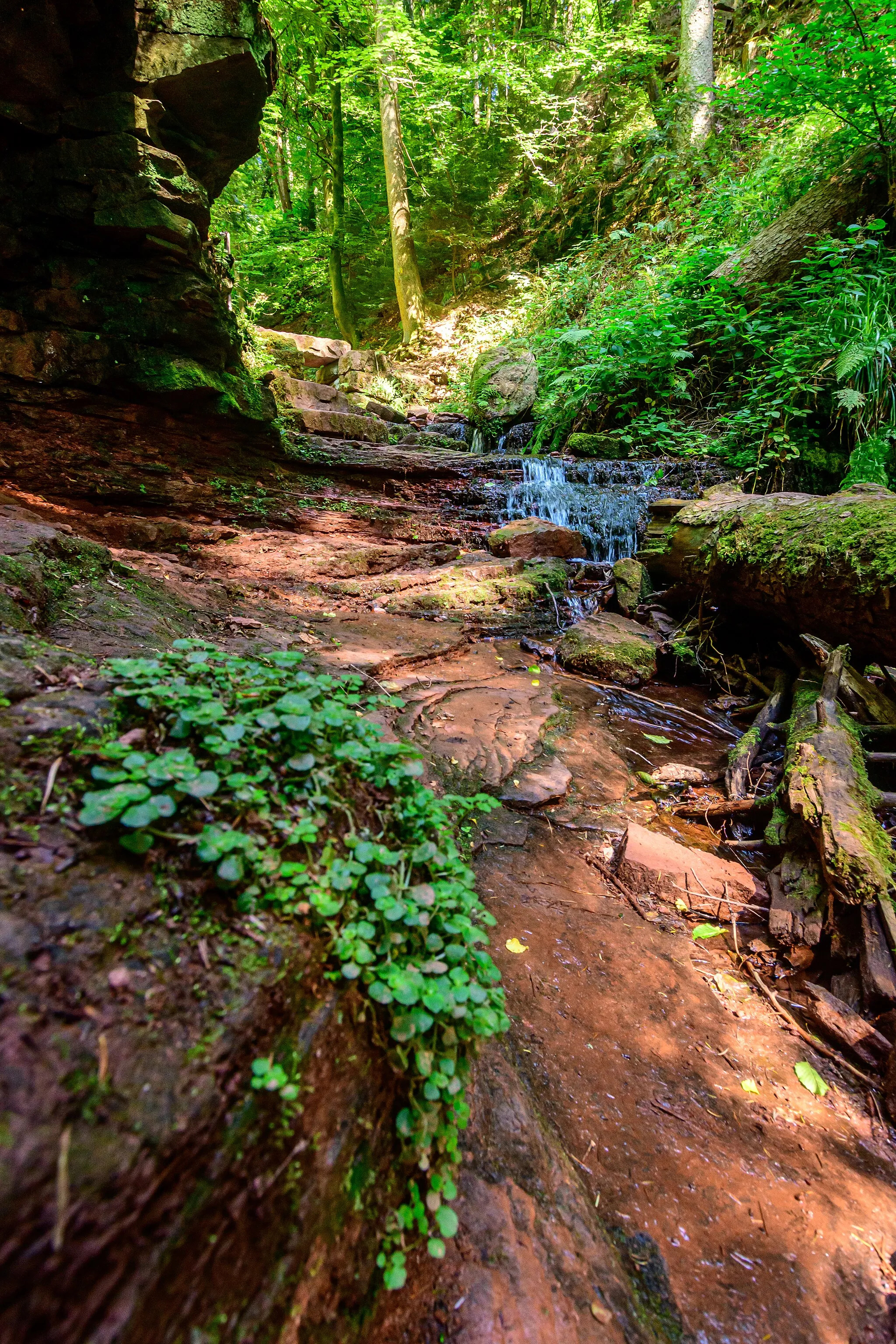
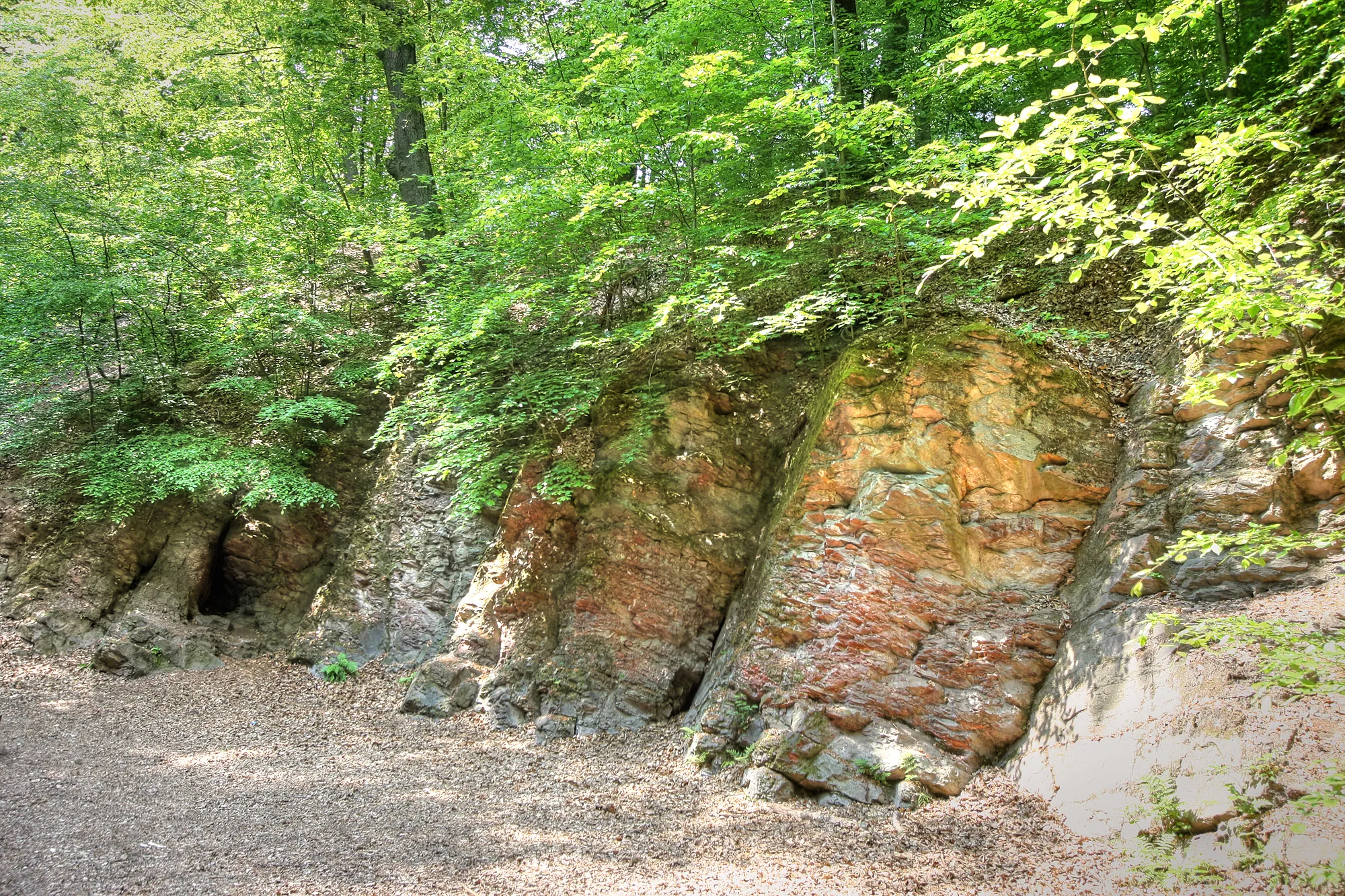
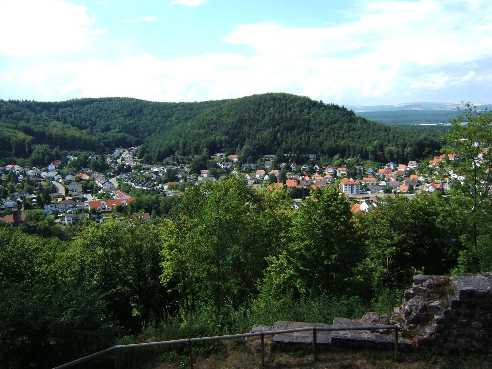
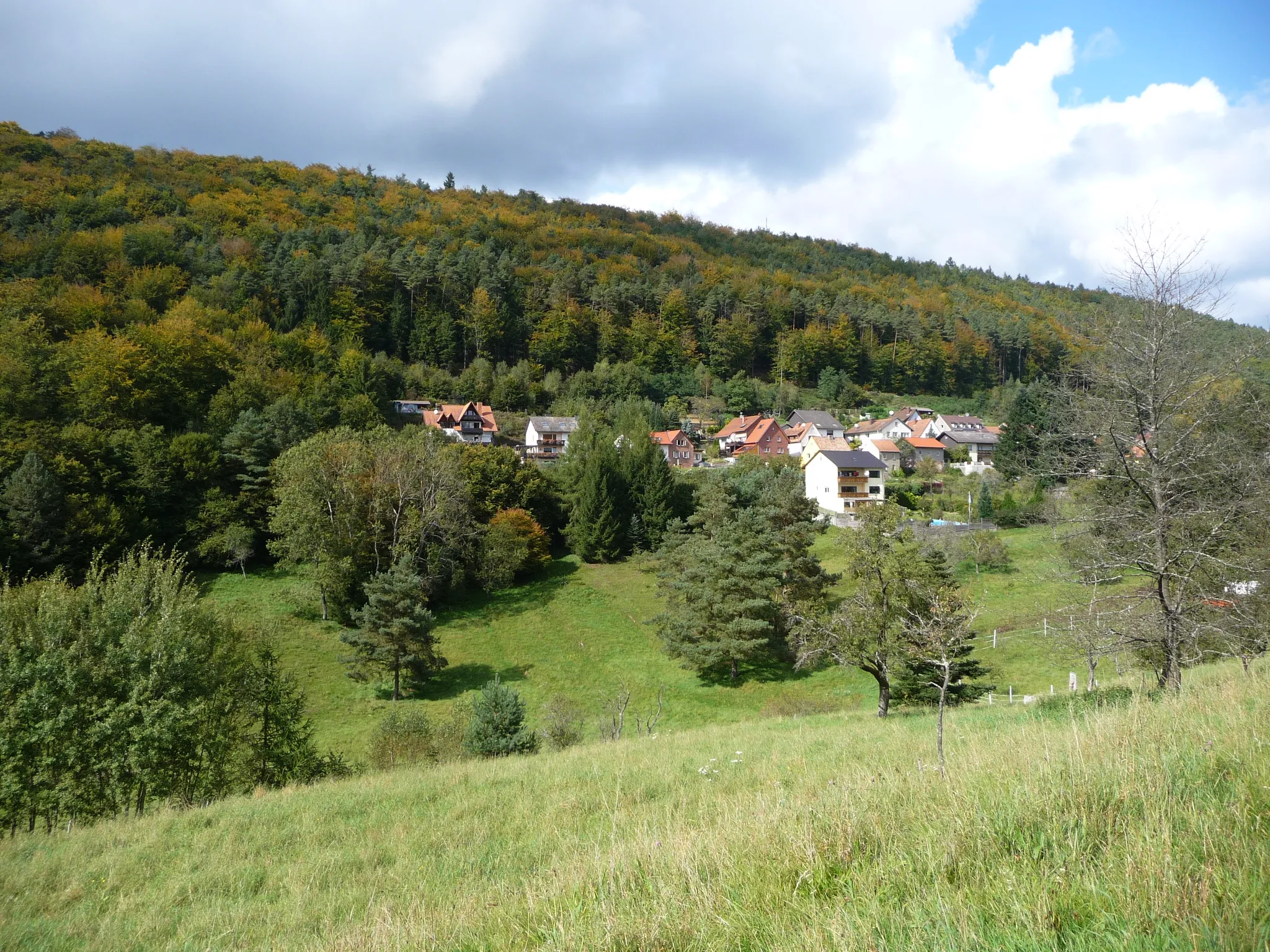
Hochspeyer is a small town located in the Rheinhessen-Pfalz region of Germany. It offers a variety of cycling routes that pass through the beautiful countryside and charming villages. Road cyclists can enjoy smooth paved roads, while gravel cyclists can explore the forest trails surrounding the town. Hochspeyer is not particularly famous for cycling, but it provides a peaceful and scenic environment for cyclists to enjoy. The nearby Palatinate Forest is a popular destination for outdoor enthusiasts, offering various activities such as hiking and mountain biking.
Explore magnificent castles on this scenic gravel loop
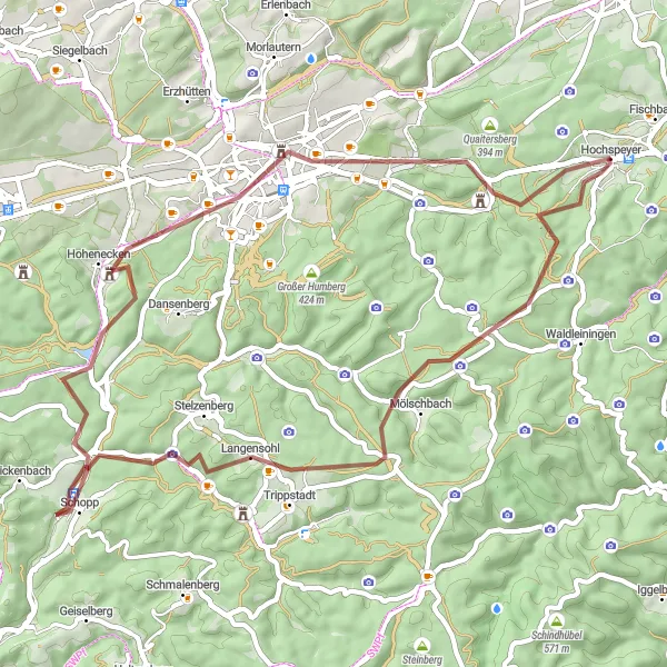
This 52 km gravel cycling route starts from Hochspeyer and takes you through beautiful landscapes and historic sights. With an ascent of 831 meters, this route offers a moderate challenge for gravel enthusiasts. Highlights along the route include Trippstadt, Nabenberg, and the impressive Kaiserpfalz. Explore the charming town of Schopp and enjoy the panoramic views from the Rummelberg. Don't miss the opportunity to visit the Burg Beilstein, a magnificent castle with a rich history.
Embark on an adventurous gravel ride through the picturesque countryside near Hochspeyer.
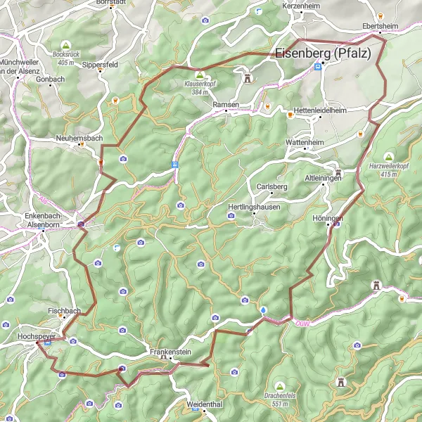
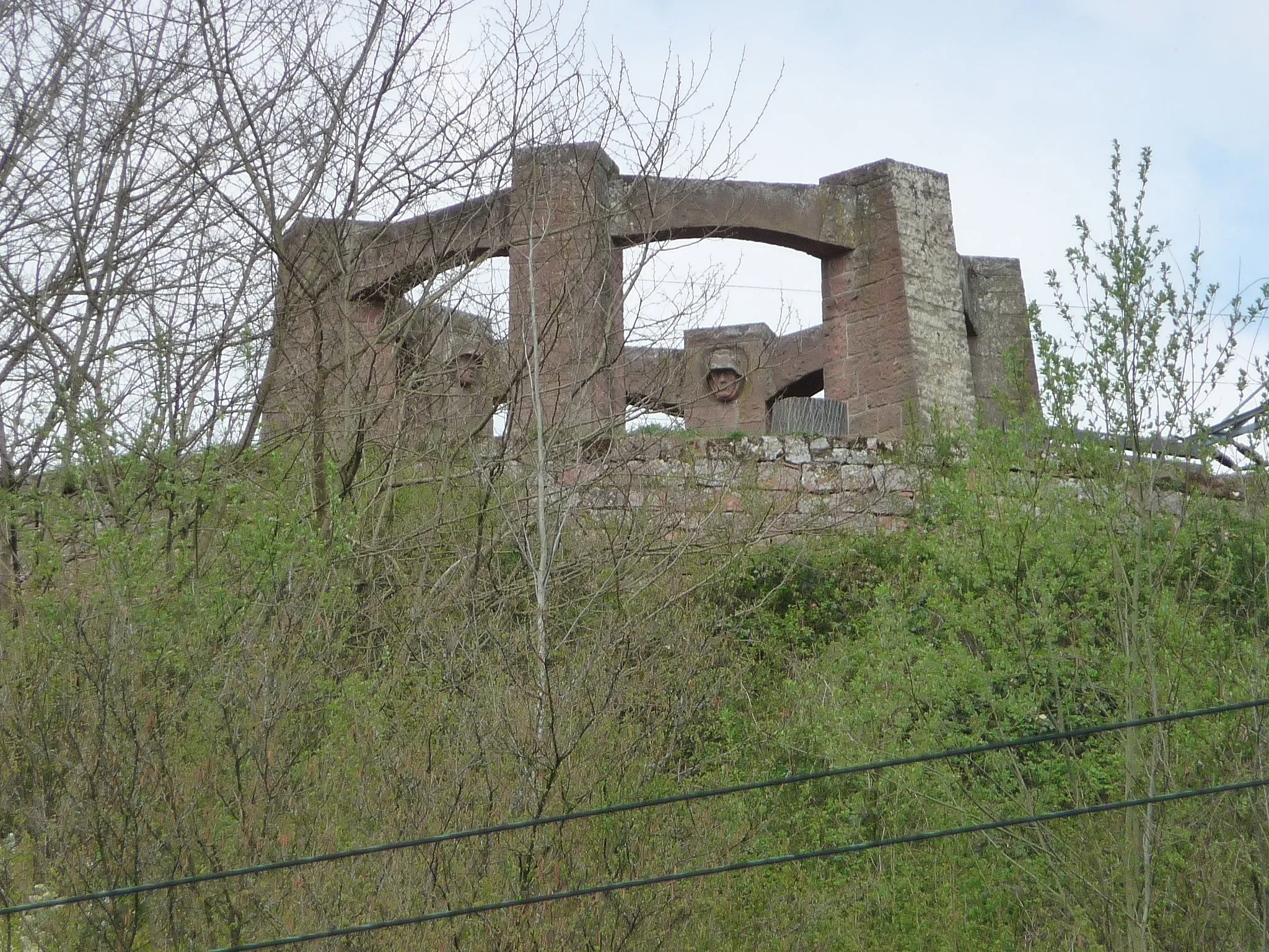
Escape the beaten path and discover the scenic beauty of Rheinhessen-Pfalz with this gravel cycling route. The route covers a distance of 63 km and includes an ascent of 1185 m, making it suitable for experienced gravel cyclists. Highlights along the route include Fischbach, a charming village known for its wineries, and Burgruine Frankenstein, the ruins of a medieval castle with stunning vistas.
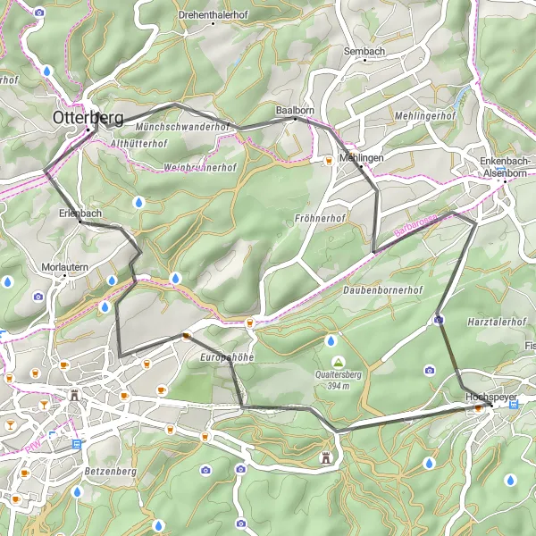
Enkenbach-Alsenborn Loop
Explore picturesque villages and cycle through scenic landscapes on this road cycling route near Hochspeyer.
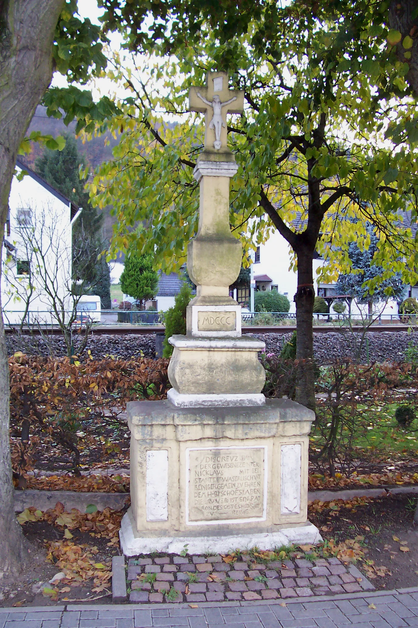
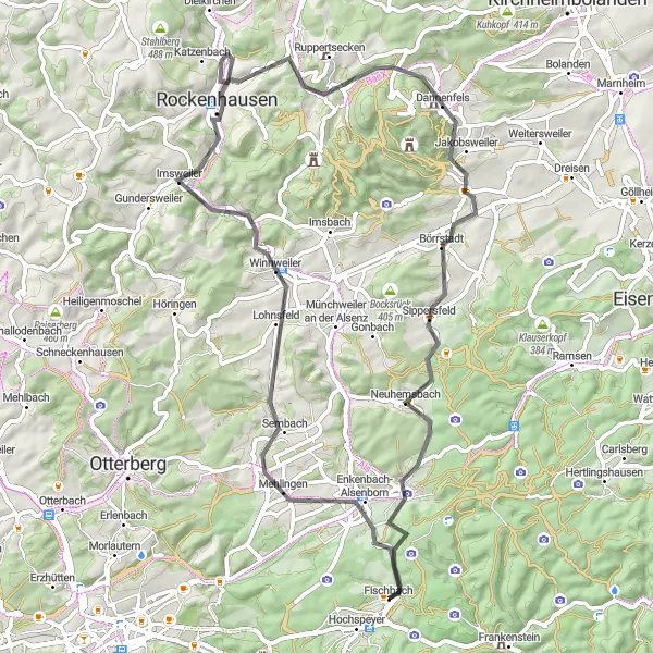
This road cycling route takes you through the charming villages of Enkenbach-Alsenborn, Winnweiler, and Dannenfels, offering picturesque views of the Rheinhessen-Pfalz region. With a moderate difficulty level, it is suitable for well-trained amateur cyclists. The route covers a total distance of 68 km and includes an ascent of 835 m. The highlights along the route include the Kriegerdenkmal, a war memorial in Kriegerdenkmal, and Ritterstein 169 "Müllerstisch", a historical stone marker.
Kaiserslautern Valley Loop
Explore the beautiful Kaiserslautern Valley and ride through picturesque villages on this road cycling route.
This road cycling route takes you through the scenic Kaiserslautern Valley, passing by the charming villages of Kaiserslautern, Weilerbach, and Dörrmoschel. With a moderate difficulty level, it is suitable for well-trained amateur cyclists. The route covers a distance of 106 km and includes an ascent of 1077 m. Highlights along the route include the Aussichtspunkt Rummelshald, a viewpoint with panoramic views, and the Kriegerdenkmal war memorial in Kriegerdenkmal.
Spazierweg am Eiswoog Circuit

Cycle through beautiful vineyards and find tranquility at the Eiswoog lake on this road cycling route.
Experience the beauty of the wine region near Hochspeyer with this road cycling route. The circuit passes through Hochspeyer and Kirchheim an der Weinstraße, offering stunning views of the vineyards. The difficulty level is moderate to challenging, making it suitable for well-trained amateur cyclists. The total distance covered is 65 km, with an ascent of 903 m. Highlights along the route include the Spazierweg am Eiswoog, a scenic path along the Eiswoog lake, and Eckberg, a hilltop with panoramic views.
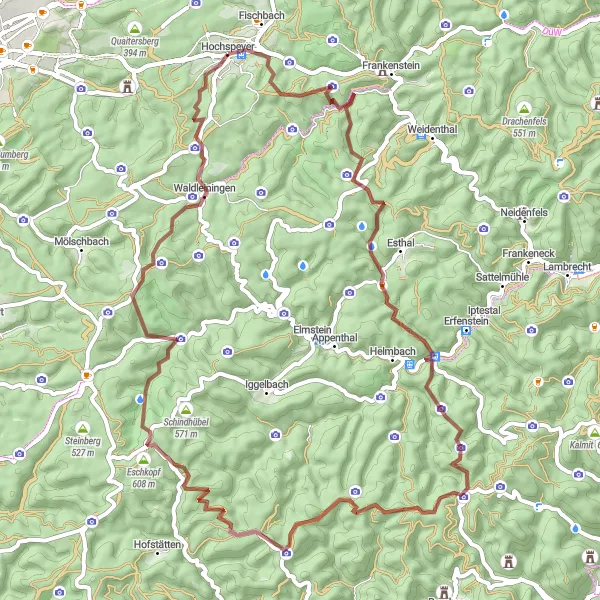
Escape the everyday and immerse yourself in the natural beauty of the Palatinate region on this gravel route.
Experience the breathtaking landscapes, challenging climbs, and rich culture of the Palatinate region on this gravel getaway. With a total ascent of 1507 meters and a distance of 66 kilometers, this route provides a challenging yet rewarding cycling experience. Start your journey in the picturesque village of Hochspeyer and soak in the beauty of the Palatinate forest. Explore the stunning views from Mollenkopf and Steigerkopf, and be amazed by the medieval charm of Burg Breitenstein. Admire the natural beauty of Eschkopf and Speyerbrunn, and challenge your climbing skills on Leiterberg. Finally, don't miss the chance to visit Leutenberger Hütte, a popular spot for hikers and cyclists.
Visit a medieval castle and enjoy scenic views on this shorter road cycling route near Hochspeyer.
Experience a taste of history and admire picturesque landscapes on this shorter road cycling route. The route covers a distance of 34 km and includes an ascent of 518 m, making it suitable for riders of all skill levels. Highlights along the route include Burg Beilstein, a well-preserved medieval castle, and Mehlingen, a charming village known for its scenic beauty.
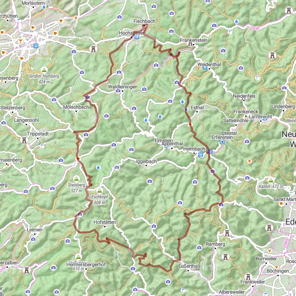
Explore the rugged beauty and rich history of the Palatinate region on this gravel cycling adventure.
Discover the Palatinate region on this challenging gravel route that takes you through picturesque landscapes, historic landmarks, and charming villages. The route offers stunning views, challenging climbs, and opportunities to immerse yourself in the region's fascinating history. With a total ascent of 2060 meters and a distance of 86 kilometers, this route is suitable for experienced cyclists looking for an adventure. Experience the tranquility of Biedenbacherwoog, the panoramic views from Schänzelturm, and the natural beauty of Almersberg. Don't miss the chance to stop at Forsthaus Annweiler and savor the local cuisine. Johanniskreuz and Hochspeyer are also highlights along the route, with their rich cultural heritage and natural attractions. Overall, this route offers a mix of challenge and history, making it a must-try for gravel cyclists.

Explore scenic trails to the summit of Salweidenkopf
This 47 km gravel cycling route starting from Hochspeyer takes you through rugged terrain and beautiful landscapes. With an ascent of 610 meters, this loop offers a moderate challenge for gravel enthusiasts. Highlights along the route include Enkenbach-Alsenborn, Salweidenkopf, and the tranquil Fischbach. Enjoy the peaceful surroundings and immerse yourself in nature on this adventurous gravel loop.
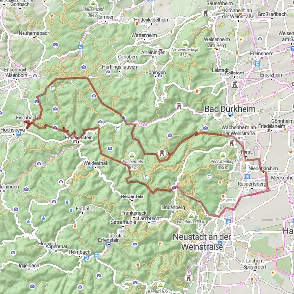
Embark on an epic gravel adventure from Fischbach to Gimmeldingen
This gravel cycling route starts from Fischbach and takes you through the charming villages and scenic landscapes of the region. With a distance of 77 km and a challenging ascent of 1391 meters, this route is perfect for experienced gravel riders. Highlights along the route include Hohe Bühl, Wachenheim an der Weinstraße, and the famous Burgruine Frankenstein. Enjoy the breathtaking views and explore the rich cultural heritage of the area.
Cycling routes nearby:


Nearby regions: