Palatinate Gravel Getaway
A gravel cycling route starting from Hochspeyer
Escape the everyday and immerse yourself in the natural beauty of the Palatinate region on this gravel route.
Map
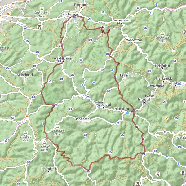
Experience the breathtaking landscapes, challenging climbs, and rich culture of the Palatinate region on this gravel getaway. With a total ascent of 1507 meters and a distance of 66 kilometers, this route provides a challenging yet rewarding cycling experience. Start your journey in the picturesque village of Hochspeyer and soak in the beauty of the Palatinate forest. Explore the stunning views from Mollenkopf and Steigerkopf, and be amazed by the medieval charm of Burg Breitenstein. Admire the natural beauty of Eschkopf and Speyerbrunn, and challenge your climbing skills on Leiterberg. Finally, don't miss the chance to visit Leutenberger Hütte, a popular spot for hikers and cyclists.
gravel
66 km
1507 m
Tough
Route profile
Highlights on the route
0 km
0 km
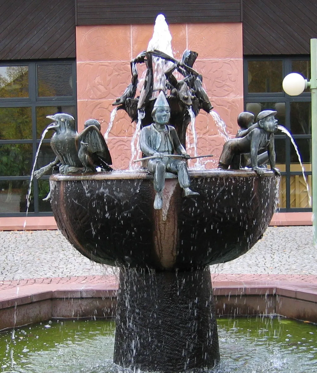
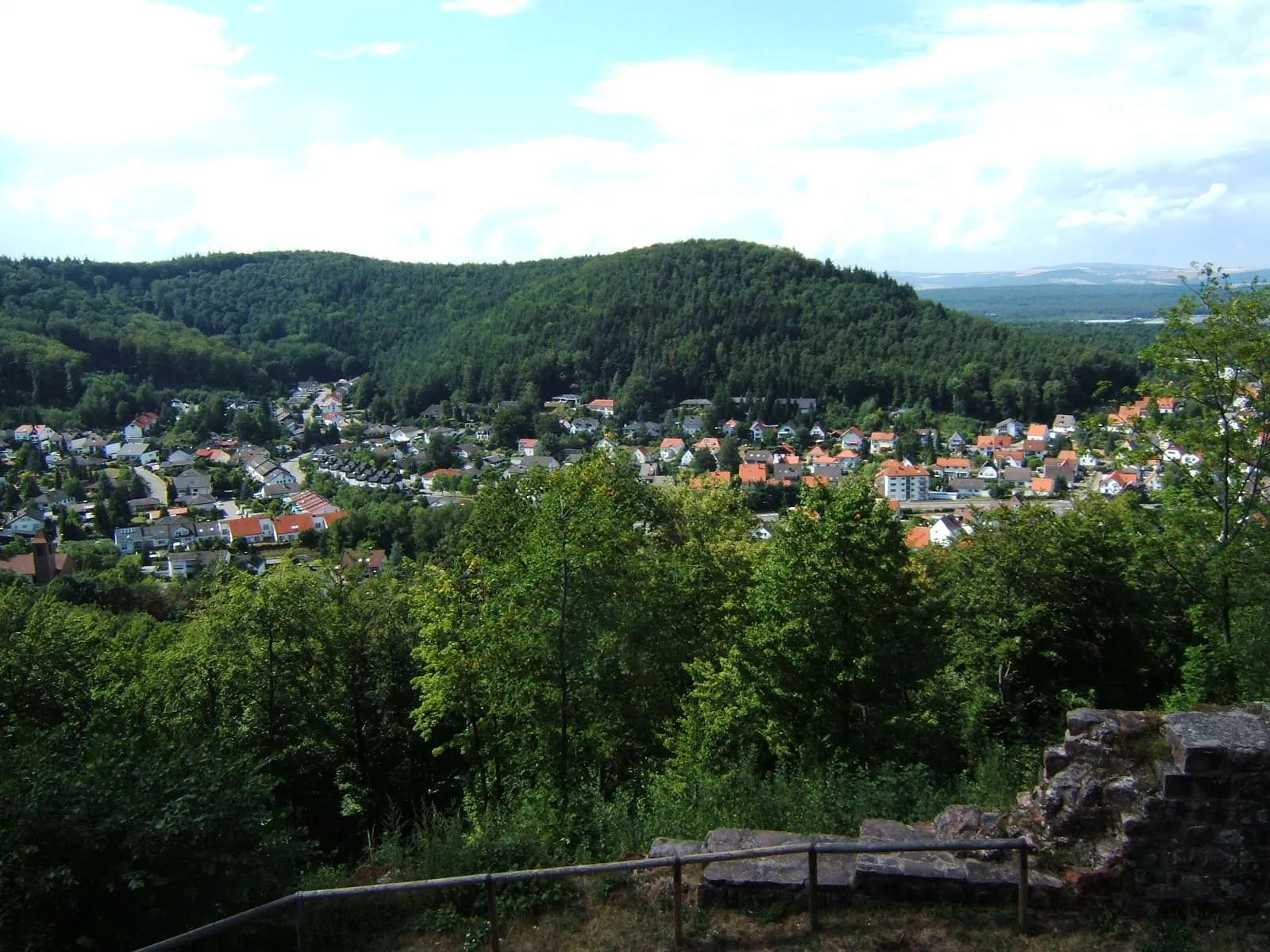
Start: Hochspeyer Village centerHochspeyer: Exploring scenic routes in Rheinhessen-Pfalz, Germany
Hochspeyer is a small town located in the Rheinhessen-Pfalz region of Germany. It offers a variety of cycling routes that pass through the beautiful countryside and charming villages. Road cyclists can enjoy smooth paved roads, while gravel cyclists can explore the forest trails surrounding the town. Hochspeyer is not particularly famous for cycling, but it provides a peaceful and scenic environment for cyclists to enjoy. The nearby Palatinate Forest is a popular destination for outdoor enthusiasts, offering various activities such as hiking and mountain biking.0 km
0 km
HochspeyerVillageHochspeyer is the starting and ending point of the route, offering convenient amenities for cyclists. Enjoy the local hospitality and breathe in the fresh Palatinate air.
13 km
13 km
Mollenkopf507 mPeakMollenkopf is a lookout point that provides panoramic views of the Palatinate region. Take a moment to appreciate the natural beauty of the landscape.
20 km
20 km
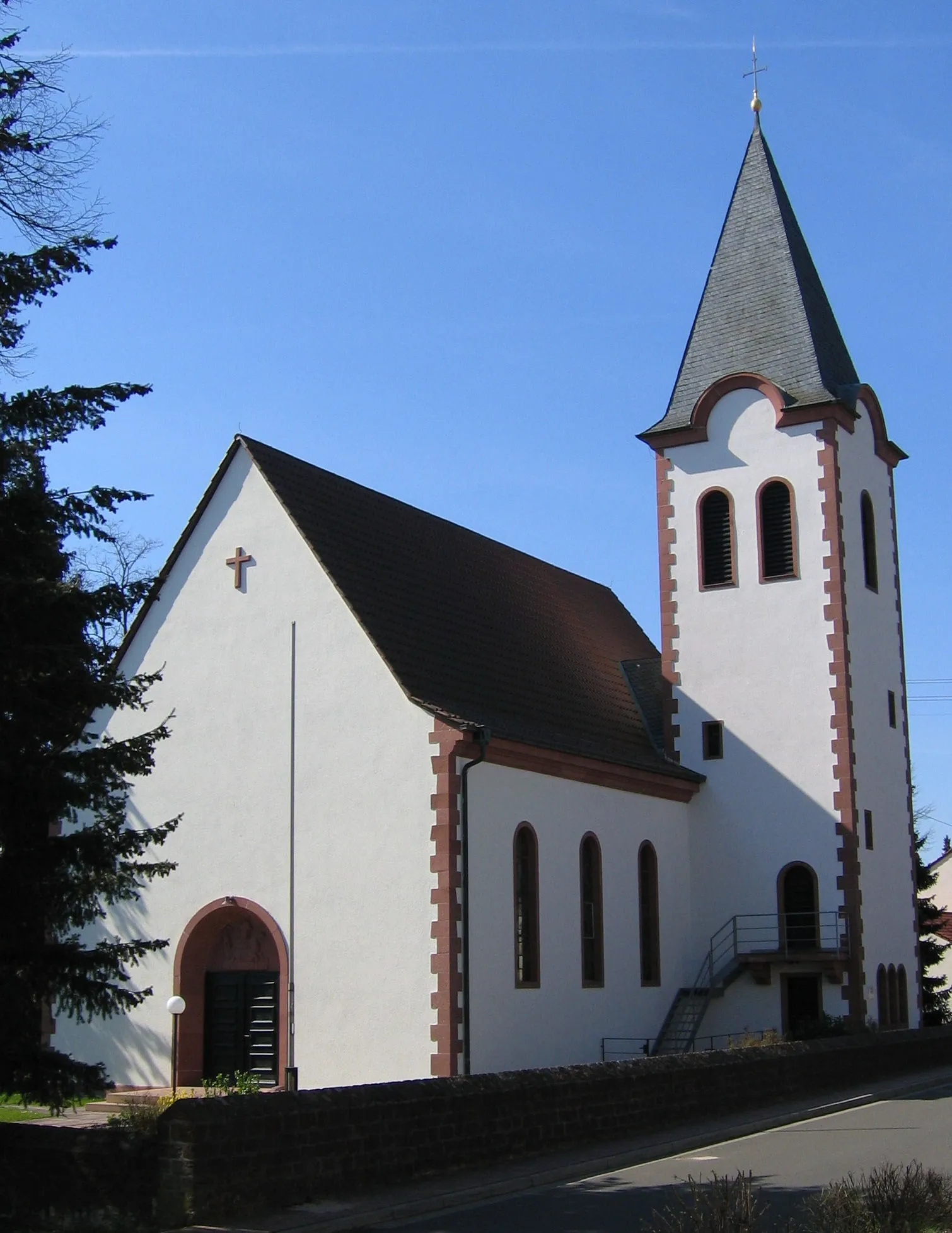
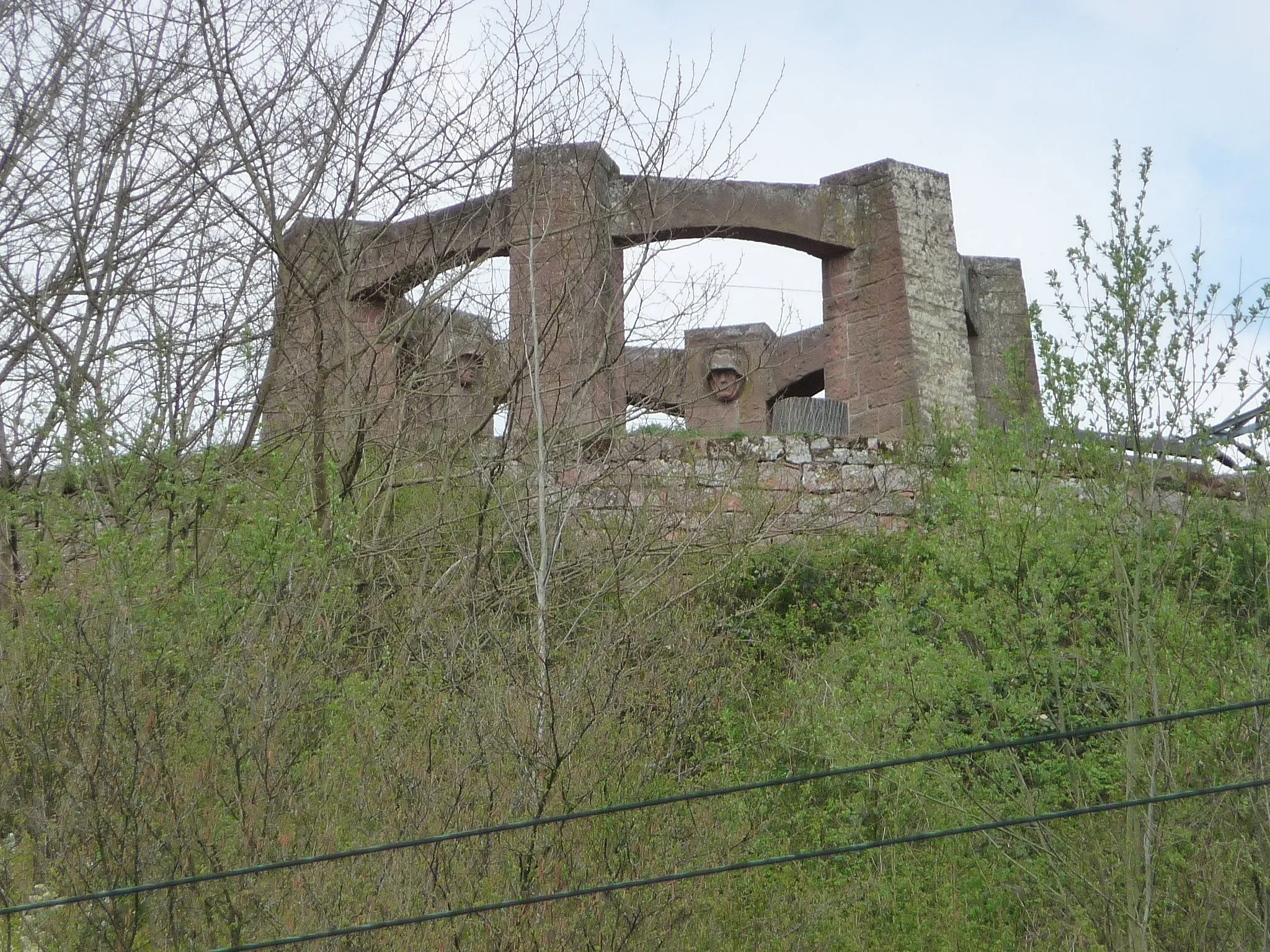
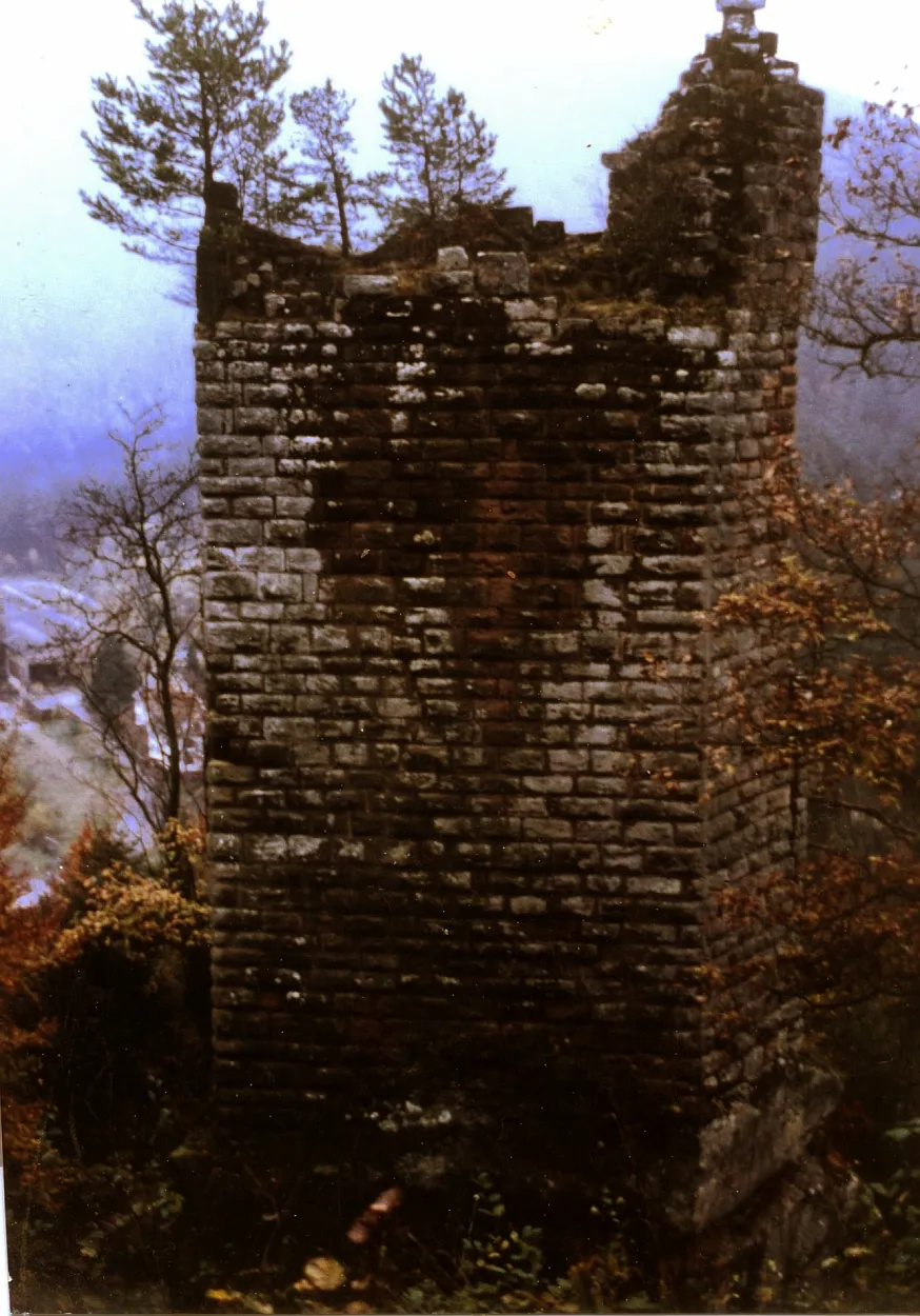
Burg BreitensteinCastleBurg Breitenstein is a well-preserved medieval castle that offers a glimpse into the region's rich history. Explore the castle grounds and imagine life in the Middle Ages.
27 km
27 km
Steigerkopf613 mPeakSteigerkopf is a hill with stunning panoramic views of the surrounding countryside. Climb to the top and enjoy the reward of breathtaking vistas.
46 km
46 km
Eschkopf608 mPeakEschkopf is a natural mountain with idyllic landscapes and serene surroundings. Take a break and soak in the peaceful atmosphere.
51 km
51 km
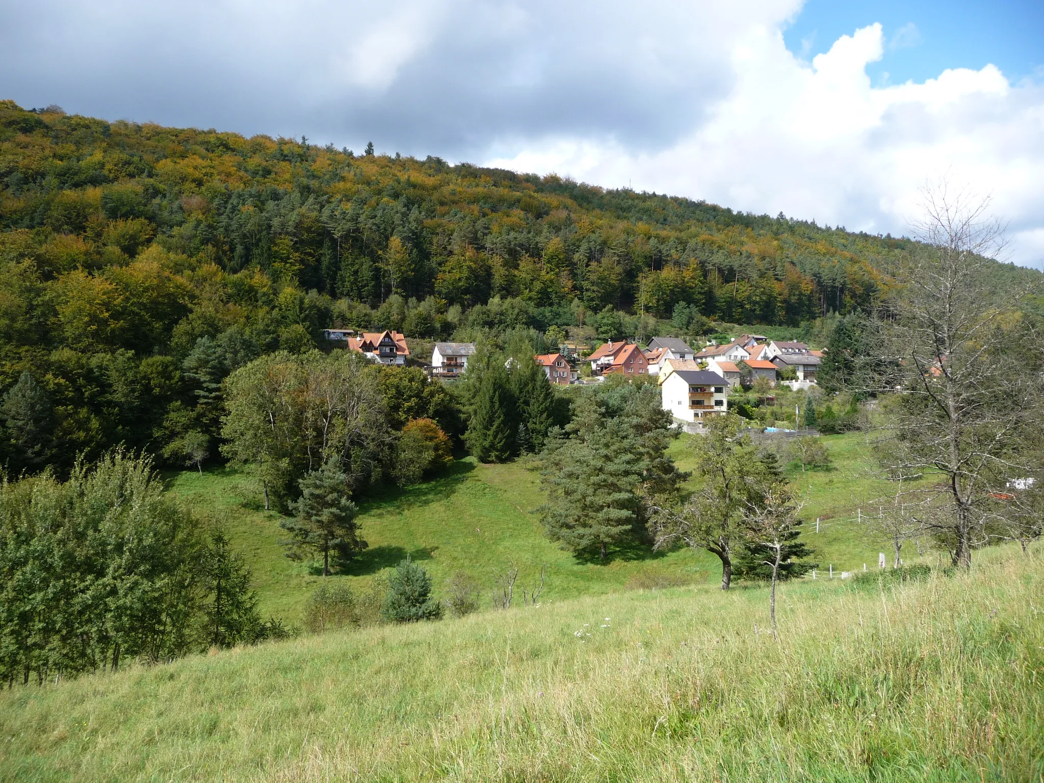
SpeyerbrunnHamletSpeyerbrunn is a charming village known for its natural springs and scenic beauty. Stop and take a refreshing break near the flowing water.
56 km
56 km
Leiterberg507 mPeakLeiterberg is a challenging climb that tests your stamina and climbing skills. Conquer the steep ascent and enjoy the exhilaration of reaching the top.
64 km
64 km
Leutenberger HütteShelterLeutenberger Hütte is a popular spot for hikers and cyclists, offering stunning views and delicious local cuisine. Enjoy a well-deserved rest and refuel before continuing your journey.
66 km
66 km
Finish: Hochspeyer Village centerHochspeyer: Exploring scenic routes in Rheinhessen-Pfalz, Germany
Cycling routes from Hochspeyer:
Burg Beilstein Loop Hochspeyer - Burg Breitenstein Gravel Adventure Enkenbach-Alsenborn Loop Spazierweg am Eiswoog Circuit Hochspeyer - Salweidenkopf Gravel Loop Hochspeyer to Dreispitz Round-Trip Cycling Route Fischbach - Gimmeldingen Gravel Adventure Fischbach Gravel Adventure Hochspeyer - Burg Beilstein Gravel Loop Kaiserslautern Valley Loop The Palatinate Adventure Palatinate Gravel Getaway
Cycling routes nearby: