Hochspeyer - Burg Breitenstein Gravel Adventure
A gravel cycling route starting from Hochspeyer
A thrilling gravel adventure to the historic Burg Breitenstein
Map
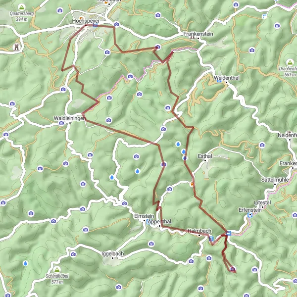
Embark on a 50 km gravel cycling adventure starting from Hochspeyer. With an ascent of 1312 meters, this route is suitable for experienced cyclists seeking a challenging ride. Highlights along the route include Mollenkopf, the impressive Burg Breitenstein, and the scenic Grünberg. Enjoy the tranquility of the Leutenberger Hütte and discover the historical significance of each stop along the way.
gravel
50 km
1312 m
Tough
Route profile
Highlights on the route
0 km
0 km
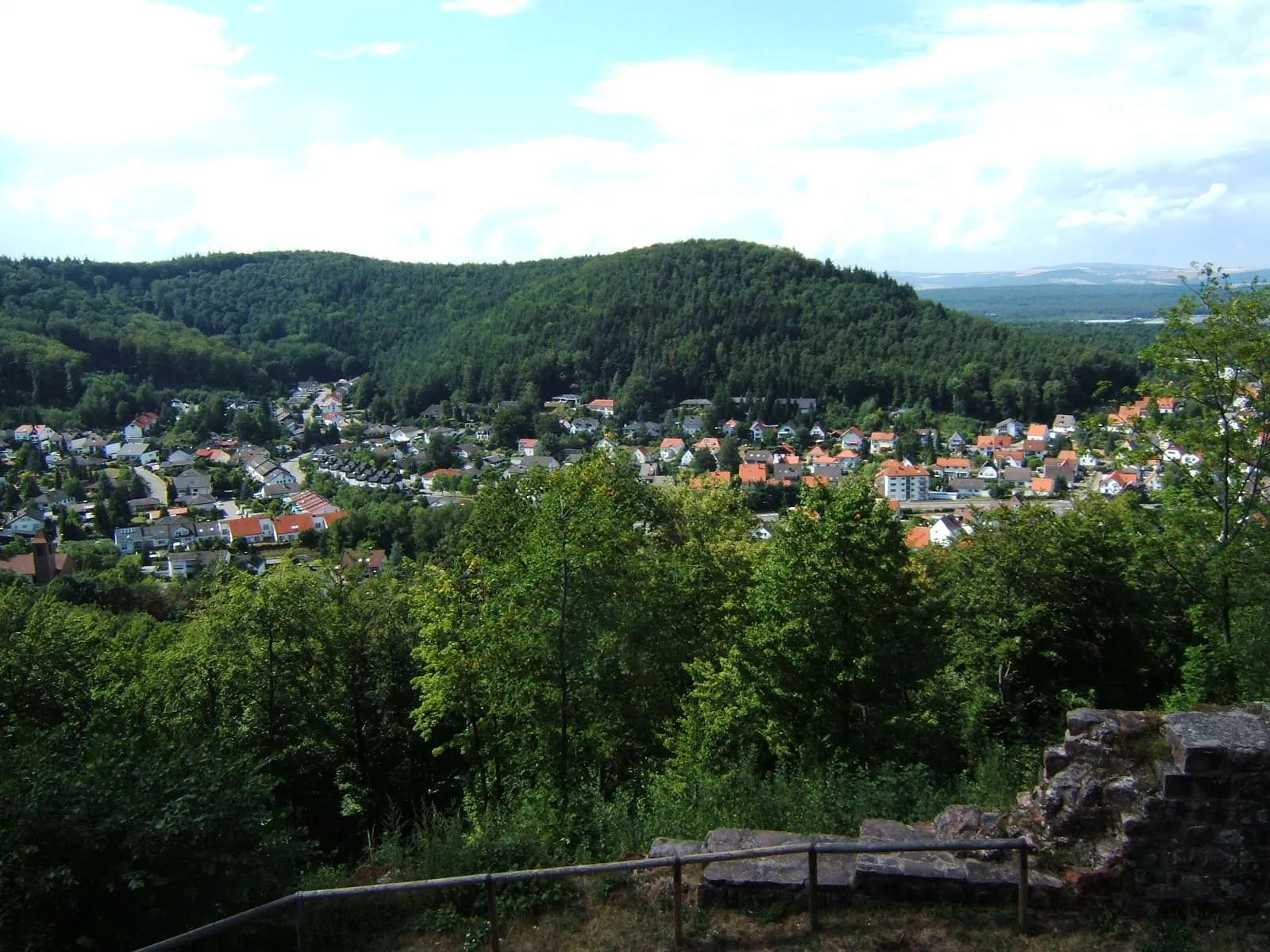
Start: Hochspeyer Village centerHochspeyer: Exploring scenic routes in Rheinhessen-Pfalz, Germany
Hochspeyer is a small town located in the Rheinhessen-Pfalz region of Germany. It offers a variety of cycling routes that pass through the beautiful countryside and charming villages. Road cyclists can enjoy smooth paved roads, while gravel cyclists can explore the forest trails surrounding the town. Hochspeyer is not particularly famous for cycling, but it provides a peaceful and scenic environment for cyclists to enjoy. The nearby Palatinate Forest is a popular destination for outdoor enthusiasts, offering various activities such as hiking and mountain biking.0 km
0 km
HochspeyerVillageHochspeyer - Starting point of the route
13 km
13 km
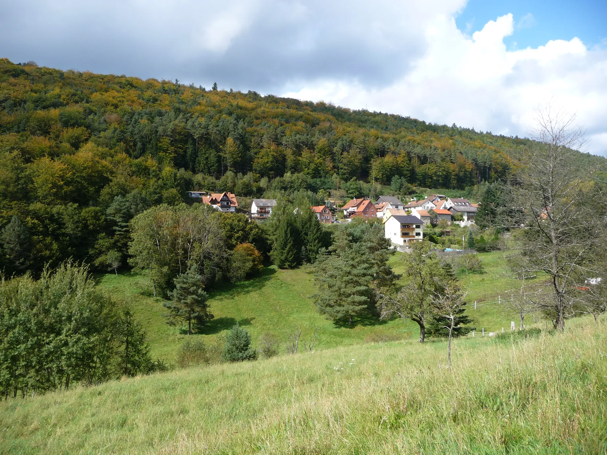
Mollenkopf507 mPeakMollenkopf - Enjoy panoramic views from the Mollenkopf peak
20 km
20 km
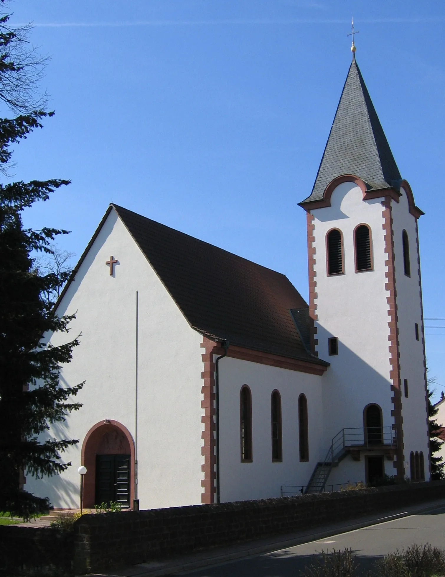
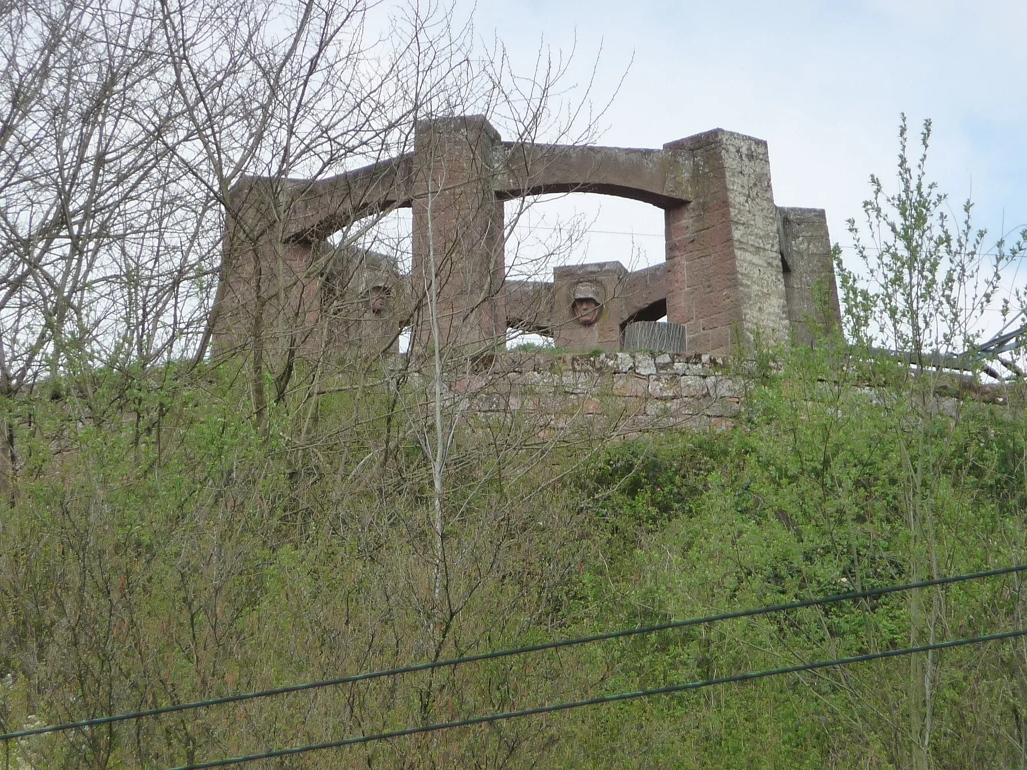
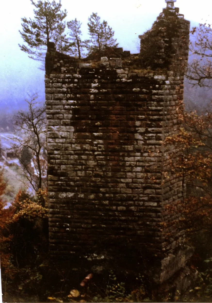
Burg BreitensteinCastleBurg Breitenstein - Visit the well-preserved medieval castle with stunning views
29 km
29 km
Grünberg424 mPeakGrünberg - Discover this scenic hill offering panoramic views
48 km
48 km
Leutenberger HütteShelterLeutenberger Hütte - Rest and enjoy the tranquility of this mountain hut
50 km
50 km
Finish: Hochspeyer Village centerHochspeyer: Exploring scenic routes in Rheinhessen-Pfalz, Germany
Cycling routes from Hochspeyer:
Burg Beilstein Loop Hochspeyer - Burg Breitenstein Gravel Adventure Enkenbach-Alsenborn Loop Spazierweg am Eiswoog Circuit Hochspeyer - Salweidenkopf Gravel Loop Hochspeyer to Dreispitz Round-Trip Cycling Route Fischbach - Gimmeldingen Gravel Adventure Fischbach Gravel Adventure Hochspeyer - Burg Beilstein Gravel Loop Kaiserslautern Valley Loop The Palatinate Adventure Palatinate Gravel Getaway
Cycling routes nearby: