Gravel Adventure: Landstuhl Exploration
A gravel cycling route starting from Landstuhl
Embark on an exhilarating gravel adventure around Landstuhl
Map
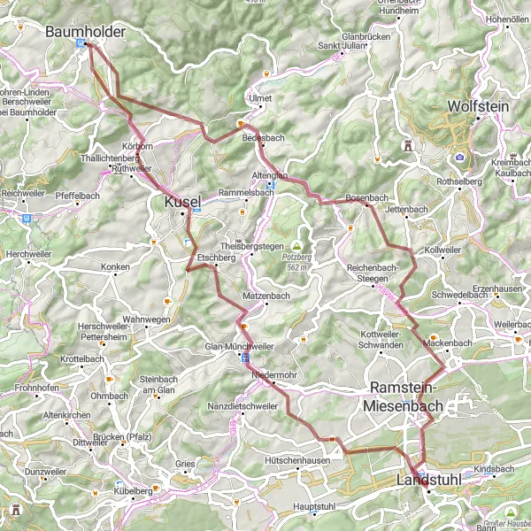
With an ascent of 1326m and a distance of 78 km, this gravel cycling route around Landstuhl promises an exciting adventure through diverse landscapes and challenging terrains. Encounter stunning nature and discover hidden gems along the way. This route requires advanced off-road riding skills and is suitable for experienced gravel riders seeking an adrenaline-packed journey.
gravel
78 km
1326 m
Savage
Route profile
Highlights on the route
0 km
0 km
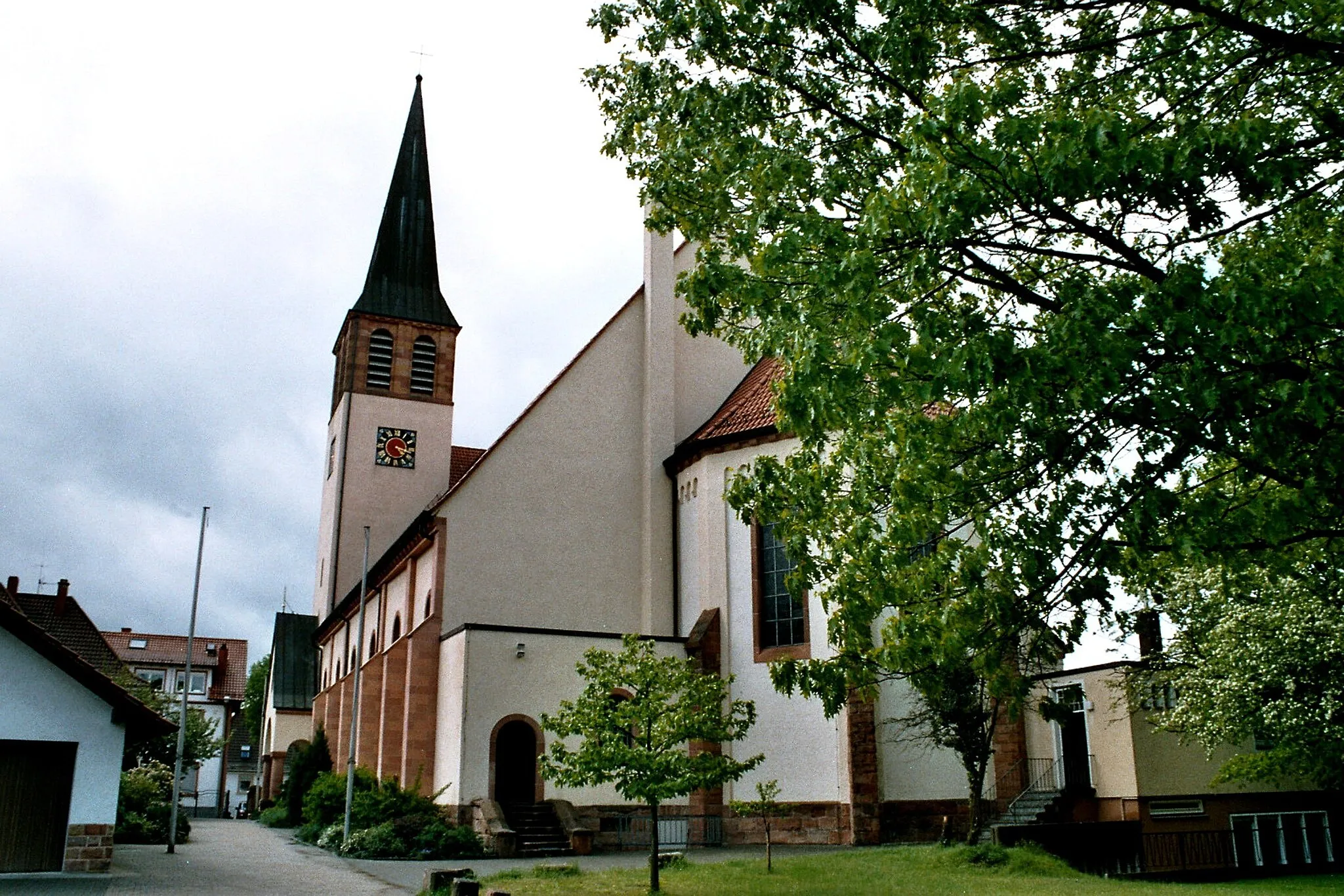
Start: Landstuhl City centerLandstuhl: Diverse cycling adventures in Landstuhl, Rheinhessen-Pfalz, Germany.
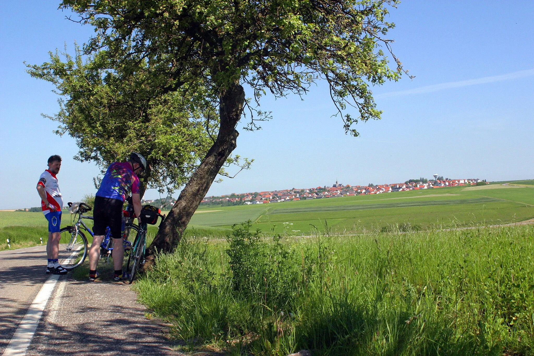
Landstuhl is a captivating locality situated in the Rheinhessen-Pfalz region of Germany. For road and gravel cyclists, Landstuhl offers a variety of terrain, ranging from flat stretches to challenging climbs. The locality is surrounded by picturesque scenery, including forested areas and vineyards. Cyclists will appreciate the well-signposted cycling routes and well-maintained roads. Notable nearby climbs include the Potzberg, known for its challenging ascent and breathtaking views.11 km
11 km
Klingelberg243 mPeakKlingelberg provides a thrilling descent with winding trails through enchanting forested areas. Challenge yourself and enjoy the rush as you navigate through this thrilling segment.
14 km
14 km
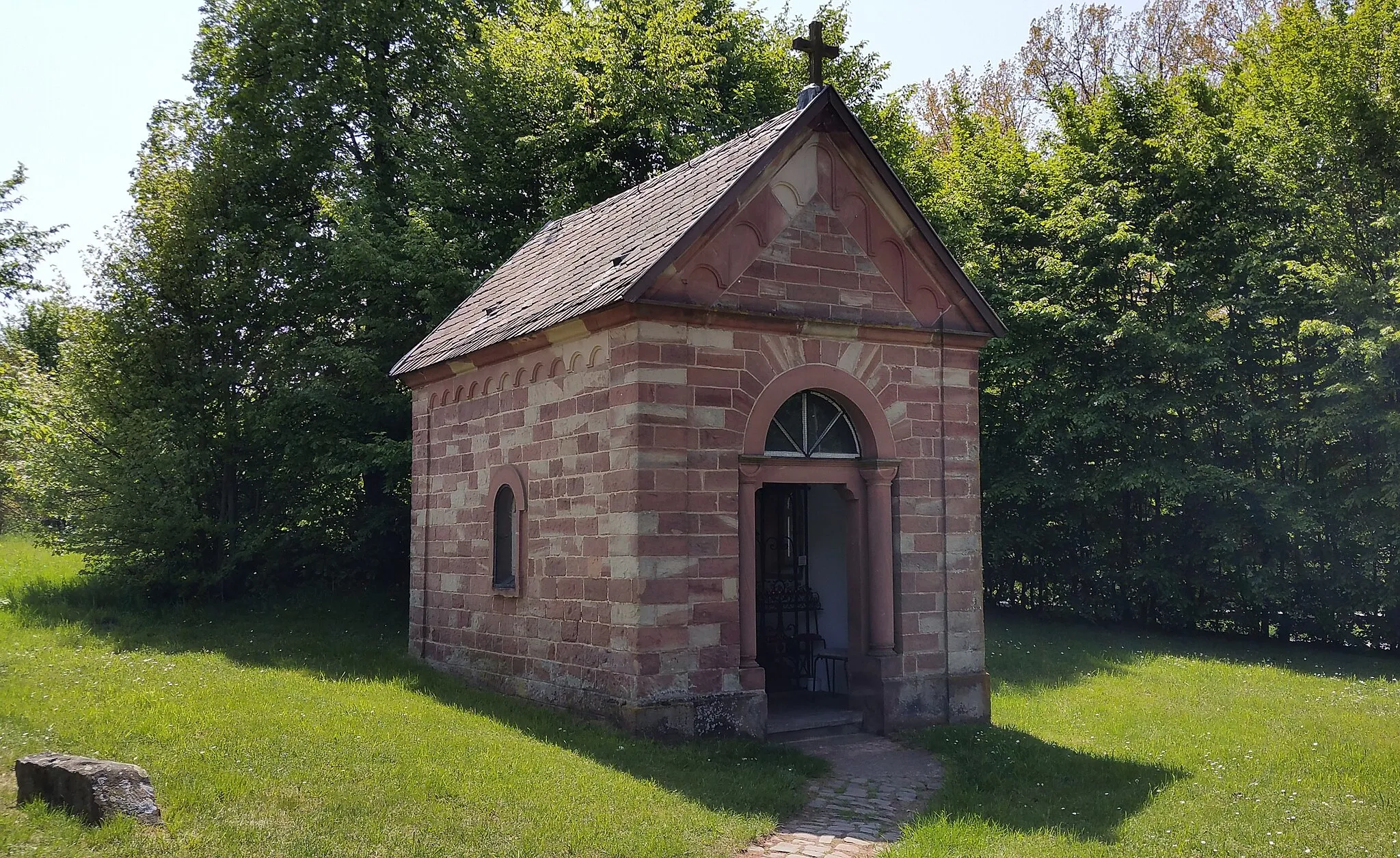
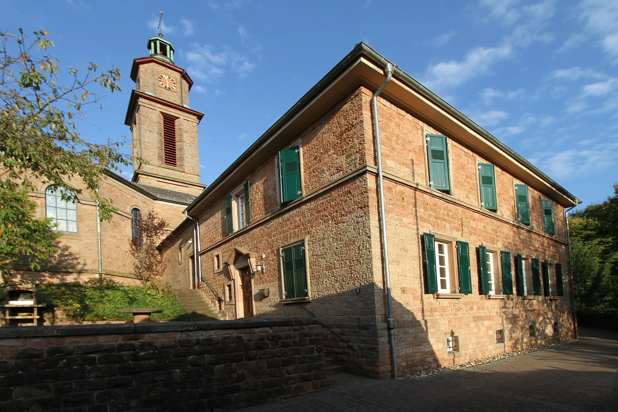
Glan-MünchweilerVillageGlan-Münchweiler is a picturesque village nestled in a valley with quaint traditional houses and charming cobblestone streets. Take a moment to explore the historic architecture and capture the essence of this hidden gem.
20 km
20 km
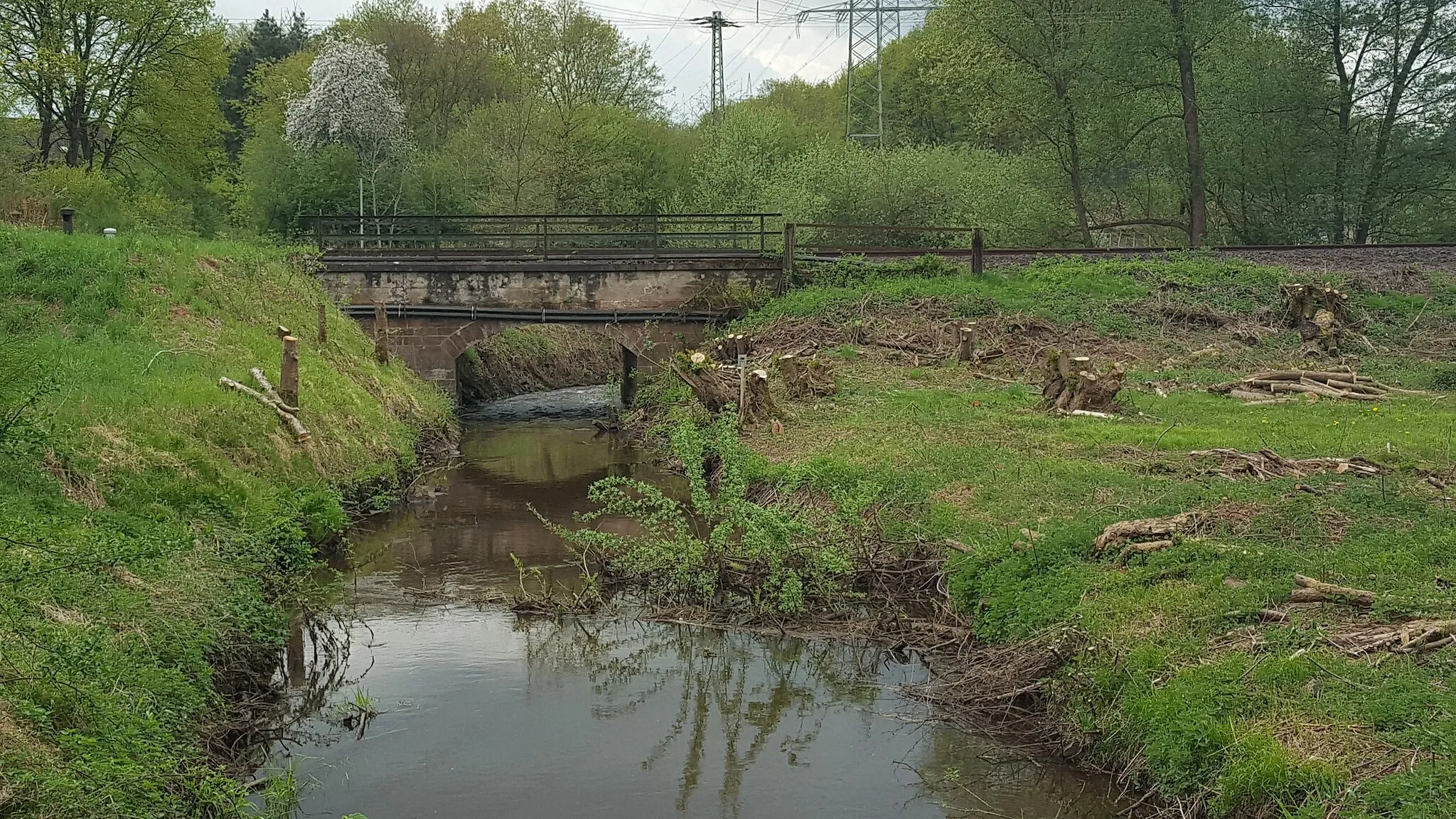
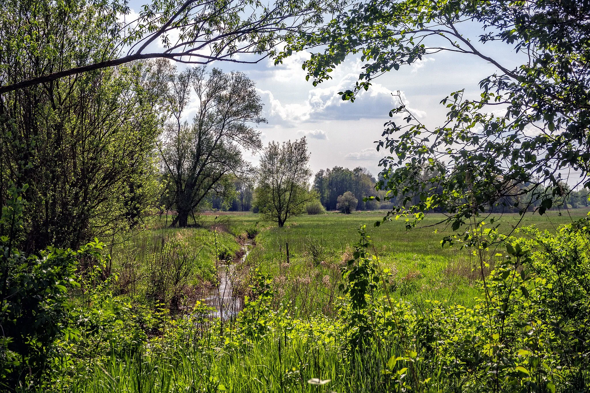
EtschbergVillageEtschberg offers an off-the-beaten-path gravel track and rugged landscapes, making it a unique highlight along the route. Immerse yourself in the untouched beauty of this remote area.
36 km
36 km
BaumholderTownBaumholder is famous for its stunning nature, including dense forests and crystal-clear lakes. Delve into the wild landscapes and witness nature's beauty up close.
44 km
44 km
Dennweiler-FrohnbachVillageDennweiler-Frohnbach is a quaint village that seems frozen in time. Explore its narrow, winding streets and admire the preserved charm of this traditional settlement.
54 km
54 km
Kalmet380 mPeakKalmet is a charming village surrounded by lush meadows, offering a peaceful and serene atmosphere. Take a moment to unwind and escape the bustling world.
67 km
67 km
Hebenhübel362 mPeakHebenhübel is a scenic viewpoint that provides panoramic vistas of the surrounding countryside. Soak in the beauty of the landscapes while taking a well-deserved break.
69 km
69 km
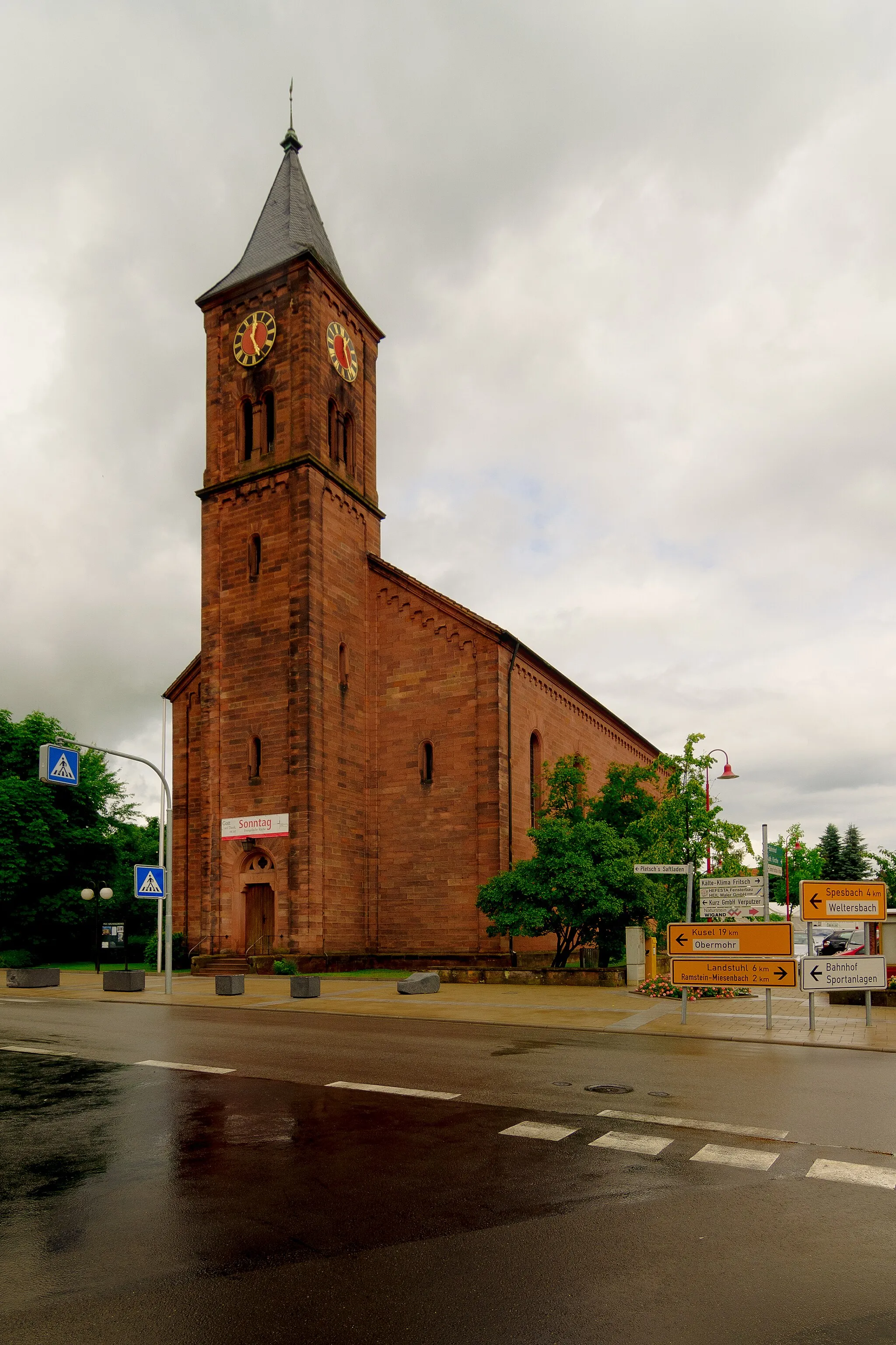
MackenbachVillageMackenbach is a small village with a rich heritage and fascinating traditions. Explore the local culture and historic sites, and experience the warm hospitality of the locals.
78 km
78 km
Finish: Landstuhl City centerLandstuhl: Diverse cycling adventures in Landstuhl, Rheinhessen-Pfalz, Germany.
Cycling routes from Landstuhl:
Gravel Adventure to Kirchberg Landstuhl and Nanstein Castle Loop Hörnchen and Nanstein Castle Epic Challenge Hidden Gems of Gravel Gravel Exploration Roads Untrodden Wallhalben and Kirchberg Loop Kohlkopf and Kindsbach Gravel Adventure Glory of Gravel Cycling Splendor Hidden Hills: Landstuhl to Ottweiler Lambsborn Loop: Countryside Ride Gravel Adventure: Landstuhl Exploration Landstuhl Loop: Hills and Valleys
Cycling routes nearby: