Hidden Hills: Landstuhl to Ottweiler
A road cycling route starting from Landstuhl
Discover the hidden hills and historic landmarks from Landstuhl to Ottweiler
Map
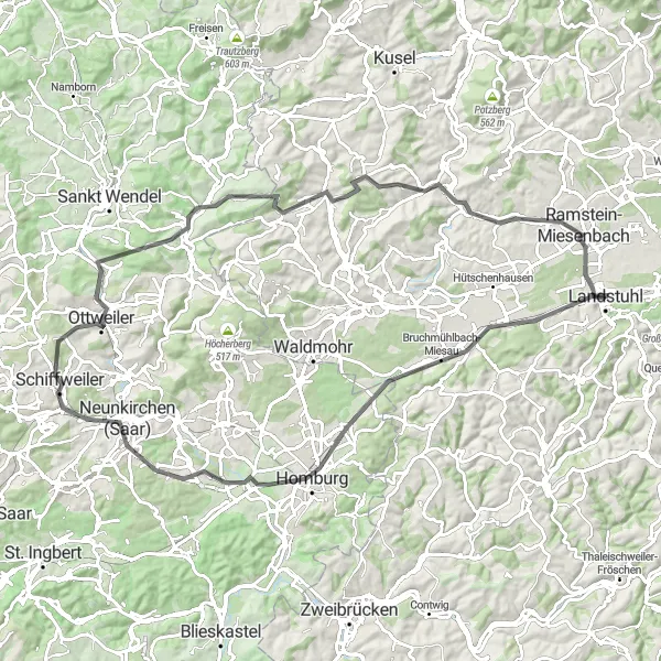
This 93 km road cycling route takes you through a scenic journey from Landstuhl to Ottweiler, passing hidden hills, charming villages, and historic landmarks. With an ascent of 965m, this route offers a moderate challenge and is suitable for cyclists looking to explore the region's diverse landscapes. Along the way, take the opportunity to immerse yourself in the local culture and experience some of the highlights this route has to offer.
road
93 km
965 m
Tough
Route profile
Highlights on the route
0 km
0 km
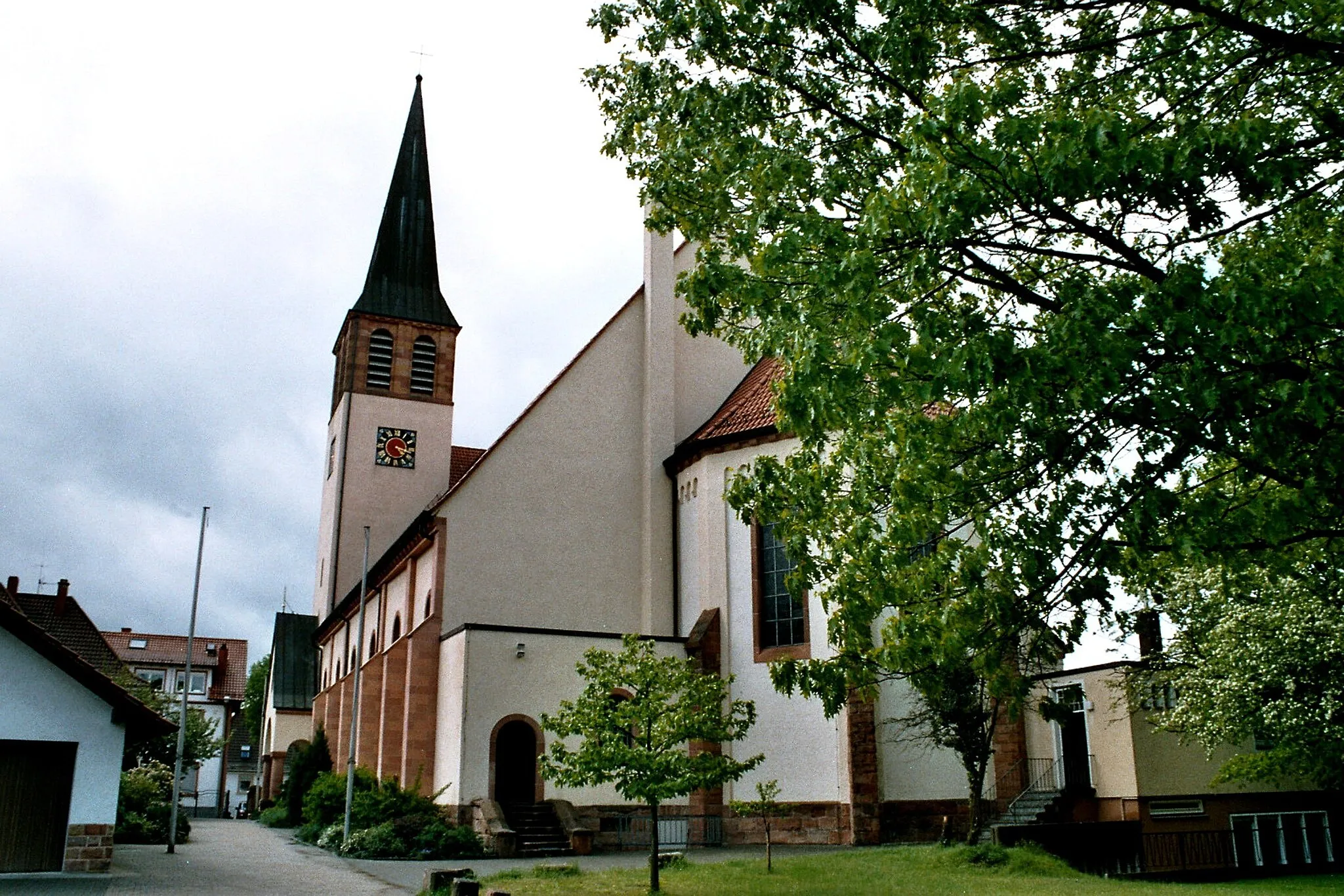
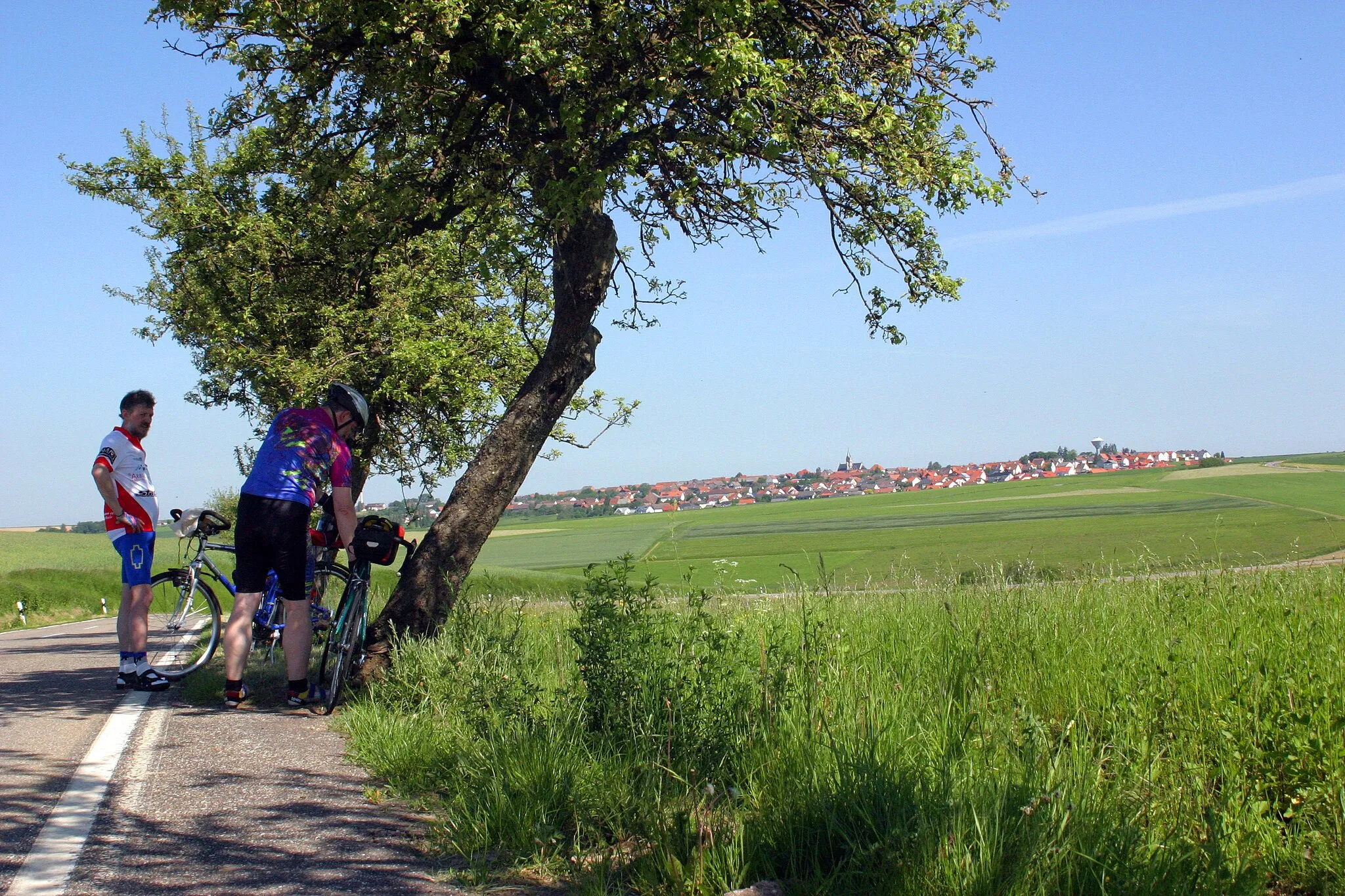
Start: Landstuhl City centerLandstuhl: Diverse cycling adventures in Landstuhl, Rheinhessen-Pfalz, Germany.
Landstuhl is a captivating locality situated in the Rheinhessen-Pfalz region of Germany. For road and gravel cyclists, Landstuhl offers a variety of terrain, ranging from flat stretches to challenging climbs. The locality is surrounded by picturesque scenery, including forested areas and vineyards. Cyclists will appreciate the well-signposted cycling routes and well-maintained roads. Notable nearby climbs include the Potzberg, known for its challenging ascent and breathtaking views.11 km
11 km
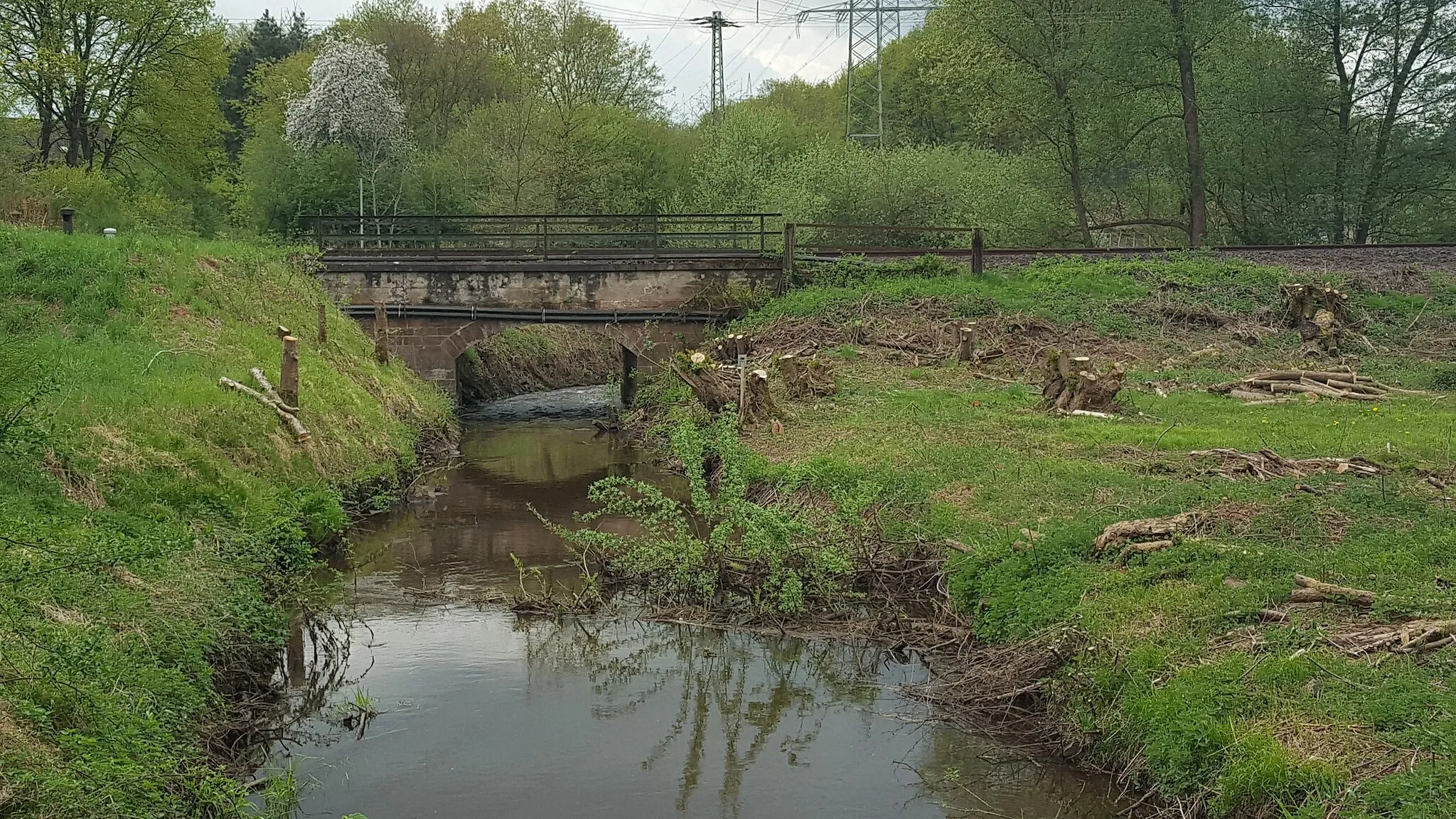
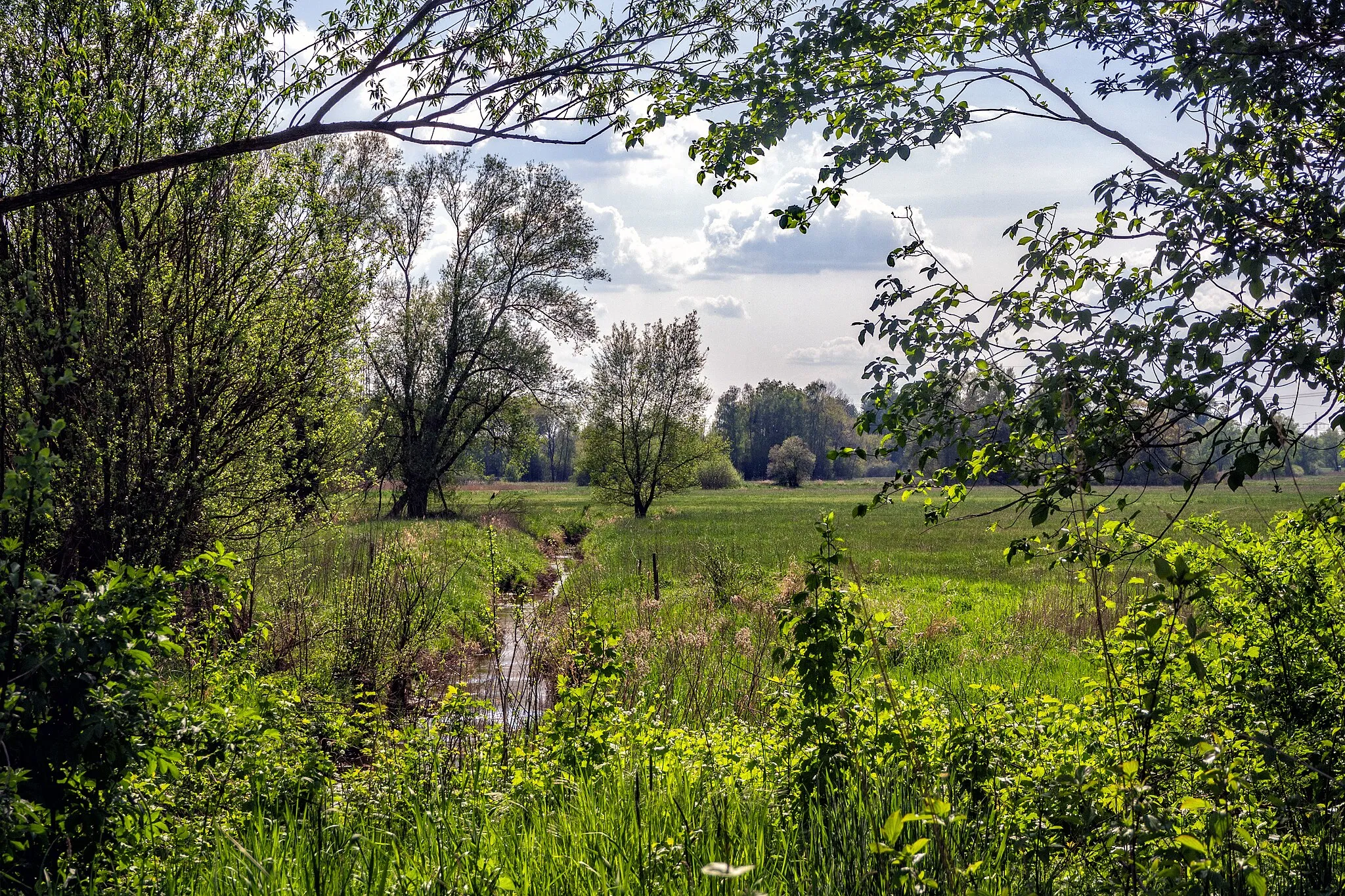
Bruchmühlbach-MiesauVillageBruchmühlbach-Miesau is a small town with a rich history, home to ancient castles and stunning cathedrals. Explore the captivating architecture and learn about the town's fascinating past.
11 km
11 km
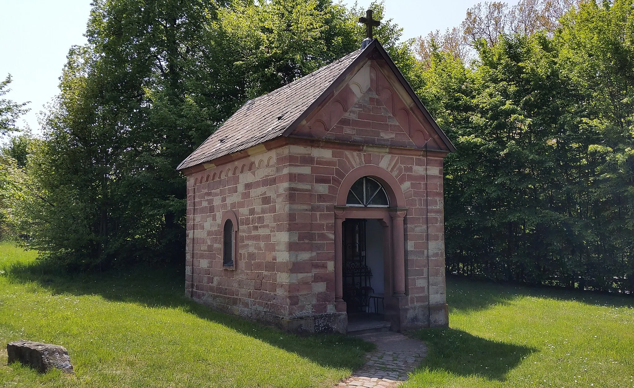
Herrchen403 mPeakHerrchen is a picturesque village known for its traditional Fachwerk houses and charming atmosphere. Take a stroll through the narrow streets and discover hidden gems around every corner.
30 km
30 km
Schwarzenkopf307 mPeakSchwarzenkopf is a notable highlight along the route, boasting lush forests and impressive views from its summit. Take a moment to appreciate the natural beauty of this area.
35 km
35 km
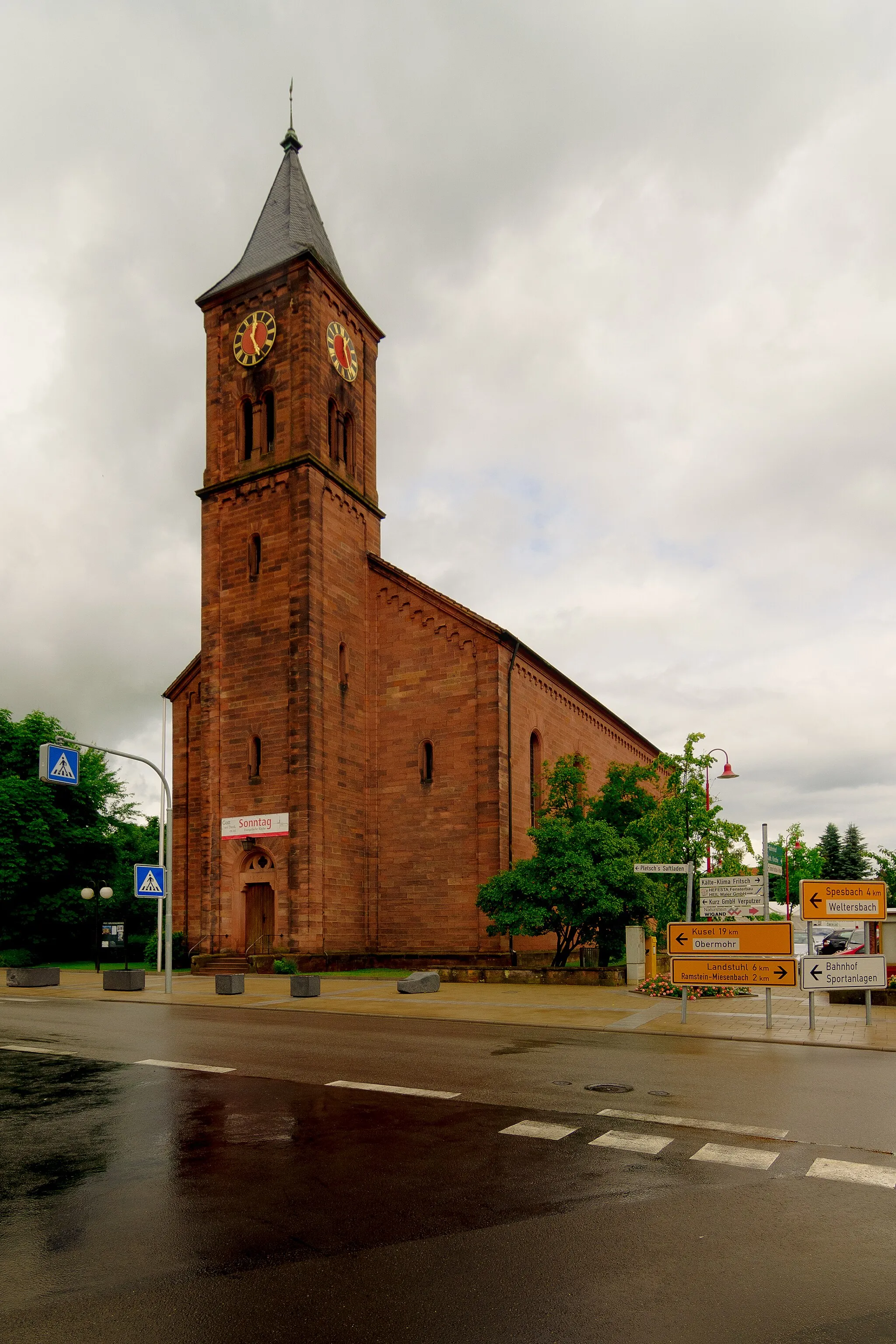
Neunkirchen (Saar)TownNeunkirchen (Saar) is a lively city with a thriving cultural scene. Visit the local museums and immerse yourself in the vibrant atmosphere of this historical town.
47 km
47 km
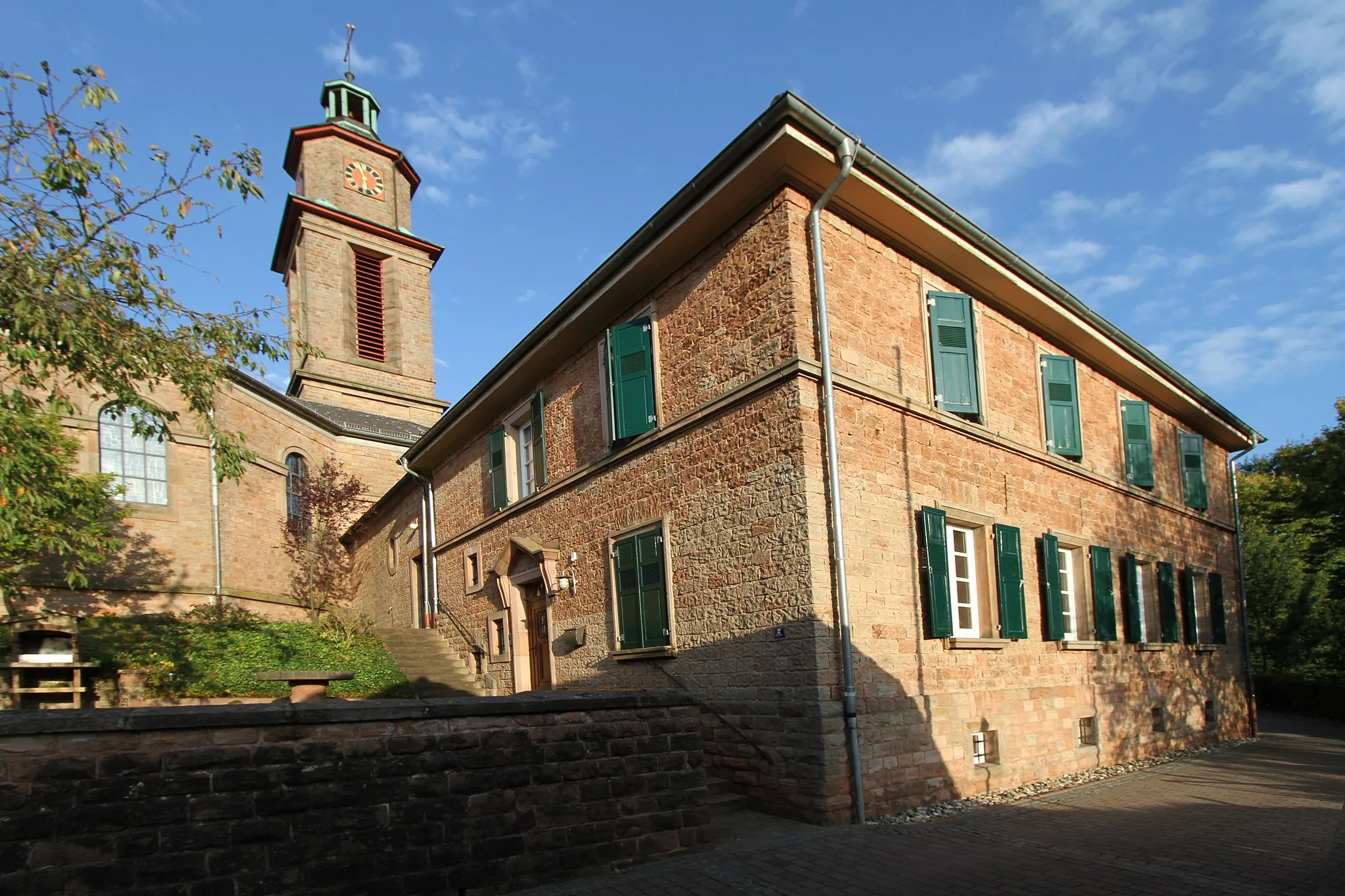
OttweilerTownOttweiler is a medieval town with a rich architectural heritage. Explore the picturesque streets, visit the charming market square, and admire the impressive Ottweiler Castle.
56 km
56 km
Hungerberg401 mPeakHungerberg offers panoramic views of the charming surrounding landscapes. Take a breather and take in the serene beauty of this hilltop highlight.
63 km
63 km
Buberg465 mPeakBuberg is a quaint village known for its idyllic setting and traditional half-timbered houses. Stop by and experience the peacefulness of this hidden gem.
88 km
88 km
Ramstein-MiesenbachTownRamstein-Miesenbach is a renowned cycling spot, attracting cyclists from near and far. Enjoy the well-maintained cycling paths and catch a glimpse of the stunning landscapes that surround the area.
93 km
93 km
HerrengärtchenViewpointHerrengärtchen is a must-visit attraction, offering beautifully landscaped gardens and scenic walking paths. Take your time to explore the tranquil surroundings and recharge your energy.
93 km
93 km
Finish: Landstuhl City centerLandstuhl: Diverse cycling adventures in Landstuhl, Rheinhessen-Pfalz, Germany.
Cycling routes from Landstuhl:
Gravel Adventure to Kirchberg Landstuhl and Nanstein Castle Loop Hörnchen and Nanstein Castle Epic Challenge Hidden Gems of Gravel Gravel Exploration Roads Untrodden Wallhalben and Kirchberg Loop Kohlkopf and Kindsbach Gravel Adventure Glory of Gravel Cycling Splendor Hidden Hills: Landstuhl to Ottweiler Lambsborn Loop: Countryside Ride Gravel Adventure: Landstuhl Exploration Landstuhl Loop: Hills and Valleys
Cycling routes nearby: