Forests and Hills Route
A gravel cycling route starting from Martinshohe
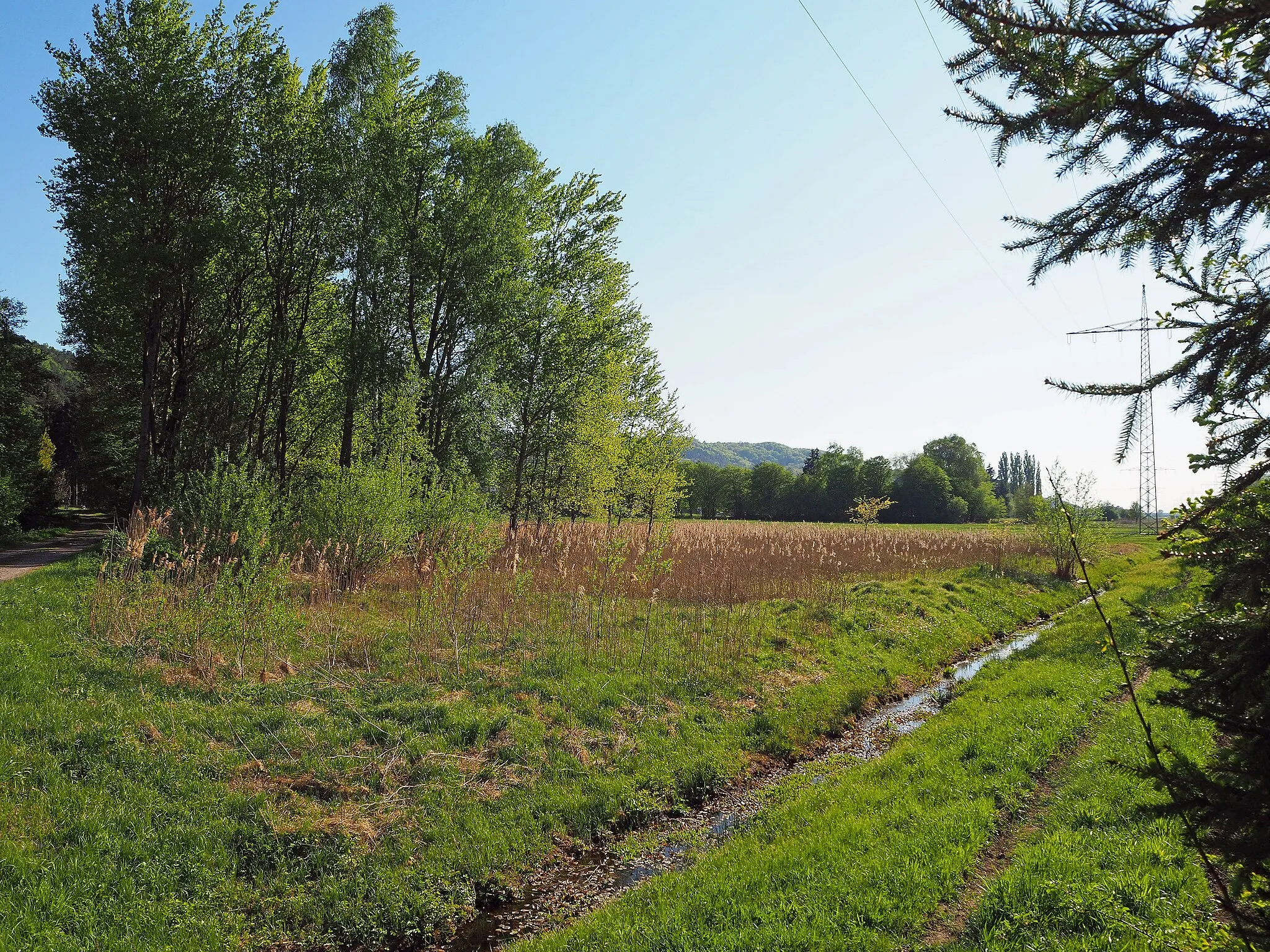
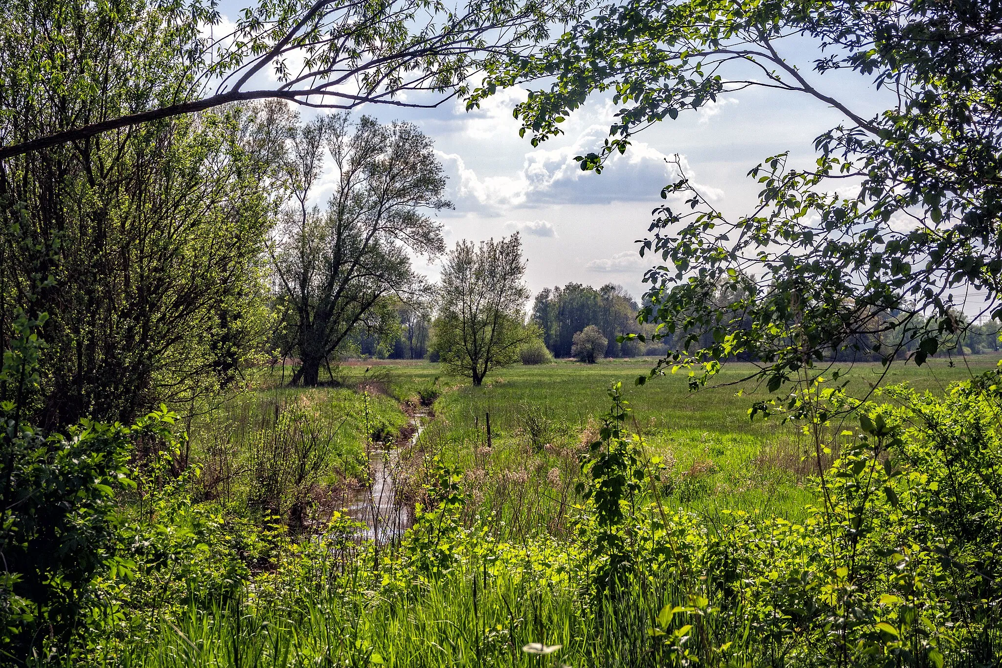
A scenic cycling route through lush forests and rolling hills
Map
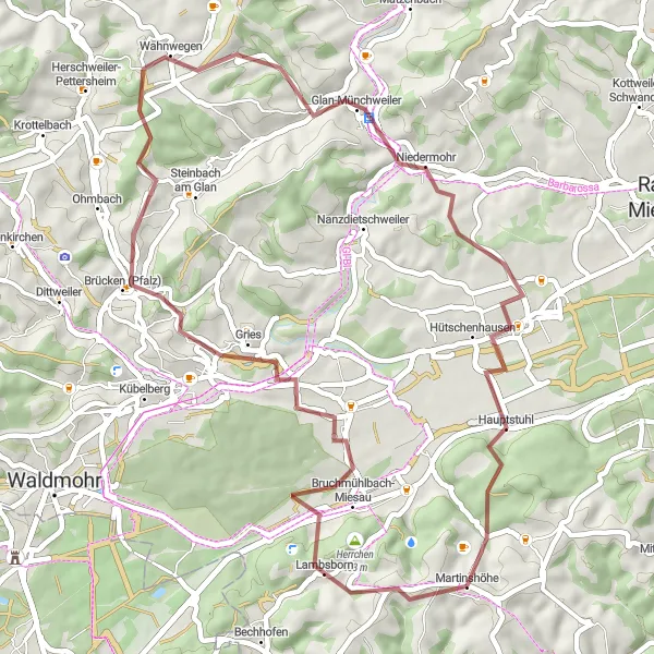
This route takes you through picturesque forests and enchanting hills, offering breathtaking views along the way. With a total distance of 48 kilometers and an ascent of 793 meters, this gravel route is suitable for moderately experienced cyclists. The epicness factor of this route is rated 3 out of 5, making it a great choice for a day of adventure and exploration.
gravel
48 km
793 m
Tough
Route profile
Highlights on the route
0 km
0 km
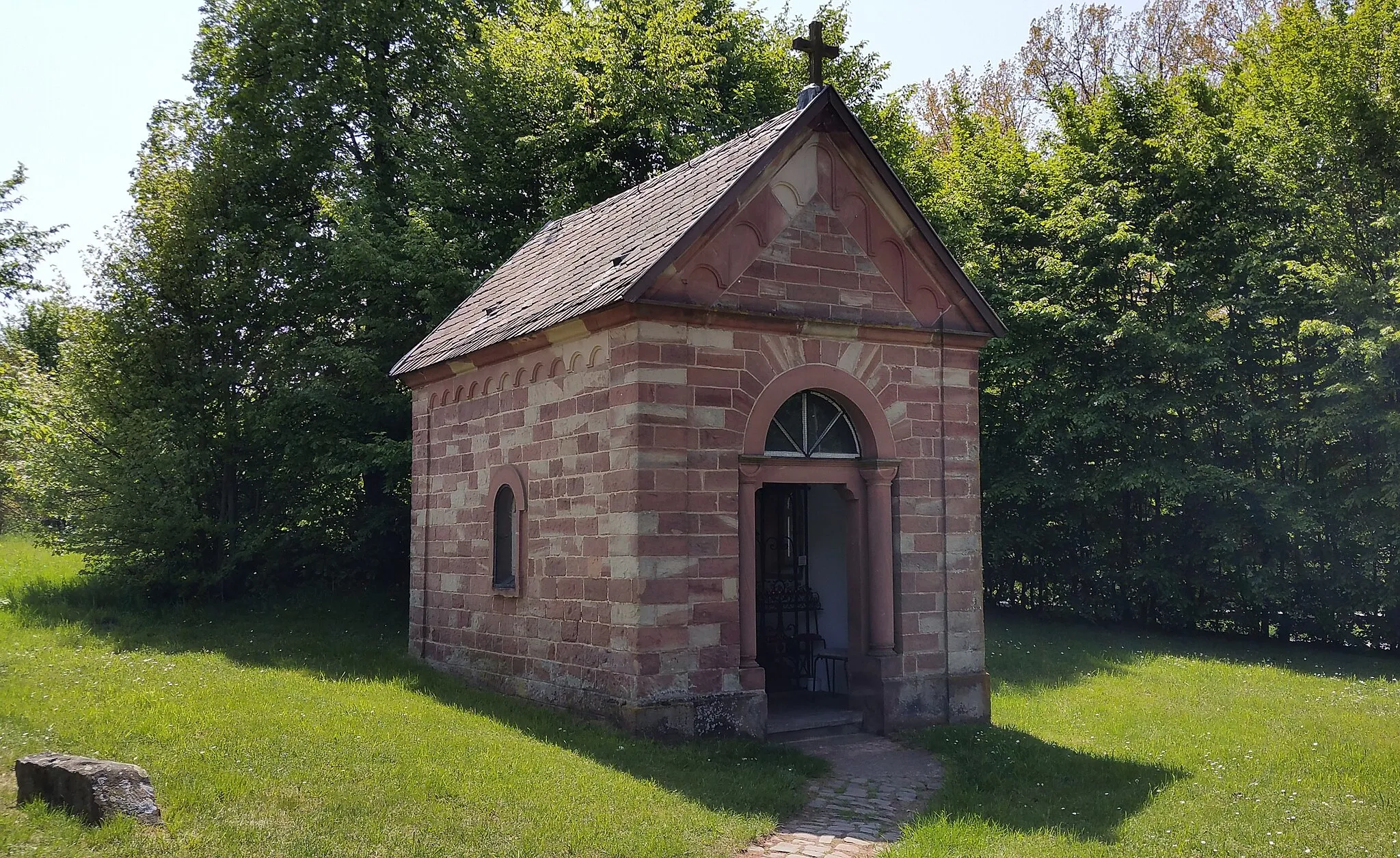
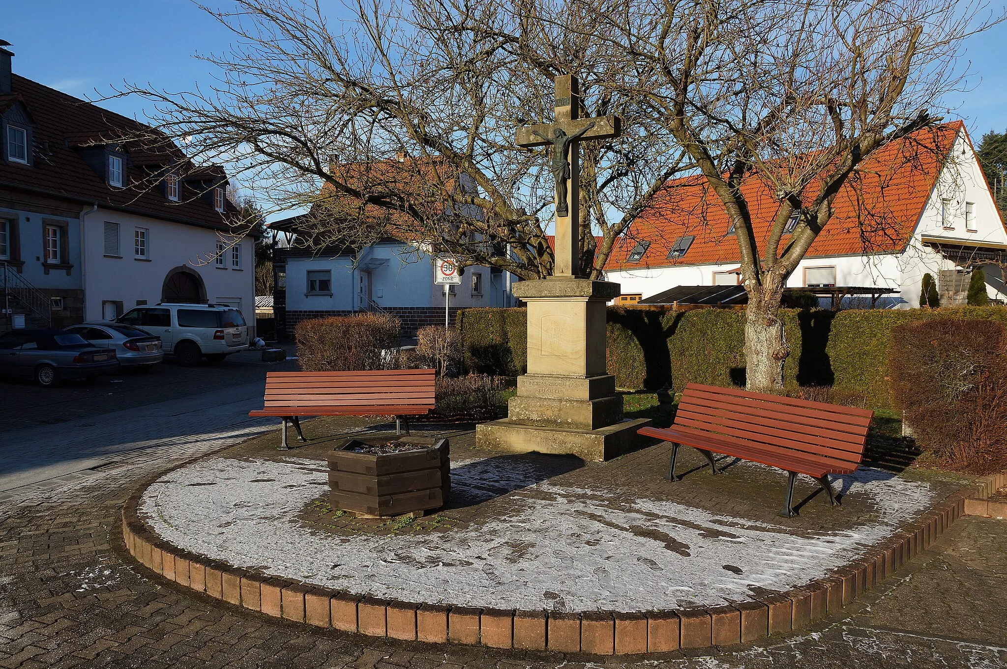
Start: Martinshöhe Village centerMartinshöhe: Discover the rural and forested roads of Martinshöhe on a road or gravel bike.
Martinshöhe is a small village located in the Rheinhessen-Pfalz region of Germany. It offers a mix of rural and forested roads, making it suitable for road and gravel cycling. The roads are well-maintained and provide a smooth riding experience. There are also several nearby cycling routes, such as the Pfälzerwald Radwanderweg, that offer beautiful views of the surrounding countryside. One of the well-known climbing areas nearby is the Donnersberg, which provides a challenge for cyclists. Overall, Martinshöhe is a great destination for cyclists looking to explore the rural landscapes of Germany.8 km
8 km
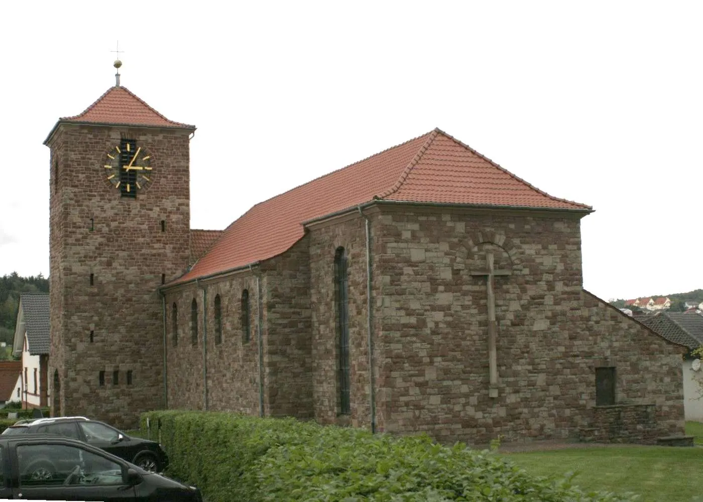
Bruchmühlbach-MiesauVillageBruchmühlbach-Miesau, one of the highlights on this route, is known for its historic castles and charming old town.
18 km
18 km
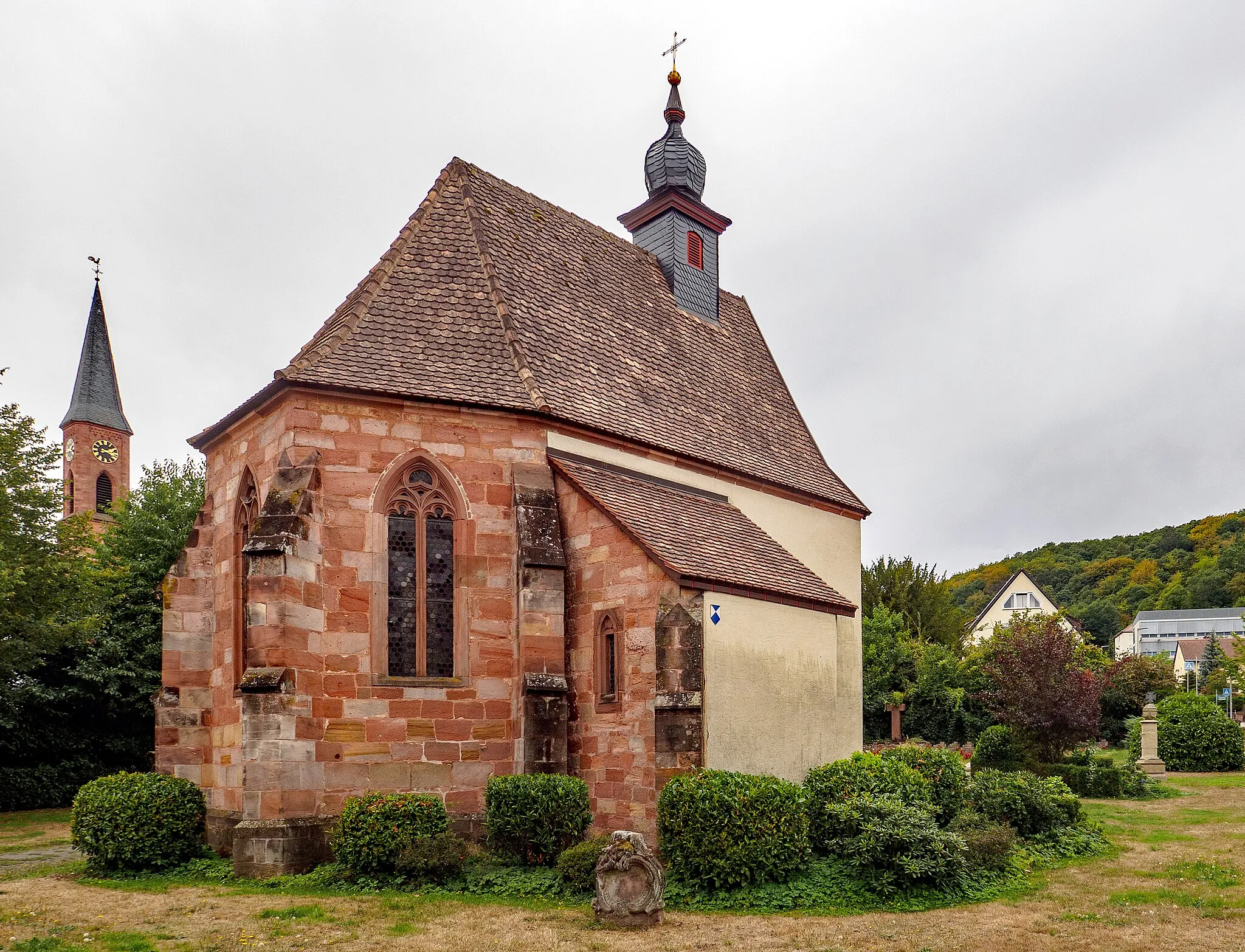
Brücken (Pfalz)VillageBrücken (Pfalz) will enchant you with its well-preserved half-timbered houses and idyllic vineyards.
24 km
24 km
Hühnerkopf437 mPeakReaching the summit of Hühnerkopf offers magnificent panoramic views of the surrounding countryside.
35 km
35 km
Klingelberg243 mPeakKlingelberg not only boasts beautiful landscapes, but also a fascinating history, being the site of ancient ruins.
44 km
44 km
HauptstuhlVillageHauptstuhl is a charming village that provides a perfect spot for a refreshing break and some delightful local cuisine.
48 km
48 km
Finish: Martinshöhe Village centerMartinshöhe: Discover the rural and forested roads of Martinshöhe on a road or gravel bike.
Cycling routes from Martinshohe:
Forests and Hills Route Mountain View Loop Valleys and Hills Adventure Mountain Madness Challenge Countryside Delight The Landstuhl Loop Best of Rheinhessen-Pfalz Gravel Road Cycling Adventure in Rheinhessen-Pfalz Quaint Gravel Discoveries in Rheinhessen-Pfalz Adventurous Gravel Ride in Rheinhessen-Pfalz Road Cycling Journey through Rheinhessen-Pfalz
Cycling routes nearby: