Mountain Madness Challenge
A road cycling route starting from Martinshohe
Conquer formidable mountains and experience the thrill of the climb on this road cycling route
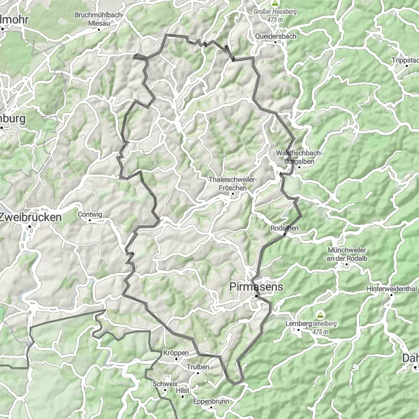
Map
The Mountain Madness Challenge is a 93-kilometer road cycling route that pushes even the most seasoned cyclists to their limits. With a grueling ascent of 1405 meters, this route is designed for experienced riders seeking a true test of skill and endurance. The difficulty rating of this route is 5, making it suitable only for highly trained cyclists. Prepare to be awe-inspired as you face the challenge head-on and conquer the peaks of Rheinhessen-Pfalz.
road
93 km
1405 m
Savage
Route profile
Highlights on the route
0 km
0 km
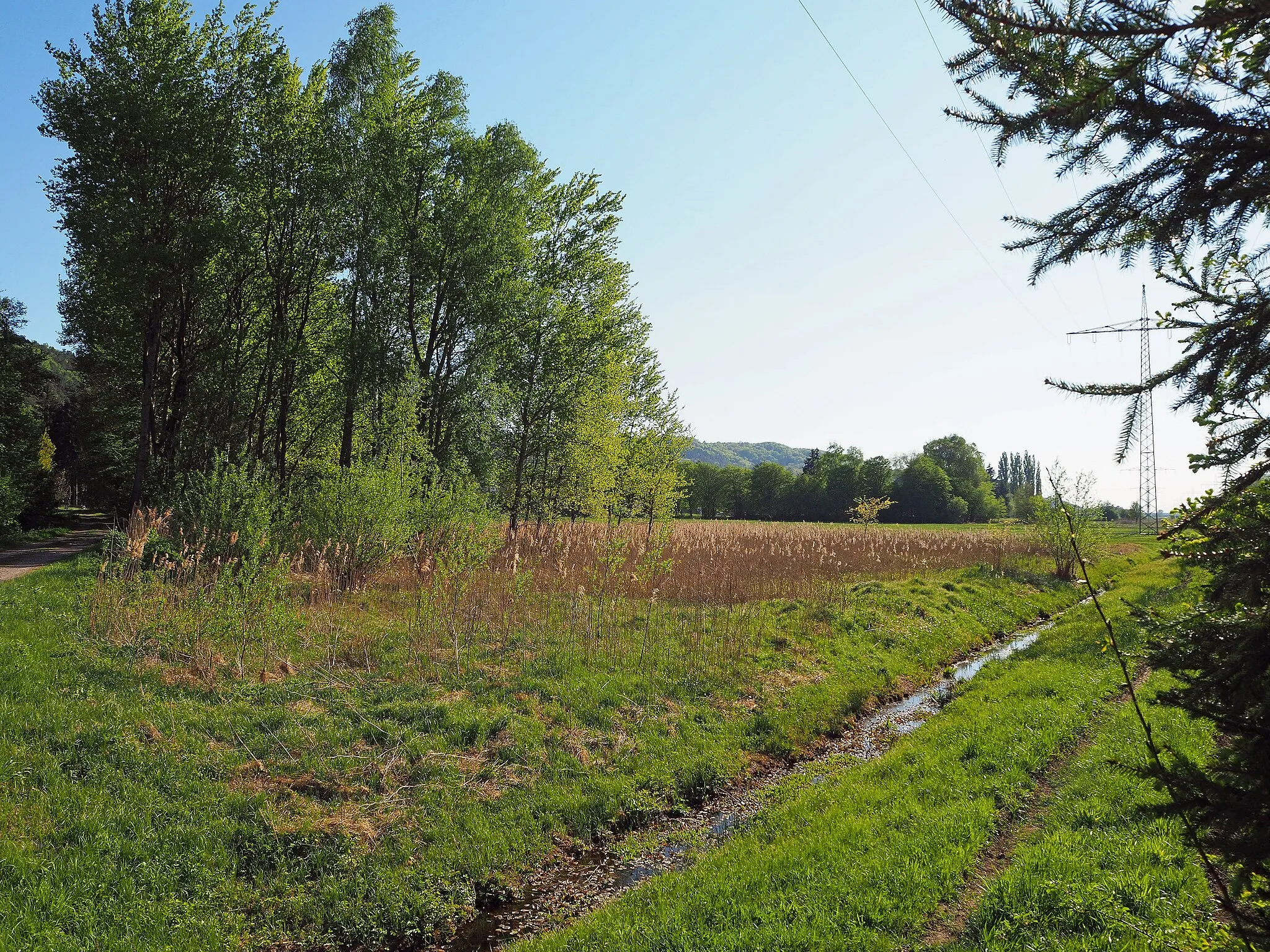
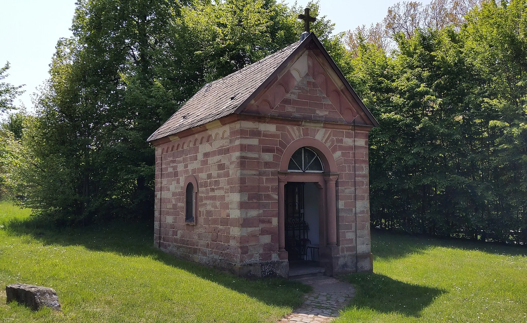
Start: Martinshöhe Village centerMartinshöhe: Discover the rural and forested roads of Martinshöhe on a road or gravel bike.
Martinshöhe is a small village located in the Rheinhessen-Pfalz region of Germany. It offers a mix of rural and forested roads, making it suitable for road and gravel cycling. The roads are well-maintained and provide a smooth riding experience. There are also several nearby cycling routes, such as the Pfälzerwald Radwanderweg, that offer beautiful views of the surrounding countryside. One of the well-known climbing areas nearby is the Donnersberg, which provides a challenge for cyclists. Overall, Martinshöhe is a great destination for cyclists looking to explore the rural landscapes of Germany.7 km
7 km
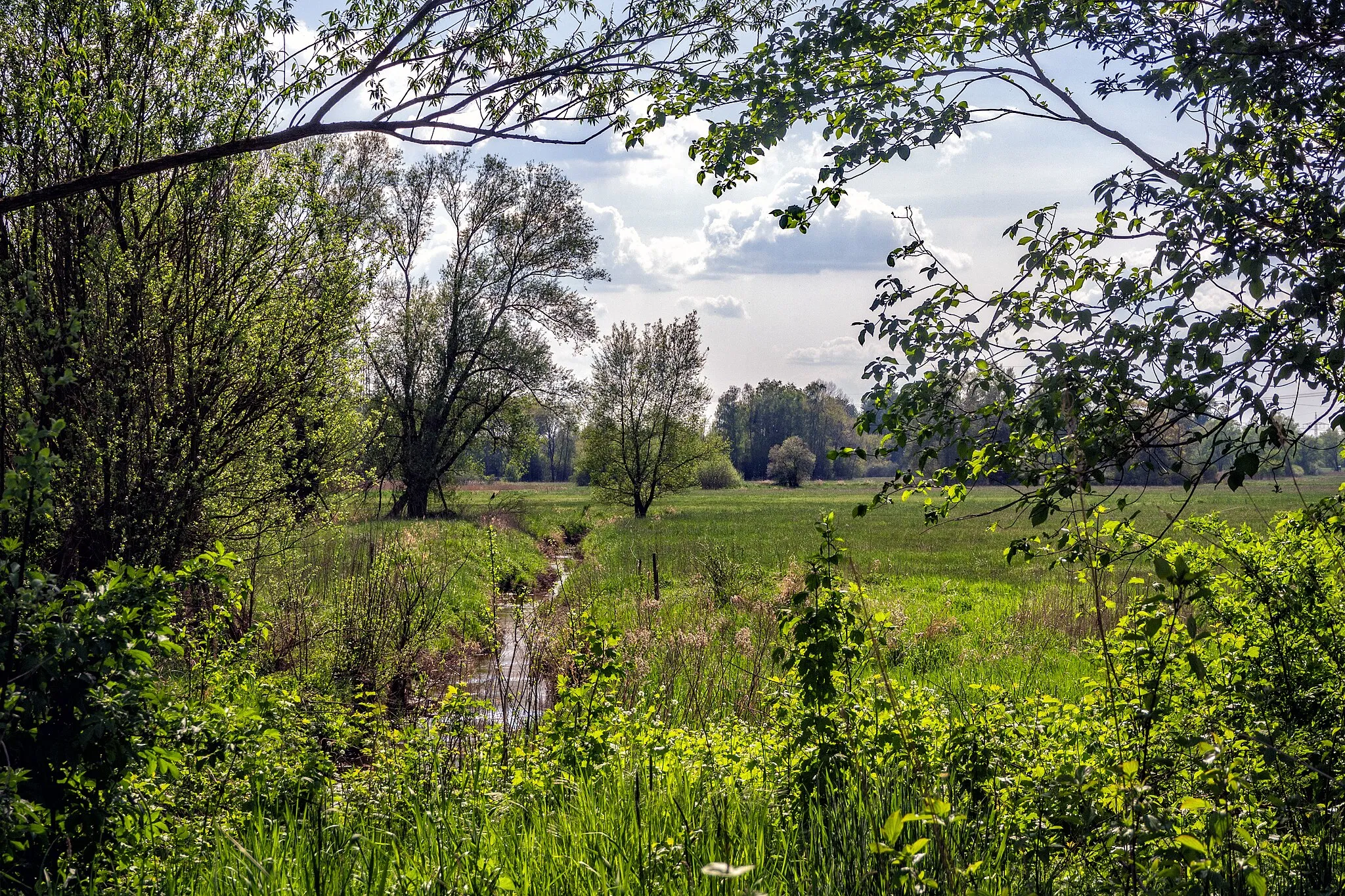
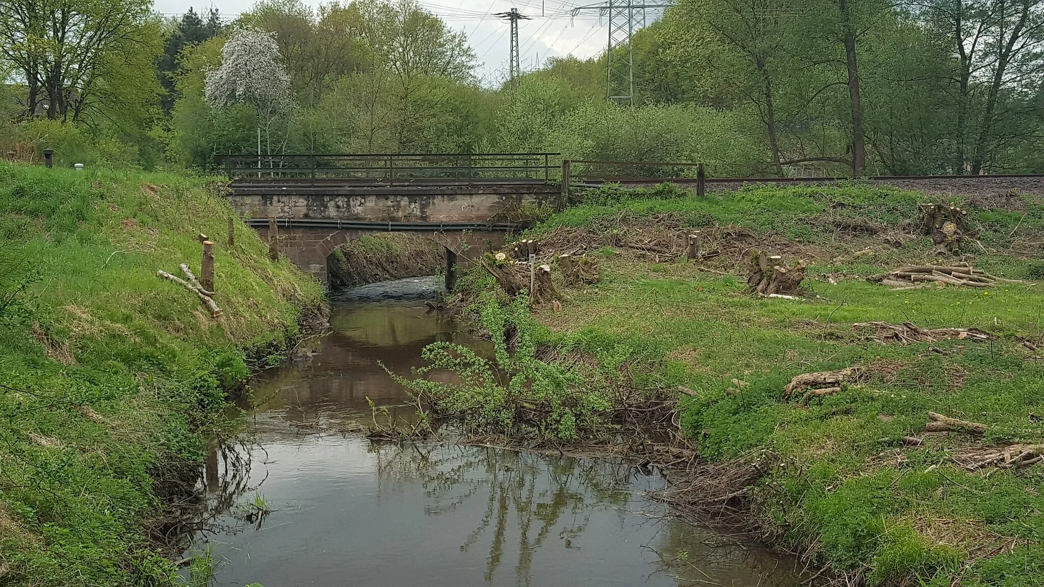
MittelbrunnVillageMittelbrunn, situated at the foot of imposing mountains, boasts stunning views and a picturesque old town to explore.
10 km
10 km
Rothkopf424 mPeakRothkopf offers a thrilling ascent for cyclists, rewarded with breathtaking views from the summit.
24 km
24 km
Rohkopf408 mPeakRohkopf provides a challenge for your climbing skills and offers sensational panoramic vistas of the surrounding landscapes.
34 km
34 km
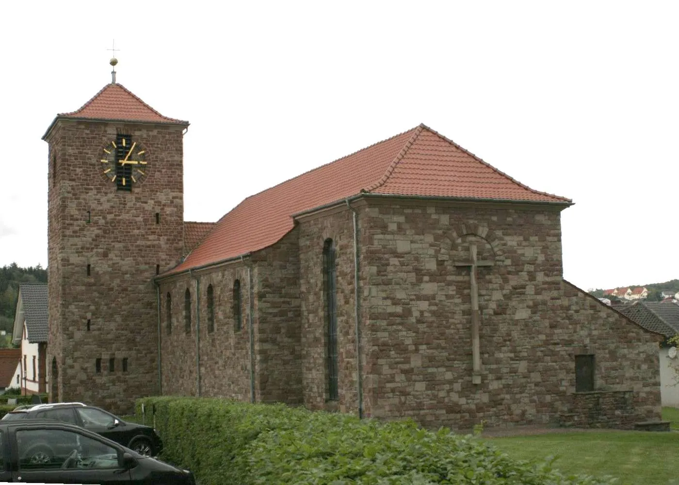
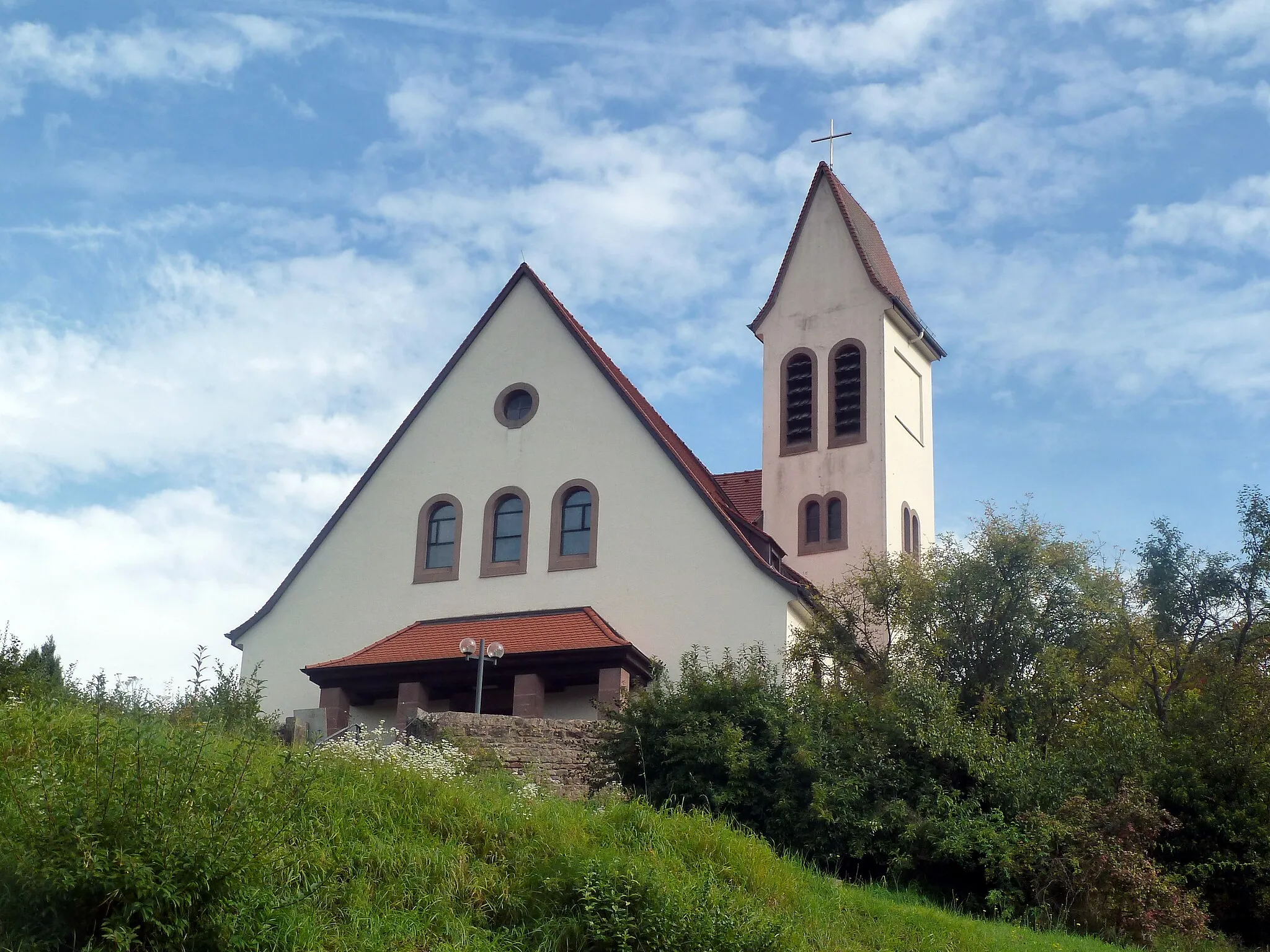
RodalbenVillageRodalben is not just famous for its tough ascent, but also for its well-preserved castle that adds an extra touch of history to your journey.
53 km
53 km
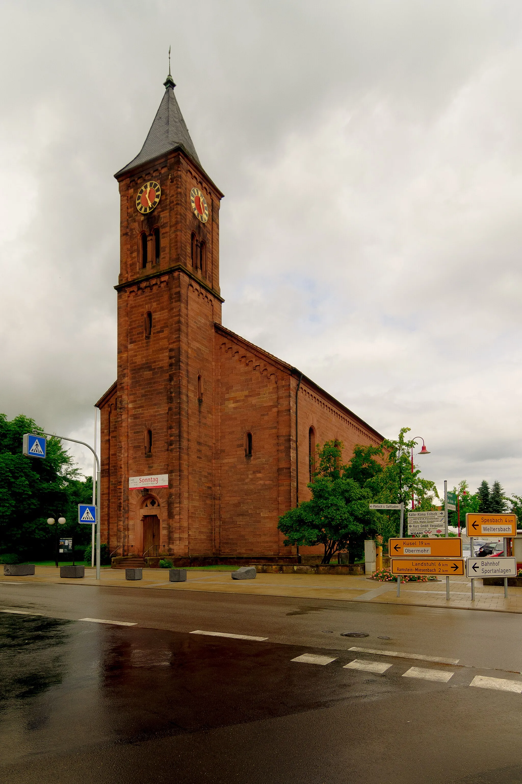
VinningenVillageVinningen, with its charming vineyards snaking up the hillsides, astonishes visitors with astounding scenery and fantastic wine tastings.
57 km
57 km
Steinberg385 mPeakSteinberg captures the essence of a typical mountain village, offering stunning vistas and idyllic surroundings.
72 km
72 km
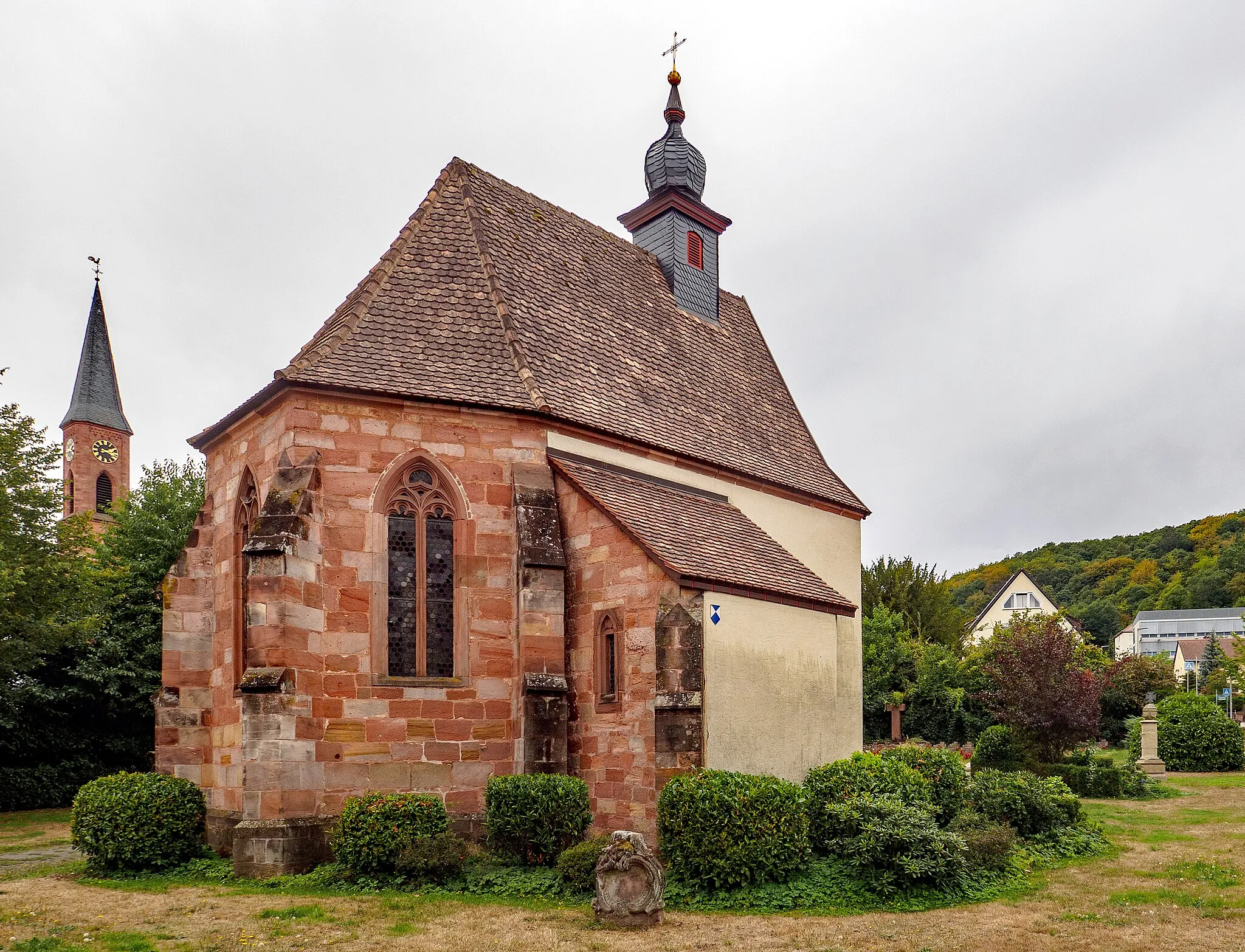
Rieschweiler-MühlbachVillageRieschweiler-Mühlbach fascinates with its ancient history, presenting archaeological sites and ruins waiting to be explored.
75 km
75 km
Maiersberg359 mPeakMaiersberg challenges cyclists with a steep climb up its scenic hills, rewarding them with panoramic vistas that make it worth the effort.
93 km
93 km
Finish: Martinshöhe Village centerMartinshöhe: Discover the rural and forested roads of Martinshöhe on a road or gravel bike.
Cycling routes from Martinshohe:
Forests and Hills Route Mountain View Loop Valleys and Hills Adventure Mountain Madness Challenge Countryside Delight The Landstuhl Loop Best of Rheinhessen-Pfalz Gravel Road Cycling Adventure in Rheinhessen-Pfalz Quaint Gravel Discoveries in Rheinhessen-Pfalz Adventurous Gravel Ride in Rheinhessen-Pfalz Road Cycling Journey through Rheinhessen-Pfalz
Cycling routes nearby: