Hills and Valleys Road Ride
A road cycling route starting from Steinwenden
Experience the beauty of Rheinhessen-Pfalz on a stunning road cycling adventure
Map
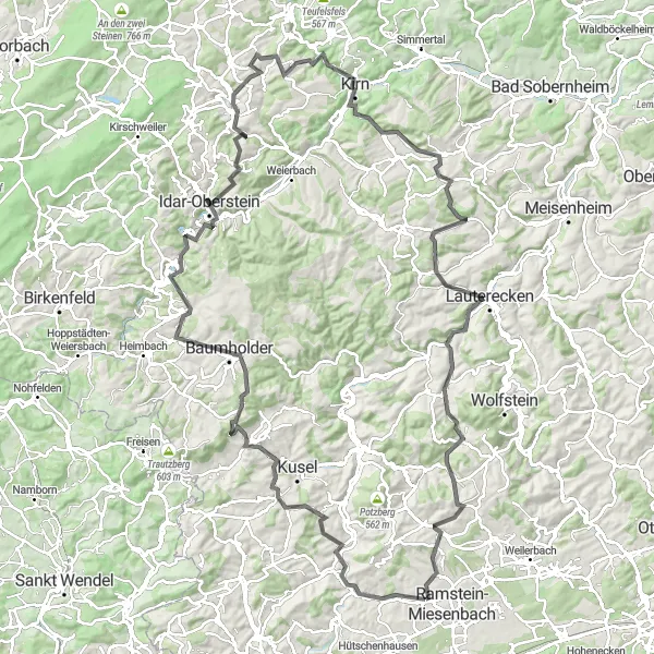
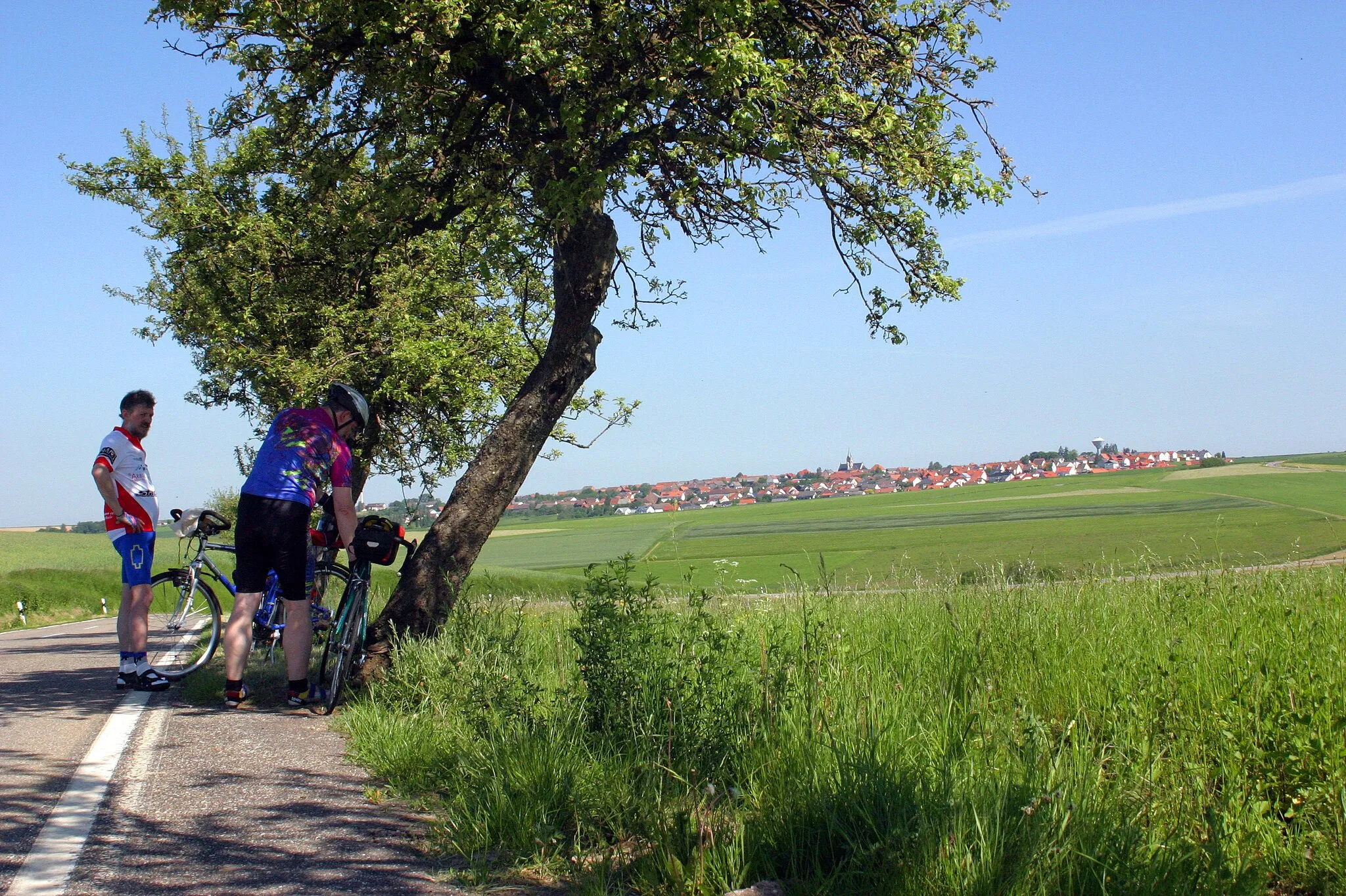
The Hills and Valleys Road Ride is a scenic 134 km route starting near Steinwenden in Rheinhessen-Pfalz, Germany. With an ascent of 2089 m, this journey offers a challenging yet rewarding experience for road cyclists. The route takes riders through rolling hills, picturesque valleys, and charming villages. Highlights along the way include Klingelberg, Oberstein, and Hundsbach. Cyclists will have the opportunity to witness the diverse landscapes of the region while enjoying the peaceful atmosphere. The Hills and Valleys Road Ride is a memorable cycling adventure offering a perfect blend of natural beauty and cultural immersion.
road
134 km
2089 m
Tough
Route profile
Highlights on the route
0 km
0 km
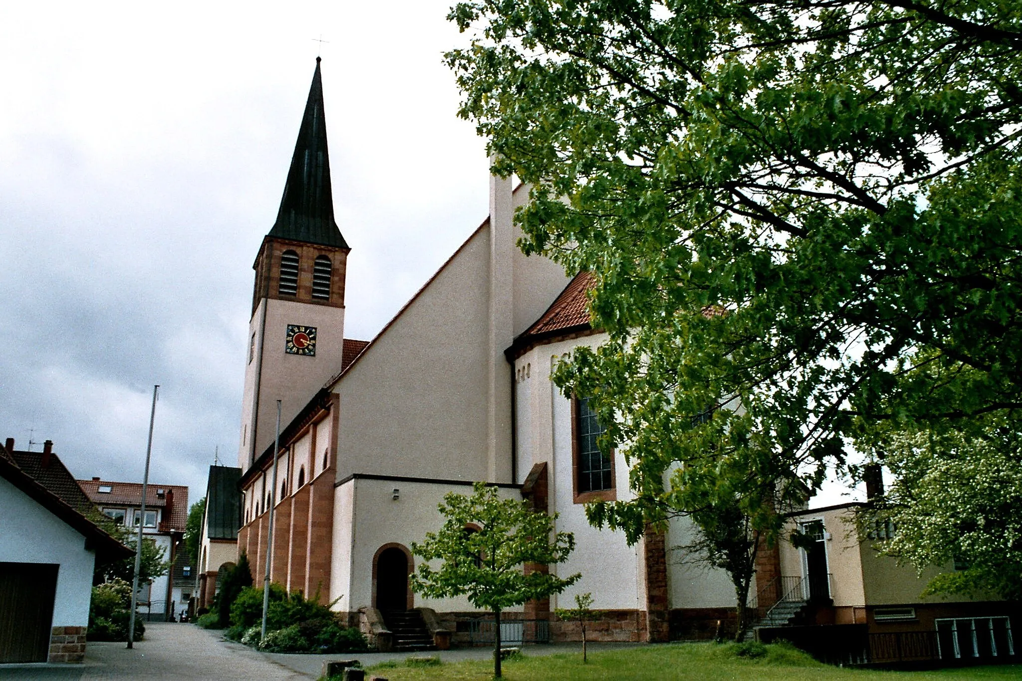
Start: Steinwenden Village centerSteinwenden: Enjoy beautiful vineyards and conquer the Donnersberg climb
Steinwenden, located in the Rheinhessen-Pfalz region of Germany, is a charming locality surrounded by beautiful natural landscapes. From a road and gravel cyclist's point of view, Steinwenden offers a mix of flat and hilly cycling routes suitable for different skill levels. Cyclists can enjoy riding through scenic vineyards, picturesque villages, and rolling countryside. A notable cycling spot near Steinwenden is the Donnersberg, a well-known climb that offers breathtaking views from the top. Whether you prefer challenging climbs or leisurely rides, Steinwenden provides a pleasant experience for cyclists.4 km
4 km
Klingelberg243 mPeakKlingelberg, located 4 km from the start, is a quiet village with lovely vistas and a traditional atmosphere.
26 km
26 km
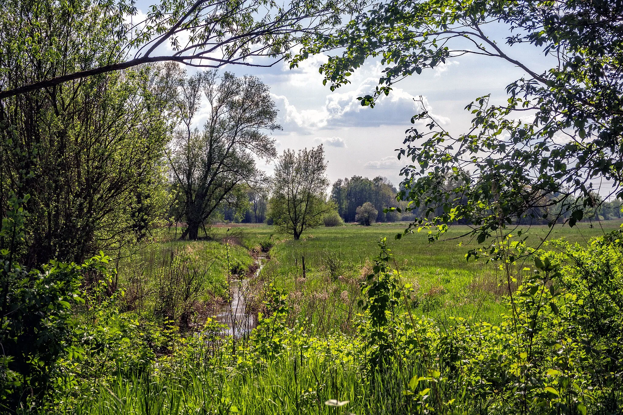
Mittelberg550 mPeakMittelberg, situated 26 km into the route, offers panoramic views of the surrounding countryside and a tranquil atmosphere.
39 km
39 km
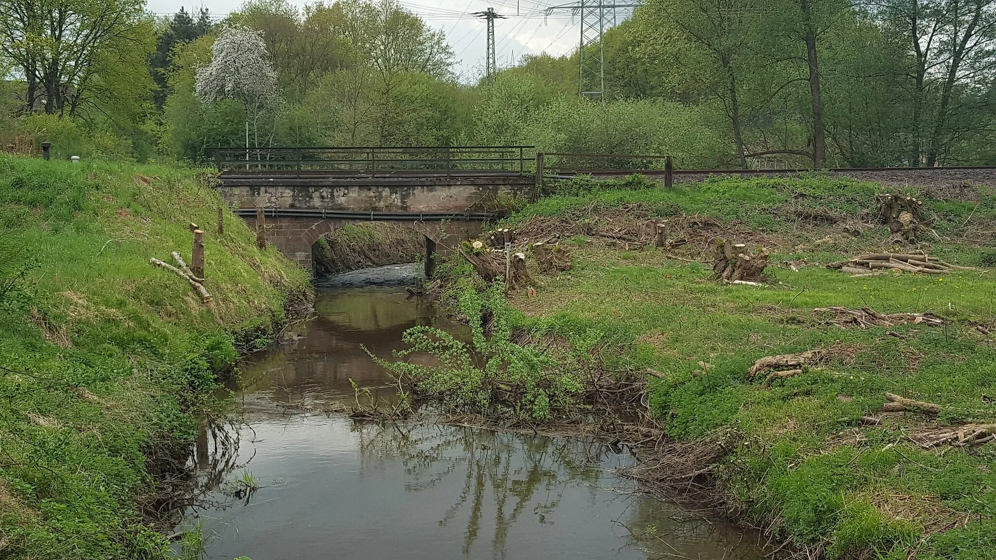
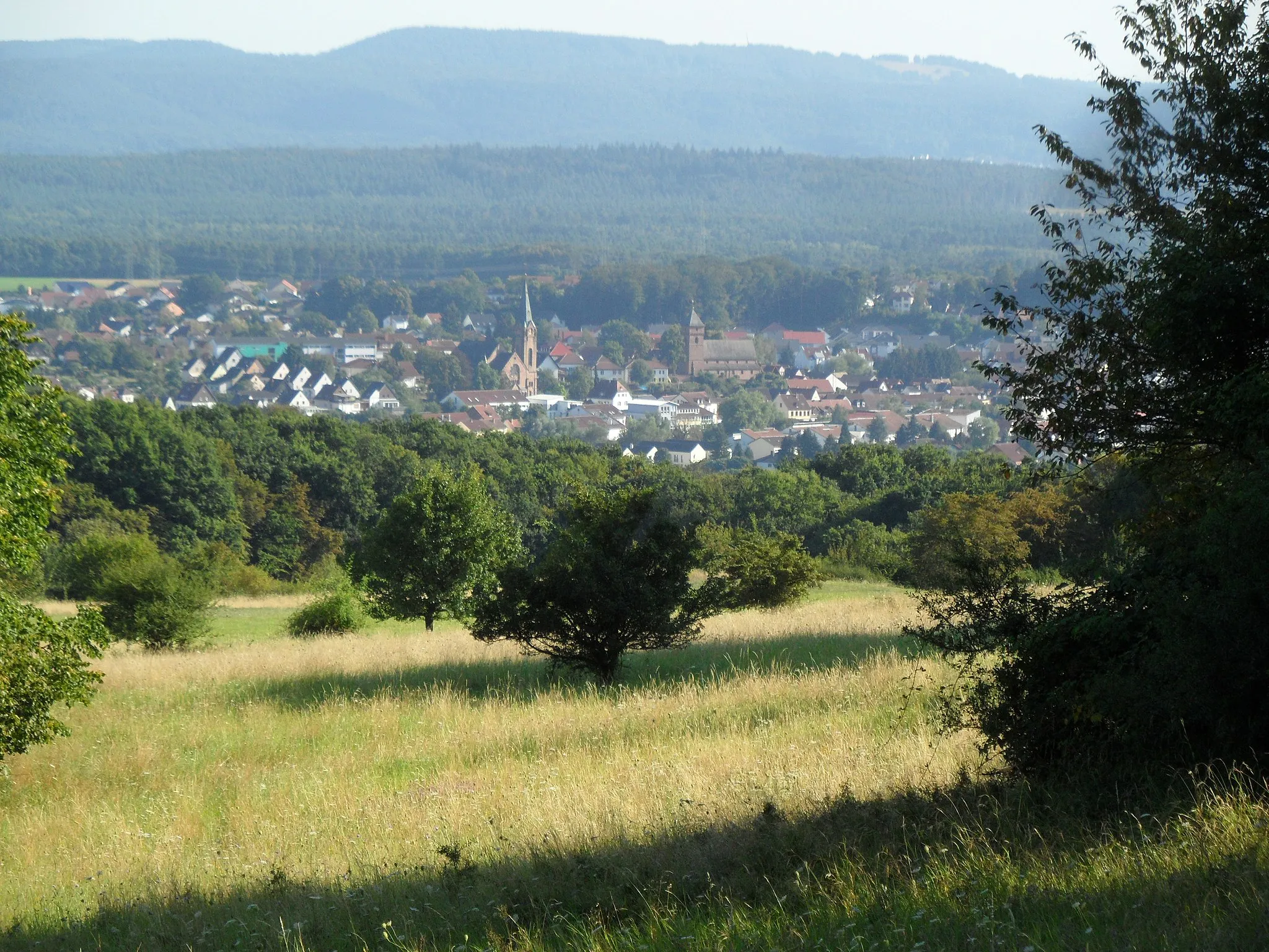
ReichenbachVillageReichenbach, at a distance of 39 km, is a picturesque village known for its charming half-timbered houses and picturesque streets.
43 km
43 km
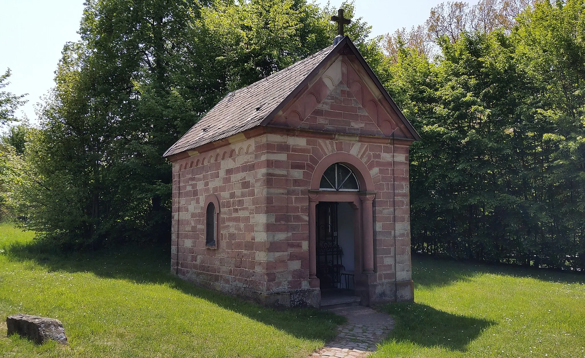
BergfriedViewpointBergfried, situated 43 km into the route, is a quaint hilltop castle ruin providing a glimpse into the region's rich history.
52 km
52 km
Bismarckturm Idar-ObersteinViewpointBismarckturm Idar-Oberstein, located 52 km from the start, offers panoramic views of Idar-Oberstein's surrounding landscapes and historic landmarks.
53 km
53 km
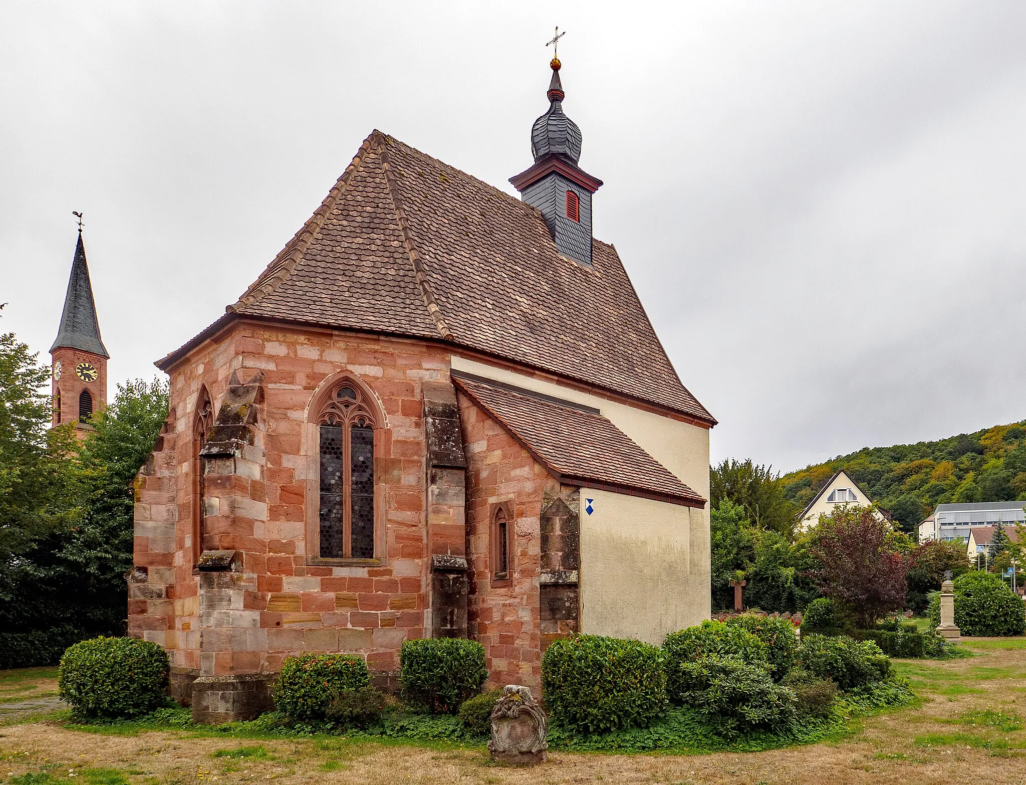
Idar-ObersteinTownIdar-Oberstein, situated at a distance of 53 km, is renowned for its stunning gemstone industry and picturesque town center.
64 km
64 km
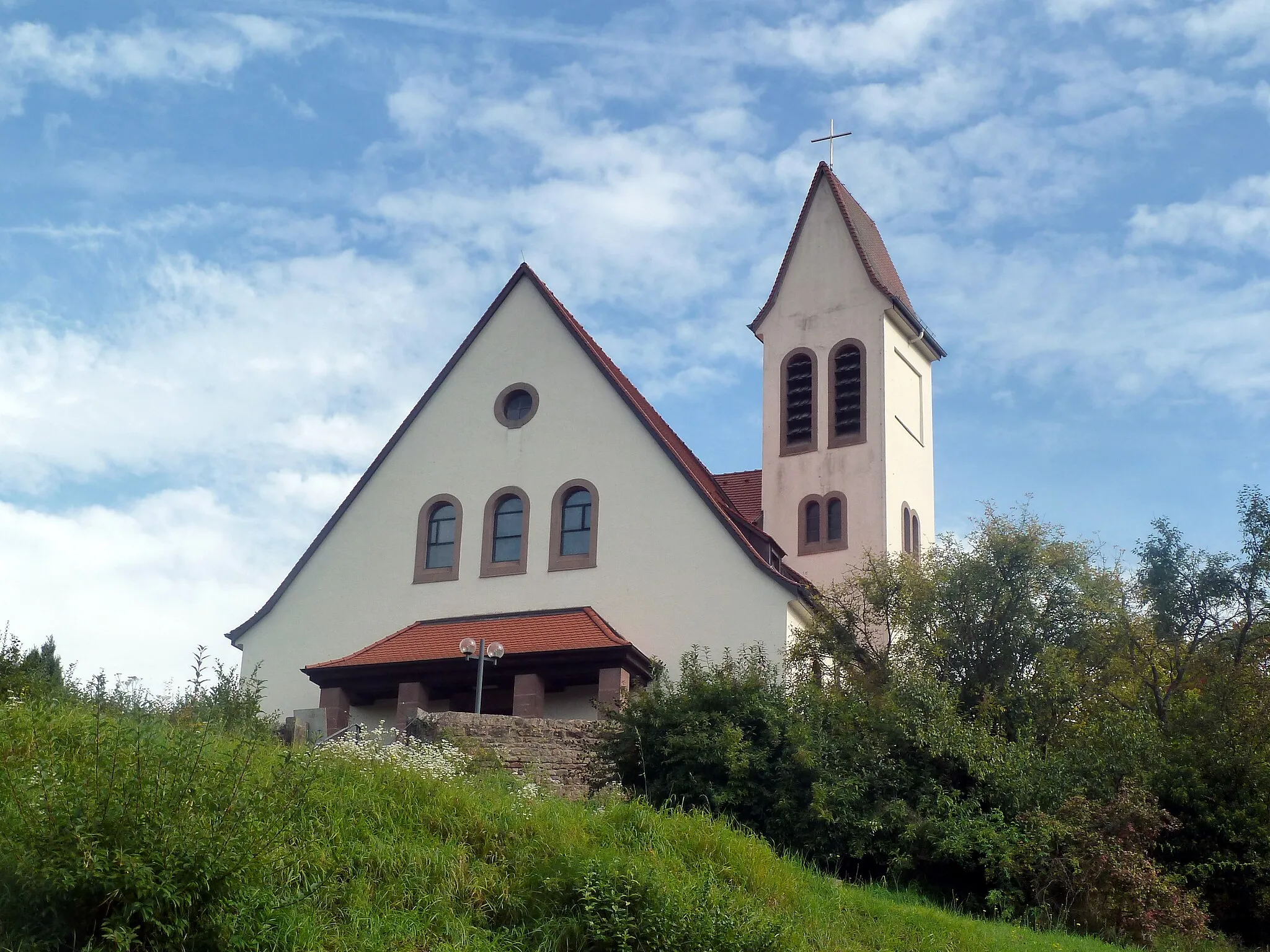
HerrsteinVillageHerrstein, at a distance of 64 km, is a charming medieval town with well-preserved half-timbered houses and winding streets.
68 km
68 km
Hosenberg426 mPeakHosenberg, located 68 km into the route, offers a unique hilltop castle and incredible views of the surrounding landscapes.
79 km
79 km
KirnTownKirn, at a distance of 79 km, is a historic city renowned for its brewery and breathtaking views over the Nahe Valley.
80 km
80 km
Gauskopf386 mPeakGauskopf, situated 80 km into the route, is a scenic hilltop with panoramic views of the Hundsbach and Glan valleys.
92 km
92 km
HundsbachVillage106 km
106 km
LautereckenTown115 km
115 km
HinzweilerVillage130 km
130 km
Wachthübel371 mPeak134 km
134 km
Finish: Steinwenden Village centerSteinwenden: Enjoy beautiful vineyards and conquer the Donnersberg climb
Cycling routes nearby: