Höcherberg Road Ride
A road cycling route starting from Steinwenden
Conquer the challenging climbs of Höcherberg on this 110 km road route.
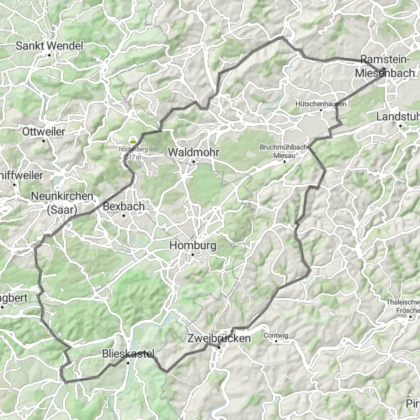
Map
The Höcherberg Road Ride is a challenging tour that will truly test your cycling skills and endurance. With 1,350 meters of ascent over 110 kilometers, this epic route is suitable for experienced cyclists who are looking for a tough challenge.
road
110 km
1350 m
Savage
Route profile
Highlights on the route
0 km
0 km
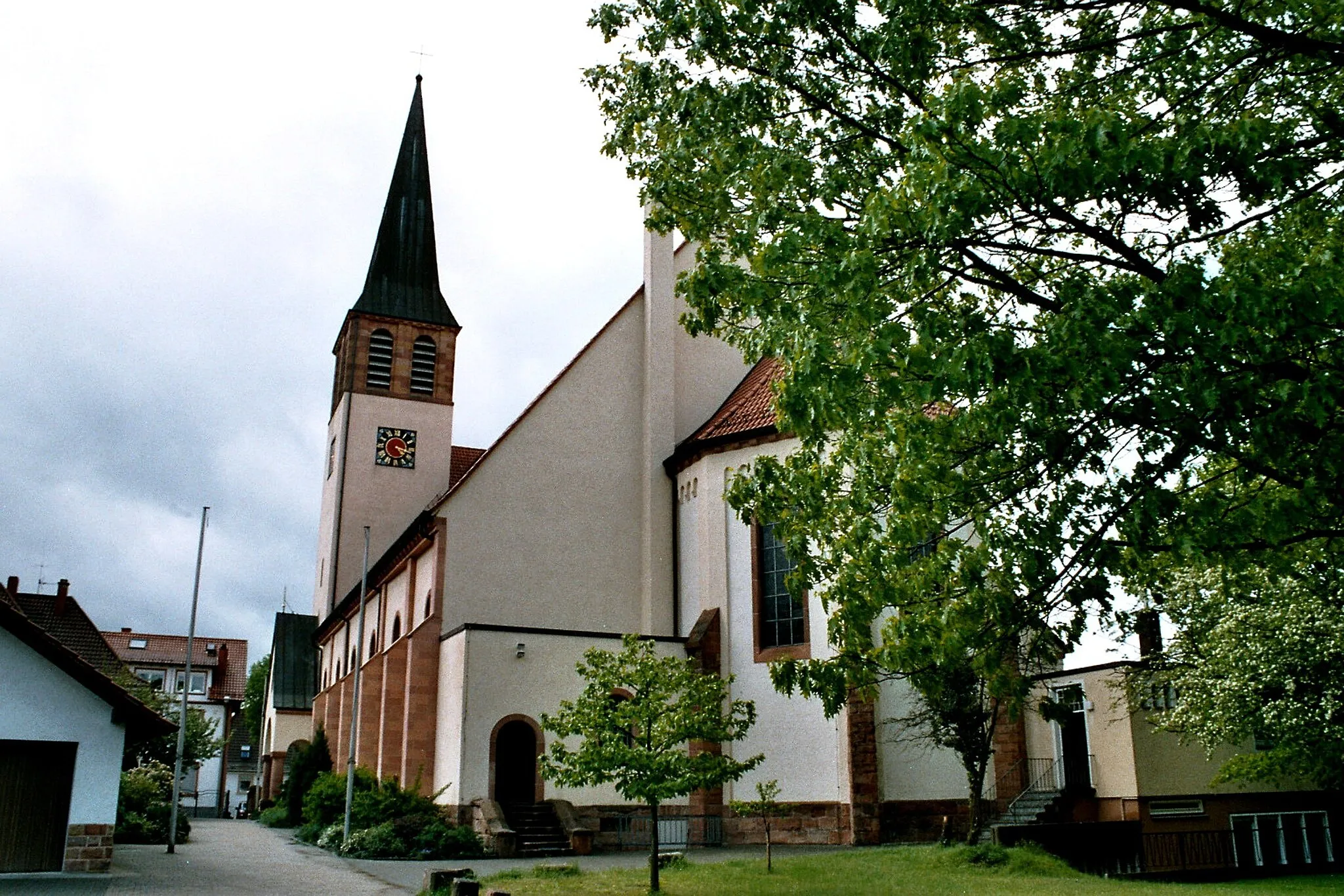
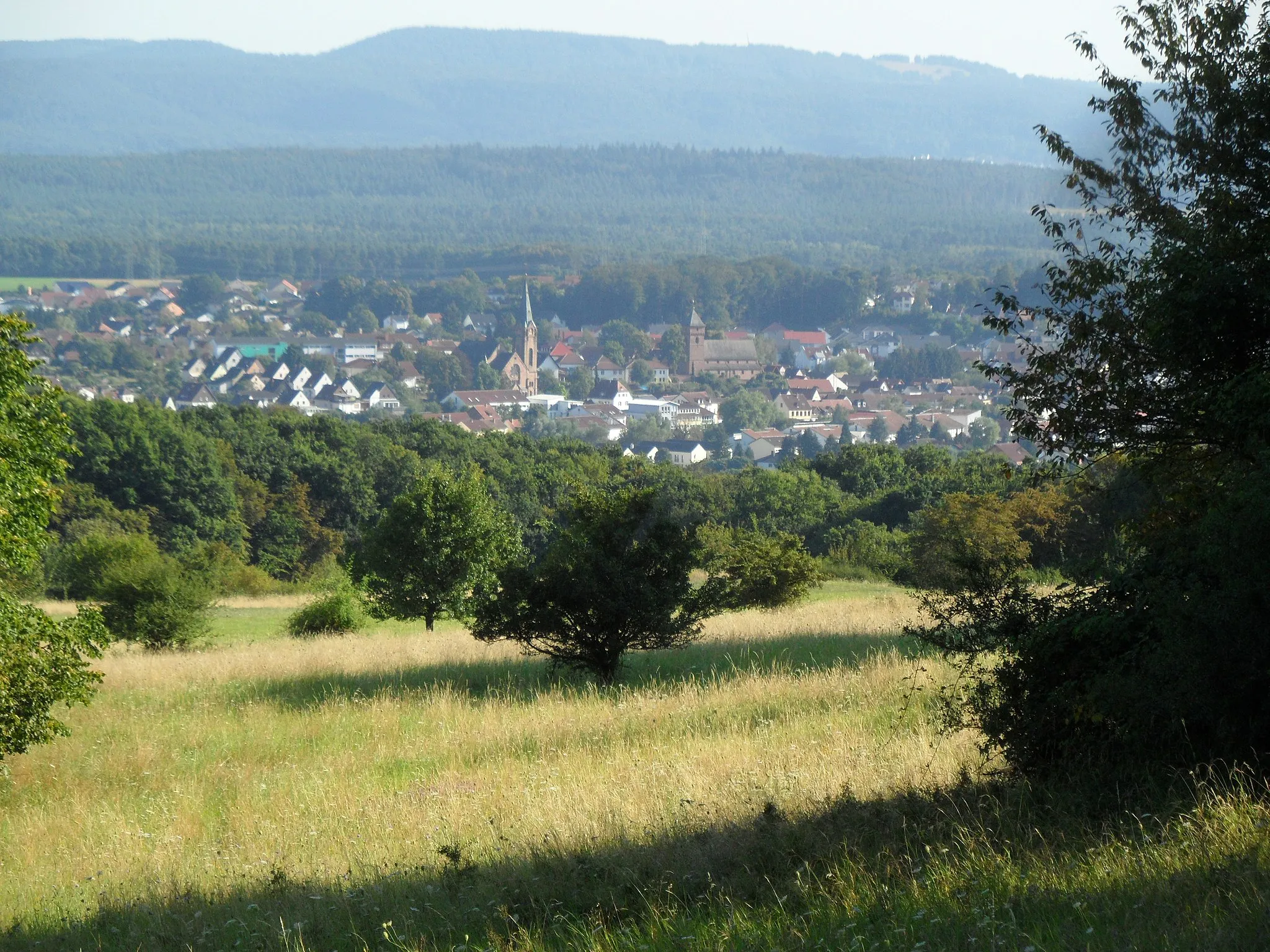
Start: Ramstein-Miesenbach City centerSteinwenden: Enjoy beautiful vineyards and conquer the Donnersberg climb
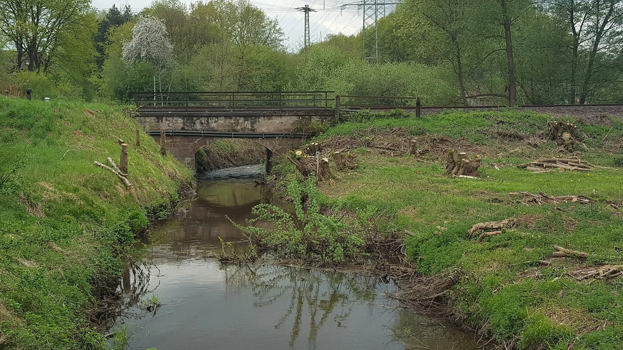
Steinwenden, located in the Rheinhessen-Pfalz region of Germany, is a charming locality surrounded by beautiful natural landscapes. From a road and gravel cyclist's point of view, Steinwenden offers a mix of flat and hilly cycling routes suitable for different skill levels. Cyclists can enjoy riding through scenic vineyards, picturesque villages, and rolling countryside. A notable cycling spot near Steinwenden is the Donnersberg, a well-known climb that offers breathtaking views from the top. Whether you prefer challenging climbs or leisurely rides, Steinwenden provides a pleasant experience for cyclists.9 km
9 km
HauptstuhlVillageHauptstuhl is a quaint village with charming restaurants and cafes, perfect for a pitstop along the way. Take a moment to relax and refuel at one of the local eateries before continuing your journey.
20 km
20 km
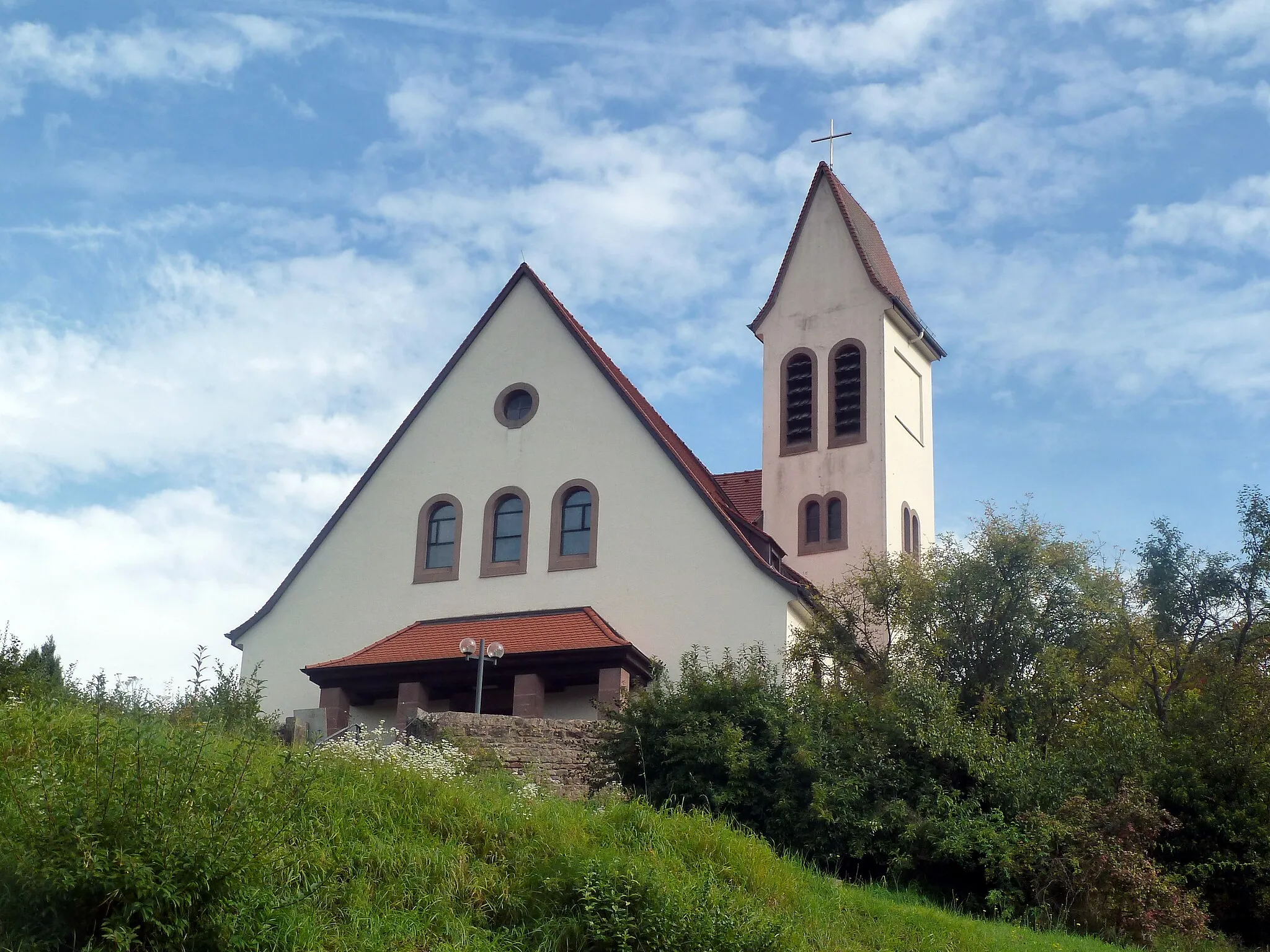
WiesbachVillageWiesbach is home to the Hellenstein Castle, a historic landmark that offers breathtaking views of the surrounding countryside. The castle provides a glimpse into the region's rich history and is worth a visit during your ride.
27 km
27 km
Lammsberg340 mPeakLammsberg is known for its beautiful vineyards and wineries. Take a break from your ride and enjoy a tasting of the locally produced wines, immersing yourself in the region's viticulture tradition.
35 km
35 km
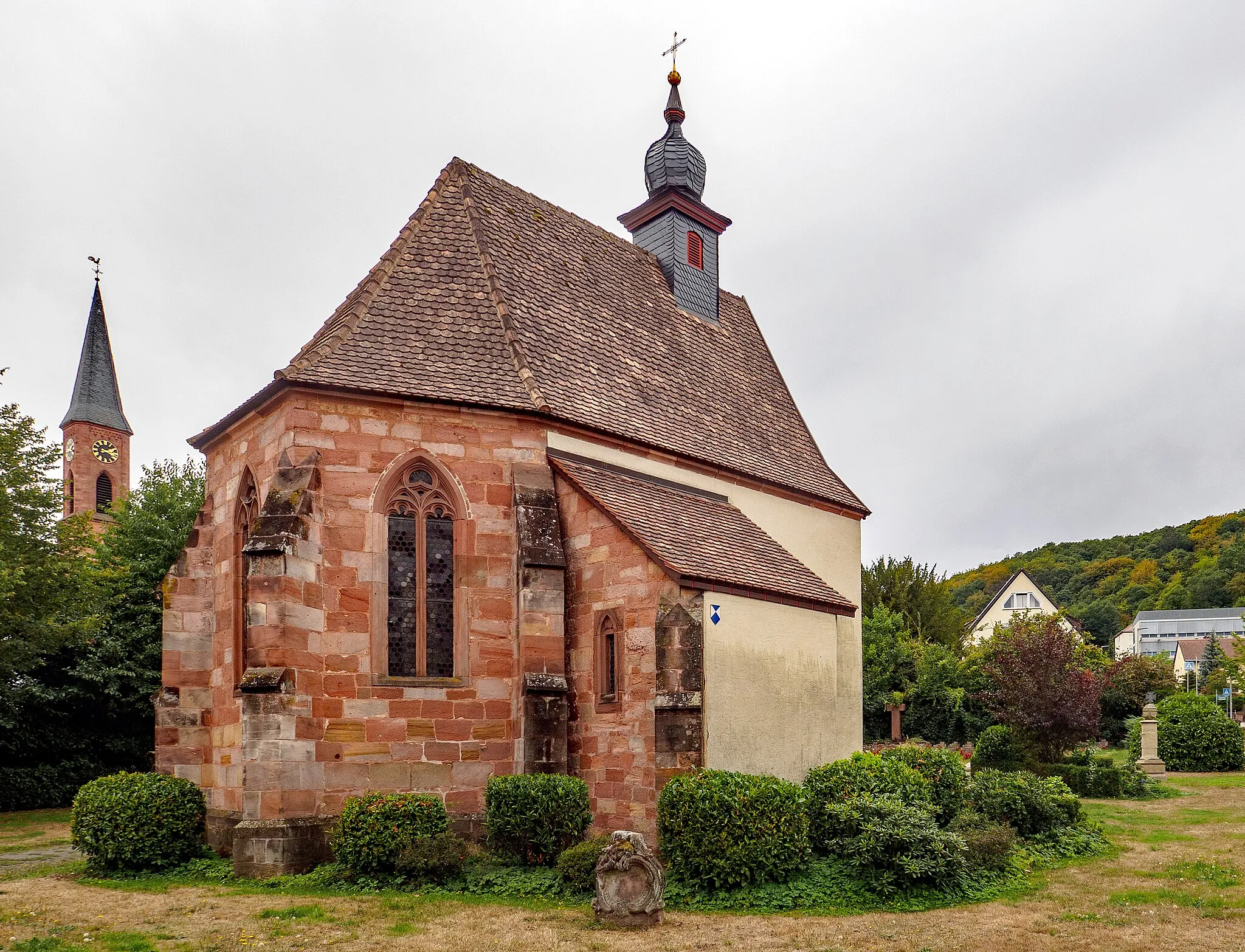
ZweibrückenTownZweibrücken is a charming town with a rich architectural heritage. Explore the Baroque-style buildings, visit the stunning main square, and marvel at the intricate details of the iconic Rose Garden.
42 km
42 km
Große Höhe334 mPeakGroße Höhe offers breathtaking panoramic views of the countryside. Standing atop this hill, you'll feel on top of the world as you look out over the rolling hills and picturesque landscapes of Rheinhessen-Pfalz.
50 km
50 km
BiesingenVillageBiesingen is home to the Ruine Biesingen, the ruins of a medieval castle that provide a glimpse into the region's past. Explore the remnants of the castle and imagine life centuries ago as you soak in the historic atmosphere.
58 km
58 km
Höchste Berg328 mPeakHöchste Berg is the highest point in the area, offering stunning views from its summit. Conquer the challenging ascent and be rewarded with a sense of accomplishment and a spectacular panorama of the surrounding countryside.
79 km
79 km
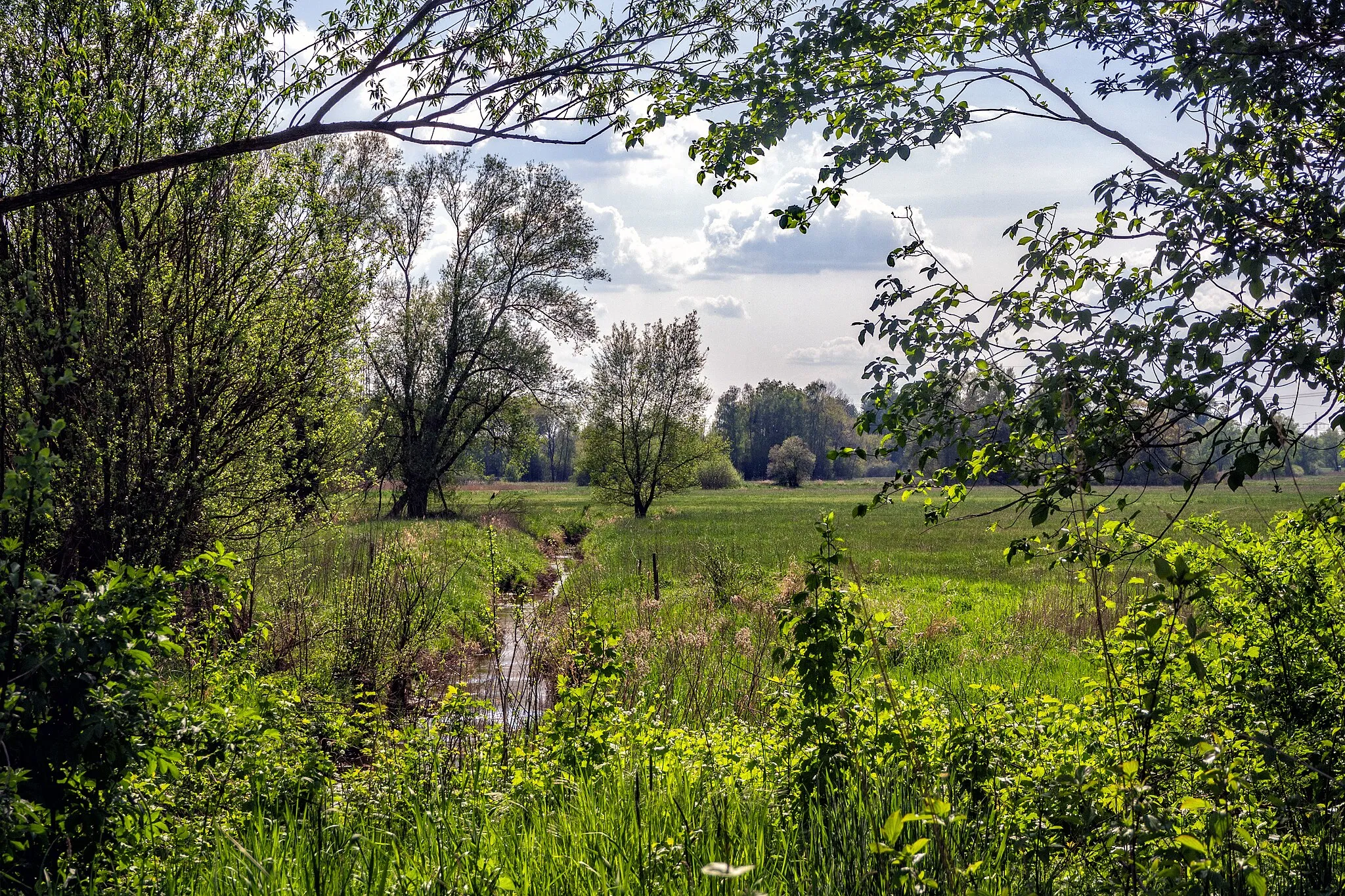
FrankenholzSub-urbFrankenholz is known for its peaceful forests and hiking trails. Take a moment to explore the natural beauty of this area, breathing in the fresh air and enjoying the serenity of the woods.
81 km
81 km
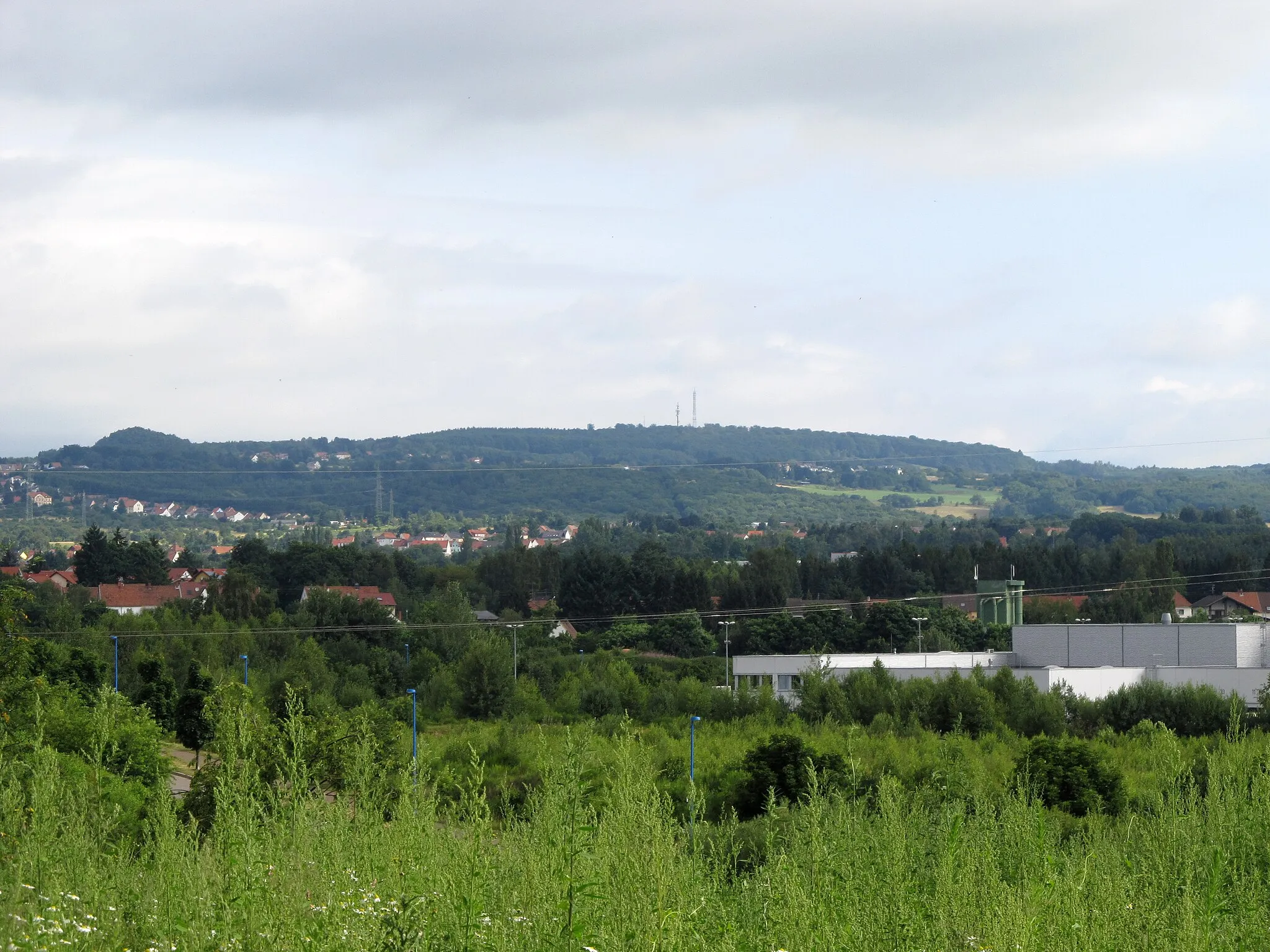
Höcherberg517 mPeakHöcherberg is a local landmark and a challenging climb for cyclists. Ascend its slopes to experience the thrill of conquering this iconic mountain and enjoy the sweeping views from the top.
93 km
93 km
Neumühler-Berg343 mPeakNeumühler-Berg is an idyllic spot surrounded by nature. Take a break from your ride and enjoy a peaceful picnic or simply soak in the tranquility of the picturesque surroundings.
110 km
110 km
Finish: Ramstein-Miesenbach City centerSteinwenden: Enjoy beautiful vineyards and conquer the Donnersberg climb
Cycling routes nearby: