Pirmasens Road Cycling Adventure
A road cycling route starting from Vinningen
Embark on a scenic road cycling adventure starting from Pirmasens.
Map
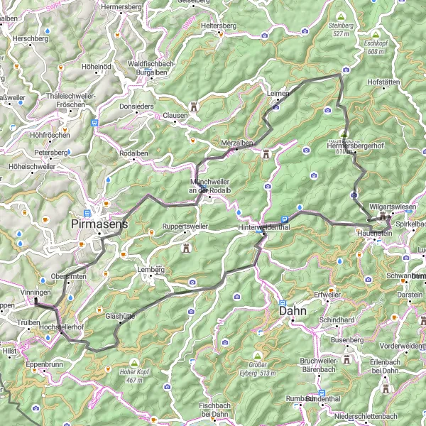
Beginning in Pirmasens, this road cycling route covers a distance of 79 kilometers and features an ascent of 1,066 meters, offering a moderately challenging ride for well-trained amateur cyclists. Along the way, you'll encounter various highlights, including the famous Hochstellerhof, located 76 kilometers into the route. This historical landmark showcases the region's agricultural heritage. Enjoy panoramic views from various viewpoints, such as the Glasberg and imminent scenic landscapes, including the Hinterweidenthal area.
road
79 km
1066 m
Tough
Route profile
Highlights on the route
0 km
0 km
Start: Vinningen Village centerVinningen: Scenic cycling in Rheinhessen-Pfalz, Germany.
Vinningen, situated in Rheinhessen-Pfalz, Germany, offers diverse cycling opportunities for road and gravel cyclists. The region is characterized by rolling hills, scenic vineyards, and charming villages, providing a pleasant and varied riding experience. Cyclists can tackle challenging climbs or opt for more relaxed routes depending on their preferences. Notable cycling-related spots nearby include the idyllic Lake Gelterswoog and the Weinstraße cycle path, known for its picturesque landscapes and excellent wine tasting opportunities. Vinningen is a popular destination for cyclists seeking a combination of challenging terrain and cultural experiences.8 km
8 km
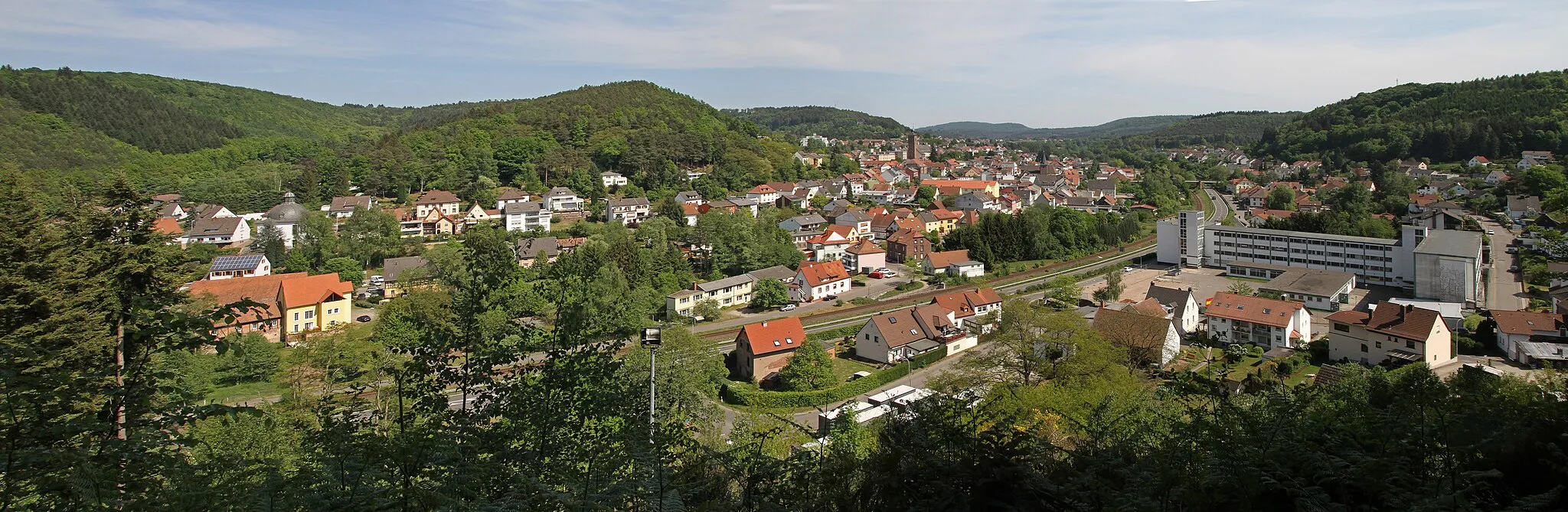
PirmasensTownStart your cycling adventure in Pirmasens, a charming town with a rich history, known for its cultural heritage and beautiful surroundings.
11 km
11 km
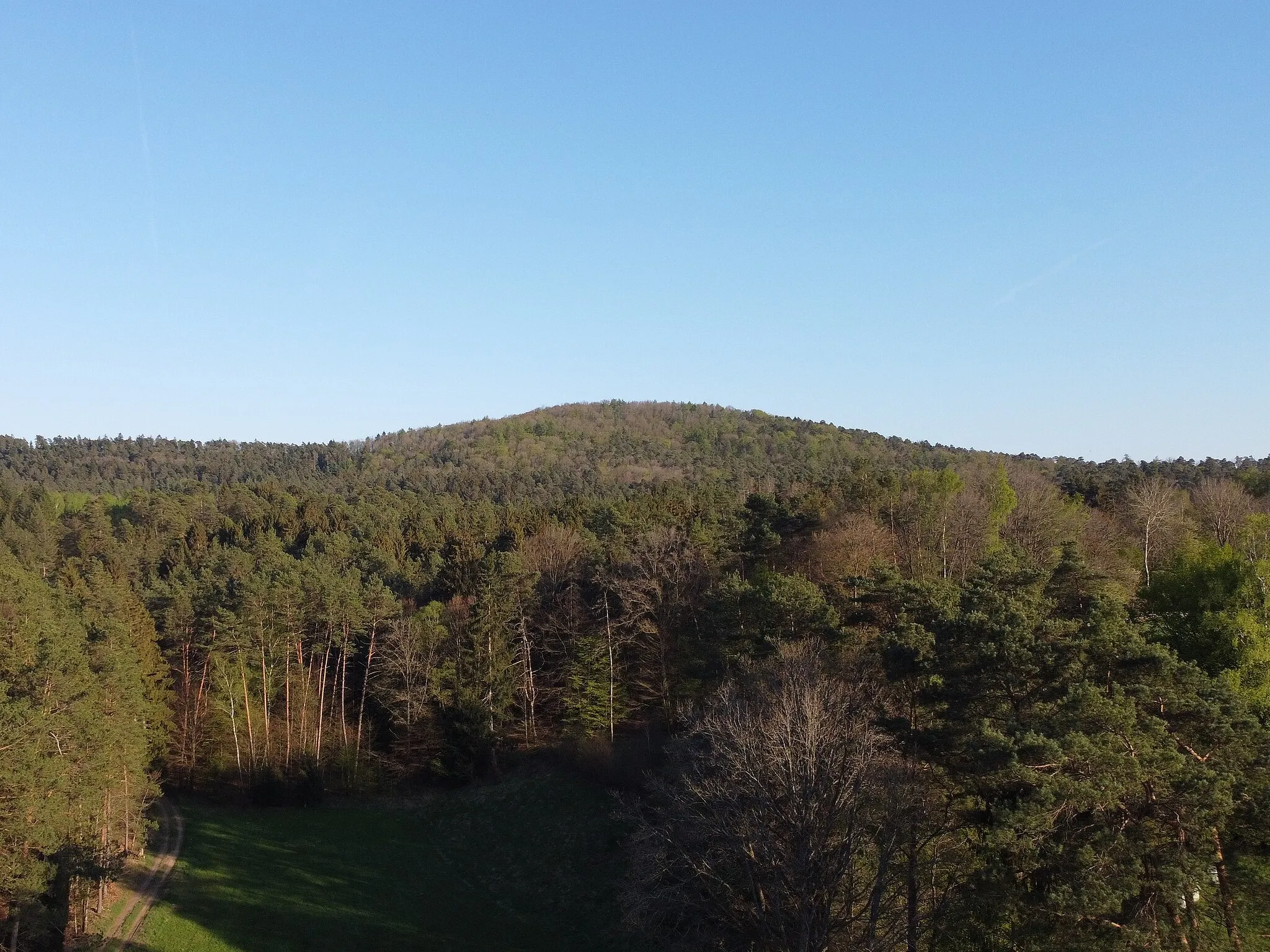
Glasberg416 mPeakClimb to the top of the Glasberg and enjoy breathtaking views of the surrounding landscape, located 11 kilometers into the route.
22 km
22 km
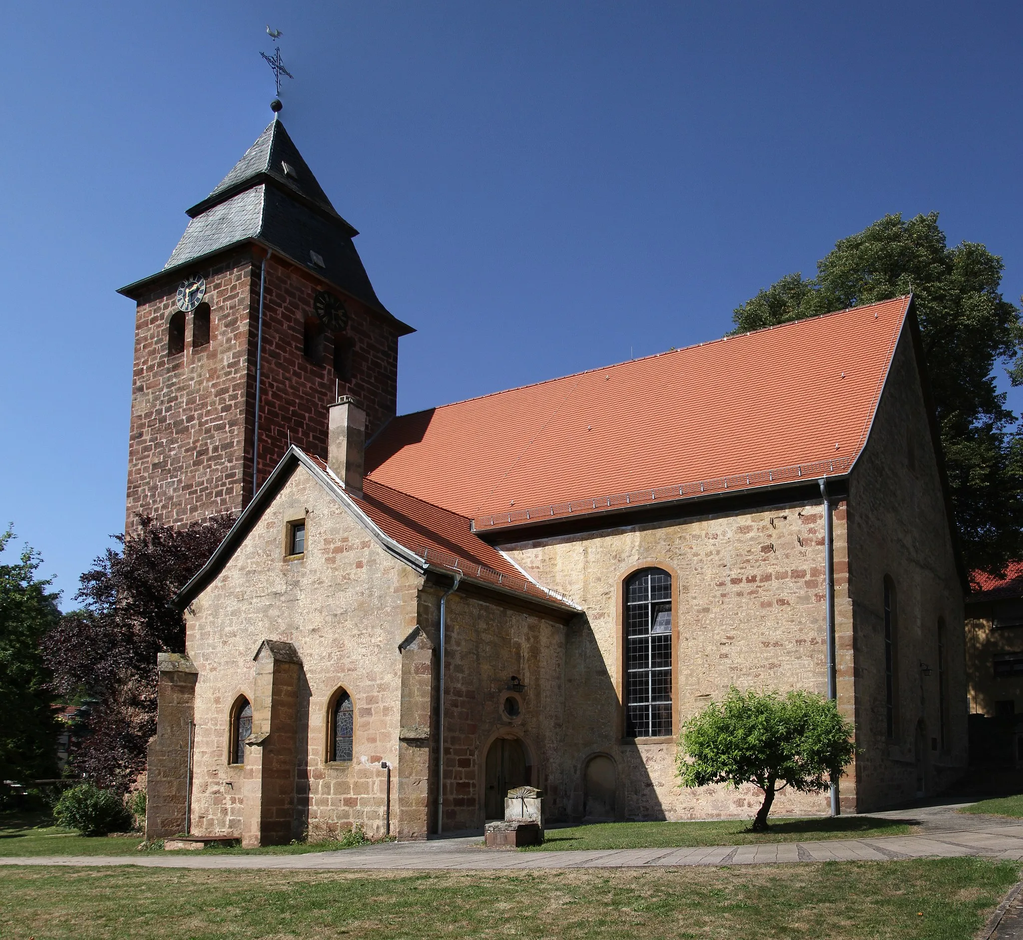
MerzalbenVillageAppreciate the beauty of Merzalben and its charming atmosphere, situated 22 kilometers from the beginning of the route.
35 km
35 km
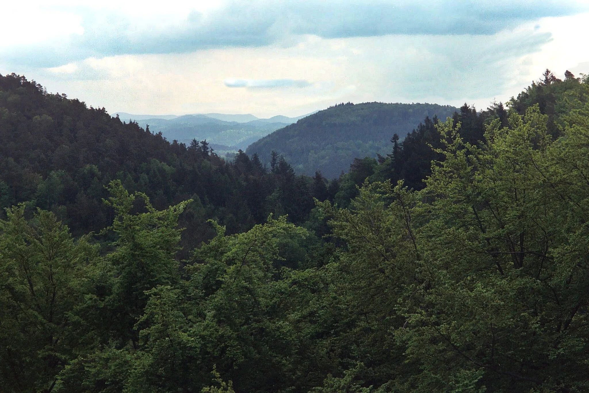
Hortenkopf606 mPeakExperience the stunning scenery and challenging climb to Hortenkopf, located 35 kilometers along the road cycling adventure.
48 km
48 km
Neding336 mPeak ViewpointMake a stop at Neding and discover the historical sights and beautiful landscapes, situated 48 kilometers into the route.
48 km
48 km
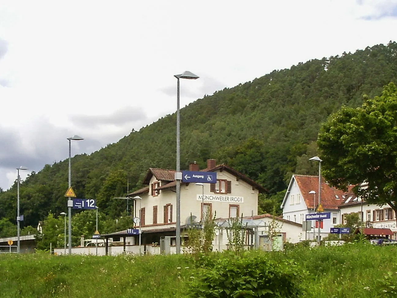
HauensteinVillageIndulge in the breathtaking landscapes and scenery of Hauenstein, located 48 kilometers from the start.
57 km
57 km
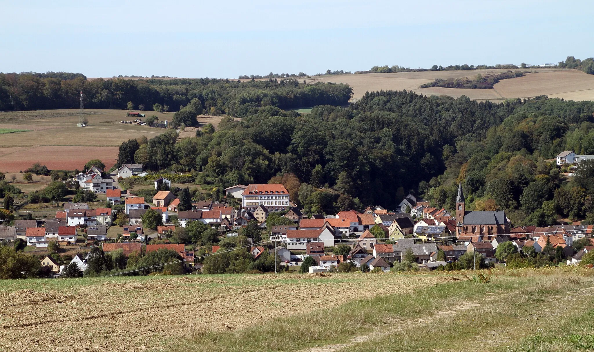
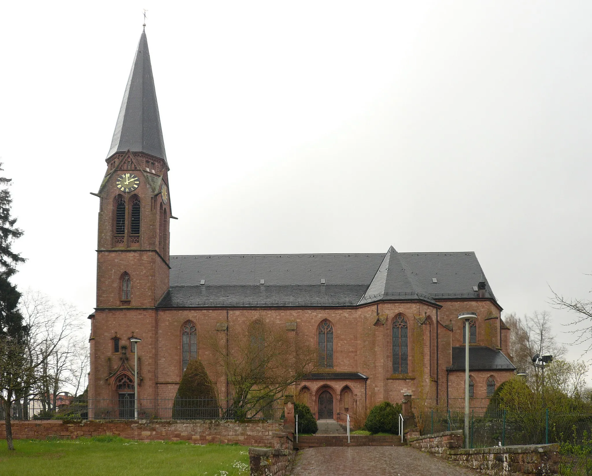
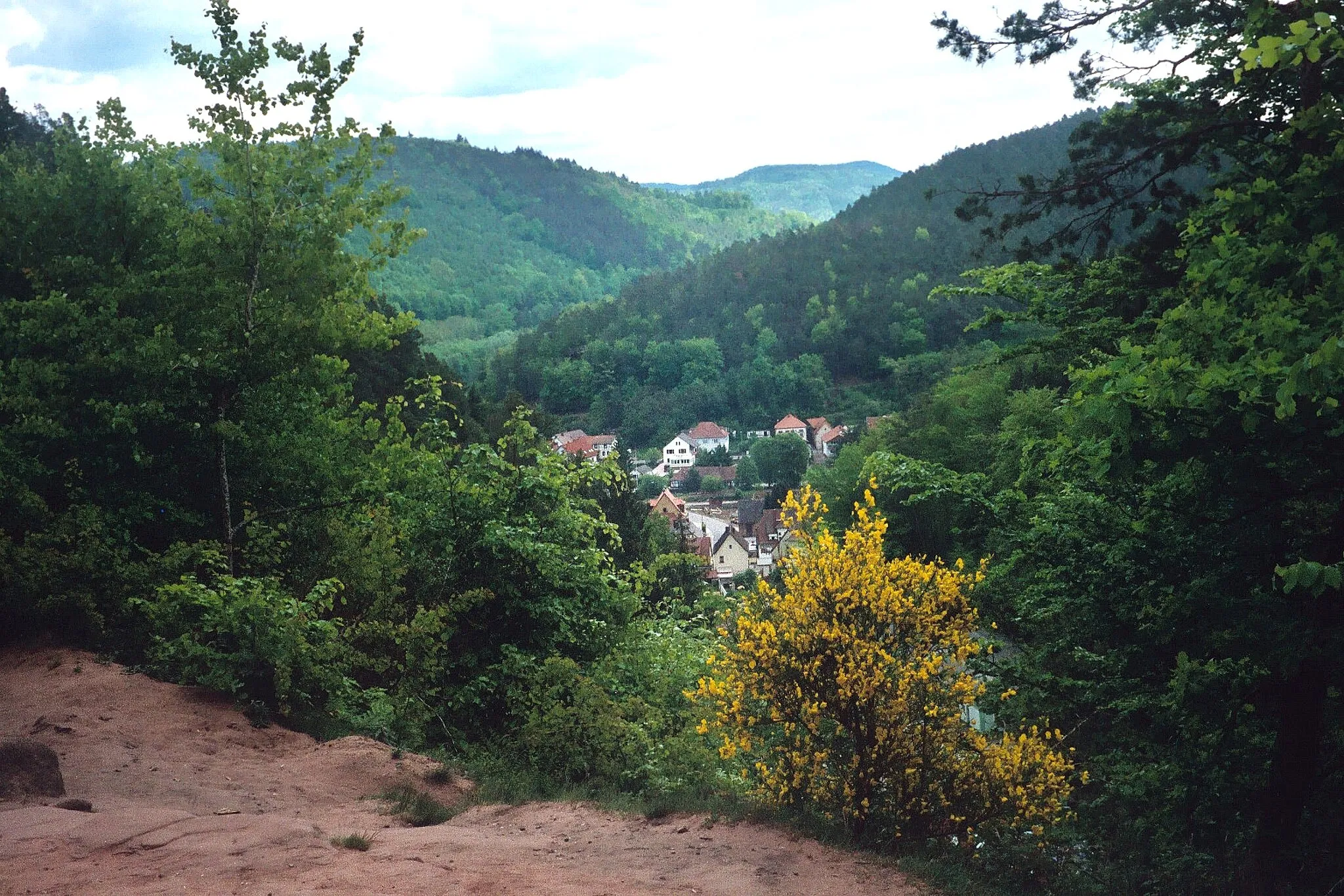
HinterweidenthalVillageEnjoy the scenic beauty of Hinterweidenthal, a picturesque village situated 57 kilometers into the road cycling adventure.
66 km
66 km
Platte405 mPeak ViewpointCapture stunning photos at Platte, a popular viewpoint situated 66 kilometers along the route.
74 km
74 km
Ransberg451 mPeakTake in the impressive scenery and panoramic views from Ransberg, located 74 kilometers from the beginning of the route.
76 km
76 km
HochstellerhofVillageVisit the Hochstellerhof, a historical landmark highlighting the region's farming heritage, located 76 kilometers into the road cycling adventure route.
79 km
79 km
Finish: Vinningen Village centerVinningen: Scenic cycling in Rheinhessen-Pfalz, Germany.
Cycling routes from Vinningen:
Vinningen Gravel Adventure Hidden Treasures Rheinhessen-Pfalz Gravel Cycling Route Pirmasens Road Cycling Adventure Vinningen Epic Road Ride Gravel Adventure Rheinhessen-Pfalz Ultimate Cycling Challenge Hunsrück Classic Rheinhessen-Pfalz Road Cycling Route Lemberg Loop Extreme Gravel Challenge: Pirmasens Circuit Gravel Adventure: Rieschweiler-Mühlbach Loop Scenic Road Cycling: Vinningen Adventure
Cycling routes nearby: