Rheinhessen-Pfalz Road Cycling Route
A road cycling route starting from Vinningen
Experience the winding hills and picturesque landscapes of Rheinhessen-Pfalz on this road cycling adventure.
Map
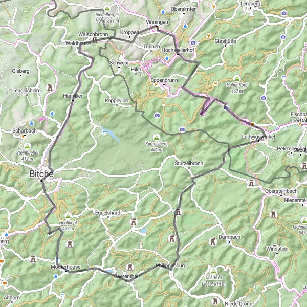
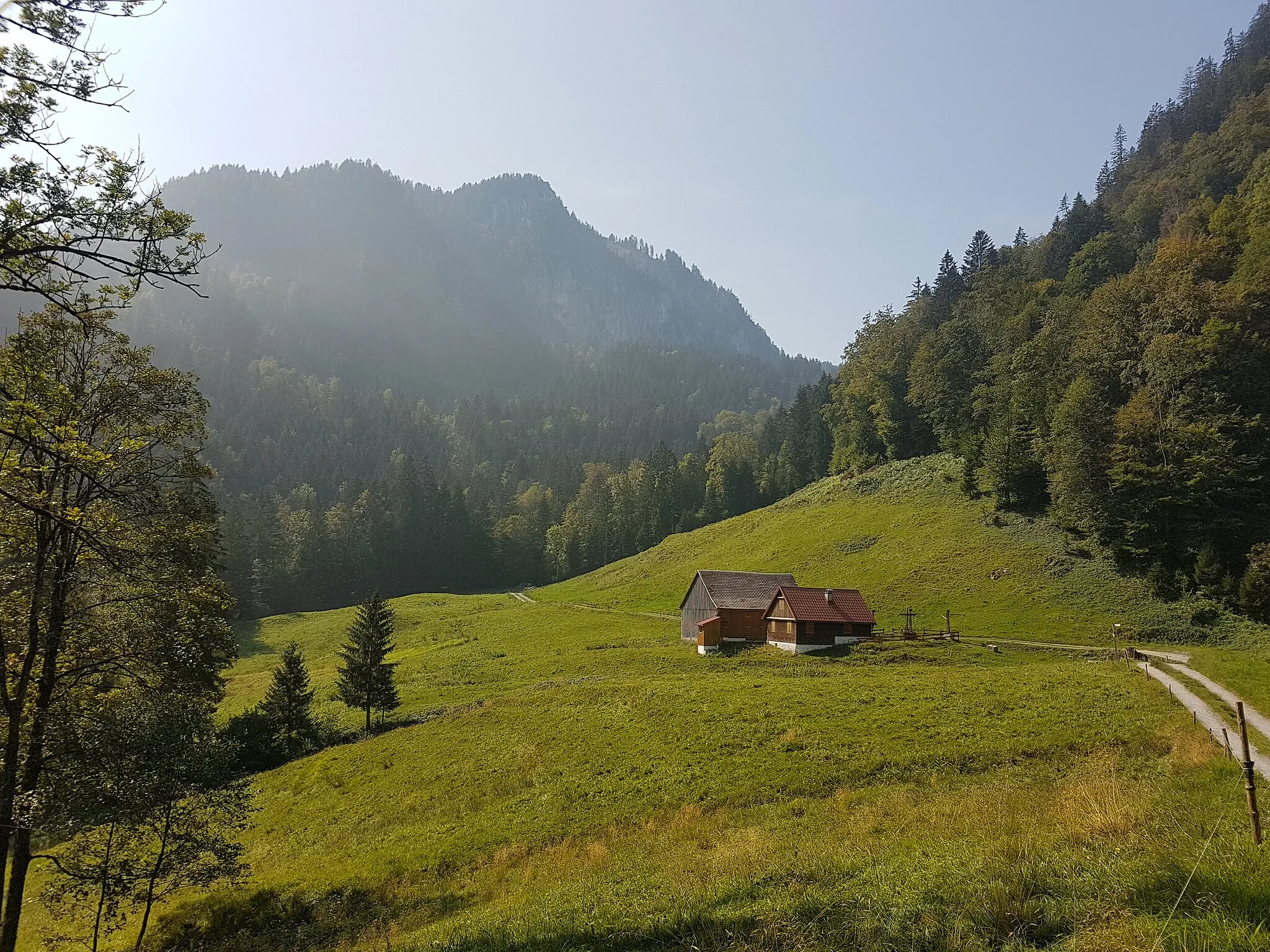
This road cycling route takes you through the beautiful region of Rheinhessen-Pfalz, known for its picturesque landscapes and charming vineyards. With a total distance of 77 kilometers and an ascent of 1,018 meters, this route offers a moderate challenge for well-trained amateur cyclists. The highlights along the way include the Hochstellerhof, standing at a distance of 3 kilometers. This historical landmark provides a fascinating glimpse into the region's farming heritage. The Eselskopf, located at a distance of 9 kilometers, offers spectacular views of the surrounding countryside.
road
77 km
1018 m
Tough
Route profile
Highlights on the route
0 km
0 km
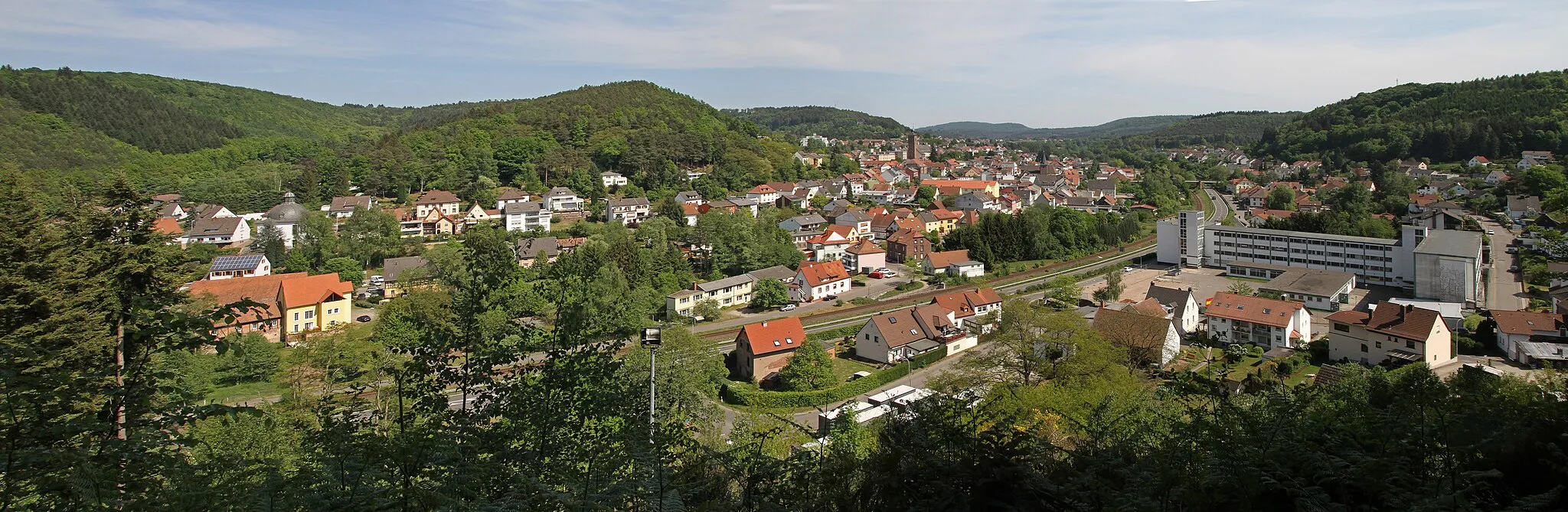
Start: Vinningen Village centerVinningen: Scenic cycling in Rheinhessen-Pfalz, Germany.
Vinningen, situated in Rheinhessen-Pfalz, Germany, offers diverse cycling opportunities for road and gravel cyclists. The region is characterized by rolling hills, scenic vineyards, and charming villages, providing a pleasant and varied riding experience. Cyclists can tackle challenging climbs or opt for more relaxed routes depending on their preferences. Notable cycling-related spots nearby include the idyllic Lake Gelterswoog and the Weinstraße cycle path, known for its picturesque landscapes and excellent wine tasting opportunities. Vinningen is a popular destination for cyclists seeking a combination of challenging terrain and cultural experiences.3 km
3 km
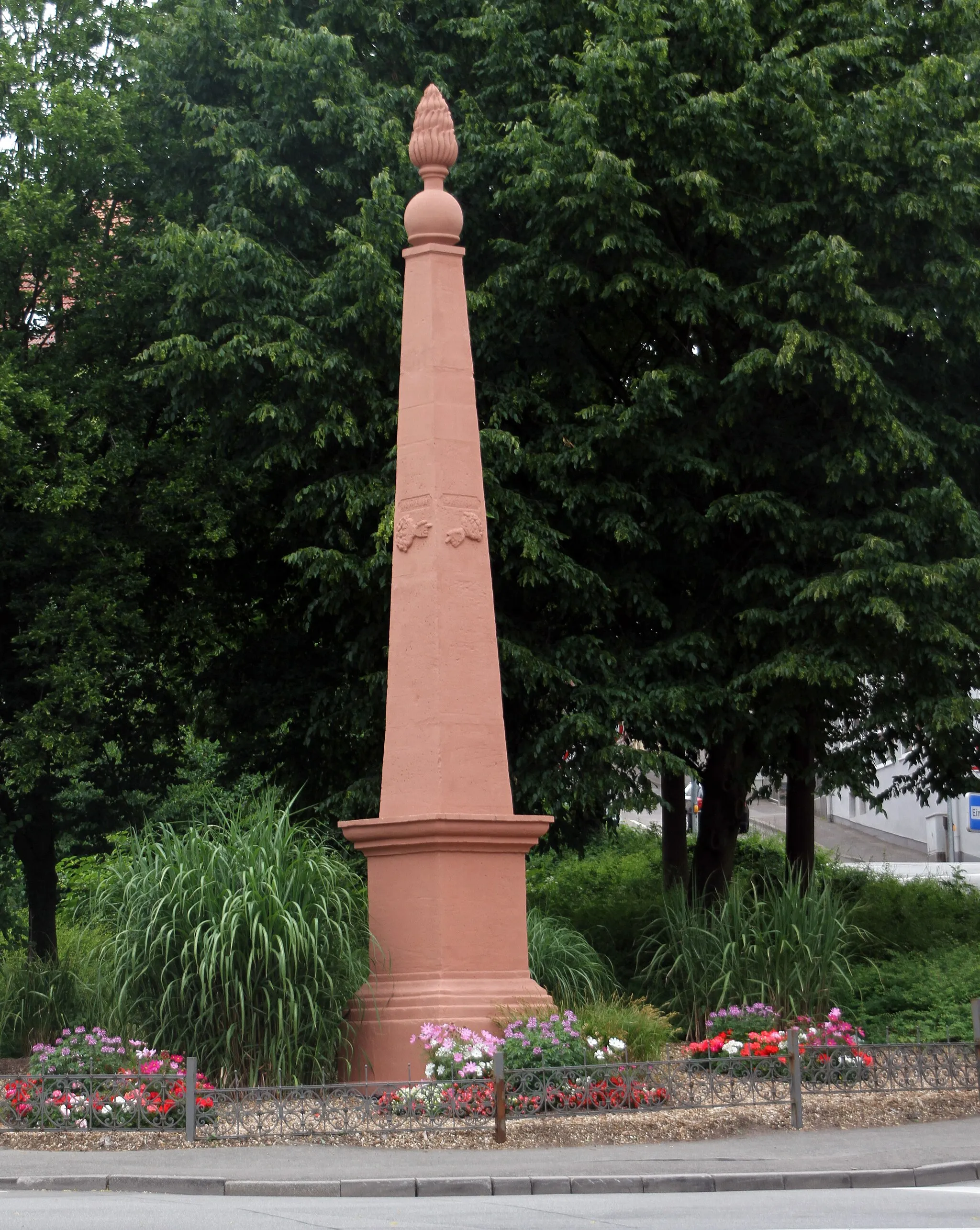
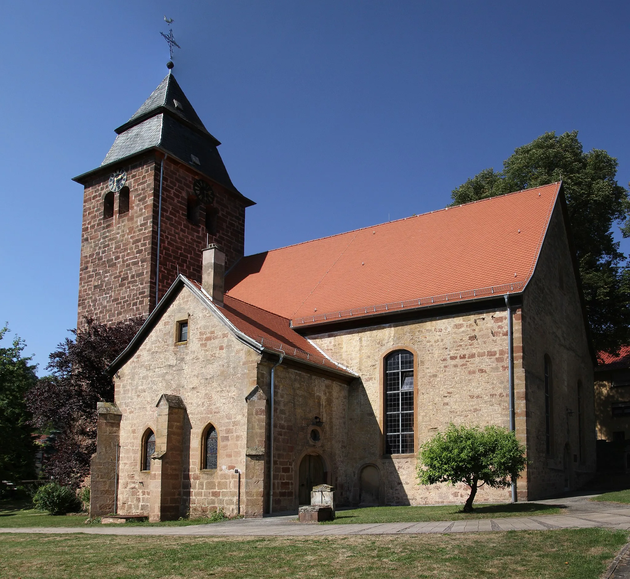
HochstellerhofVillageVisit the Hochstellerhof, a historical landmark highlighting the region's farming heritage, located 3 kilometers from the start of the route.
9 km
9 km
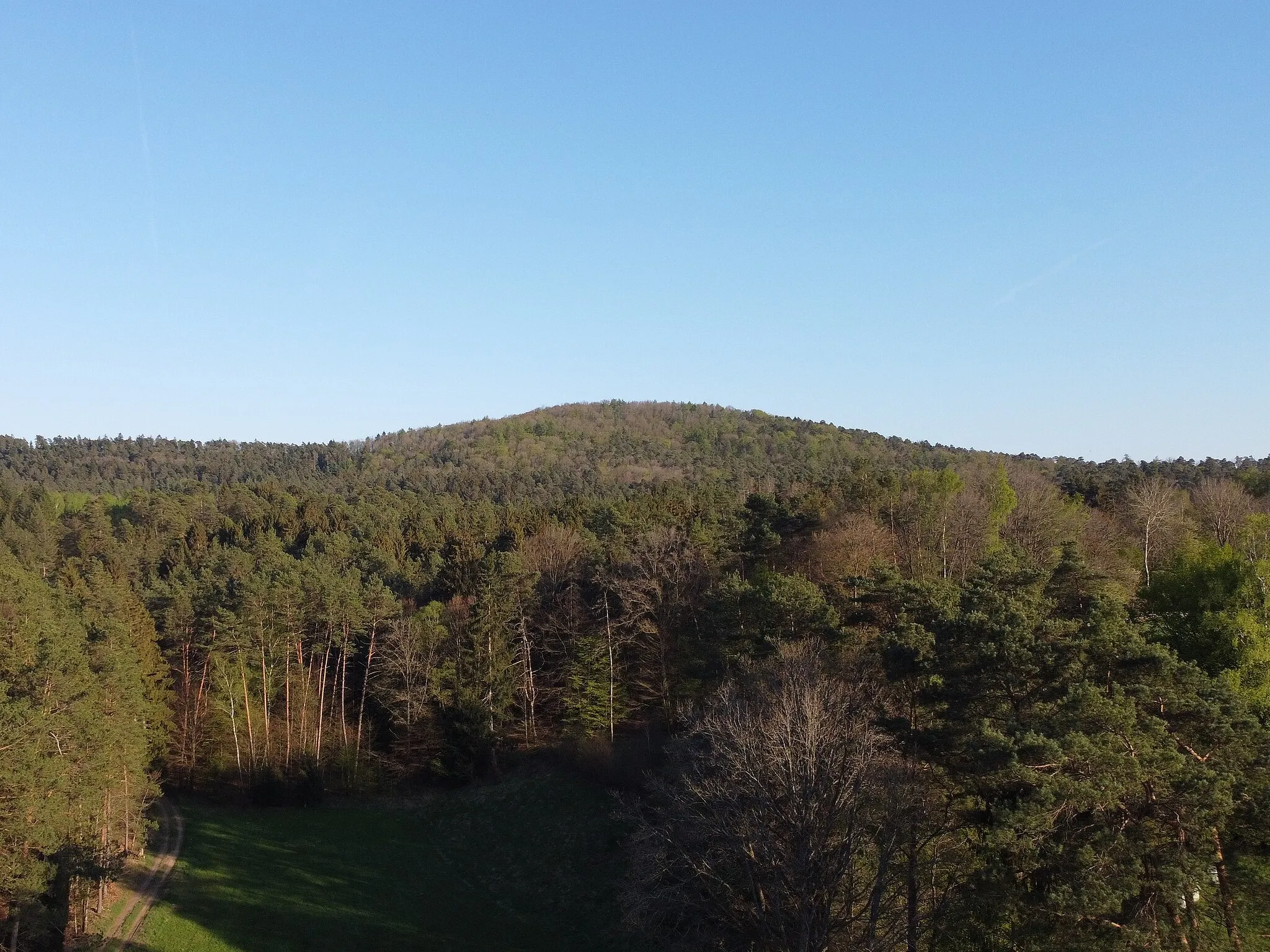
Eselskopf439 mPeakMarvel at the breathtaking views from the Eselskopf, located 9 kilometers along the route.
19 km
19 km
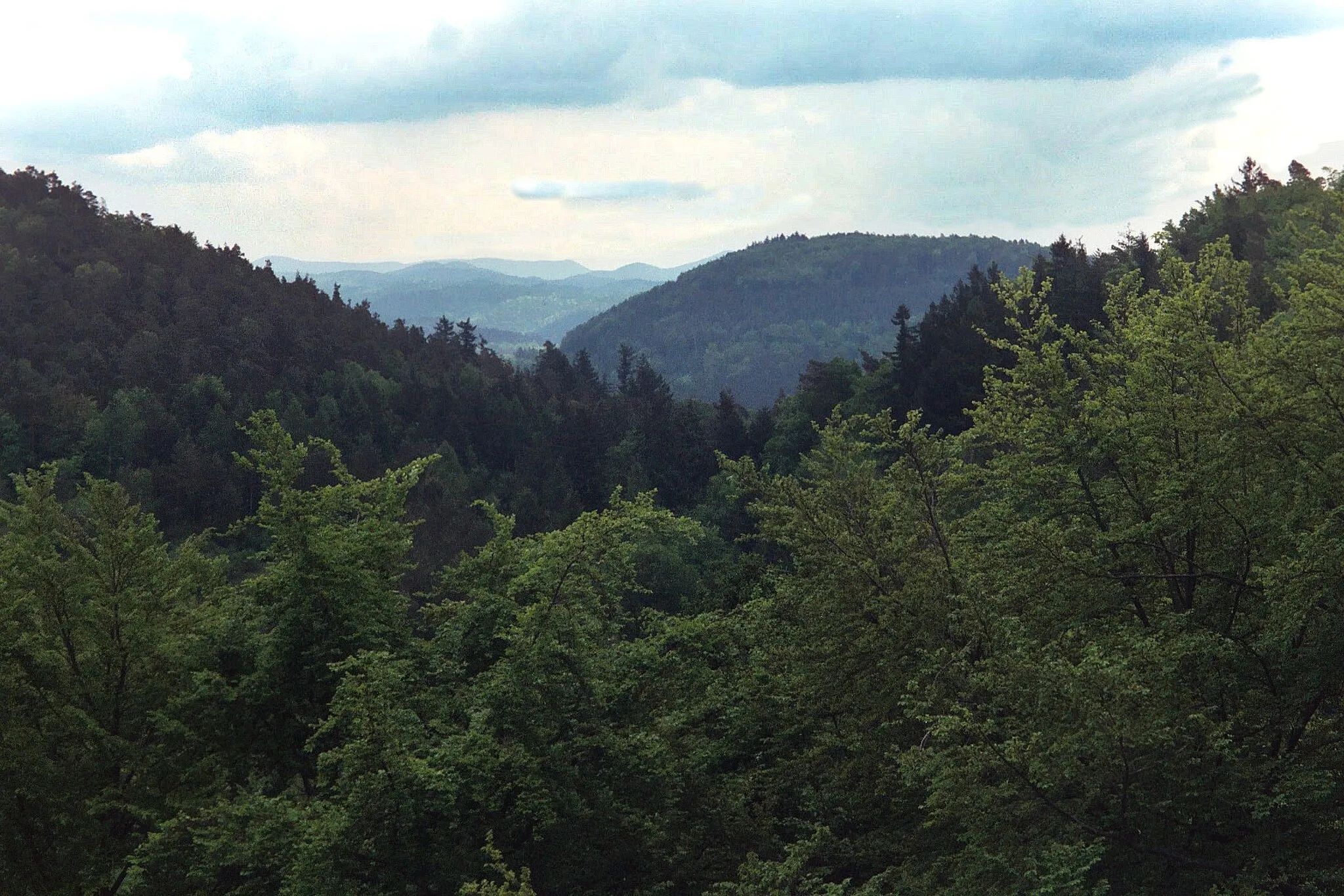
Lindelskopf343 mPeakDon't miss the Lindelskopf, situated at a distance of 19 kilometers from the start, offering stunning panoramic views.
27 km
27 km
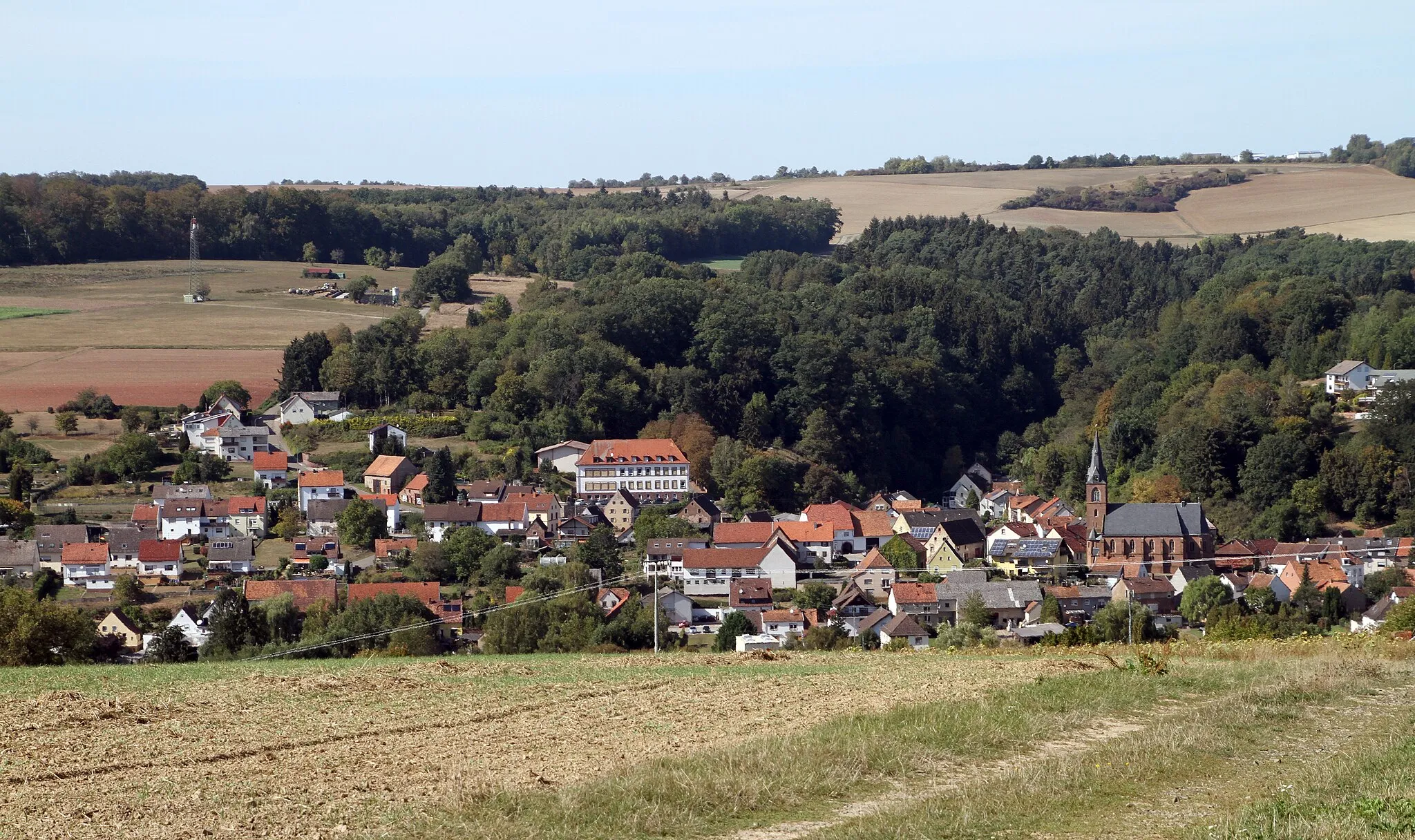
SturzelbronnVillageExplore the picturesque village of Sturzelbronn, located 27 kilometers from the start of the route.
40 km
40 km
BaerenthalVillageDiscover the charming village of Baerenthal, renowned for its natural beauty, 40 kilometers from the beginning of the route.
45 km
45 km
Bocksberg336 mPeakCycle through the scenic countryside to reach the Bocksberg, located 45 kilometers into the route.
63 km
63 km
Le Guirsten406 mPeakExperience the idyllic surroundings of Le Guirsten, situated 63 kilometers into the route.
63 km
63 km
HanvillerVillageImmerse yourself in the beauty of Hanviller, a delightful village located 63 kilometers from the start.
74 km
74 km
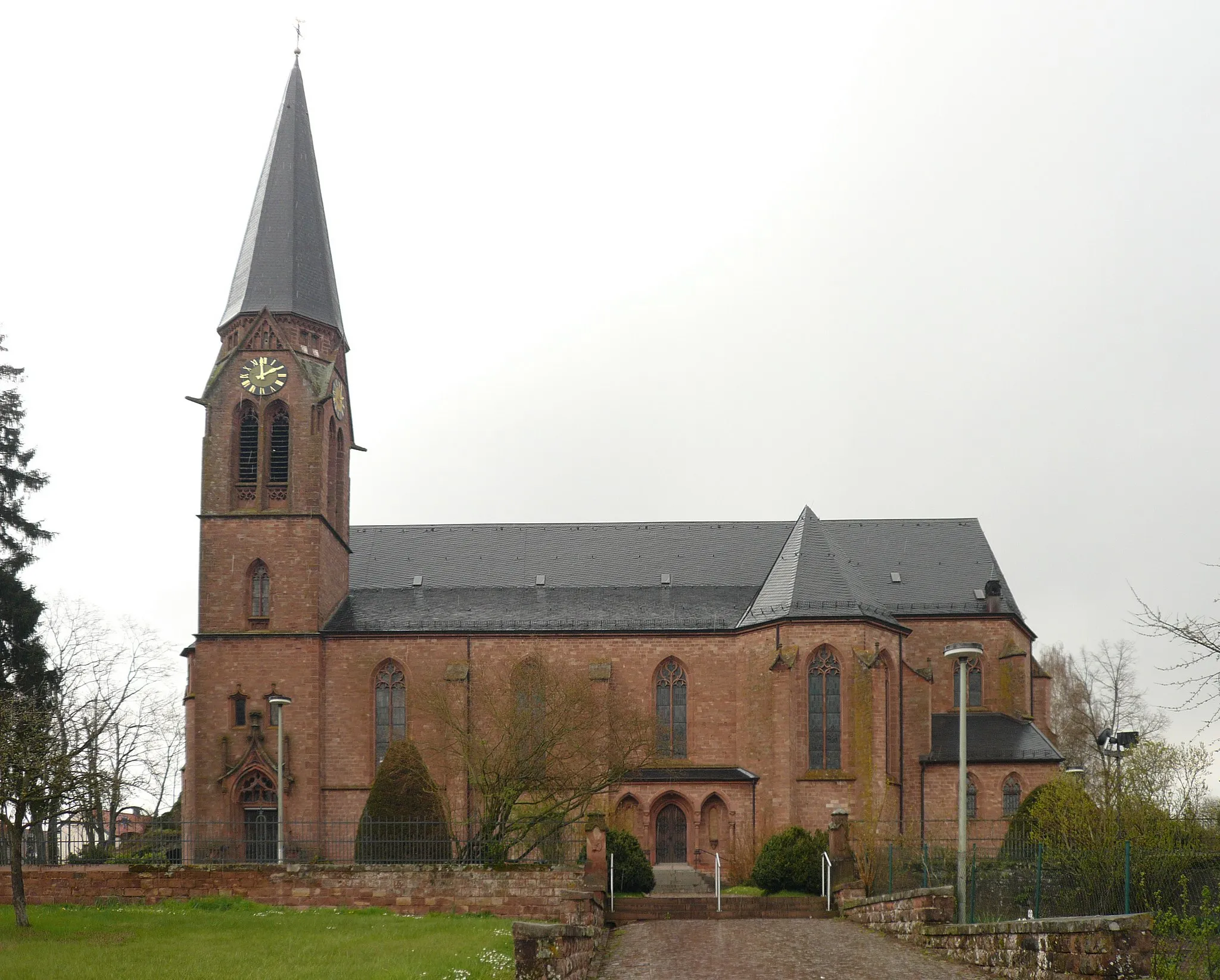
KröppenVillageTake a moment to admire the historic Kröppen mill, standing at a distance of 74 kilometers along the route.
74 km
74 km
Mühlberg381 mPeakEnjoy the scenic views from Mühlberg, situated at a distance of 74 kilometers from the beginning.
77 km
77 km
Finish: Vinningen Village centerVinningen: Scenic cycling in Rheinhessen-Pfalz, Germany.
Cycling routes from Vinningen:
Vinningen Gravel Adventure Hidden Treasures Rheinhessen-Pfalz Gravel Cycling Route Pirmasens Road Cycling Adventure Vinningen Epic Road Ride Gravel Adventure Rheinhessen-Pfalz Ultimate Cycling Challenge Hunsrück Classic Rheinhessen-Pfalz Road Cycling Route Lemberg Loop Extreme Gravel Challenge: Pirmasens Circuit Gravel Adventure: Rieschweiler-Mühlbach Loop Scenic Road Cycling: Vinningen Adventure
Cycling routes nearby: