Exploring the Scenic Trails of Friedrichsthal
Cycling routes from Friedrichsthal
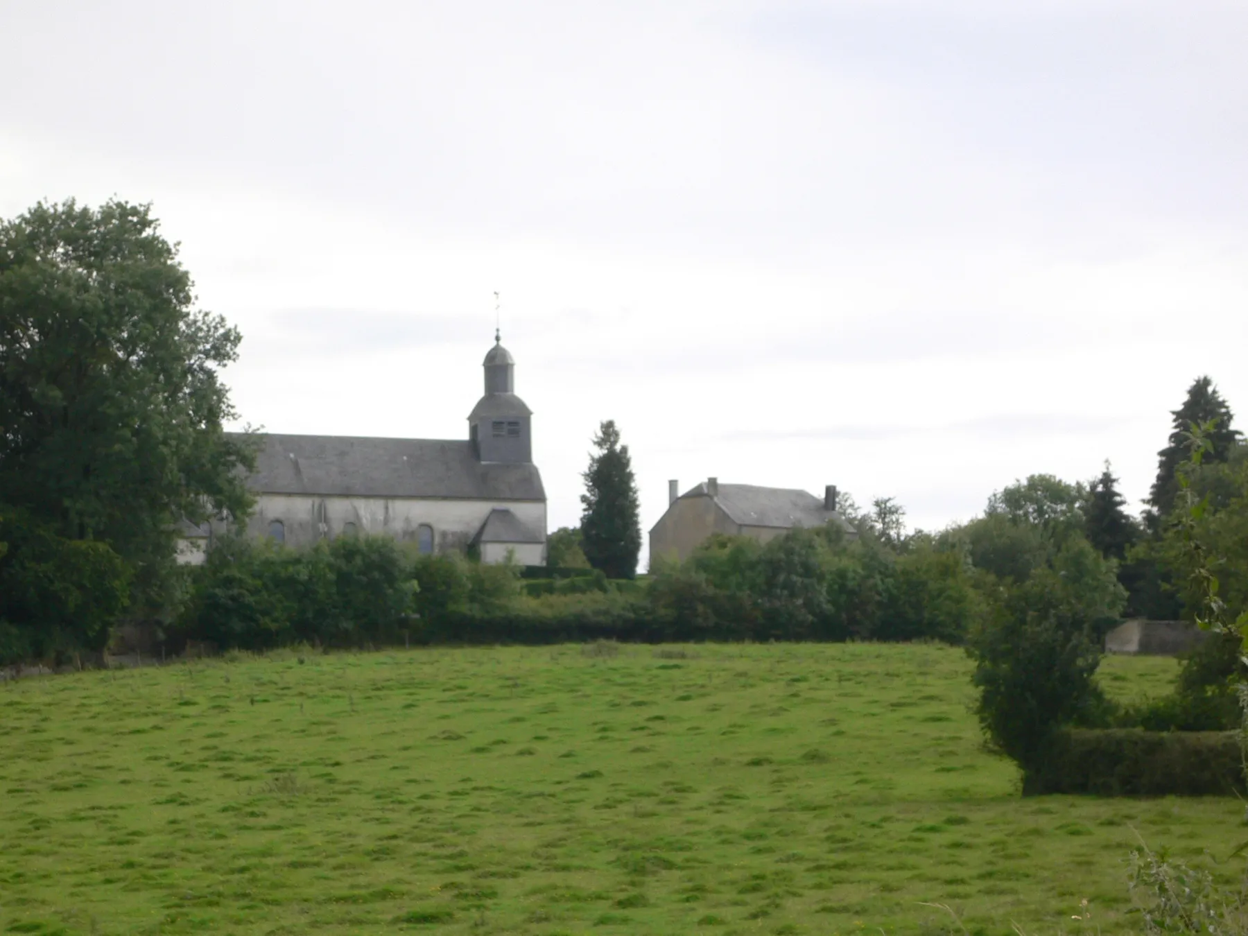
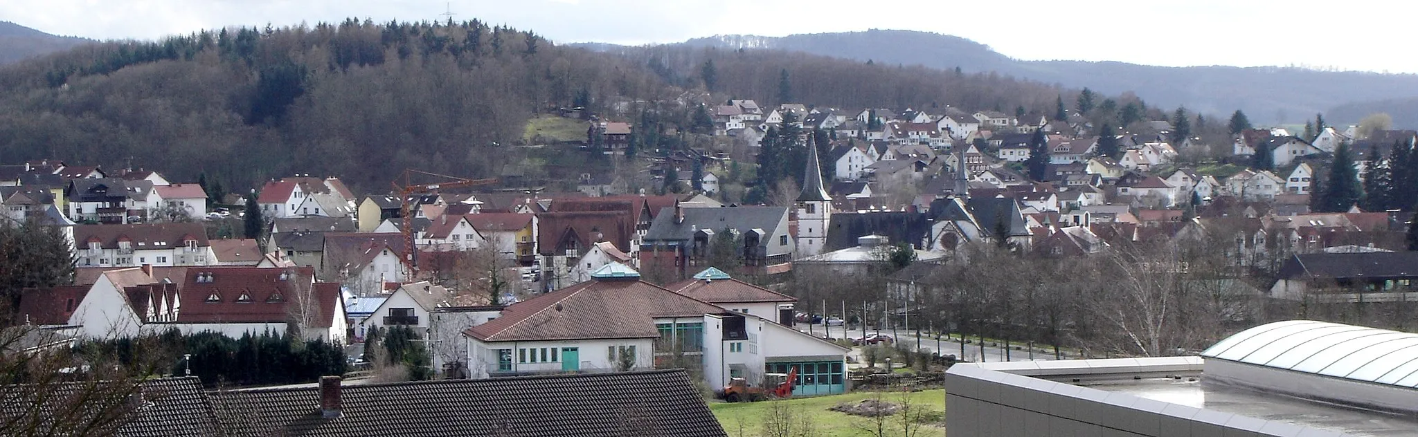
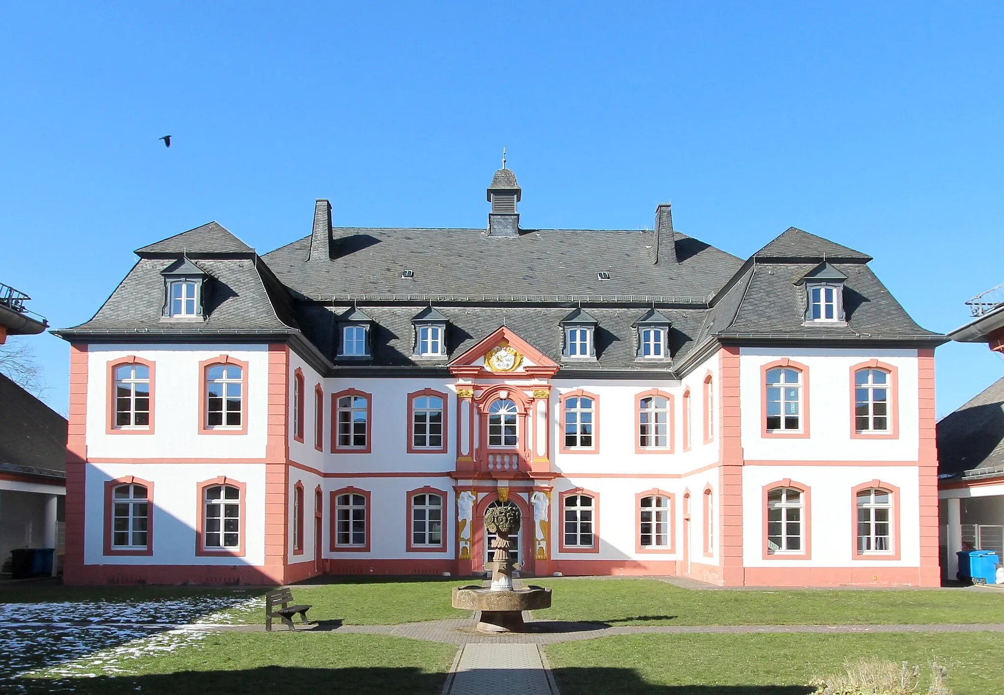
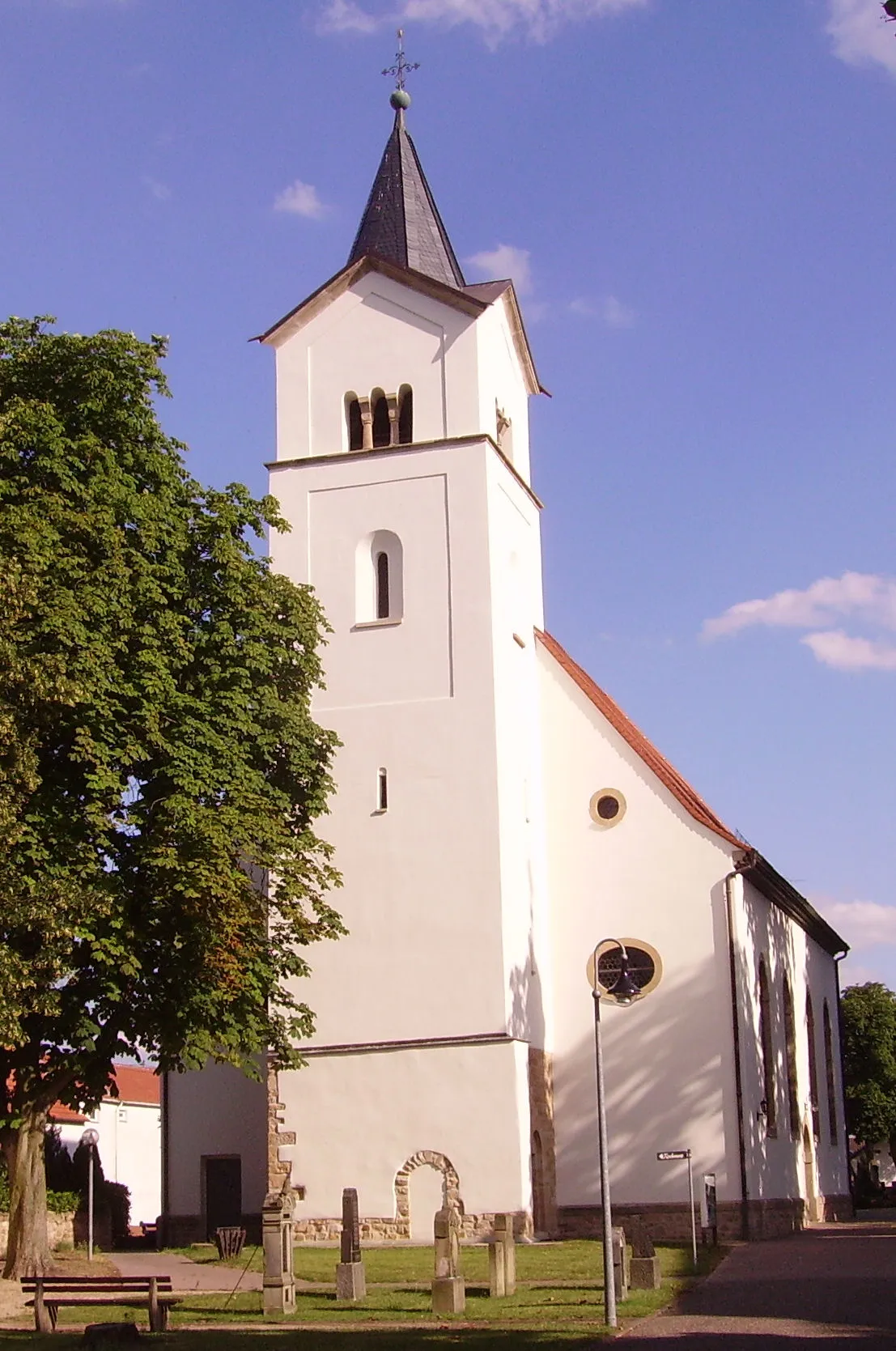
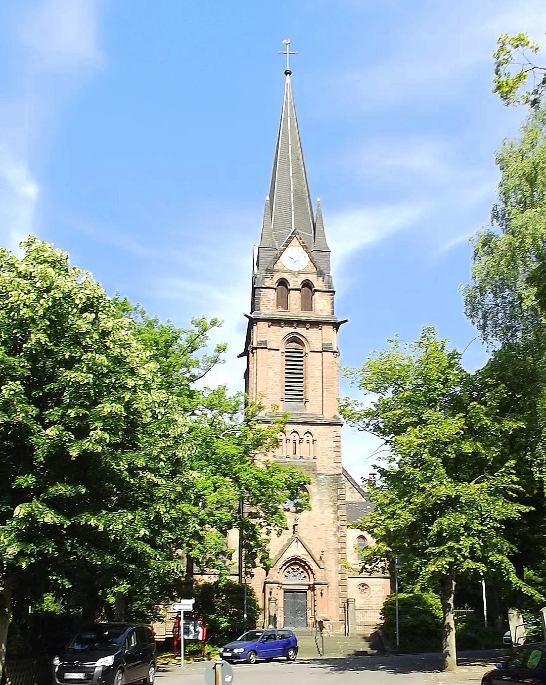
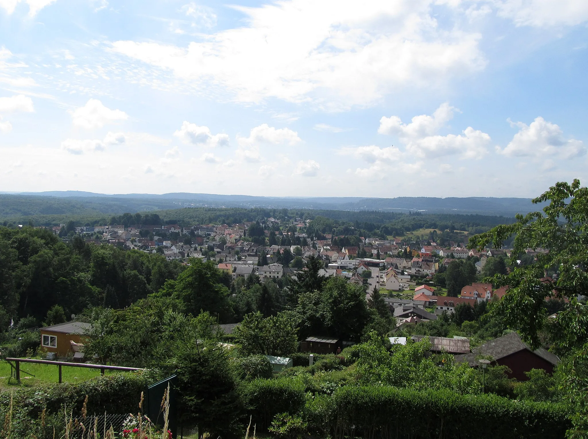
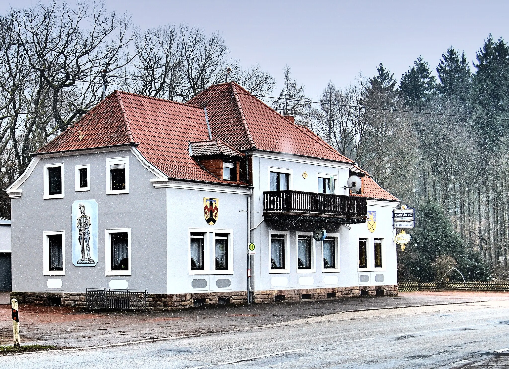
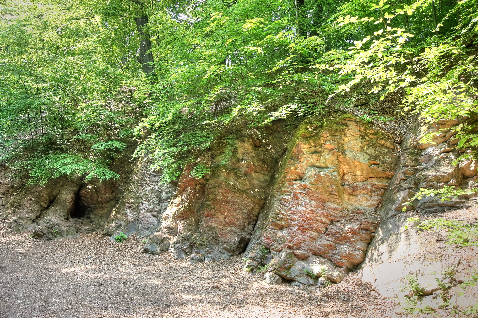
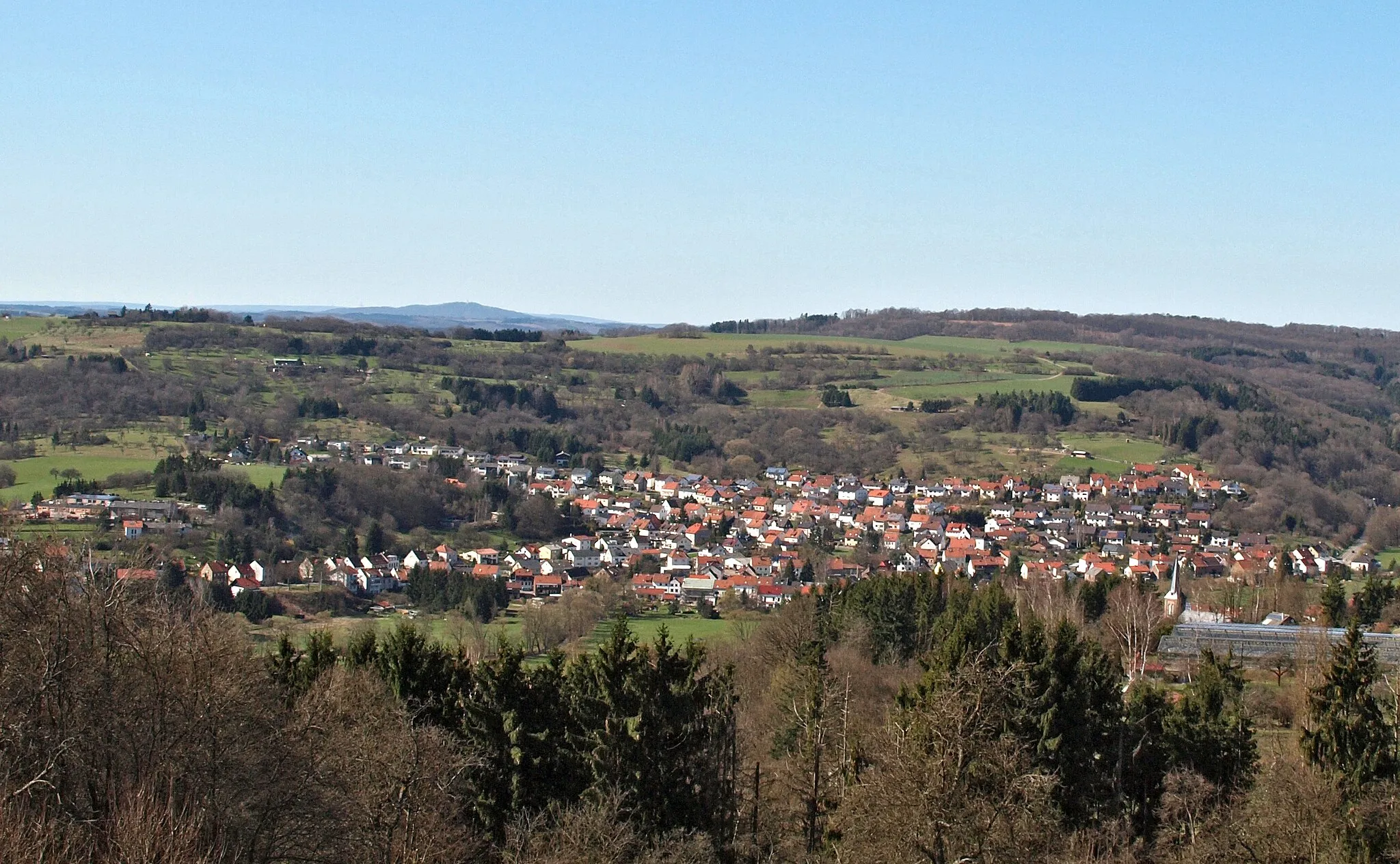
Friedrichsthal, located in the Saarland region of Germany, offers a variety of cycling opportunities for both road and gravel cyclists. The locality features a mix of flat roads and gentle hills, providing options for riders of different abilities. Additionally, the area has several well-marked cycling trails, making navigation easy for visitors. One of the popular cycling spots nearby is the Karlsberg Forest, known for its scenic beauty and diverse terrain. With its cycling-friendly atmosphere and access to picturesque trails, Friedrichsthal is a great destination for cyclists looking to explore the Saarland region.
The Gravel Escape
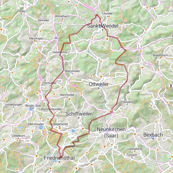
Embark on an adventurous gravel cycling escape
Escape from the ordinary and embrace the freedom of gravel cycling with The Gravel Escape. This 55-kilometer route near Friedrichsthal offers a challenging ascent of 993 meters, perfect for gravel enthusiasts seeking an escape into nature. Highlights along the route include Friedrichsthal, Hexenberg, Lanzenberg, Sankt Wendel, Rohn, Wiebelskirchen, Shuttlebus Halde Reden, and Hoferkopf. From remote trails to scenic viewpoints, this route has something for every gravel rider, combining excitement and adventure into one unforgettable journey.
Road Cycling Adventure
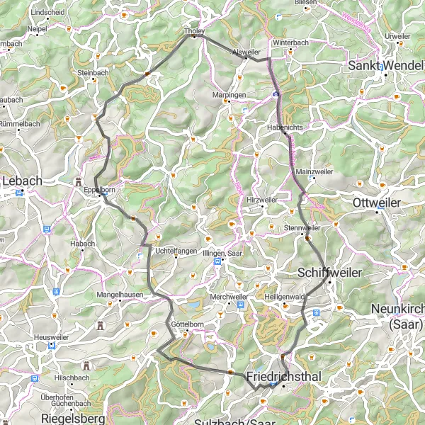
Embark on an exciting road cycling adventure near Friedrichsthal
Discover the scenic beauty of Saarland with this road cycling route starting near Friedrichsthal. With a total ascent of 986 meters and covering a distance of 55 kilometers, this route offers a challenging ride for cycling enthusiasts. Along the way, you'll encounter various highlights that will add excitement to your journey.
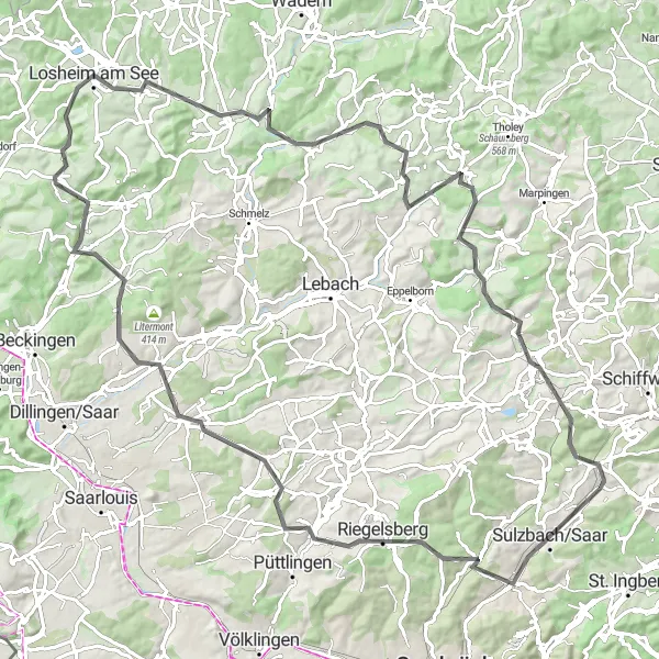
Gravel Adventure
Experience the beauty of Saarland on this off-road adventure
This gravel route near Friedrichsthal takes you through the picturesque landscapes of Saarland. The route offers a challenging ride with a total ascent of 1,023 meters and covers a distance of 76 kilometers. With its highlights along the way, this route guarantees an exciting and unique cycling experience.
Cycle through the picturesque surroundings of Friedrichsthal
The Saarland Tour takes you on a scenic cycling adventure through the beautiful landscape near Friedrichsthal. With a distance of 77 kilometers and an ascent of 1233 meters, this road cycling route offers a moderate challenge for well-trained amateurs. The route is known for its diverse highlights, including the Hirschenhübel, Hüttigweiler, Weinhausköpfchen, Oberthal, Eiselskist, Hungerberg, and Neunkirchen (Saar), which adds to the overall epicness of the tour.
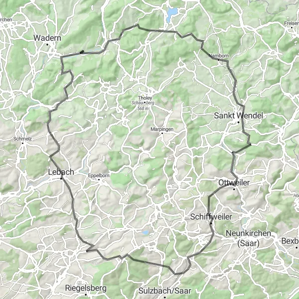
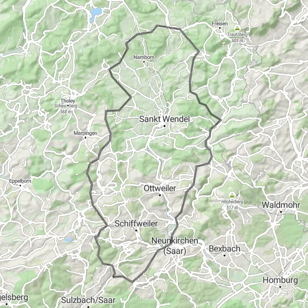
A challenging road route from Friedrichsthal to Sankt Wendel
This road route from Friedrichsthal to Sankt Wendel offers a challenging ride with a total ascent of 1690 meters and a distance of 96 kilometers. Get ready to conquer steep climbs, thrilling descents, and scenic country roads. The highlights along this route include Friedrichsthal, the starting point of the ride, Göttelborner Höhe, offering panoramic views of the Saarland region, and Hoferkopf, a hill known for its challenging terrain and beautiful natural surroundings.
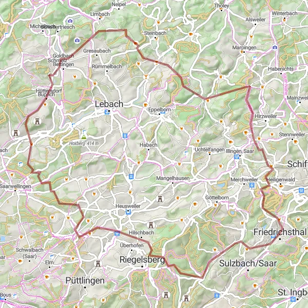
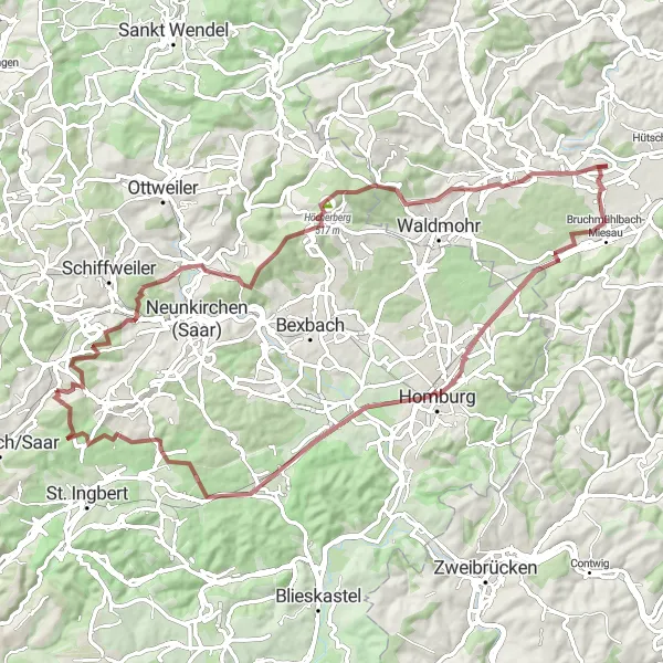
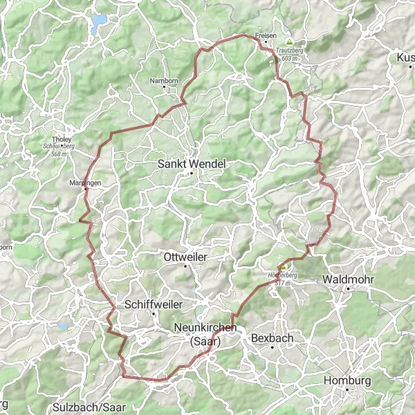
A challenging gravel route from Friedrichsthal to Quierschied
This gravel route starts in Friedrichsthal and takes you through scenic landscapes, challenging climbs, and quiet country roads. With a total ascent of 1453 meters and a distance of 79 kilometers, this route offers a great workout for gravel enthusiasts. The highlights of this route include Quierschied, with its charming architecture and rich history, as well as other picturesque villages and breathtaking views along the way.
The Ultimate Challenge
Push your limits on the most challenging road cycling route
Get ready to push your cycling abilities to the limit with The Ultimate Challenge. This 139-kilometer road cycling route near Friedrichsthal offers a grueling ascent of 2233 meters, making it suitable only for highly trained amateurs. Highlights along the route include Friedrichsthal, Kup, Schmelz, Schatterberg, Köpfchen, Weiskirchen, Springkopf, Reinsfeld, Sandkopf, Brücken, Stickelberg, Sankt Wendel, Ottweiler, and Hoferkopf. The route will take riders through enchanting landscapes, quaint towns, and challenging terrain, providing a truly unforgettable experience.
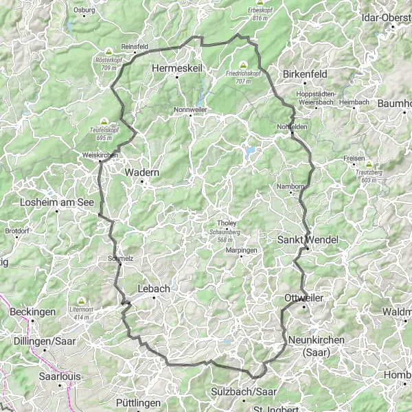
Road Adventure to Losheim am See
An adventurous road route from Friedrichsthal to Losheim am See
Embark on an exciting road adventure from Friedrichsthal to Losheim am See, covering a distance of 101 kilometers and a total ascent of 1400 meters. This route offers a mix of scenic landscapes, charming villages, and thrilling descents. Highlights along this route include Sulzbach/Saar, a picturesque town with a fascinating history, Saarwellingen, known for its well-preserved architecture, and Losheim am See, a beautiful lakeside town with stunning vistas.
Embark on an epic cycling journey through Saarland
Get ready for an epic adventure through Saarland with this 90-kilometer gravel route. With an ascent of 1632 meters, this challenging route will push your limits and showcase the natural beauty of the region. Highlights include Friedrichsthal, Hirschenhübel, Marpingen, Metzenberg, Buberg, Höcherberg, Neunkirchen (Saar), and Elversberg. This route offers a perfect blend of stunning landscapes, cultural landmarks, and exhilarating challenges, creating an unforgettable experience for gravel enthusiasts.
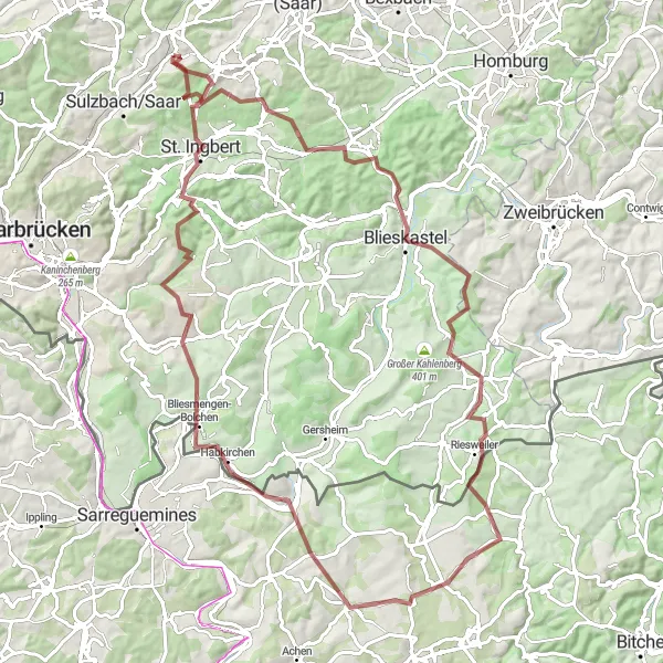
Discover the scenic beauty near Friedrichsthal on this epic gravel route
Embark on a thrilling gravel adventure near Friedrichsthal in Saarland, Germany. This round-trip cycling route is packed with stunning views, challenging terrain, and unique highlights along the way. With a total distance of 94 kilometers and an elevation gain of 1,536 meters, this route is perfect for experienced and well-trained amateur cyclists. Explore the charming town of Friedrichsthal before heading towards Steigberg, Blieskastel, and Große Höhe. Marvel at the tranquil landscapes of Bettviller and Bliesbruck, and conquer Sommerberg and Schafkopf before reaching St. Ingbert. Prepare yourself for an unforgettable gravel cycling experience.
Cycling routes nearby:
Nearby regions: