Thrilling Cycling Adventures in Saarland
Cycling routes from Spiesen-Elversberg
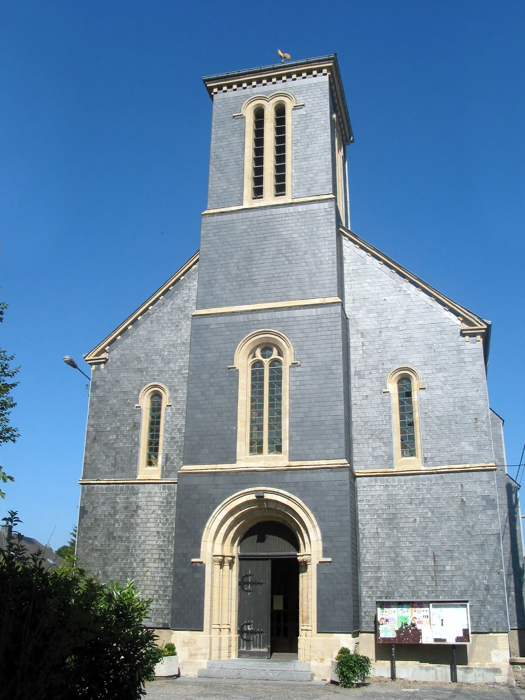
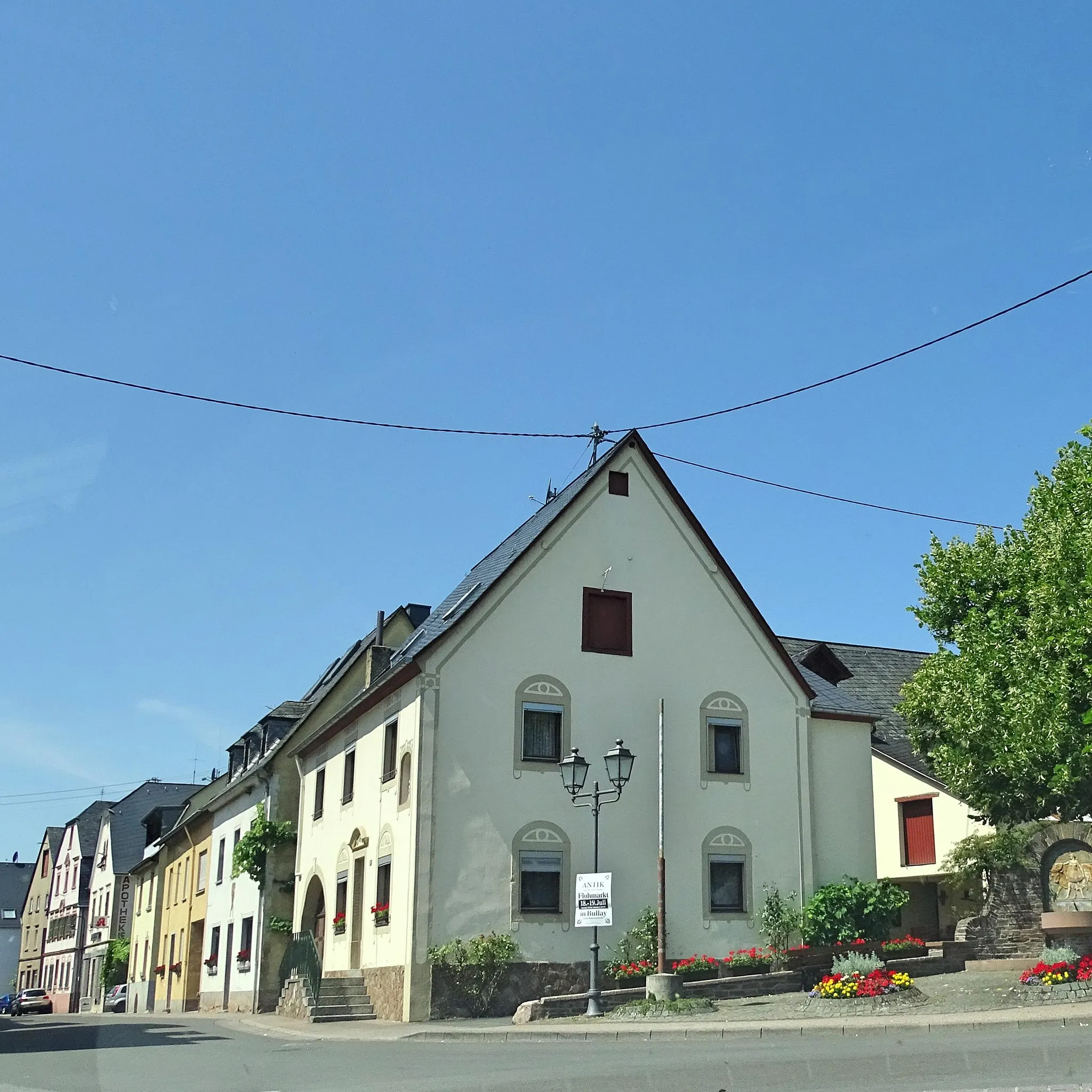
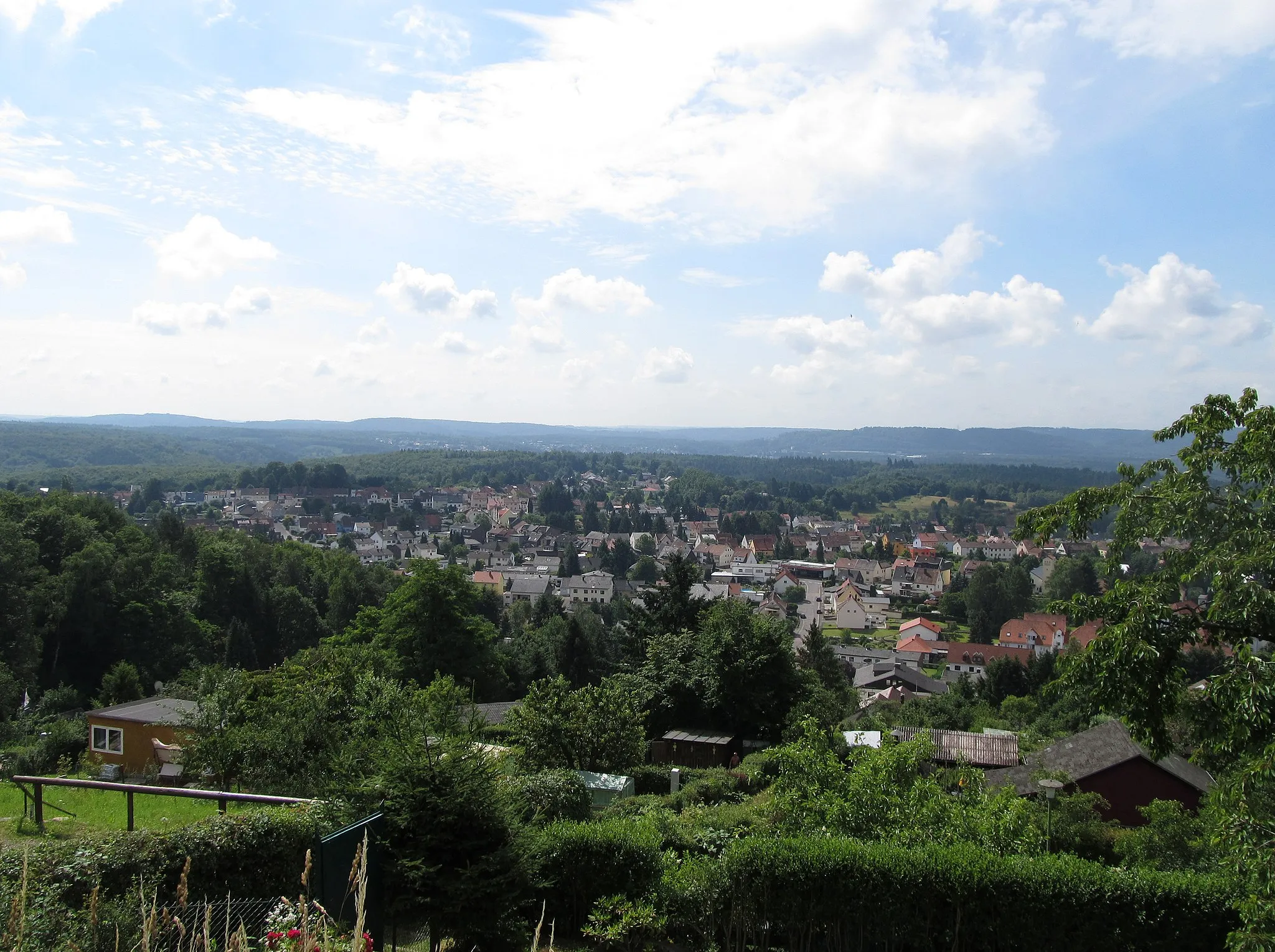
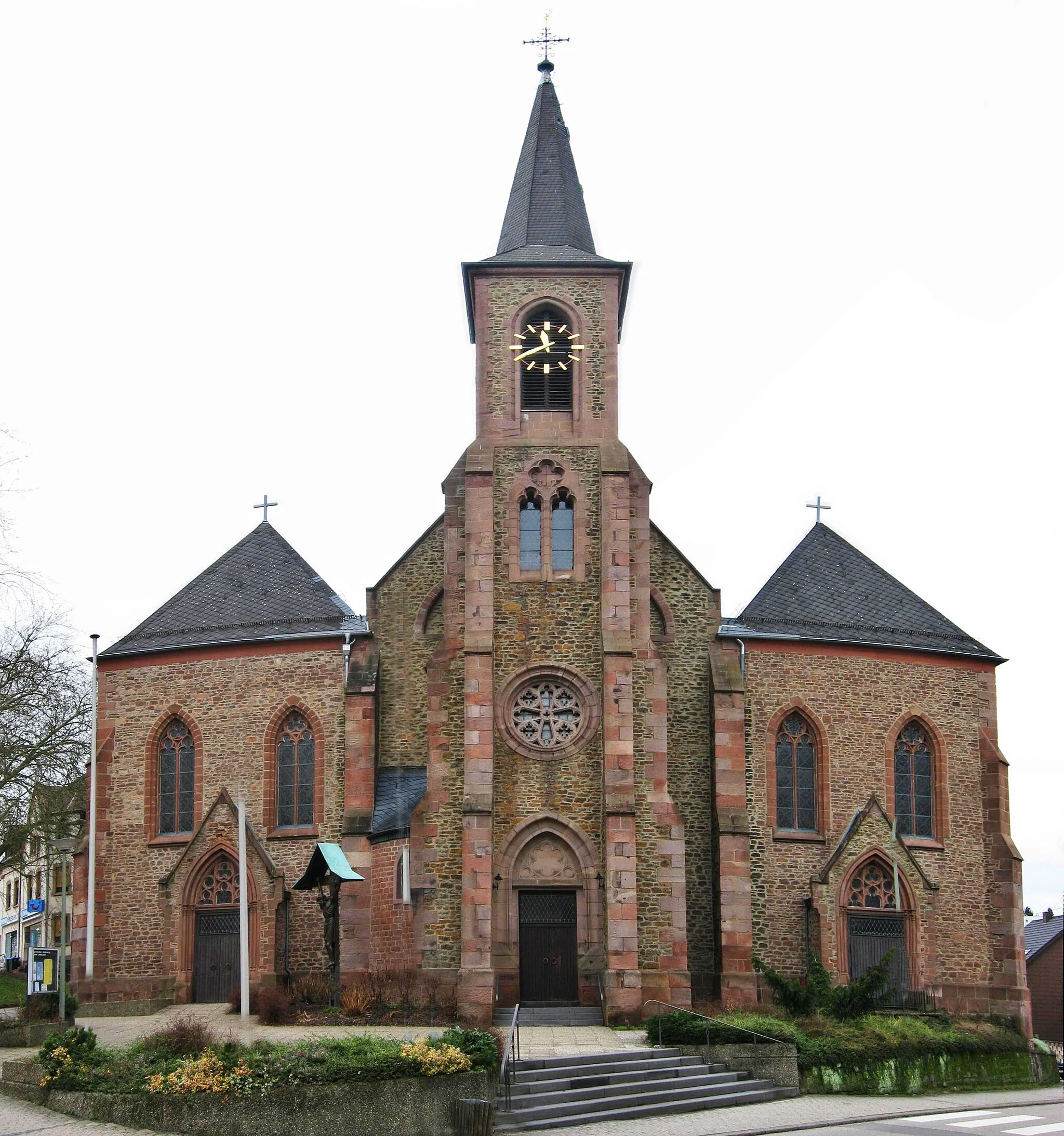
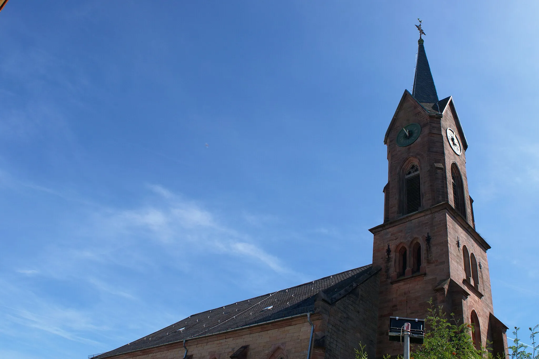
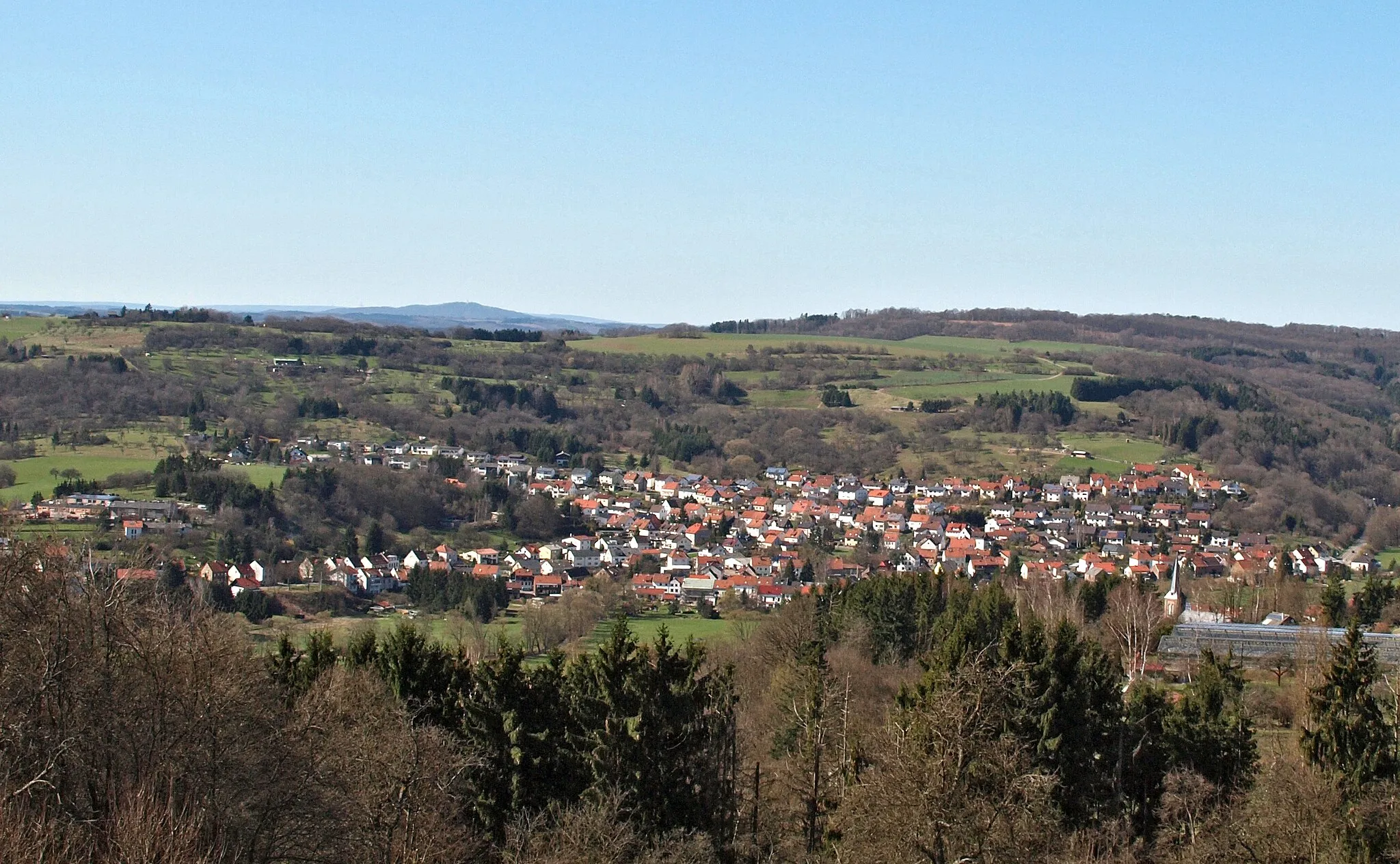
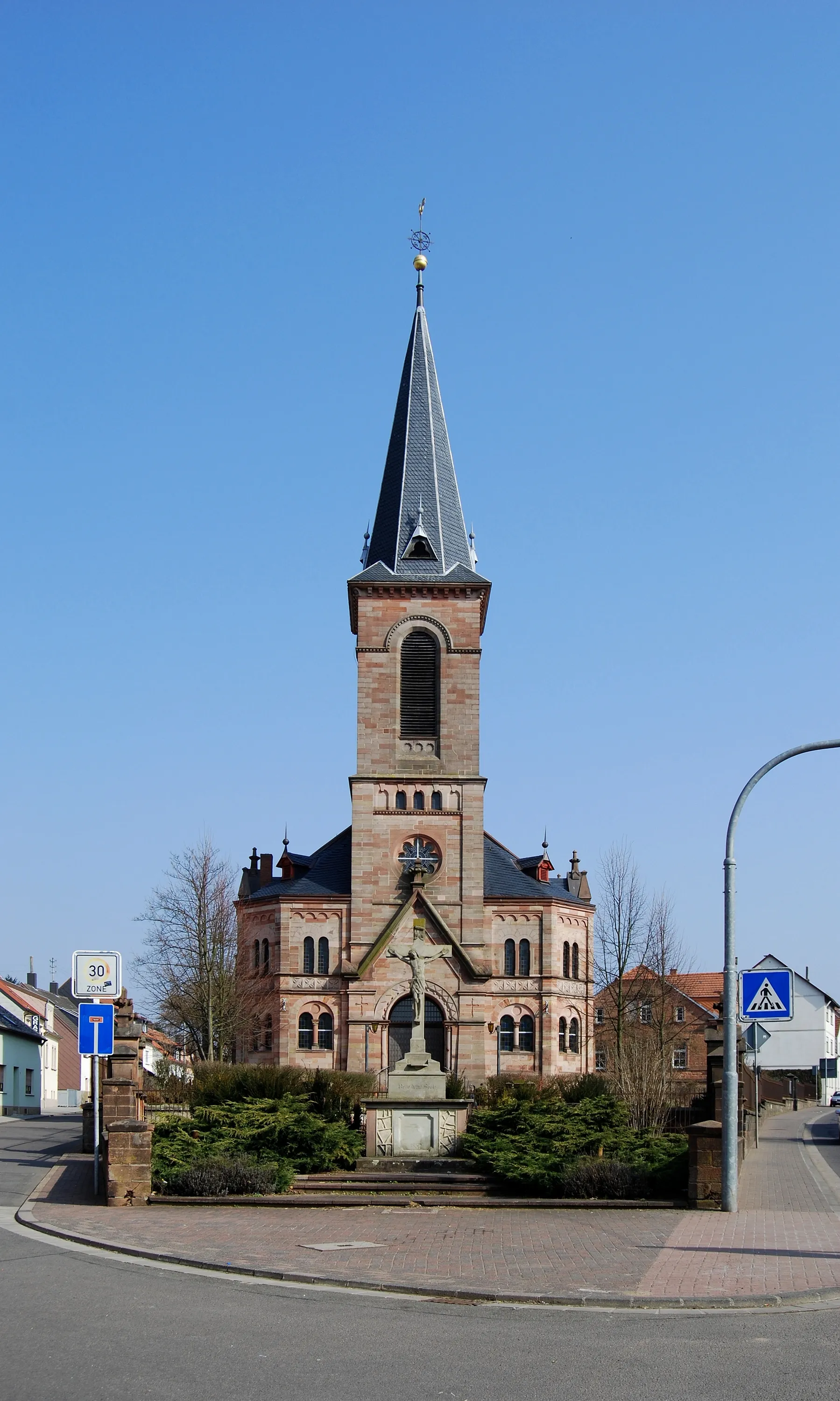
Spiesen-Elversberg is a town located in the Saarland region of Germany. From a cyclist's perspective, Spiesen-Elversberg offers a mix of rolling countryside roads and challenging climbs. The area is surrounded by dense forests, providing a scenic environment for cycling. Nearby, cyclists can challenge themselves on the famous Nordschleife des Saarlandes, a 15-kilometer circuit known for its relentless climbs and hairpin bends. Additionally, Spiesen-Elversberg is well-connected to the Saar-Hunsrücksteig, a long-distance hiking and cycling trail that runs through the beautiful landscapes of the Saar-Hunsrück Nature Park. With its challenging terrains and natural beauty, Spiesen-Elversberg is a destination where both road and gravel cyclists can thrive.
Exploring Scenic Routes
Immerse yourself in stunning scenery on this road cycling adventure near Spiesen-Elversberg
Get ready to escape into nature and experience the beauty of Saarland on this 88 km road cycling adventure. With an ascent of 1389 m, this route combines challenging climbs with breathtaking views. Ideal for cyclists seeking a medium-level difficulty route that showcases the region's stunning landscapes and hidden gems.

Explore the diverse landscapes of Saarland on this dynamic road cycling route
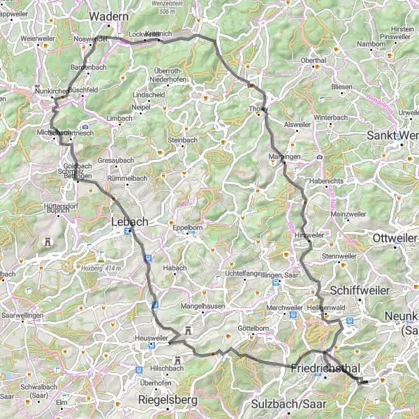
This road cycling route near Spiesen-Elversberg takes you through picturesque towns, rolling hills, and scenic countryside. With a total distance of 87 km and an ascent of 985 m, this challenging ride offers a great mix of adrenaline and breathtaking vistas. The route is ideal for well-trained amateurs looking for a long and fulfilling journey.
A road route featuring the Galgenberg tower and Totenkopf summit
This road route offers a mix of scenic landscapes and challenging climbs, including the Galgenberg tower and Totenkopf summit. With a distance of 79km and an ascent of 1122m, this route is suitable for well-trained amateurs. It receives a difficulty rating of 4 and an epicness rating of 3.

Admire the panoramic beauty of Saarland on this breathtaking cycling route
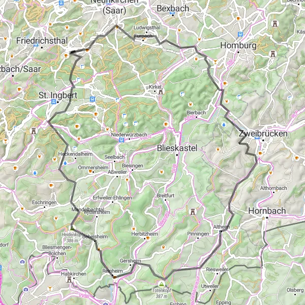
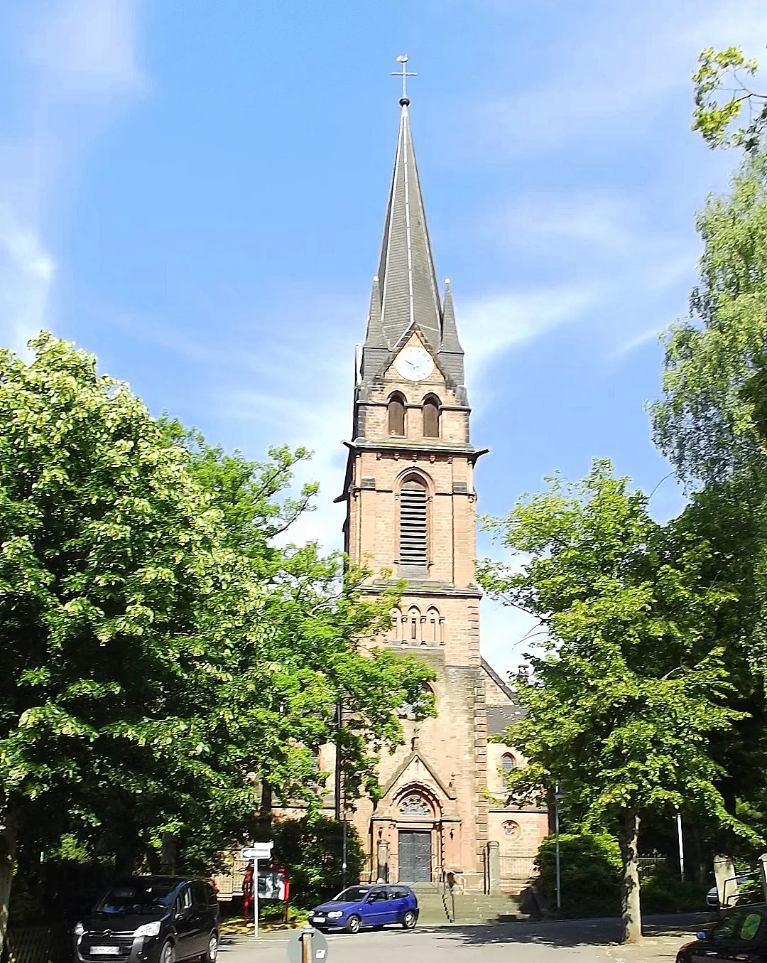
The Saarland Panorama Ride is a thrilling cycling route that allows you to immerse yourself in the panoramic beauty of Saarland. With a total distance of 101 kilometers and an ascent of 1083 meters, this route offers a challenging experience for cyclists with road bikes. Throughout the journey, you'll encounter various highlights that offer breathtaking views and cultural insights. These include the Galgenbergturm, which provides stunning panoramic views of the Saarland region, and Biesingen, a charming village known for its picturesque streets and well-preserved architecture. Other highlights include the Obergailbach, a picturesque town that offers scenic views of the surrounding countryside, and St. Ingbert, a historic town with architectural gems and a vibrant cultural scene. The Saarland Panorama Ride is an epic cycling adventure that allows you to witness the mesmerizing beauty of Saarland.
The Gravel Adventure
Explore the rugged beauty of Saarland on this gravel adventure
Embark on a thrilling gravel adventure through Saarland, Germany. This route takes you along scenic paths with varied terrain, including challenging climbs and thrilling descents. Get ready for a memorable cycling experience in the heart of nature.
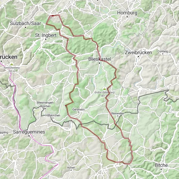
A challenging gravel route featuring Steigberg and Obergailbach
For experienced cyclists seeking a challenge, this gravel route covers a distance of 94km with an ascent of 1241m. Highlights include Steigberg and Obergailbach, both offering breathtaking views and challenging terrain. With a difficulty rating of 5 and an epicness rating of 5, this route is perfect for those looking for an epic cycling adventure.
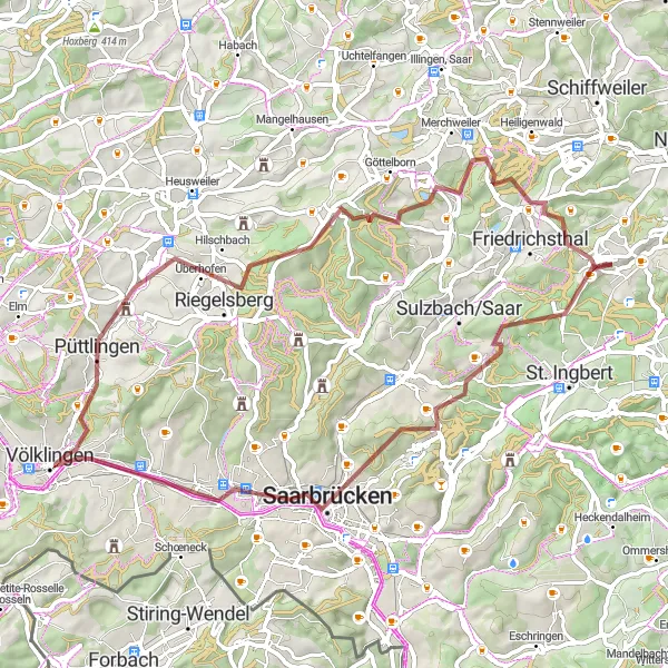
A gravel route featuring the Galgenberg tower and Saarbrücker Schloss
This gravel route takes you through the scenic Saarland region, with highlights including the Galgenberg tower and Saarbrücker Schloss. With a distance of 62km and an ascent of 891m, this route offers a challenging but rewarding cycling experience. Suitable for well-trained amateurs, this route receives a difficulty rating of 3 and an epicness rating of 4.
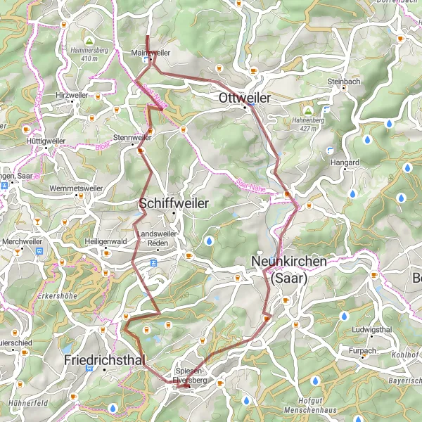
Embark on a thrilling gravel adventure through the Saarland countryside
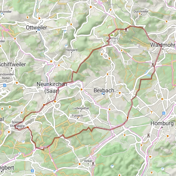
The Saarland Gravel Adventure is an exhilarating cycling route that takes you off-road and into the scenic Saarland countryside. With a total distance of 36 kilometers and an ascent of 611 meters, this route offers a thrilling adventure for cyclists with gravel bikes. Along the way, you'll encounter various highlights that showcase the natural beauty and tranquility of the region. These include the Hoferkopf, a scenic hill that offers panoramic views of the Saarland countryside, and the Zentrum für Biodokumentation, a fascinating museum that showcases the region's biodiversity and natural history. Other highlights include the Stennweiler Kipp, a stunning overlook point, and Ottweiler, a historic town known for its well-preserved architecture. The Saarland Gravel Adventure is an epic journey that allows you to explore the unbeaten paths and hidden gems of Saarland.
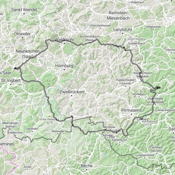
Embark on a epic road cycling adventure through the heart of Saarland
Get ready for the ultimate road cycling challenge as you tackle this 153 km route with a daunting ascent of 2111 m. This epic journey will take you on an unforgettable ride through rolling hills, dense forests, and stunning viewpoints. Ideal for adrenaline-seeking cyclists looking for their next bucket-list adventure, this route offers truly legendary landscapes and prestigious cycling spots.
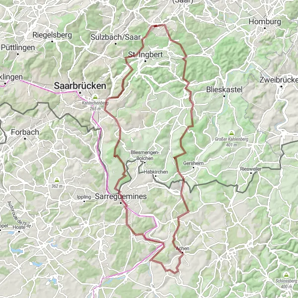
A challenging and epic gravel route with highlights including Steigberg and Blies-Guersviller
This epic gravel route covers a distance of 97km and an ascent of 1445m, making it suitable for experienced cyclists. The route takes you through picturesque landscapes and includes highlights such as Steigberg and Blies-Guersviller. With a difficulty rating of 5 and an epicness rating of 5, this route is not for the faint-hearted.
Cycling routes nearby:
Nearby regions: