Galgenberg & Totenkopf Road Route
A road cycling route starting from Spiesen-Elversberg
A road route featuring the Galgenberg tower and Totenkopf summit
Map
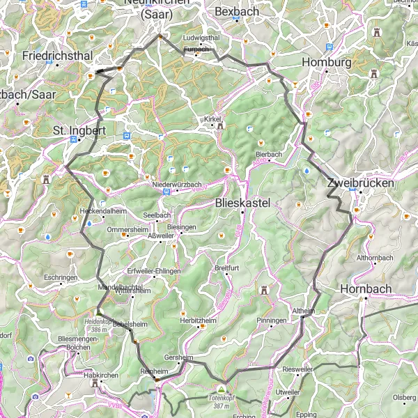
This road route offers a mix of scenic landscapes and challenging climbs, including the Galgenberg tower and Totenkopf summit. With a distance of 79km and an ascent of 1122m, this route is suitable for well-trained amateurs. It receives a difficulty rating of 4 and an epicness rating of 3.
road
79 km
1122 m
Tough
Route profile
Highlights on the route
0 km
0 km
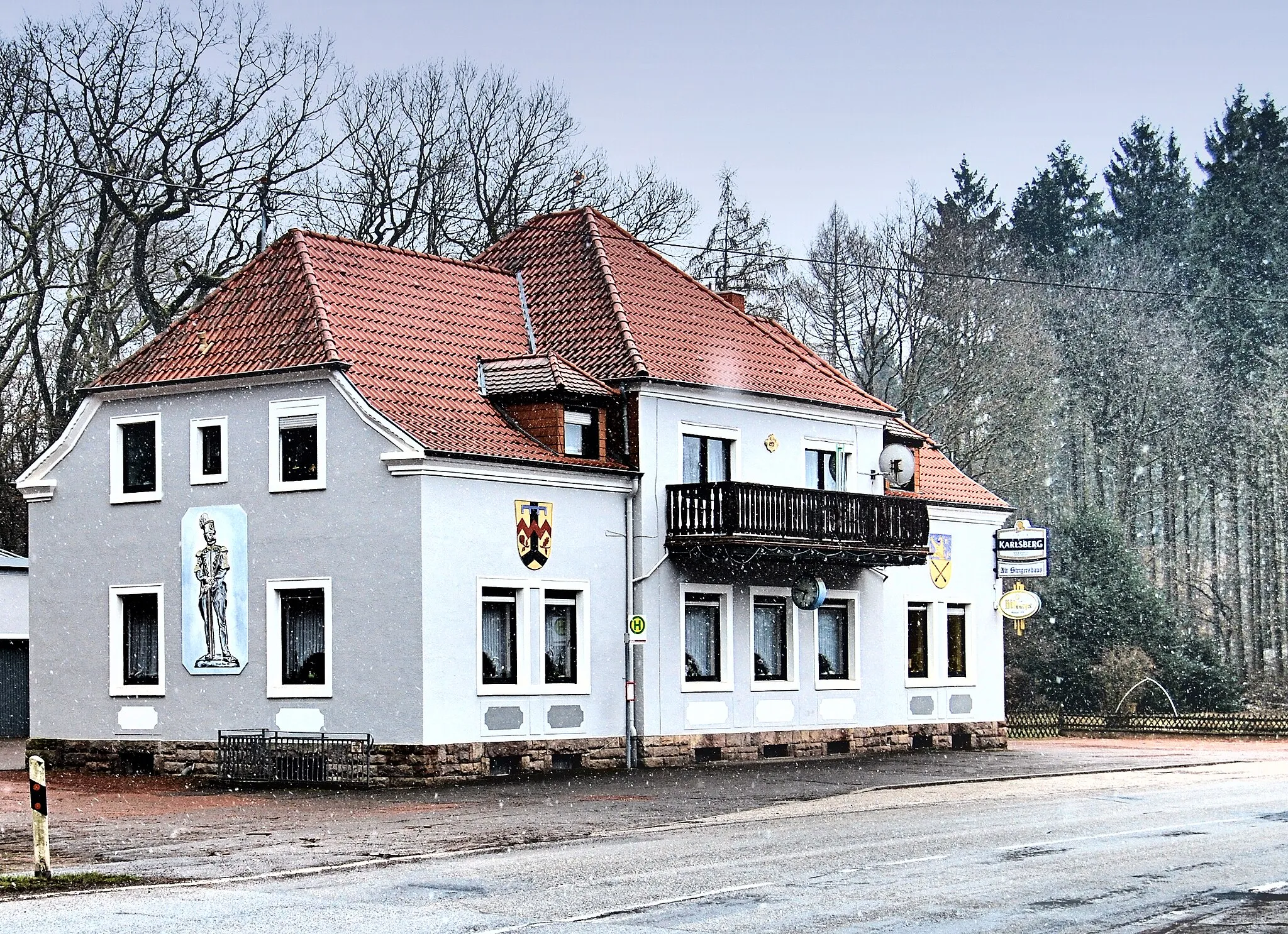
Start: Spiesen-Elversberg Village centerSpiesen-Elversberg: Thrilling Cycling Adventures in Saarland
Spiesen-Elversberg is a town located in the Saarland region of Germany. From a cyclist's perspective, Spiesen-Elversberg offers a mix of rolling countryside roads and challenging climbs. The area is surrounded by dense forests, providing a scenic environment for cycling. Nearby, cyclists can challenge themselves on the famous Nordschleife des Saarlandes, a 15-kilometer circuit known for its relentless climbs and hairpin bends. Additionally, Spiesen-Elversberg is well-connected to the Saar-Hunsrücksteig, a long-distance hiking and cycling trail that runs through the beautiful landscapes of the Saar-Hunsrück Nature Park. With its challenging terrains and natural beauty, Spiesen-Elversberg is a destination where both road and gravel cyclists can thrive.0 km
0 km
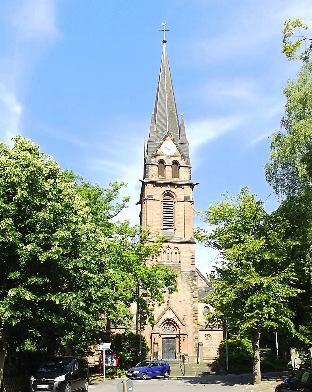
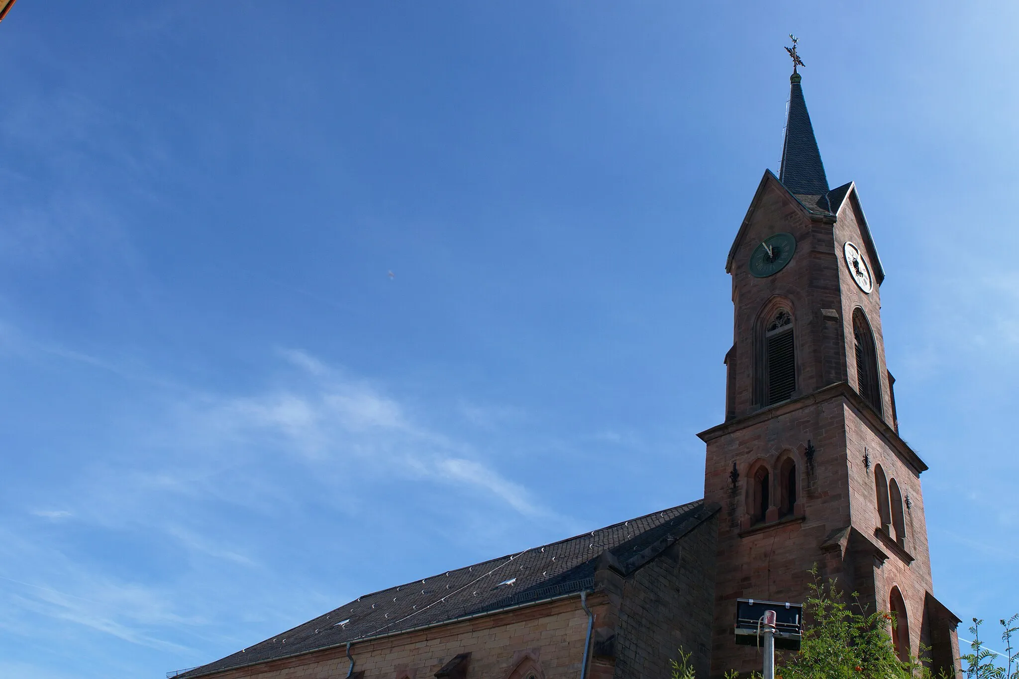
GalgenbergturmViewpointThe Galgenberg tower provides panoramic views of the surrounding countryside, making it a worthwhile stop along the route.
13 km
13 km
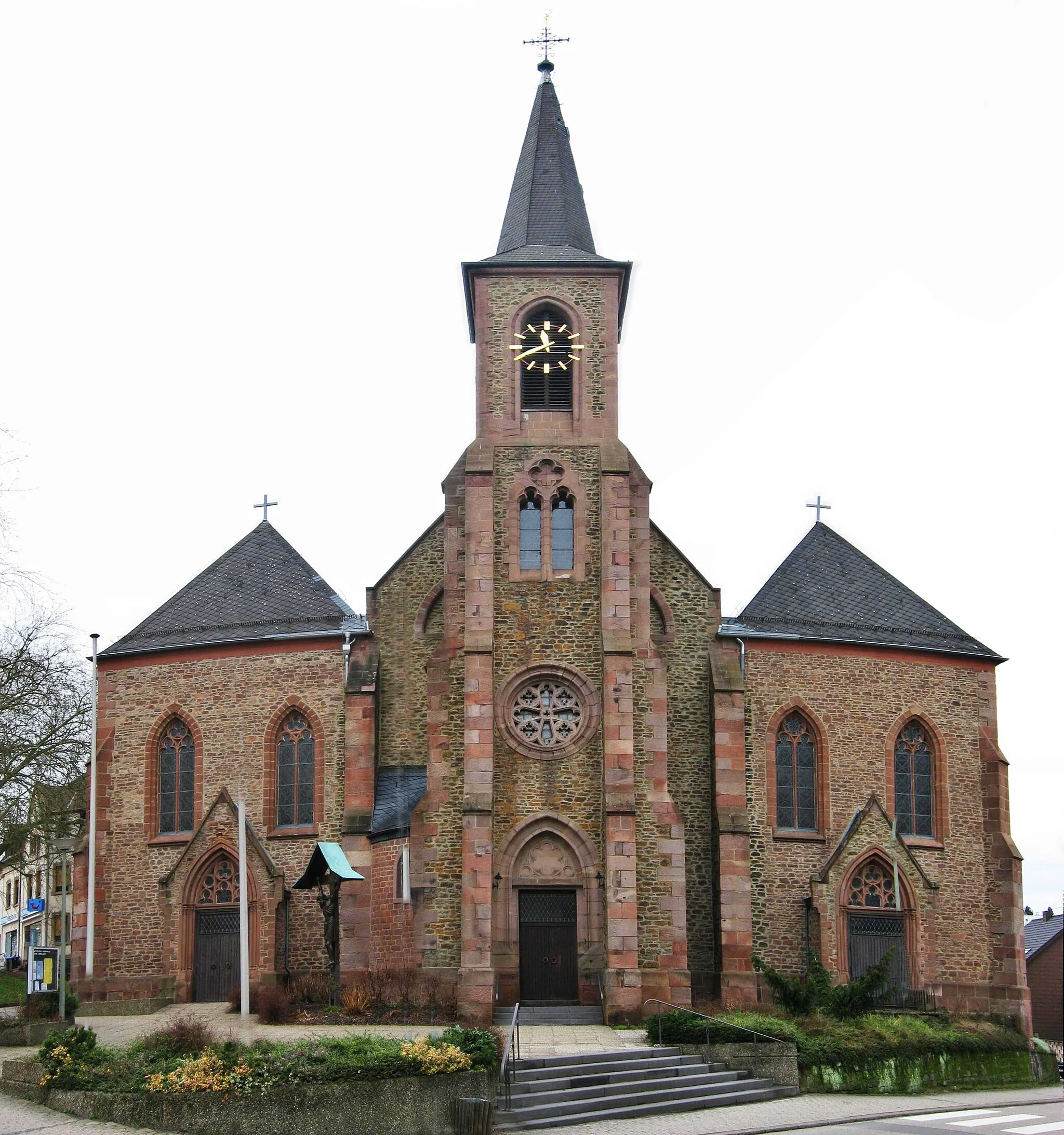
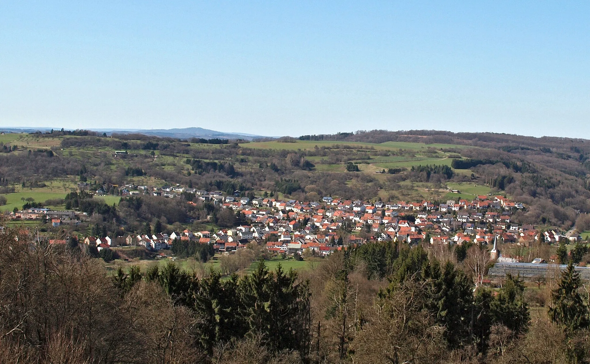
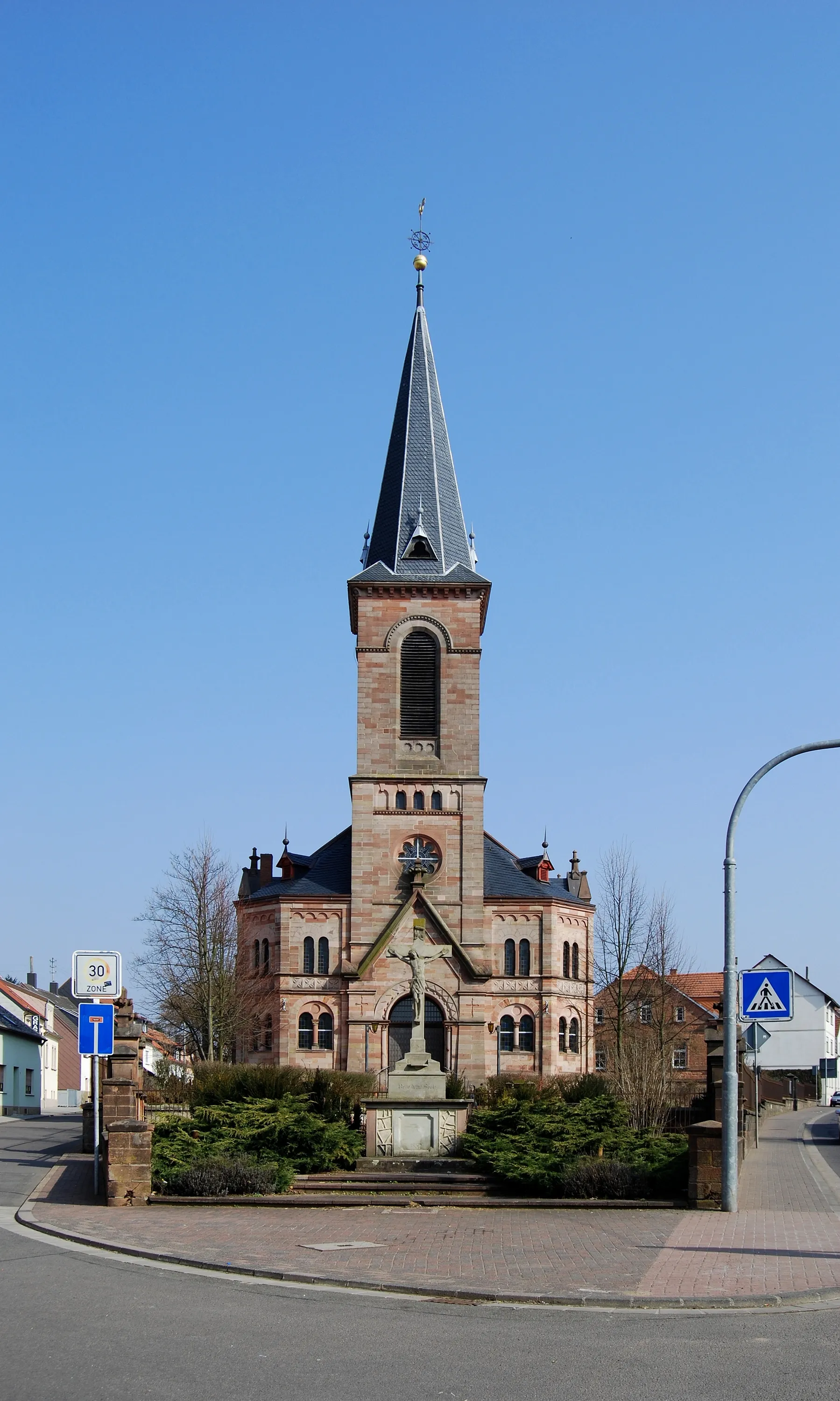
LimbachSub-urbLimbach is a quaint village known for its traditional architecture and peaceful atmosphere.
22 km
22 km
Hungerberg324 mPeakHungerberg is a scenic hill with beautiful views of the Saarland region.
37 km
37 km
AltheimVillageAltheim is a charming town with historical buildings and a rich cultural heritage.
45 km
45 km
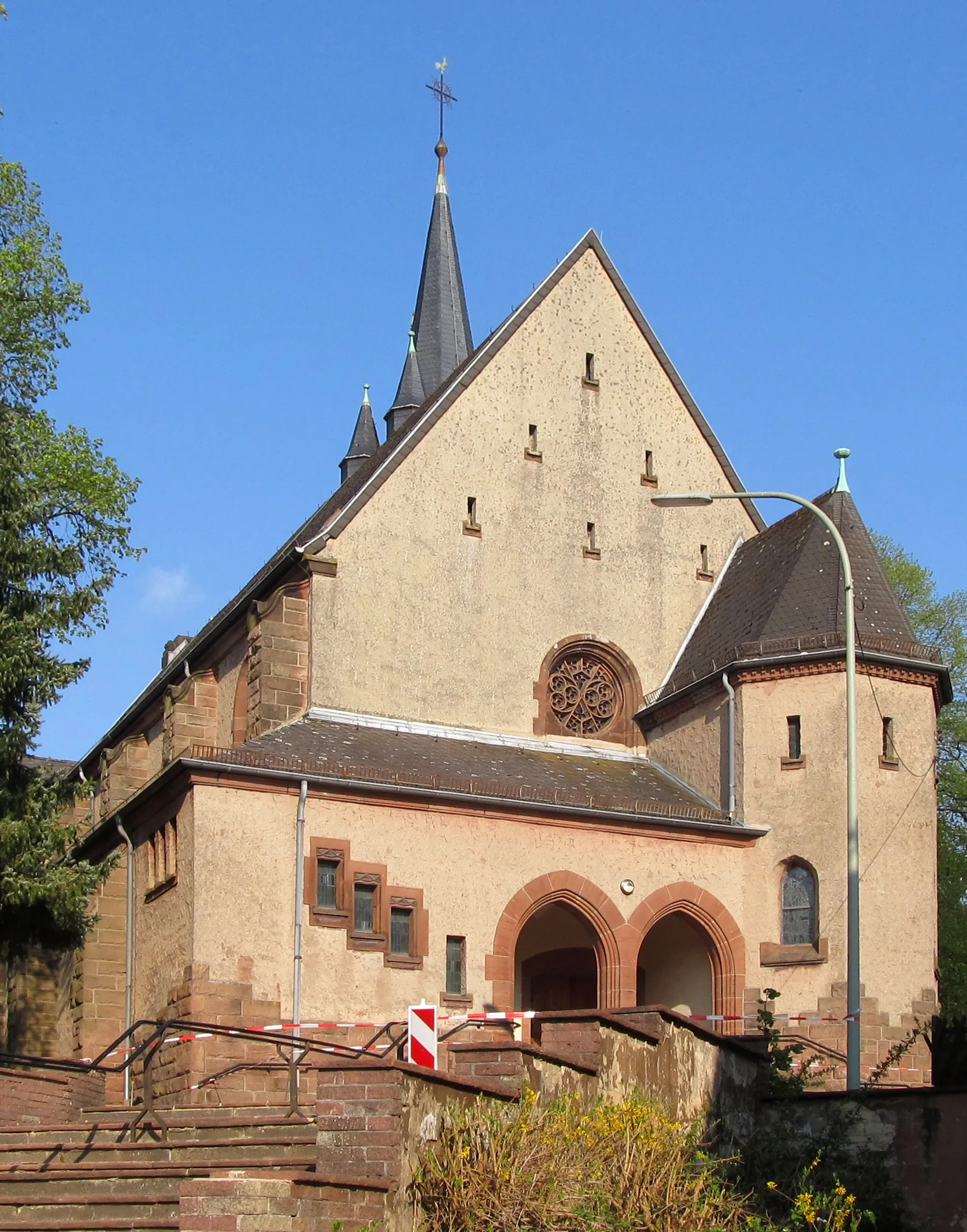
Totenkopf387 mPeakTotenkopf is the highest point in the area, offering breathtaking views from the summit.
48 km
48 km
GersheimVillageGersheim is a small town with picturesque streets and traditional German architecture.
60 km
60 km
OrmesheimSub-urbOrmesheim is a peaceful village with serene landscapes and charming countryside.
70 km
70 km
Schafkopf390 mPeakSchafkopf is a scenic hill known for its hiking trails and panoramic views.
78 km
78 km
ElversbergSub-urbElversberg, the starting and ending point of the route, offers beautiful scenery and local charm.
79 km
79 km
Finish: Spiesen-Elversberg Village centerSpiesen-Elversberg: Thrilling Cycling Adventures in Saarland
Cycling routes from Spiesen-Elversberg:
Galgenberg & Saarbrücker Schloss Gravel Route Steigberg & Obergailbach Gravel Route Galgenberg & Totenkopf Road Route Steigberg & Blies-Guersviller Epic Gravel Route Saarland Panorama Ride Saarland Gravel Adventure Kallenberg & Burg Ottweiler Gravel Route Saarland Heritage Ride Saarland Loop Saarland Challenge Scenic Road Cycling Journey Off-Road Gravel Discovery Long and Challenging Road Adventure The Ultimate Road Cycling Challenge Exploring Scenic Routes The Gravel Adventure
Cycling routes nearby: