Steigberg & Obergailbach Gravel Route
A gravel cycling route starting from Spiesen-Elversberg
A challenging gravel route featuring Steigberg and Obergailbach
Map
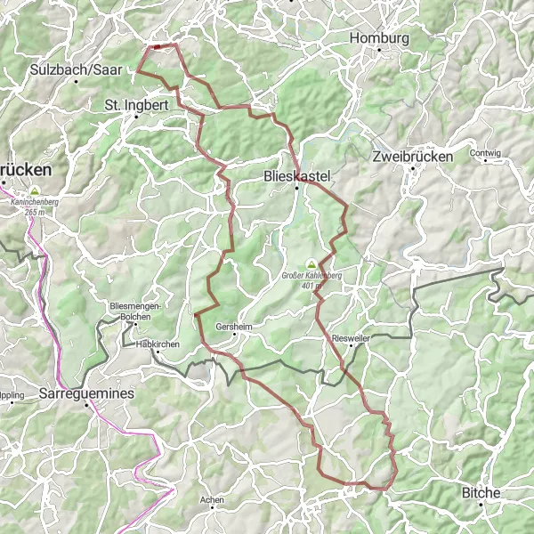
For experienced cyclists seeking a challenge, this gravel route covers a distance of 94km with an ascent of 1241m. Highlights include Steigberg and Obergailbach, both offering breathtaking views and challenging terrain. With a difficulty rating of 5 and an epicness rating of 5, this route is perfect for those looking for an epic cycling adventure.
gravel
94 km
1241 m
Savage
Route profile
Highlights on the route
0 km
0 km
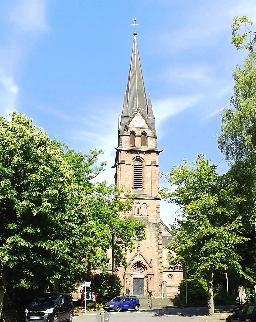
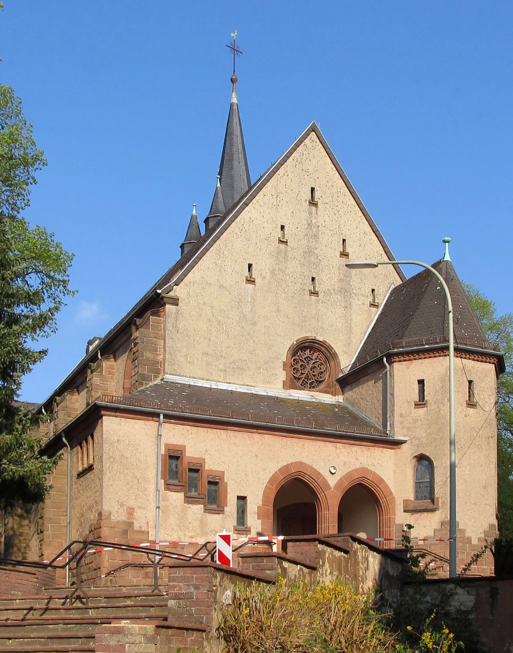
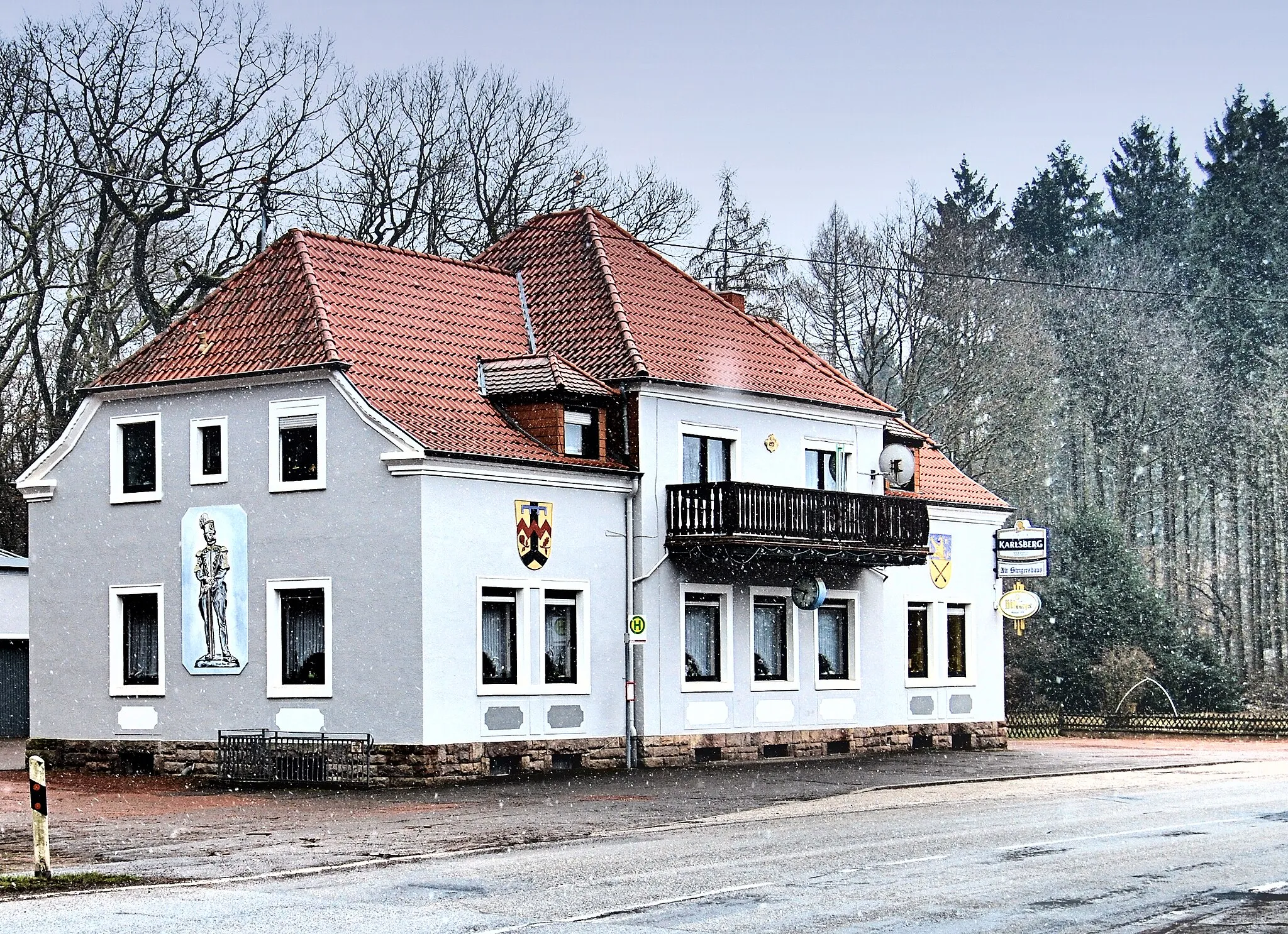
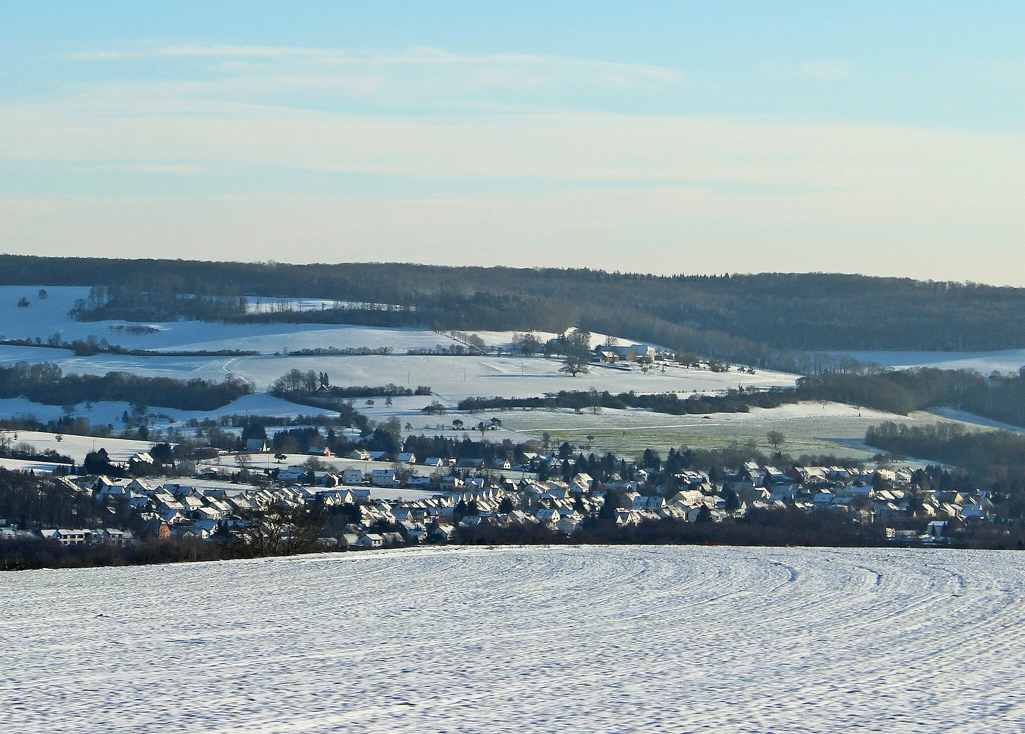
Start: Spiesen-Elversberg Village centerSpiesen-Elversberg: Thrilling Cycling Adventures in Saarland
Spiesen-Elversberg is a town located in the Saarland region of Germany. From a cyclist's perspective, Spiesen-Elversberg offers a mix of rolling countryside roads and challenging climbs. The area is surrounded by dense forests, providing a scenic environment for cycling. Nearby, cyclists can challenge themselves on the famous Nordschleife des Saarlandes, a 15-kilometer circuit known for its relentless climbs and hairpin bends. Additionally, Spiesen-Elversberg is well-connected to the Saar-Hunsrücksteig, a long-distance hiking and cycling trail that runs through the beautiful landscapes of the Saar-Hunsrück Nature Park. With its challenging terrains and natural beauty, Spiesen-Elversberg is a destination where both road and gravel cyclists can thrive.6 km
6 km
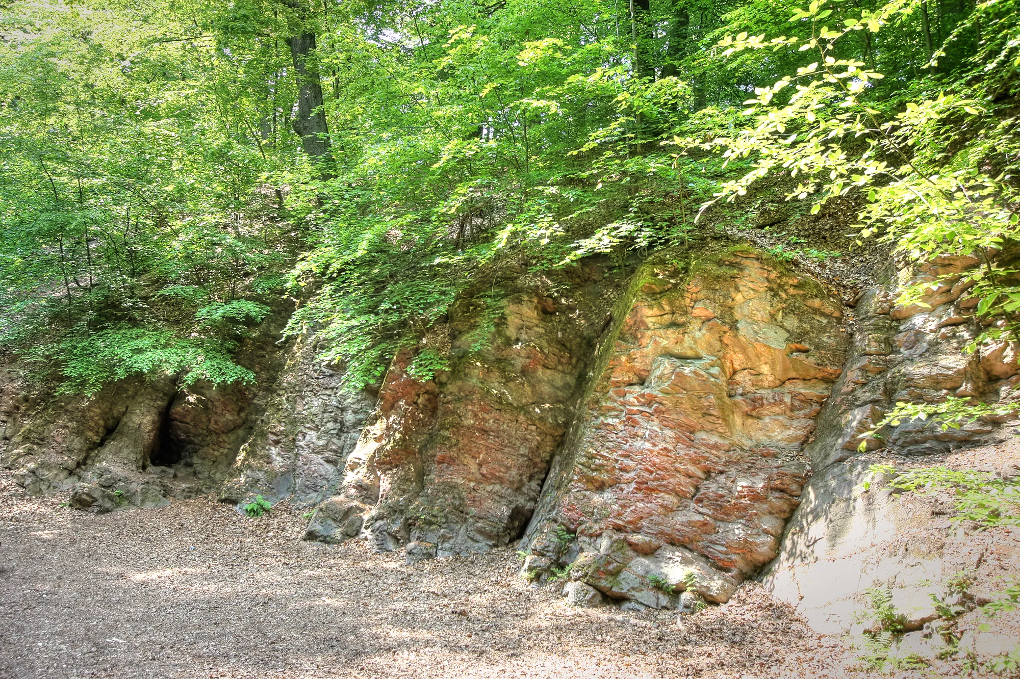
Steigberg306 mPeakSteigberg is a steep climb with stunning views over the Saarland countryside, making it a highlight for adventurous cyclists.
12 km
12 km
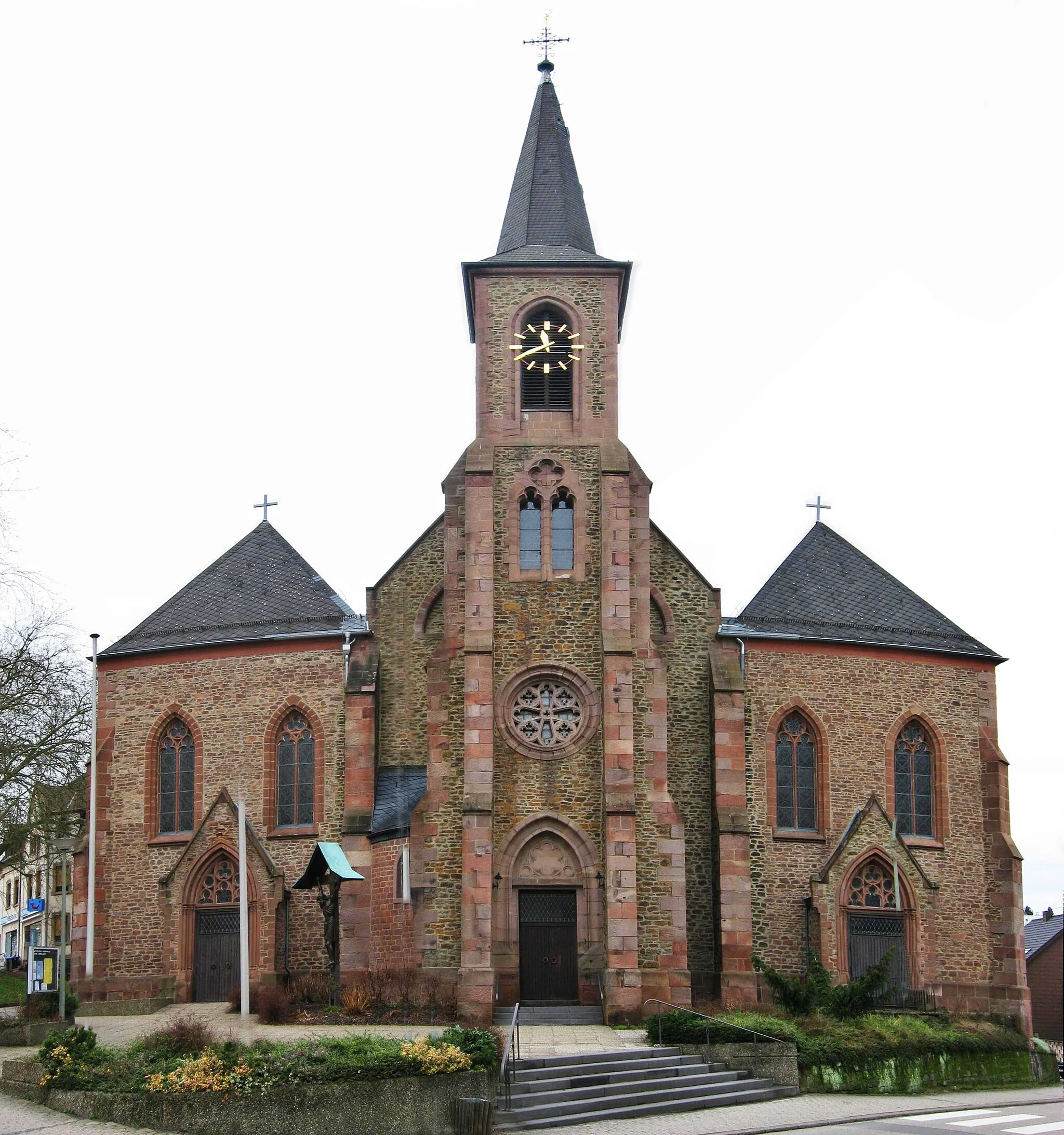
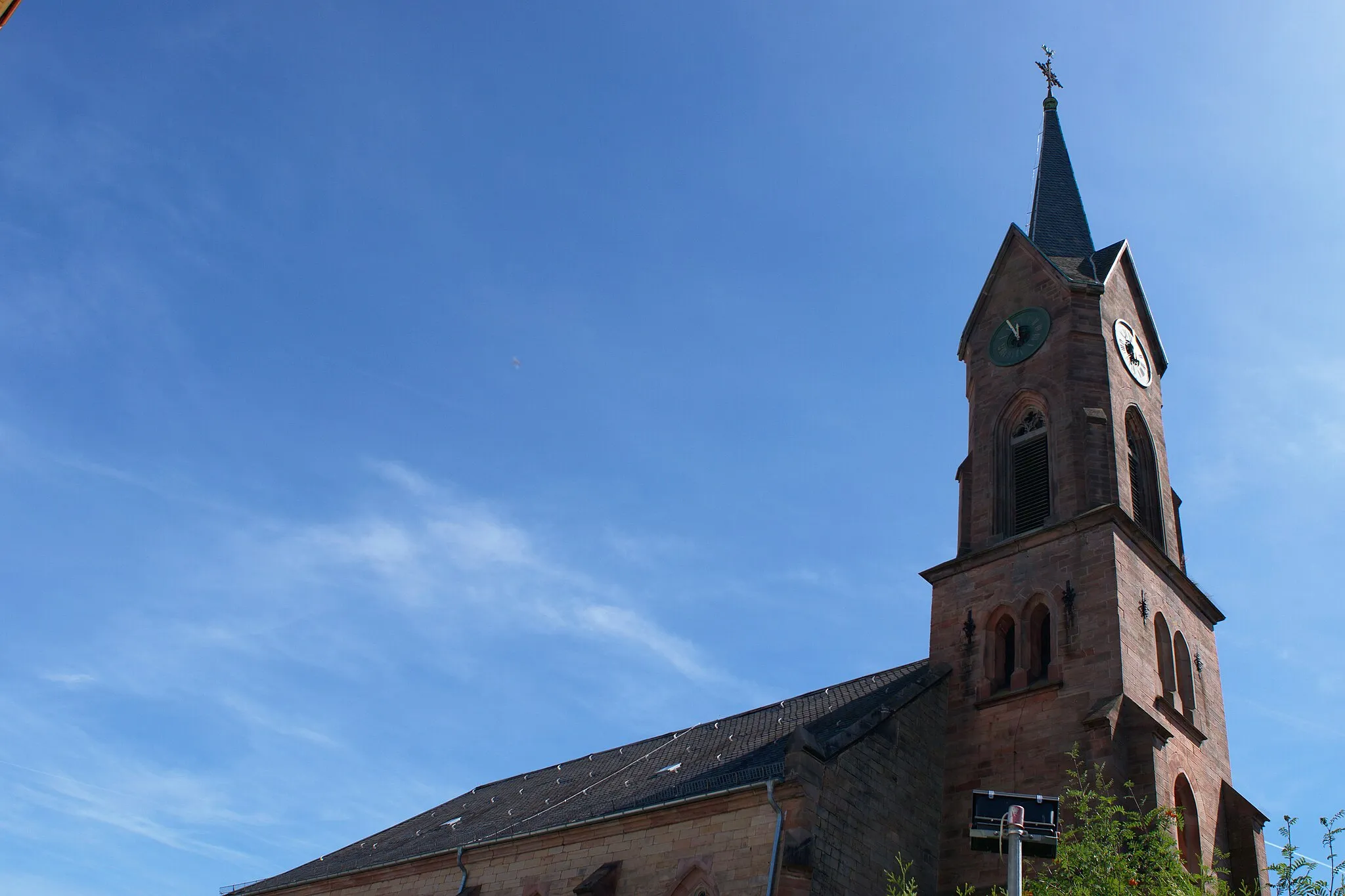
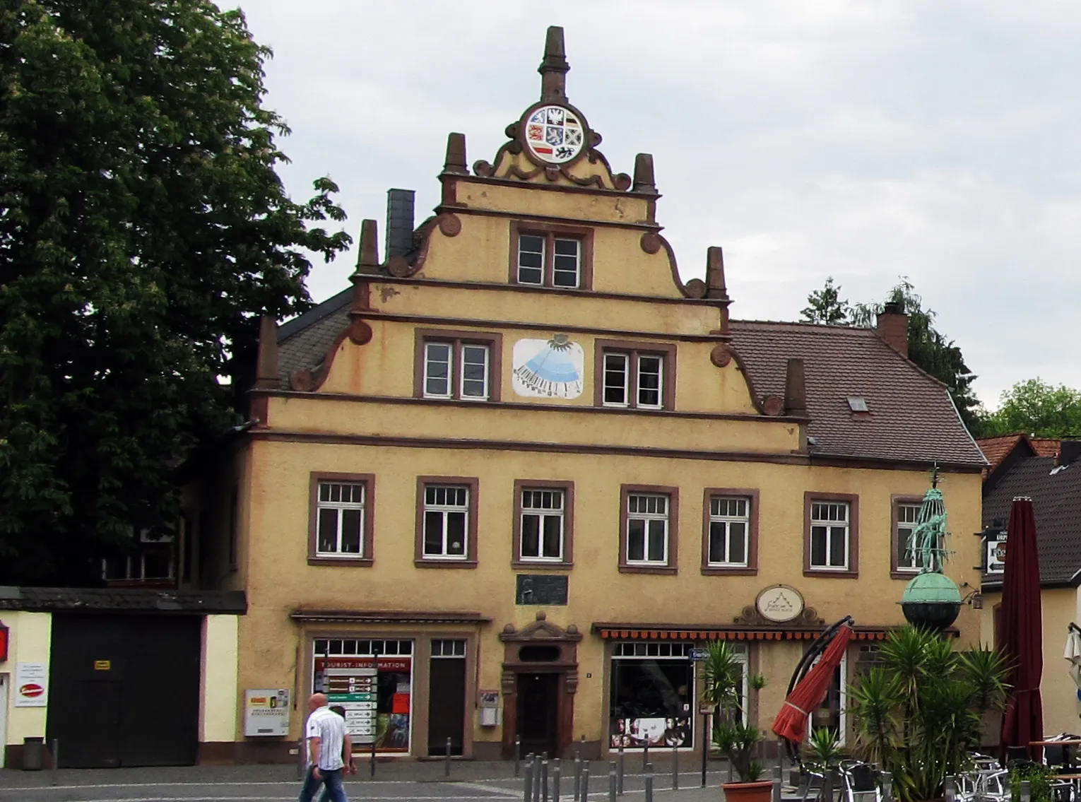
KirkelVillageKirkel is a historical town with a well-preserved castle and scenic surrounding landscapes.
26 km
26 km
Großer Kahlenberg401 mPeakGroßer Kahlenberg is a challenging climb that rewards cyclists with panoramic views at the summit.
35 km
35 km
UtweilerVillageUtweiler is a small village full of traditional architecture and a peaceful atmosphere.
46 km
46 km
Helmsberg350 mPeakHelmsberg is a rural area known for its forests and tranquil surroundings, making it a serene highlight along the route.
49 km
49 km
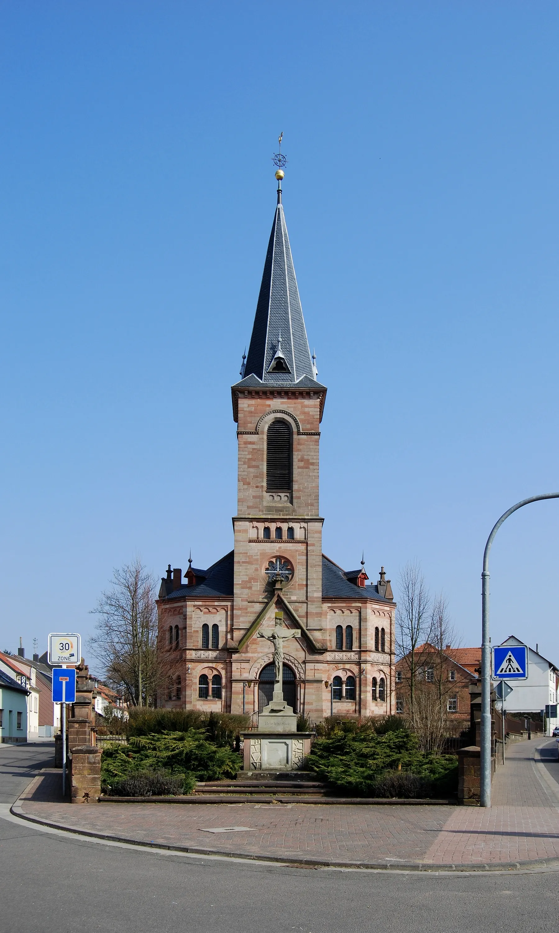
Petit-RéderchingVillagePetit-Réderching is a French town located along the border, known for its charming streets and historical landmarks.
60 km
60 km
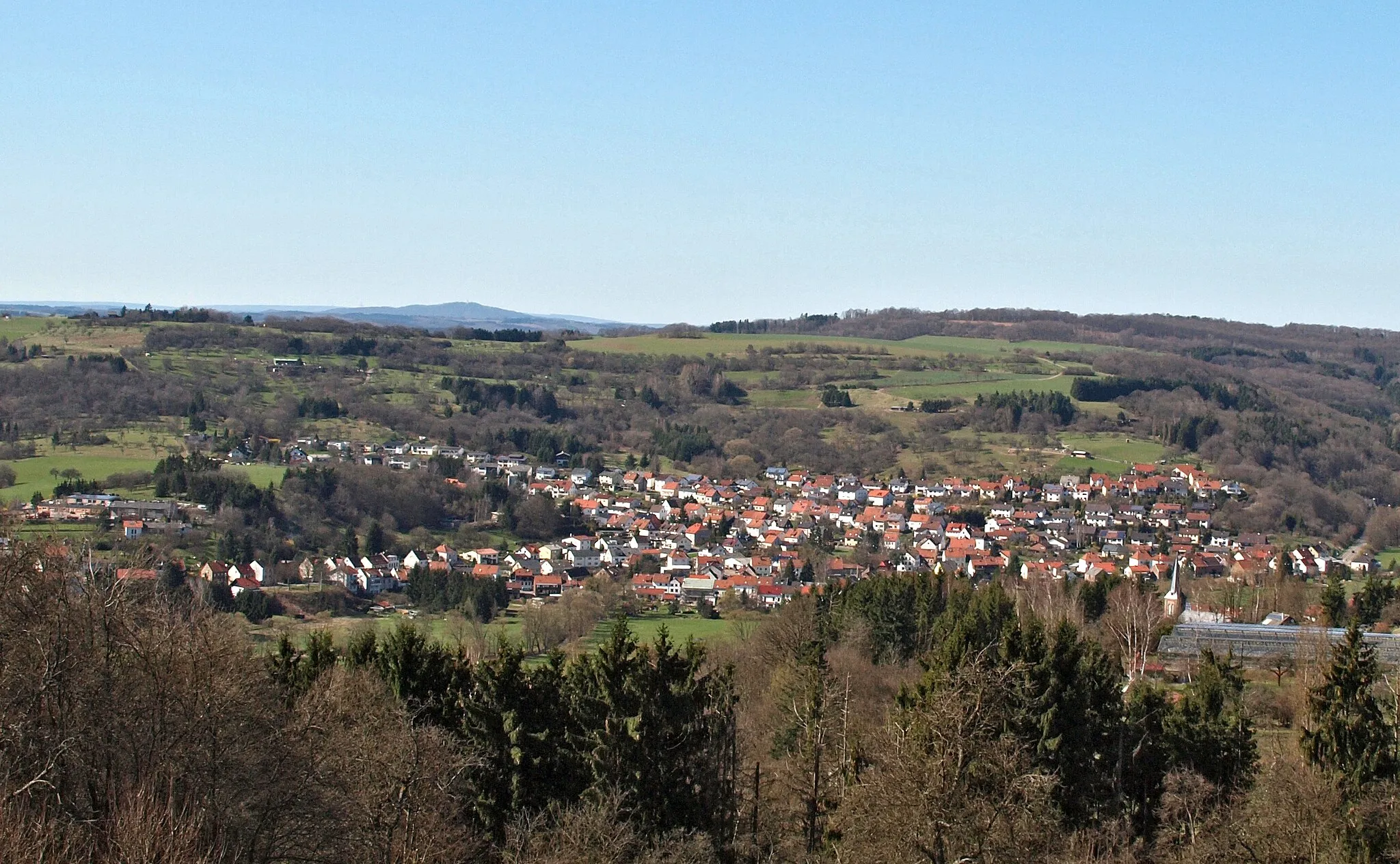
ObergailbachVillageObergailbach is a picturesque village with stunning landscapes and traditional charm.
68 km
68 km
Hardt389 mPeakHardt is a beautiful forest area known for its scenic trails and peaceful surroundings.
76 km
76 km
BiesingenVillageBiesingen is a rural village with beautiful natural landscapes and charming architecture.
80 km
80 km
Kieselberg332 mPeakKieselberg is a small hill with panoramic views, providing a memorable highlight along the route.
94 km
94 km
Finish: Spiesen-Elversberg Village centerSpiesen-Elversberg: Thrilling Cycling Adventures in Saarland
Cycling routes from Spiesen-Elversberg:
Galgenberg & Saarbrücker Schloss Gravel Route Steigberg & Obergailbach Gravel Route Galgenberg & Totenkopf Road Route Steigberg & Blies-Guersviller Epic Gravel Route Saarland Panorama Ride Saarland Gravel Adventure Kallenberg & Burg Ottweiler Gravel Route Saarland Heritage Ride Saarland Loop Saarland Challenge Scenic Road Cycling Journey Off-Road Gravel Discovery Long and Challenging Road Adventure The Ultimate Road Cycling Challenge Exploring Scenic Routes The Gravel Adventure
Cycling routes nearby: