Friedrichsthal to Sankt Wendel Road Challenge
A road cycling route starting from Friedrichsthal
A challenging road route from Friedrichsthal to Sankt Wendel
Map
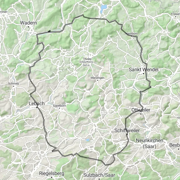
This road route from Friedrichsthal to Sankt Wendel offers a challenging ride with a total ascent of 1690 meters and a distance of 96 kilometers. Get ready to conquer steep climbs, thrilling descents, and scenic country roads. The highlights along this route include Friedrichsthal, the starting point of the ride, Göttelborner Höhe, offering panoramic views of the Saarland region, and Hoferkopf, a hill known for its challenging terrain and beautiful natural surroundings.
road
96 km
1690 m
Savage
Route profile
Highlights on the route
0 km
0 km
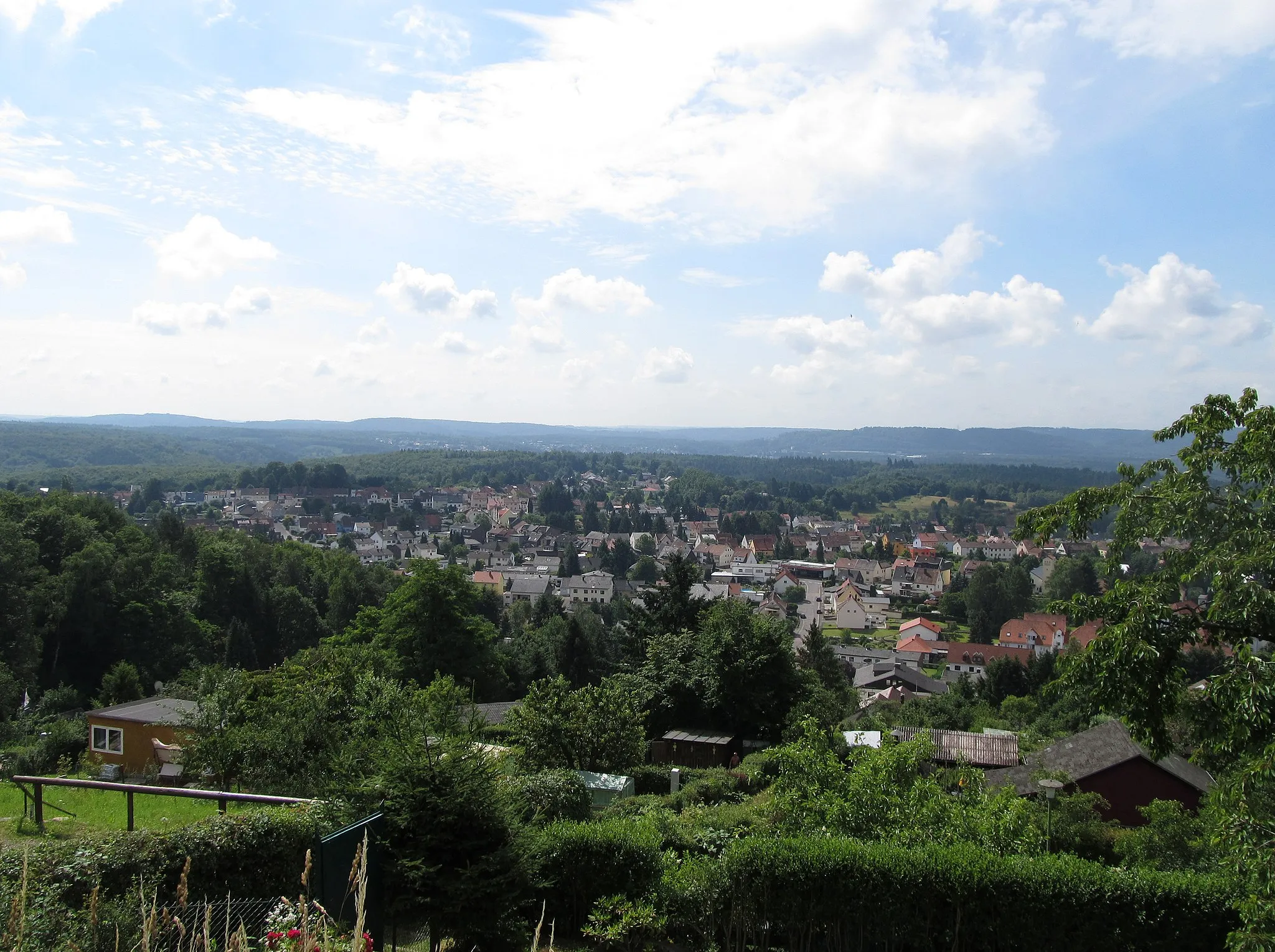
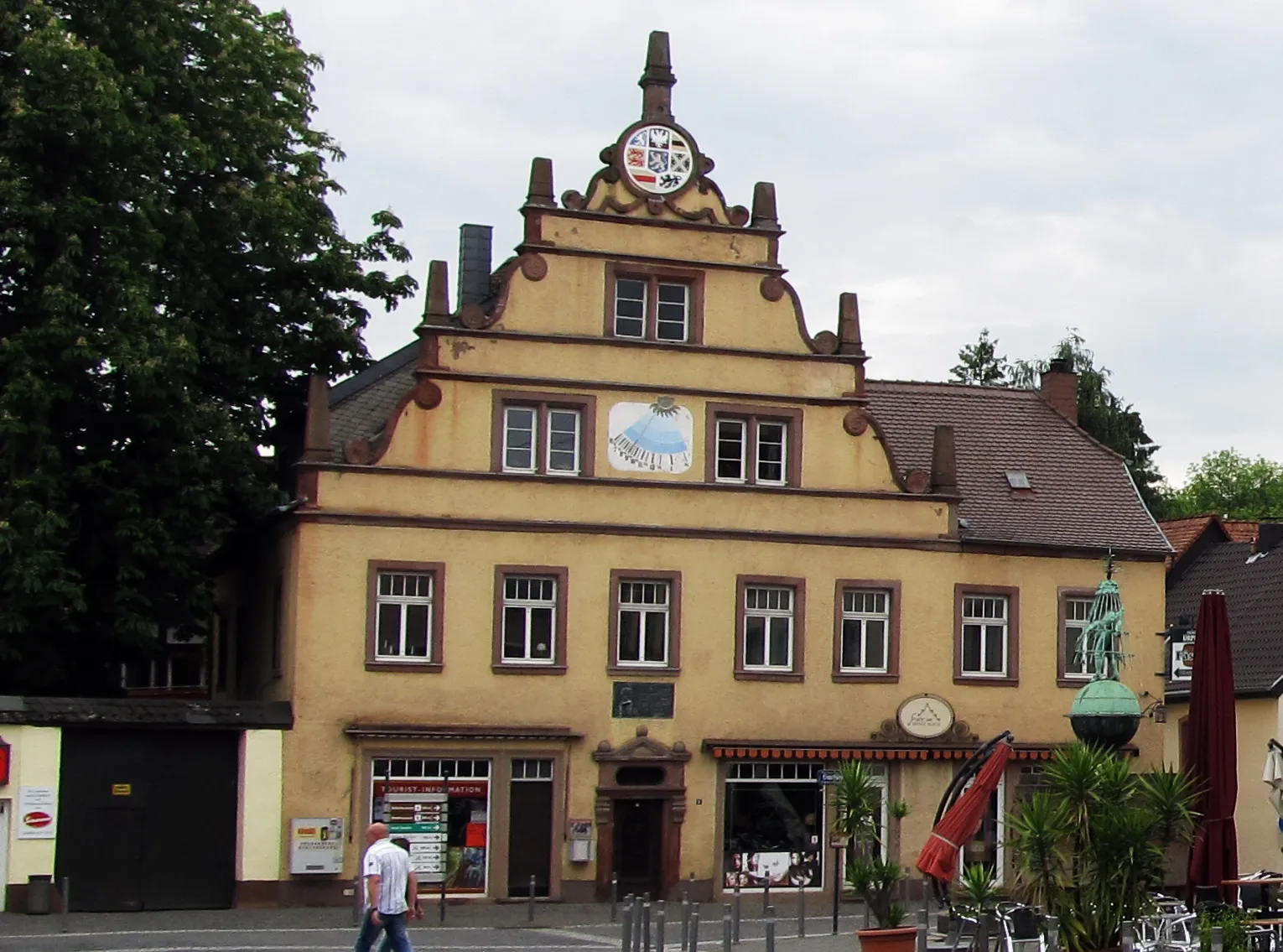
Start: Friedrichsthal City centerFriedrichsthal: Exploring the Scenic Trails of Friedrichsthal
Friedrichsthal, located in the Saarland region of Germany, offers a variety of cycling opportunities for both road and gravel cyclists. The locality features a mix of flat roads and gentle hills, providing options for riders of different abilities. Additionally, the area has several well-marked cycling trails, making navigation easy for visitors. One of the popular cycling spots nearby is the Karlsberg Forest, known for its scenic beauty and diverse terrain. With its cycling-friendly atmosphere and access to picturesque trails, Friedrichsthal is a great destination for cyclists looking to explore the Saarland region.0 km
0 km
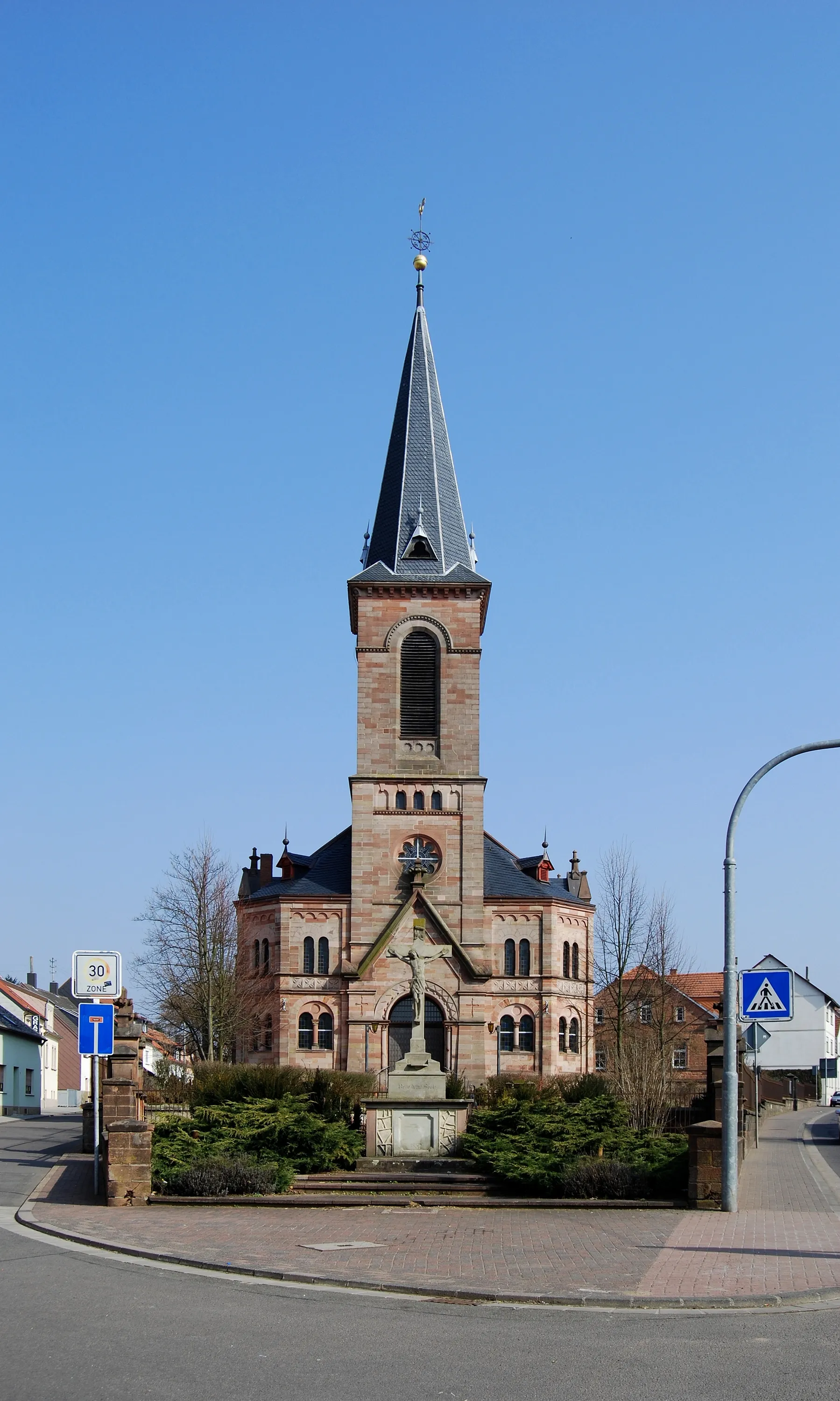
FriedrichsthalTownFriedrichsthal is the starting point of the route. Take a moment to explore the town and its historic landmarks before embarking on the challenging ride.
7 km
7 km
Göttelborner Höhe444 mPeakGöttelborner Höhe is a popular viewpoint offering panoramic views of the Saarland region. The steep climb to the top is rewarded with breathtaking vistas and a sense of accomplishment.
23 km
23 km
Wünschberg293 mPeakWünschberg is a hill with challenging terrain and beautiful natural surroundings. Test your climbing skills and enjoy the stunning scenery along the way.
24 km
24 km
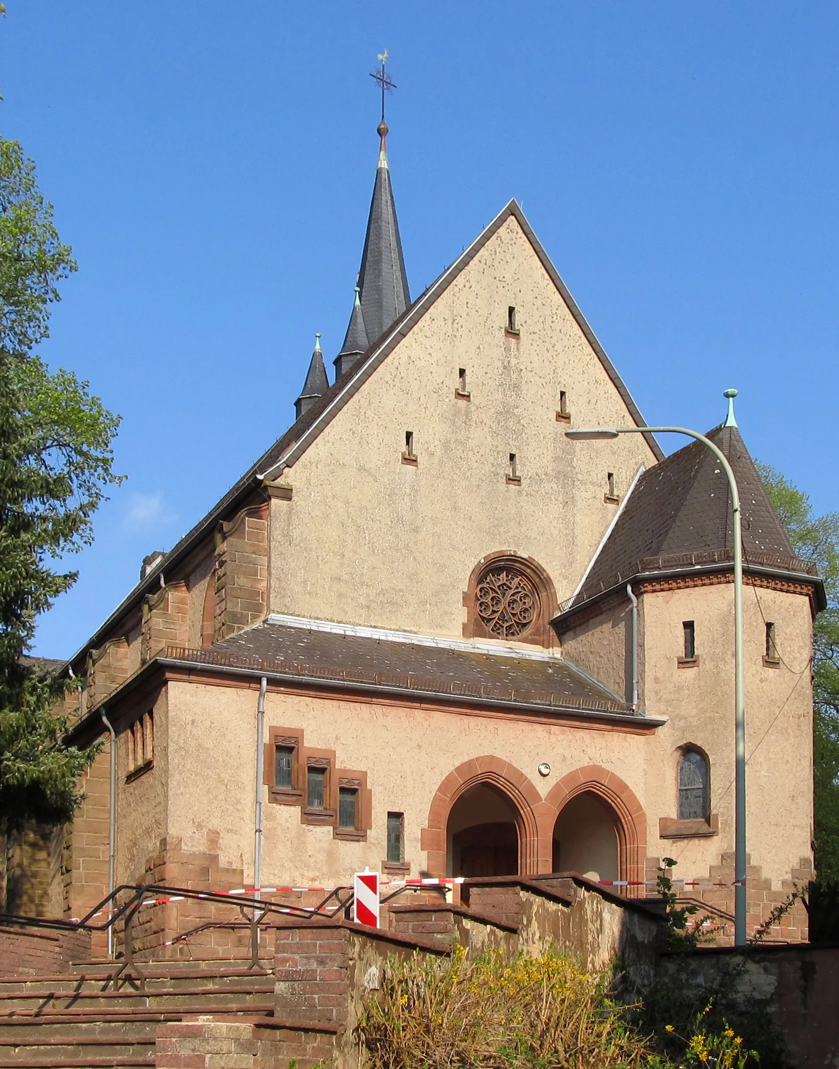
LebachTownLebach is known for its legendary climbing routes and challenging terrain. Its reputation among cyclists makes it an epic destination for road cycling enthusiasts.
32 km
32 km
LimbachVillageLimbach is a small village known for its picturesque landscapes and traditional architecture. Take a moment to appreciate the tranquility and natural beauty of the area.
40 km
40 km
Hölzenberg404 mPeakHölzenberg is a scenic hill offering panoramic views of the surrounding countryside. The challenging climb is worth it for the incredible vistas from the top.
53 km
53 km
Eckersberg504 mPeakEckersberg is a charming village with historic buildings and well-preserved architecture. Explore its streets and discover its hidden gems.
64 km
64 km
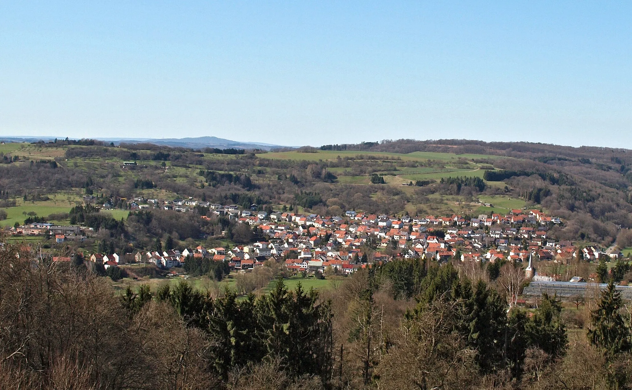
NambornVillageNamborn is a village with idyllic landscapes and beautiful nature trails. Enjoy a peaceful rest here and admire the natural beauty of the surroundings.
73 km
73 km
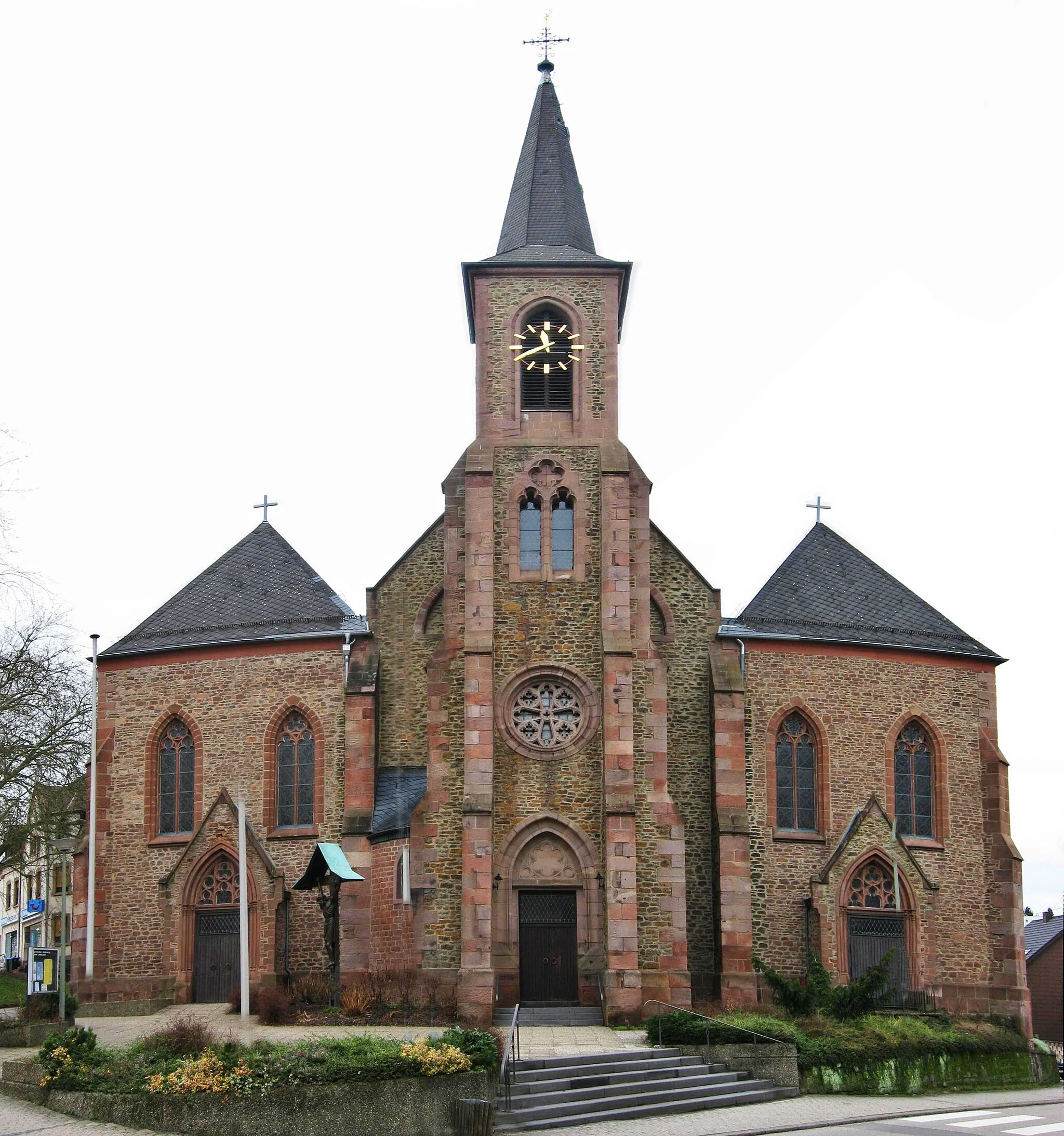
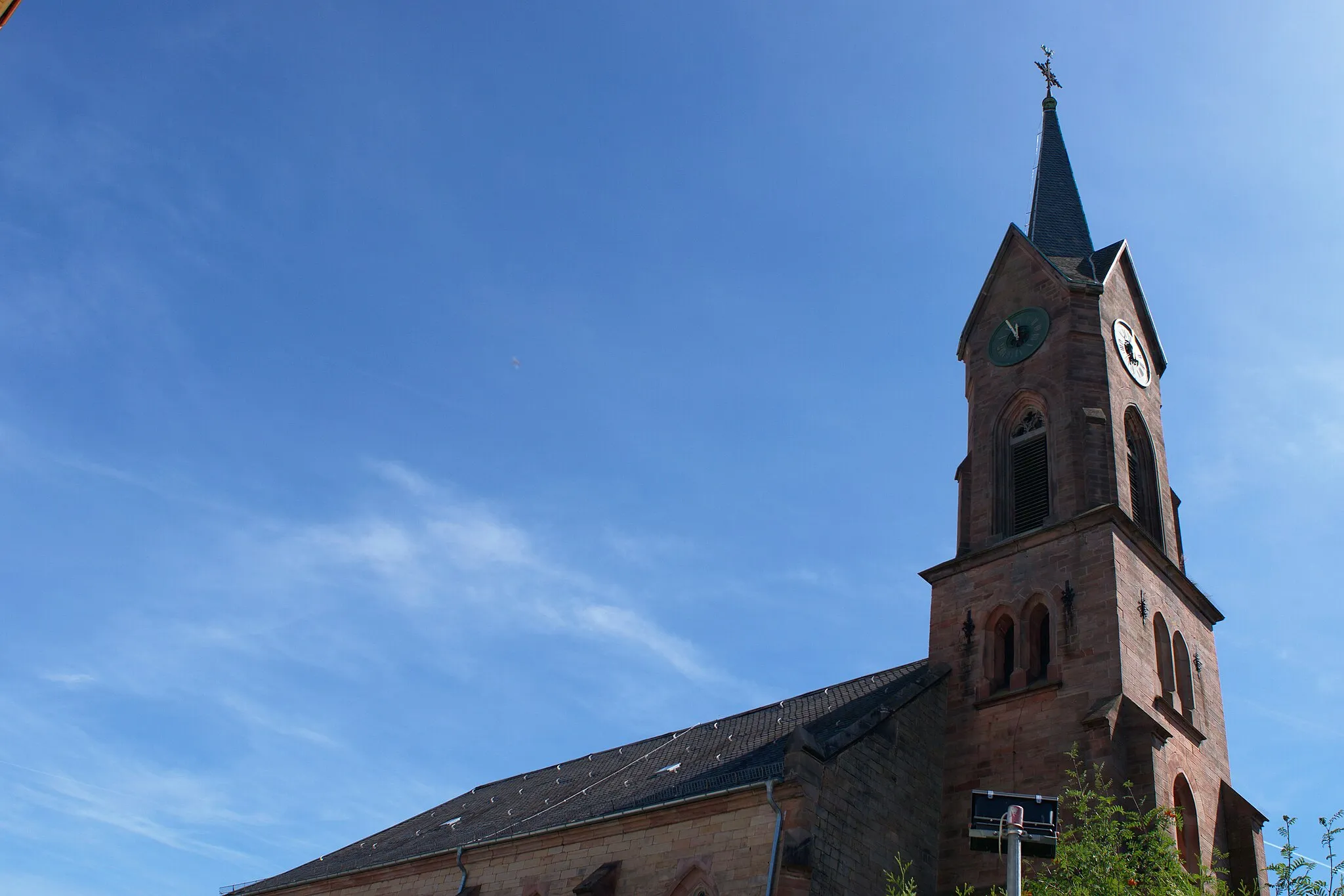
Sankt WendelTownSankt Wendel is a popular destination for cyclists, thanks to its challenging routes and scenic landscapes. Immerse yourself in the cycling culture and explore the town's amenities for cyclists.
82 km
82 km
Ziegelberg323 mPeakZiegelberg is a hill known for its challenging ascent and rewarding panoramic views. Take a moment to catch your breath and appreciate the incredible vistas.
93 km
93 km
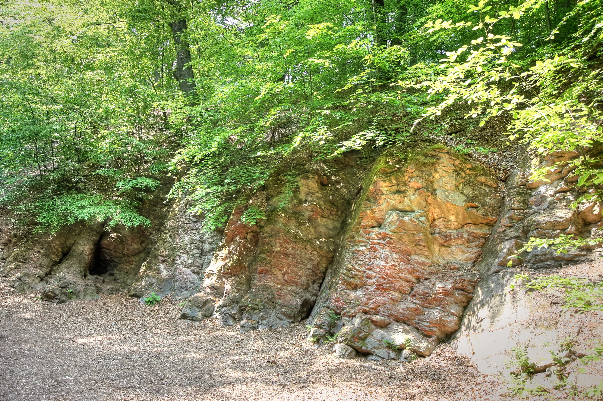
Zentrum für BiodokumentationAttractionZentrum für Biodokumentation is an interesting stop for nature enthusiasts. Learn about local flora and fauna and discover the region's natural diversity.
94 km
94 km
Hoferkopf392 mPeakHoferkopf is a popular spot for cyclists, thanks to its challenging climbs and breathtaking views. Be prepared for a thrilling ride and rewarding scenery.
96 km
96 km
Finish: Friedrichsthal City centerFriedrichsthal: Exploring the Scenic Trails of Friedrichsthal
Cycling routes from Friedrichsthal:
The Saarland Tour Road Adventure to Losheim am See The Ultimate Challenge The Gravel Adventure Friedrichsthal to Sankt Wendel Road Challenge Scenic Ride to Merzig Road Route Friedrichsthal to Quierschied Gravel Route The Gravel Escape The Gravel Adventure The Epic Adventure Road Cycling Adventure Gravel Adventure
Cycling routes nearby: