Woods and Hills
A road cycling route starting from Marpingen
Explore the beautiful woods and hills of Saarland on this scenic cycling route.
Map
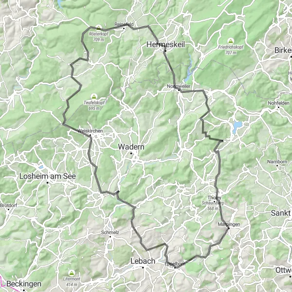
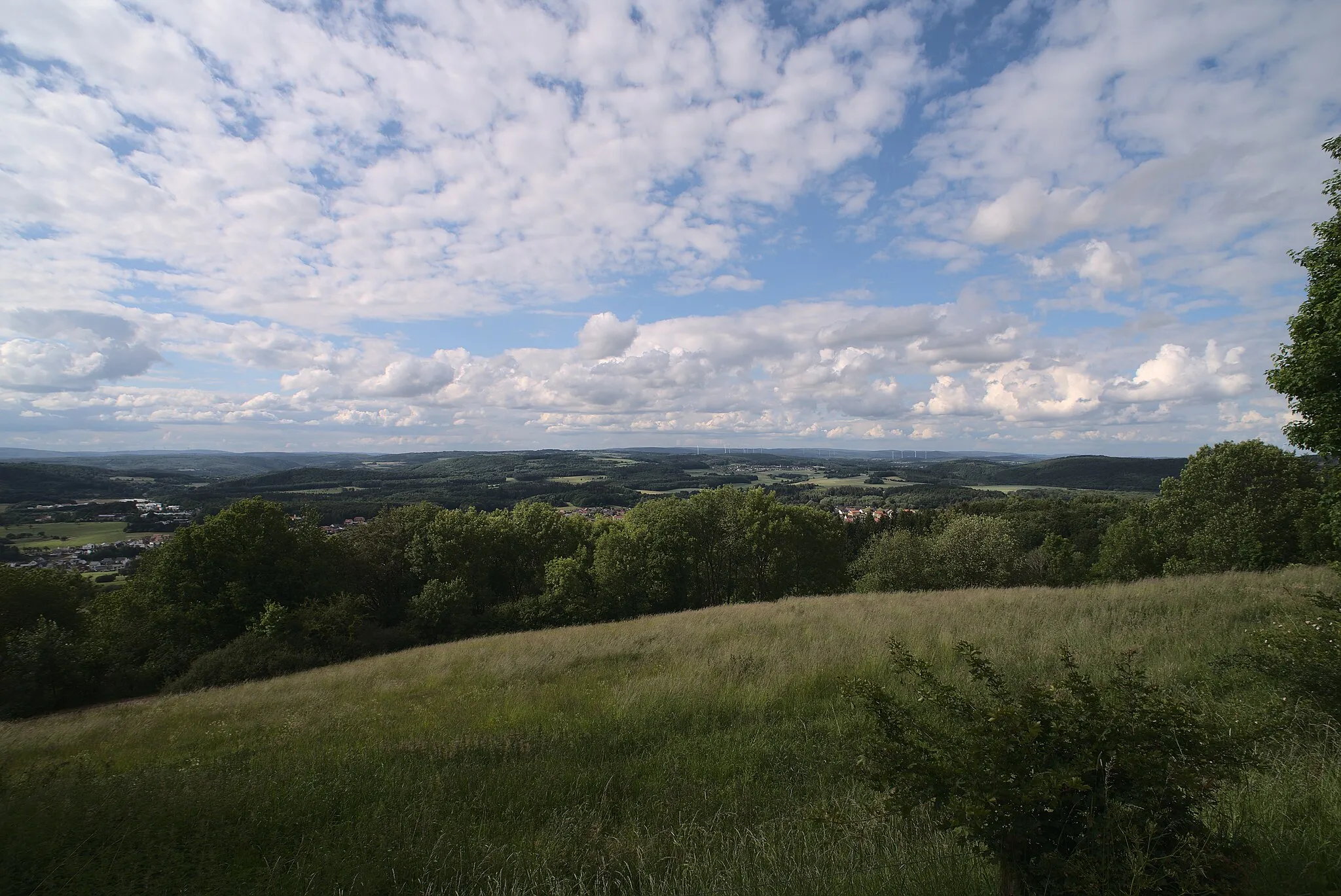
This round-trip cycling route starting near Marpingen takes you through the stunning woods and hills of Saarland. With a total distance of 102 kilometers and an ascent of 1801 meters, it is suitable for well-trained amateur cyclists. The route offers beautiful natural scenery and some challenging climbs. Highlights along the way include Bastberg, Eppelborn, Limbach, and Köpfchen. These spots not only provide great views but also offer interesting insights into the history and culture of the region.
road
102 km
1801 m
Tough
Route profile
Highlights on the route
0 km
0 km
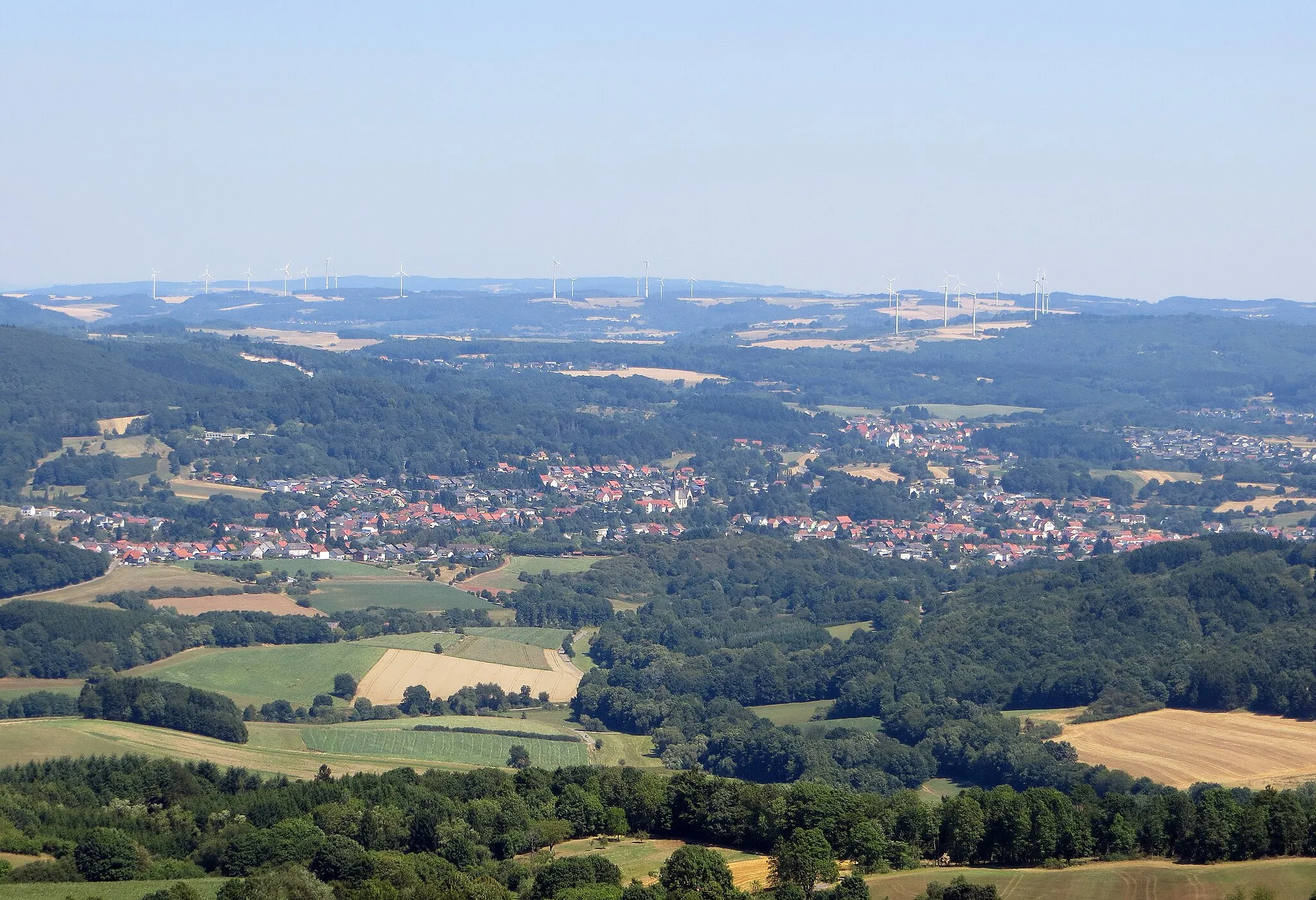
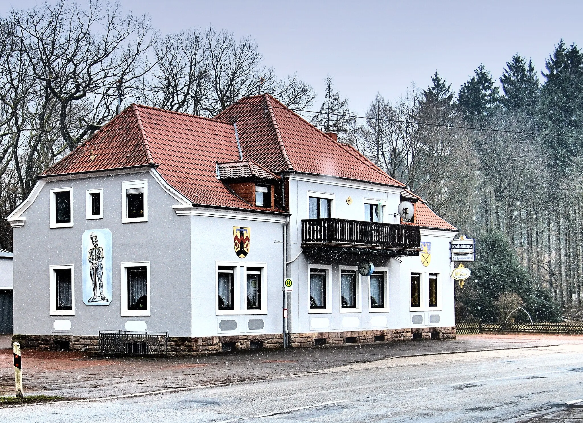
Start: Marpingen Village centerMarpingen: Tranquil cycling haven in Saarland, Germany
Marpingen, located in Saarland, Germany, is a cyclist's paradise with its scenic routes and well-paved roads. Cyclists can enjoy tranquil countryside views while riding through the region. Marpingen also offers various cycle paths suitable for gravel biking. A notable cycling spot nearby is the Hoxberg Bergzeitfahren, a well-known hill climb challenge. With its cyclist-friendly infrastructure and beautiful surroundings, Marpingen is an excellent destination for cyclists.1 km
1 km
Bastberg356 mPeakBastberg provides panoramic views of the surrounding countryside.
9 km
9 km
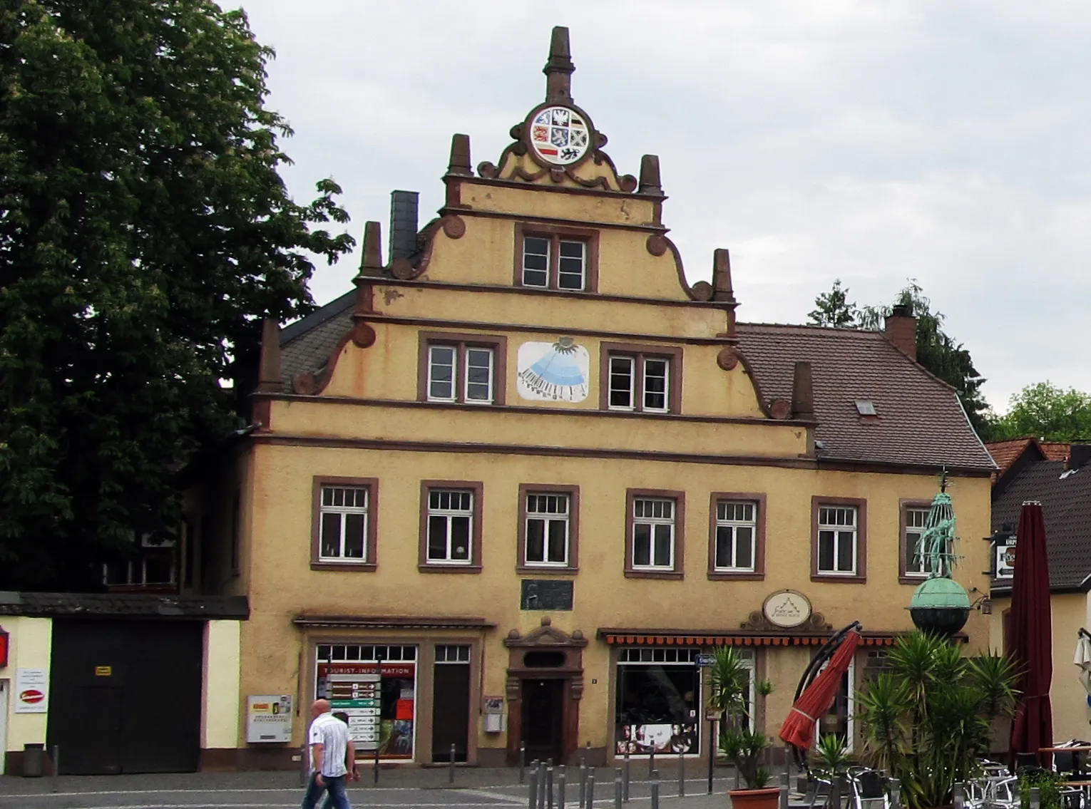
EppelbornVillageEppelborn is known for its picturesque village center and historic buildings.
22 km
22 km
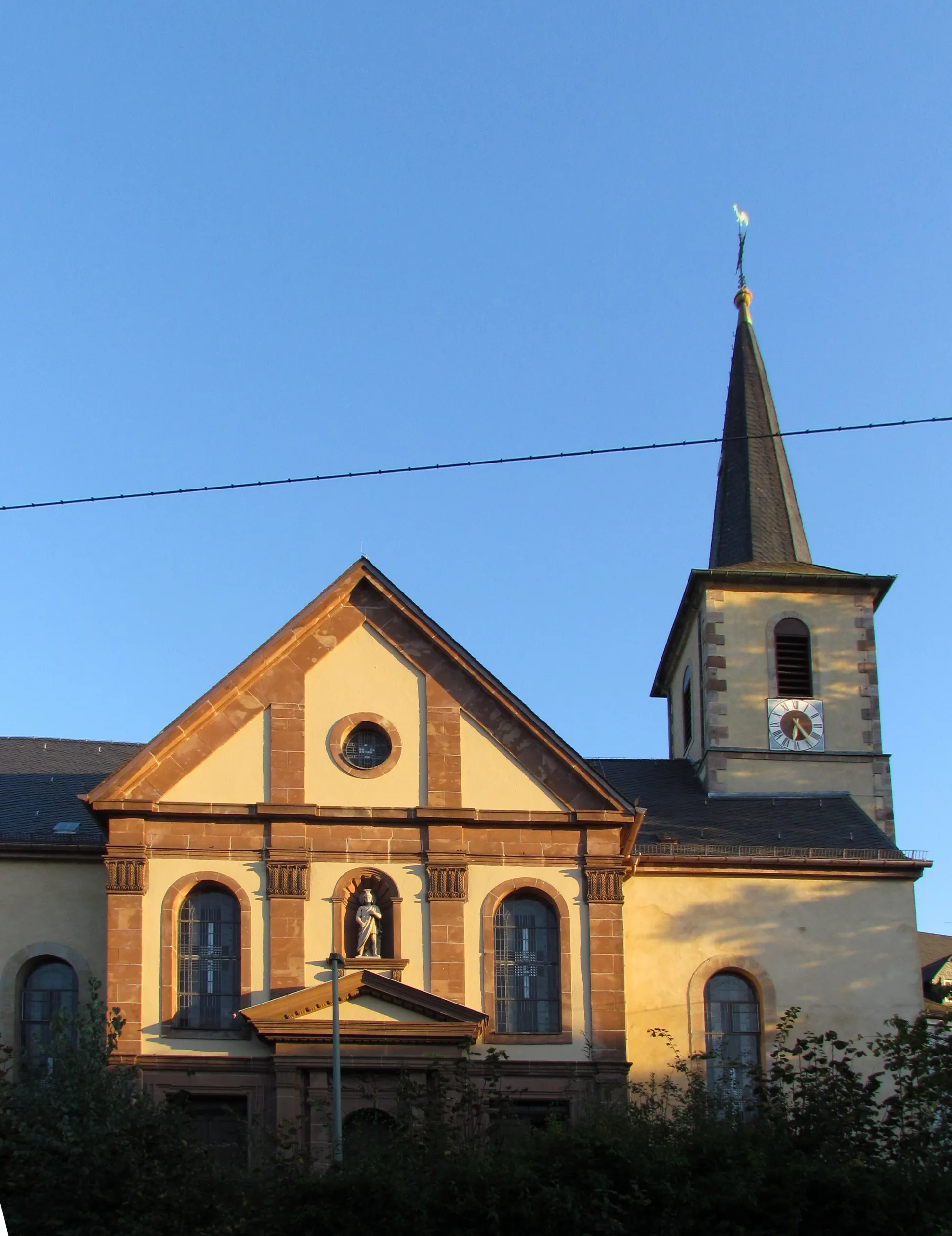
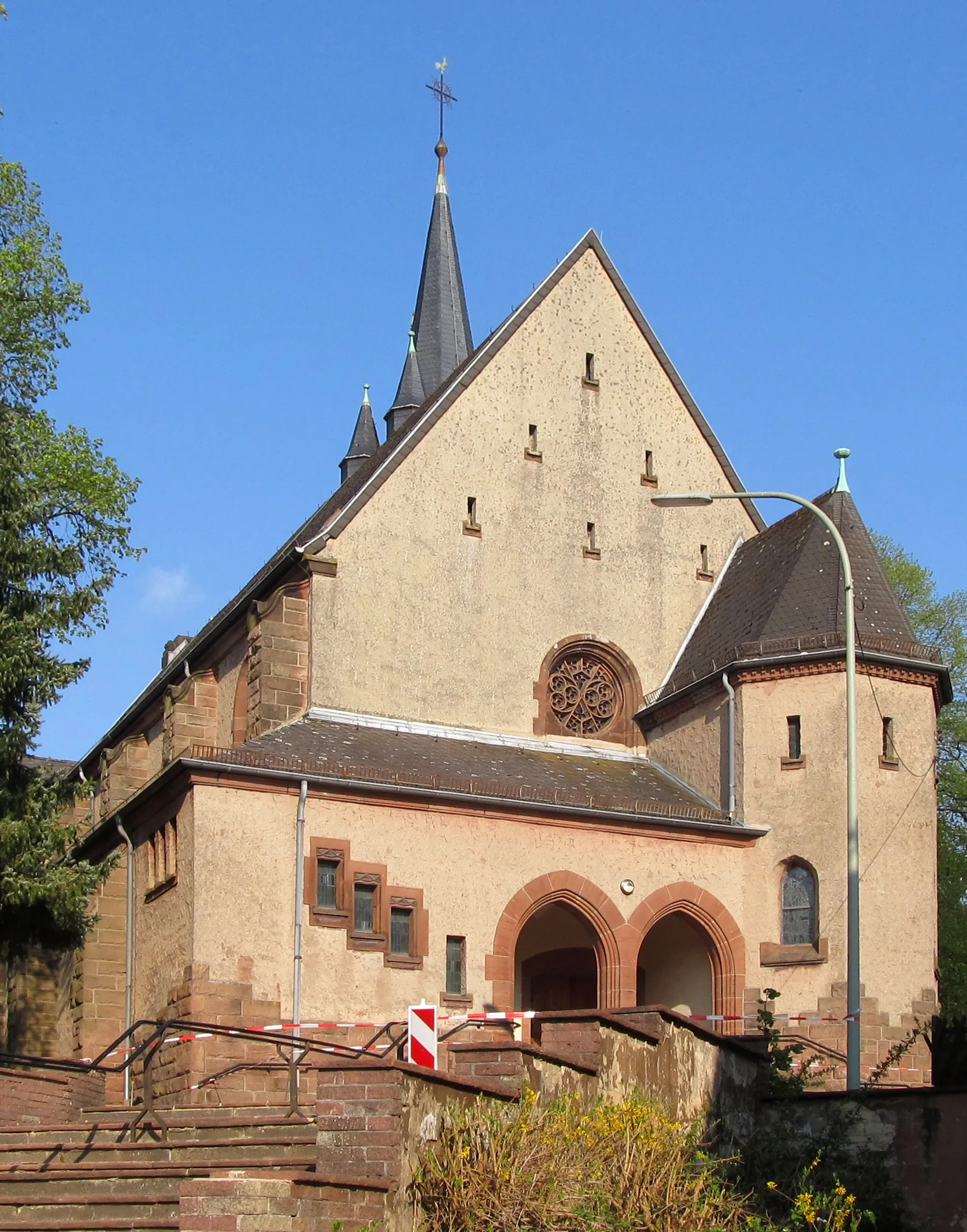
LimbachVillageLimbach is a quaint village with charming traditional houses and a beautiful church.
35 km
35 km
Köpfchen362 mPeakKöpfchen offers a challenging climb and rewards cyclists with stunning views from the top.
47 km
47 km
WaldweilerVillageWaldweiler is a peaceful village surrounded by scenic nature.
59 km
59 km
Rösterkopf709 mPeakRösterkopf is a unique rock formation with a fascinating geological history.
62 km
62 km
ReinsfeldVillageReinsfeld is a small town with a rich history and well-preserved architecture.
69 km
69 km
HermeskeilTownHermeskeil is home to an interesting aviation museum and a historic railway station.
87 km
87 km
Eckersberg504 mPeakEckersberg is a popular spot for its panoramic view of the surrounding landscape.
97 km
97 km
Schaumberg568 mPeakSchaumberg offers a challenging climb and rewards cyclists with breathtaking views from the top.
98 km
98 km
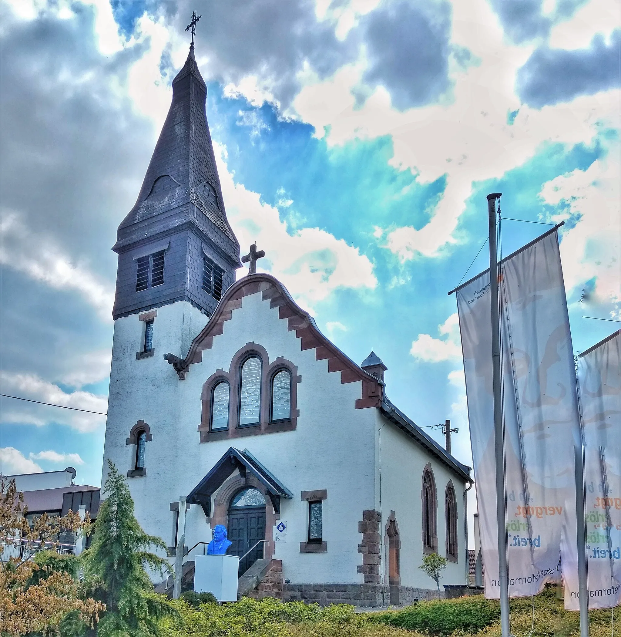
TholeyVillageTholey is known for its impressive abbey and picturesque village center.
102 km
102 km
Finish: Marpingen Village centerMarpingen: Tranquil cycling haven in Saarland, Germany
Cycling routes from Marpingen:
Mainzweiler - Strietberg - Neunkirchen (Saar) - Steigberg - Kallenberg - Merchweiler - Marpingen Marpingen - Mountain Views and Historic Sites Woods and Hills Marpingen - Natural Landmark Kugelbaum Bastberg - Dirmingen - Heusweiler - Nagelsberg - Saarwellingen - Steinberg - Niedersaubach - Donnerhübel - Schaumberg - Benediktinerabtei St. Mauritius Steinberg - Limbach - Schloss Münchweiler - Schallenberg - Die Römerburg - Wadrill - Preußenkopf - Schaumberg - Tholey Marpingen - Gravel Adventure Remmesweiler - Spiemont - Gorrenberg - Homburg - Kirkel - Steigberg - Schiffweiler - Hammersberg Weinhausköpfchen - Hofeld-Mauschbach - Heidenberg - Baumholder - Hohenestel - Remigiusberg - Schloßberg - Altenkirchen - Ottweiler - Hammersberg Marpingen - Scenic Countryside Views Marpingen Loop
Cycling routes nearby: