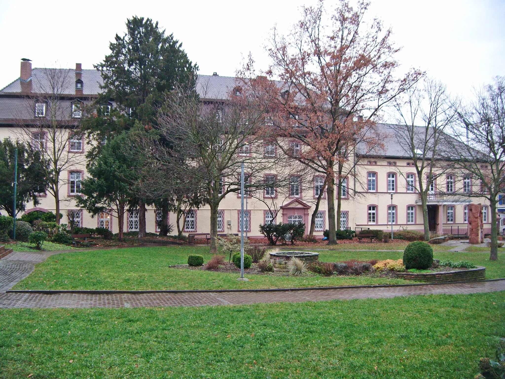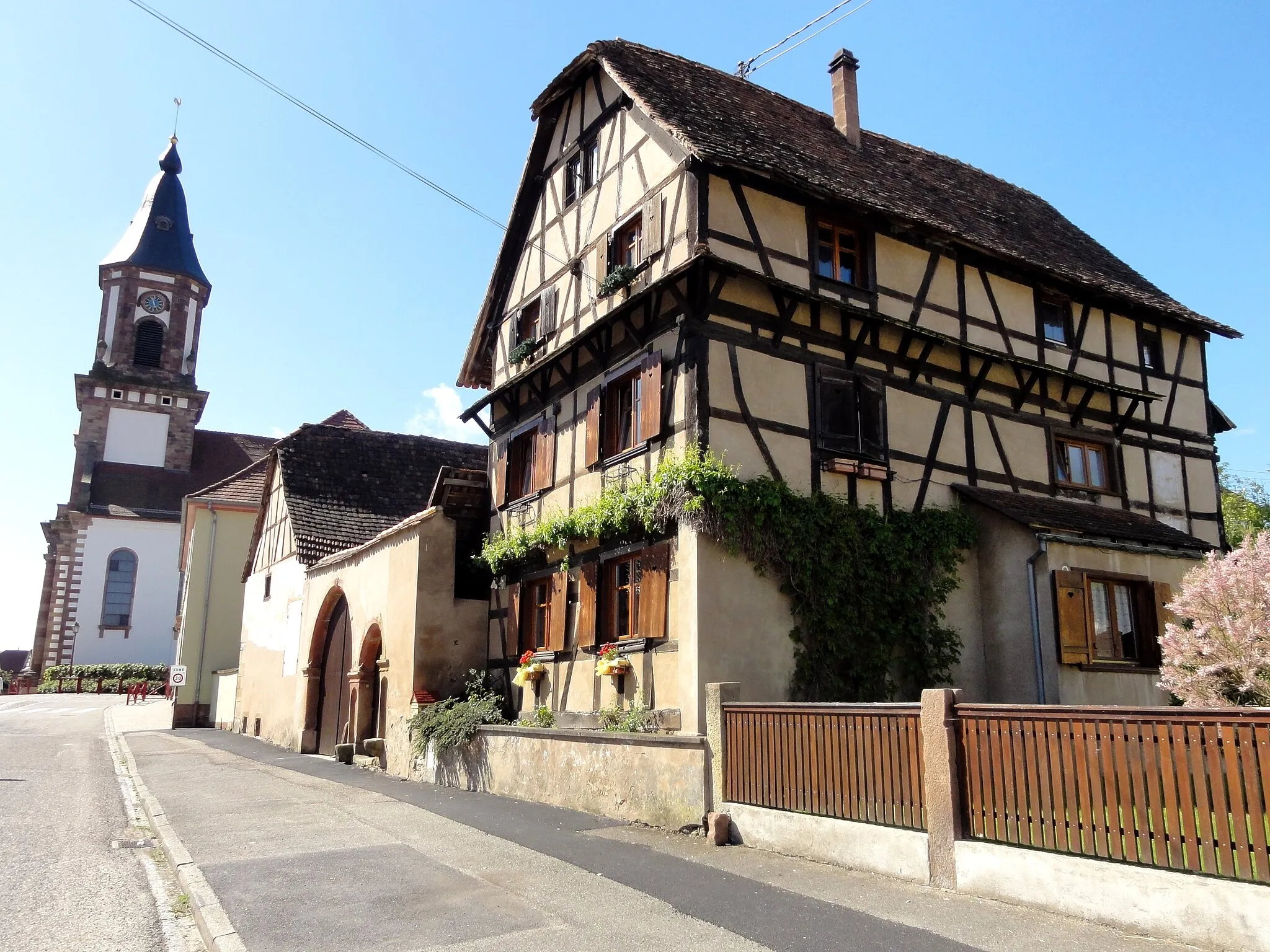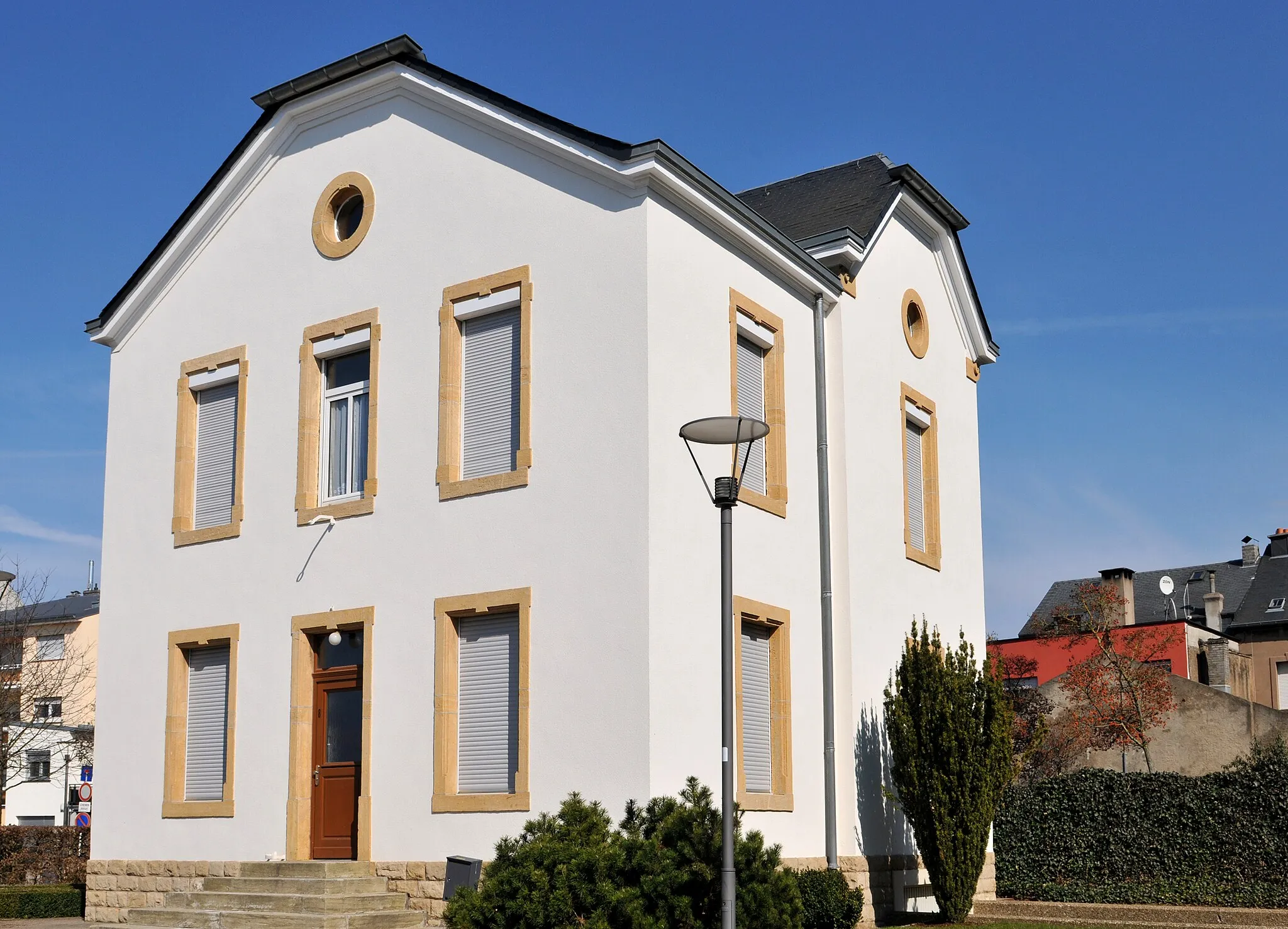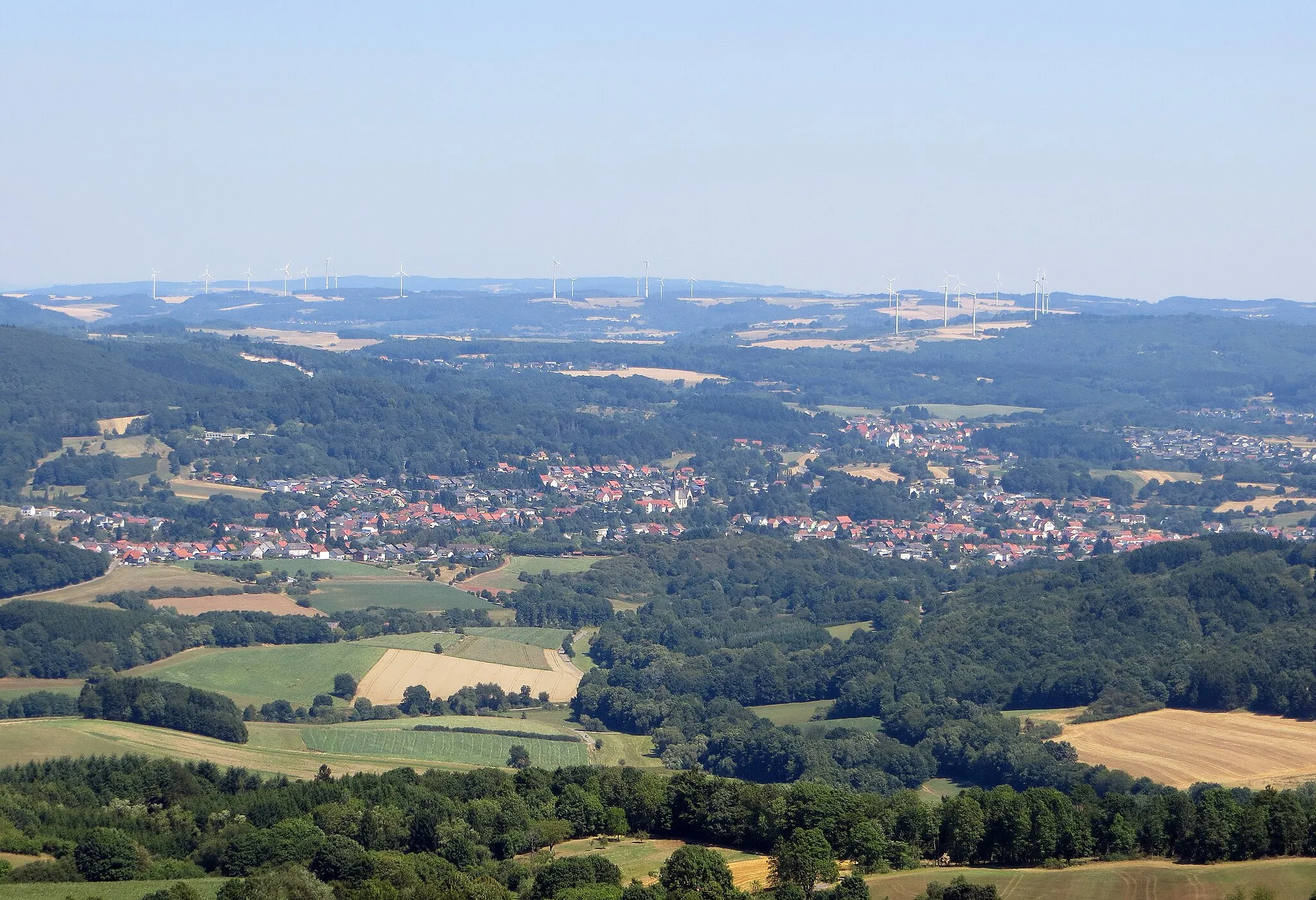
Exploring the scenic roads of Oberthal in Saarland.
Cycling routes from Oberthal
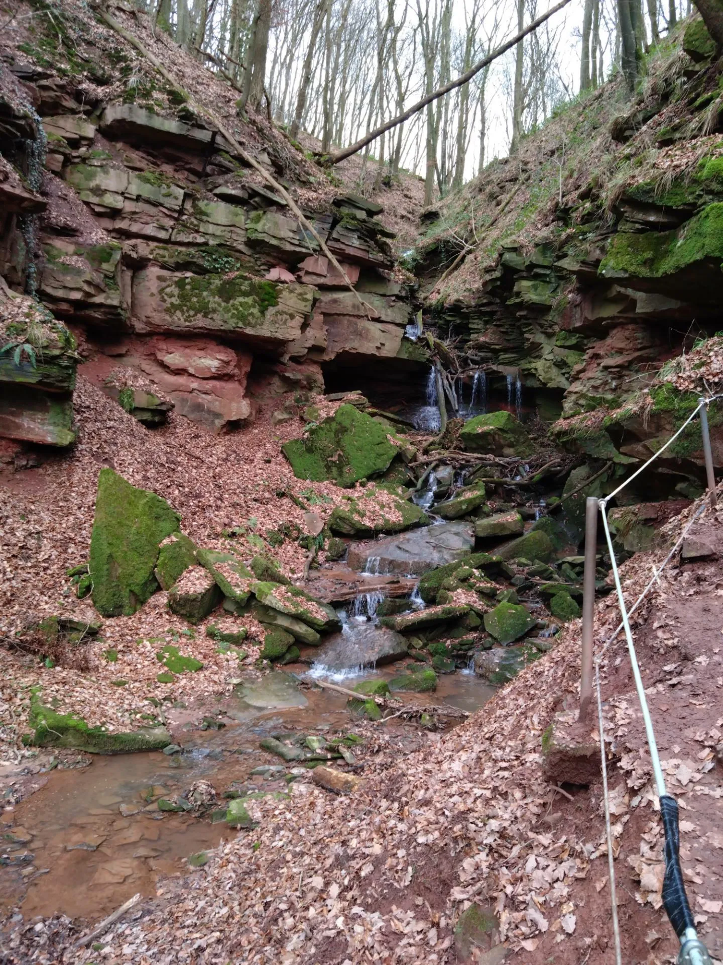
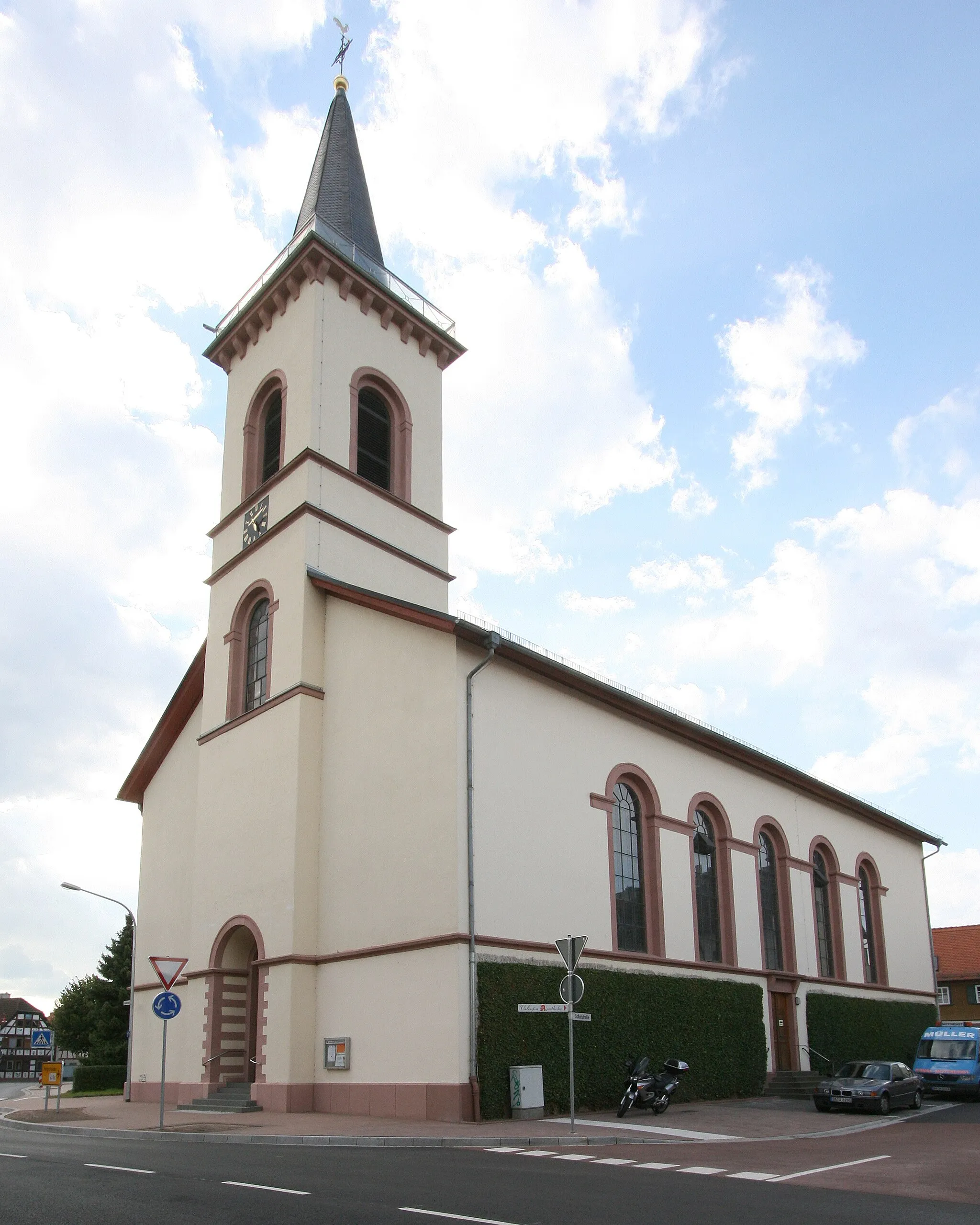
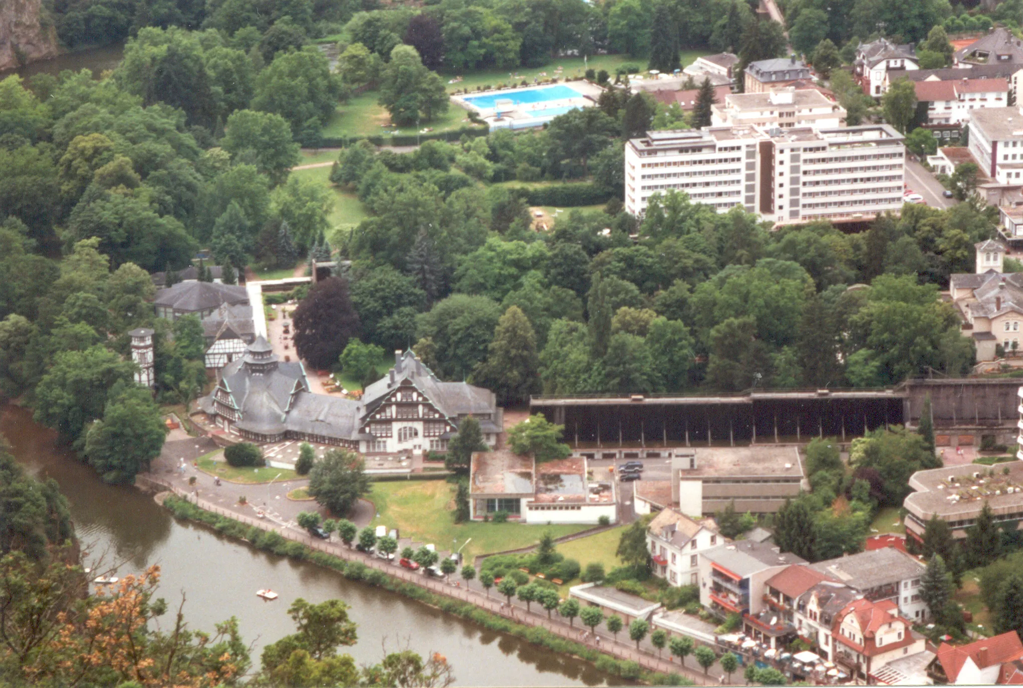
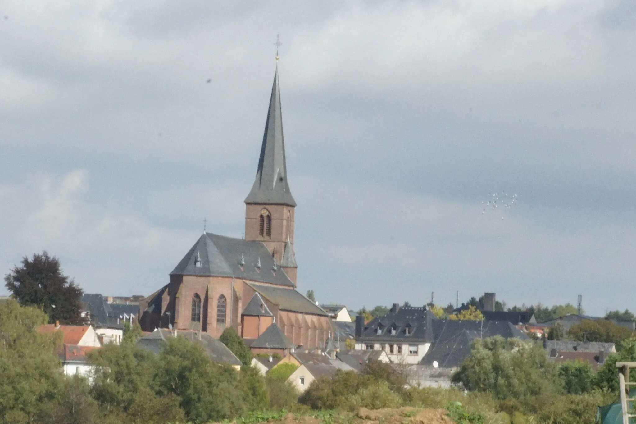
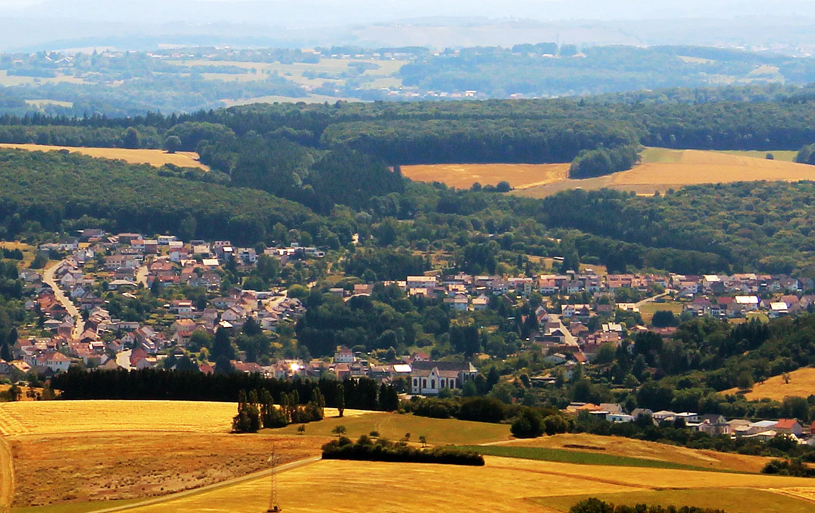
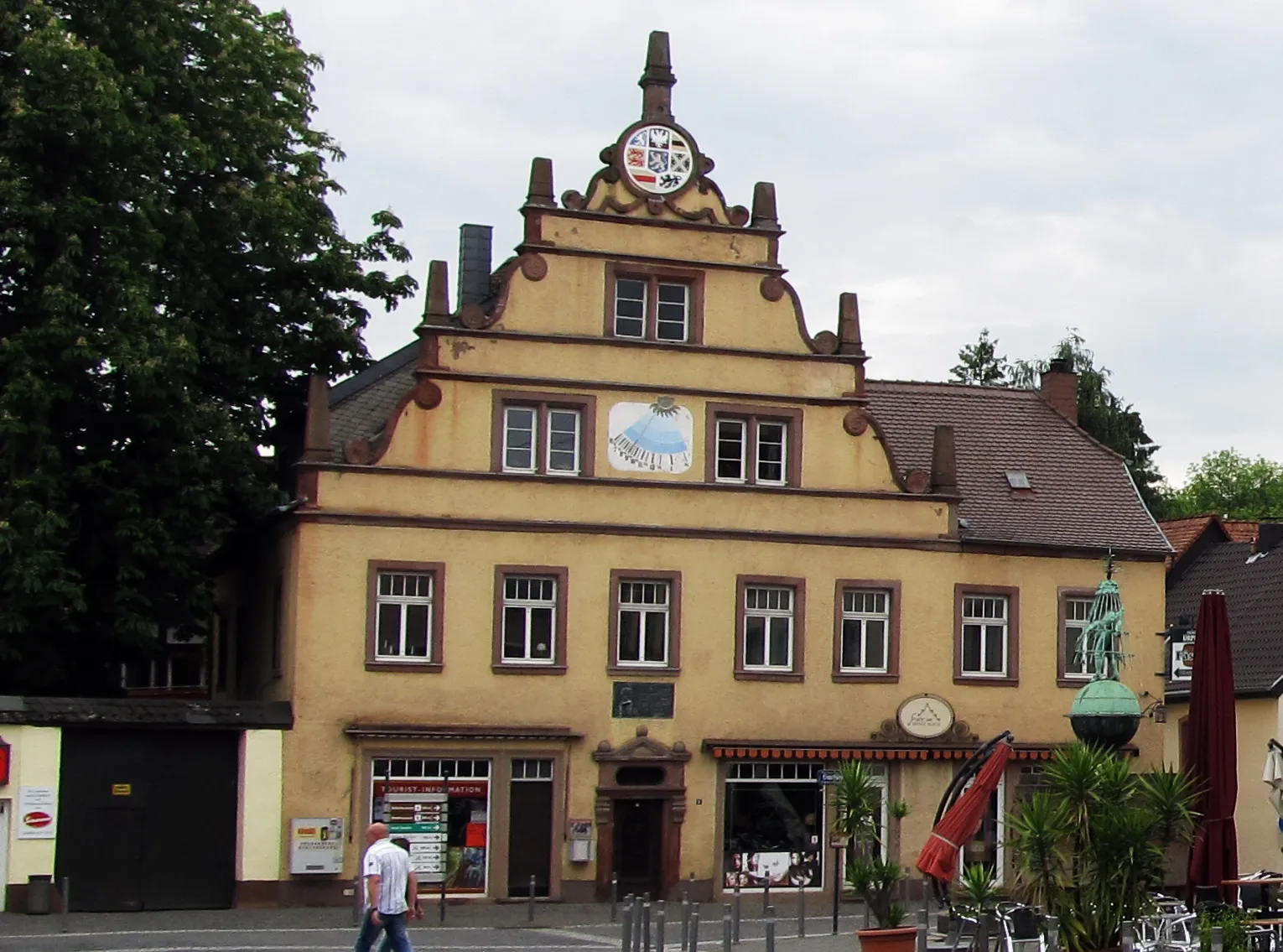
Oberthal is a small town located in the Saarland region of Germany. As a road and gravel cyclist, you will find some nice routes through the picturesque countryside surrounding the town. The roads are generally well-maintained and there are few challenging climbs to test your skills. One notable cycling spot in the area is the Hirschthal climb, a short but steep ascent that offers beautiful views from the top. Overall, Oberthal is a decent place to explore on two wheels, but it doesn't offer any world-famous cycling attractions or legendary climbs.
The Serene Escape
Experience serenity and natural beauty on this picturesque road cycling route near Oberthal
Unwind and soak in the serene beauty of Saarland's countryside on this 81-kilometer road cycling route. With an ascent of 1381 meters, this route provides a moderate challenge while offering captivating vistas and tranquil surroundings. Discover hidden gems, quaint villages, and peaceful nature spots along the way.
Embark on a scenic road trip through Saarland's captivating landscapes
Discover the stunning natural beauty of Oberthal and its surrounds on this 125-kilometer road cycling route. With an ascent of 1529 meters, this route will challenge even experienced cyclists. Enjoy picturesque views, charming villages, and iconic landmarks along the way.
The Gravel Adventure
Explore the scenic landscapes and historic landmarks along this gravel cycling route.
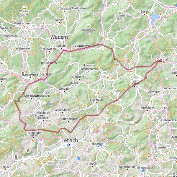
Embark on a memorable gravel adventure through Oberthal in Saarland, Germany. This 60-kilometer route takes you through picturesque landscapes, charming villages, and iconic attractions. With a total ascent of 853 meters, you'll experience a mix of challenging climbs and rewarding descents. Suitable for well-trained amateurs, this route offers a thrilling cycling experience in the heart of nature.
Traversing Gravel Trails
Experience the thrill of gravel riding, tackling challenging terrains and discovering hidden gems.
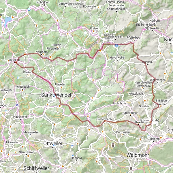
This 67-kilometer gravel route will take you through diverse landscapes and challenging terrains. With a total ascent of 1156 meters, this route offers a moderate to challenging experience suitable for gravel enthusiasts. Explore highlights such as Namborn at 4 kilometers, Eiselskist at 12 kilometers, and Bliesen at 62 kilometers.
Road Cycling Delight
Enjoy a scenic road cycling route through the picturesque landscapes of Saarland.
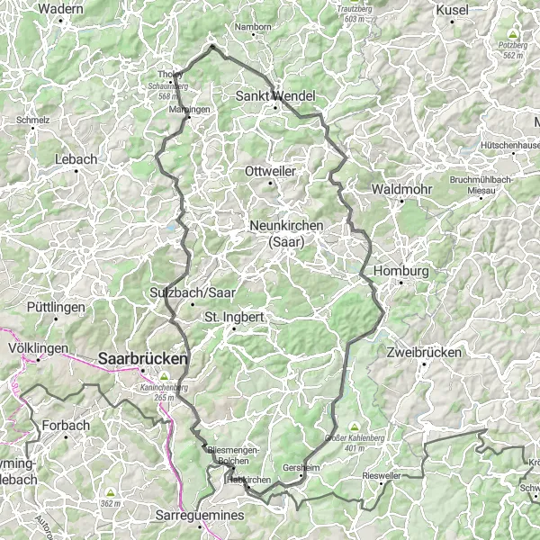
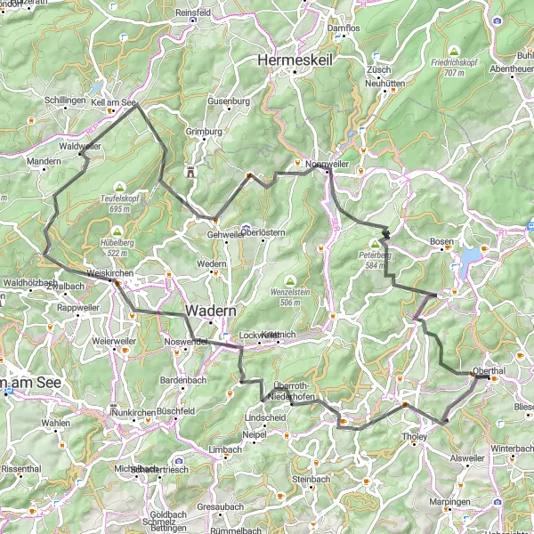
Embark on an 81-kilometer road cycling adventure through some of the most scenic areas of Saarland. With a total ascent of 1568 meters, this route provides a moderate challenge suitable for well-trained amateurs. Explore highlights such as Hasborn-Dautweiler at 10 kilometers, Kell am See at 43 kilometers, and Gronig at 80 kilometers.
Discover the scenic countryside surrounding Oberthal on this delightful road cycling journey
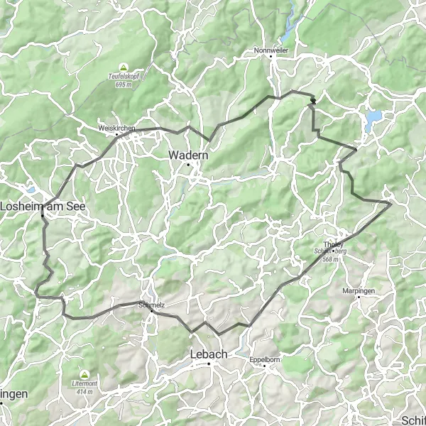
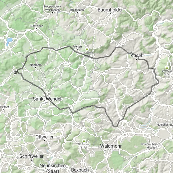
Embark on a 77-kilometer road cycling adventure through the picturesque countryside near Oberthal. With an ascent of 1010 meters, this route offers a moderate challenge to enthusiastic cyclists. Immerse yourself in the tranquility of the countryside, passing through charming villages and enjoying beautiful landscapes.
Embark on an epic gravel adventure, tackling demanding climbs and enjoying scenic landscapes.
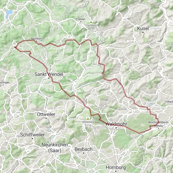
This 81-kilometer gravel route provides a challenging and exhilarating cycling experience. Conquer a total ascent of 1218 meters while exploring highlights such as Namborn at 4 kilometers, Dörrberg at 56 kilometers, and Sankt Wendel at 72 kilometers. Suitable for experienced gravel riders seeking a thrilling ride.

Embark on a thrilling gravel adventure packed with climbs and breathtaking landscapes.
This challenging gravel route promises excitement and rewards for those seeking an adrenaline-filled cycling adventure. With a total ascent of 1841 meters and a distance of 98 kilometers, this route will push your limits. Highlights include the Lanzenberg at 6 kilometers, the Lichtenkopf at 25 kilometers, and the Marpingen at 89 kilometers.
Embark on an adrenaline-pumping road cycling journey through Oberthal's challenging hills
Get your adrenaline pumping on this 85-kilometer road cycling route that takes you through Oberthal's hilly landscapes. With an ascent of 1409 meters, this route is not for the faint-hearted. Challenge yourself to conquer steep ascents and enjoy the stunning views as you descend. Prepare for a thrilling adventure.
The Namborn Adventure
Conquer the challenging Namborn route through picturesque gravel roads and stunning landscapes.
This route, suitable for gravel bikes, will take you through some of Saarland's most beautiful countryside. With a total ascent of 1095 meters and a distance of 77 kilometers, the Namborn route provides a challenging and adventurous cycling experience. Explore highlights such as the Weiselberg at 13 kilometers, the Neumühler-Berg at 30 kilometers, and the Lanzenberg at 70 kilometers.
Cycling routes nearby:


Nearby regions: