The Gravel Adventure
A gravel cycling route starting from Oberthal
Explore the scenic landscapes and historic landmarks along this gravel cycling route.
Map
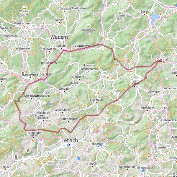
Embark on a memorable gravel adventure through Oberthal in Saarland, Germany. This 60-kilometer route takes you through picturesque landscapes, charming villages, and iconic attractions. With a total ascent of 853 meters, you'll experience a mix of challenging climbs and rewarding descents. Suitable for well-trained amateurs, this route offers a thrilling cycling experience in the heart of nature.
gravel
60 km
853 m
Tough
Route profile
Highlights on the route
0 km
0 km
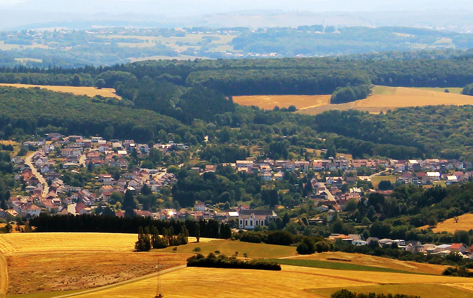
Start: Oberthal Village centerOberthal: Exploring the scenic roads of Oberthal in Saarland.
Oberthal is a small town located in the Saarland region of Germany. As a road and gravel cyclist, you will find some nice routes through the picturesque countryside surrounding the town. The roads are generally well-maintained and there are few challenging climbs to test your skills. One notable cycling spot in the area is the Hirschthal climb, a short but steep ascent that offers beautiful views from the top. Overall, Oberthal is a decent place to explore on two wheels, but it doesn't offer any world-famous cycling attractions or legendary climbs.5 km
5 km
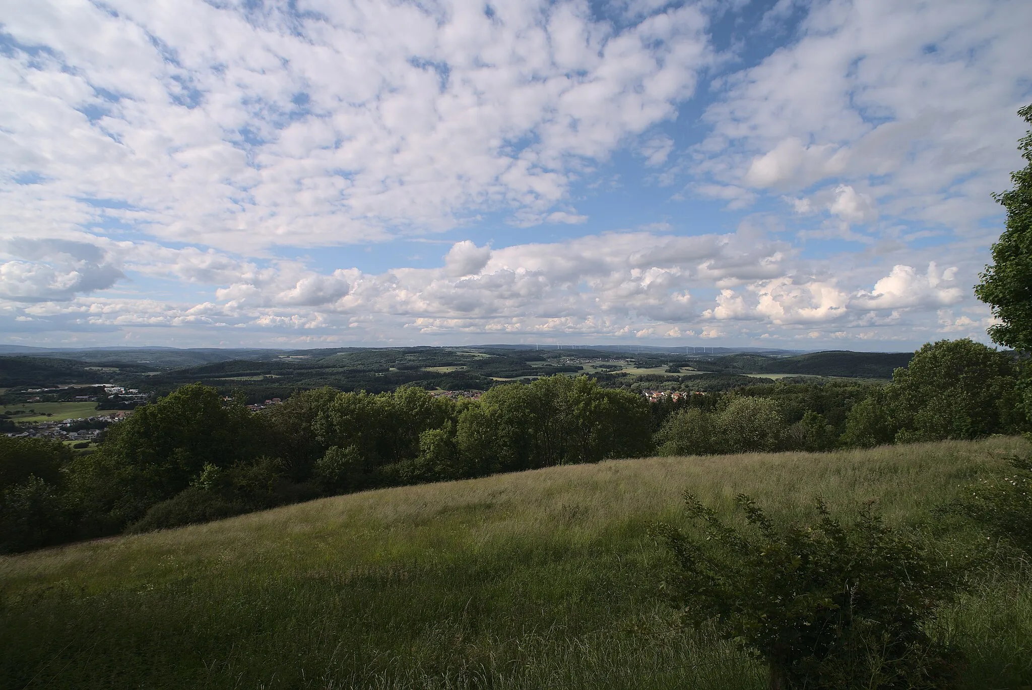
Schaumberg568 mPeakDiscover the stunning Schaumberg, a popular panoramic hill offering breathtaking views of the surrounding landscape.
6 km
6 km
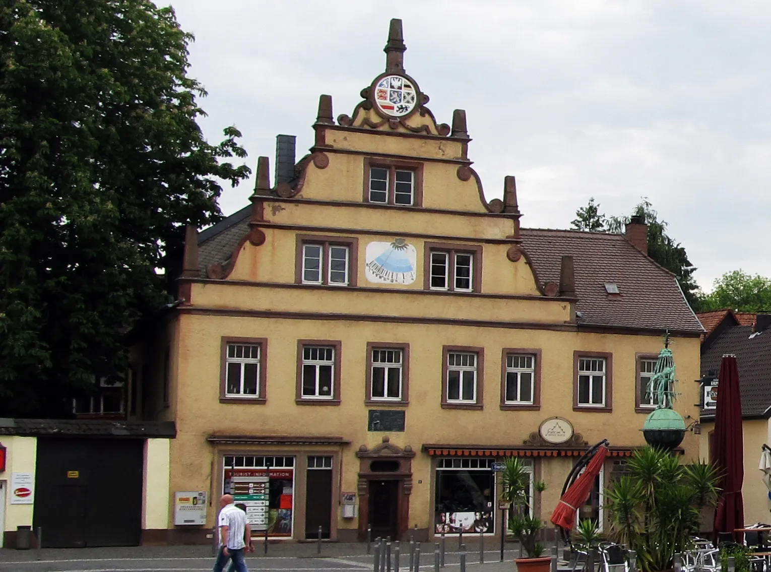
TholeyVillageVisit the historic Tholey Abbey, a majestic Romanesque basilica dating back to the 7th century.
18 km
18 km
NiedersaubachSub-urbPass through Niedersaubach, a quaint village known for its charming half-timbered houses and peaceful atmosphere.
25 km
25 km
Bornberg250 mPeakClimb up the Bornberg, a scenic hill offering panoramic views and an ancient Celtic Viereckschanze.
40 km
40 km
BardenbachVillage ViewpointCycle past Bardenbach, a village with a rich mining history and picturesque landscapes.
43 km
43 km
Schloss DagstuhlCastleStop by Schloss Dagstuhl, a magnificent castle renowned as an international meeting place for computer science researchers.
50 km
50 km
Abelsberg367 mPeakMarvel at the Abelsberg, a natural limestone rock formation that provides a unique backdrop for your cycling adventure.
59 km
59 km
GronigSub-urbExplore Gronig, a picturesque village with charming half-timbered houses, traditional pubs, and idyllic landscapes.
60 km
60 km
Finish: Oberthal Village centerOberthal: Exploring the scenic roads of Oberthal in Saarland.
Cycling routes nearby: