The Namborn Adventure
A gravel cycling route starting from Oberthal
Conquer the challenging Namborn route through picturesque gravel roads and stunning landscapes.
Map
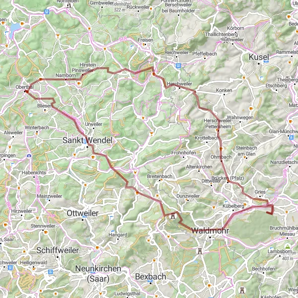
This route, suitable for gravel bikes, will take you through some of Saarland's most beautiful countryside. With a total ascent of 1095 meters and a distance of 77 kilometers, the Namborn route provides a challenging and adventurous cycling experience. Explore highlights such as the Weiselberg at 13 kilometers, the Neumühler-Berg at 30 kilometers, and the Lanzenberg at 70 kilometers.
gravel
77 km
1095 m
Tough
Route profile
Highlights on the route
0 km
0 km
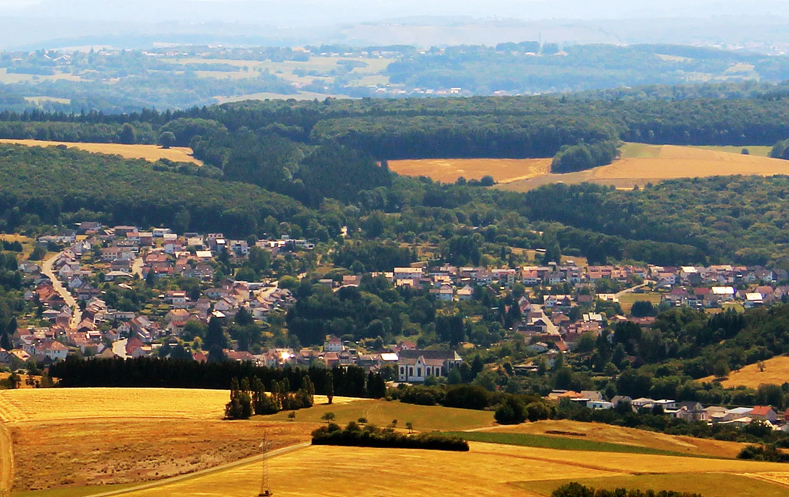
Start: Oberthal Village centerOberthal: Exploring the scenic roads of Oberthal in Saarland.
Oberthal is a small town located in the Saarland region of Germany. As a road and gravel cyclist, you will find some nice routes through the picturesque countryside surrounding the town. The roads are generally well-maintained and there are few challenging climbs to test your skills. One notable cycling spot in the area is the Hirschthal climb, a short but steep ascent that offers beautiful views from the top. Overall, Oberthal is a decent place to explore on two wheels, but it doesn't offer any world-famous cycling attractions or legendary climbs.4 km
4 km
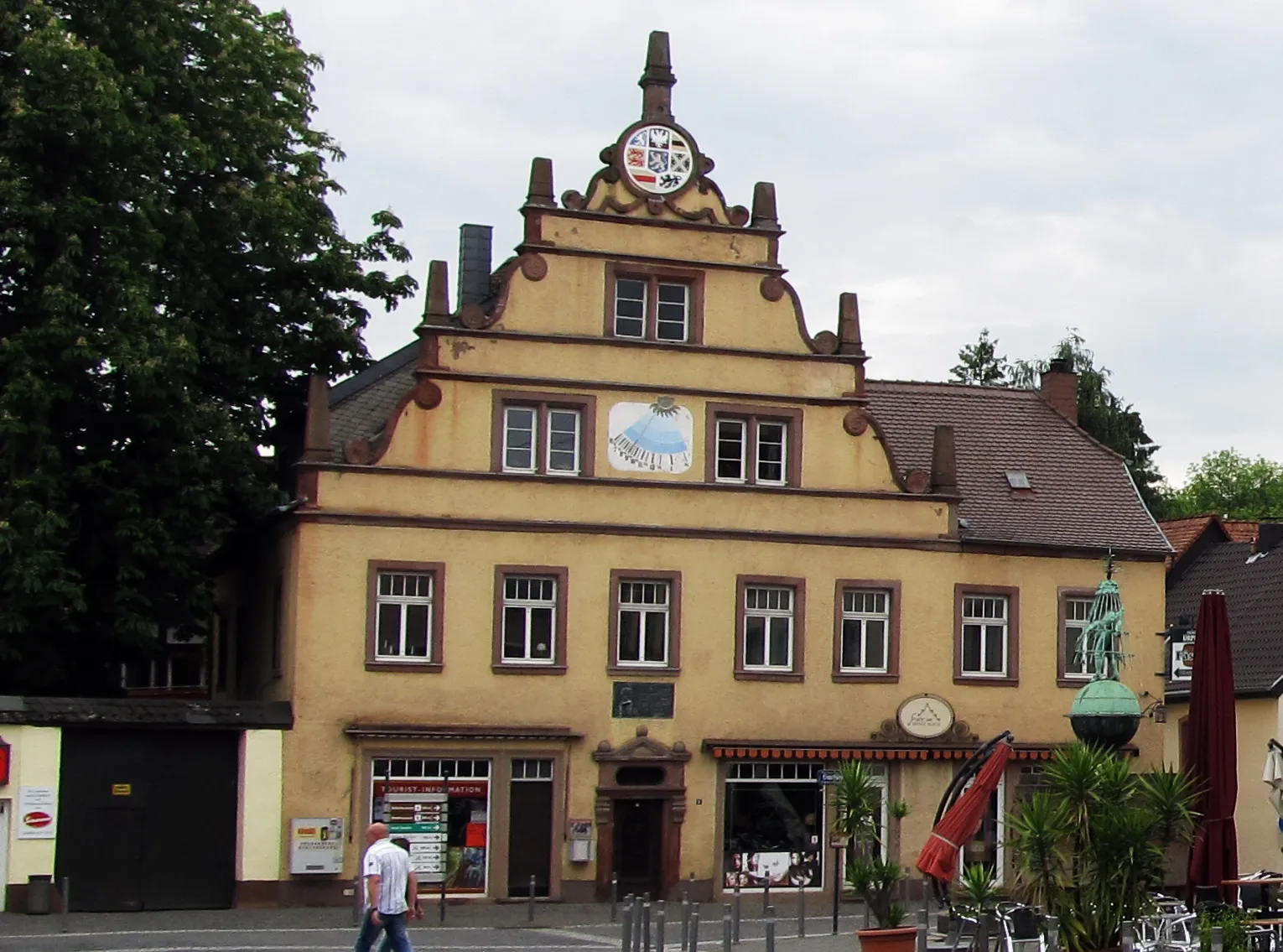
NambornVillageVisit Namborn, a picturesque village known for its historic architecture and charming streets.
13 km
13 km
Weiselberg569 mPeakDiscover the stunning views from the Weiselberg, a hill offering panoramic vistas of the surrounding area.
30 km
30 km
Neumühler-Berg343 mPeakClimb the challenging Neumühler-Berg and enjoy the beautiful landscape at the top.
32 km
32 km
Brücken (Pfalz)VillagePass through Brücken, located in the Pfälzer Straße, an area known for its scenic beauty and picturesque villages.
48 km
48 km
WaldmohrTownCycle through Waldmohr, a village surrounded by lush forests and lovely cycling paths.
55 km
55 km
Höcherberg517 mPeakExperience the Höcherberg, an impressive mountain range characterized by rolling hills and dense forests.
67 km
67 km
Sankt WendelTownVisit Sankt Wendel, a charming town filled with historic buildings, quaint cafes, and beautiful parks.
70 km
70 km
Lanzenberg317 mPeakMarvel at the Lanzenberg, a hill offering breathtaking views of the surrounding countryside.
77 km
77 km
Finish: Oberthal Village centerOberthal: Exploring the scenic roads of Oberthal in Saarland.
Cycling routes nearby: