Thrilling Trails and Stunning Landscapes
A gravel cycling route starting from Oberthal
Embark on a thrilling gravel adventure packed with climbs and breathtaking landscapes.
Map

This challenging gravel route promises excitement and rewards for those seeking an adrenaline-filled cycling adventure. With a total ascent of 1841 meters and a distance of 98 kilometers, this route will push your limits. Highlights include the Lanzenberg at 6 kilometers, the Lichtenkopf at 25 kilometers, and the Marpingen at 89 kilometers.
gravel
98 km
1841 m
Tough
Route profile
Highlights on the route
0 km
0 km
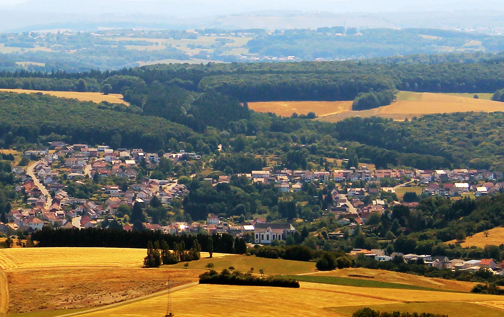
Start: Oberthal Village centerOberthal: Exploring the scenic roads of Oberthal in Saarland.
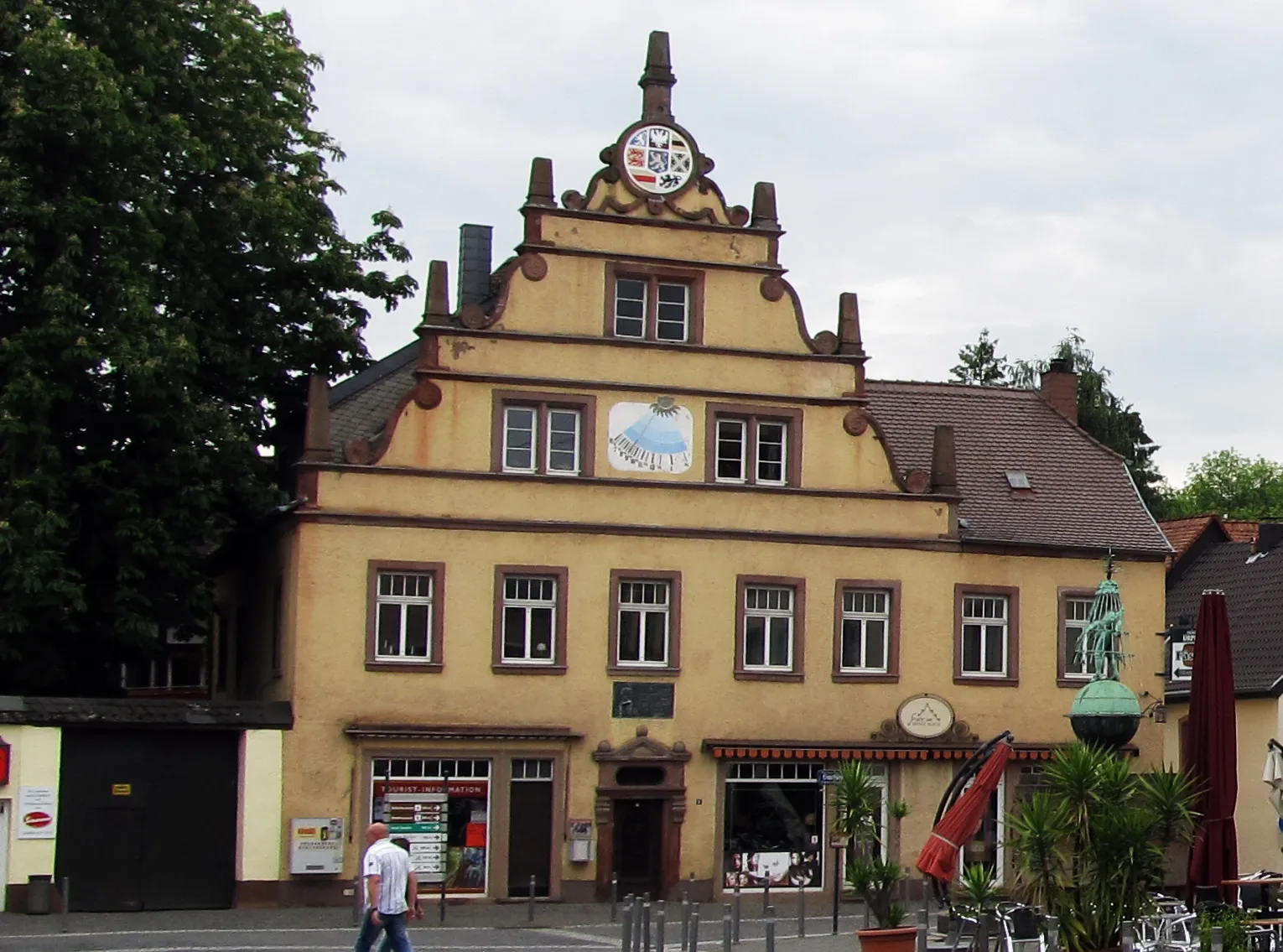
Oberthal is a small town located in the Saarland region of Germany. As a road and gravel cyclist, you will find some nice routes through the picturesque countryside surrounding the town. The roads are generally well-maintained and there are few challenging climbs to test your skills. One notable cycling spot in the area is the Hirschthal climb, a short but steep ascent that offers beautiful views from the top. Overall, Oberthal is a decent place to explore on two wheels, but it doesn't offer any world-famous cycling attractions or legendary climbs.6 km
6 km
Lanzenberg317 mPeakAscend the challenging Lanzenberg, a hill known for demanding uphill sections and rewarding panoramic views.
9 km
9 km
Sankt WendelTownExperience the unique charm of Sankt Wendel, a picturesque town with diverse historical and cultural attractions.
25 km
25 km
Lichtenkopf408 mPeak ViewpointConquer the Lichtenkopf, a peak offering stunning views of the rolling hills and dense forests of Saarland.
29 km
29 km
WellesweilerSub-urbExplore Wellesweiler, a small village known for its quaint streets, friendly locals, and traditional architecture.
50 km
50 km
OberwürzbachVillageTake in the peaceful atmosphere of Oberwürzbach, a charming village surrounded by beautiful nature.
53 km
53 km
Schafkopf390 mPeakGrasp the stunning views from the Schafkopf, a hill famous for panoramic vistas of the Saarland region.
61 km
61 km
Brennender BergAttractionMarvel at the Brennender Berg, a hill known for its mesmerizing landscapes and beautiful hiking trails.
71 km
71 km
Göttelborner Höhe444 mPeakRide the challenging ascent to the Göttelborner Höhe, a monument offering unique views of the surrounding area.
81 km
81 km
Schöne AussichtViewpointTake a break at the Schöne Aussicht, a stunning viewpoint that offers breathtaking panoramas of Saarland.
89 km
89 km
MarpingenVillageVisit Marpingen, a village known for its historical sites, picturesque landscapes, and tranquil atmosphere.
98 km
98 km
Finish: Oberthal Village centerOberthal: Exploring the scenic roads of Oberthal in Saarland.
Cycling routes nearby: