The Hillside Adventure
A road cycling route starting from Oberthal
Embark on an adrenaline-pumping road cycling journey through Oberthal's challenging hills
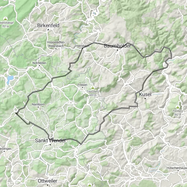
Map
Get your adrenaline pumping on this 85-kilometer road cycling route that takes you through Oberthal's hilly landscapes. With an ascent of 1409 meters, this route is not for the faint-hearted. Challenge yourself to conquer steep ascents and enjoy the stunning views as you descend. Prepare for a thrilling adventure.
road
85 km
1409 m
Savage
Route profile
Highlights on the route
0 km
0 km
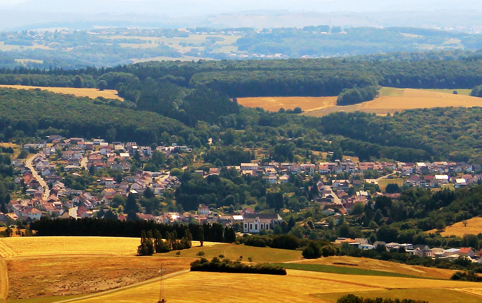
Start: Oberthal Village centerOberthal: Exploring the scenic roads of Oberthal in Saarland.
Oberthal is a small town located in the Saarland region of Germany. As a road and gravel cyclist, you will find some nice routes through the picturesque countryside surrounding the town. The roads are generally well-maintained and there are few challenging climbs to test your skills. One notable cycling spot in the area is the Hirschthal climb, a short but steep ascent that offers beautiful views from the top. Overall, Oberthal is a decent place to explore on two wheels, but it doesn't offer any world-famous cycling attractions or legendary climbs.15 km
15 km
Stöbel525 mPeakPass through the picturesque village of Stöbel and enjoy its charming traditional houses and tranquil atmosphere.
37 km
37 km
Windfang413 mPeakCycle through Windfang and appreciate the beauty of this quiet village nestled in the picturesque Saarland countryside.
40 km
40 km
NiederalbenVillageVisit Niederalben and discover its idyllic setting surrounded by rolling hills and green meadows.
61 km
61 km
Kahlenberg455 mPeakMarvel at the magnificent landscapes from Kahlenberg, a hill offering breathtaking panoramic views of the region.
73 km
73 km
Bosenberg485 mPeakExplore Bosenberg and its impressive castle ruins, dating back to the 12th century, perched on top of a hill.
76 km
76 km
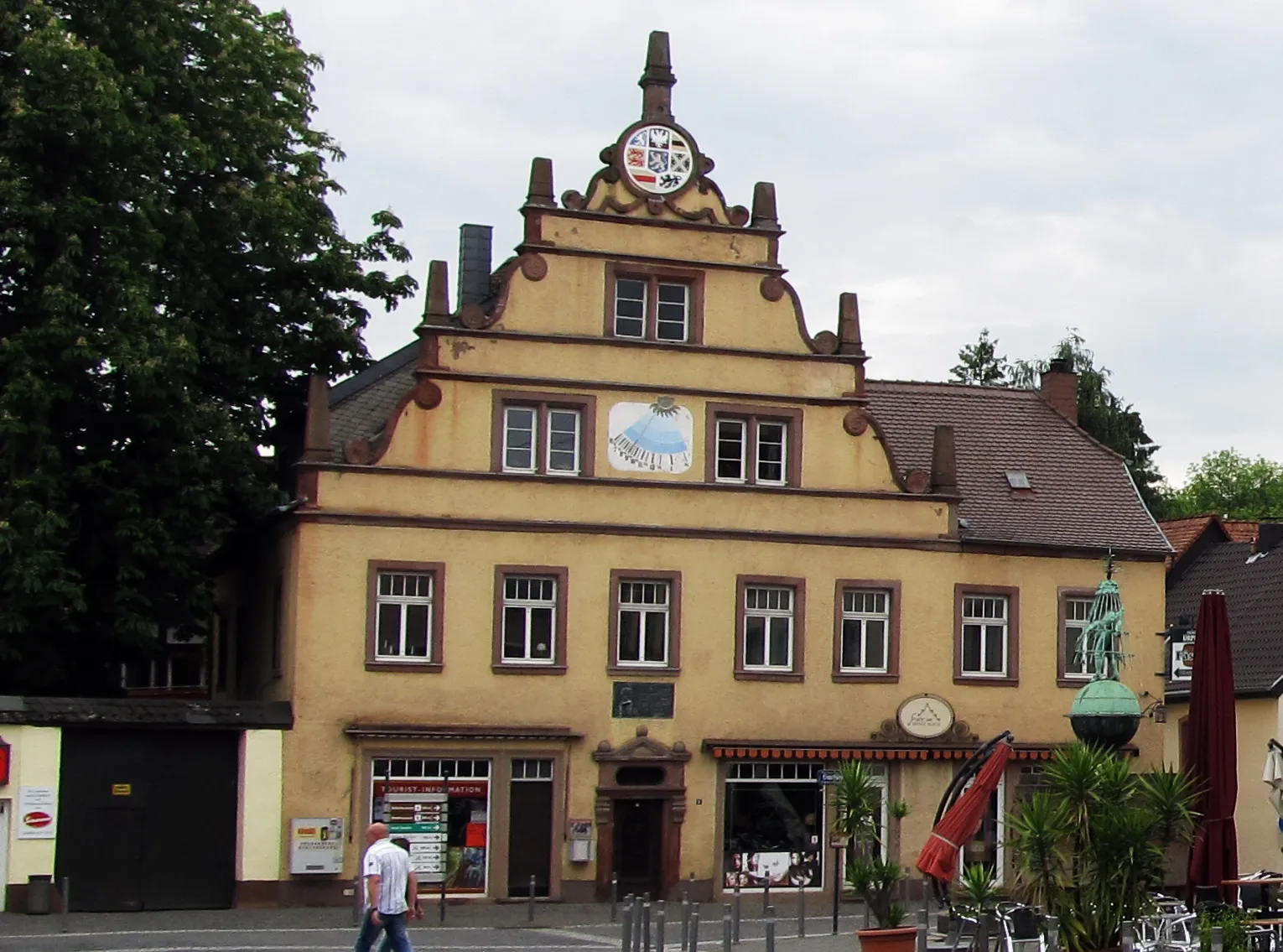
Sankt WendelTownVisit Sankt Wendel, a vibrant town boasting a rich history and a well-preserved medieval city center.
85 km
85 km
Finish: Oberthal Village centerOberthal: Exploring the scenic roads of Oberthal in Saarland.
Cycling routes nearby: