Wilderness Expedition
A gravel cycling route starting from Bad Suderode
Embark on a wilderness expedition exploring the natural wonders of the region
Map
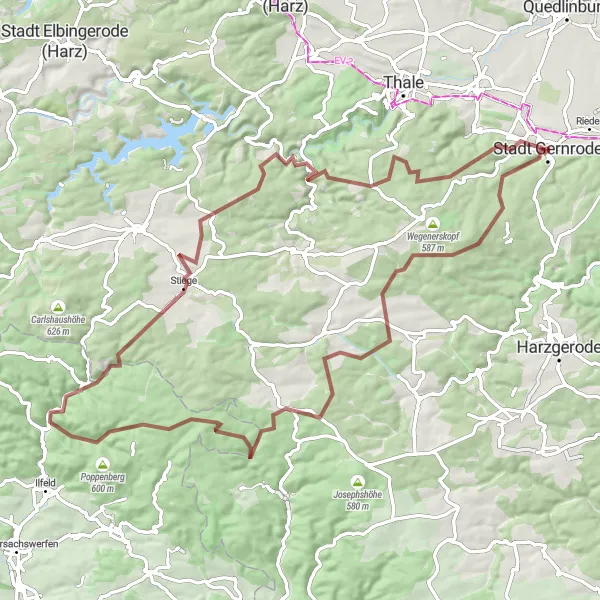
The Wilderness Expedition is a challenging 80-kilometer gravel route that takes you through the rugged and untouched landscapes of the region. With a difficulty rating of 4, this route is recommended for experienced and adventurous cyclists seeking an epic adventure. Along the way, you will encounter breathtaking viewpoints, historic landmarks, and tranquil nature spots. Be prepared for steep ascents, thrilling descents, and a true test of your outdoor skills.
gravel
80 km
1597 m
Tough
Route profile
Highlights on the route
0 km
0 km
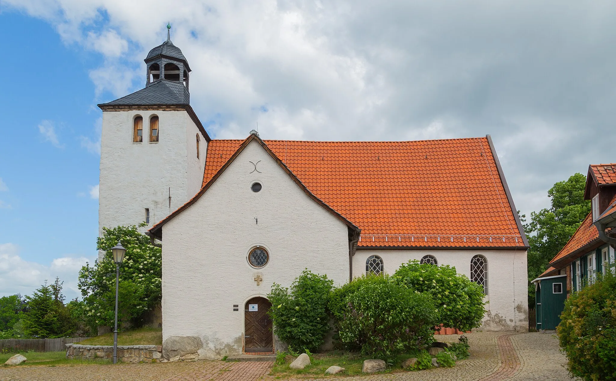
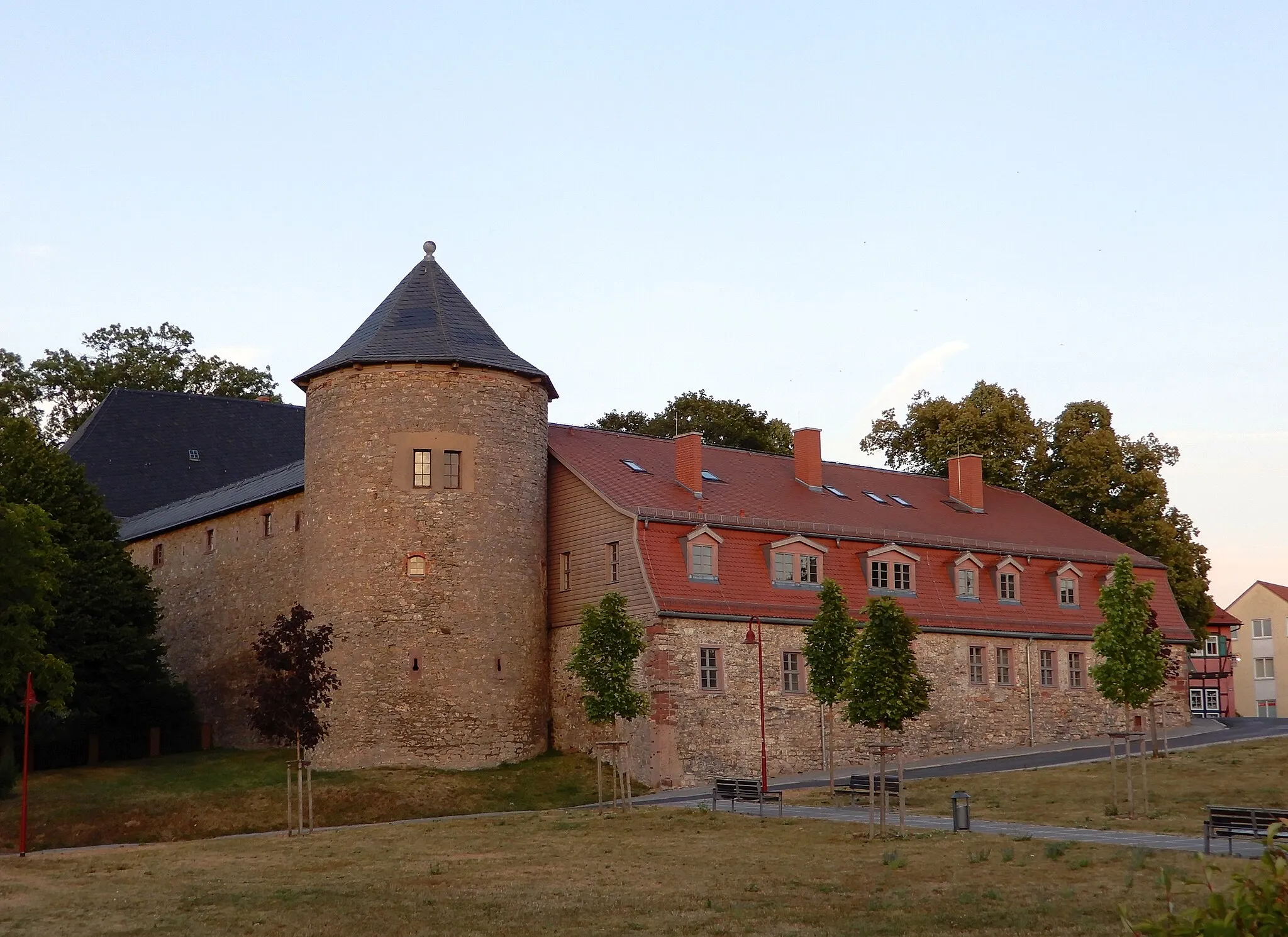
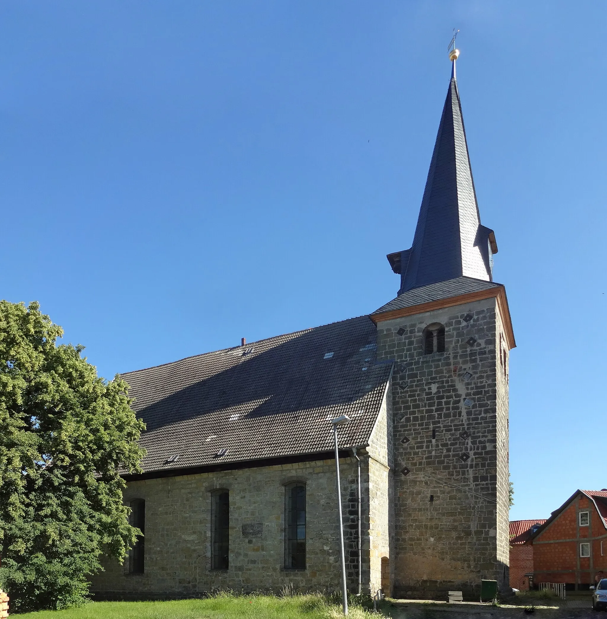
Start: Stadt Gernrode City centerBad Suderode: Discover scenic cycling routes in charming Bad Suderode, Germany.
Bad Suderode, located in Sachsen-Anhalt, Germany, is a charming town that offers great cycling opportunities. The region features scenic landscapes, rolling hills, and well-marked cycling routes. You can explore picturesque paths that take you through forests and vineyards, enjoying the beauty of nature. Bad Suderode is also close to the impressive Harz Mountains, home to several famous climbs and stunning vistas. Whether you're a leisure cyclist or an experienced rider, Bad Suderode has something to offer.7 km
7 km
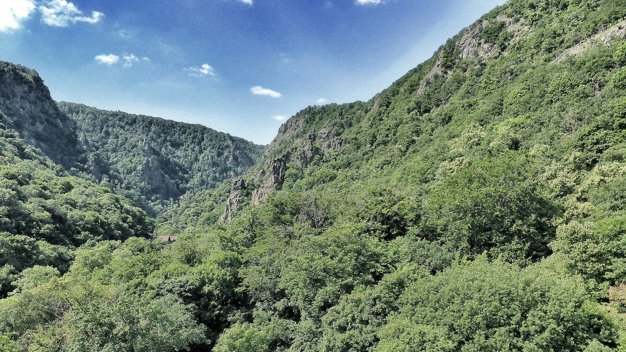
Viktorshöhe581 mPeakViktorshöhe, located at 7 kilometers, offers stunning panoramic views over the surrounding wilderness, rewarding you for the initial climb.
16 km
16 km
Selketal KöteShelterAt the 16-kilometer mark, make a stop at Selketal Köte, a mountain lodge nestled in a picturesque valley.
39 km
39 km
Sandlünz516 mPeakSandlünz, at 39 kilometers, is a hidden gem deep in the wilderness, offering a peaceful spot for a break and enjoying nature's beauty.
39 km
39 km
NetzkaterHamletNetzkater, located at 39 kilometers, is an idyllic rest area with a small creek and breathtaking views.
51 km
51 km
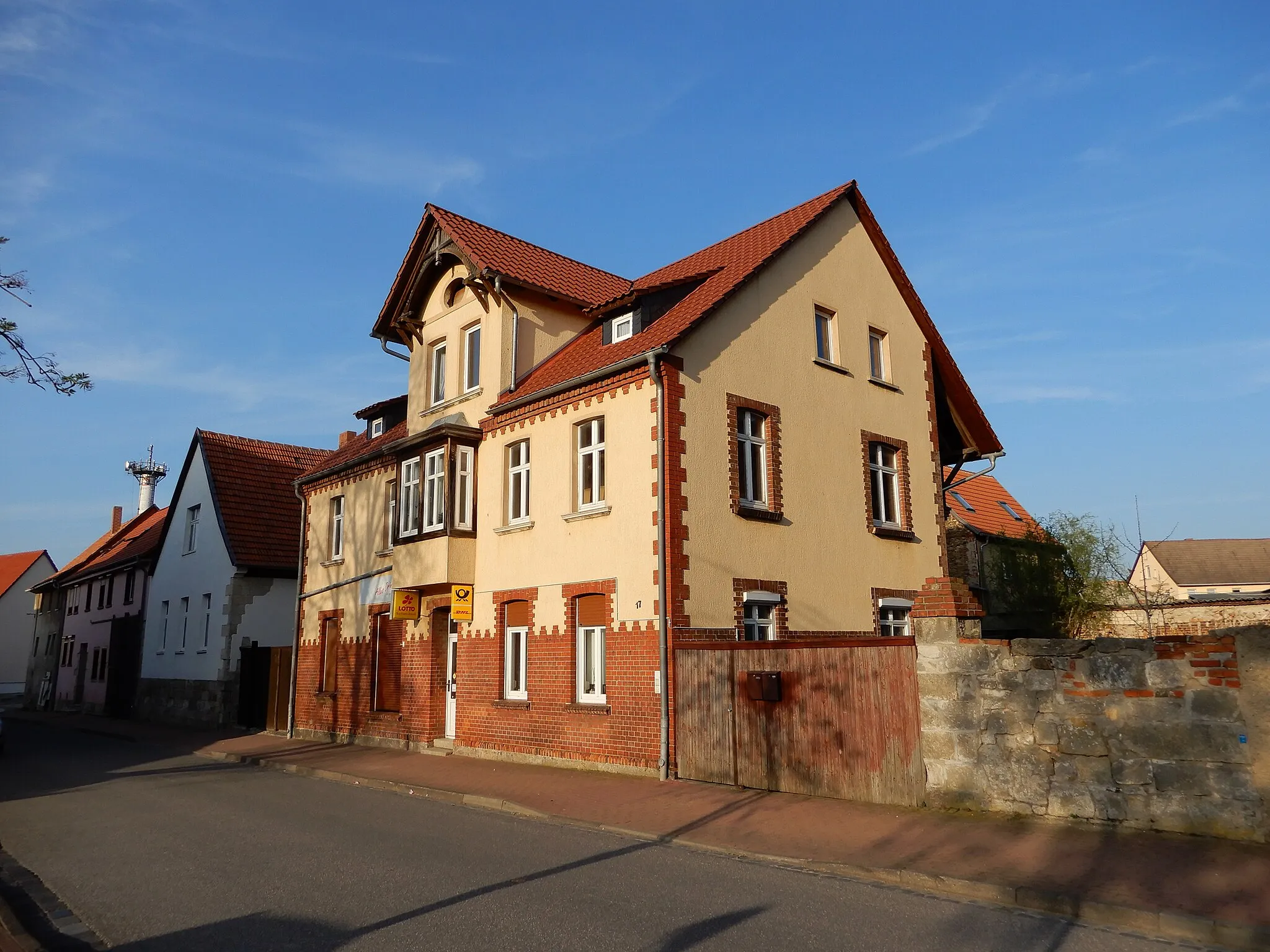
StiegeVillageStiege, at 51 kilometers, greets you with its picturesque charm and a lively atmosphere, perfect for a rest and exploration.
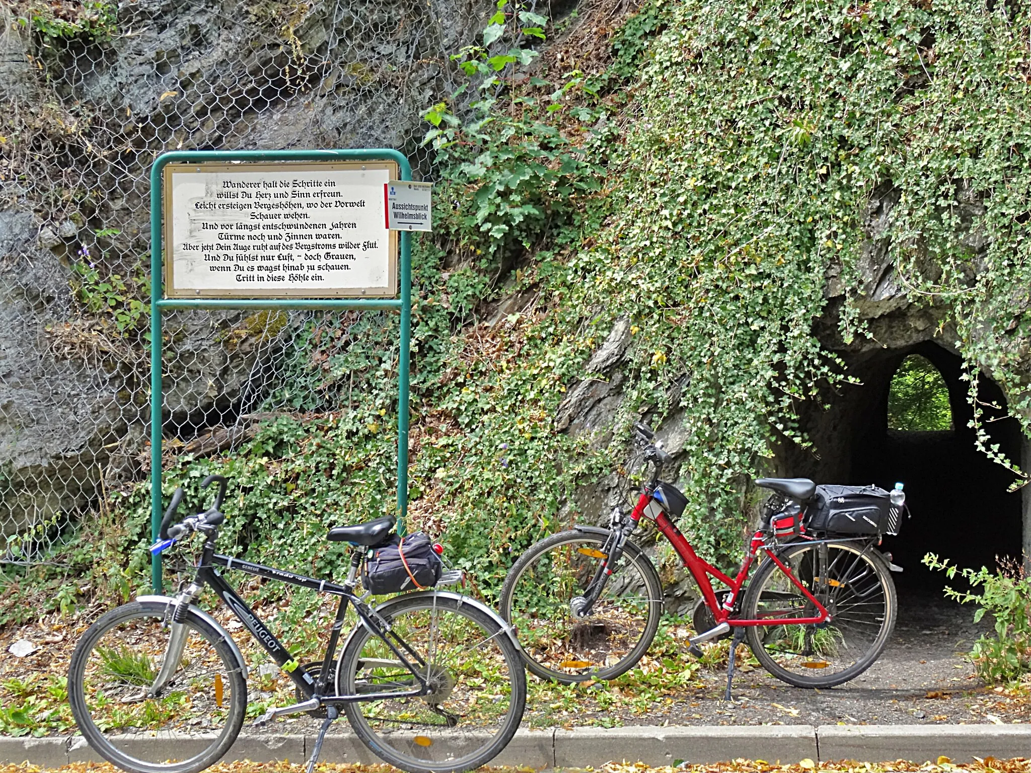
63 km
63 km
WilhelmsblickViewpointAt 63 kilometers, Wilhelmsblick provides a well-deserved break with jaw-dropping vistas over the surrounding landscapes.
78 km
78 km
Olbergshöhe320 mPeak ViewpointVisit Olbergshöhe at 78 kilometers and enjoy the magnificent views of the untouched wilderness and the Harz Mountains.
79 km
79 km
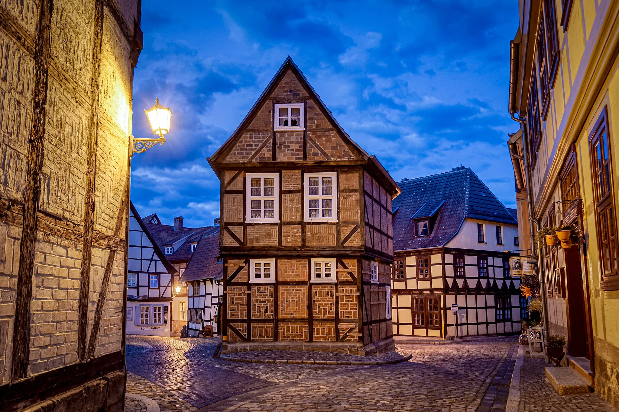
Bad SuderodeVillageFinish your expedition in Bad Suderode at 79 kilometers, a charming spa town nestled in the mountains, offering relaxation and wellness opportunities.
80 km
80 km
Finish: Stadt Gernrode City centerBad Suderode: Discover scenic cycling routes in charming Bad Suderode, Germany.
Cycling routes nearby: