Off-Road Adventure near Droyßig
A gravel cycling route starting from Droyssig
Embark on an exciting gravel riding experience in the countryside
Map
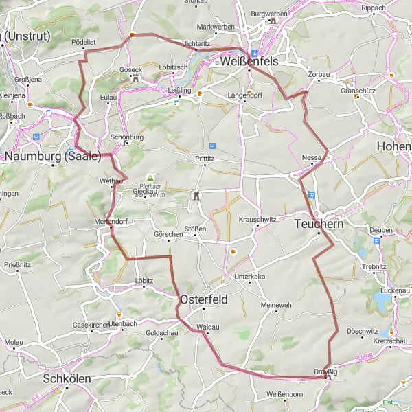
For those seeking an off-road adventure near Droyßig, this gravel round-trip cycling route offers a thrilling ride through scenic rural areas. Suitable for gravel bike enthusiasts, the route covers 67 kilometers with an elevation gain of 534 meters. Experience the rugged beauty of the landscape and enjoy the peacefulness of the countryside.
gravel
67 km
534 m
Chill
Route profile
Highlights on the route
0 km
0 km
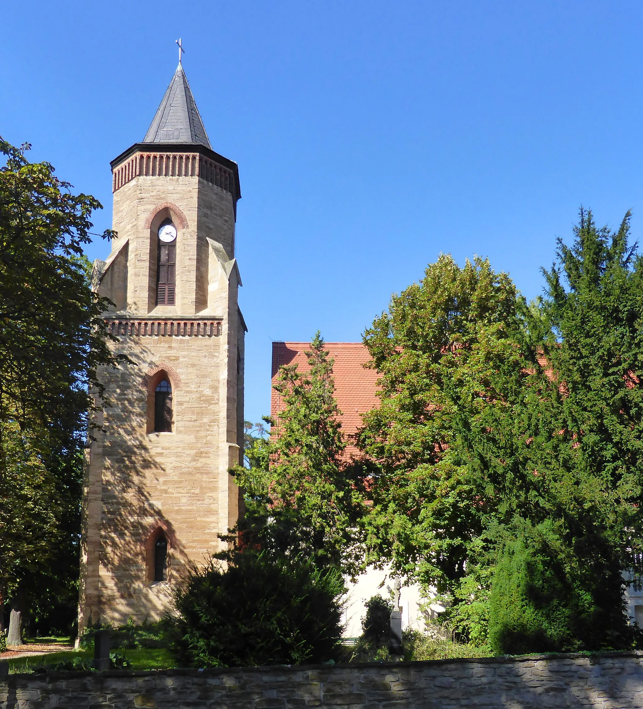
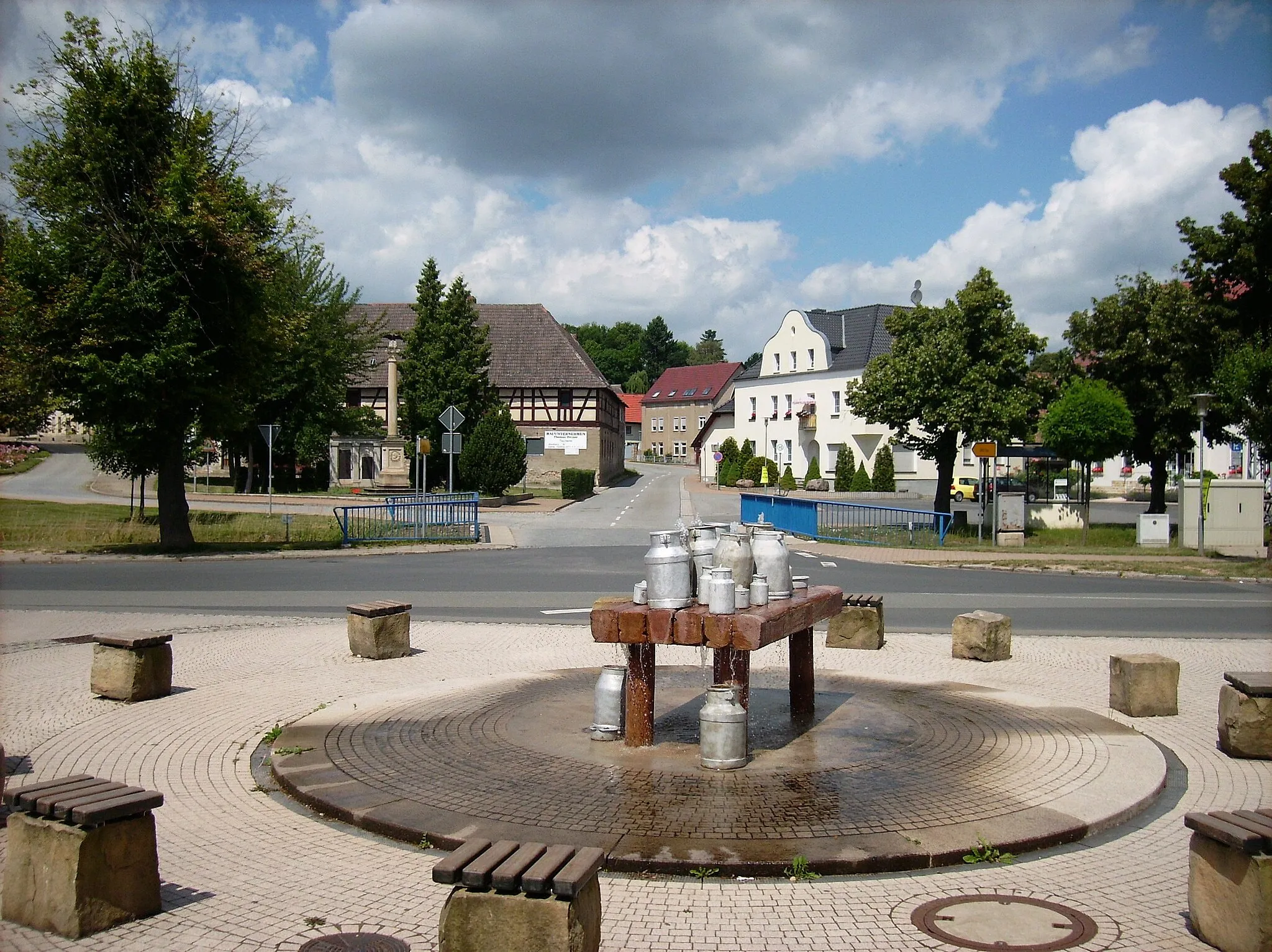
Start: Droyßig Village centerDroyßig: Tranquil rides through Sachsen-Anhalt's countryside.
Droyßig is a locality located in Sachsen-Anhalt, Germany. From a cyclist's perspective, Droyßig offers peaceful cycling routes with scenic countryside views. The area is mostly rural, with quiet roads and idyllic landscapes. The roads are generally in good condition, making it suitable for road and gravel cyclists. Droyßig is also near the Unstrut Cycle Path, which follows the Unstrut River and offers beautiful natural surroundings. Overall, Droyßig provides a tranquil cycling experience for those seeking to connect with nature and enjoy quiet rides.13 km
13 km
GörschenVillageGörschen: Discover the charming village surrounded by rolling hills and picturesque landscapes. Make sure to stop by the local bakery to try traditional German pastries.
27 km
27 km
LuisenhöheViewpointLuisenhöhe: Climb to the top of Luisenhöhe, a hill offering breathtaking panoramic views of the surrounding countryside. A perfect spot for a scenic picnic.
32 km
32 km
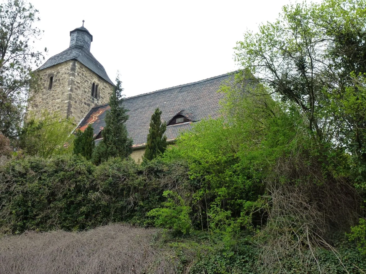
PödelistVillagePödelist: Pass through this tranquil hamlet located amidst fields and meadows. Admire the traditional half-timbered houses and enjoy the peaceful atmosphere.
43 km
43 km
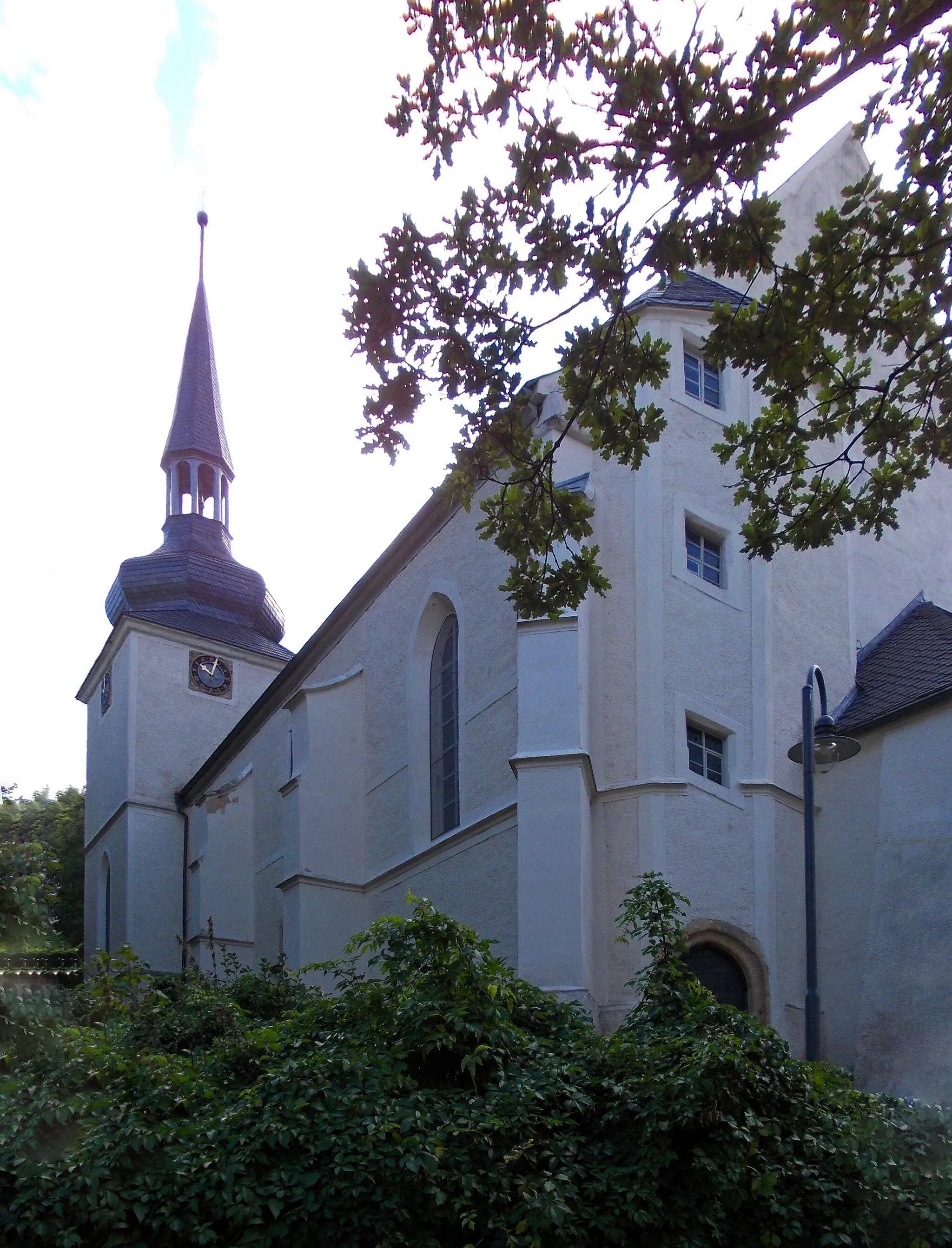
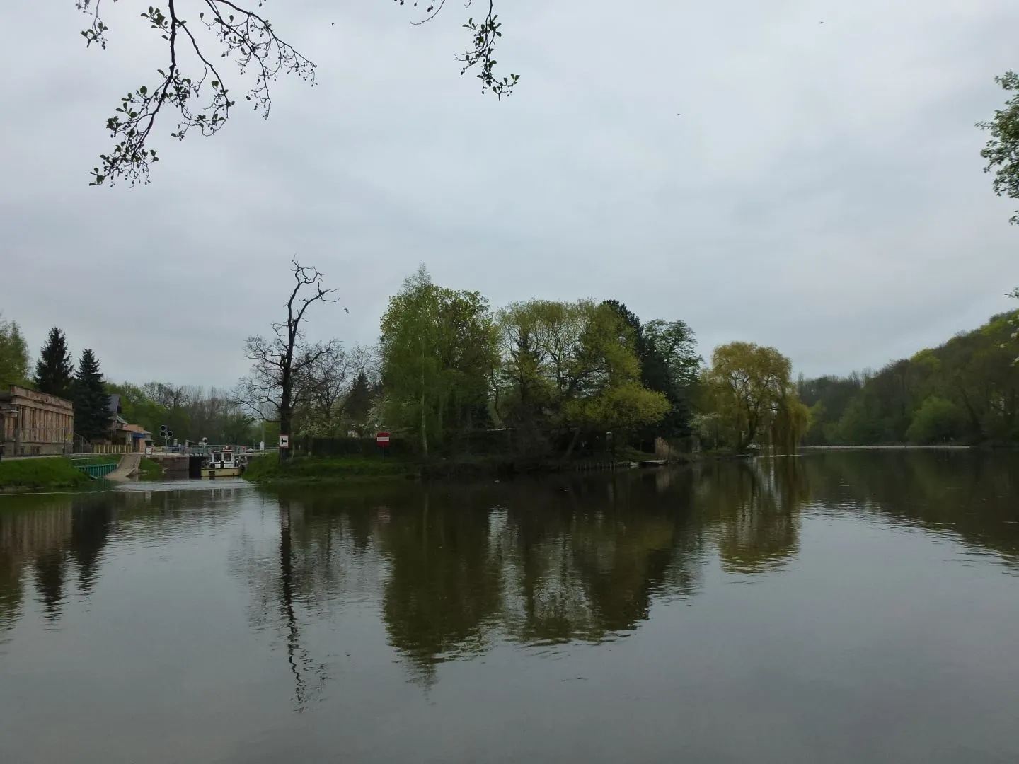
WeißenfelsTownWeißenfels: Explore the historic town of Weißenfels and visit the impressive Renaissance-style castle. Don't miss the opportunity to stroll along the beautiful Saale River promenade.
57 km
57 km
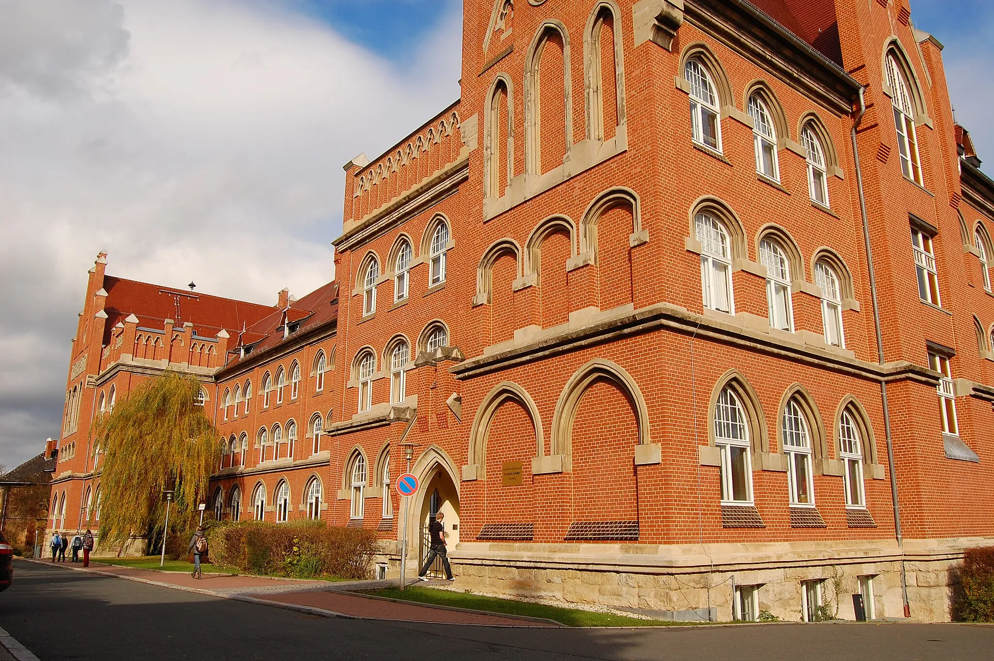
TeuchernTownTeuchern: Take a break in Teuchern and discover the charming market square with its colorfully decorated half-timbered houses. Indulge in some local cuisine at one of the traditional restaurants.
67 km
67 km
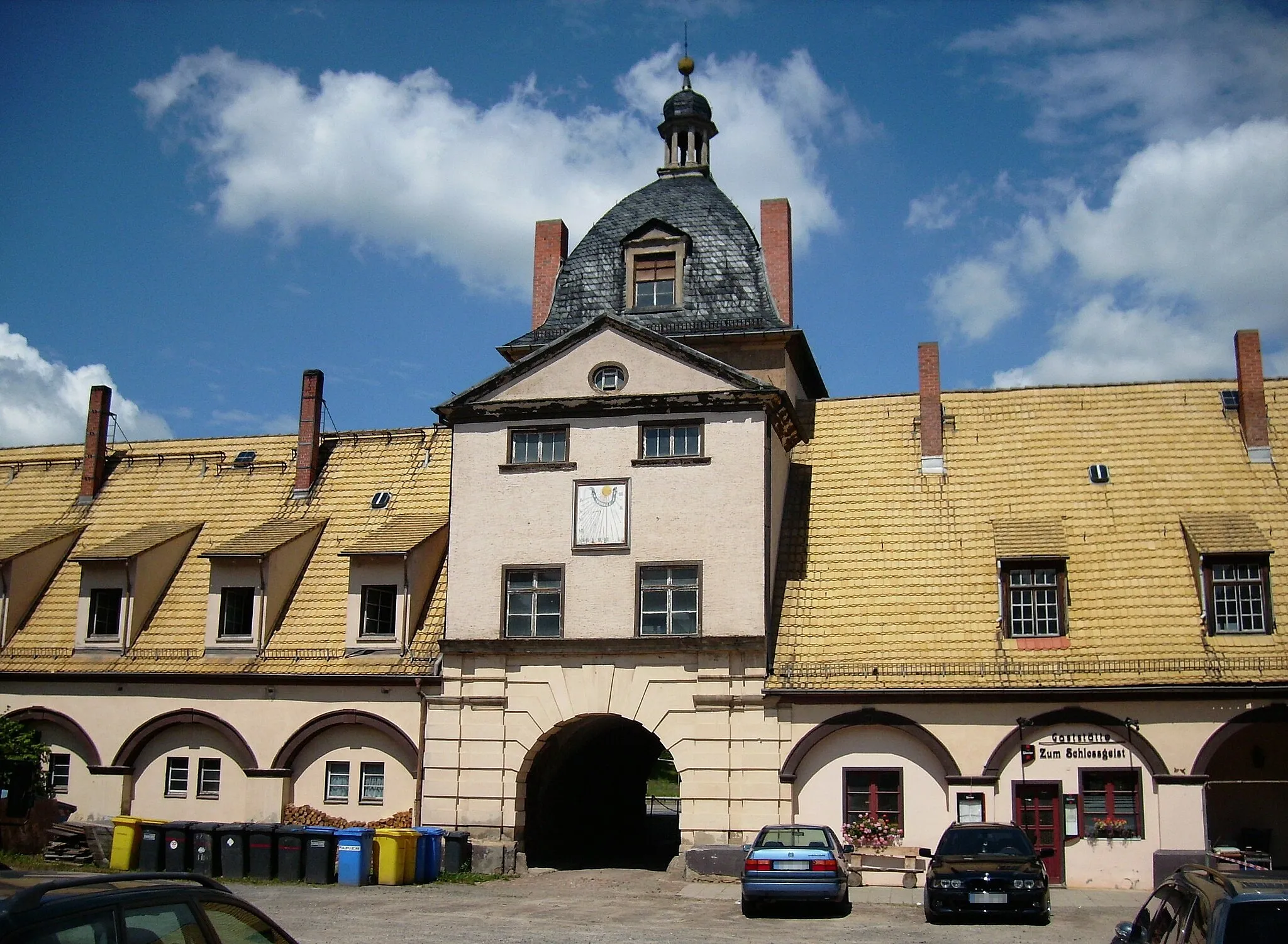
SchloßturmViewpointSchloßturm: Enjoy panoramic views of the region from the top of the Schloßturm in Droyßig. The tower provides a fantastic vantage point overlooking the countryside.
67 km
67 km
DroyßigVillageDroyßig: Conclude your adventure in Droyßig and relax at one of the local cafes or restaurants. Reflect on your gravel riding experience amidst the charm of this historic town.
67 km
67 km
Finish: Droyßig Village centerDroyßig: Tranquil rides through Sachsen-Anhalt's countryside.
Cycling routes from Droyssig:
Cycling routes nearby: