Hohenthurm to Oppin and Back
A gravel cycling route starting from Hohenthurm
Ride through picturesque landscapes to reach the historic village of Oppin
Map
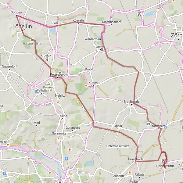
Cyclists looking for a mix of history and natural beauty will enjoy this 54-kilometer gravel route from Hohenthurm to the village of Oppin. With an ascent of 200 meters, this route offers a moderate challenge. Along the way, you'll pass through charming towns, beautiful landscapes, and historic sites.
gravel
54 km
200 m
Tough
Route profile
Highlights on the route
0 km
0 km
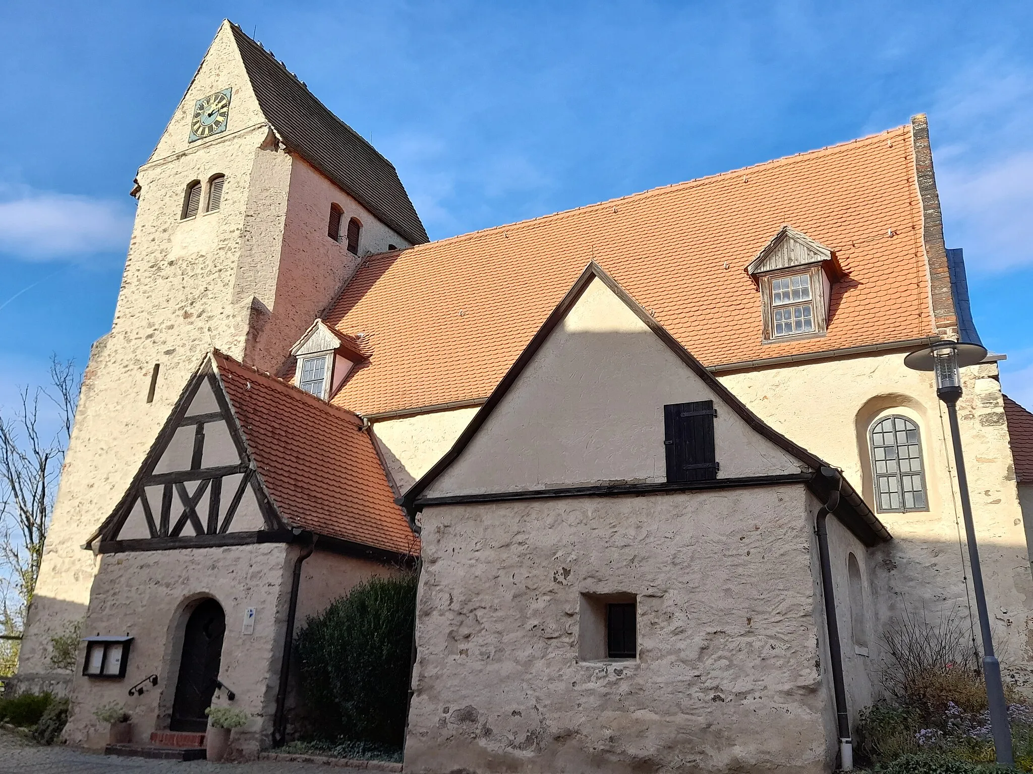
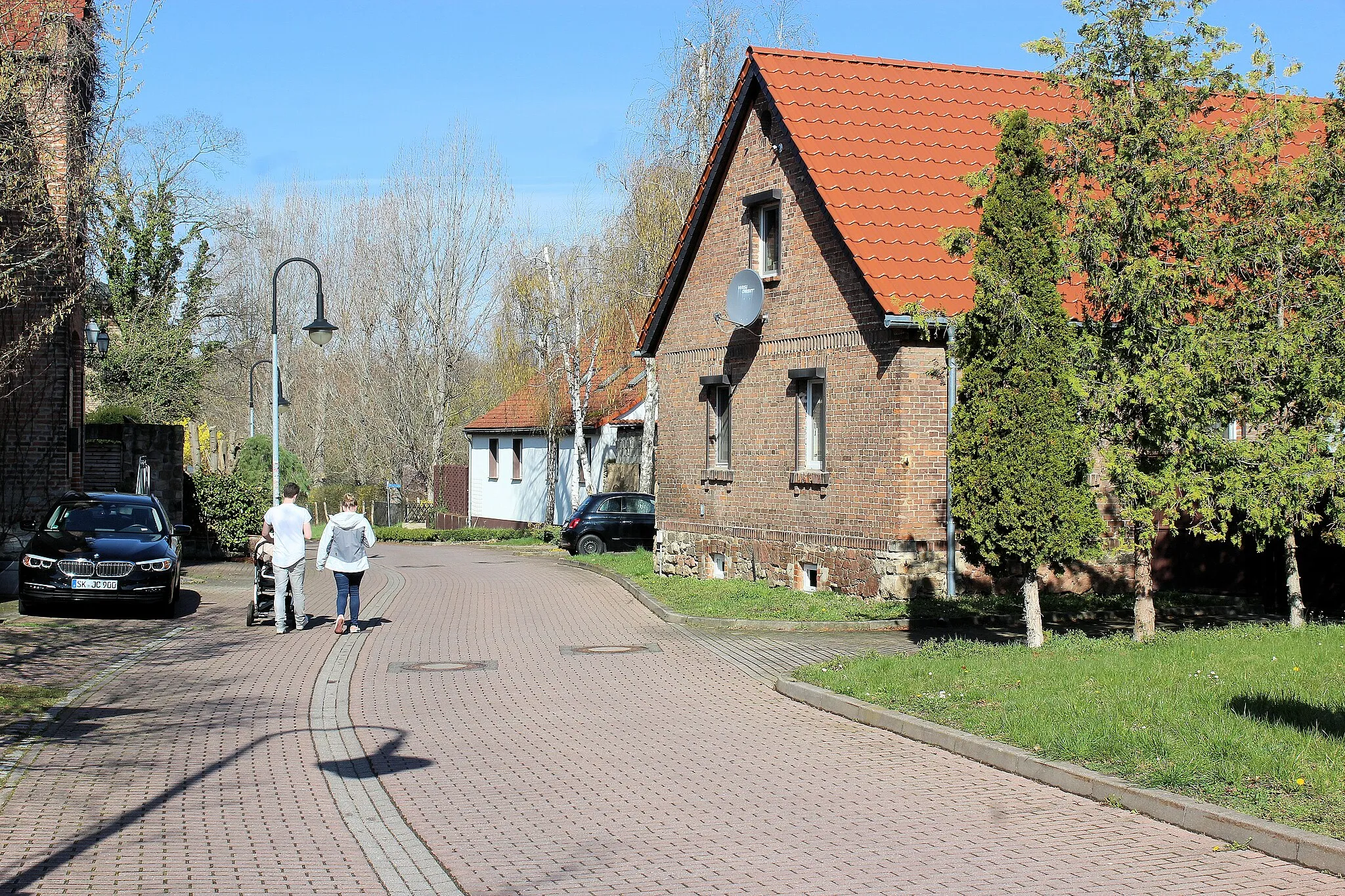
Start: Hohenthurm Village centerHohenthurm: Exploring the picturesque landscapes of Hohenthurm on two wheels.
Hohenthurm, located in Sachsen-Anhalt, Germany, offers a variety of experiences for road and gravel cyclists. The locality offers scenic routes through picturesque countryside, allowing cyclists to explore the region's natural beauty. The roads are well-maintained and provide a smooth cycling experience. Hohenthurm is also a convenient base for exploring nearby famous cycling spots such as Naturpark Fläming and Harz Mountains. With its stunning landscapes and cycling-friendly environment, Hohenthurm ranks high on the cyclist perspective scale.9 km
9 km
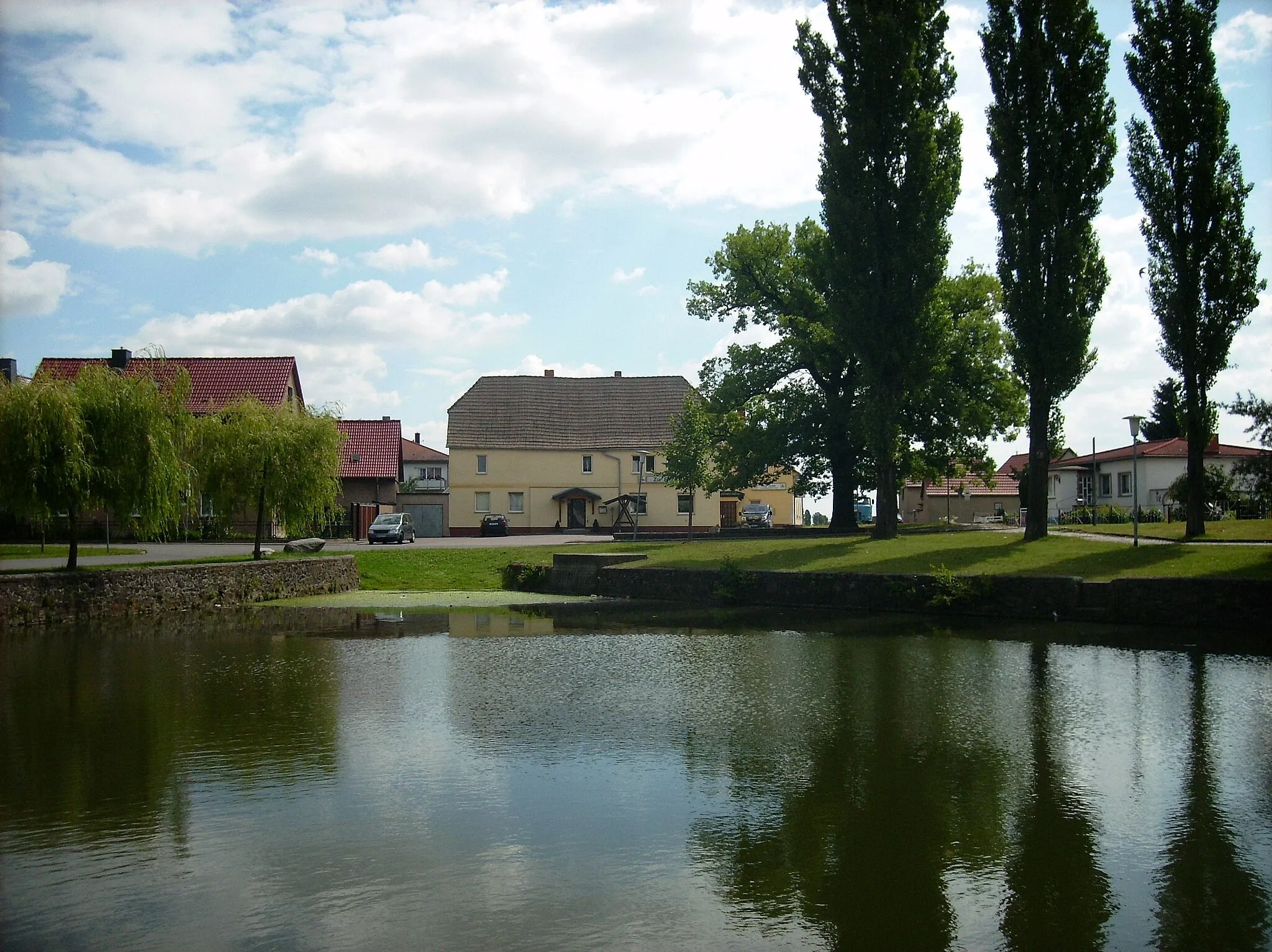
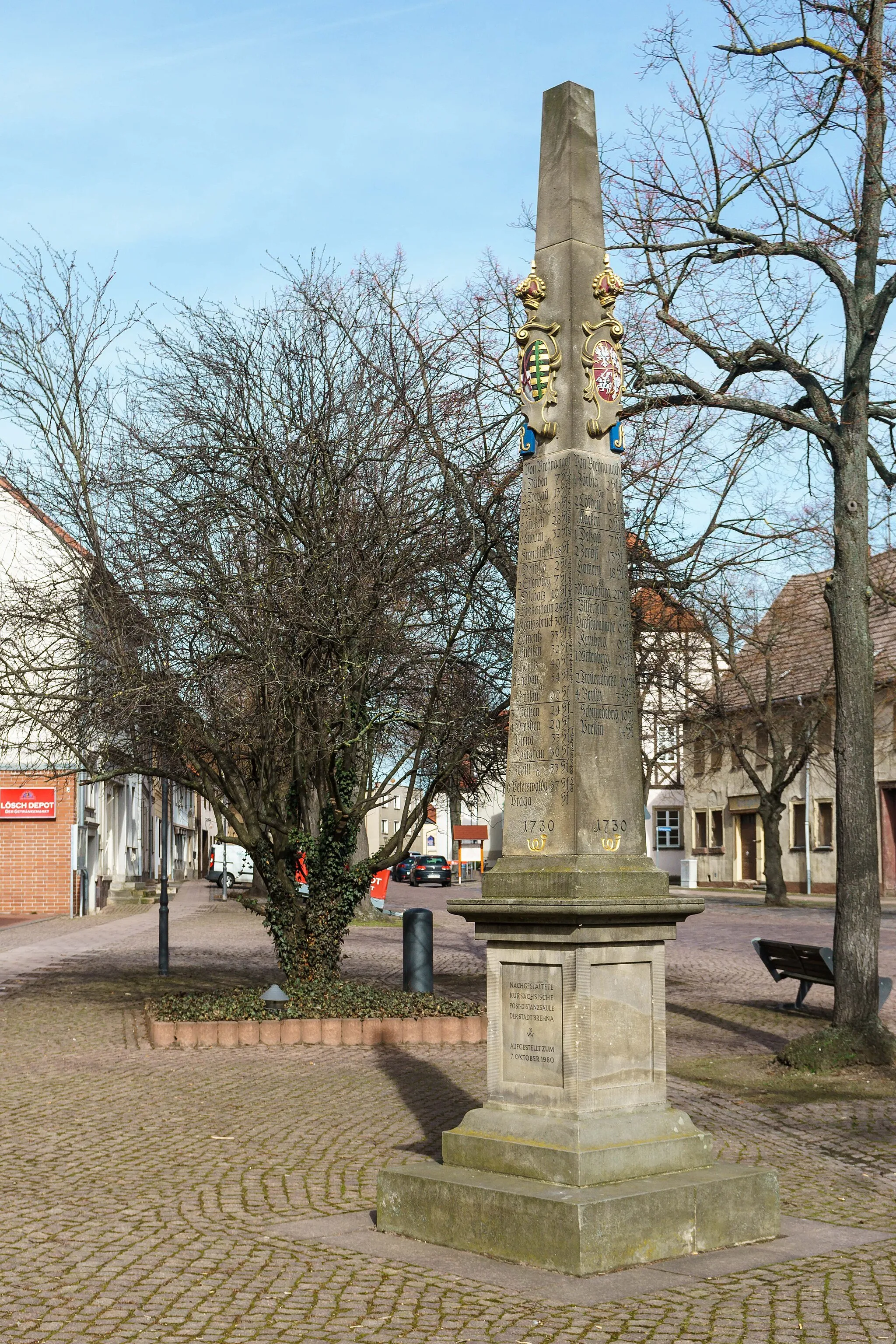
OppinVillageOppin is a small village known for its historic buildings, including a medieval castle ruins.
18 km
18 km
Bismarckturm HalleViewpointClimb to the top of Bismarckturm Halle for panoramic views of the city and surrounding countryside.
25 km
25 km
LöbejünTownLöbejün is a picturesque town surrounded by vineyards, making it an ideal spot for wine lovers.
31 km
31 km
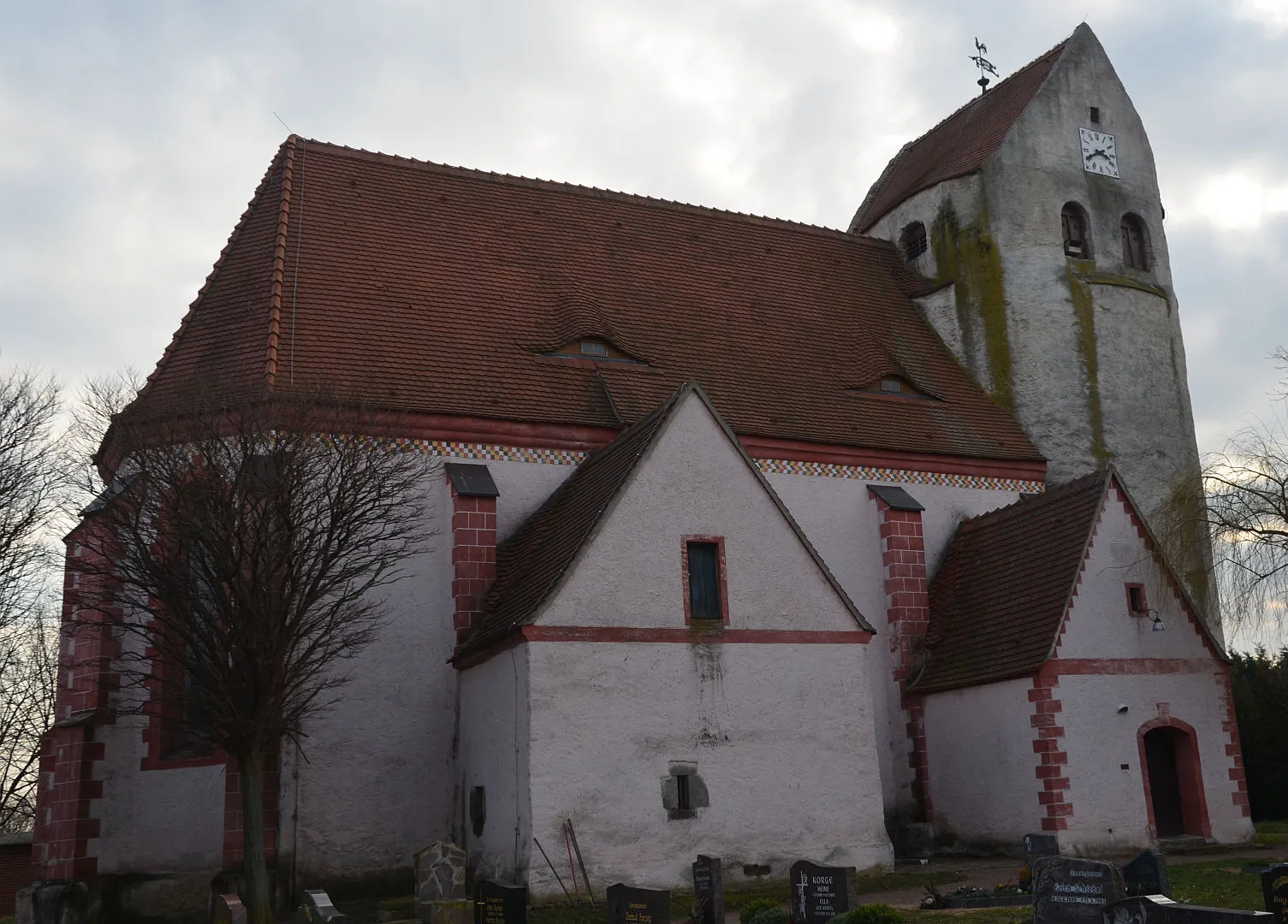
PlötzVillagePlötz is a charming little village with tranquil streets and beautiful timber-framed houses.
37 km
37 km
Katzenberg146 mPeakKatzenberg offers stunning views over Halle and the rolling hills of the Saale-Unstrut region.
48 km
48 km
Burgstetten139 mViewpointBurgstetten is a picturesque village nestled in a valley and surrounded by pristine nature.
49 km
49 km
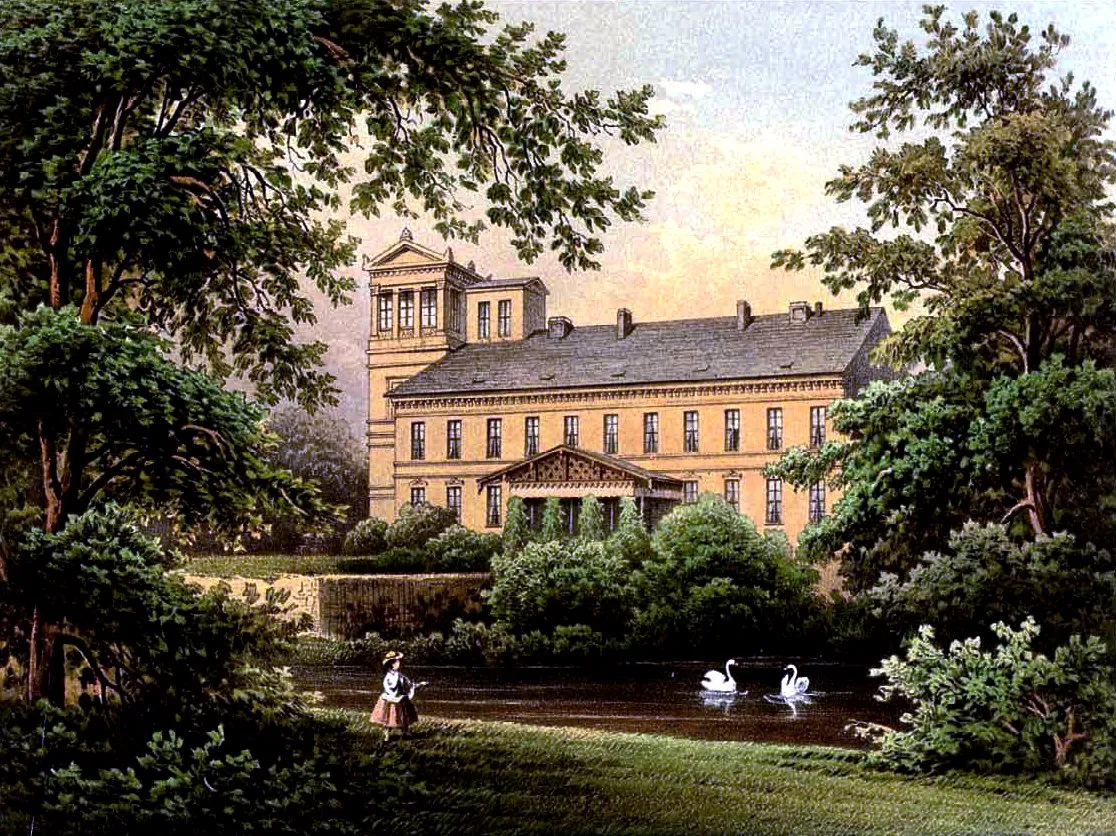
NiembergVillageNiemberg is famous for its impressive Niemberg Castle, a must-visit historical landmark.
54 km
54 km
Finish: Hohenthurm Village centerHohenthurm: Exploring the picturesque landscapes of Hohenthurm on two wheels.
Cycling routes from Hohenthurm:
Cycling routes nearby: