Hohenthurm to Röglitz and Back
A road cycling route starting from Hohenthurm
Embark on a road cycling adventure to Röglitz from Hohenthurm
Map

Covering a distance of 112 kilometers and featuring a continuous ascent of 306 meters, this road cycling route from Hohenthurm to Röglitz is ideal for experienced cyclists looking for a challenge. Along the way, you'll pass through scenic landscapes, charming towns, and historic sites. Note that this route is intended for road bikes.
road
112 km
306 m
Tough
Route profile
Highlights on the route
0 km
0 km
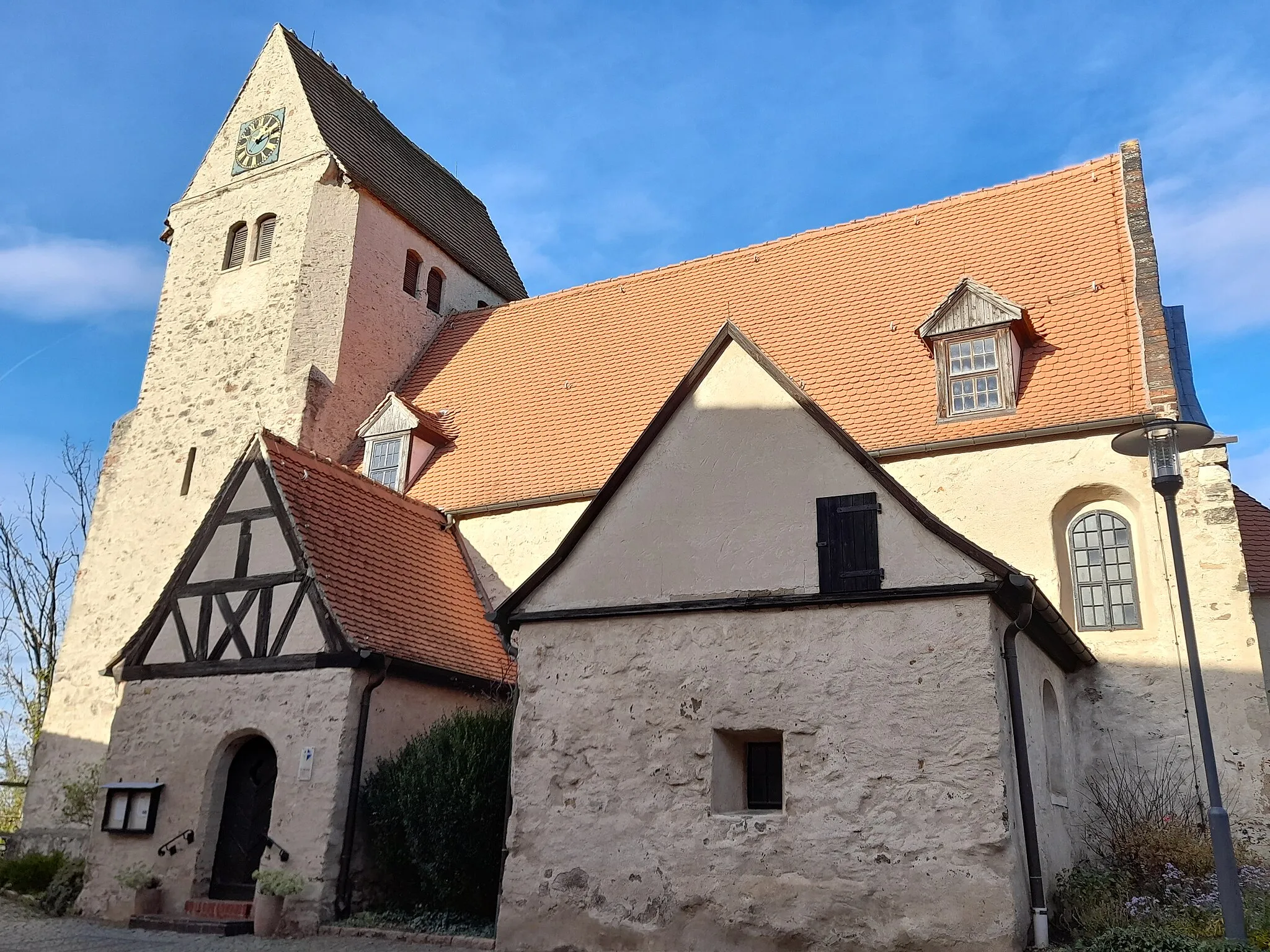
Start: Hohenthurm Village centerHohenthurm: Exploring the picturesque landscapes of Hohenthurm on two wheels.
Hohenthurm, located in Sachsen-Anhalt, Germany, offers a variety of experiences for road and gravel cyclists. The locality offers scenic routes through picturesque countryside, allowing cyclists to explore the region's natural beauty. The roads are well-maintained and provide a smooth cycling experience. Hohenthurm is also a convenient base for exploring nearby famous cycling spots such as Naturpark Fläming and Harz Mountains. With its stunning landscapes and cycling-friendly environment, Hohenthurm ranks high on the cyclist perspective scale.17 km
17 km
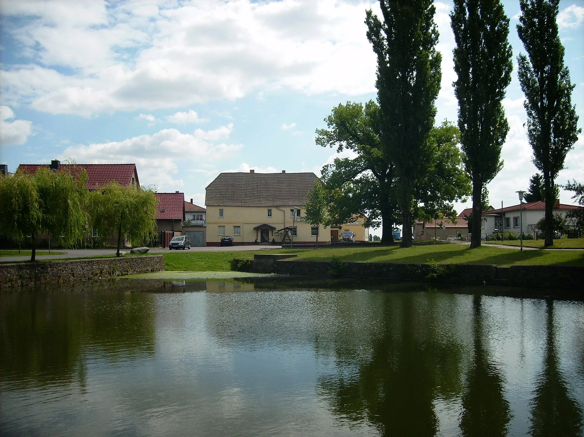
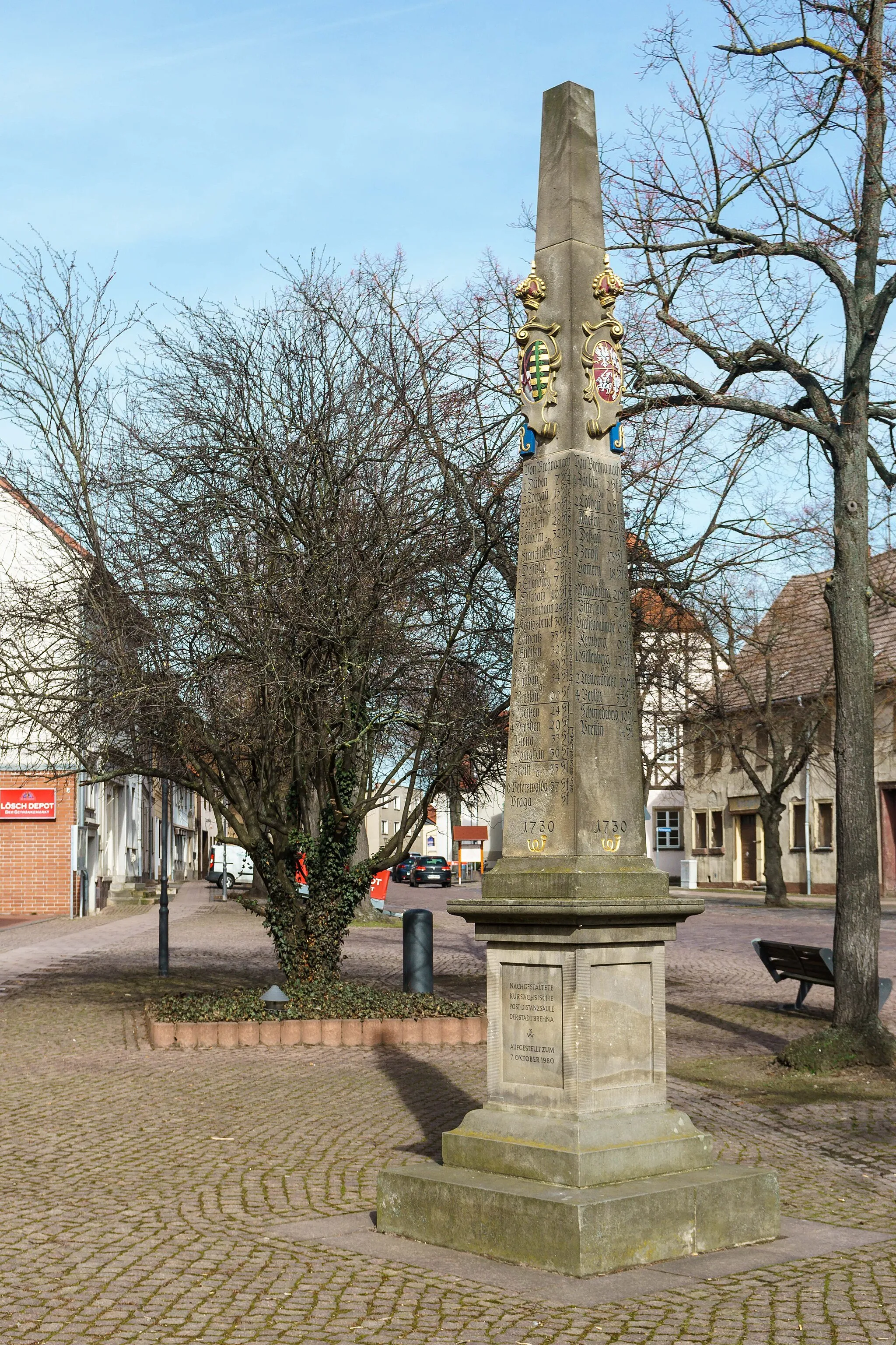
RöglitzVillageRöglitz is a small village known for its beautiful historic buildings and rural charm.
24 km
24 km
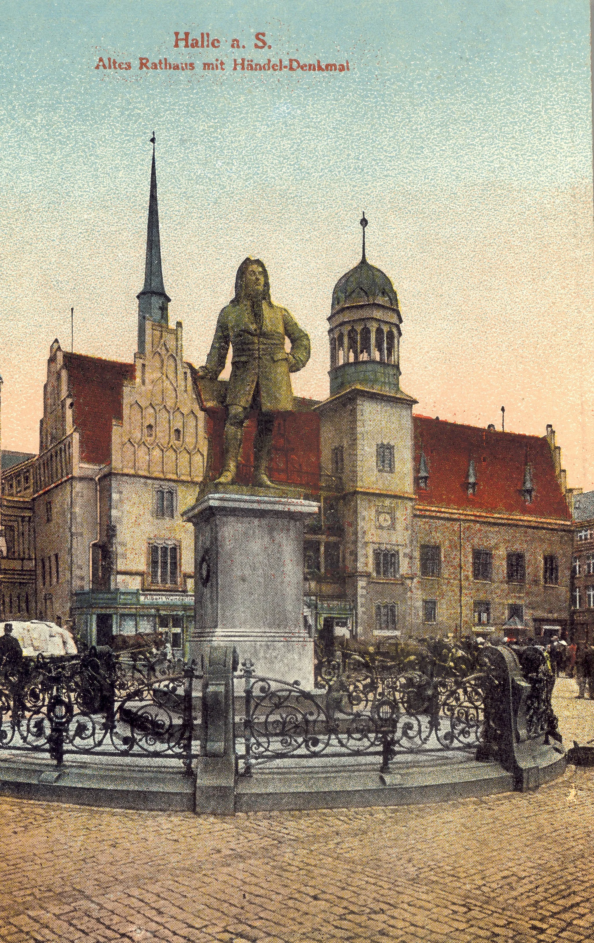
SchkeuditzTownSchkeuditz is a historic town with a rich cultural heritage and fascinating architecture.
45 km
45 km
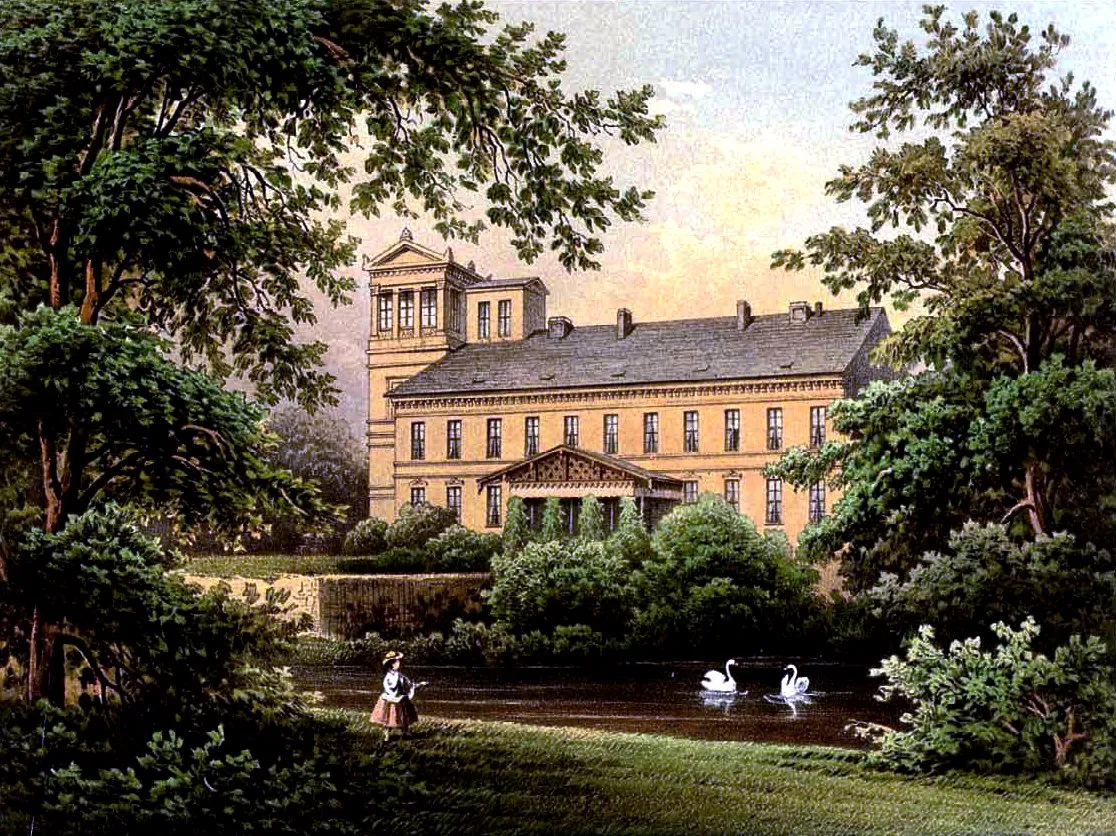
LützenCastleLützen is steeped in history and home to the famous Battle of Lützen monument.
60 km
60 km
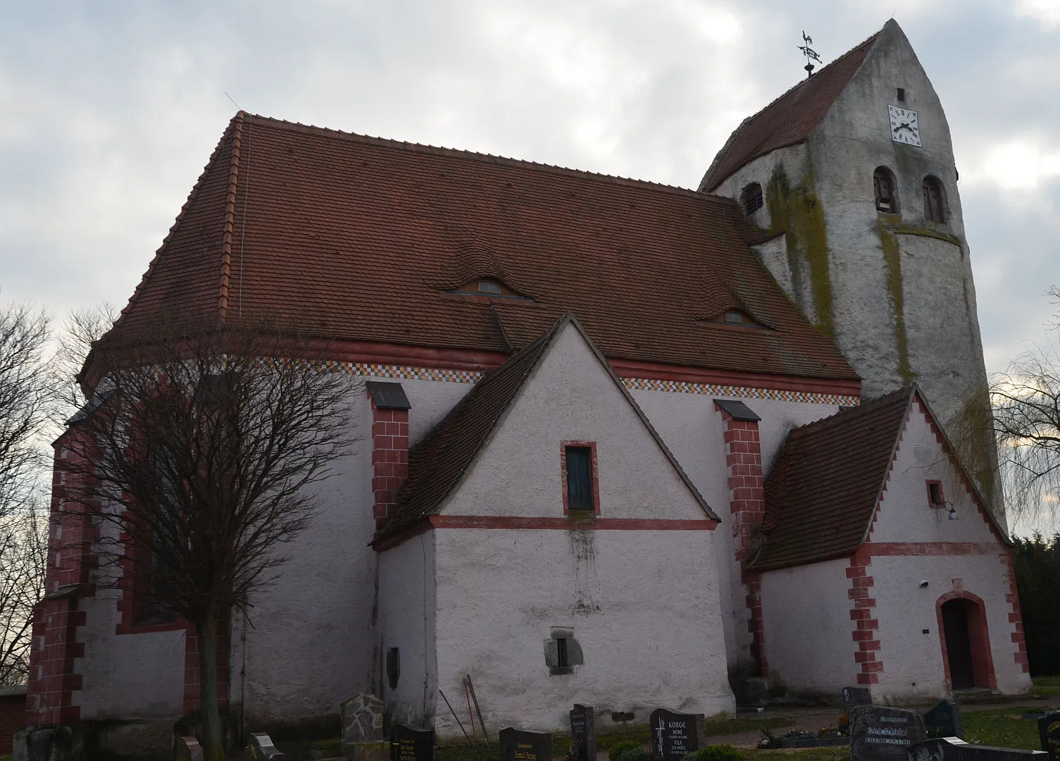
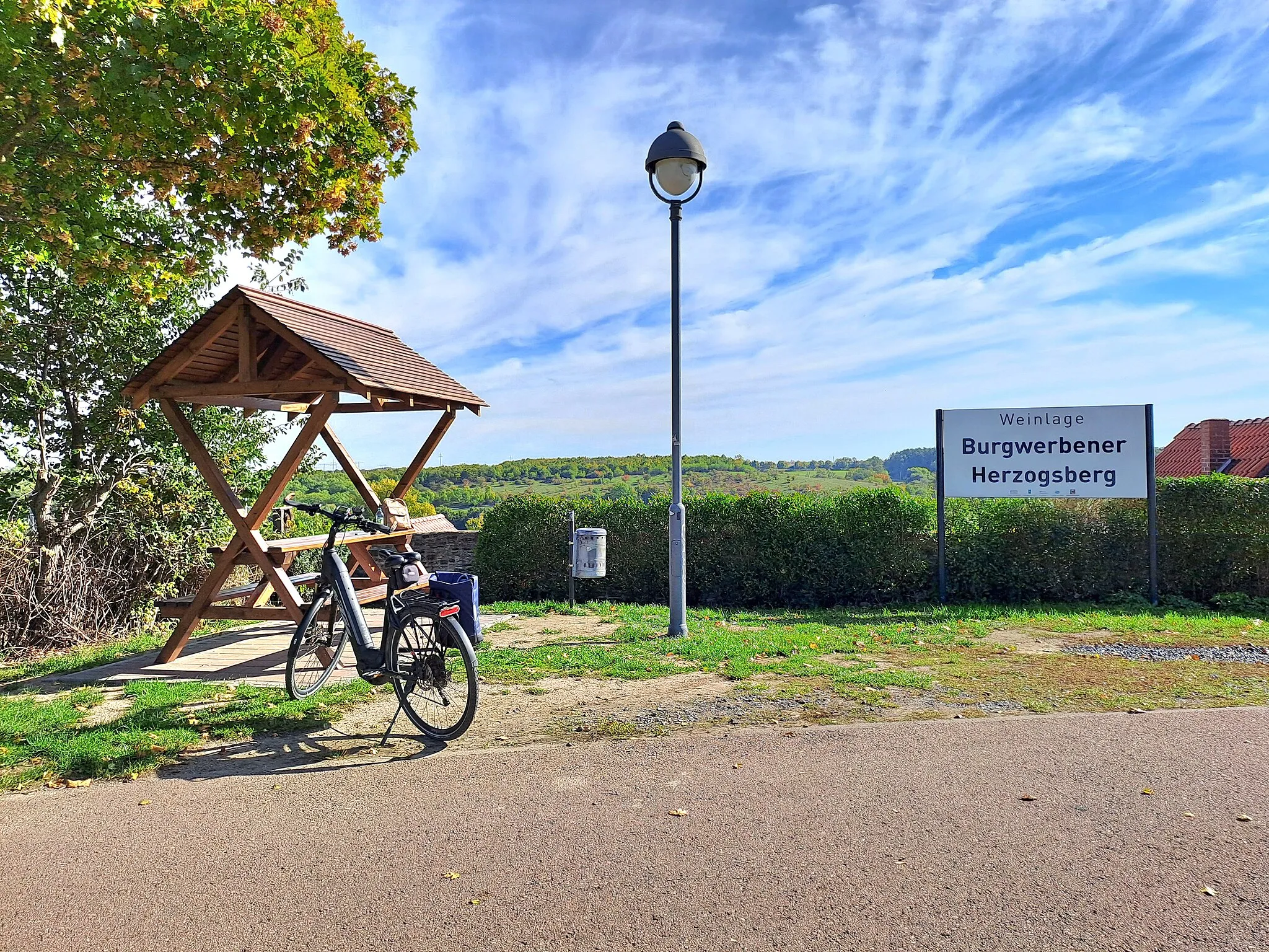
BurgwerbenVillageBurgwerben is a quaint village with a well-preserved historical center and lovely riverside views.
67 km
67 km
Janushügel146 mPeakClimb the Janushügel to enjoy panoramic views of the surrounding countryside.
82 km
82 km
Tupolew Tu-134AttractionTupolew Tu-134, a decommissioned airplane, makes for a unique sightseeing stop.
92 km
92 km
Ammendorf/BeesenSub-urbAmmendorf/Beesen is a tranquil lakeside village with charming waterfront promenades.
102 km
102 km
ReideburgVillageReideburg is a delightful district of Halle adorned with beautiful architecture and green open spaces.
109 km
109 km
DroysigVillageDroysig features picturesque landscapes, historic buildings, and a peaceful ambiance.
112 km
112 km
Finish: Hohenthurm Village centerHohenthurm: Exploring the picturesque landscapes of Hohenthurm on two wheels.
Cycling routes from Hohenthurm:
Cycling routes nearby: