Obhausen to Teutschenthal Gravel Route
A gravel cycling route starting from Schafstaedt
Discover the rustic beauty of Teutschenthal
Map
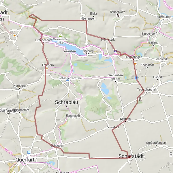
Embark on a captivating gravel cycling route from Obhausen to Teutschenthal. This 60-kilometer path takes you through the scenic landscapes of Sachsen-Anhalt, Germany. With a total ascent of 402 meters, cyclists can enjoy a challenging ride combined with beautiful countryside views. This route is suitable for well-trained amateurs looking to explore the natural and cultural attractions of the region.
gravel
60 km
402 m
Tough
Route profile
Highlights on the route
0 km
0 km
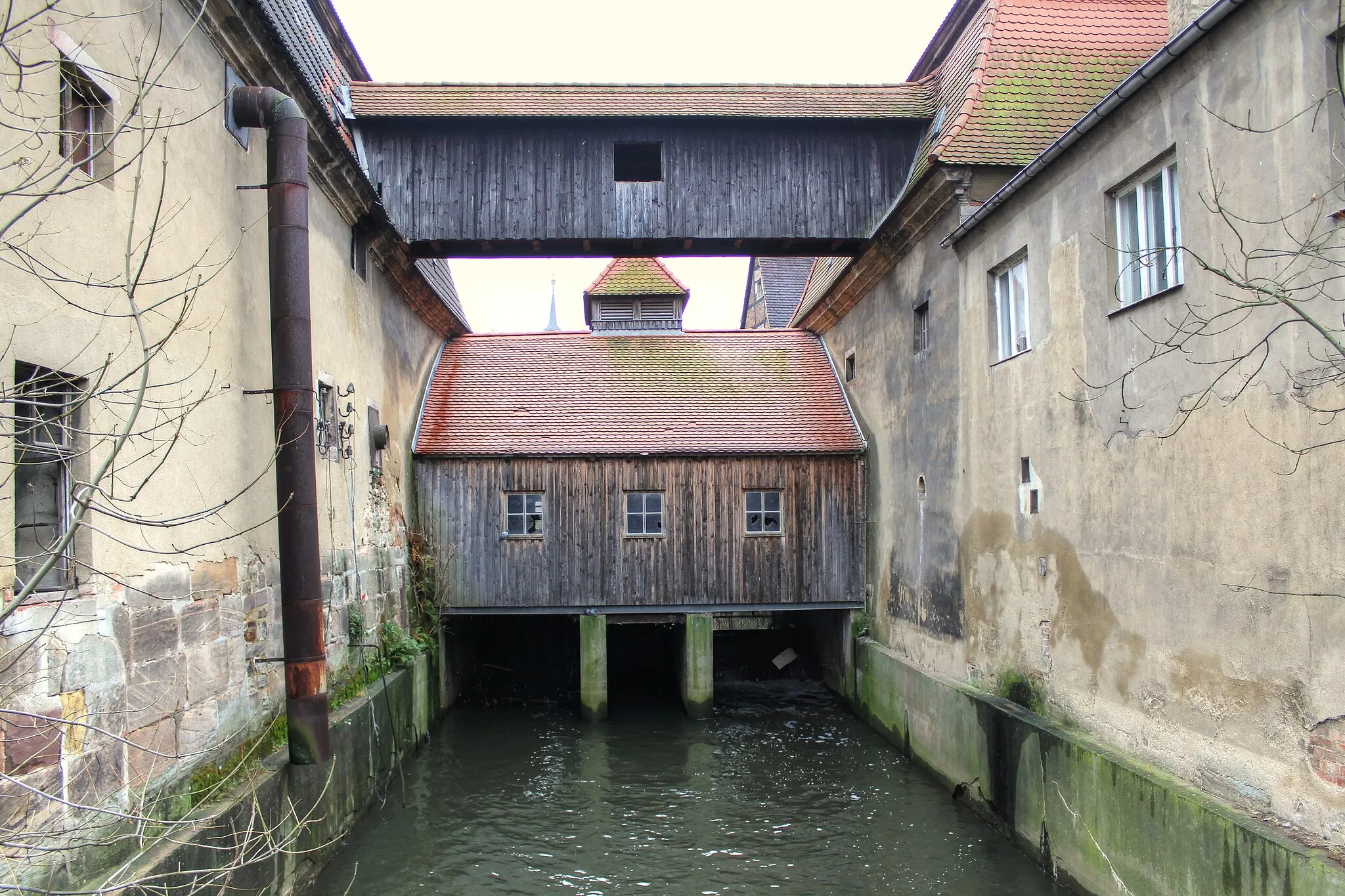
Start: Schafstädt City centerSchafstädt: Nature's beauty meets historical charm
Schafstädt, situated in Sachsen-Anhalt, Germany, offers various cycling opportunities for road and gravel cyclists. The locality features a combination of flat and hilly terrains, catering to different cycling preferences. Schafstädt is surrounded by beautiful nature, including meadows and forests, which provide a stunning backdrop for cyclists. Additionally, the region boasts picturesque villages and historical landmarks, making it a fascinating area to explore. With its cycling-friendly paths and charming surroundings, Schafstädt is an attractive destination for cyclists and history buffs alike.9 km
9 km
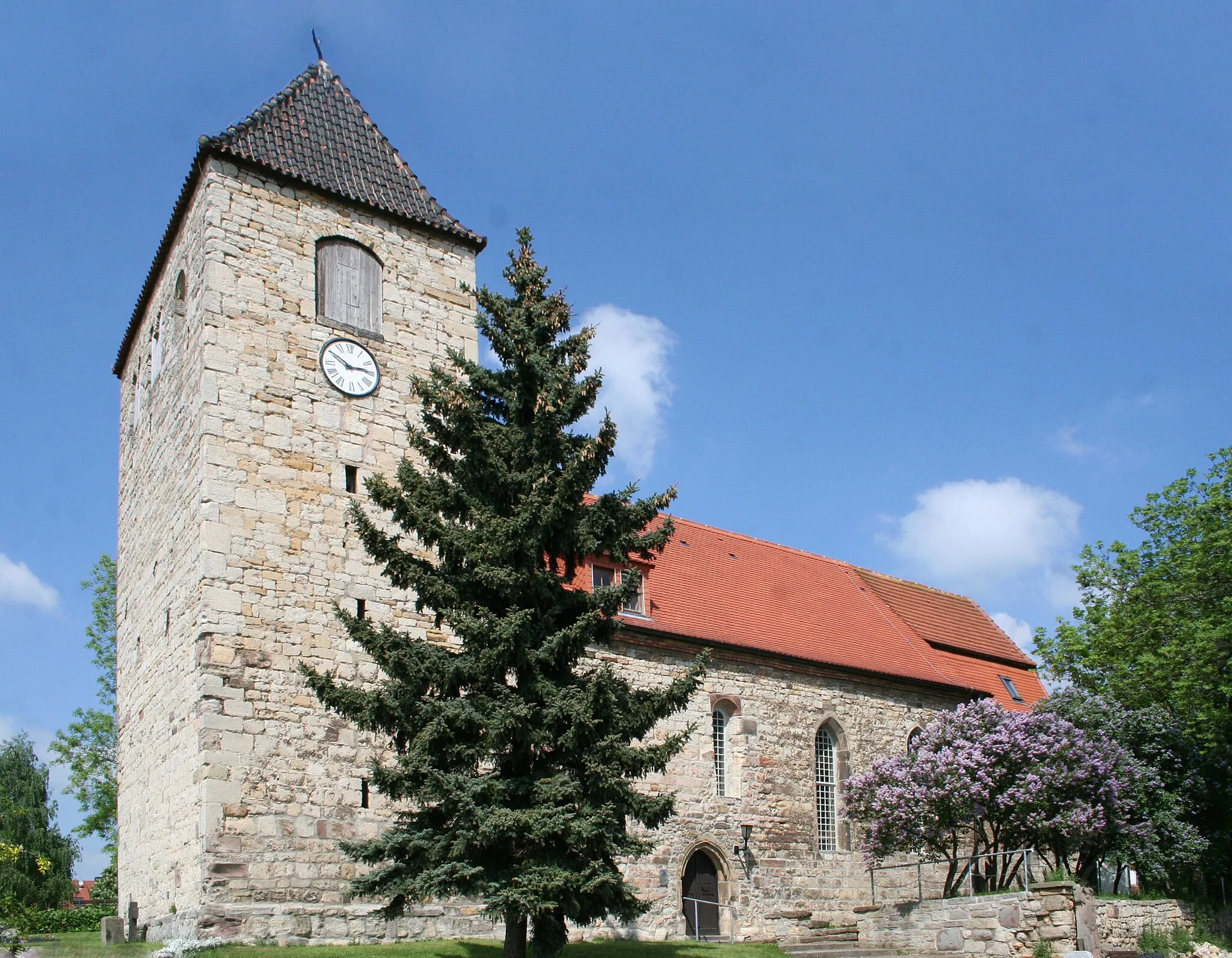
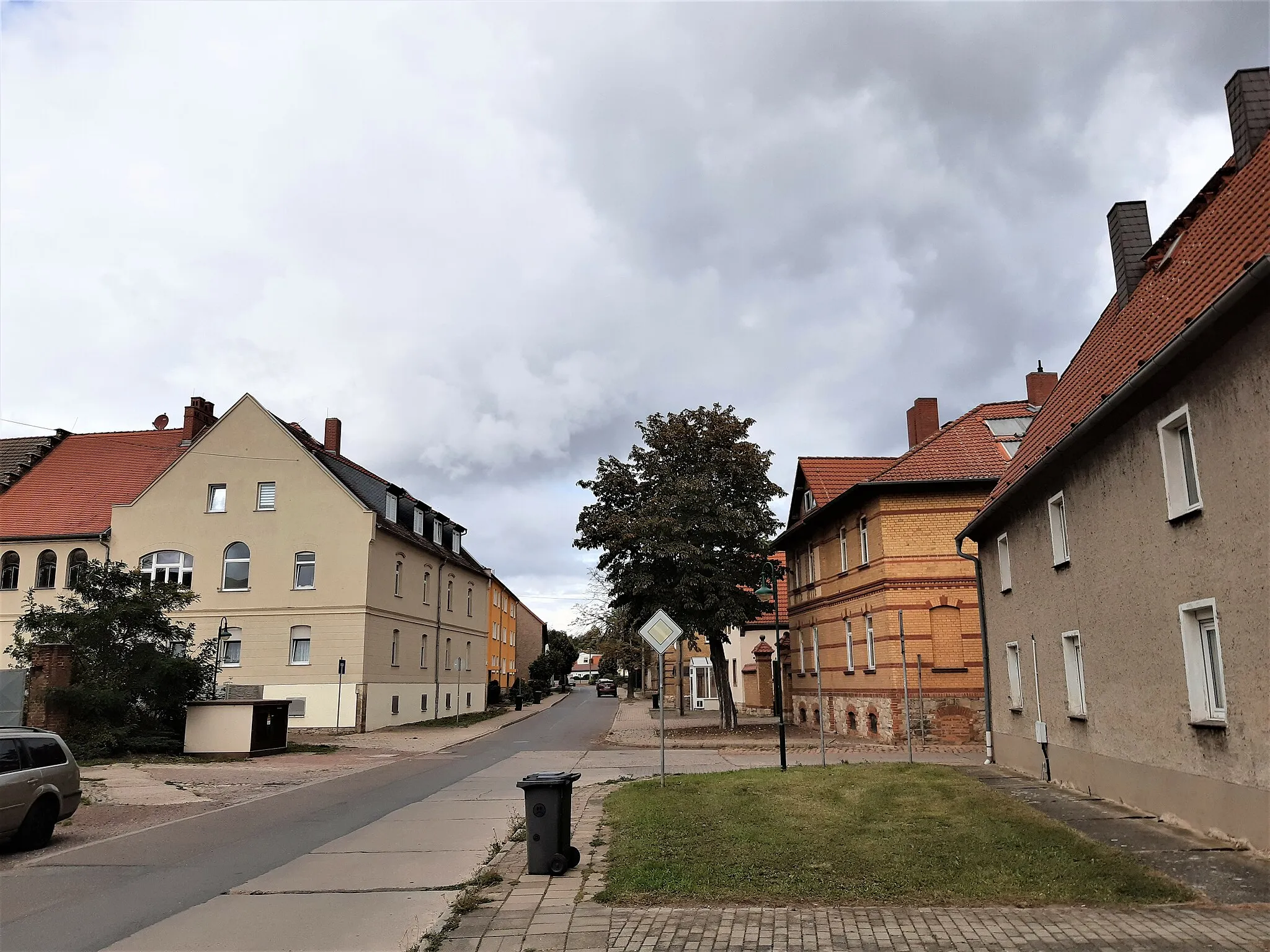
ObhausenVillageExplore Obhausen, a charming village known for its picturesque setting and rural charm.
22 km
22 km
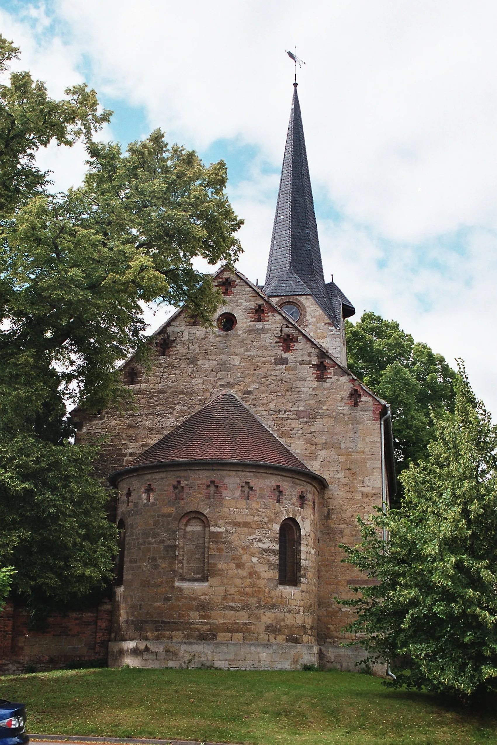
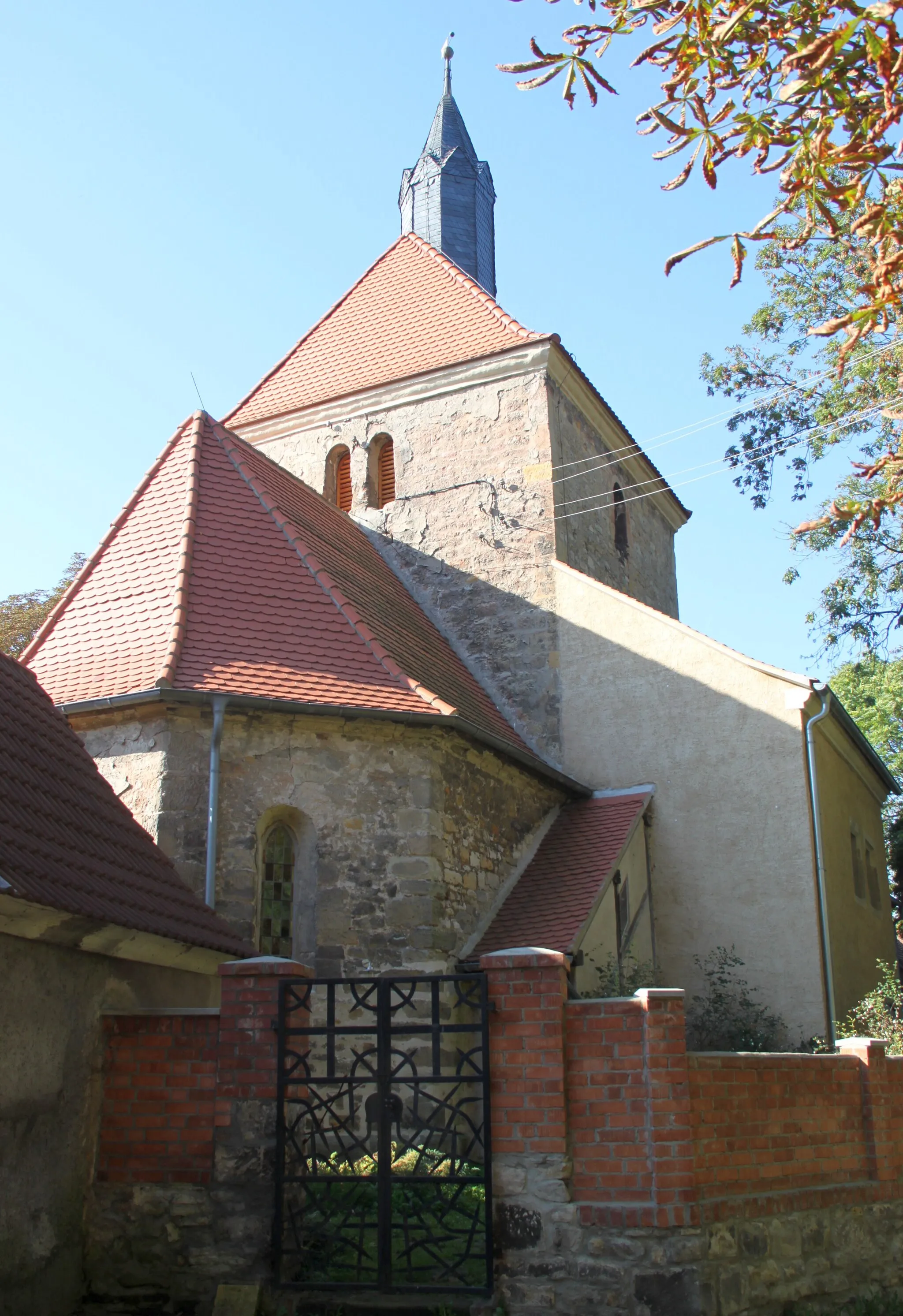
ErdebornVillagePass through Erdeborn and soak in its tranquil atmosphere, with beautiful landscapes and traditional architecture.
41 km
41 km
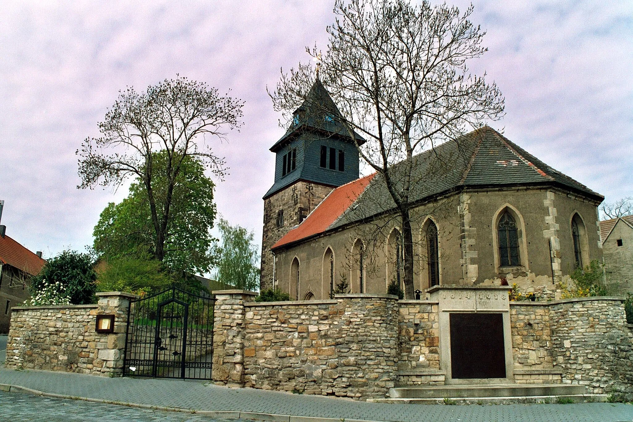
HöhnstedtVillageDiscover Höhnstedt and experience its rustic charm, with its historic buildings and peaceful ambiance.
47 km
47 km
Kalihalde Teutschenthal Krügershall105 mPeakStop by the Kalihalde Teutschenthal Krügershall and learn about the history of potash mining in the region.
49 km
49 km
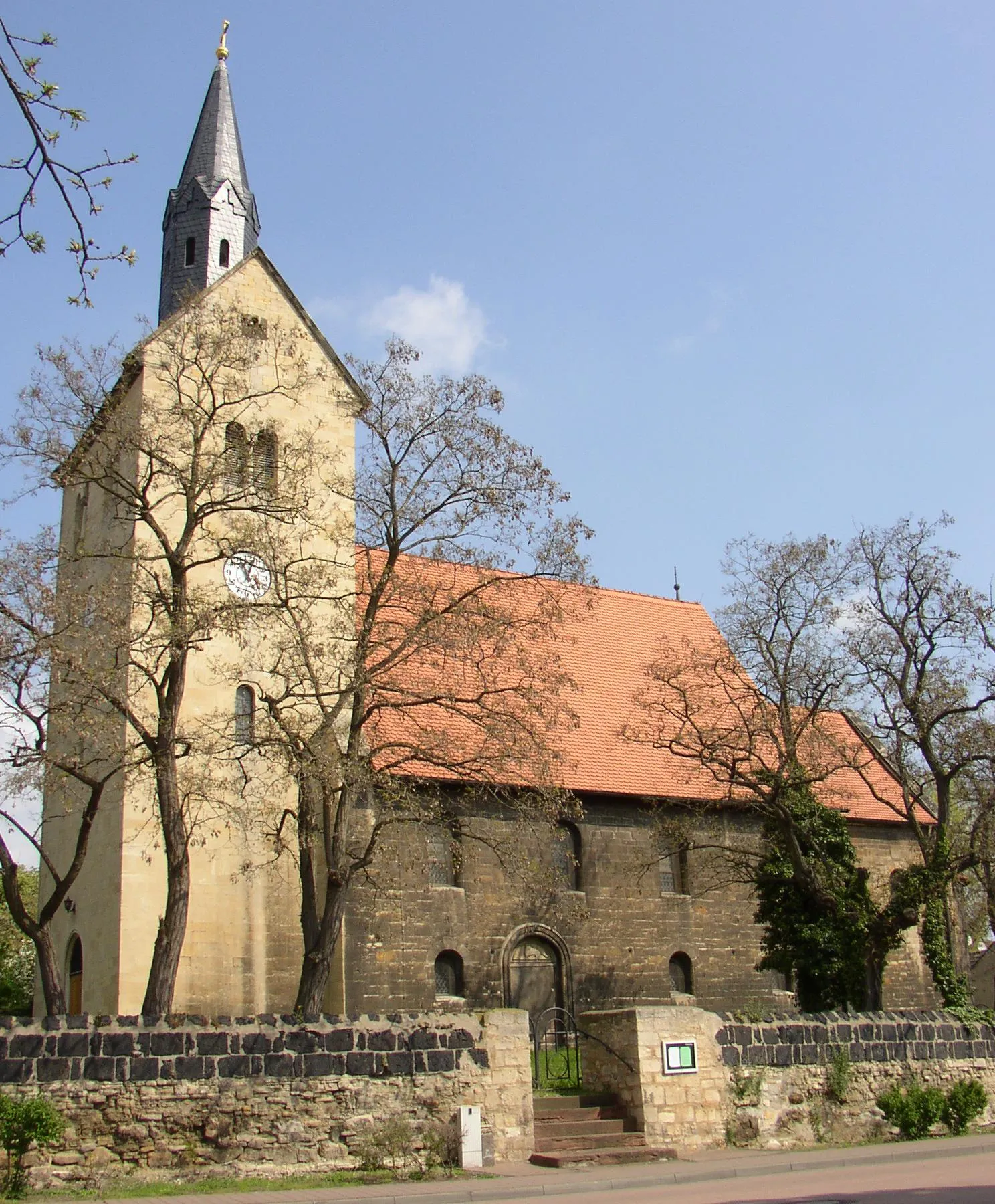
TeutschenthalVillageVisit Teutschenthal, a vibrant village surrounded by beautiful rolling hills and idyllic landscapes.
56 km
56 km
DornstedtVillageCycle through Dornstedt and enjoy its rural tranquility and charming natural surroundings.
60 km
60 km
Finish: Schafstädt City centerSchafstädt: Nature's beauty meets historical charm
Cycling routes from Schafstaedt:
Obhausen Gravel Cycling Route Querfurt - Pariser Turm - Abraumhalde Nienstedt Cycling Route Scenic Road Cycling Route: Schafstädt - Obhausen - Polleben Scenic Road Cycling Route: Schafstädt - Schkopau - Bad Dürrenberg Goethestadt Bad Lauchstädt Cycling Route Obhausen to Teutschenthal Gravel Route Angersdorf - Diemitz - Großer Dautzschberg - Werlitzsch Cycling Route Schafstädt Highlights Gravel Route Gravel Cycling Adventure in Großgräfendorf - Seeblick - Moritzburg Schafstädt Epic Gravel Route
Cycling routes nearby: