Weißenfels to Bad Kösen Gravel Route
A gravel cycling route starting from Weissenfels
A challenging gravel route from Weißenfels to Bad Kösen
Map
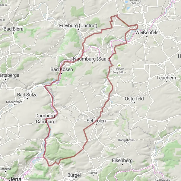
Experience a challenging gravel route journey from Weißenfels to the picturesque town of Bad Kösen. With a total ascent of 810 meters over a distance of 98 kilometers, this route is suitable for experienced cyclists seeking a demanding and rewarding challenge. Highlights along the route include Bergfried, a medieval tower offering panoramic views, as well as the Steinberg, famous for its captivating natural beauty. From historical landmarks to tranquil countryside, this route provides a mix of cultural and scenic attractions.
gravel
98 km
810 m
Savage
Route profile
Highlights on the route
0 km
0 km
Start: Markwerben Village centerWeißenfels: Tranquil rides in Sachsen-Anhalt
Weißenfels in Sachsen-Anhalt, Germany, is a small locality that provides opportunities for both road and gravel cyclists. Road cyclists can enjoy riding through the picturesque countryside, passing by vineyards and charming towns along the Saale River. Gravel cyclists will find forested areas and off-road trails that allow for exploration of the region's natural beauty. Although Weißenfels may not have any famous cycling spots, it offers a peaceful and scenic environment for cyclists to appreciate the beauty of the area.10 km
10 km
BergfriedViewpointAt Bergfried, climb to the top and enjoy breathtaking panoramic views of the surrounding countryside.
14 km
14 km
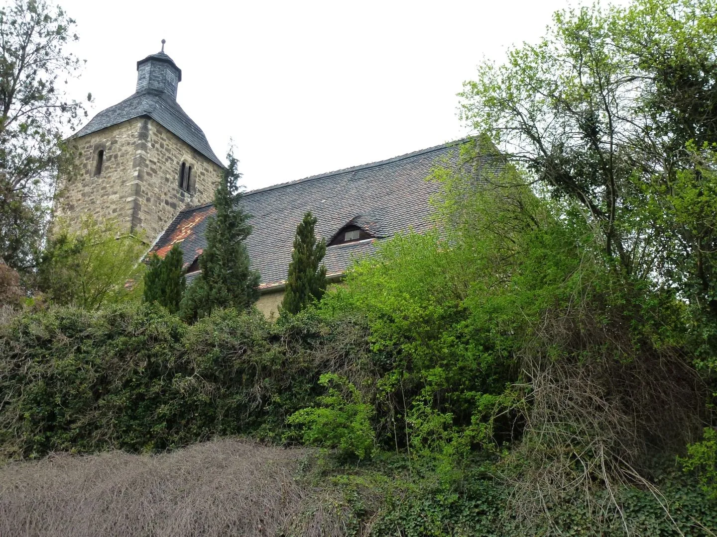
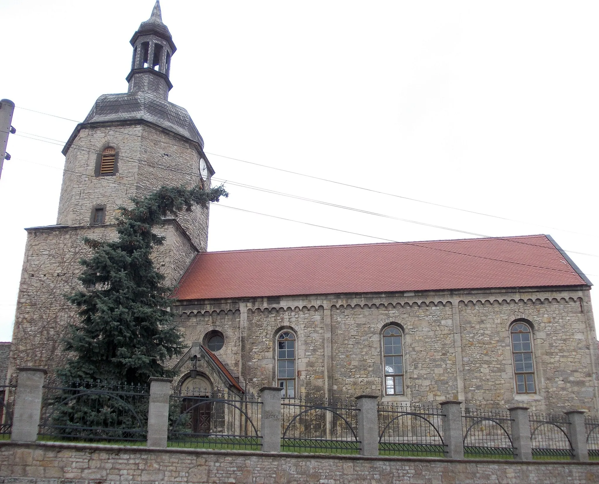
WethauVillagePass by Wethau, a charming village known for its well-preserved medieval architecture.
27 km
27 km
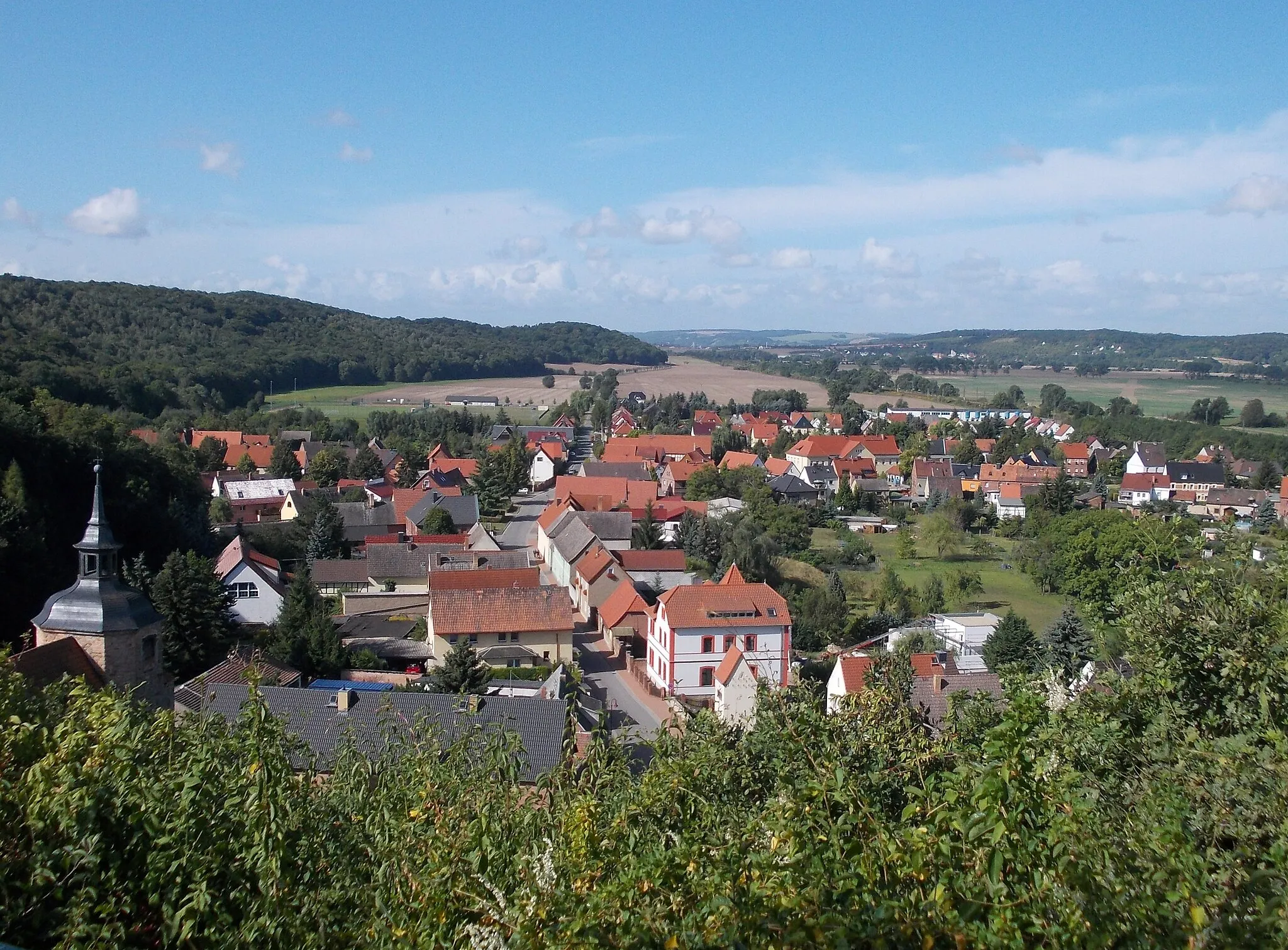
SchkölenTownExplore Schkölen and admire its idyllic landscapes.
39 km
39 km
Poxdorfer Höhe356 mPeakCycle up the Poxdorfer Höhe and be rewarded with stunning vistas.
46 km
46 km
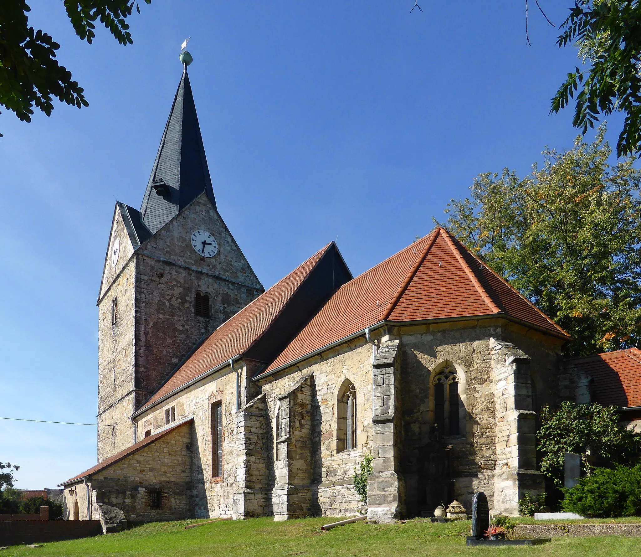
GolmsdorfVillageTake a break at the Golmsdorf, a picturesque village nestled amidst beautiful natural settings.
50 km
50 km
Rod254 mPeakDiscover the rural charm of Rod and its tranquil surroundings.
60 km
60 km
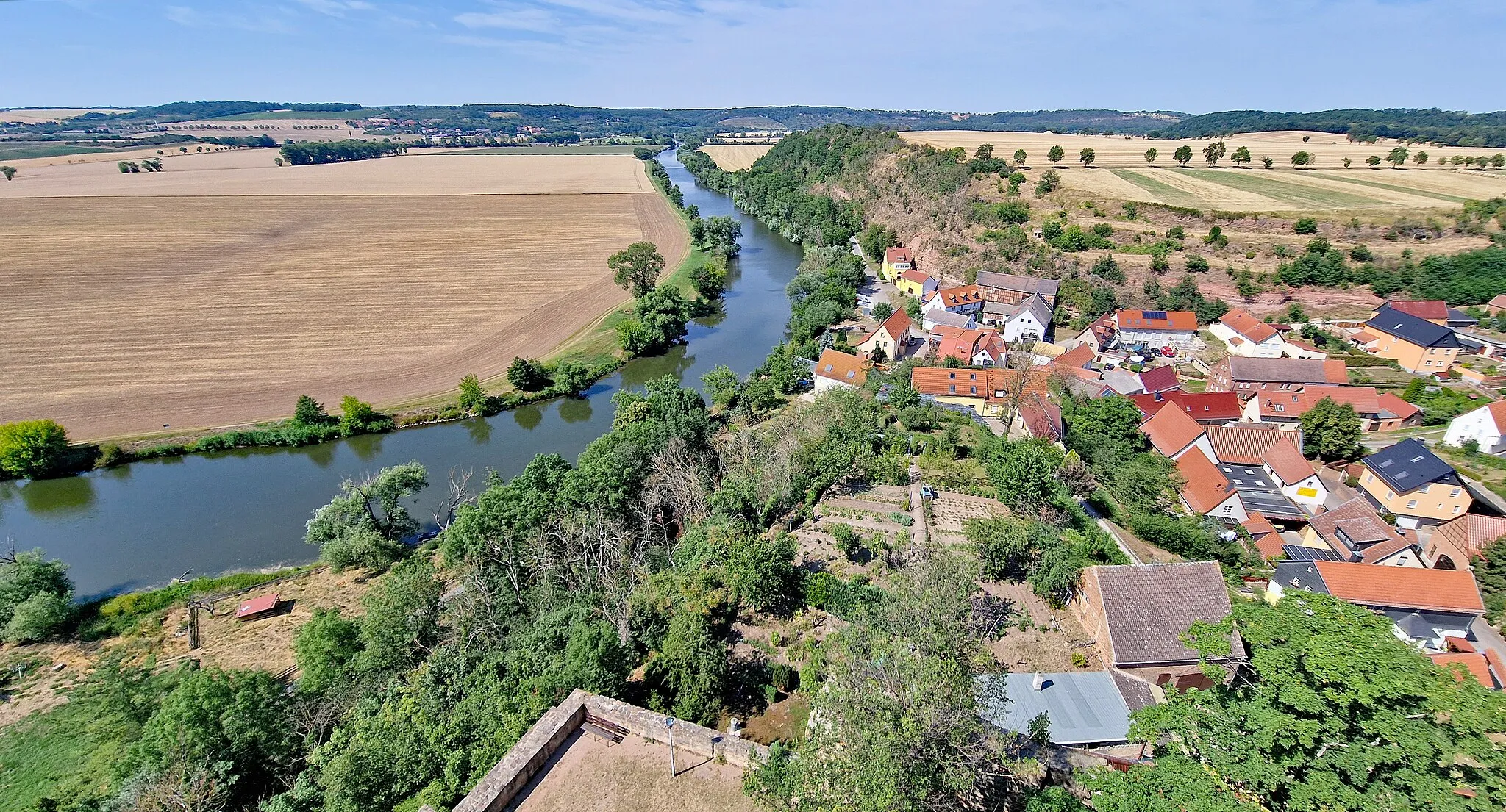
SteinbergViewpointMarvel at the beauty of Steinberg, surrounded by dense forests and enchanting landscapes.
71 km
71 km
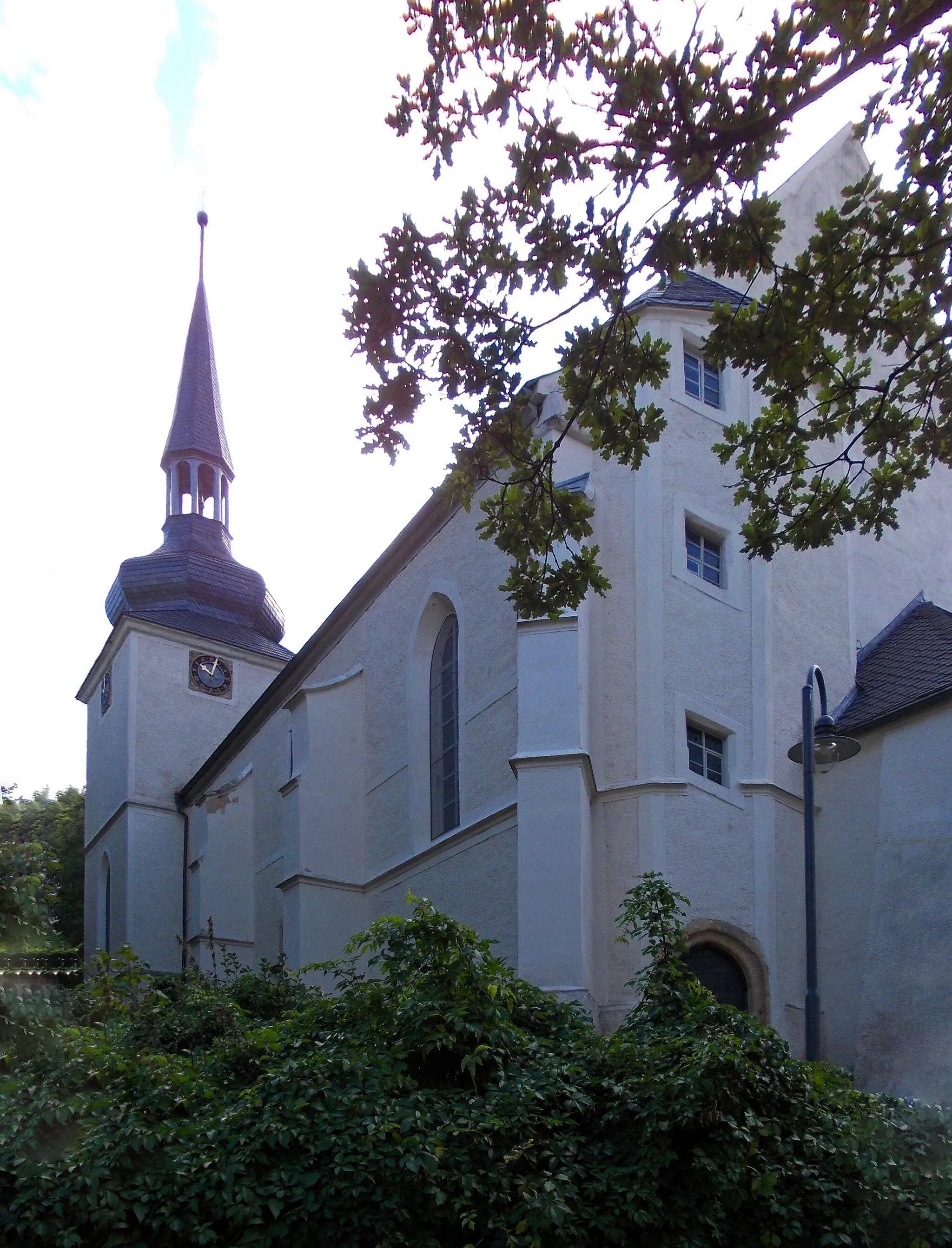
Bad KösenTownVisit Bad Kösen and explore its historical attractions.
88 km
88 km
Sonnenobservatorium GoseckAttractionExplore the Sonnenobservatorium Goseck, an ancient solar observatory.
98 km
98 km
Finish: Markwerben Village centerWeißenfels: Tranquil rides in Sachsen-Anhalt
Cycling routes from Weissenfels:
Historical Trail through Picturesque Landscapes The Gravel Adventure The Road to Historical Gems Rural Charm and Natural Beauty Off the Beaten Path: Gravel Adventure Weißenfels to Freyburg Gravel Route Leuna to Zorbau Road Route Weißenfels to Storkau Road Route Weißenfels to Bad Kösen Gravel Route Gröbitz to Uichteritz Gravel Route
Cycling routes nearby: