Historical Route from Rain to Gersthofen
A road cycling route starting from Rain
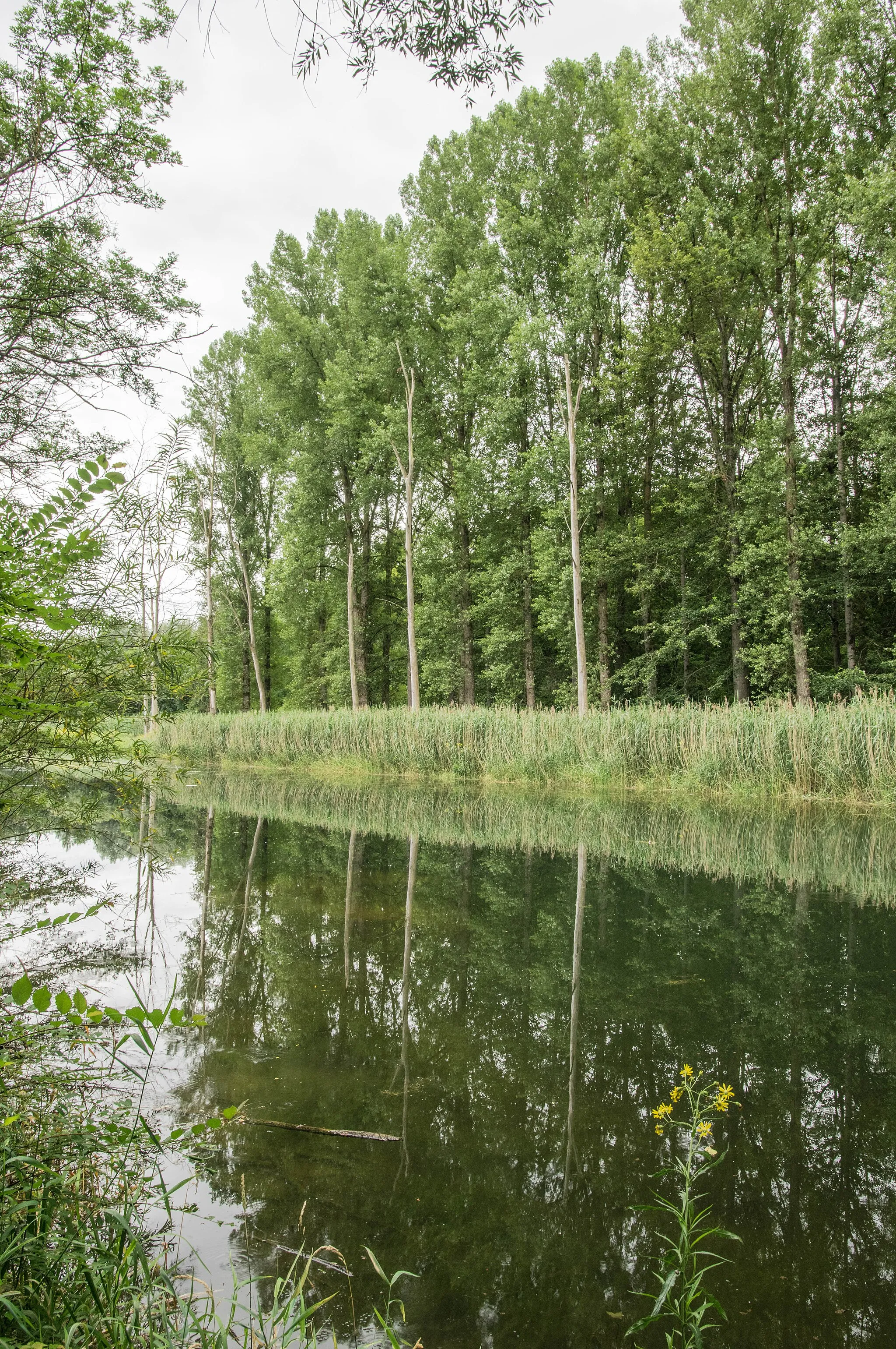
Scenic road cycling route passing through Weinberg and Galgenberg
Map
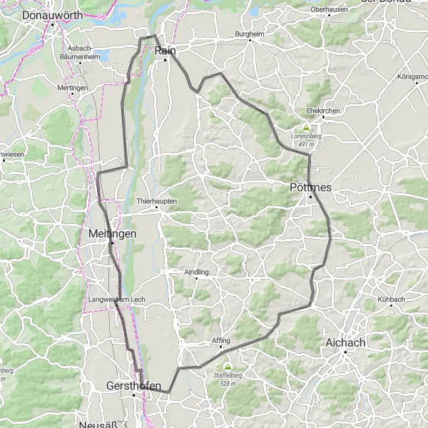
Embark on a road cycling adventure from Rain to Gersthofen, covering a distance of 93km and an ascent of 469m. This route takes you through the scenic Weinberg region known for its vineyards and Galgenberg, offering panoramic views of the surrounding countryside. Highlights along the journey include the historical town of Rain, the charming vineyards of Weinberg, and the hilltop views from Galgenberg. Immerse yourself in the cultural heritage of Schwaben and enjoy the picturesque landscapes on this historical road cycling route.
road
93 km
469 m
Chill
Route profile
Highlights on the route
0 km
0 km
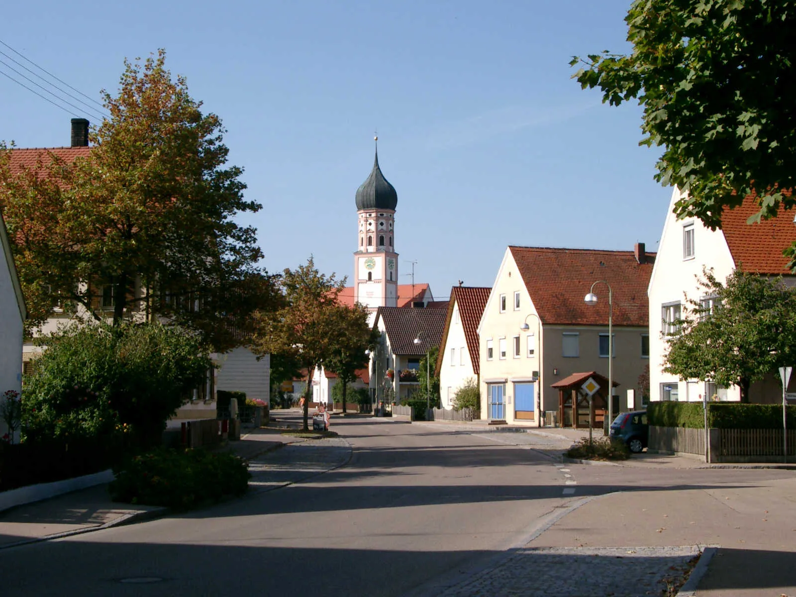
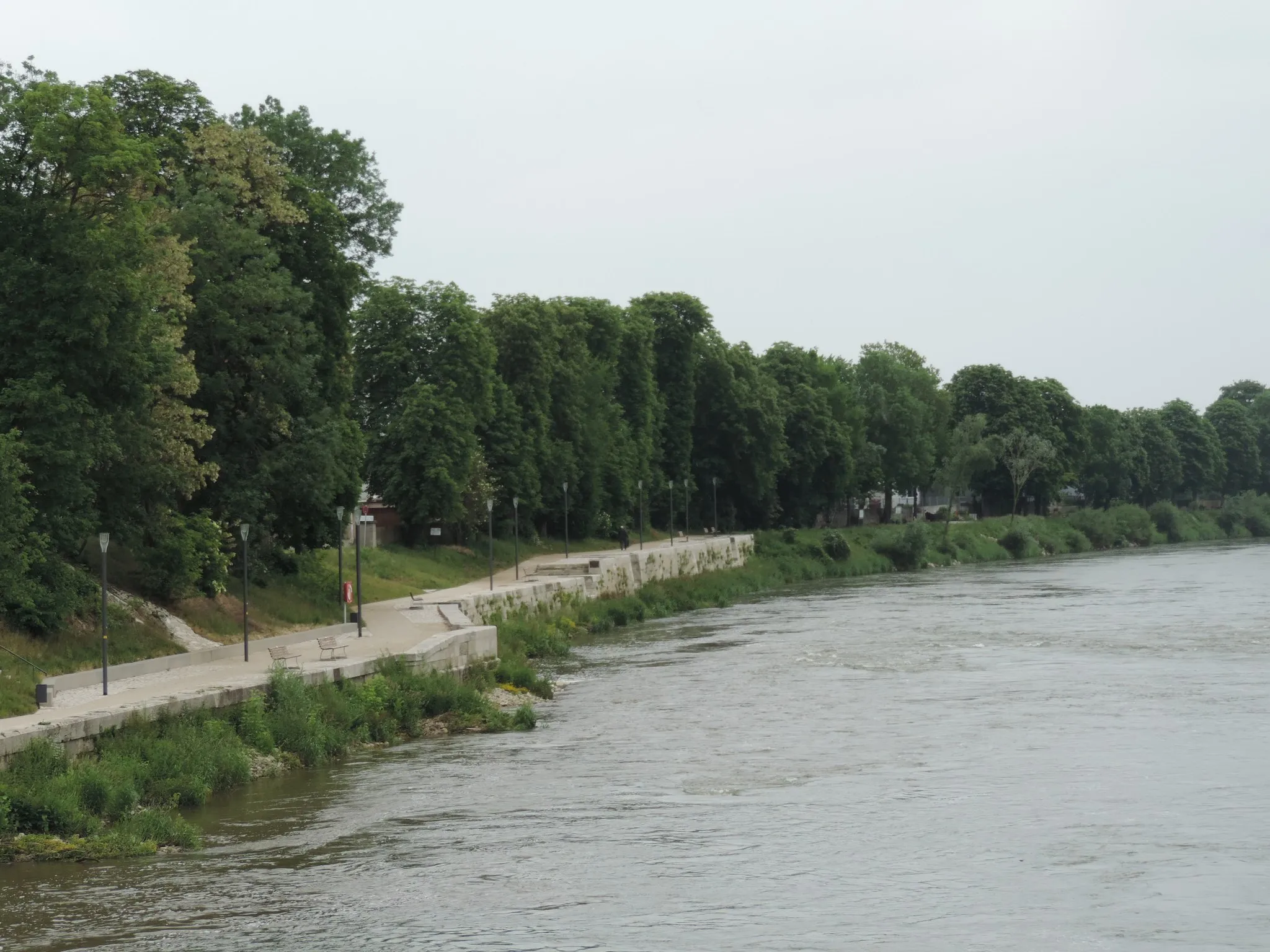
Start: Rain City centerRain: Tranquil Cycling Routes in Schwaben, Germany
Rain, located in Schwaben, Germany, is a cyclist-friendly locality with a mix of flat and hilly terrain. The area offers peaceful country roads, charming villages, and beautiful countryside, making it ideal for road and gravel cyclists. One notable cycling spot in the area is the River Lech Cycle Path, which passes through Rain and offers scenic views of the river and surrounding nature. Additionally, the locality is close to the Augsburg Forest, which has a network of mountain bike trails suitable for various skill levels. With its tranquil atmosphere and cycling-friendly infrastructure, Rain is a great destination for cyclists of all abilities.0 km
0 km
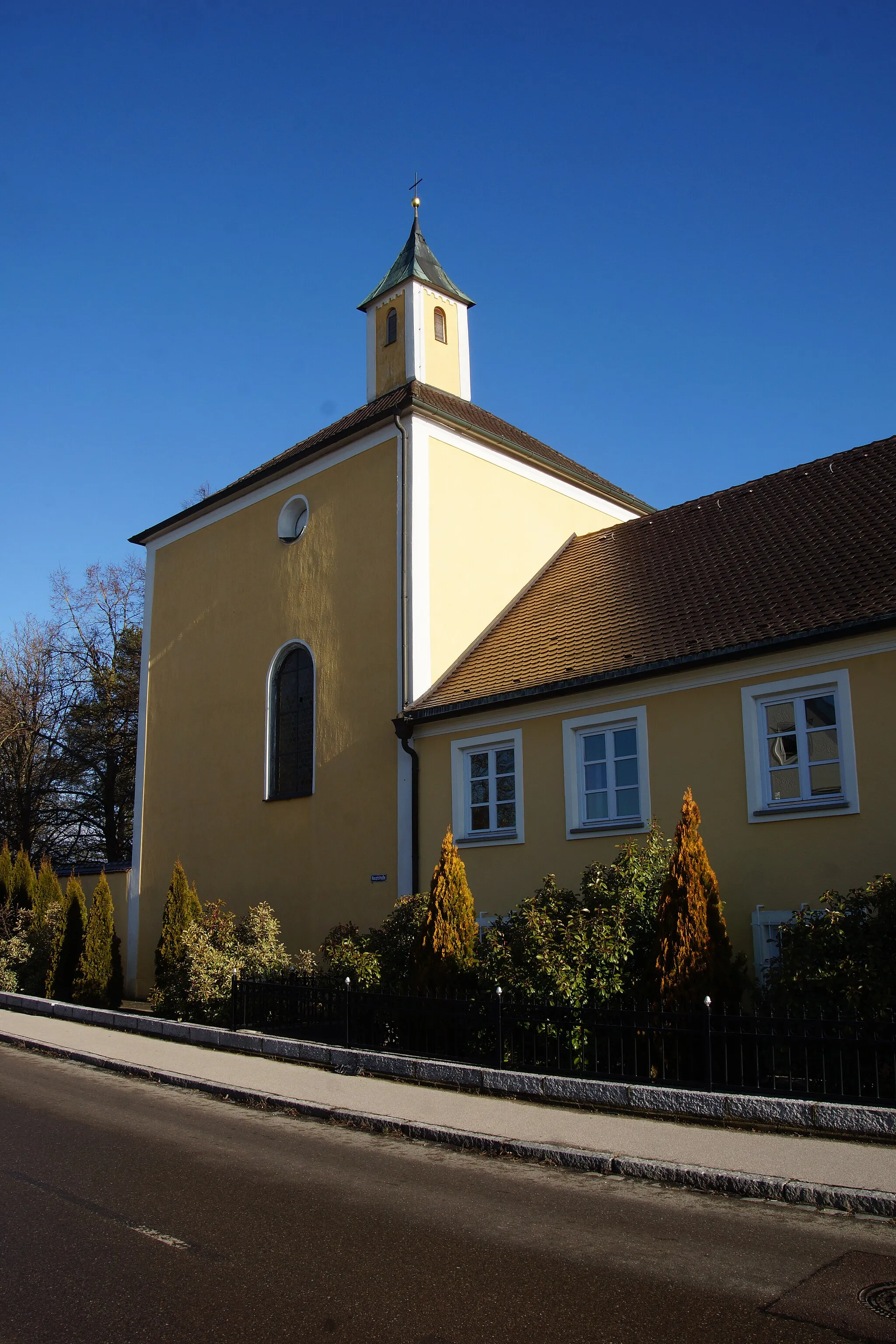
RainTownRain is a historical town with charming streets and cultural landmarks.
7 km
7 km
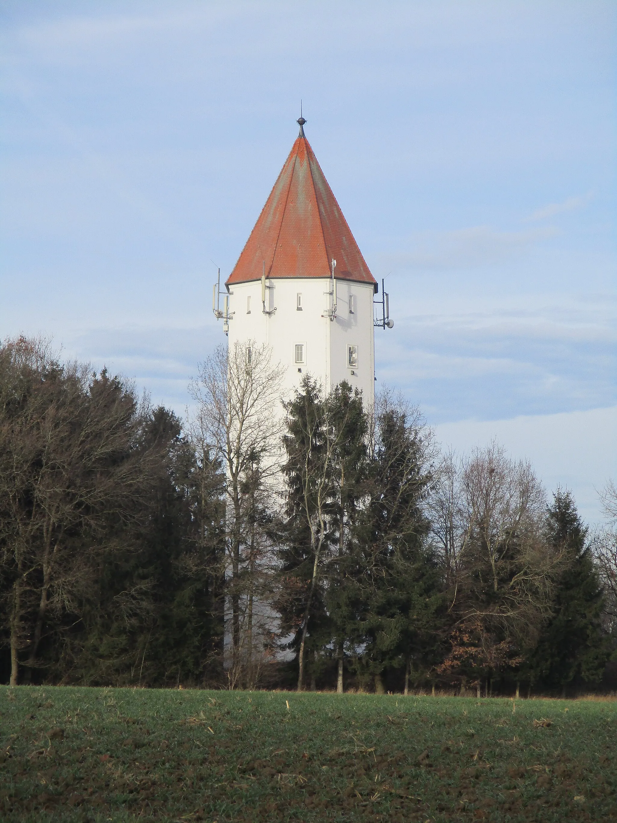
Weinberg420 mPeakWeinberg boasts scenic vineyards and rolling hills.
21 km
21 km
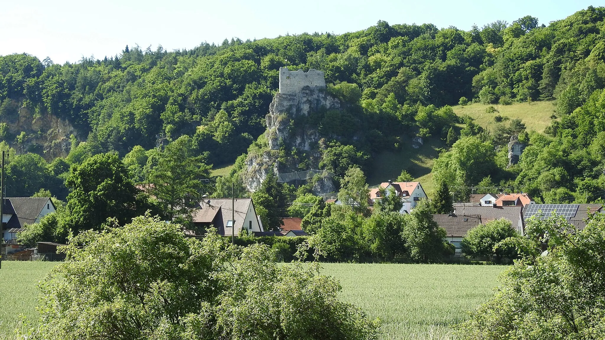
GalgenbergViewpointGalgenberg offers panoramic views of the countryside and is a great lookout point.
22 km
22 km
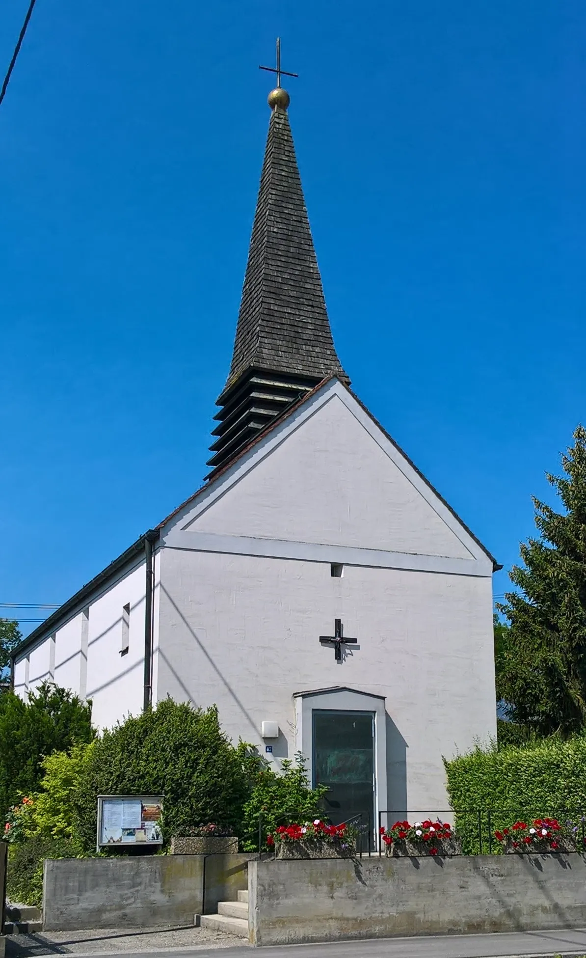
PöttmesTownPöttmes features charming architecture and traditional Bavarian countryside.
36 km
36 km
HollenbachVillageHollenbach presents a tranquil charm amidst green landscapes.
46 km
46 km
Nadelberg517 mPeakNadelberg is a small settlement with a rich farming history.
54 km
54 km
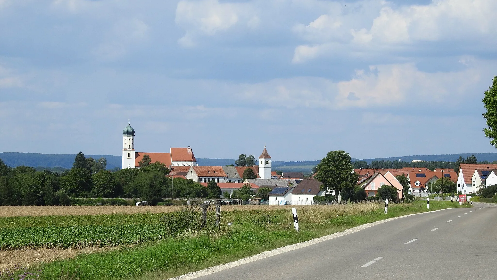
GersthofenTownGersthofen is a vibrant Mittleater town with historical landmarks.
75 km
75 km
NordendorfVillageNordendorf offers a peaceful rural getaway with a rich agricultural heritage.
89 km
89 km
GenderkingenVillageGenderkingen offers stunning rural landscapes and a glimpse into rural Bavarian life.
93 km
93 km
Finish: Rain City centerRain: Tranquil Cycling Routes in Schwaben, Germany
Cycling routes from Rain:
Rain and its surrounding villages Rain Loop: Landscapes and Historical Sites Schwaben Burgheim Loop Gravel Adventure to Pöttmes Leisurely Schwaben Exploration Idyllic Schwaben Countryside Historical Route from Rain to Gersthofen Historical Gravel Ride through Wellheim Nature Park Rain and Beyond Gravel Loop Marxheim to Niederschönenfeld Gravel Adventure Schwaben Round-Trip: From Rain to Genderkingen
Cycling routes nearby: