The Scenic Gravel Trail
A gravel cycling route starting from Weissenhorn
Discover picturesque landscapes on this gravel trail near Weißenhorn
Map
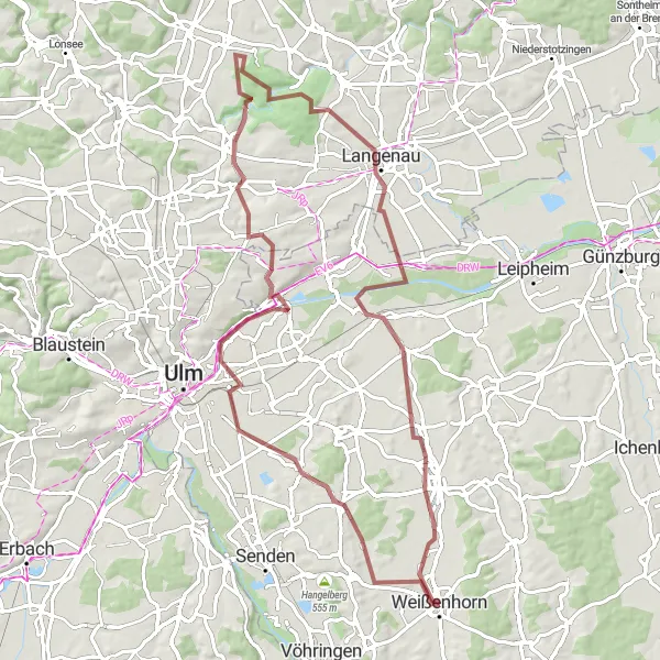
Take a 79-kilometer gravel adventure through the scenic landscapes near Weißenhorn. With a total ascent of 429 meters, this route offers a moderate challenge suitable for cyclists of all levels. Along the way, you'll encounter highlights such as Rosenberg, Böfinger Halde, and Langenau. Rosenberg is a quaint village with beautiful architecture and a peaceful atmosphere. Böfinger Halde offers stunning views of the surrounding countryside and is a popular destination for hikers and cyclists. In Langenau, you can explore the historic town center and admire its charming streets. The route ends in Pfaffenhofen an der Roth, a town known for its picturesque setting along the Roth River.
gravel
79 km
429 m
Tough
Route profile
Highlights on the route
0 km
0 km
Start: Weißenhorn City centerWeißenhorn: Cycling through the scenic countryside of Schwaben, Germany.
Weißenhorn, located in Schwaben, Germany, offers a pleasant cycling experience with its beautiful countryside and well-maintained roads. Cyclists can enjoy scenic rides through farmland, rolling hills, and charming villages. With its numerous cycling routes, like the Drei-Käs Oberharthausen loop or the Donauriedenhafen route, Weißenhorn is a popular destination for road and gravel cyclists. One well-known cycling spot near Weißenhorn is the climb up to Rißtaler Sattel, which offers stunning views of the surrounding landscape. Overall, Weißenhorn is a great locality for cyclists with its diverse terrain and cycling-friendly infrastructure.0 km
0 km
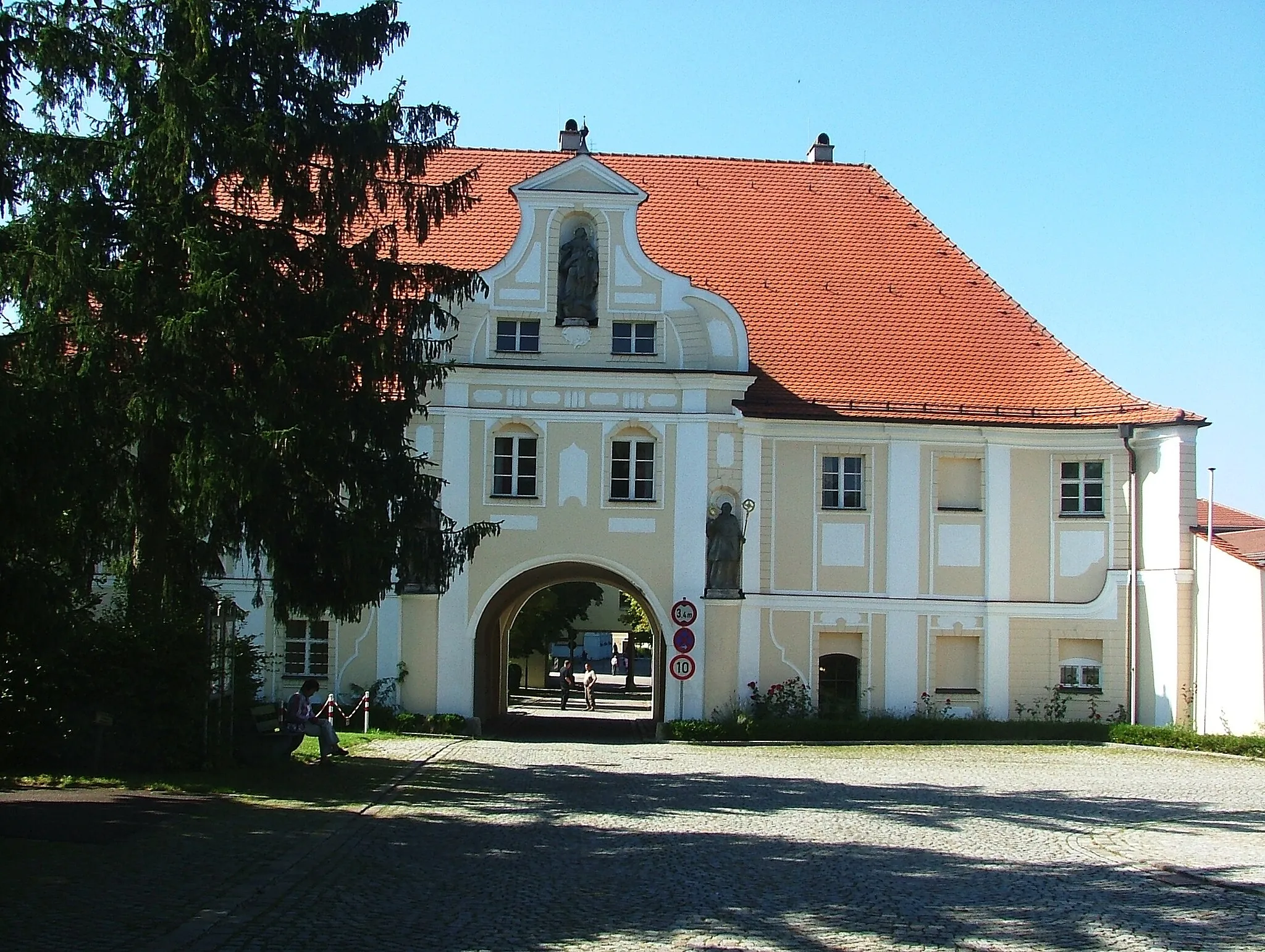
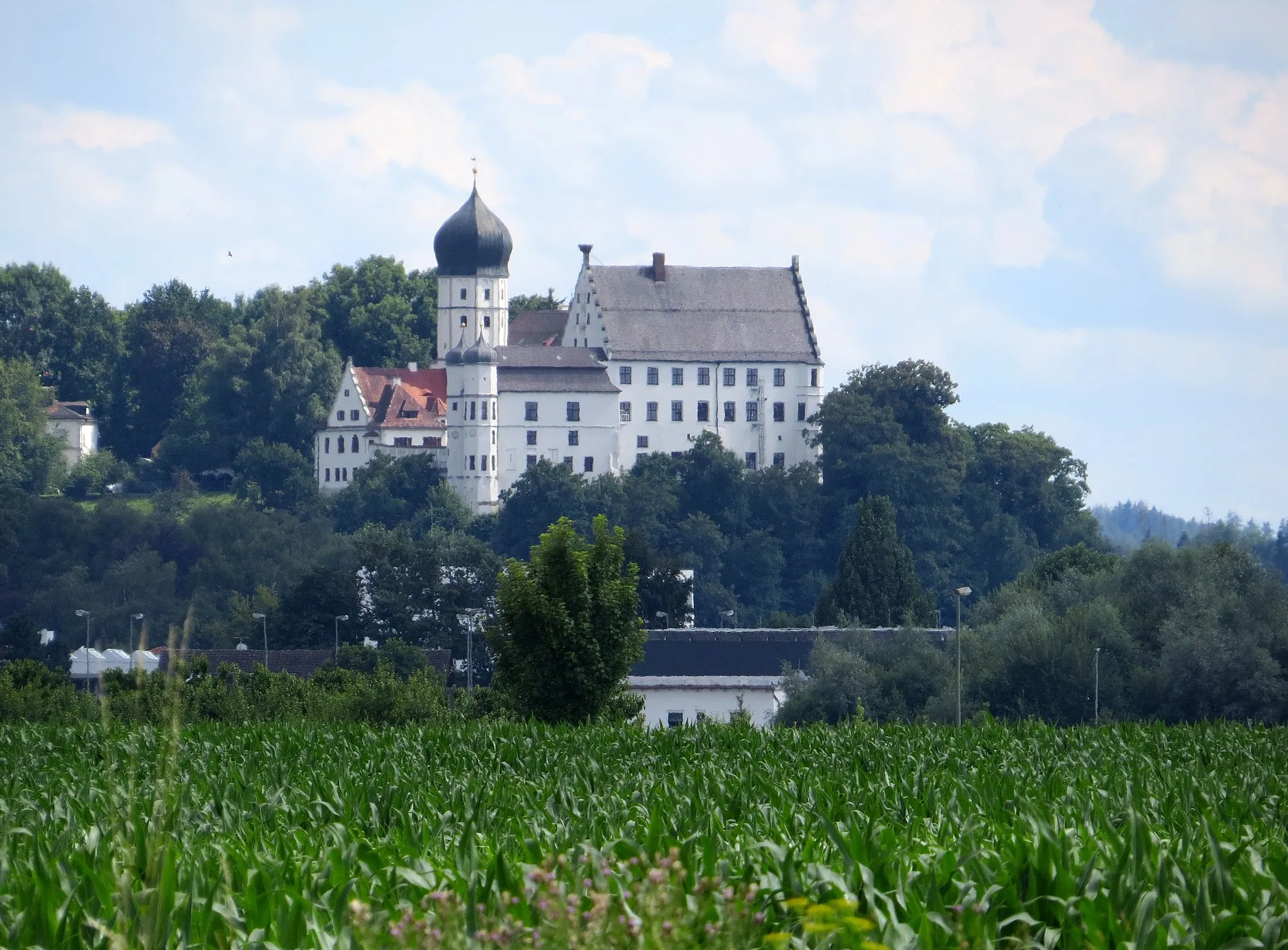
WeißenhornTownWeißenhorn is a charming town with a rich history and picturesque architecture. Take a moment to explore its medieval center.
11 km
11 km
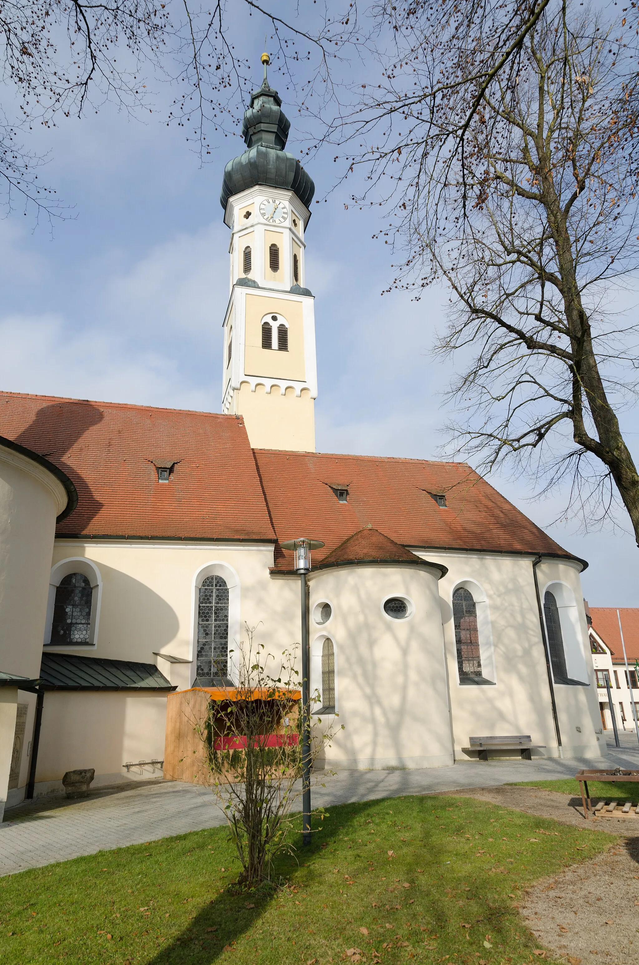
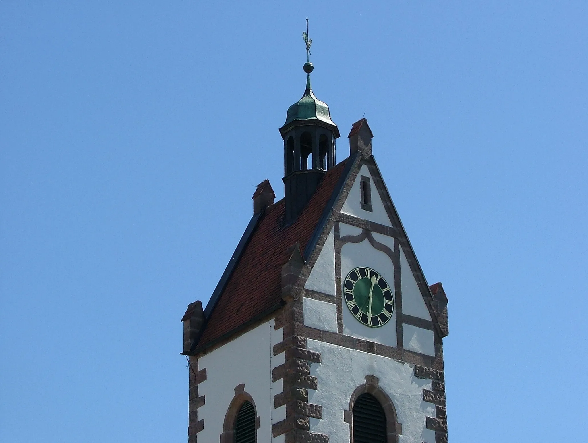
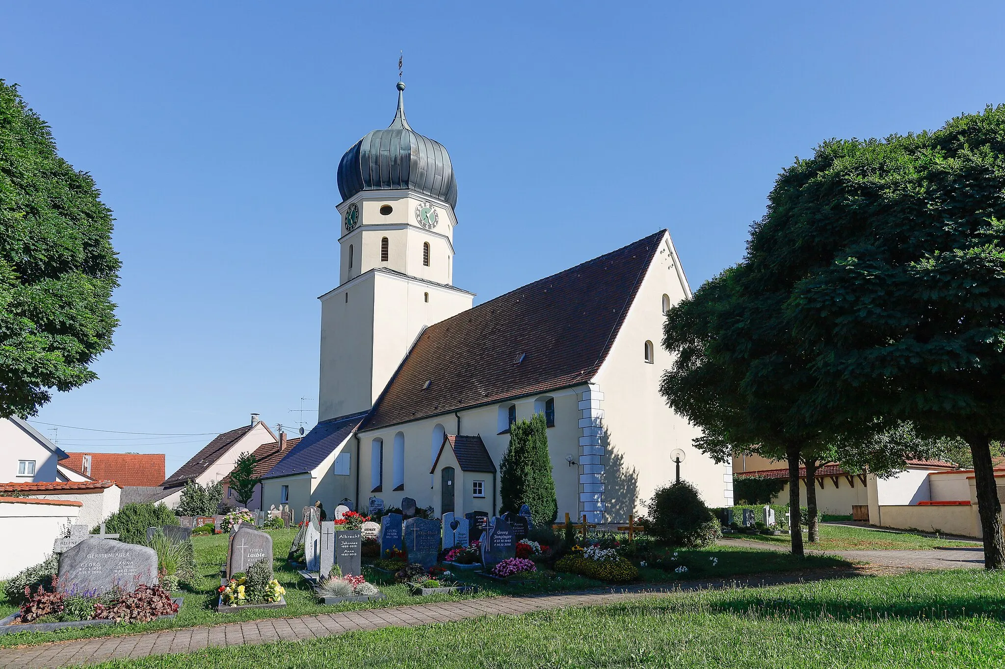
Rosenberg503 mPeakRosenberg is a picturesque village with beautiful architecture and a peaceful atmosphere. Enjoy a break at one of its cozy cafes.
21 km
21 km
Böfinger HaldeViewpointBöfinger Halde offers panoramic views of the surrounding landscapes. Capture the beauty of the rolling hills and meadows.
21 km
21 km
BöfingenSub-urbBöfingen is a small village with a tranquil atmosphere. Enjoy a moment of serenity and indulge in the peacefulness of the surrounding nature.
41 km
41 km
NeenstettenVillageNeenstetten is a charming village known for its traditional houses and picturesque setting.
52 km
52 km
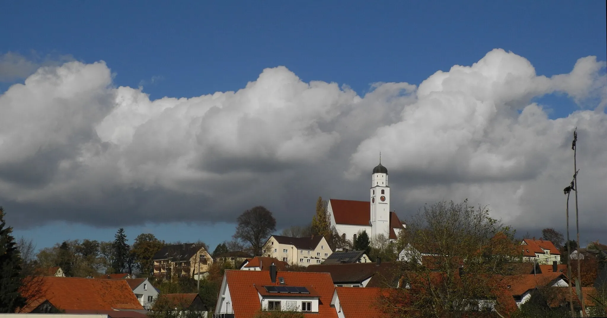
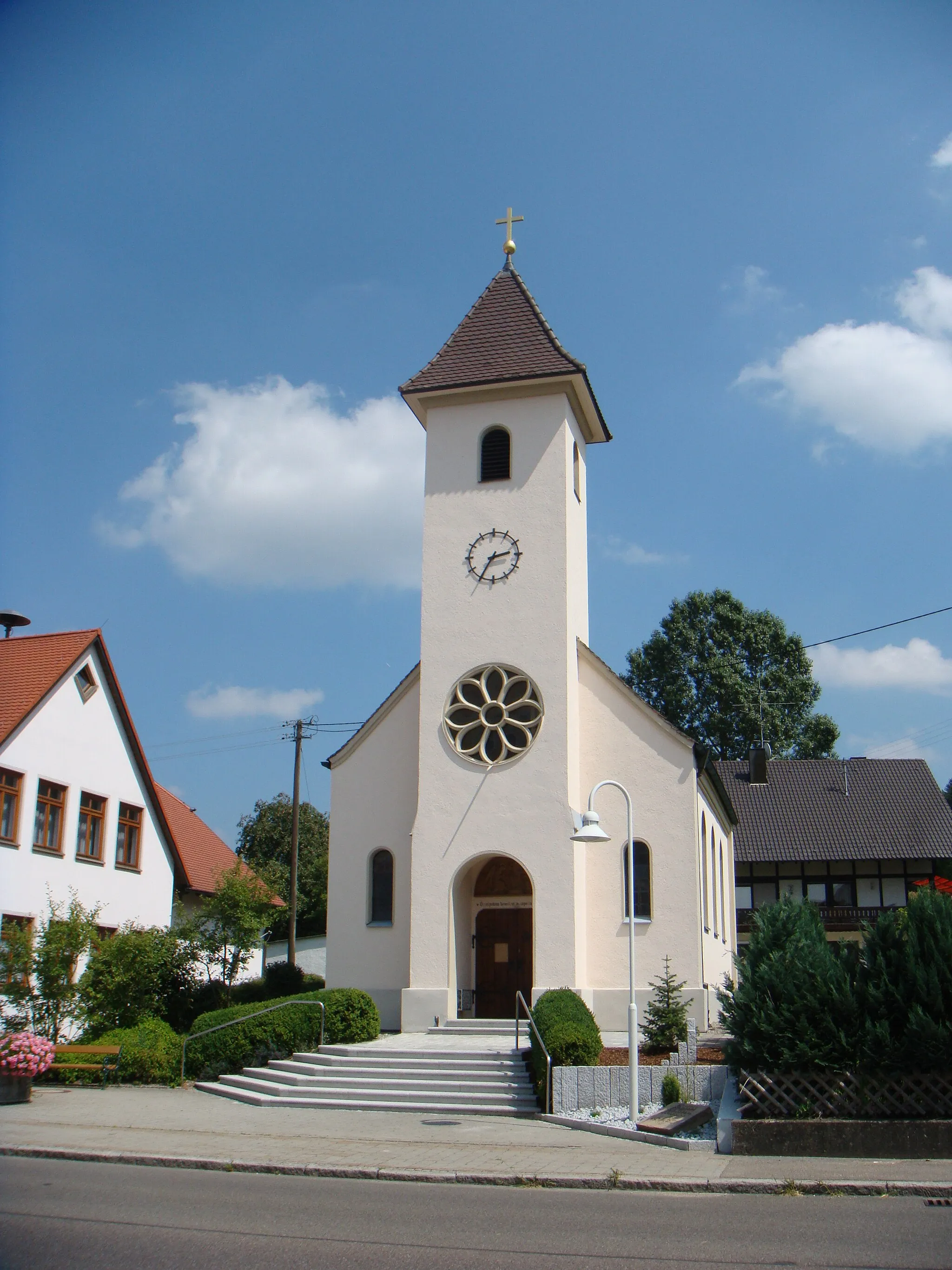
LangenauTownLangenau invites you to explore its historic town center and discover its rich history through its architecture.
72 km
72 km
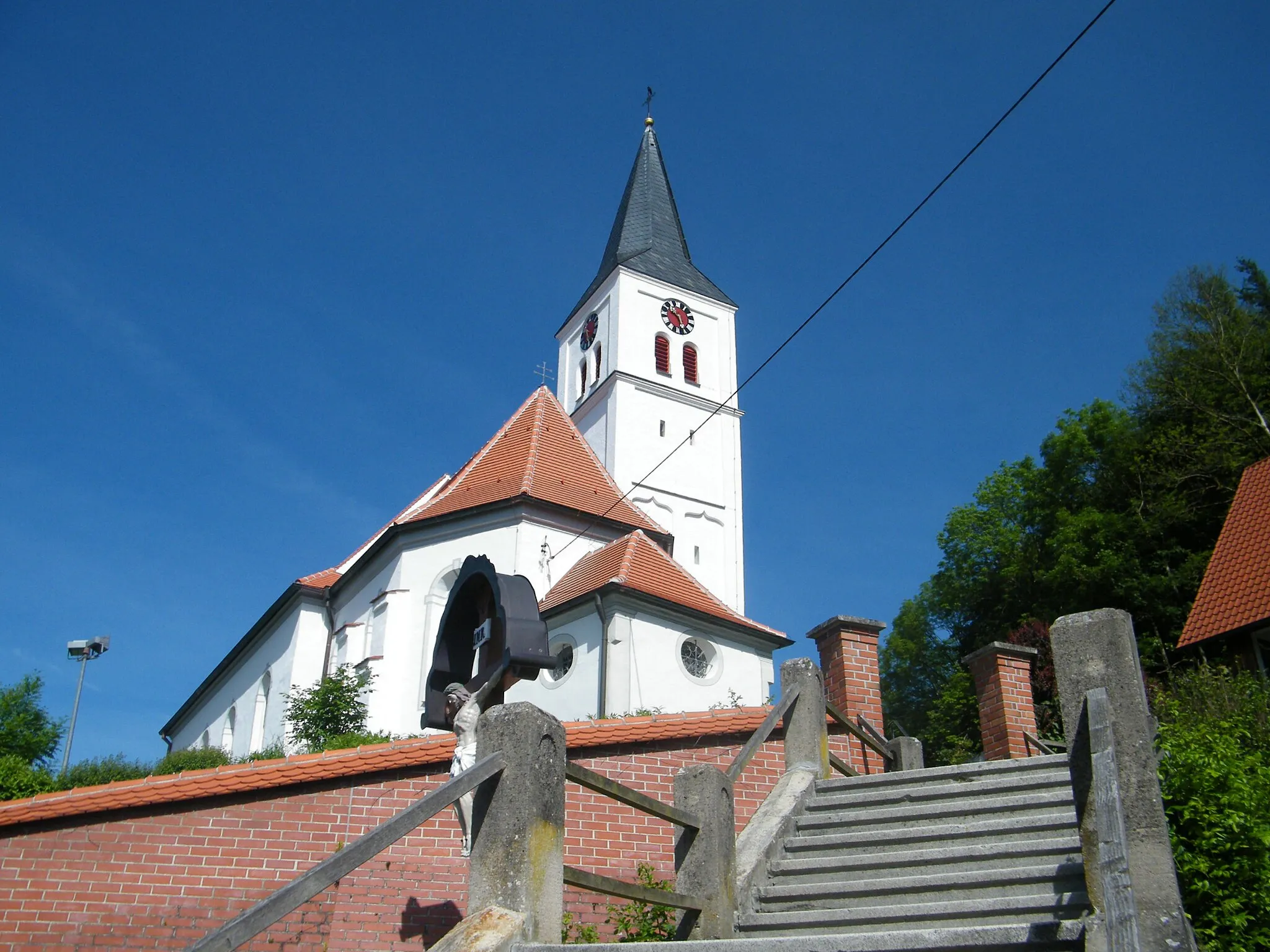
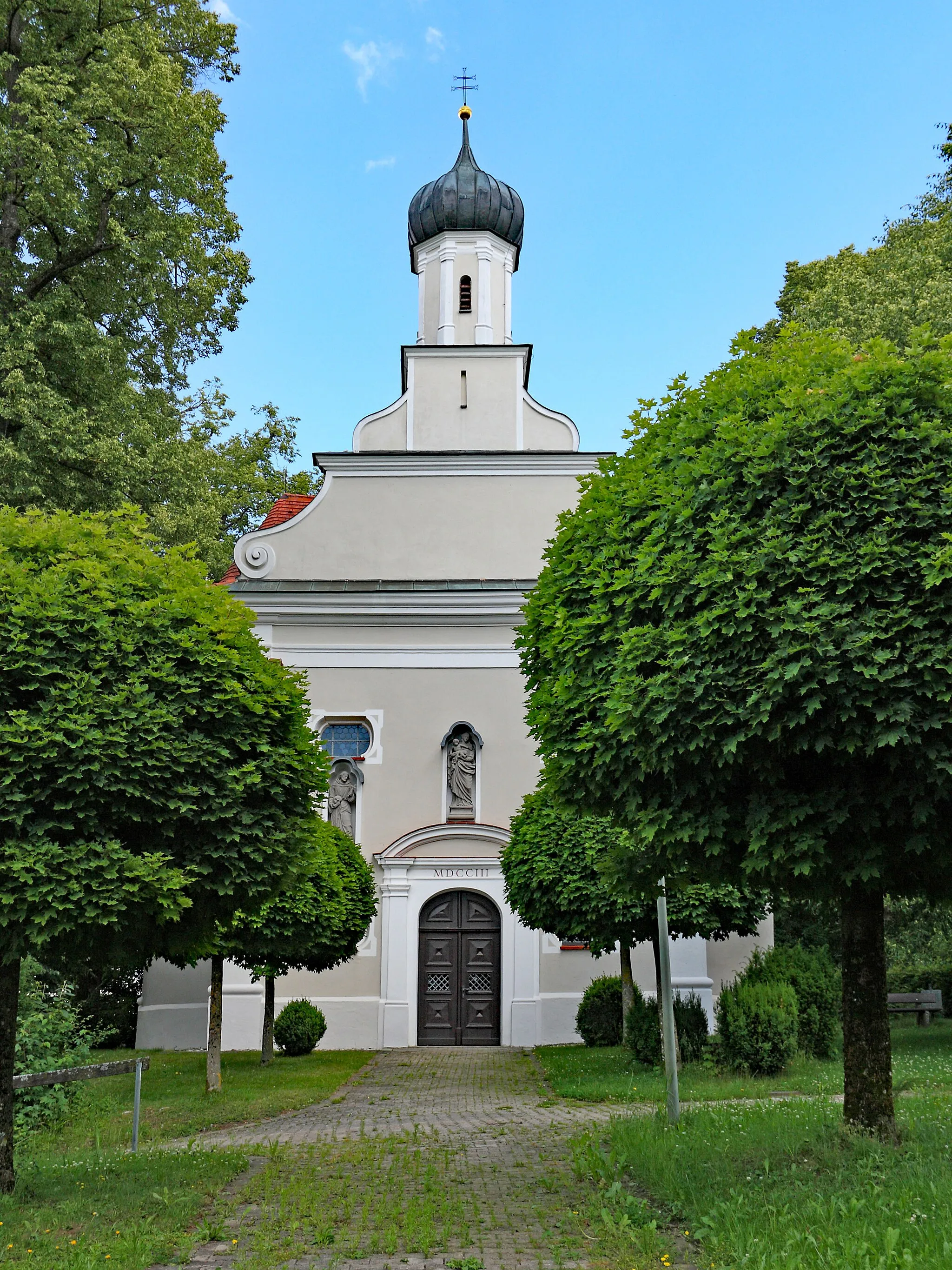
Pfaffenhofen an der RothVillagePfaffenhofen an der Roth is a picture-perfect town located along the beautiful Roth River. Stroll along its promenade and soak in the scenic views.
79 km
79 km
Finish: Weißenhorn City centerWeißenhorn: Cycling through the scenic countryside of Schwaben, Germany.
Cycling routes from Weissenhorn:
Pfaffenhofen Gravel Loop Weißenhorn Gravel Adventure Weißenhorn - Kleinkötz - Haldenwang - Zusmarshausen - Wasserscheide Zusam/Mindel - Münsterhausen - Deisenhausen - Roggenburg - Oberes Tor Günztal Panorama Route Roggenburg Loop Weißenhorn - Buch - Osterberg - Balzheim - Illerrieden Weißenhorn Loop Weißenhorn - Vöhringen - Illerkirchberg - Kreuzberg - Ulm - Stadtmauer - Rosenberg - Holzschwang - Hegelhofen Weißenhorn - Schloßberg - Buchberg - Nersingen - Silheim - Niederhausen The Gravel Adventure Weißenhorn to Roggenburg Cycling Route The Rugged Road Trip The Castle and Hillside Journey The Scenic Gravel Trail The Countryside Escape The Gravel Adventure
Cycling routes nearby: