Scenic Road Cycling Adventure
A road cycling route starting from Schorndorf
A scenic road route with stunning viewpoints
Map
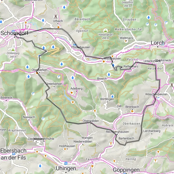
This 41 km road route takes you through scenic landscapes, offering stunning viewpoints along the way. With an ascent of 545 m, this ride is suitable for intermediate cyclists who want to enjoy the beauty of the area without overly challenging climbs. The highlights along the route add to the overall experience, providing opportunities to take in the breathtaking surroundings. So hop on your bike and embark on a scenic road cycling adventure.
road
41 km
545 m
Chill
Route profile
Highlights on the route
0 km
0 km
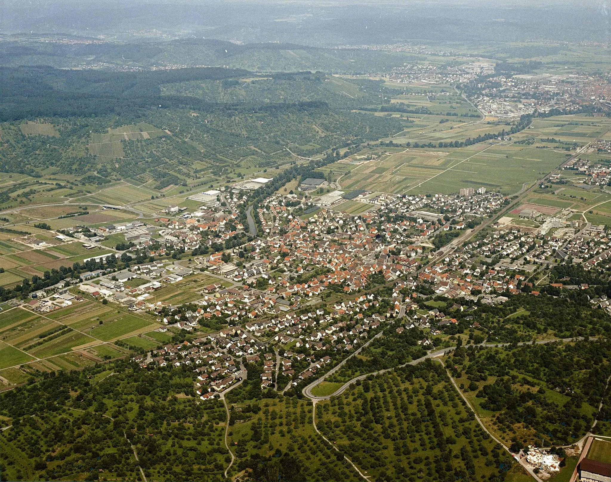
Start: Schorndorf City centerSchorndorf: Serene cycling in beautiful Schorndorf
Schorndorf, located in Stuttgart, Germany, offers a great cycling experience for both road and gravel enthusiasts. The locality features well-maintained bike paths and quiet roads, making it ideal for exploratory rides. Schorndorf is blessed with diverse landscapes, including rolling hills and vineyards, providing cyclists with breathtaking views throughout their rides. While not known for any famous climbs, Schorndorf offers a variety of cycling routes suitable for different skill levels. The town itself is charming, with its historic buildings and cozy atmosphere, making it a pleasant place to start and end cycling adventures.6 km
6 km
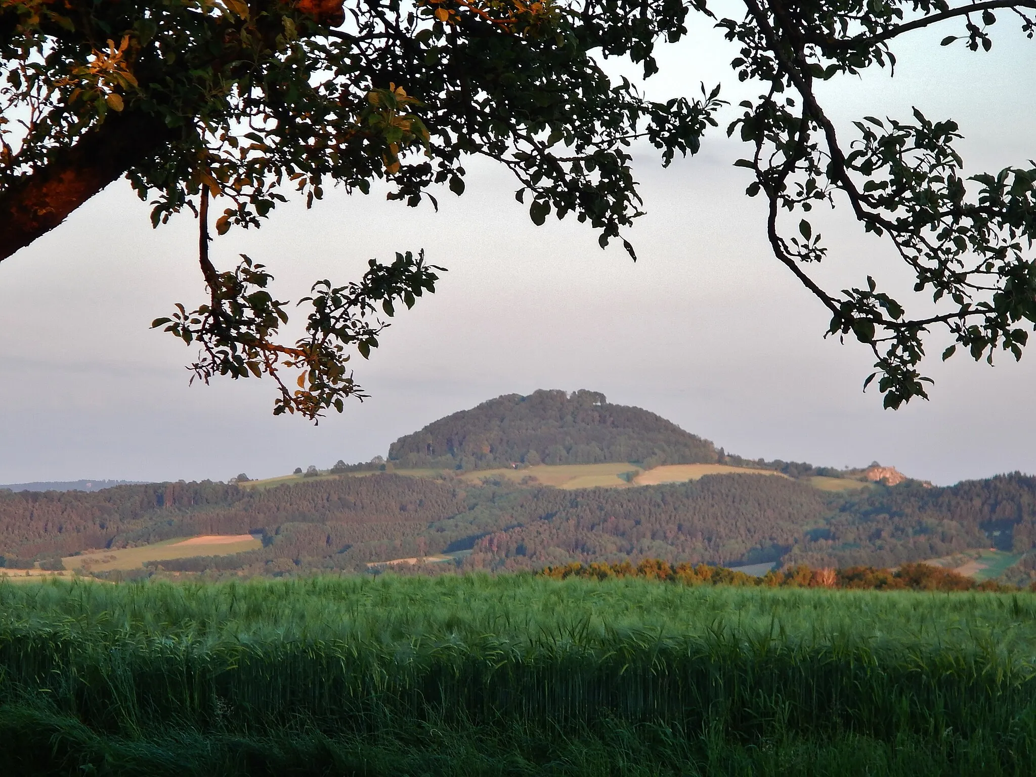
Hochzeitsturm Station 6ViewpointHochzeitsturm Station 6, located at 6 km, is a popular lookout point that provides panoramic views of the surrounding area.
13 km
13 km
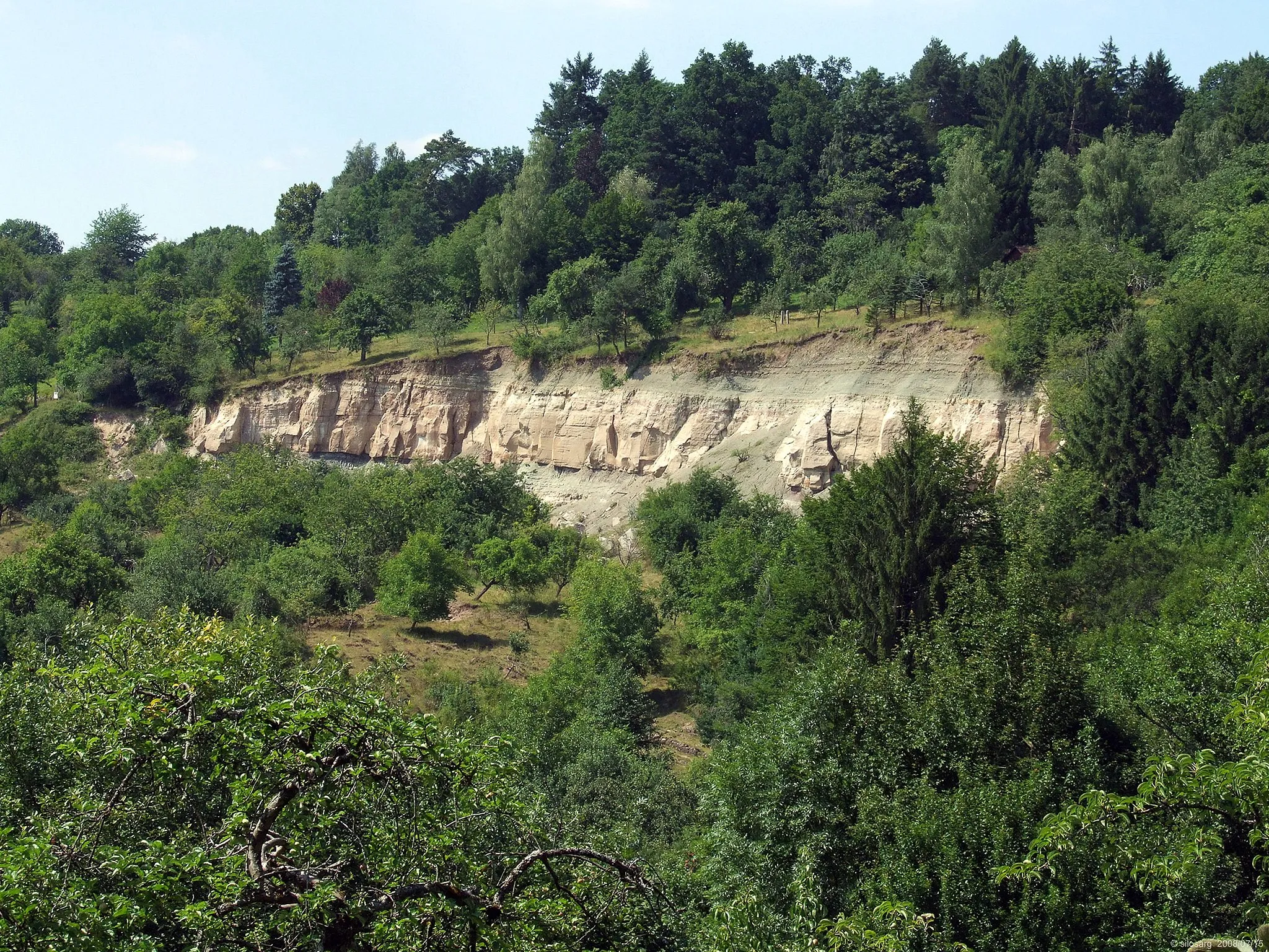
RattenharzVillageRattenharz, at 13 km, is a serene reservoir surrounded by lush greenery, creating a peaceful atmosphere.
25 km
25 km
Aussichtsturm "Luftikus"ViewpointAussichtsturm "Luftikus", at 25 km, offers magnificent views of the surrounding landscape from its sky-high vantage point.
25 km
25 km
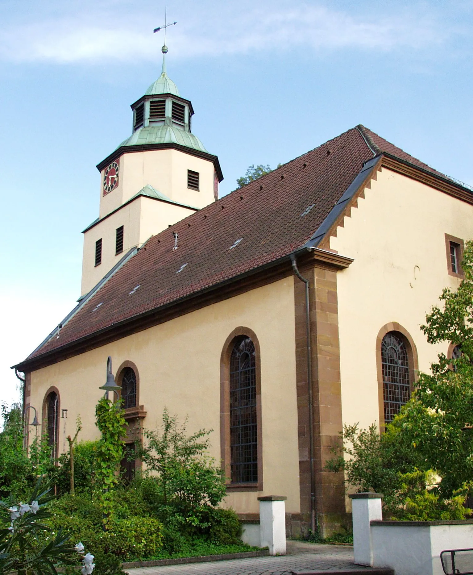
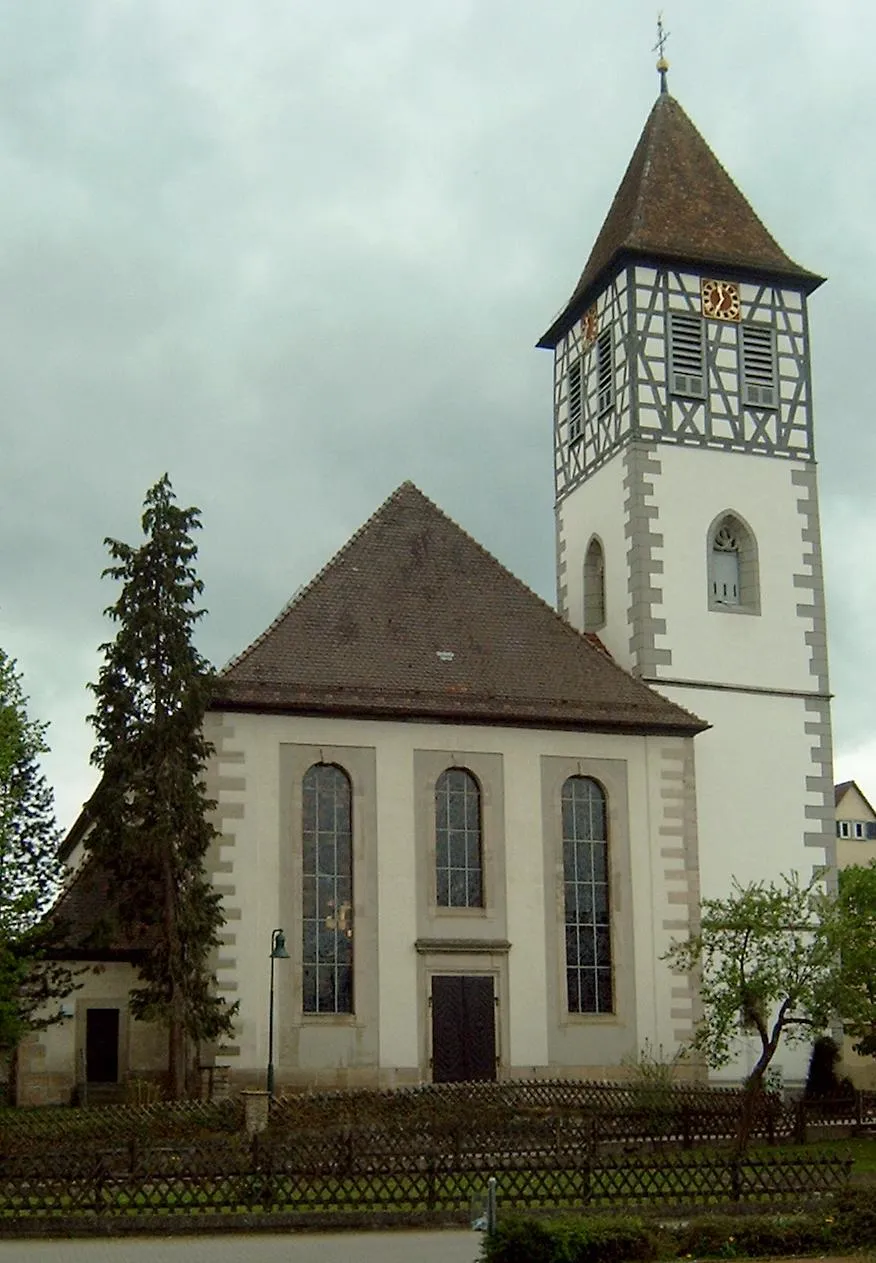
RechberghausenVillageRechberghausen, at 25 km, is a charming village with traditional architecture and stunning countryside.
36 km
36 km
Hintere Schur513 mPeakAt the 36 km mark, you'll find Hintere Schur, which offers a panoramic view of the surrounding valleys and mountains.
41 km
41 km
SchorndorfTownThe route ends in Schorndorf, where you can explore the town's rich history and vibrant culture.
41 km
41 km
Finish: Schorndorf City centerSchorndorf: Serene cycling in beautiful Schorndorf
Cycling routes nearby: