Challenging Climbs and Scenic Landscapes
A road cycling route starting from Spiegelberg
Conquer the exhilarating climbs and enjoy breathtaking views on this road biking adventure near Spiegelberg
Map
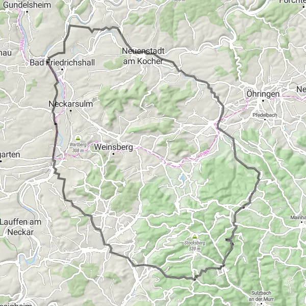
Get ready for a thrilling road biking experience near Spiegelberg. This route encompasses a challenging ascent of 1,143 meters and covers a distance of 92 kilometers. Along the way, you'll be rewarded with stunning vistas, charming villages, and thrilling descents. Highlights include the Juxkopf, a legendary climb, and the beautiful town of Beilstein with its medieval charm.
road
92 km
1143 m
Tough
Route profile
Highlights on the route
0 km
0 km
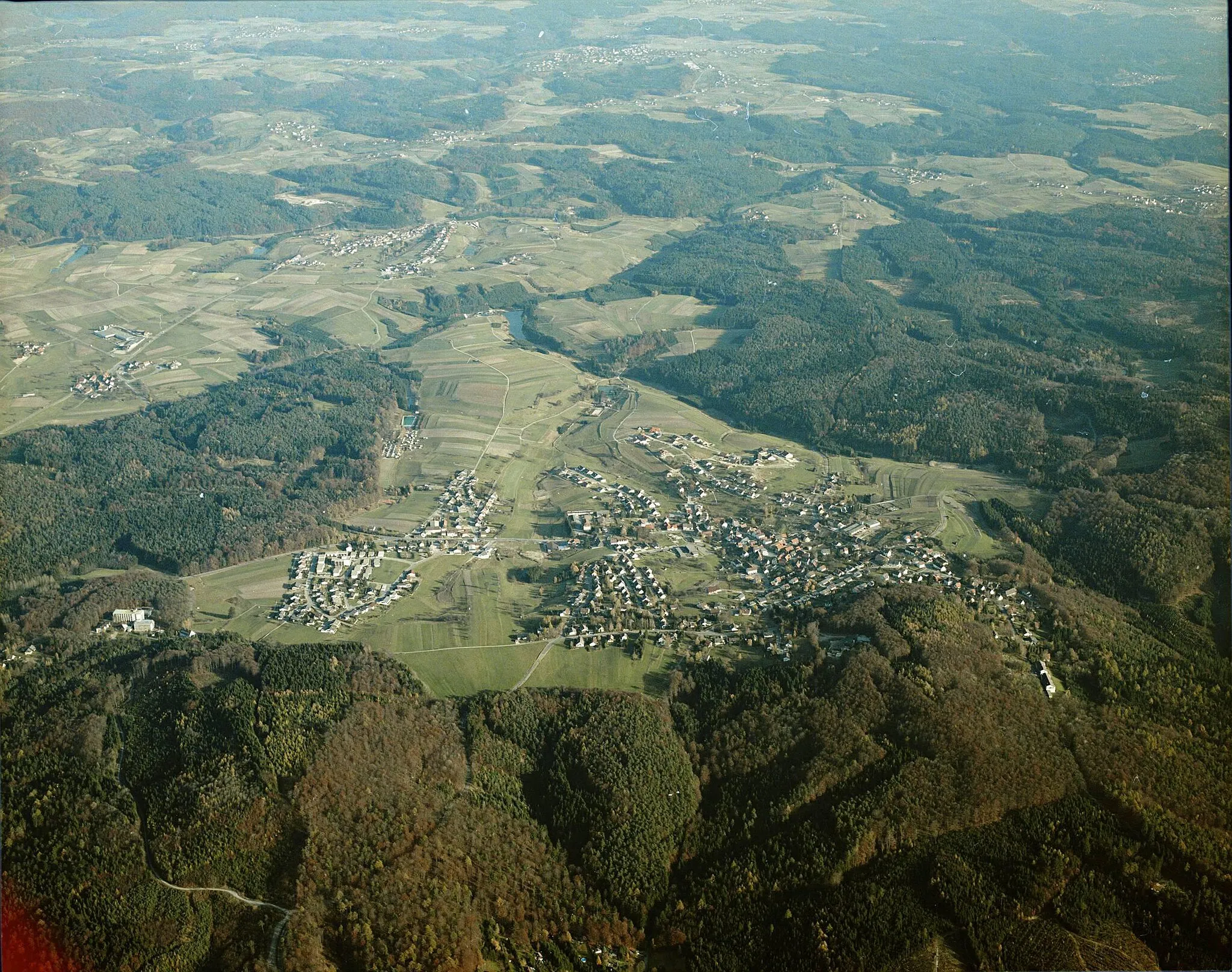
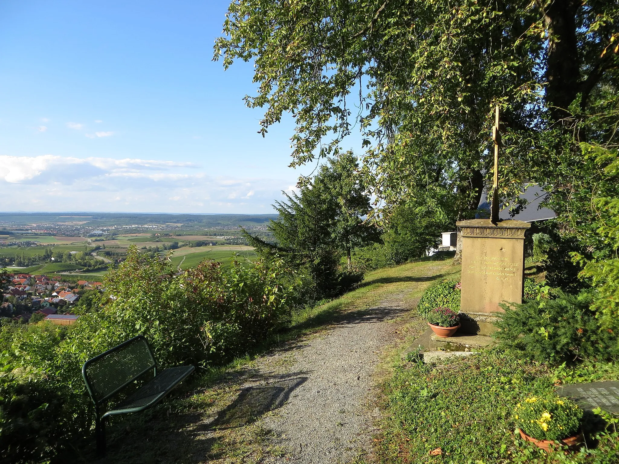
Start: Spiegelberg Village centerSpiegelberg: Cyclist's paradise in Stuttgart, Germany.
Spiegelberg in Stuttgart, Germany is a cyclist-friendly locality with a combination of flat and hilly terrain. The region offers picturesque countryside and well-maintained cycling routes. Cyclists in Spiegelberg can enjoy the scenic views while challenging themselves with some of the region's climbs, such as the Hohenasperg. The locality is also close to the Neckar Valley, providing additional cycling options along the riverbanks. Overall, Spiegelberg is a great destination for road and gravel cyclists looking for both challenging routes and scenic landscapes.1 km
1 km
Juxkopf533 mPeakThe Juxkopf is the first significant climb on the route but offers limited visual rewards.
12 km
12 km
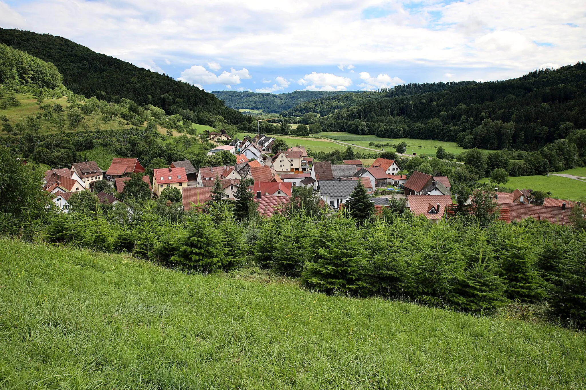
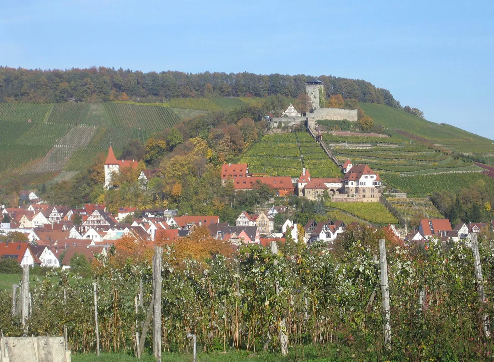
BeilsteinTownAt the 12-kilometer mark, Beilstein enchants with its cobblestone streets and well-preserved medieval architecture.
23 km
23 km
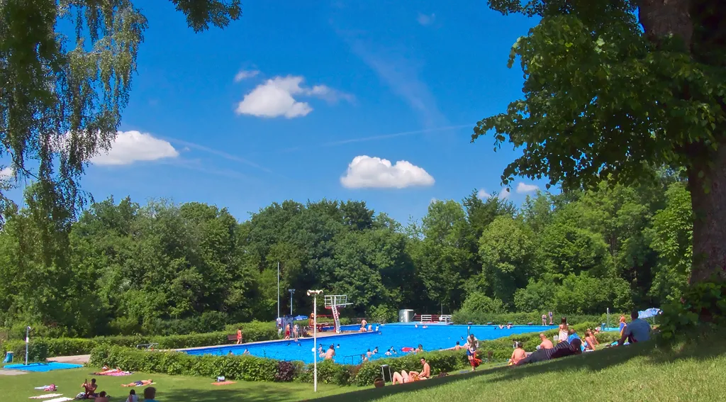
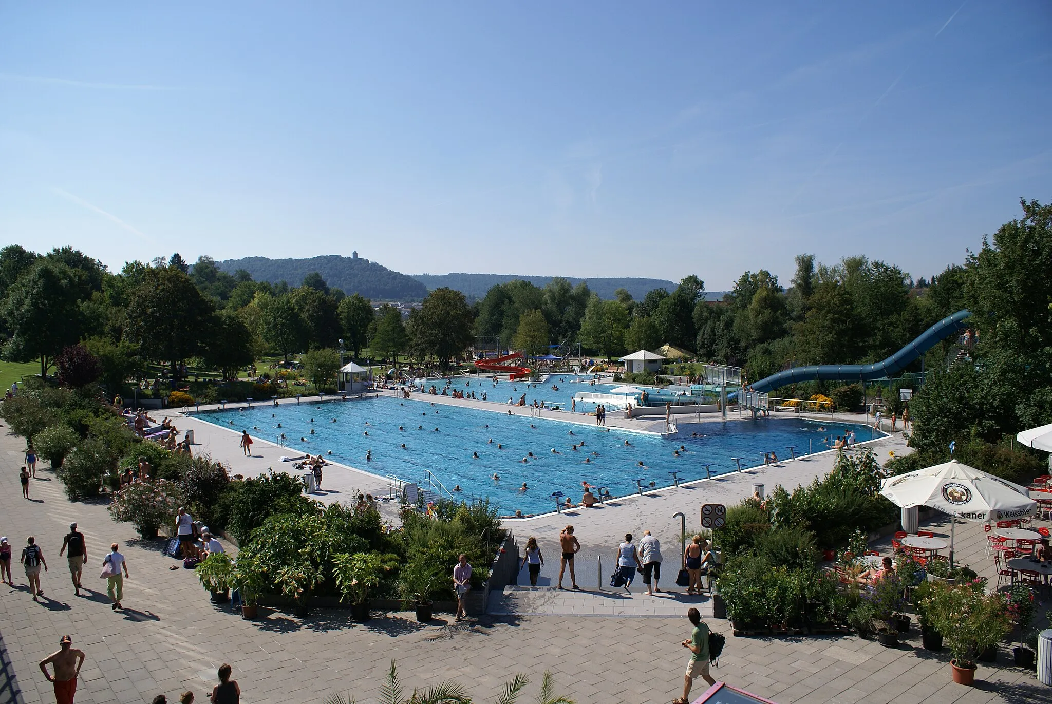
FleinVillageFlein offers a perfect spot to pause and recharge with its cozy cafes and scenic surroundings.
24 km
24 km
Hagelsberg265 mPeakExperience the thrill of descending from the 24-kilometer mark, Hagelsberg, with panoramic views of the countryside.
40 km
40 km
Mittelberg213 mPeakMittelberg is a must-visit for its tranquil atmosphere and stunning views of the rolling hills.
43 km
43 km
Bad FriedrichshallTownBad Friedrichshall invites cyclists to explore its rich history and visit the charming Old Town.
57 km
57 km
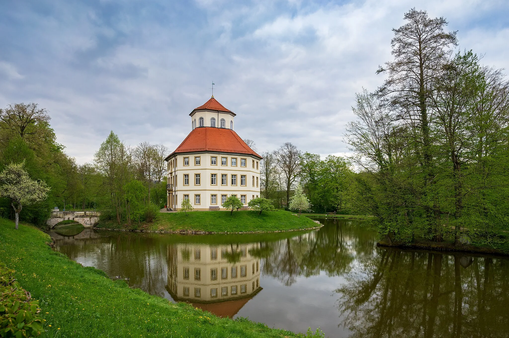
Neuenstadt am KocherTownNeuenstadt am Kocher is home to the beautiful Schloss Neuenstadt garden, perfect for a leisurely stroll.
70 km
70 km
BretzfeldVillageBretzfeld is known for its wine culture, offering opportunities for wine tasting at local vineyards.
80 km
80 km
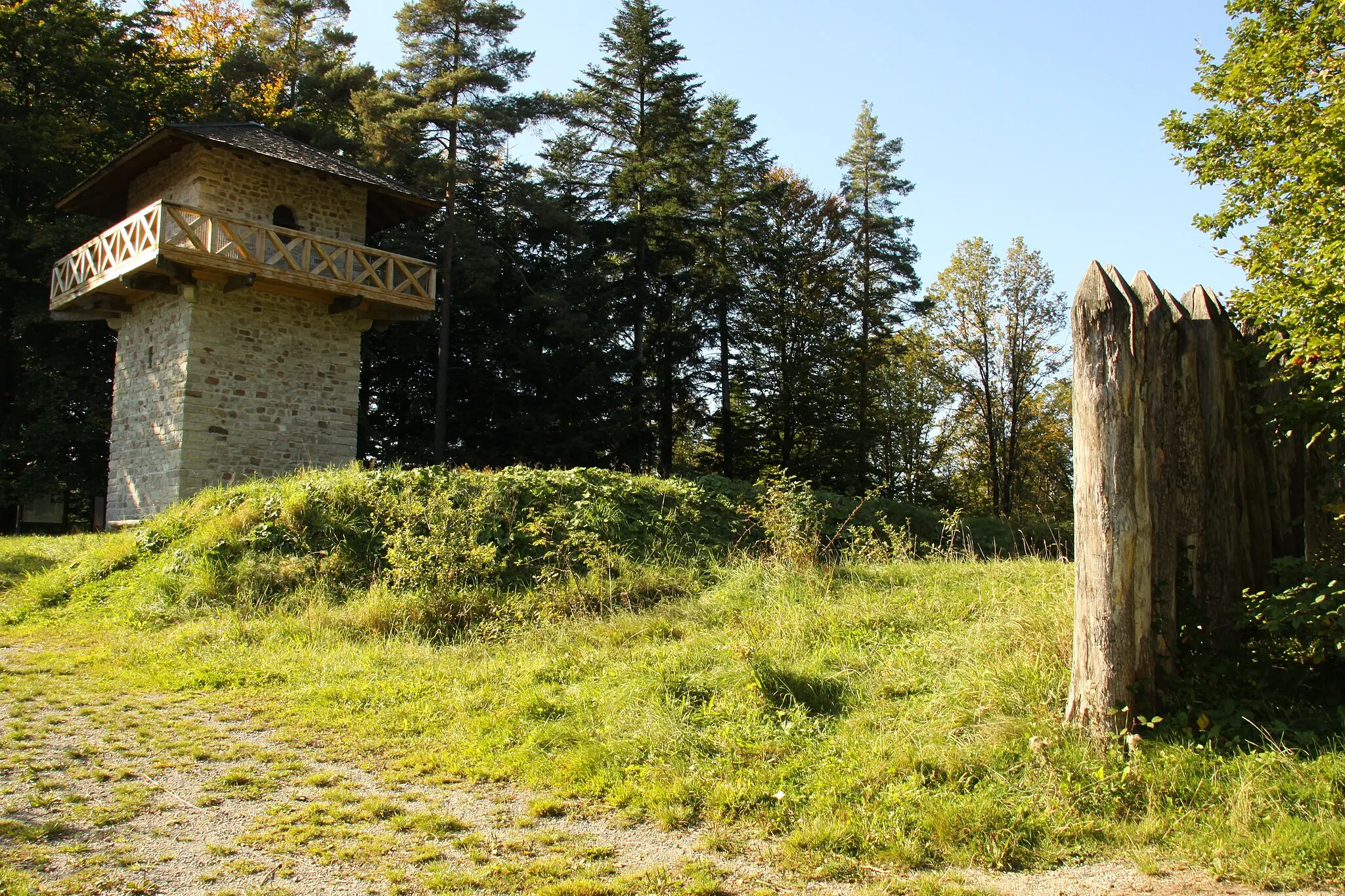
SteinknickleturmViewpointAt the 80-kilometer mark, the Steinknickleturm provides panoramic views of the surrounding landscape.
92 km
92 km
SpiegelbergVillageSpiegelberg, the starting and finishing point, is a quaint village surrounded by rolling hills and picturesque landscapes.
92 km
92 km
Finish: Spiegelberg Village centerSpiegelberg: Cyclist's paradise in Stuttgart, Germany.
Cycling routes from Spiegelberg:
Gravel Route: The Hills and Valleys Adventure Road Route: Rolling Hills and Picturesque Landscapes Gravel Route: Charming Vineyards and Scenic Tracks Road Route: The Valley to Plateau Excursion The Hills of Spiegelberg The Großerlach Loop The Murr Valley Adventure The Spiegelberg Crusade Road Route: Hidden Gems and Serene Landscapes Hidden Hills of Großhöchberg Challenging Climbs and Scenic Landscapes Gravel Adventure around Spiegelberg
Cycling routes nearby: