Gravel Adventure through Challenging Terrain
A gravel cycling route starting from Bad Liebenstein
Embark on a thrilling gravel adventure through rugged terrain and discover hidden gems near Bad Liebenstein.
Map
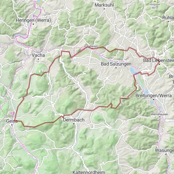
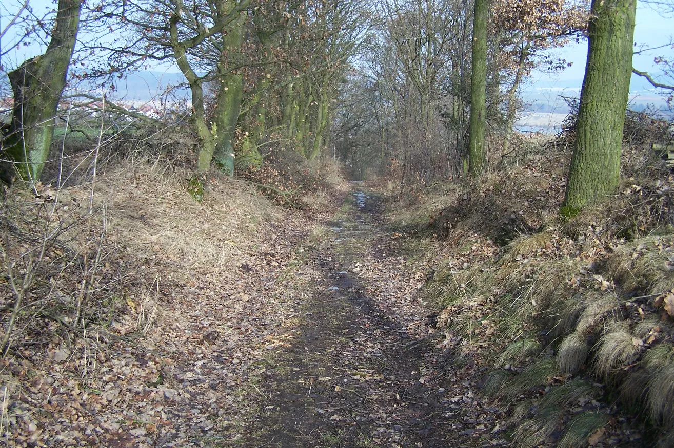
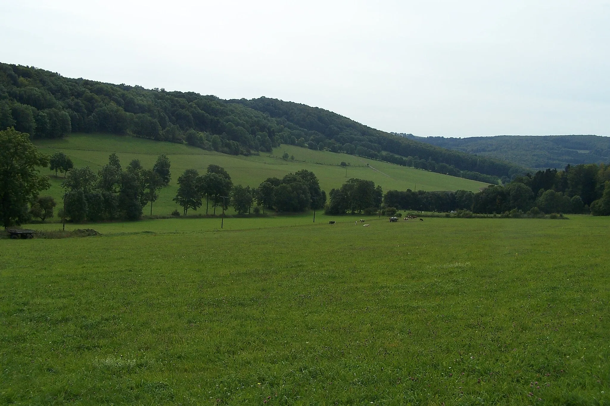
This challenging gravel cycling route takes you through diverse terrain and offers breathtaking views along the way. With a total ascent of 1675 meters and a distance of 85 kilometers, it is recommended for experienced cyclists. Highlights of this route include Immelborn, where you can explore the historic village and enjoy beautiful views, and the Krayenberg, a prominent hill known for its scenic vistas.
gravel
85 km
1675 m
Savage
Route profile
Highlights on the route
0 km
0 km
Start: Bad Liebenstein City centerBad Liebenstein: Challenging climbs and scenic routes in the picturesque Thüringer Wald.
Bad Liebenstein is a town located in the Thüringen region of Germany. From a cyclist's perspective, it offers a mix of challenging climbs and picturesque routes. The nearby Thüringer Wald region is known for its natural beauty and scenic cycling spots. The town itself has cyclist-friendly infrastructure, including bike paths and well-marked trails. One notable cycling location nearby is the Inselsberg, which offers a rewarding climb for experienced cyclists. Overall, Bad Liebenstein ranks as a 4 in terms of cycling friendliness and is recommended for cyclists seeking challenging rides in a stunning setting.7 km
7 km
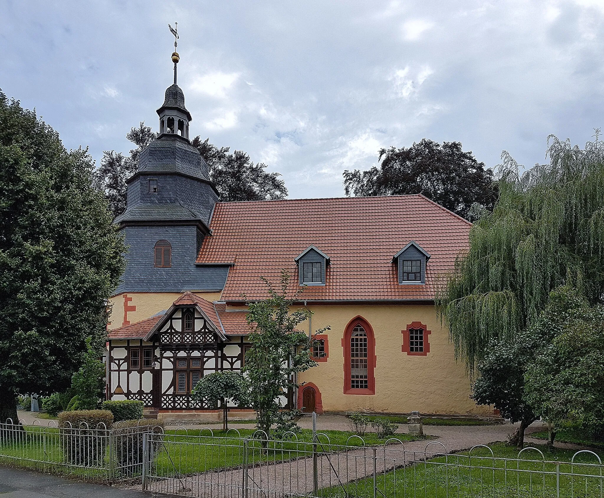
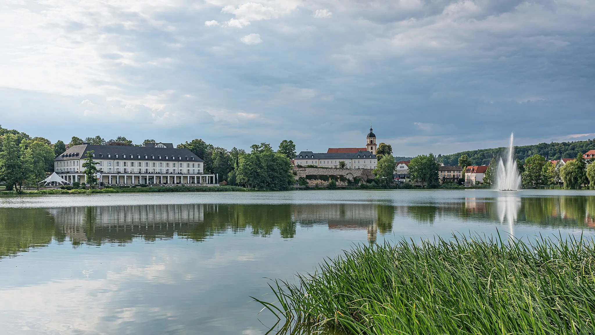
ImmelbornVillageImmelborn offers a scenic setting with beautiful views and historic buildings, including a medieval church.
16 km
16 km
Pleß645 mPeakPleß is known for its picturesque landscape and is a great spot for a picnic or short hike.
27 km
27 km
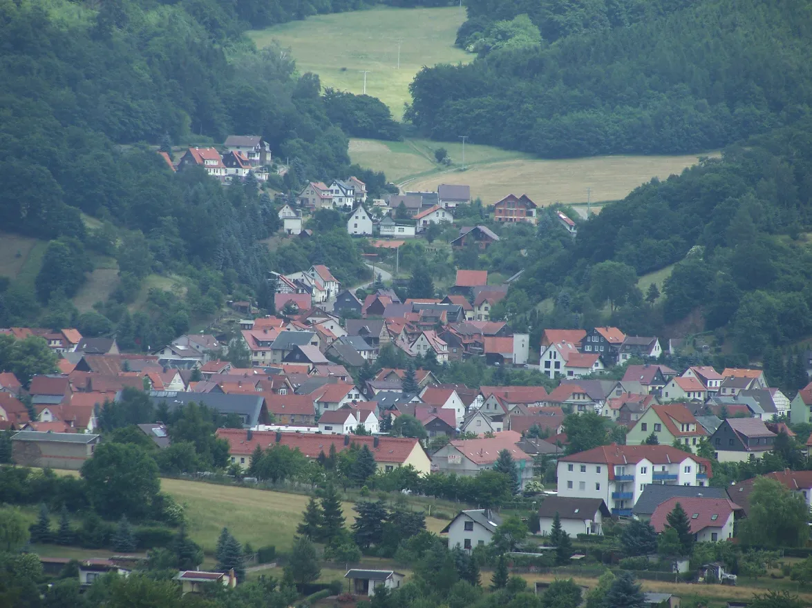
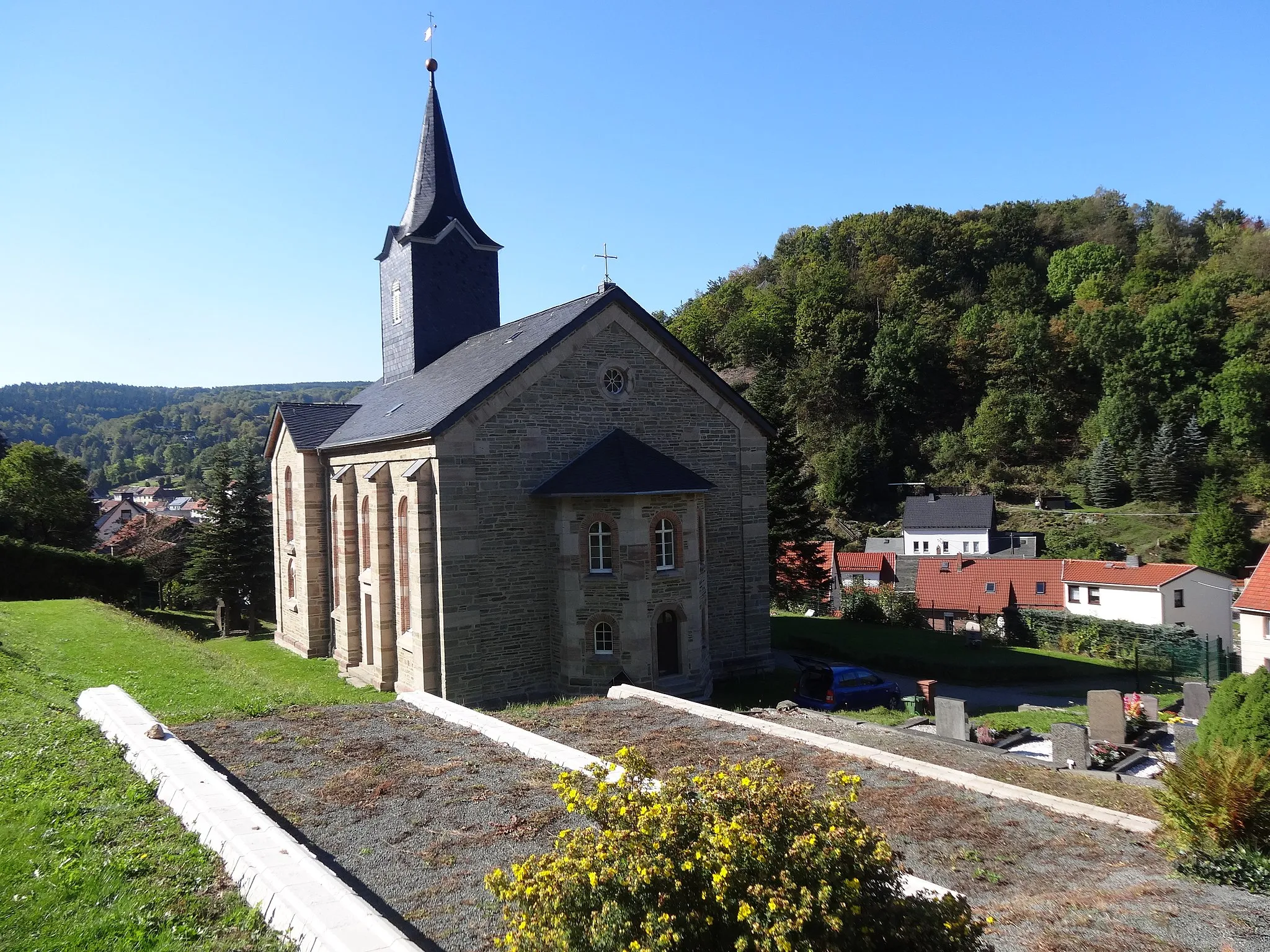
UnteralbaVillageExplore the tranquil village of Unteralba, surrounded by green fields and rolling hills.
31 km
31 km
Sachsenburg721 mPeakSachsenburg is a medieval castle ruins with panoramic views over the surrounding countryside.
39 km
39 km
Schleidsberg501 mPeakSchleidsberg is a popular viewpoint offering stunning vistas of the Thuringian Forest.
55 km
55 km
VölkershausenVillageVölkershausen is a charming village with traditional half-timbered houses and beautiful gardens.
65 km
65 km
Krayenberg428 mPeakKrayenberg offers panoramic views of the Thuringian Forest and is a popular spot for hiking and paragliding.
69 km
69 km
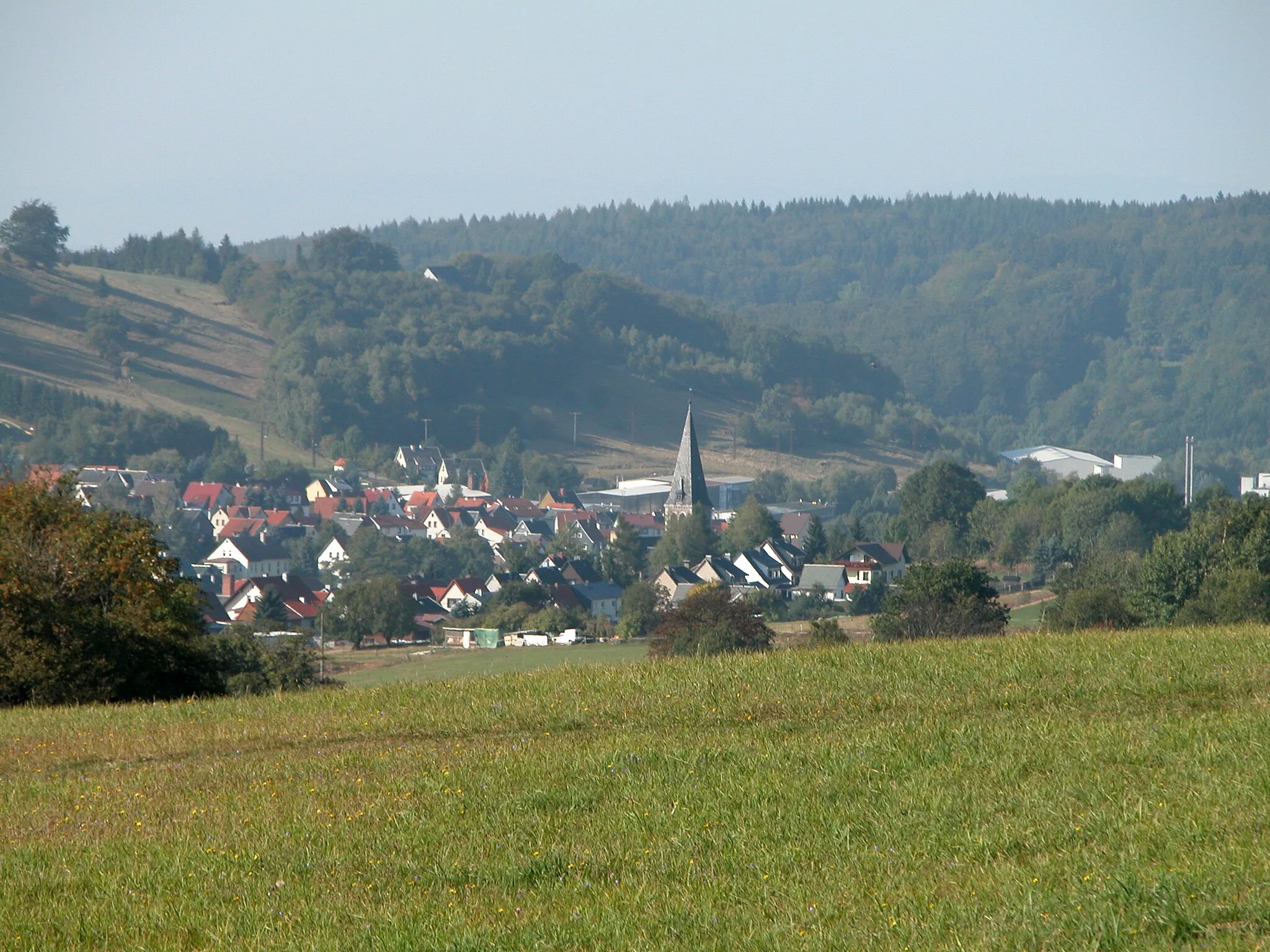
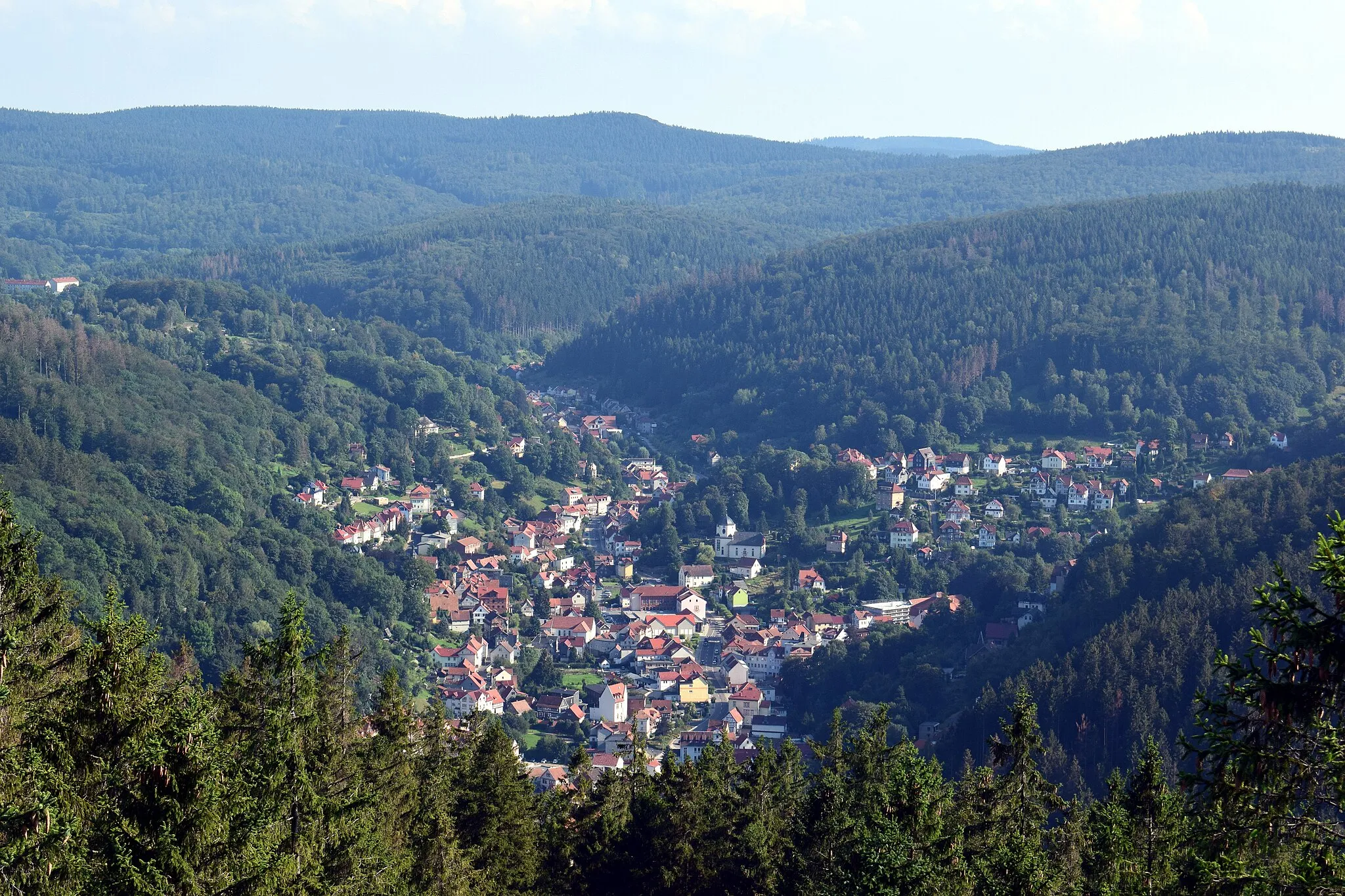
TiefenortVillageTiefenort is home to the impressive Tiefenort Suspension Bridge, offering panoramic views over the Werra Valley.
83 km
83 km
SchweinaSub-urbSchweina is a picturesque village located in the heart of the Thuringian Forest, known for its scenic beauty and outdoor activities.
84 km
84 km
Sauerberg347 mPeakSauerberg is a viewpoint with breathtaking panoramic views over the Thuringian Forest.
85 km
85 km
Finish: Bad Liebenstein City centerBad Liebenstein: Challenging climbs and scenic routes in the picturesque Thüringer Wald.
Cycling routes from Bad Liebenstein:
Thuringian Forest Exploration Picturesque Ride through Historic Villages Ultimate Thuringian Forest Experience Gravel Adventure through Thuringian Forest Historic Towns and Natural Beauty Cycling Route: Bad Liebenstein - Steinbach - Schmalkalden - Pelzelkopf - Breitungen/Werra - Dänischer Berg Gravel Adventure through Challenging Terrain Cycling Route: Bad Liebenstein - Sandberg - Schneeberg - Wasungen - Dänischer Berg Cycling Route: Bad Liebenstein - Mittelberg - Mechterstädt - Tambach-Dietharz - Weinberg Challenging Gravel Ride in Thuringian Forest A Gravel Adventure to Brotterode Adventures in the Thuringian Forest Steinberg and Thuringian Forest
Cycling routes nearby: