Picturesque Ride through Historic Villages
A road cycling route starting from Bad Liebenstein
Immerse yourself in the beauty of historic villages and lush landscapes on this picturesque road cycling route.
Map
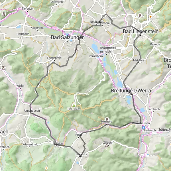
This road cycling route takes you through charming historic villages and offers stunning views of the surrounding countryside. With a total ascent of 722 meters and a distance of 56 kilometers, it is suitable for moderately experienced cyclists. Highlights of this route include the Dänischer Berg, a historic hill with panoramic views, and the Galgenberg, a popular spot for nature lovers.
road
56 km
722 m
Tough
Route profile
Highlights on the route
0 km
0 km
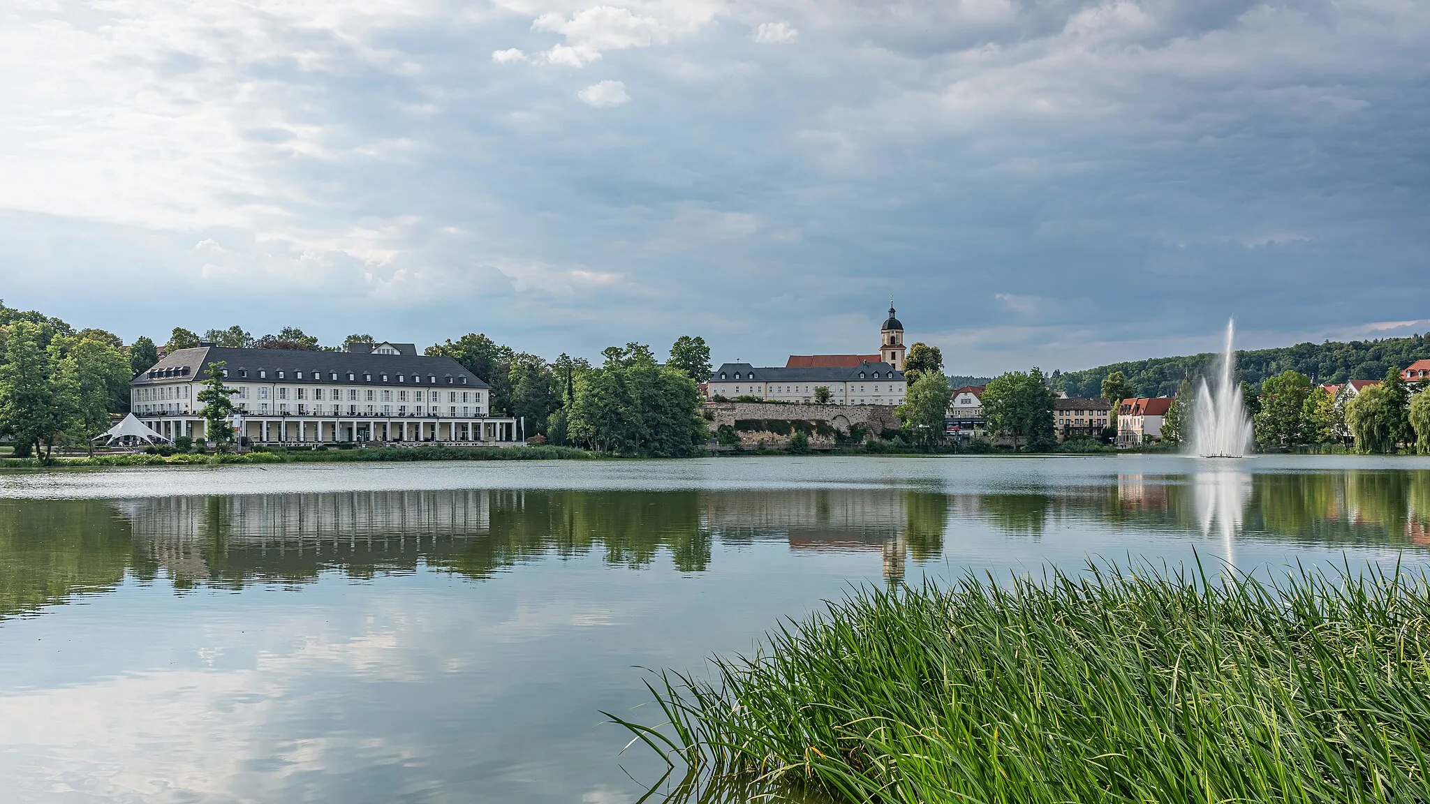
Start: Bad Liebenstein City centerBad Liebenstein: Challenging climbs and scenic routes in the picturesque Thüringer Wald.
Bad Liebenstein is a town located in the Thüringen region of Germany. From a cyclist's perspective, it offers a mix of challenging climbs and picturesque routes. The nearby Thüringer Wald region is known for its natural beauty and scenic cycling spots. The town itself has cyclist-friendly infrastructure, including bike paths and well-marked trails. One notable cycling location nearby is the Inselsberg, which offers a rewarding climb for experienced cyclists. Overall, Bad Liebenstein ranks as a 4 in terms of cycling friendliness and is recommended for cyclists seeking challenging rides in a stunning setting.4 km
4 km
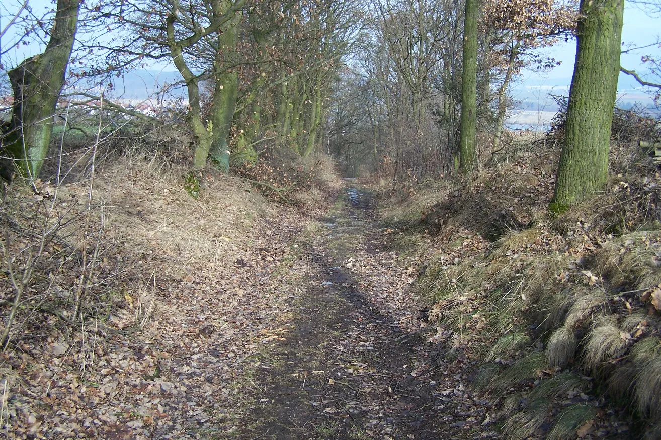
Dänischer Berg307 mPeakDänischer Berg offers panoramic views of the Thuringian Forest and is a popular spot for outdoor activities.
8 km
8 km
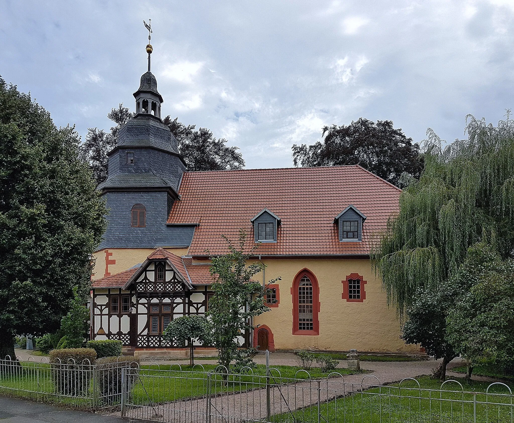
Breitungen/WerraCastleBreitungen/Werra is known for its well-preserved half-timbered houses and scenic riverside location.
26 km
26 km
Hofberg431 mPeakHofberg is home to an impressive castle ruin and offers scenic views over the surrounding countryside.
26 km
26 km
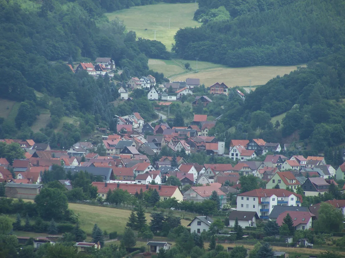
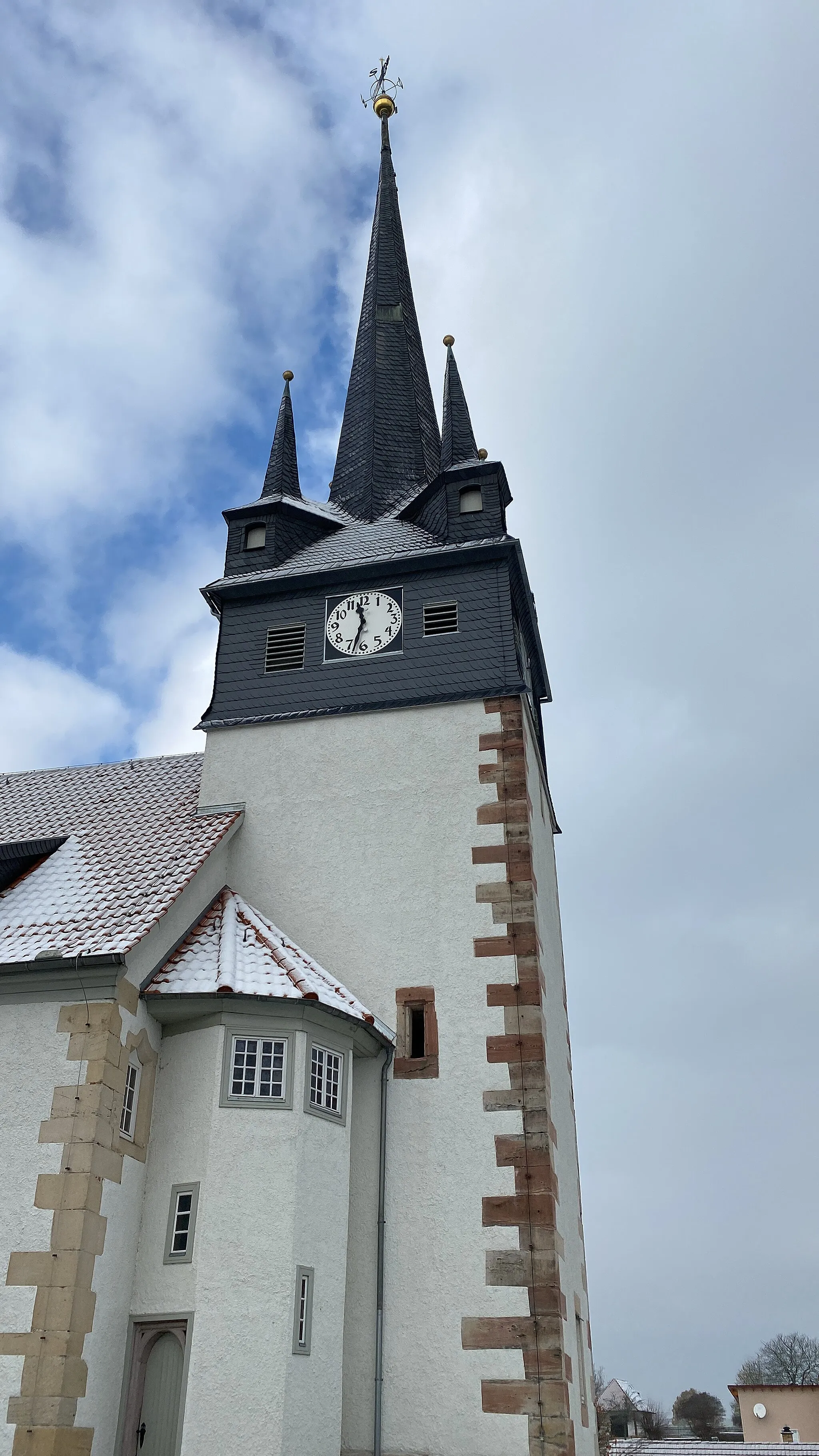
RoßdorfVillageRoßdorf is a quaint village with traditional half-timbered houses and beautiful gardens.
32 km
32 km
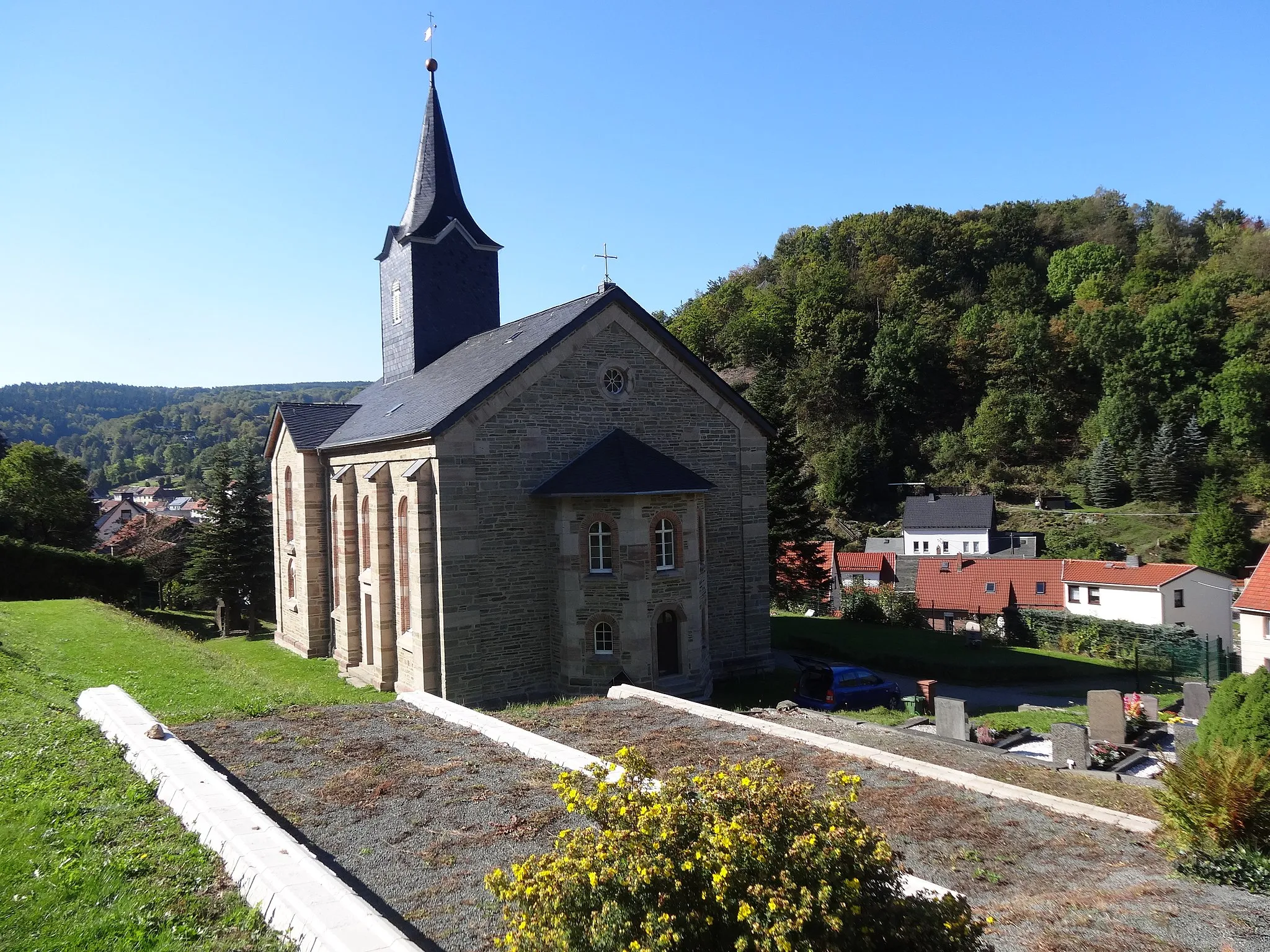
UrnshausenVillageUrnshausen is a charming village with historic buildings and a peaceful atmosphere.
36 km
36 km
Grafenstein412 mPeakGrafenstein is known for its beautiful landscapes and is a great spot for outdoor activities such as hiking and biking.
54 km
54 km
Galgenberg350 mPeakThe Galgenberg offers panoramic views of the Thuringian Forest and is a popular spot for sunrise and sunset photography.
55 km
55 km
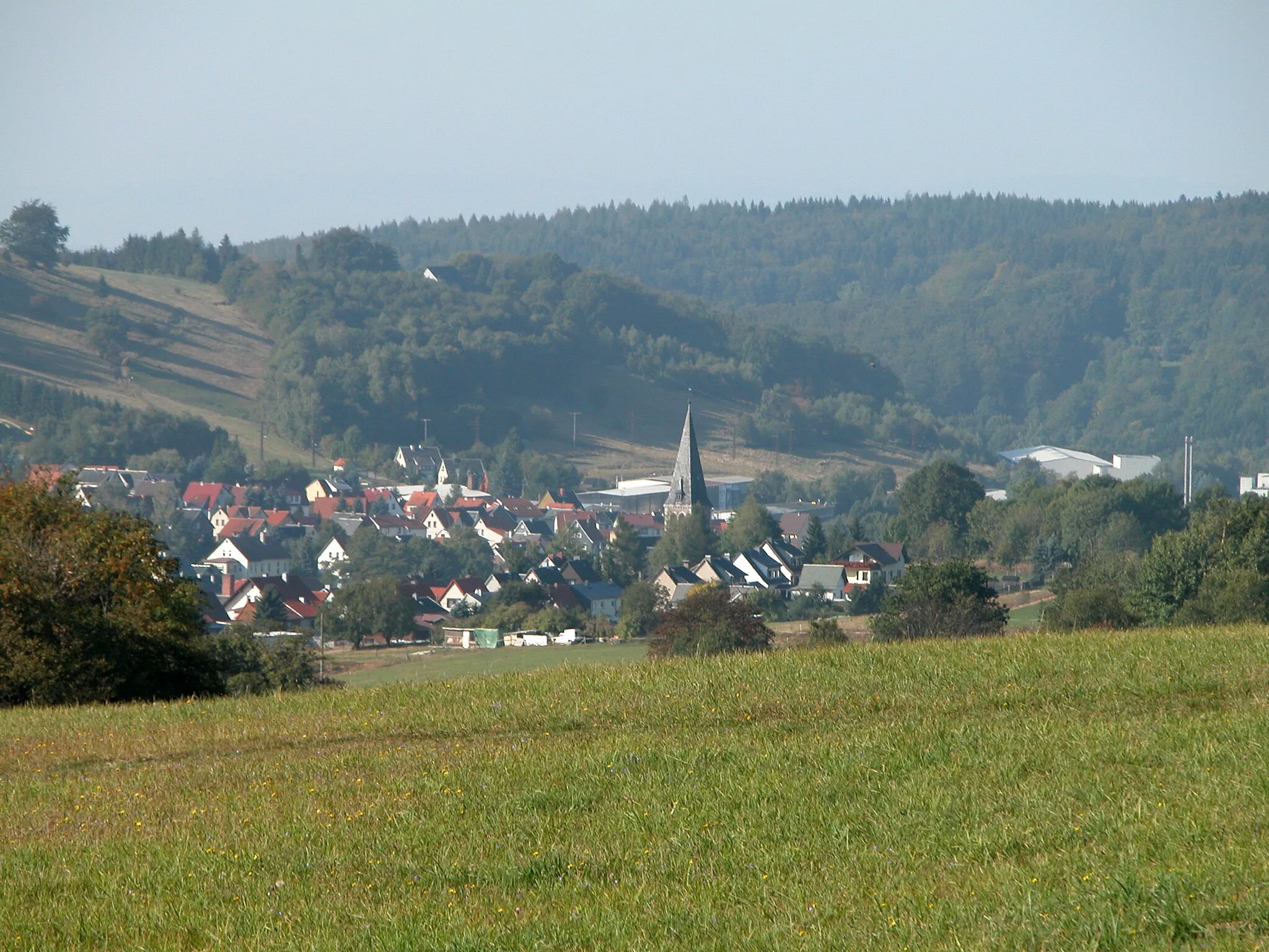
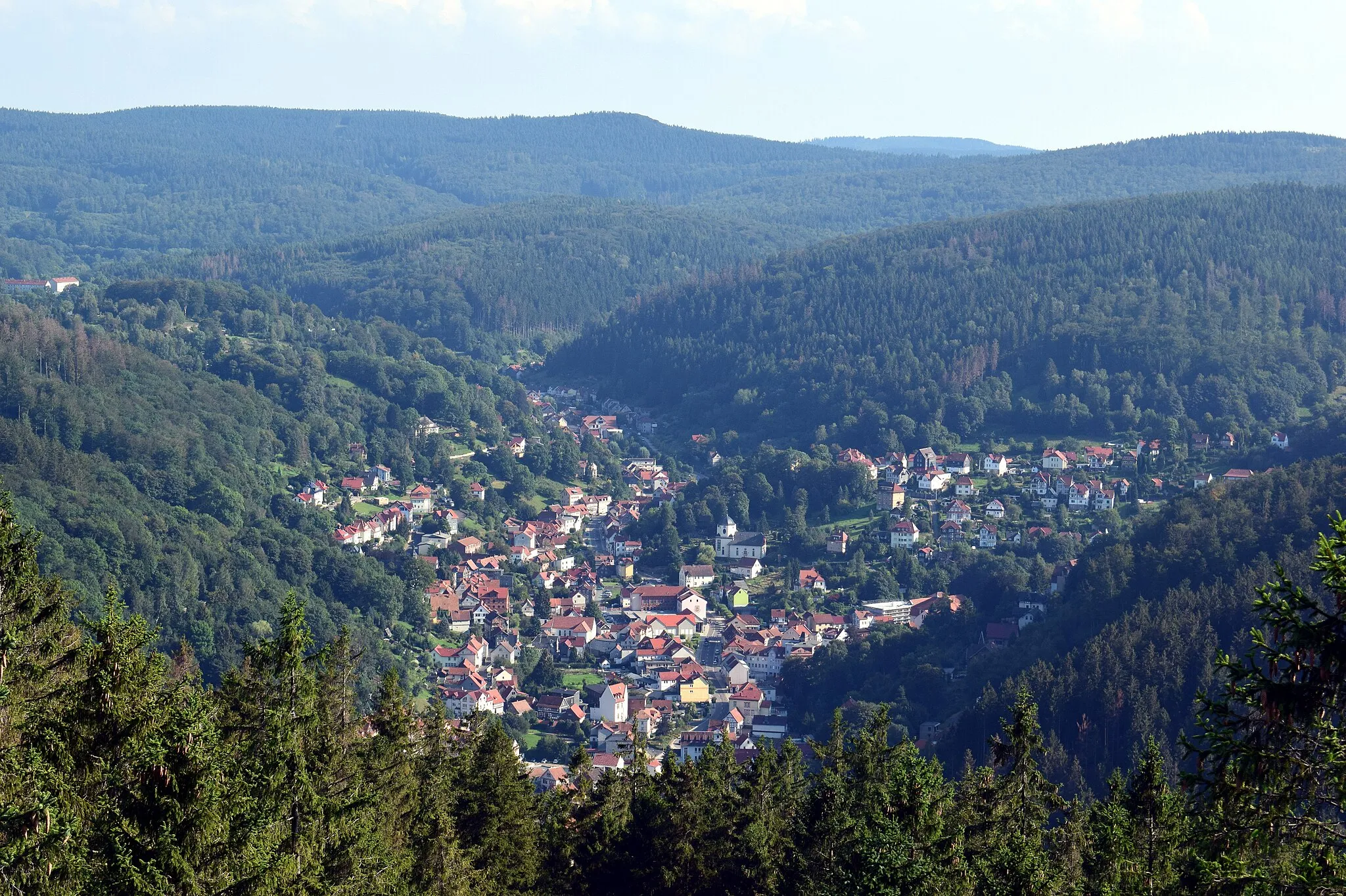
SchweinaSub-urbSchweina is a picturesque village located in the heart of the Thuringian Forest, known for its scenic beauty and outdoor activities.
56 km
56 km
Finish: Bad Liebenstein City centerBad Liebenstein: Challenging climbs and scenic routes in the picturesque Thüringer Wald.
Cycling routes from Bad Liebenstein:
Thuringian Forest Exploration Picturesque Ride through Historic Villages Ultimate Thuringian Forest Experience Gravel Adventure through Thuringian Forest Historic Towns and Natural Beauty Cycling Route: Bad Liebenstein - Steinbach - Schmalkalden - Pelzelkopf - Breitungen/Werra - Dänischer Berg Gravel Adventure through Challenging Terrain Cycling Route: Bad Liebenstein - Sandberg - Schneeberg - Wasungen - Dänischer Berg Cycling Route: Bad Liebenstein - Mittelberg - Mechterstädt - Tambach-Dietharz - Weinberg Challenging Gravel Ride in Thuringian Forest A Gravel Adventure to Brotterode Adventures in the Thuringian Forest Steinberg and Thuringian Forest
Cycling routes nearby: